Ontake
- Ontake
- 3067 m
- Primary factor 1712 m
- Japan
- Location: North 35.89302, East 137.48045 (GPS on the summit)
- Difficulty: YDS class 1
- Attempted August 3. 2016.
- Climbed October 9. 2019.
Ontake
|
|
October 9th. 2019:
Heidi and I were living in Hong Kong in the fall of 2019. I became aware of the
improved situation on Ontake, but that the last day of hiking would be October 16th.
Keeping a close eye on the forecast, it seemed that October 9-10th would be good.
I decided to make a quick trip, but also
try climbing Dai-sen, the peak that we turned
on in 2016 because of very unstable conditions.
I left Hong Kong mid-day on October 8th. and flew to the Central International Airport
of Japan with Nippon Airways. Arriving on time, I had hoped to buy a train ticket to
Nakatsugawa, but the ticket window informed me that I needed to buy the ticket from another company (JR).
Ok, so first buy a ticket to find JR, to Kanayama. Only cash, I had gotten some cash but expected
that credit cards would work. In Kanayama, I got my ticket and decided that there was time to
increase my supply of cash at a local ATM. I next got on the train for Nakatsugawa, however after about
5 (local) stations I realized that my laptop had been left behind on the ATM. I had used it to explain the
ticket office where I wanted to go and (stupid!) carried it in my hand then had to put it on a shelf to
operate the ATM. Full CRISIS ! My laptop contains everything. I got off on the next station and
took a train back to Kanayama. Ran to the ATM, but no laptop there anymore - about one hour had passed.
Next, find the local police - fortunately not far away. THEY HAD MY LAPTOP !! Good luck and thanks
to some unknown, but very honest person that found it and delivered it. Back to the train station, I
got on a train to Nakatsugawa almost on the minute one hour after my original one, good that there
are many trains in Japan. I shall be more careful and focused for the remainder of this trip.
The train took me to Nakatsugawa, I walked 10 minutes to the guesthouse where I was well
received. Checked the internet briefly then to bed.
Up shortly after 0500, I walked to the train station and located a 7-11 store nearby. Good to
buy some breakfast (rice-wraps) and coke. The train left on time and got me to Kiso-Fukushima in
about one hour (a local that stopped at all stations). The tourist information is directly
across the street. They informed me that the ropeway (gondola lift) started at 0830 and that the
first bus there would leave at 0840 and arrive at the mountain around 0940. More importantly,
the only bus back to Kiso-Fukushima that I could take would leave the mountain already at 1315.
Thus it was clear (similar to what Rob reported) that a taxi would be needed. A taxi was called
and I arrived shortly around 0815, this cost slightly more than 10.000 JPY. More potential
trouble ahead, I was informed that "maybe" the ropeway would start running around 1000.
It was clear that I needed to hike from the base station. Quite surprisingly a Japanese man appeared
and offered to drive me to the highest public parking, saving
almost 250 meter vertical. Thus, I started at around 1800 meter of elevation and had about 1270
to the summit.
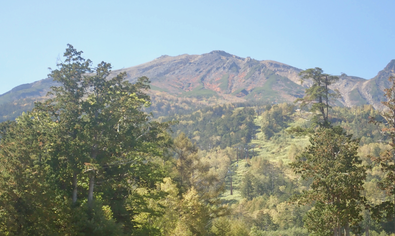
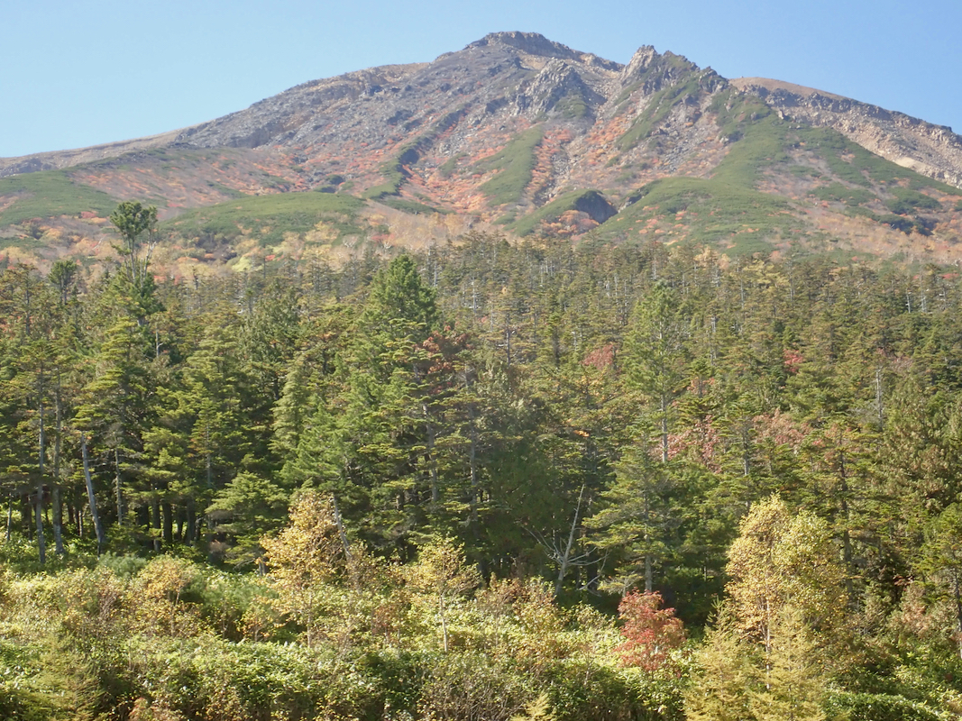
I started out with a reasonably fast walk hoping that it was sustainable and overtaking a pretty
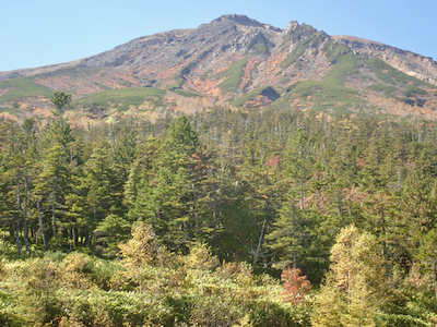
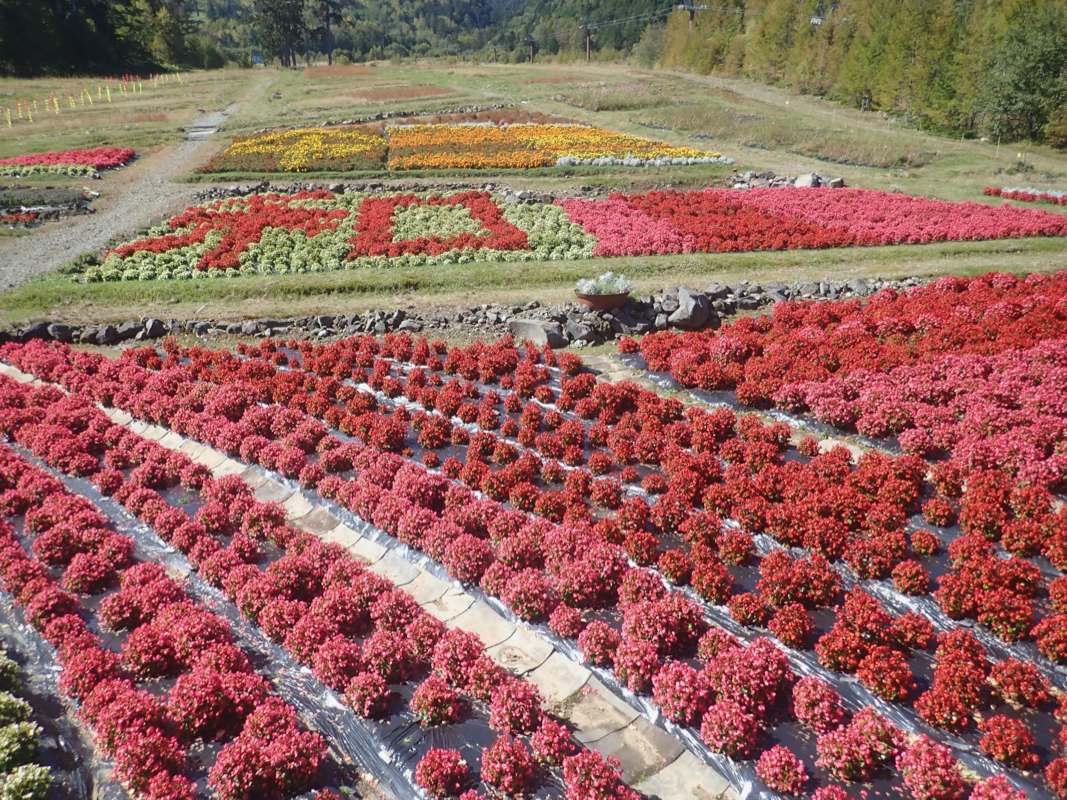
large number of local hikers. The day was just gorgeous, blue sky, a warm sun and good fall
colors everywhere.
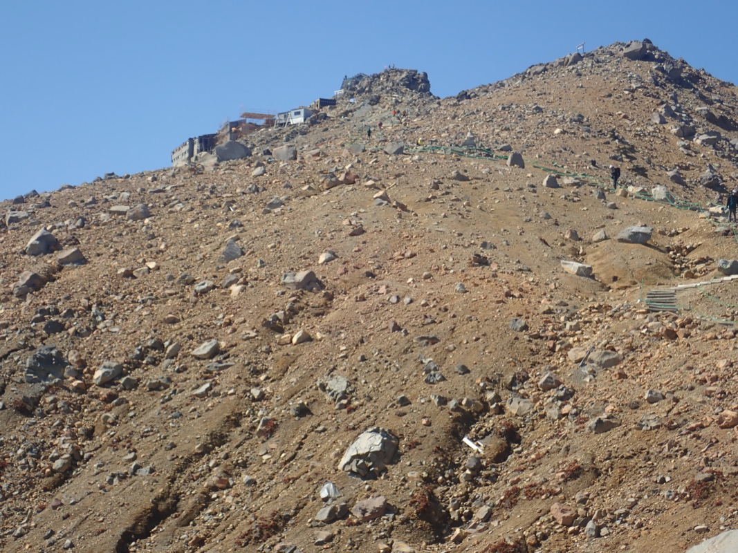
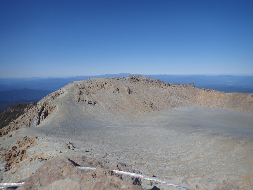
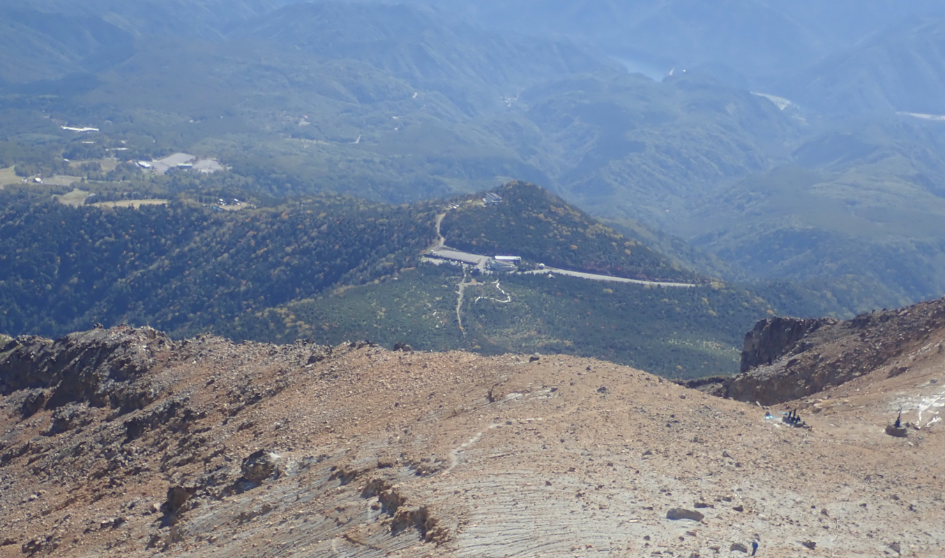
I made the summit in
exactly 2 hours and knew with confidence that I would
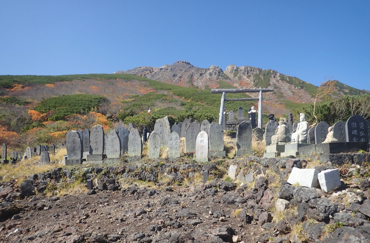
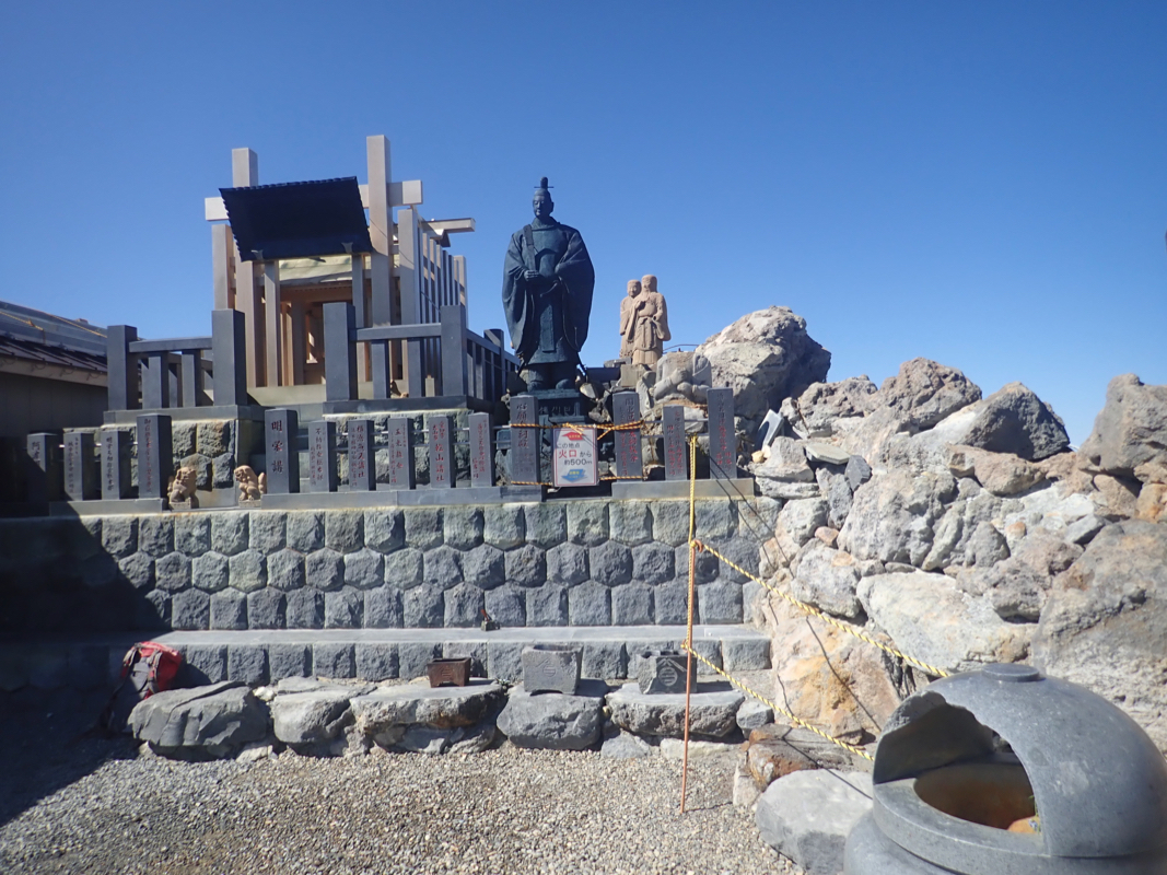
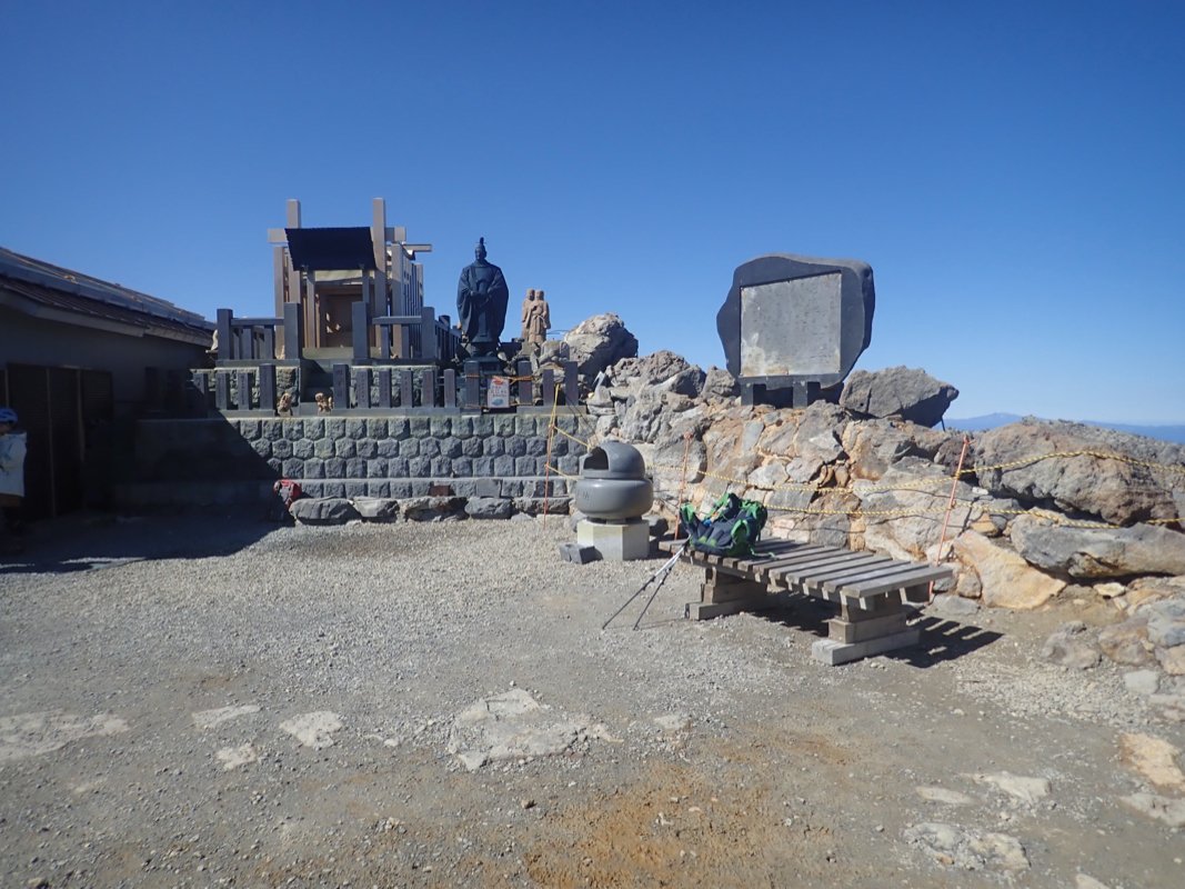
make the 1315 bus. The highest rocks were roped off and it
seemed that all Japanese hikers
respected this. I wondered if anybody would feel bad seeing this foreign tourist crossing
the ropes and doing a short scramble (5 meter) to the very top. I did not notice any negative
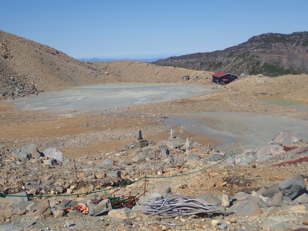
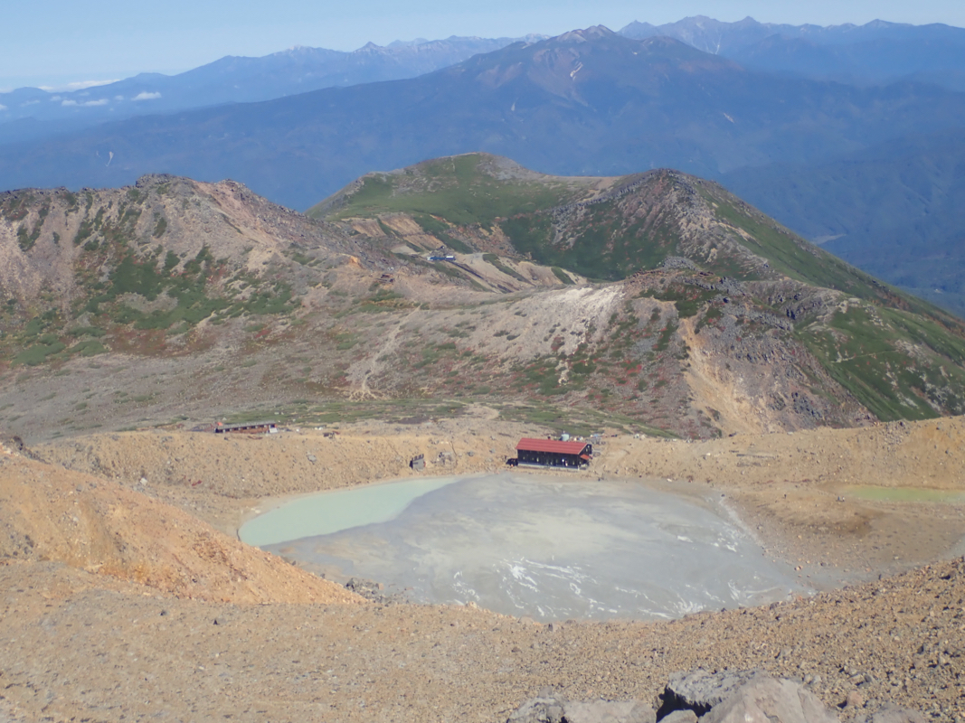
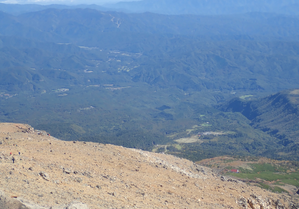
reactions. Good views across the crater as well as down slope. I stayed around almost 30 minutes feeling
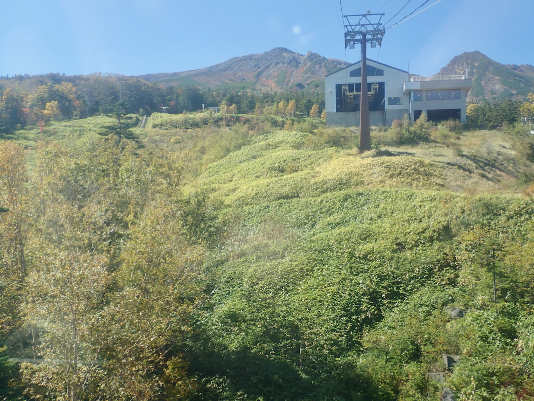
that I needed a break before descending. Leaving at 1055, I made a quick descent, then noticed that
the ropeway had started running. I was at the top station
by 1155 and got down with about one
hour to spare before the bus departure. An early dinner in the restaurant was the best idea I
could come up with.
Back in Kiso-Fukushima at 1410, the train station found a departure at 1430 that would get me
to my next guesthouse well before 2100, good news.
The Japan railroad system works really well with frequent and always on time departures.
It still can easily be a bit confusing before you understand the system. There are many
tracks and ports to enter/leave, each train has a name and if you find the name on a train
that also has a scheduled departure time that matches your ticket, you are in good shape.
One can buy tickets with a reserved seat as well as unreserved, the price difference is
considerable. My ticket (with seats assigned in 3 trains) ran 18.000 JPY.
This would get me to Yonago, a good starting point for climbing
Dai-sen tomorrow.