Location: South 21.09938, East 055.47998 (GPS at the summit)
Difficulty: (YDS) class 2
Climbed February 25, 2014
Information:
How to get there:
This island is located in the Indian Ocean, east of Madagaskar. There are
daily flights from Paris.
Once on the island, locate the town of St. Louis on the south-west side of the island.
Driving there on the freeway from St. Denis, take the second exit for St. Louis, signed with Cilaos.
Follow signs for Cilaos, you should be on Hwy. N5.
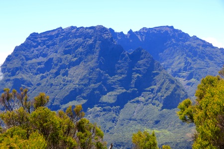
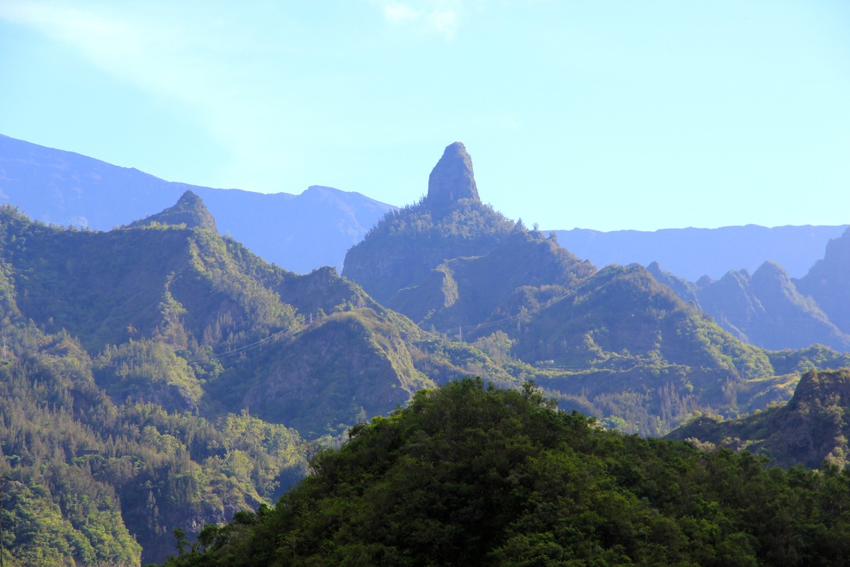
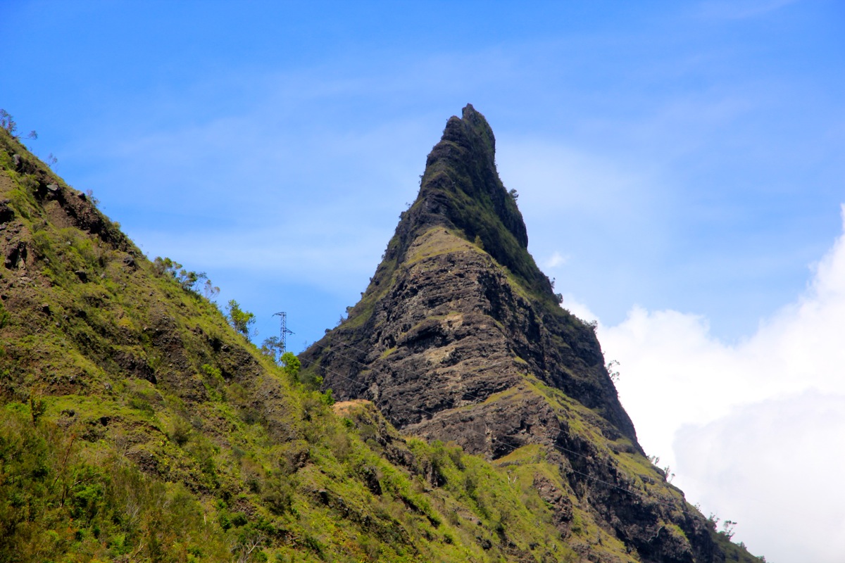
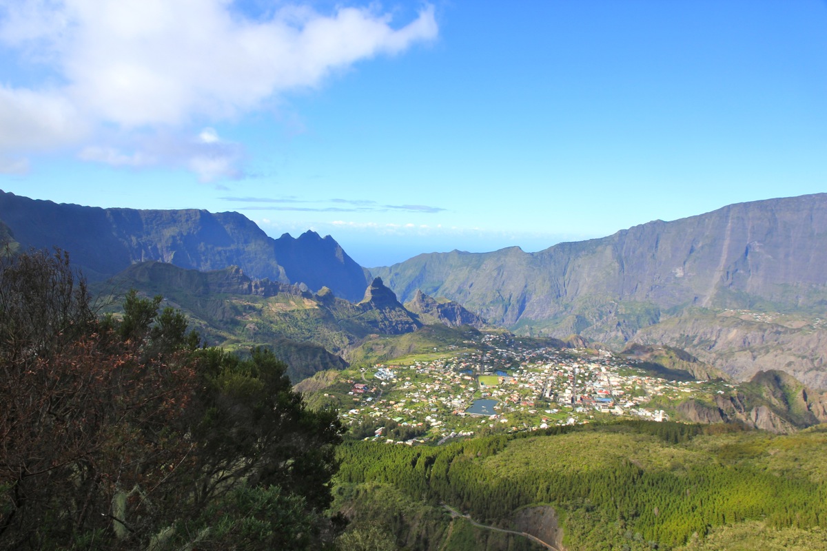
The road to Cilaos is worth a journey in itself.
Incredibly scenic with very sharp curves
as it travels inland. There are two single lane
tunnels, flash your highbeam and warn possible oncoming traffic to wait until you are
through! The second tunnel runs through this cliff!
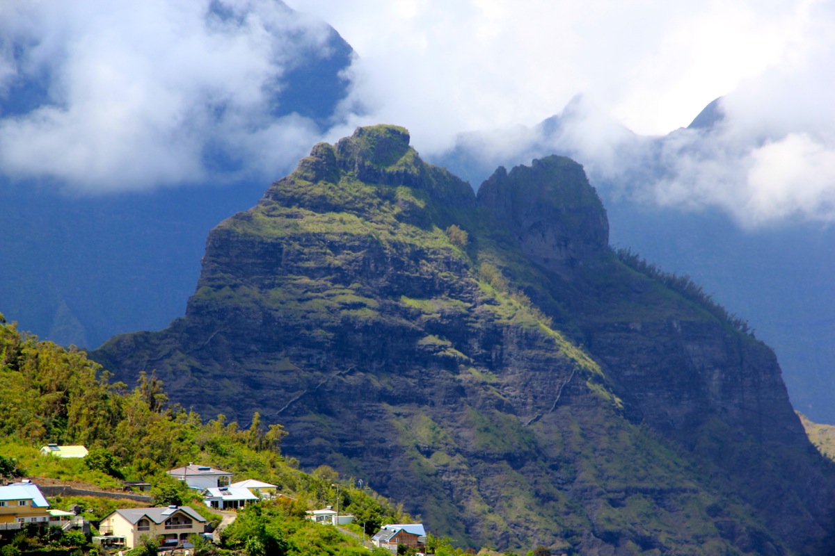
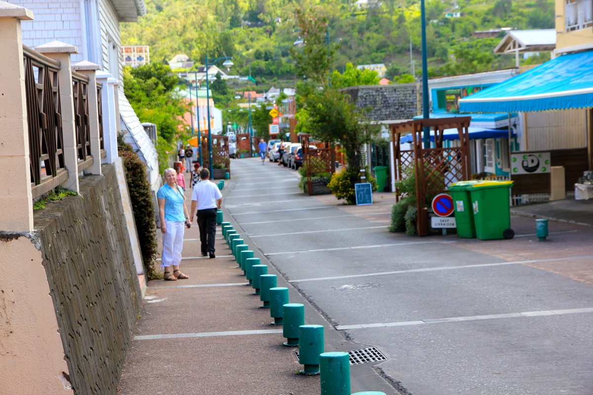
The village of Cilaos is
surprisingly large and colorful, given the absolutely
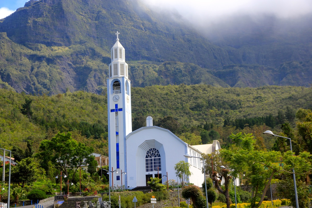
incredible access. Drive onwards and locate the nice church at the upper end of town.
You will enter a road signed D241 that leaves town near the church. Follow this road a short stretch and locate signs for
Piton des Neiges. There is parking on both sides of the road, often quite crowded.
Route description.
This climb can be done in a single day, however, in order to see the sunrise from
the summit, most people make it a two day ascent.
There is a well marked trail all the way, mostly (YDS) class 1, but a bit rougher above the refuge,
thus getting a class 2 grade.
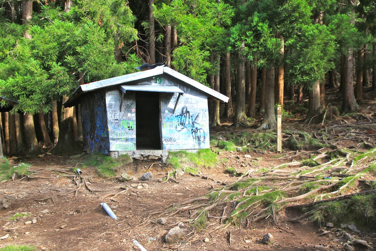
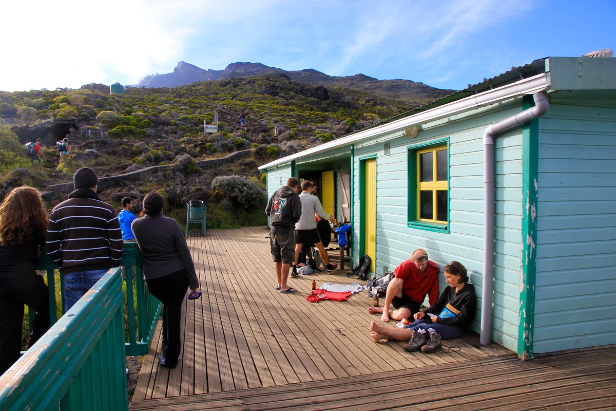
There is a hut (refuge) called Caverne Dufour, on the route. The hut is often full and
advance reservation is strongly recommended.
To Refuge de la Caverne Dufour:
The trail starts out a bit to the left. It quickly becomes very well
defined and climbs the hillside in numerous zig-zags. The trail is well maintained
and wooden steps provide easy walking. You will pass a viewing platform, a good place
for a picture of the valley (called a Circ) and Cilaos.
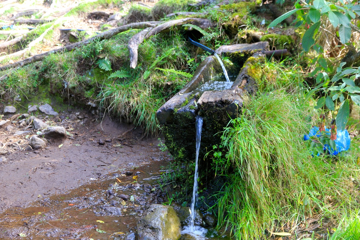
Half way to the Dufour, there is an old hut, but
more important, a very nice supply of drinking water.
This spot is at elevation 1969 meter.
The second half of this route, continues to zig-zag uphill. The upper part of the slope
before gaining the crest, is quite steep, but the trail remains gentle and gradually gains
elevation. At the crest, you will see the Caverne Dufour a bit further across, the final
stretch is first a short downhill, then a short, gentle uphill to the hut.
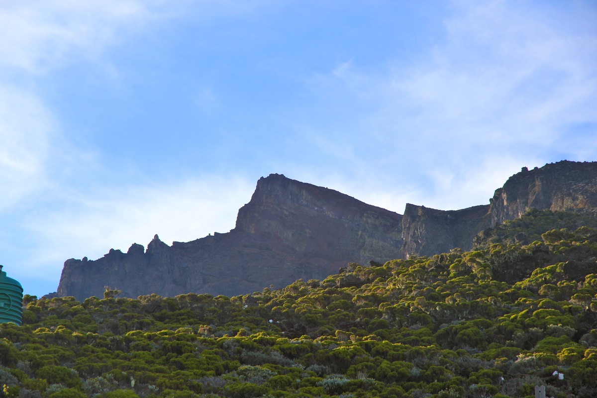
From here, you see the summit of Piton des Neiges, it is not very far away.
To the Summit:
The trail from Caverne Dufour to the summit is well marked with white paint on the rocks.
The route starts out directly uphill from the refuge, following what looks like a dry creek.
Further along, the route makes a traverse right, before turning gently more left in order to
follow the gentle and broad ridge that leads to the highest point. There is a second summit
a bit further along, connected by an easy and gentle trail. However, this summit is a few meter
lower.
Comments:
I left our hotel in the afternoon on Monday, February 24. The plan was to drive up to
Cilaos, then hike to Caverne Dufour. The summit climb should then be early on Tuesday
morning and return back down to our hotel in time for luch with my wife Heidi.
The road to Cilaos was quite an adventure! Incredibly scenic, with hairpin curves second
to none. Single lane tunnels and very good views of a dramatic and very unique landscape.
Arriving in Cilaos, I was impressed by the size of this village, given the somewhat demanding
access. I continued to the trailhead and captured what looked like the last available
parking spot.
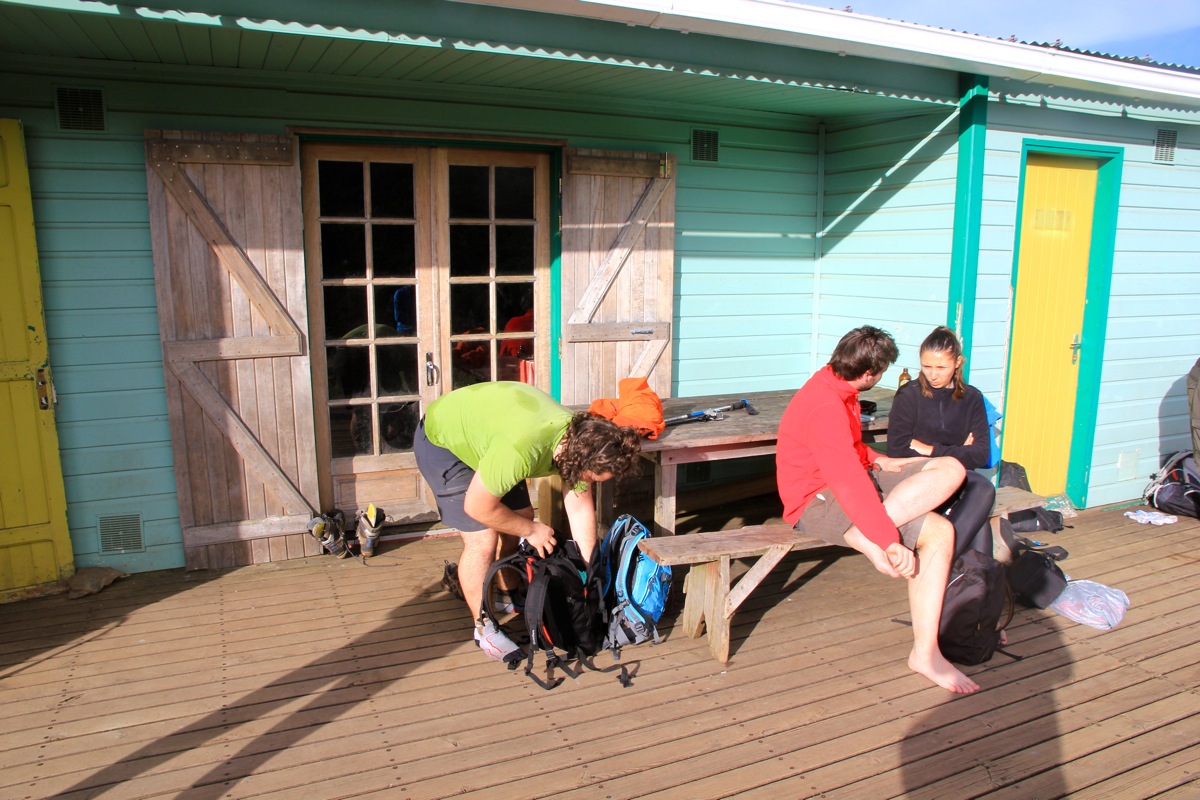
Leaving at 1500, it took me one hour to the half-way spot with excellent drinking water.
I carried 2 liter of water that I could have left behind. After a 5 minute stop, I carried
on and arrived at Dufour at 1705. Quite a few people had
already arrived. I had passed
one party on the trail, they arrived around 1800.
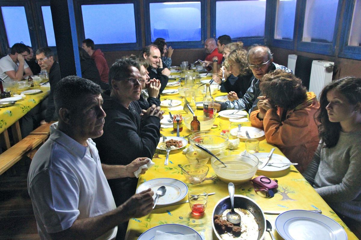
Dinner was served at 1830, local, very
tasty food. What impressed me most was
4 full one liter bottles of a local drink, alcohol
content 35 percent! that was included in the meal for about 20 people. Obviously, most
was not consumed or nobody could have climbed Piton des Neiges the next morning.
I went to bed early and woke up by general noise as everybody prepared for the climb around
0330. I was well organized and left the hut at 0355.
It was a beautiful morning, a tiny moon and an otherwise black sky with stars scattered
all over.
There were several dots of light on the hill from people
that had left even earlier. I overtook quite a few, but did not hurry. I knew that I would arrive
quite a long time before sunrise. In fact, the clim took exactly 1.5 hours, thus arriving by
0525. There were 5 people already on the top. The weather was nice, not too cold, but one
could notice the wind that often picks up in the last hour before sunrise.
Lights from the coast, while the Circ was dark, but for the lights from Cilaos.
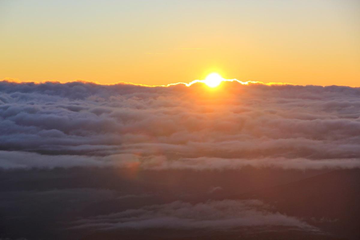
Dawn and increasing light was gradually there. A few clouds out in the Indian ocean made the
sun appear from the top of these clouds rather than from the sea itself.
By the time of sunrise, approximately 0610,
we were about 30 people on the summit plateau.
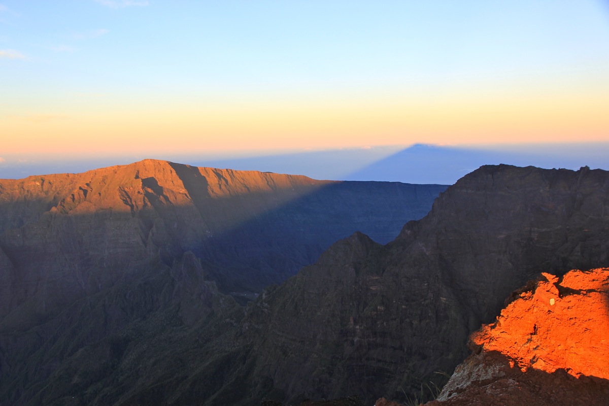
It is always fun to see the shadow of big peaks around
sunrise, they project on lower
land or into space.
I left at 0625, and walked down to Dufour, arriving there at 0735. Paying for dinner and two
bottles of beer, then continuing down at 0750. It took me one hour down to the half-way
point, then another 45 minutes back down to the car.
Here is a quick summary to my climbs on Reunion.