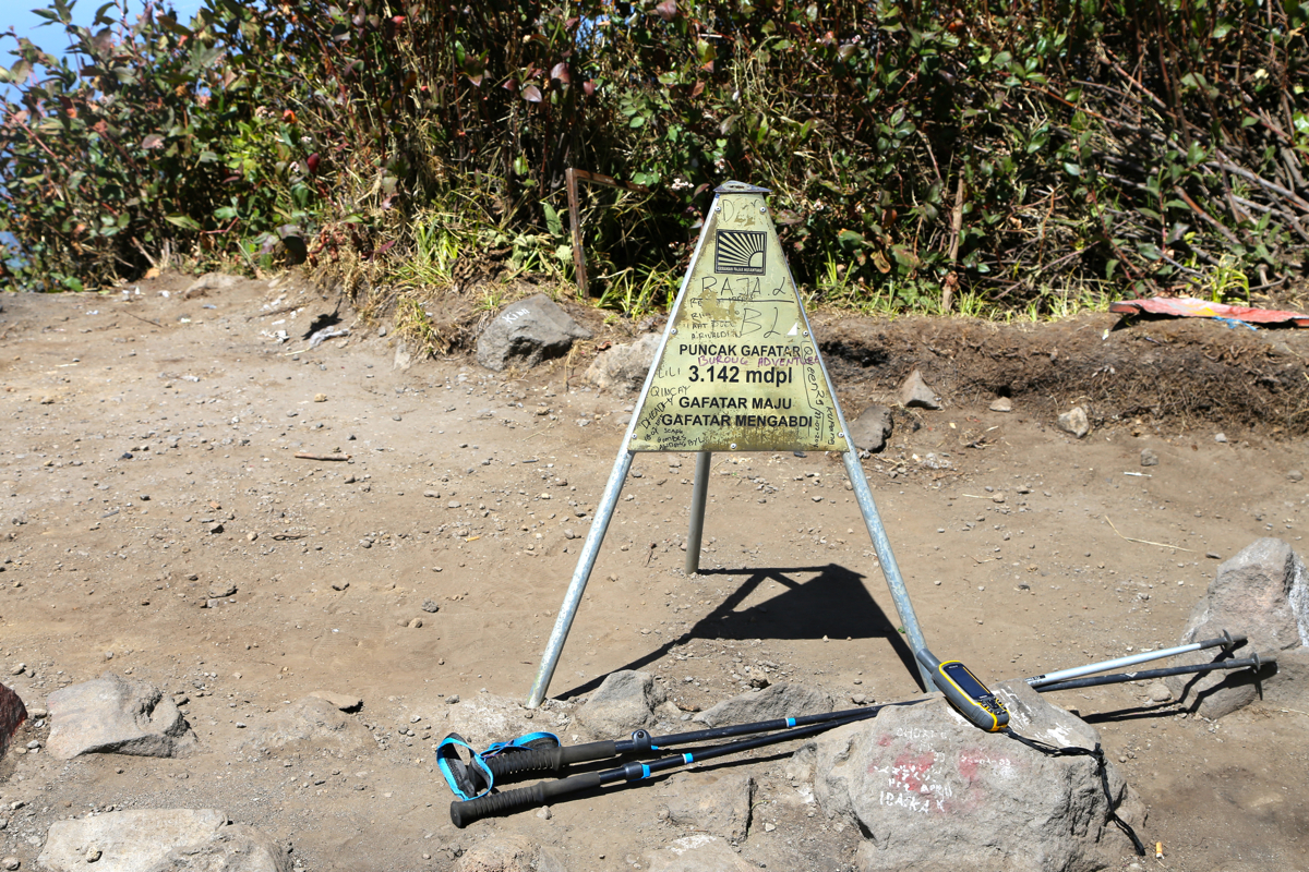
Location: South 07.45427, East 110.43969 (GPS on the summit)
Difficulty: (YDS) class 2
Climbed July 19, 2015
Information:
How to get there:
There are several trails. This report describes a nice traverse from north to south.
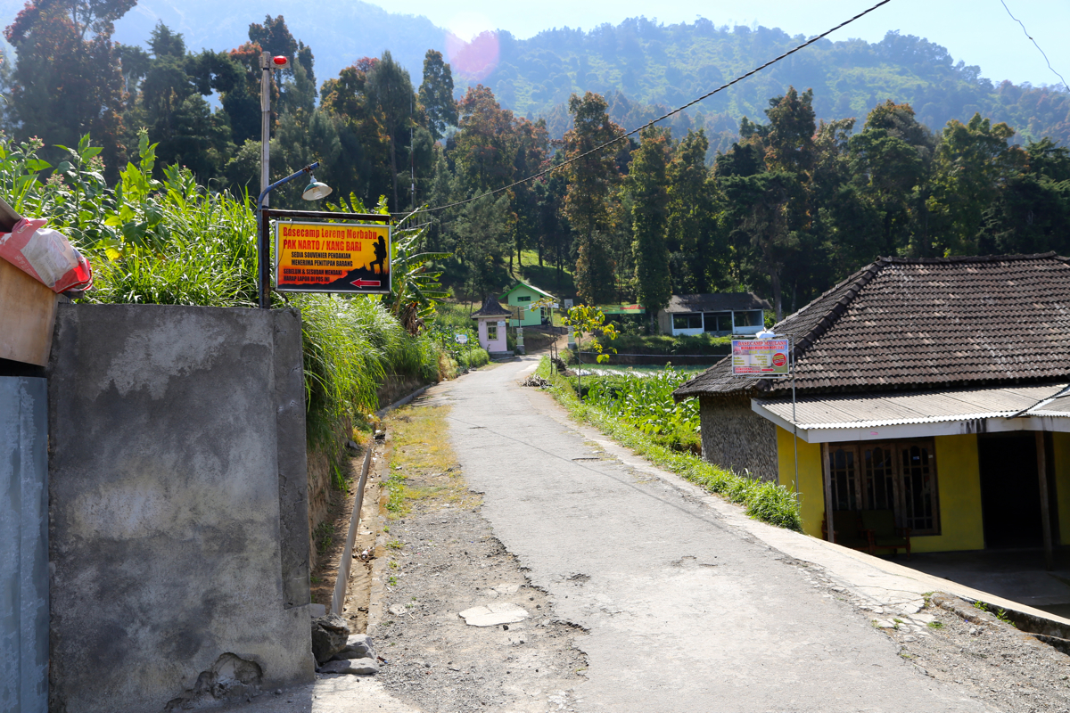
First locate the village of Kopeng. As you drive east over the highest point along the main street of
Kopeng, continue a bit downhill and find a very obscure sideroad going right, that serves the smaller
village of Tekelan. (One may have to ask locals about this!). Follow the narrow road that climbs uphill
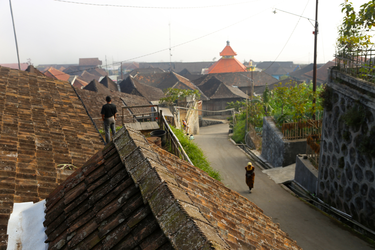
and serves Tekelan. As you drive up the main street
in this little village,
you will find a small
Park office where you register, on your right hand side.
This is the trailhead, location
S07.41226, E110.42616, elevation about 1640 meter.
This is a quick summary and reference to climbs made in the summer 2015.
Route description.
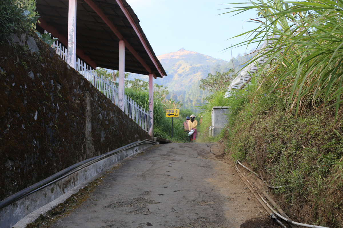
The route is well marked as you leave the last houses in the village, it runs left passing
in front of a house before heading uphill. There are several signs along the way, seems
very hard to get lost here!
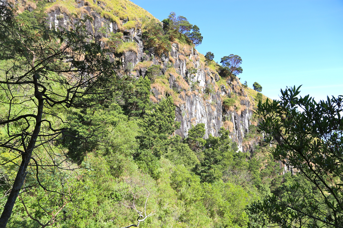
This is indeed a very nice trail for
walking. It curves around
and above a big ravine, then up on a gentle hillside before climbing a bit more
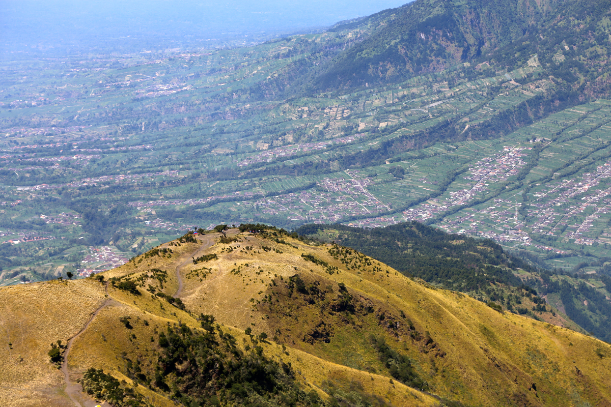
steeply, to the top of a first summit. There is a big radio-mast on this summit.
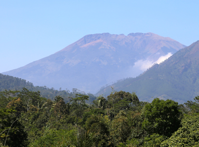
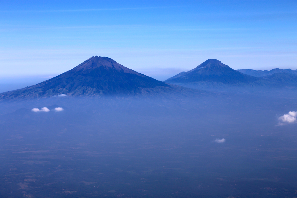
The view across to Sumbing and Sindoro is superb.
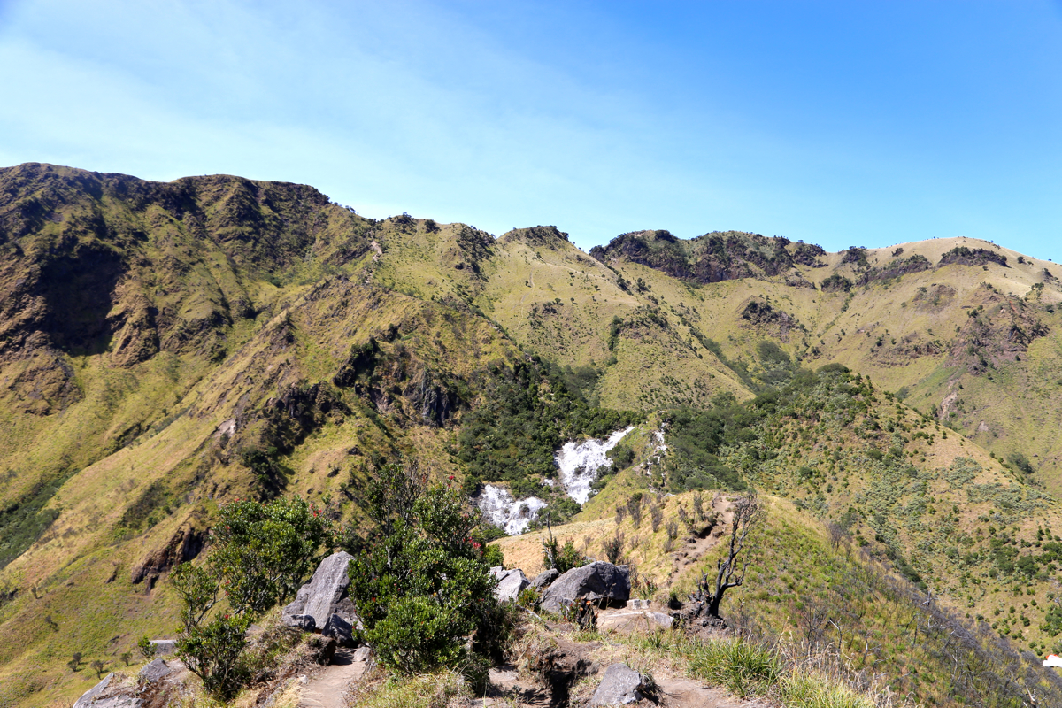
From here, the trails descends only slightly as it crosses
to the pretty broad hillside
that supports the remaining peaks. (The park recognizes seven peaks, but most of them have
rather limited prominence.) Ascend to the crest and turn right. Soon, there is a trail fork
with the right fork crossing over a small summit, while the left fork traverses around it.
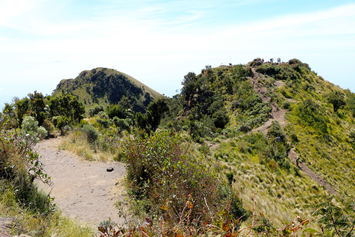
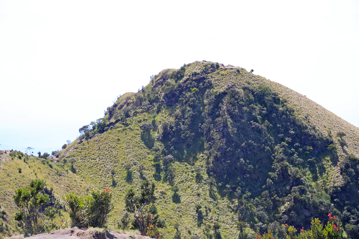
Next, a slightly steeper section that brings you close to the final summits, number
six and seven. They have almost equal height and are connected by
a rather shallow saddle.Number seven is
the higher one, but even the map you receive in return for
your registration fee has this wrong.
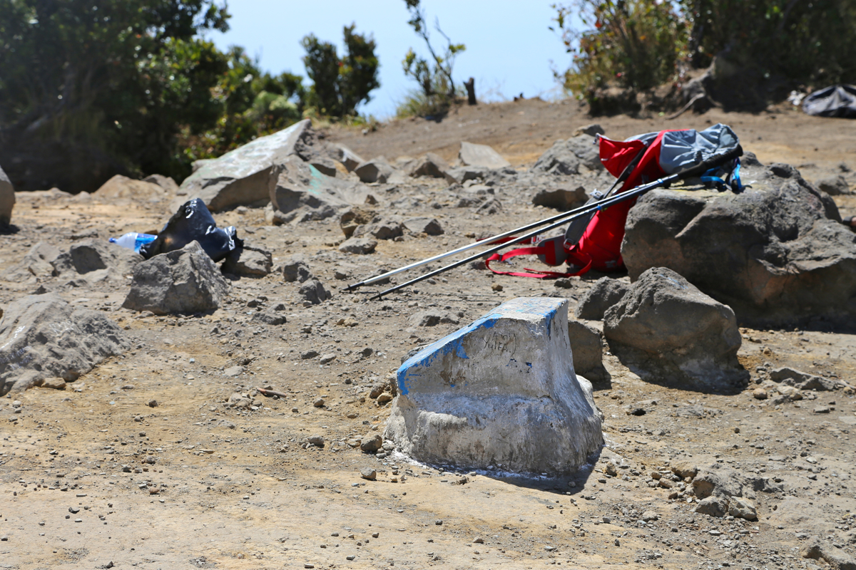
The trail descending to Selo starts down from the saddle between summit 6 and summit 7.
It is steep and mostly sand/clay, possibly difficult (slippery) if wet. The route descends
in stages with more level sections in between. After one such steeper part you arrive at
an almost circular, flat area. A trail runs furtherbetween some smaller hills. Do not
take this, but locate a trail that descends directly to your left side. This is the trail
to Selo. It soon enters an area with trees as it continues downhill with more gentle sections,
finally sort of traversing right and exiting at the
very end of a road at the
upper end of the local village. This location is S07.48361, E110.45948, elevation about 1850 meter.
Comments:
I left MesaStila at 0615 and
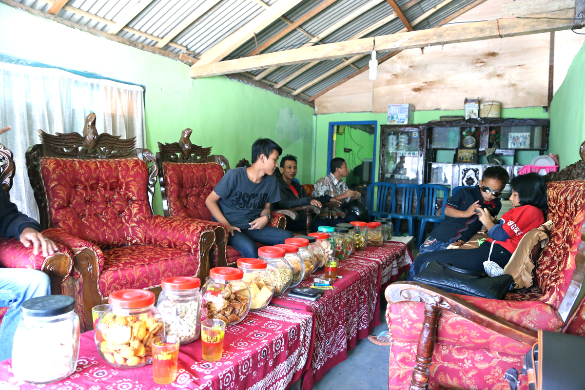
we arrived in Tekelan around 0730. A brief stop at the park
office to fill out a registration form. The fee was 15.000 and in return
I received a local map with the "7 summits", however, they had gotten the
elevations and the summits confused, the highest peak was shown in an incorrect
location.
I told my driver and his son goodbye and we had already agreed to meet again at the
south side of the mountain. I started hiking along a very well maintained and marked
trail at 0750. The trail was actually very nice as it climbed the hillside next to
a steep ravine, with cliffs also on the other side. I kept a pretty good pace and arrived
at the first summit, a point with a radio mast, at 0950, a vertical gain of almost 1300
meter in 2 hours.
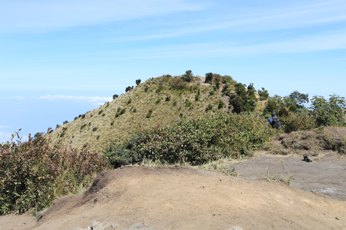
I could now see most of what remained, the "summits" are really closely connected humps
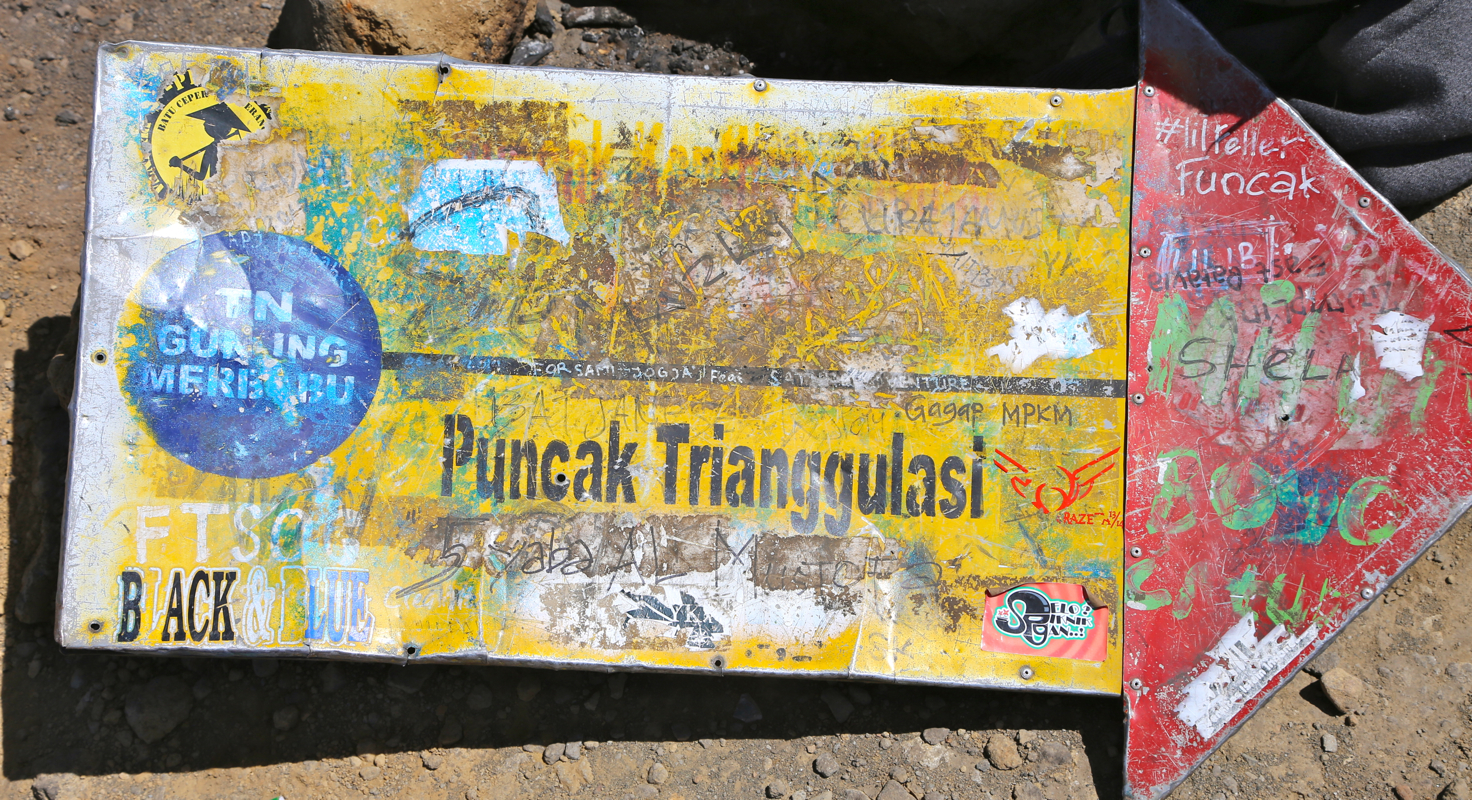
with very little prominence. I arrived at the main summit
(which is summit no. 7) at 1100 after
3 hours of effective walking. The weather was
nice and the views outstanding. I spent about
30 minutes in total on summit 6 and
on summit 7, they are only a few minutes apart and quite close
also in elevation.
Descending at 1130, I soon discovered that this trail on the south side is quite steep in places
and only dirt. It would indeed be very slippery if wet. After the initial descent, I crossed
over a small subsidiary hill, while the main trail descents on the right hand side.
I continued downhill, observing the trail-fork
at the flat, circular plateau, then down a small valley before more forest. Surprisingly
early, I emerged from the forest to find the end of a paved road at the very upper
end of a village. The time was 1320 and the whole traverse including a 30 minute stop
at the summit, had taken only 5:30, considerably less than what I had stipulated based
on reports on the Internet.
We made a brief stop at the house
where my driver was born, his mother was
happy to see us and wanted us to stay longer.
The drive back to my hotel turned out to be quite long lasting (4 hours).
Monumental traffic jams almost everywhere. The Indonesians are going
home after their big holiday (End of Ramadan).