Location: North 33:48.885, West 116:40.766 (GPS at the summit)
California, USA
Difficulty: YDS class 1
Climbed: July 6, 2008
Information:
How to get there:
This mountain is located near Los Angeles. More precisely, it is located
south of San Gorgonio and just west of Palm Springs. There are several trails
and points of access, this description avoids the cablecar and leads to a relatively
short route to the summit.
Locate the charming village of Idyllwild, located on Hwy. 243 that connects Hwy. 74 (south)
with Hwy. 10 (north). Start to measure in the center of Idyllwild. Go north on Hwy. 243,
5.4 miles. At this point turn right, there is a road sign saying Azalea Trails. At 5.5
miles you approach a campground, there are signs saying "Use fees collected", do not enter
but turn left before this sign. Continue on a winding, paved road. At mile 6.3, continue
straight ahead, then at mile 6.6, take the right fork (the left serves another campground).
Proceed to mile 6.8 where there is parking between trees on your left side. Note that parking
here also requires that you have the Adventure Pass (dollar 5) that is sold by the Forest Service.
This is the trailhead, location N33:47.471, W116:44.150, elevation about 1930 meter.
Route description:
From the trailhead, first follow a zig-zag trail that climbs the first hillside and traverses
just abobe the Marion Mountain Campground. Continue to follow the trail called Marion Mountain
Trail for 2.5 more miles where it intersects with other trails. Signs will always point you
towards San Jacinto Peak. Another 1.5 miles and you arrive in a flat area (with a couple of creeks)
called Little Round Valley.
This is a popular place to camp for backpackers. Another mile, then a short
summit trail going left to the summit. The trails
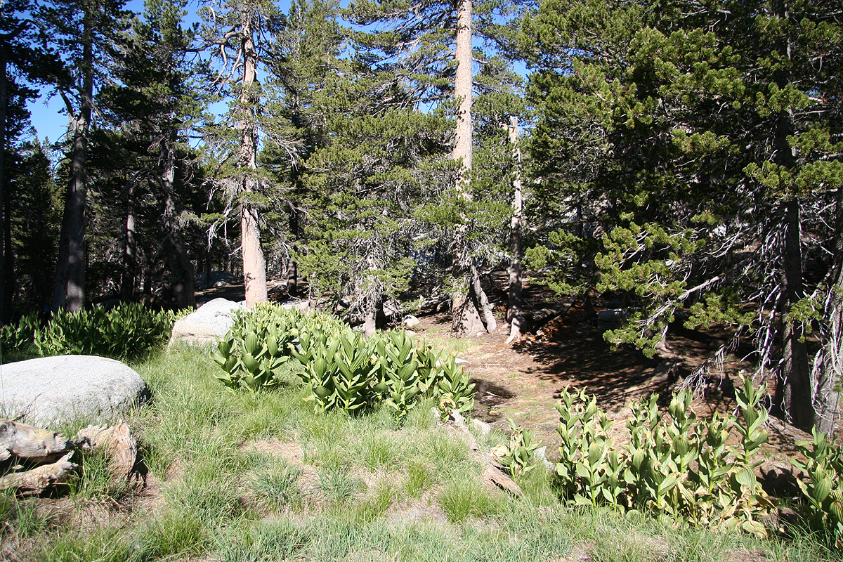
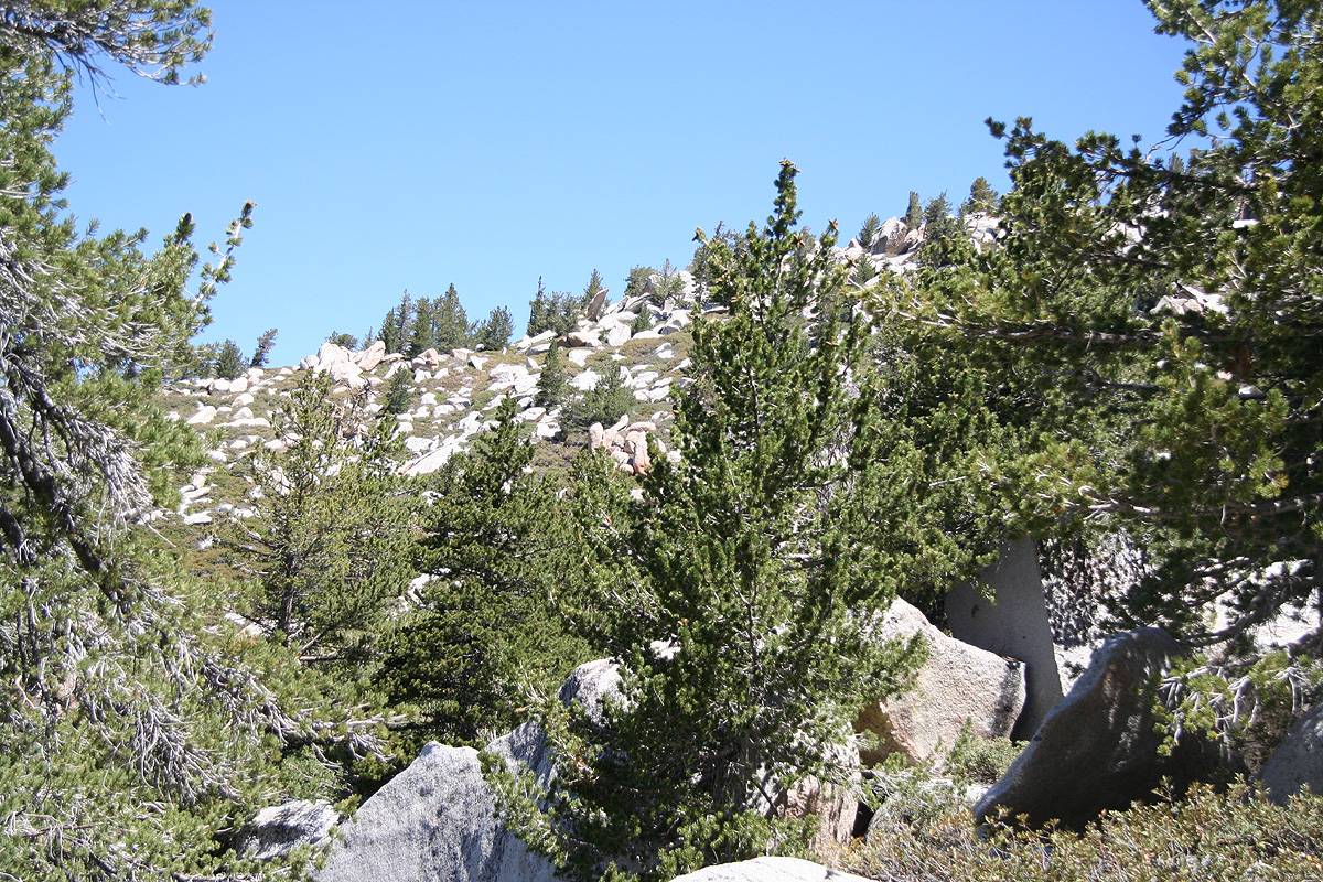
are very good, most of the hike is among pretty
large trees, however, the landscape is pretty characterized
by big boulders that seemingly have
been spread around almost everywhere. The summit area is no exception, the highest point is indeed
on top of a pretty good sized boulder.
Comments:
I arrived after dark, having enjoyed a very good dinner in Wrightwood.
I left my car at 0600 and followed the completely obvious trail to the summit,
arriving there at 0930. It was a very nice day and my last summit in this (part-I)
period of my summer trip. I spent a full hour before beginning the return hike at 1030.
About 15 minutes after arrival, another (middle age) man arrived. He told me he needed
the activity as he prepared for going to Elbrus and Kilimanjaro, part of his
chasing the seven summits.
When I asked him if he had climbed Everest, the answer was
afirmative, "three times to Everest and two successful ascents." When I asked why he climbed
it twice, the reply was that he needed to check out both the south route as well as the
north route. It turned out that the guy had climbed several more 8000 meter peaks in the
Himalayas, just the kind of "random" guy that I tend to run into.
Back at the car by 1245 and ready to go to the SIAM annual meeting in San Diego.
However, first a very good lunch in Idyllwild, a perfect way to end what had been
a very varied and fine week in the mountains.
