Location: North 32:42.101, West 109:52.286 (GPS at the summit)
Arizona, USA
Difficulty: YDS class 1
Climbed: July 17, 2008
Information:
How to get there:
The city of Safford is a good starting reference. Locate the intersection
between Hwy. 70 and Hwy. 191 in the center of Safford. measure from here.
Head south on Hwy. 191 for 7.4 miles. You will arrive at a signed intersection
where Hwy.366 goes right. Take this road. The road is very straight in the beginning,
but soon evolves into a true mountain road with numerous curves.
At mile 12.1 you enter into the Coronado National Forest. As you drive uphill, you shall
pass the 9000 feet level before, at mile 28.6, you will see a sign for the Shannon Campground
pointing right. Drive into this campground and continue 0.2 miles from the entrance.
We parked at campsite number 6. There is a self payment scheme for the campground, we
paid ten dollars and left a receipt visible in the car. This is the trailhead,
location N32:39.508, W109:51.445, elevation about 2739 meter.
Route description:
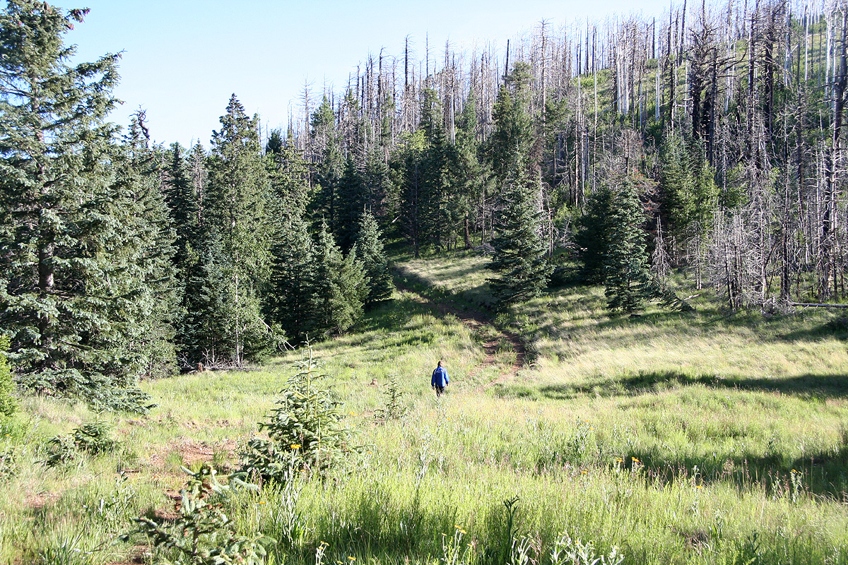
From campsite number 6, descend slightly and cross the small creek. Ascend the slope on the
other side, make sure you do not go too far to your right. This slope is easy among big trees.
Higher up, you will come across an old jeep road that runs pretty horizontally. Follow this
old road to your right until it reaches a very distinct gully. Continue across this gully, then
leave the road and climb the hillside above you, again easy slopes. As you near the top of a small
plateau, head left and intersect a nice forest road jus as it makes a hairpin left curve (when
facing uphill). This location is N32:39.838, W109:51.574, elevation about 2880 meter.
Follow this road as it climbs very gently and pretty much follows the crest of the
mountain. Eventually, you may see one of the observatory buildings on the slope
of a hill further ahead. You will then soon see an old fork on the road. The right fork
has been closed off with some piles of dirt. Take this right fork and follow it until
you are on the very summit. The summit area is full of fallen trees and generally fairly
cumbersome to cross.
Comments:
We stayed in Safford and started out early since we had planned to travel onwards
to New Mexico in the afternoon. Got to the trailhead and started hiking around 0630.
The route as described above, was easy and before we knew it, the summit was a short
way up to the right. We left the road and aimed directly for what looked like the highest
point. However, hundreds of trees had fallen across each other in a big chaos. Soon, we were
climbing across logs, trying to walk along the top of logs etc. At the very end, things improved
and we located the highest point among some (still standing) trees.
We had arrived at 0750, only 1:20 to the top. We stayed for about 20 minutes before returning
to the car at 0935.
This hike is quite nice as the old road runs through meadows
and generally along the main crest.
We saw absolutely nobody. It is also nice that the observatories and their access is well separated
from this route to the summit.
