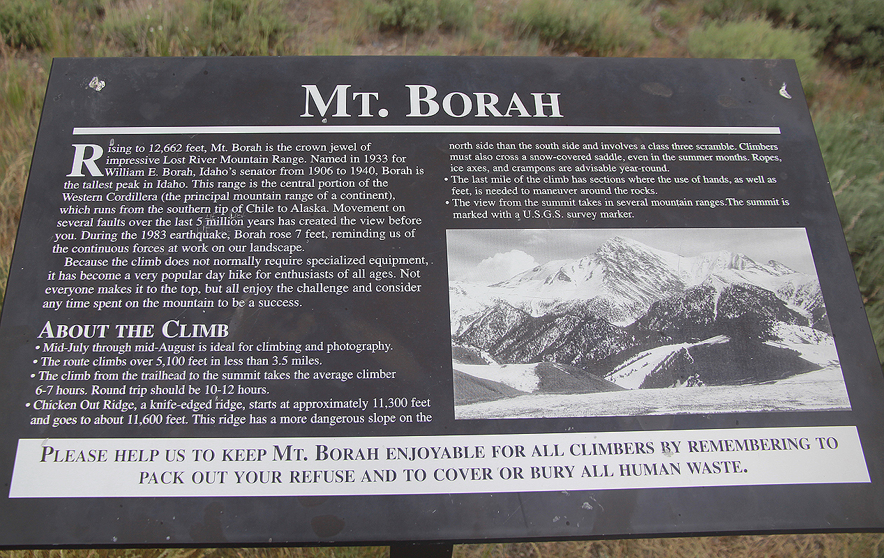
Mount Borah (Borah Peak)
- Mount Borah (Borah Peak)
- 3861 m.
- Primary factor: 1829 m
- Idaho, USA
- Location: North 44:08.242, West 113:46.872 (GPS at the summit)
- Difficulty: (YDS) class 3
- Climbed July 8, 2011.

Mount Borah (Borah Peak)
|
|
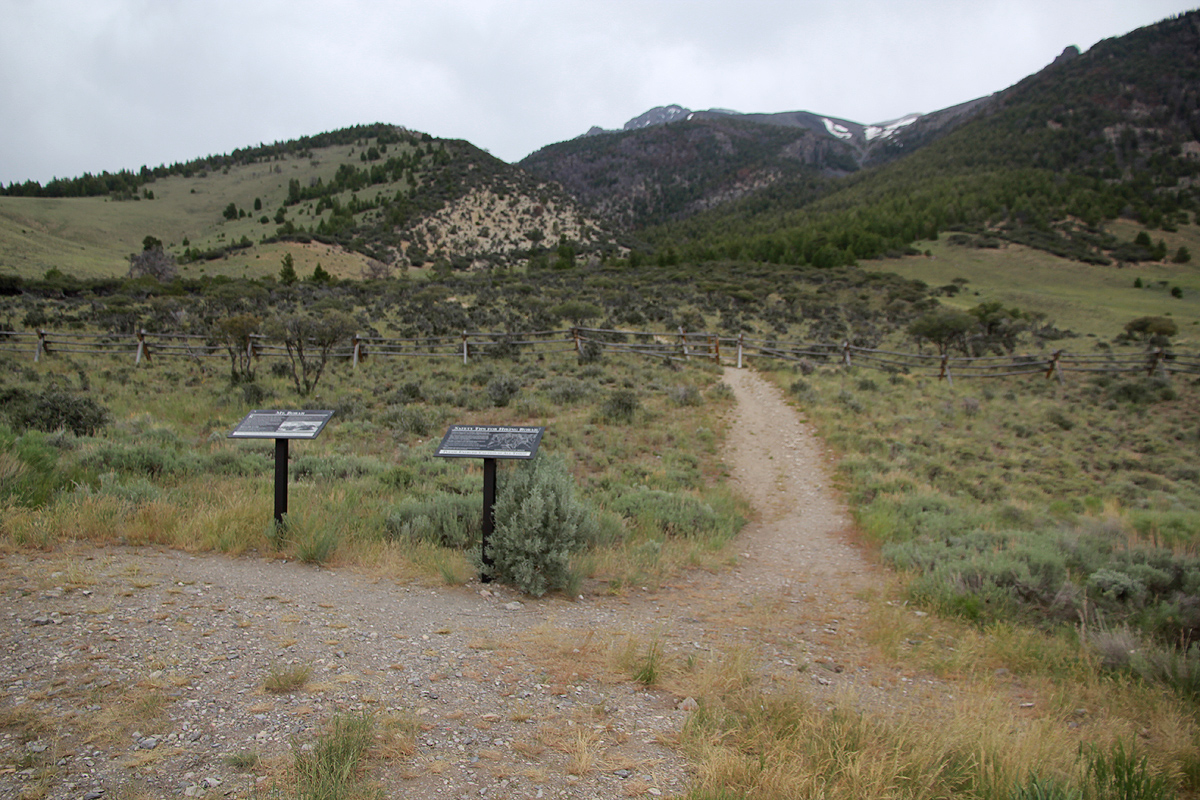
How to get there:
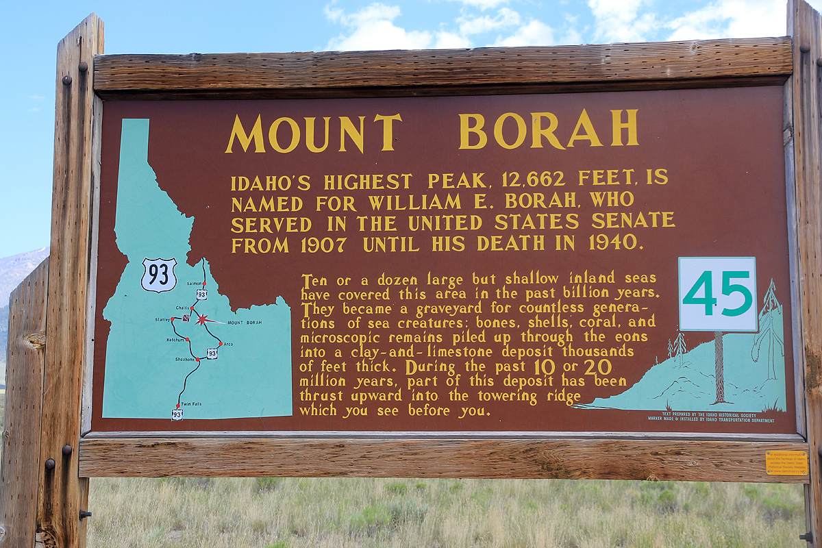
Locate the small villages Mackay and Challis along Hwy. 93, north-west of Idaho Falls.
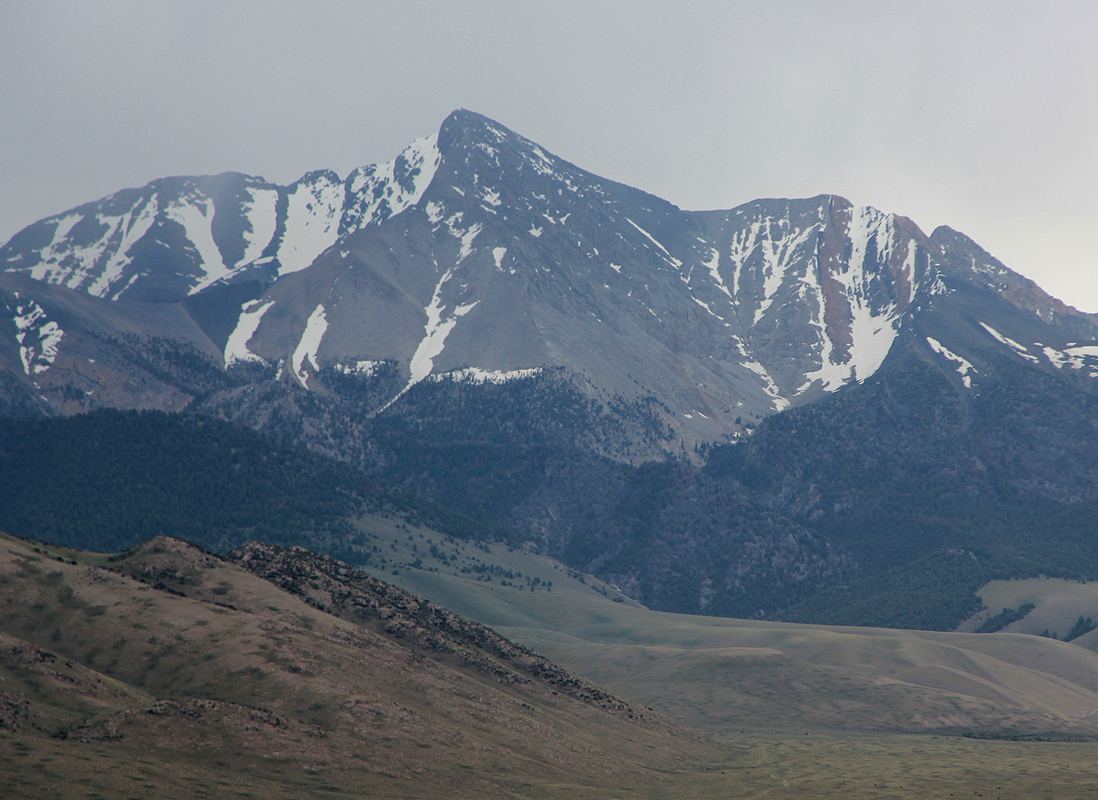
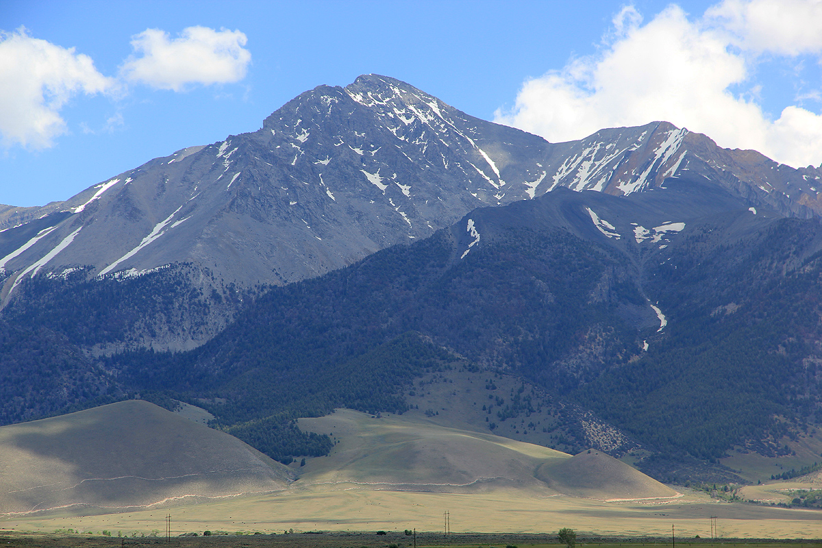
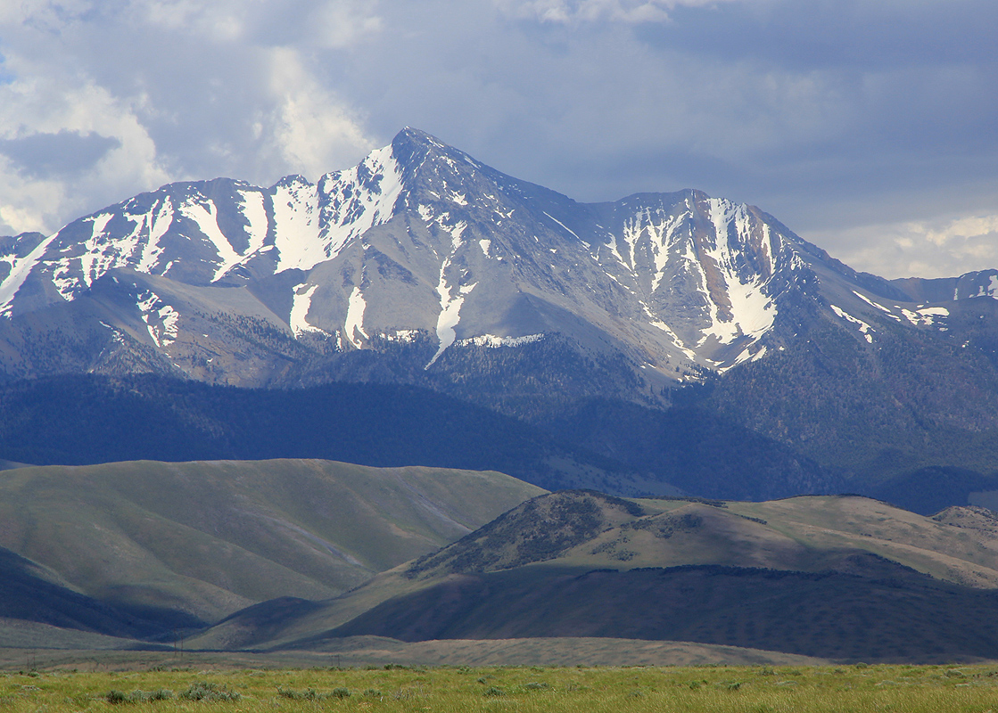
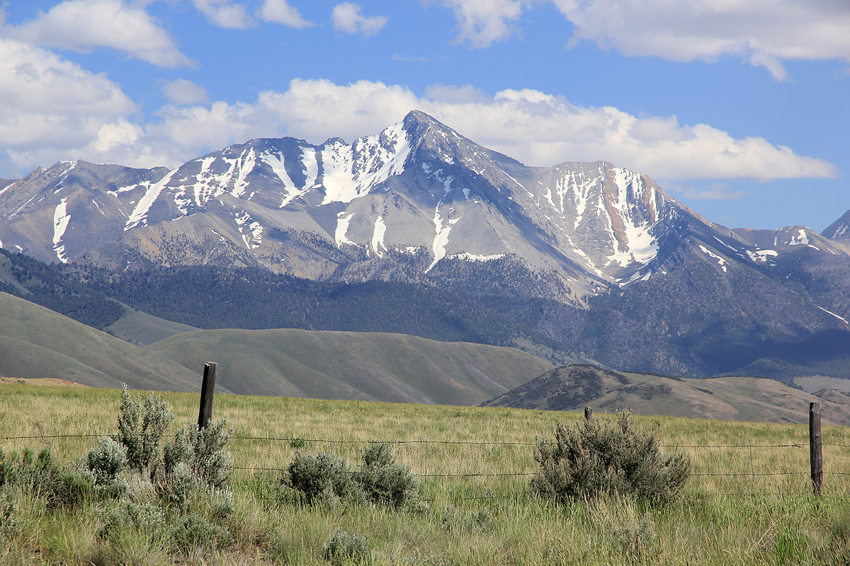
Borah is very prominent as seen from this road.
The road to the trailhead runs east from this road between milepost 129 and 130.
This is approximately 21 miles north of Mackay and 33 miles south of Challis.
There is also a sign saying Borah Peak trailhead. The access road is gravel, but it
is quite fine for ordinary cars. Drive this road 3.3 miles to a
well developed trailhead.
This mountain is often known as Borah Peak. However,
all official signs in Idaho use the
name Mount Borah, hence I use this as the primary name.
Route description:
The trail starts out directly uphill from the trailhead. There are some
information signs where you start. Follow the nice, class 1 trail as it first enters
the local canyon, then climbs left to make a small col just behind the first local
hilltop. From here, the excellent trail climbs more steeply among trees.
The trail climbs a broad slope above treeline that gradually
takes the shape of a ridge
with a steep drop on your left (north) side. You bypass a (small) local top on the right before
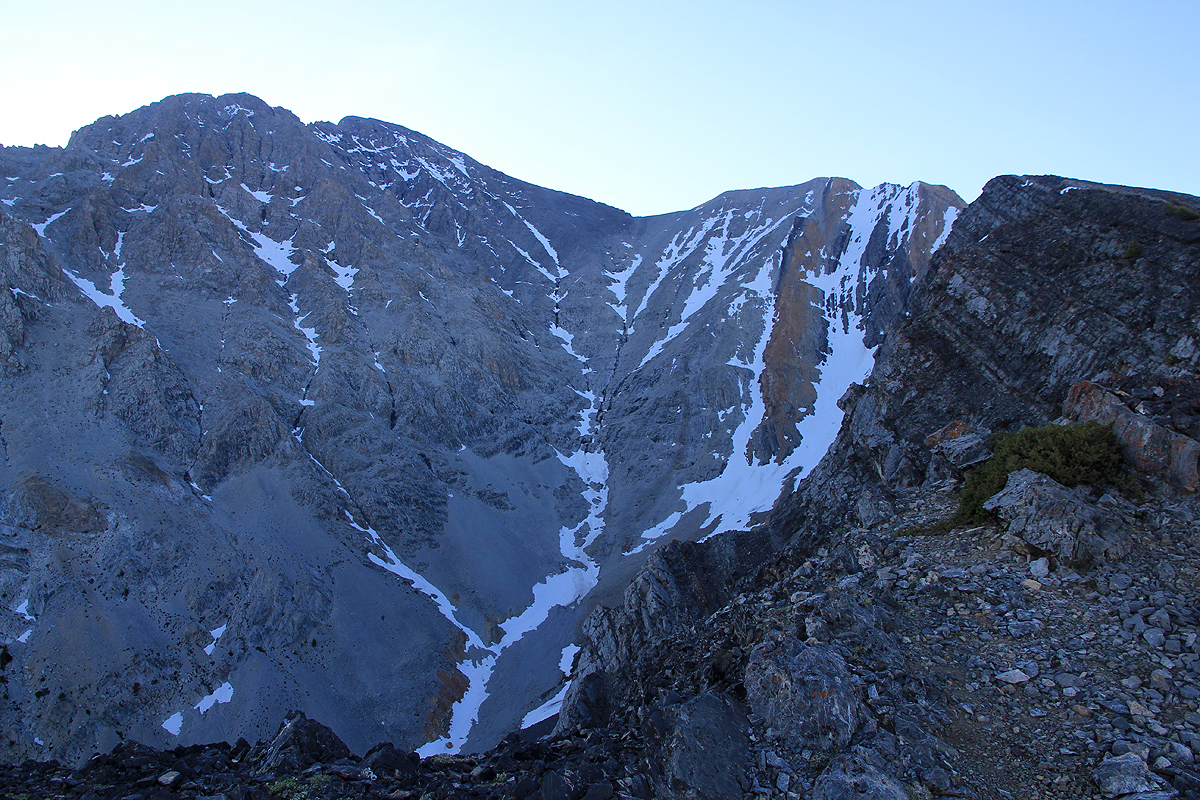
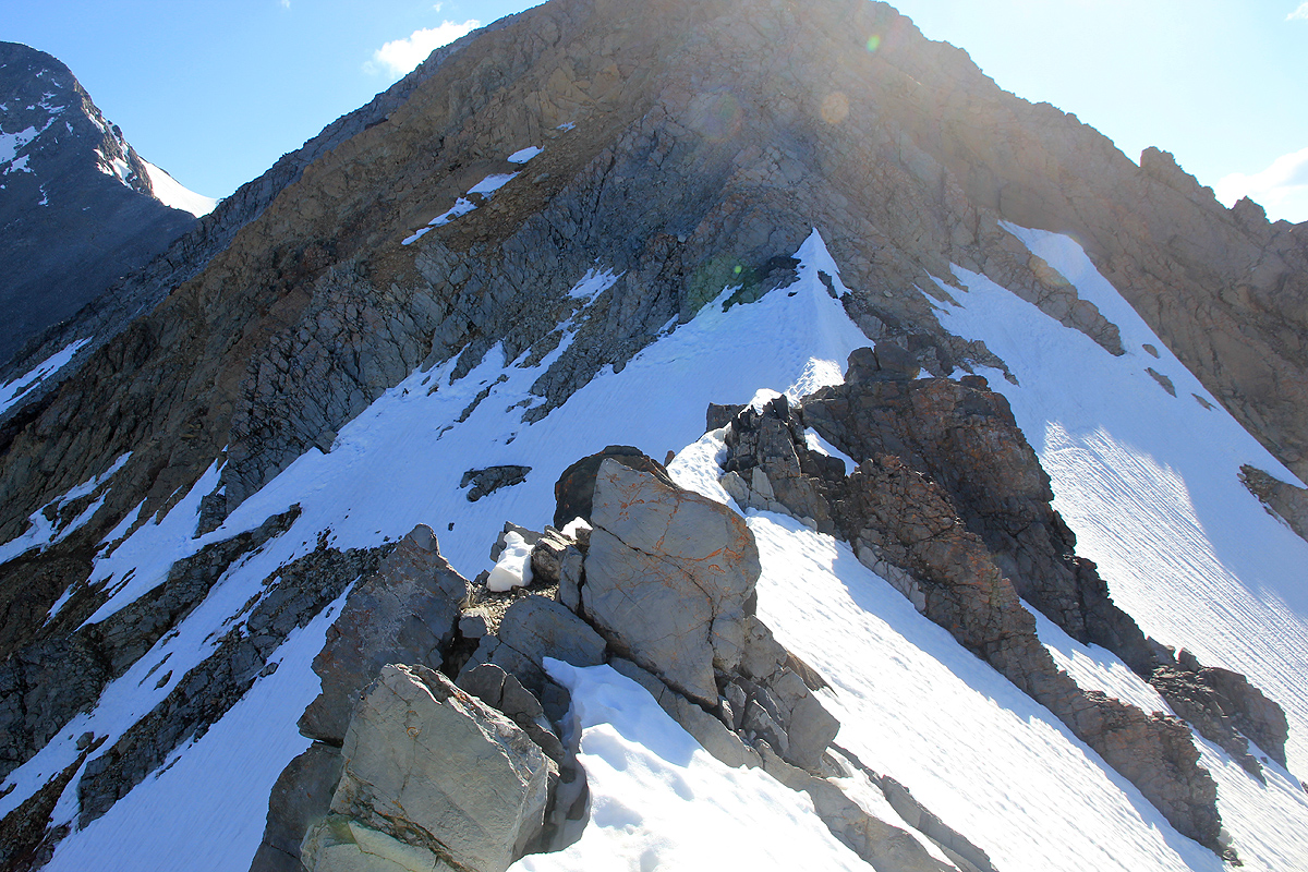
climbing gently to the base of the famous Chicken Out Ridge. This ridge quickly narrows with
significant exposure. The rock is good and the best route is to stay on the very top of
the ridge. This is good class 3 climbing.
Early in the season, there may be
several sections of the ridge that have snow. Later in summer,
it seems that only one such snow ridge remains. An ice axe and crampons may be needed if there
is significant snow.
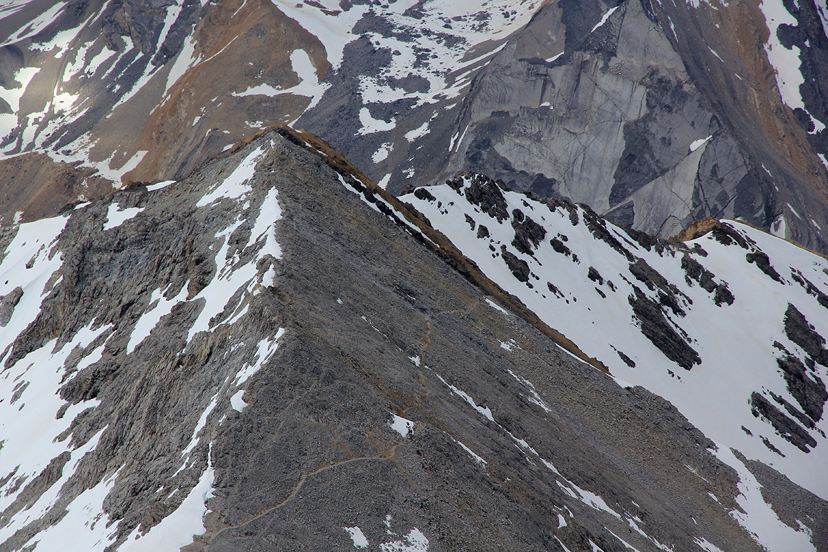
After the last snow, climb somewhat left and ascend the next part of the ridge. Once on top,
this ridge is wide and easy as it descends gently to the last saddle before the
final (long) slope to the summit. There is also a pretty
good bypass trail on your left side,
however, this is not a good route early in the season due to steep snow gullies.
Most climbers trails on the final slope seem to stay well into the face. If you ascend along the
righthand ridgeline, then there is more climbing, mostly class 3, possibly a few harder sections
that, again, may be circumvented by going left.
Comments / Trip report:
We had arrived in Seattle on the 4th of July. Enjoying the hospitality of Loyce and Randy,
we set off on July 6th and drove to Missoula in Montana. The next day, we headed south on Hwy. 93
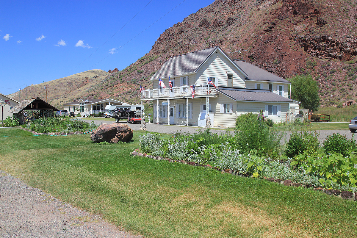
and found a very nice bed and breakfast place.
I woke up early, had a quick (self-serve) breakfast, took along 3 pieces of banana bread for lunch
and drove about 35 minutes to the trailhead,
arriving there shortly after 0500. A man and wife with
a 12 year old son had camped at the trailhead and was just about leaving as I arrived. I left at 0540
and overtook the 3 other hikers fairly soon.
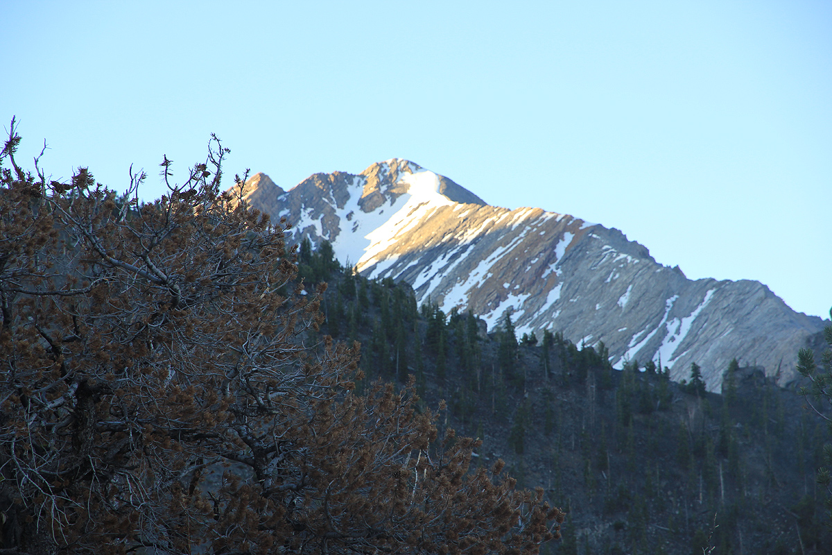
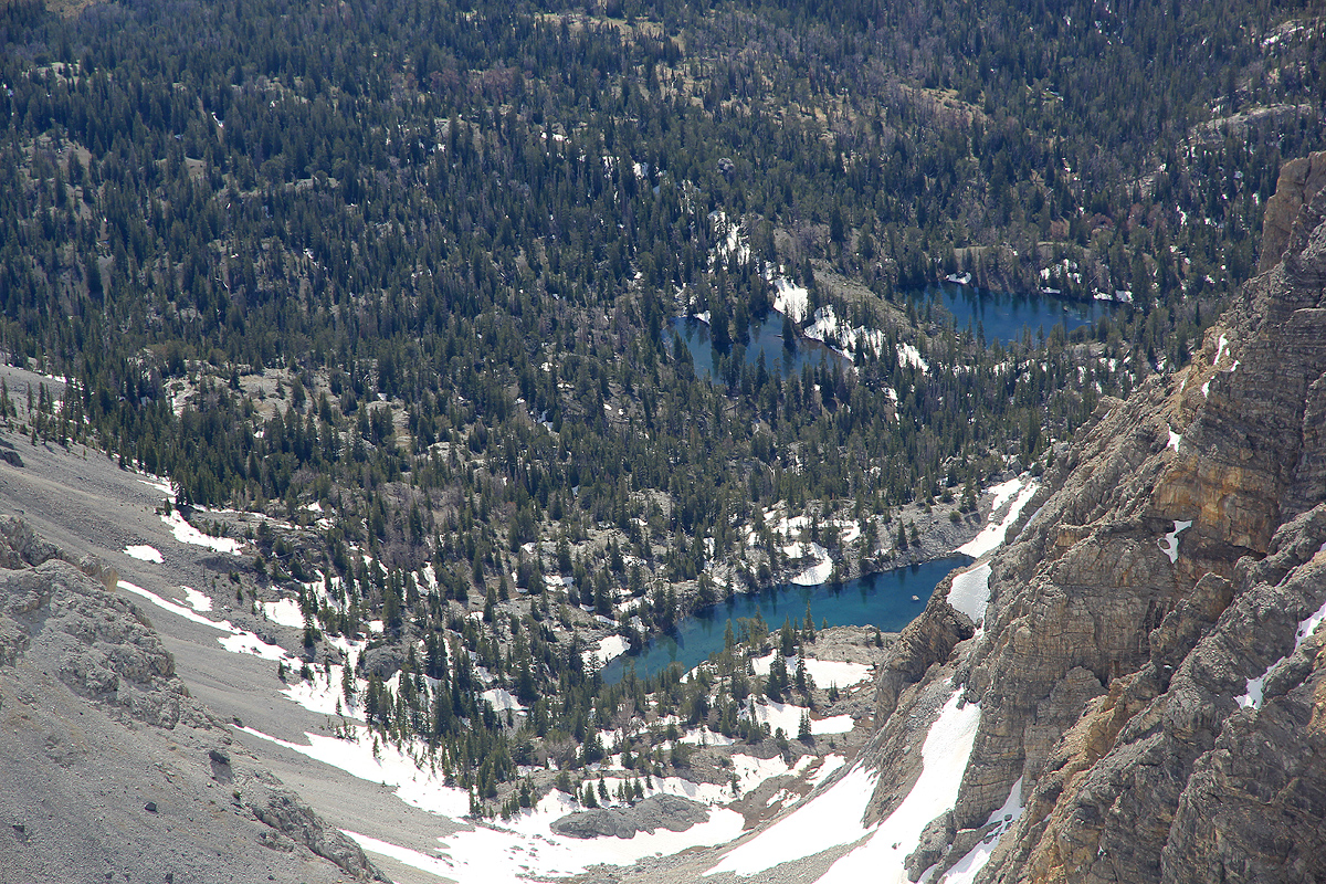
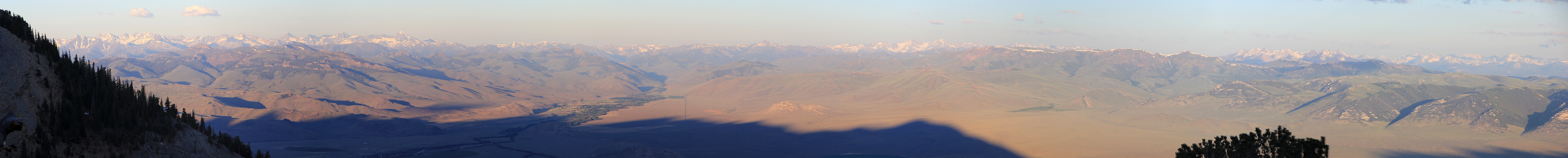
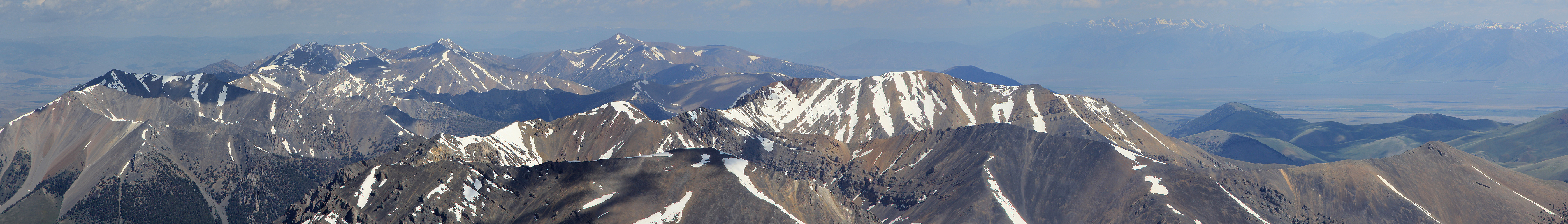
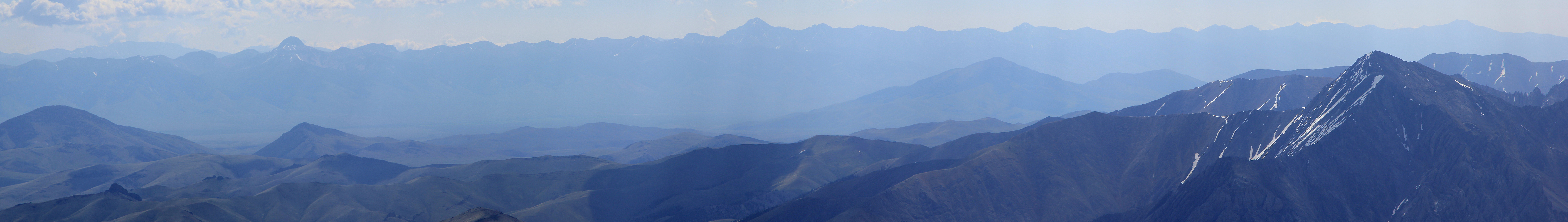
The morning was nice, but this trail would still be
in the shaddow for several hours. I paused at a clearing and took a panorama picture towards the west.
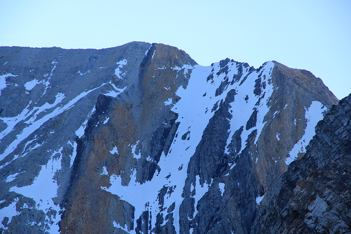
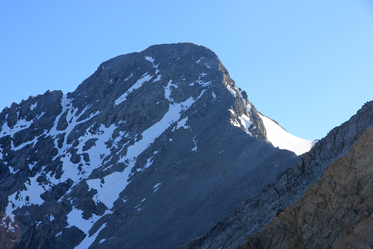
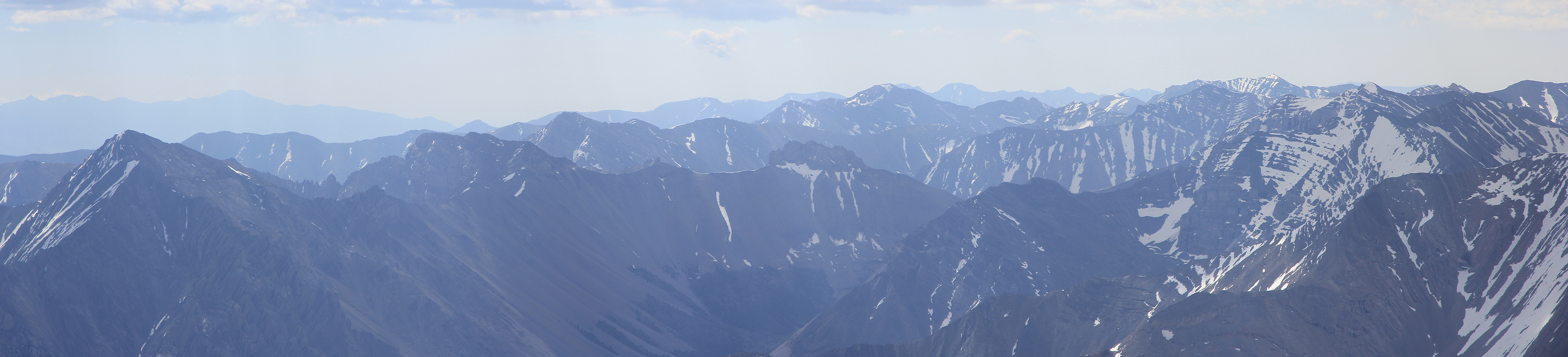
Higher up, I got a good look at the Chicken Out Ridge,
it was clear that there would be snow in several spots.
I was up at the beginning of
Chicken Out Ridge (many people turn around here!) in about 1:30. The ridge
was nice to climb, looking harder than it was. Each time you get your head above the next piece of rock
you see a nice continuation. However, there was some snow across and it was still ice hard. I put on
crampons and crossed the first major stretch. This is definitely a place to exercise utmost care!
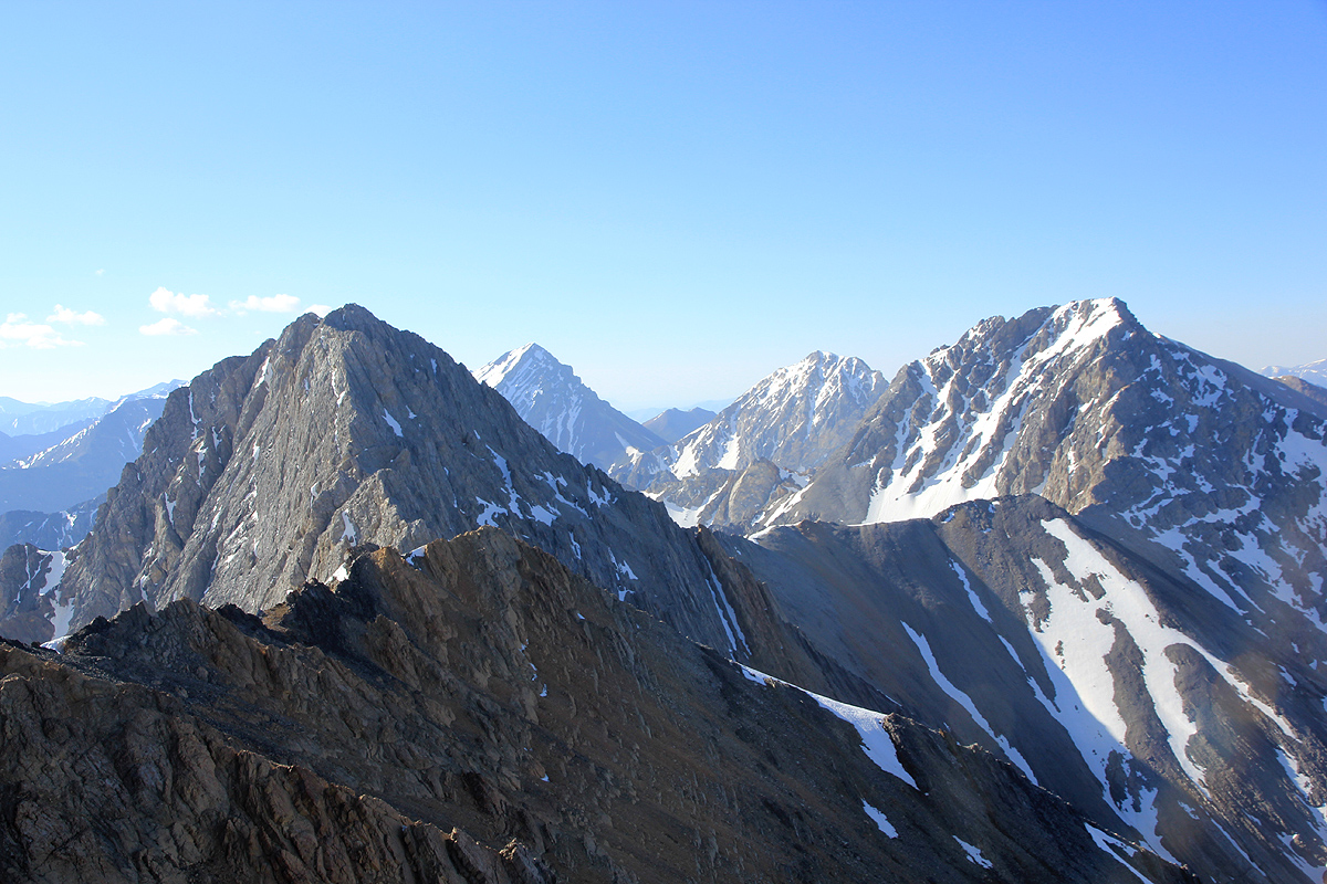
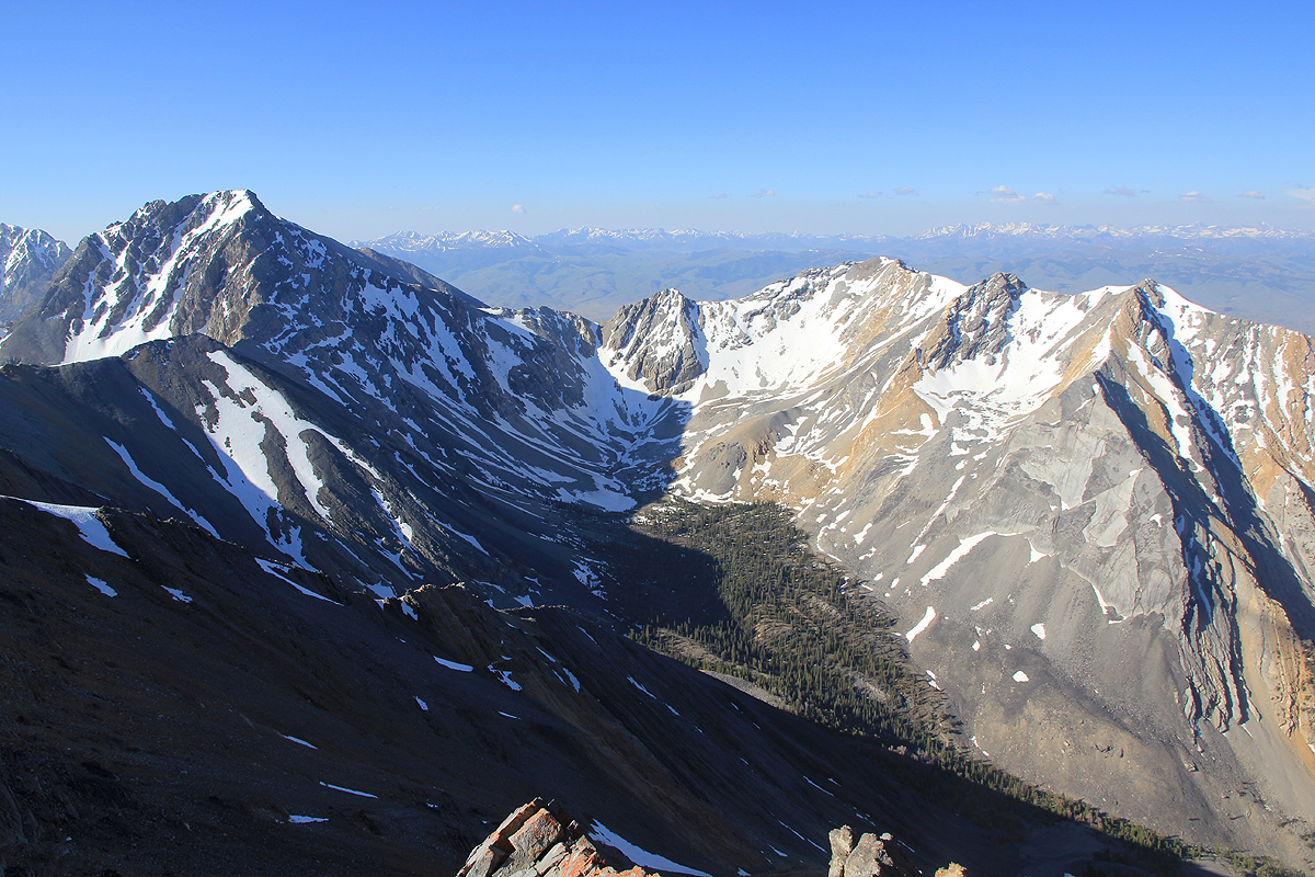
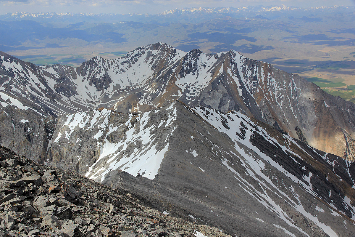
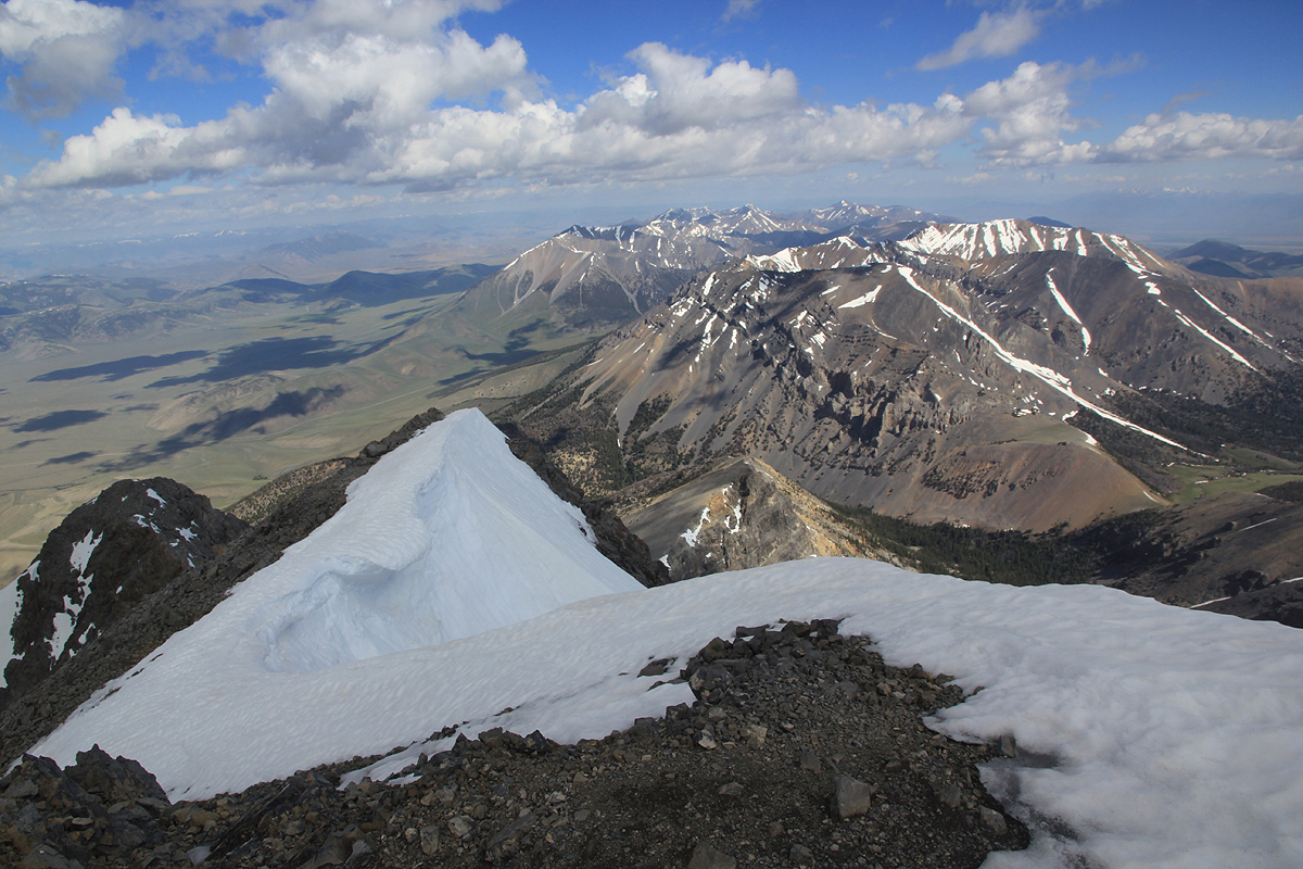
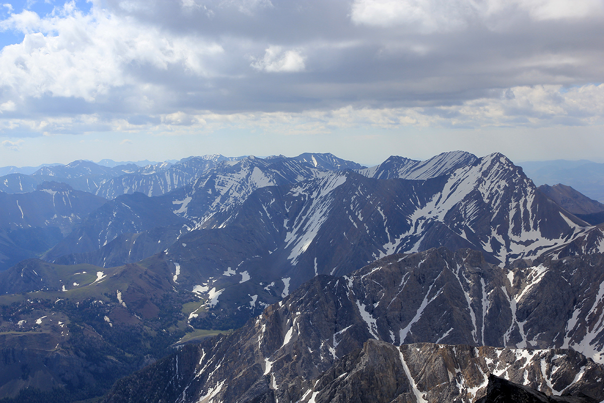
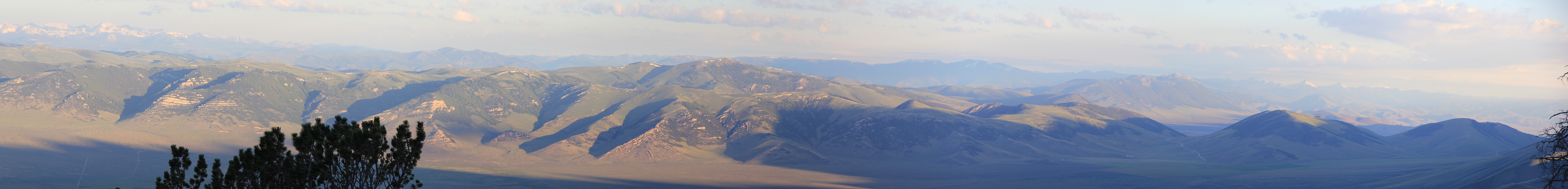
Still, the incredible ridges
and mountain landscape all
around makes this climb rank among the very top, one
easily forgets about potential difficulties and simply must make another stop
to look around.
The second crossing had a tricky beginning, as the snow melts down, this will certainly look and feel
totally different. Similarly, the third crossing which is the one that remain later in the season.
This was the safest and easy one, the down climb was very short and the crossing pretty flat, no
knife edge here.
Due to snow, the continuation of the route was less clear.
It seems like people traverse around left
later in the summer. I climbed more or less directly up and gained the top of the ridge. Easy walking
to the broad saddle before the final slope to the summit. This slope had several nasty looking patches
of ice. I therefore decided to stay near the right hand ridge.
This route had more good rock and interesting
class 3 climbing. I bypassed the more tricky sections by going left.
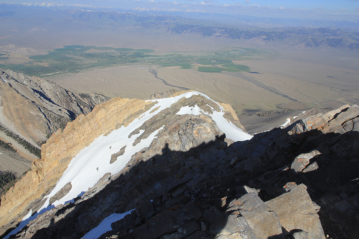
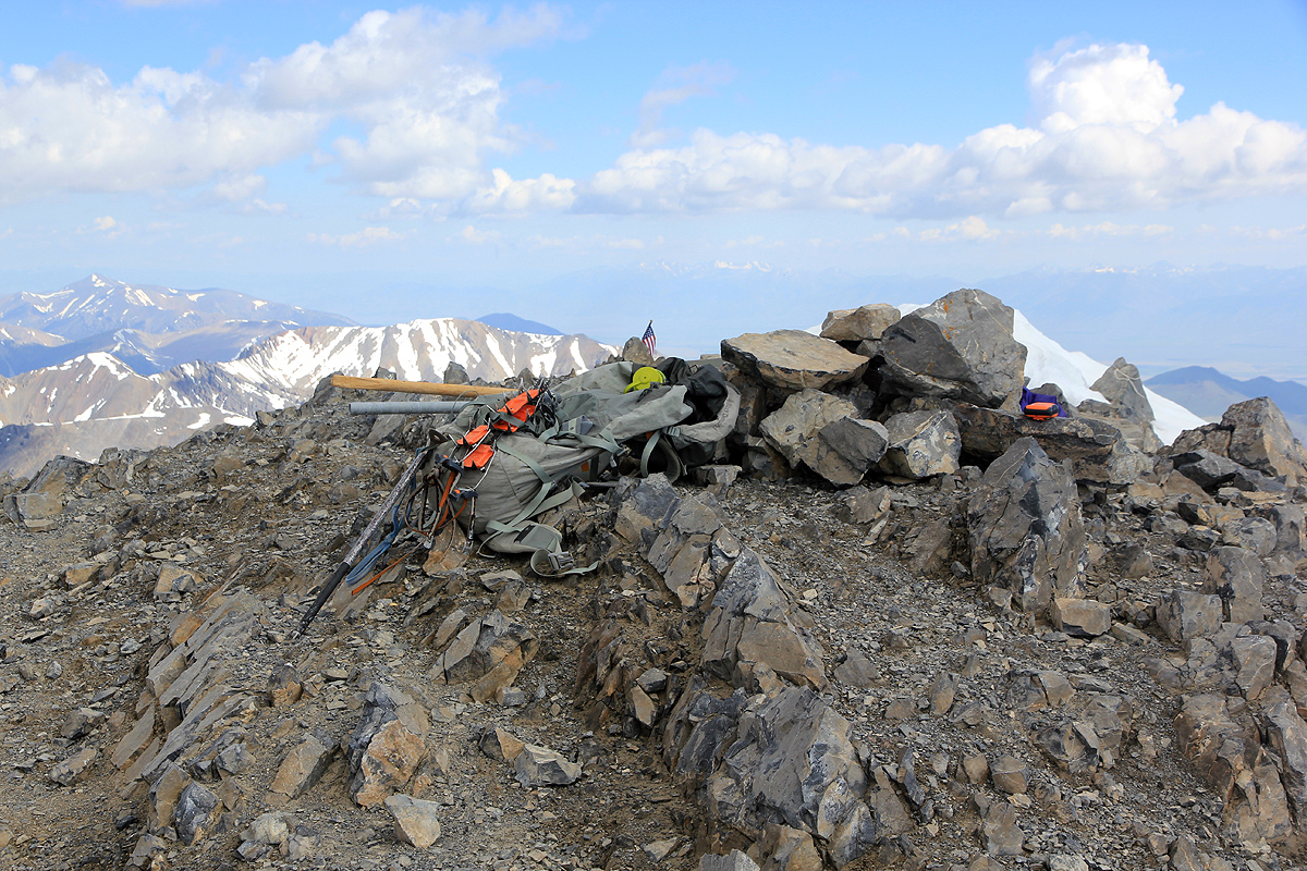
Reaching the summit at 1005,
I signed the register and had my banana
bread. The view was still near perfect,
however, clouds were accumulating and
the wind was gusty. I realized that the weather might
not last and started back down at 1030.
There were several groups on Chicken Out Ridge when I returned. Some groups had decided to turn back, a few
seemed to complete the traverse. The snow was now softer and I crossed back without putting on crampons.
At the lower end of the ridge, I met the family with the 12 year boy. They had obvious trouble
with the exposure. I told them to turn if in doubt and also to watch the time.
Just off the steep part of the ridge and the first thunder boomed near the summit. Several more followed and
I guess most (all?) climbers possibly turned around. A pretty strong shower of hail followed, rapid change
in the weather. I hurried on downhill towards the trees, but before getting there the bad weather ceased
and the sun broke back through the clouds.
Descending, I reached the car at 1310, a total round trip of 7.5 hours.