Location: North 14.46537, West 90.74275 (GPS on the summit)
Difficulty: YDS class 1
Climbed December 15. 2016.
Information:
How to get there:
The town of Antigua (UNESCO world heritage) is a good point of departure. From the south side
of town, locate the road (well signed) to the town of Santa Maria de Jesus.
The drive is about 15 minutes.
This town is right at the base of the mountain on its north-east side. Near
the main square (and the church), there is a small tourist office, at location
N14.49401, W90.70992, elevation about 2070 meter. Locate parking nearby, the
climb starts here.
Note: There have been several incidents of armed robbery of
hikers in the past. It is unclear if this might still be a problem. One used to
get a police escort from the tourist police in Antigua in order to deal with this
problem. As of 2016, practice has changed and the tourist office in Santa Maria de Jesus
takes care of the issue by supplying a combined police/guide service. They charge 20 quetzal
for Guatemala hikers, 40 for other nationalities. To hire a police/guide costs an additional
200 quetzal, hopefully supporting the local community, this is a very low price for
additional safety. Contact this office at least one day in advance to make your booking.
Route description:
From the tourist office, walk down the steps shift slightly left to the first street that heads towards
Agua, walk 2 blocks, then go right in order to continue towards Agua on the parallel street. This streets
ends where the trail begins. The trail is marked with several signs as well as arrows painted on rocks.
Initially going straight towards Agua, but then turning into a long sequence of curves as the slope becomes
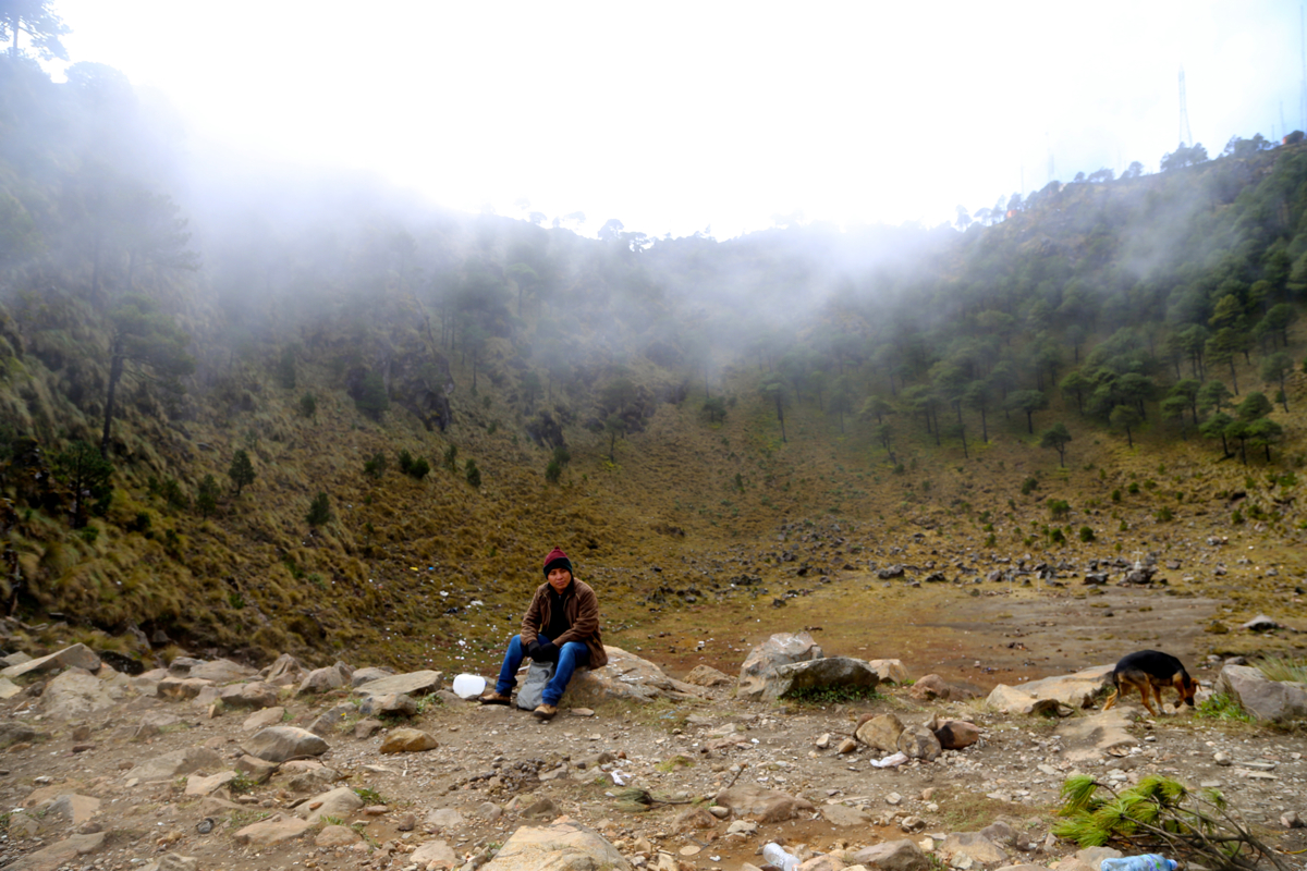
steeper. Mostly, the trail is in a pretty deep
trench, it can be used by mules all the way up to the
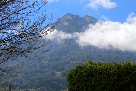
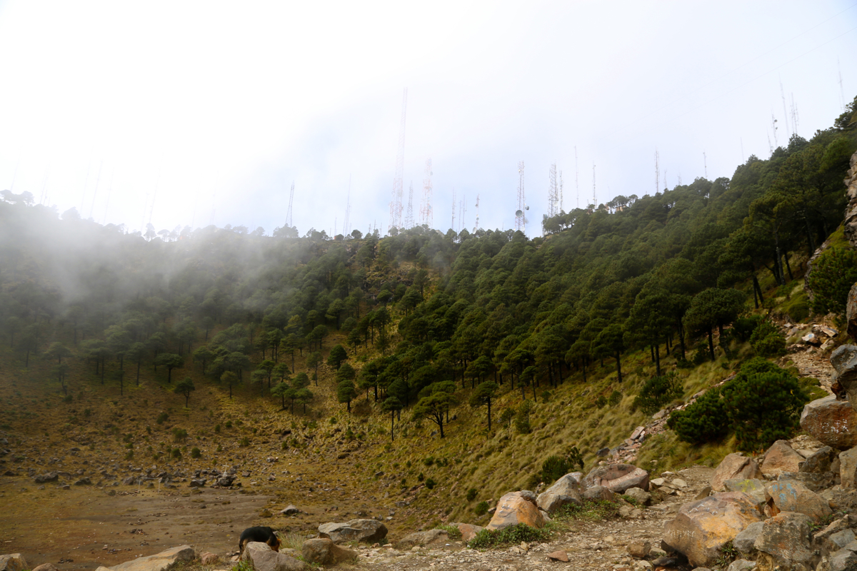
small crater. At elevation 2750 meter, you have a nice view back
down. There is a small look-out tower as well.
This location is at N14.47642, W90.72690, a fast party should be here in roughly one hour of hiking.
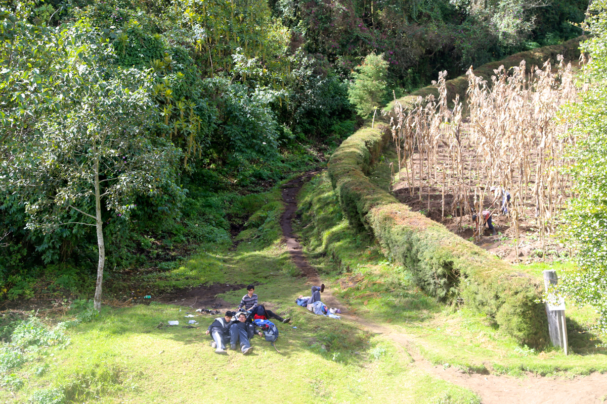
There is another nice place for a short break
at location N14.47337, W90.73579, elevation about 3200 meter,
From here, the very easy to follow trail, continues to curve uphill, eventually reaching the lower section
of the crater rim.
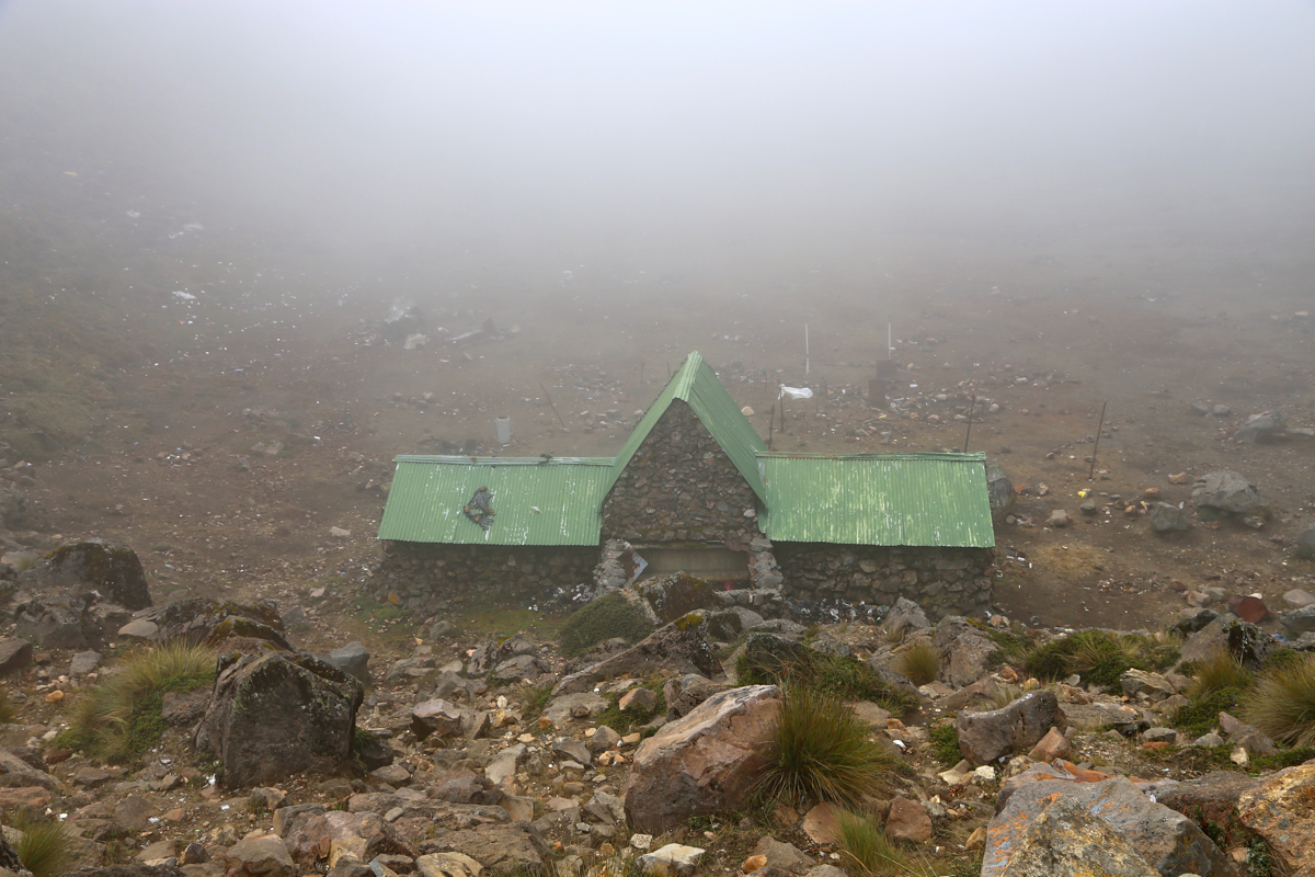
There is a hut located just
below in the crater, while the trail climbs the final
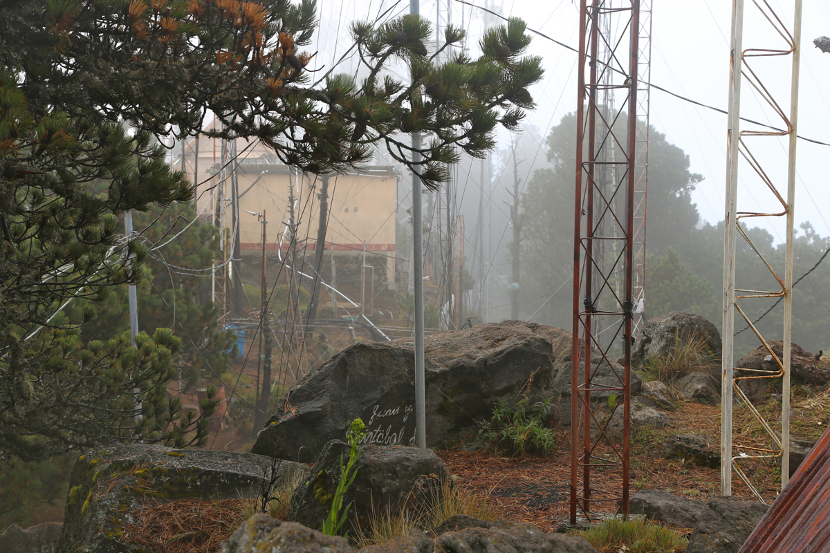
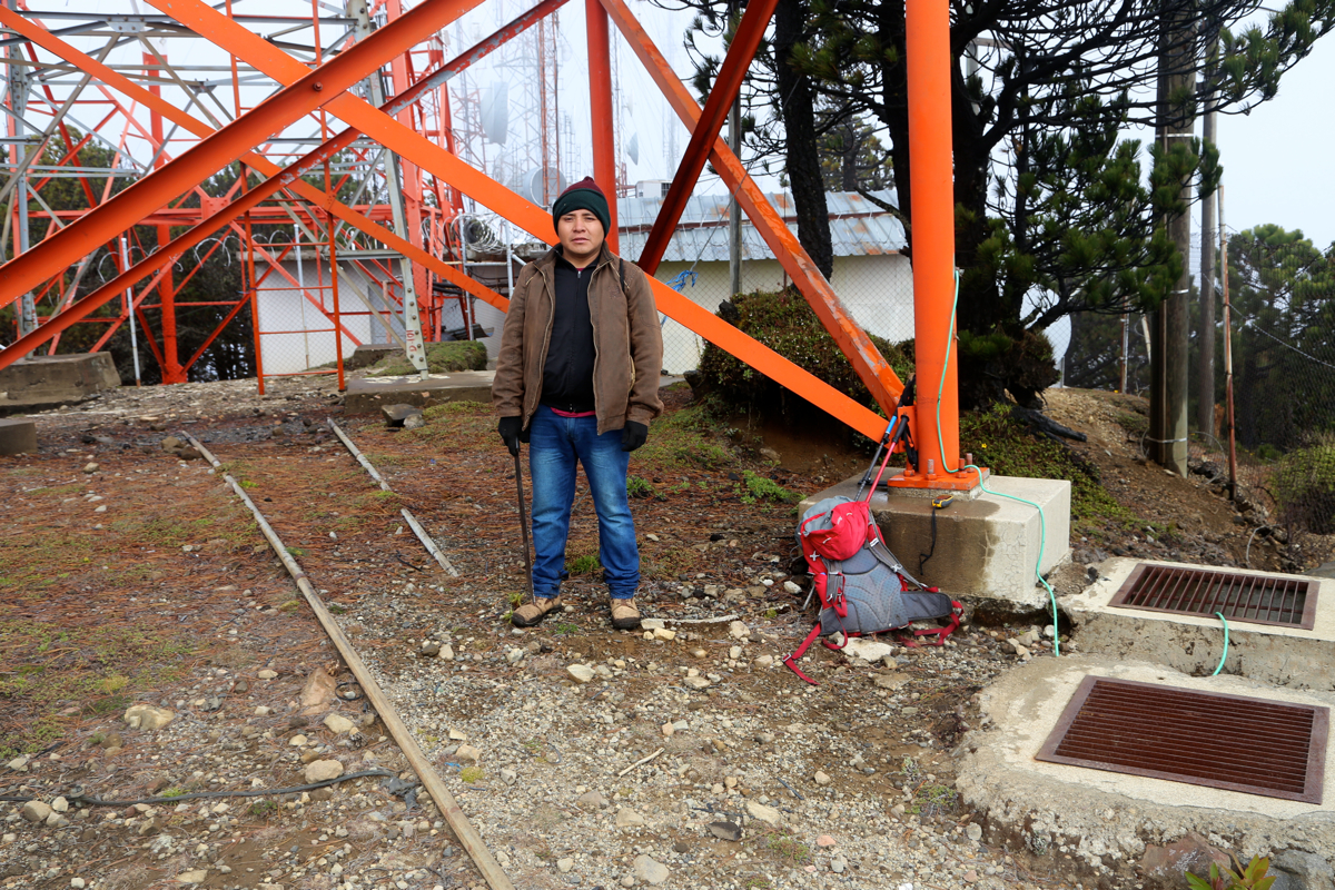
slope among trees, to reach the highest part of the rim. This is all a completely cluttered area with
small huts and a maze of antennas.
In short, one of the least attractive summit areas I have ever seen.
There are some high rocks as you go right
when reaching the rim, but also the area far left just below a
larger mast, may be the highest point.
Comments:
Being the last ultra in Guatemala, I asked my hotel in Antigua to organize the climb
with assstance from the tourist police. The comcierge was not happy about my proposal, he
repeatedly said that they could not recommend hotel guests to do this climb. I had to tell
him, in the end, that he was supposed to help organize what I indeed wanted to do. Calls were
made and it became clear that the Antigua police now had transferred this business to the
local (tourist) office in Santa Maria de Jesus. Overall, I think this is a move in the
proper direction, the local community should take responsibility for their mountain and
hopefully generate some contribution to the economy.
It was all agreed that a combined guide/police would be ready to meet me at 0600 on Thursday
morning.
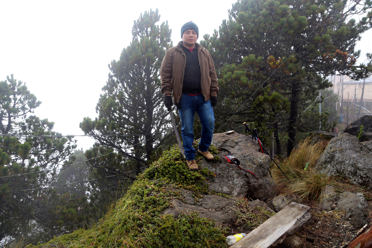
I parked outside the tourist office around 0550 and was immediately greeted by my guide, even
before getting out of my car. We quickly settled the account, 40 quetzals for the permit,
then 200 more for the guide. He was equipped with a typical police radio in his belt, then
carried a huge machete, hopefully this would deter any trouble maker.
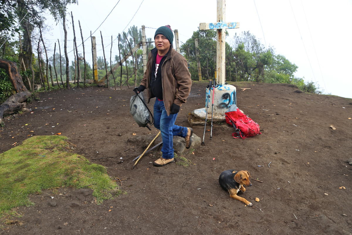
We left at 0600, first up the street, then directly onwards along a well used trail.
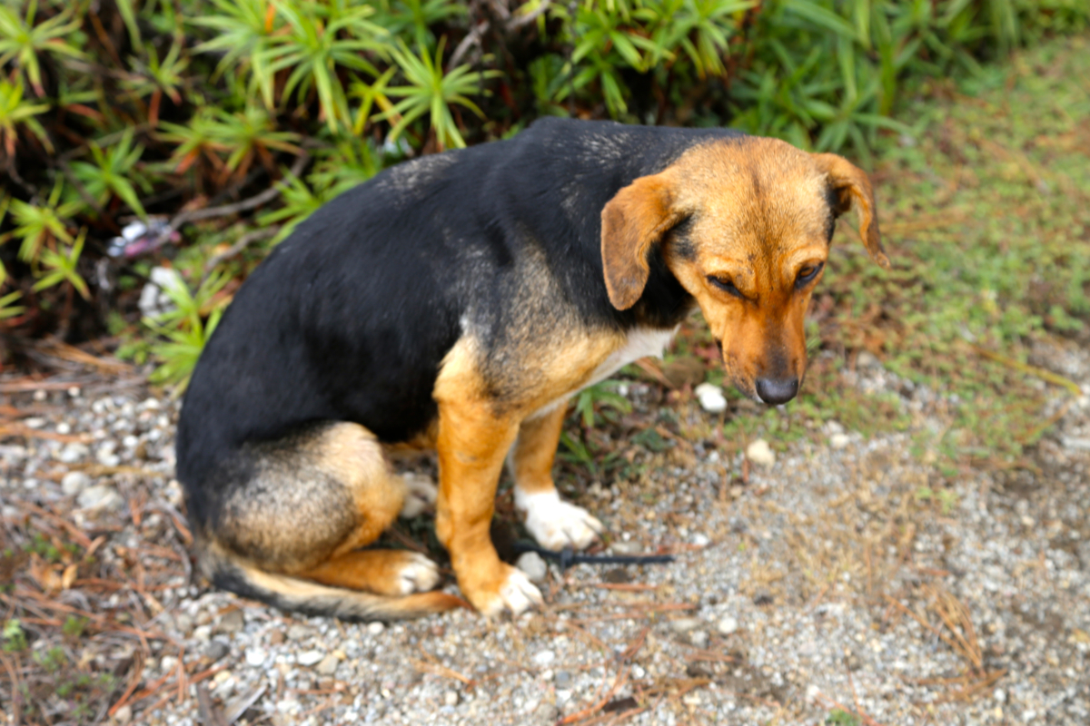
A local dog decided to get a walk and followed along.
Higher up, the trail started zig-zaging, in order to keep the slope reasonable.
My guide set a pace that was quite fast, I guess he checked to see that I followed
without slipping behind. We reached the small look-out tower around 0700, a short rest
and some water to drink was welcome.
We made a second brief stop near 3200 meter, then
continued to the crater, arriving there at 0900.
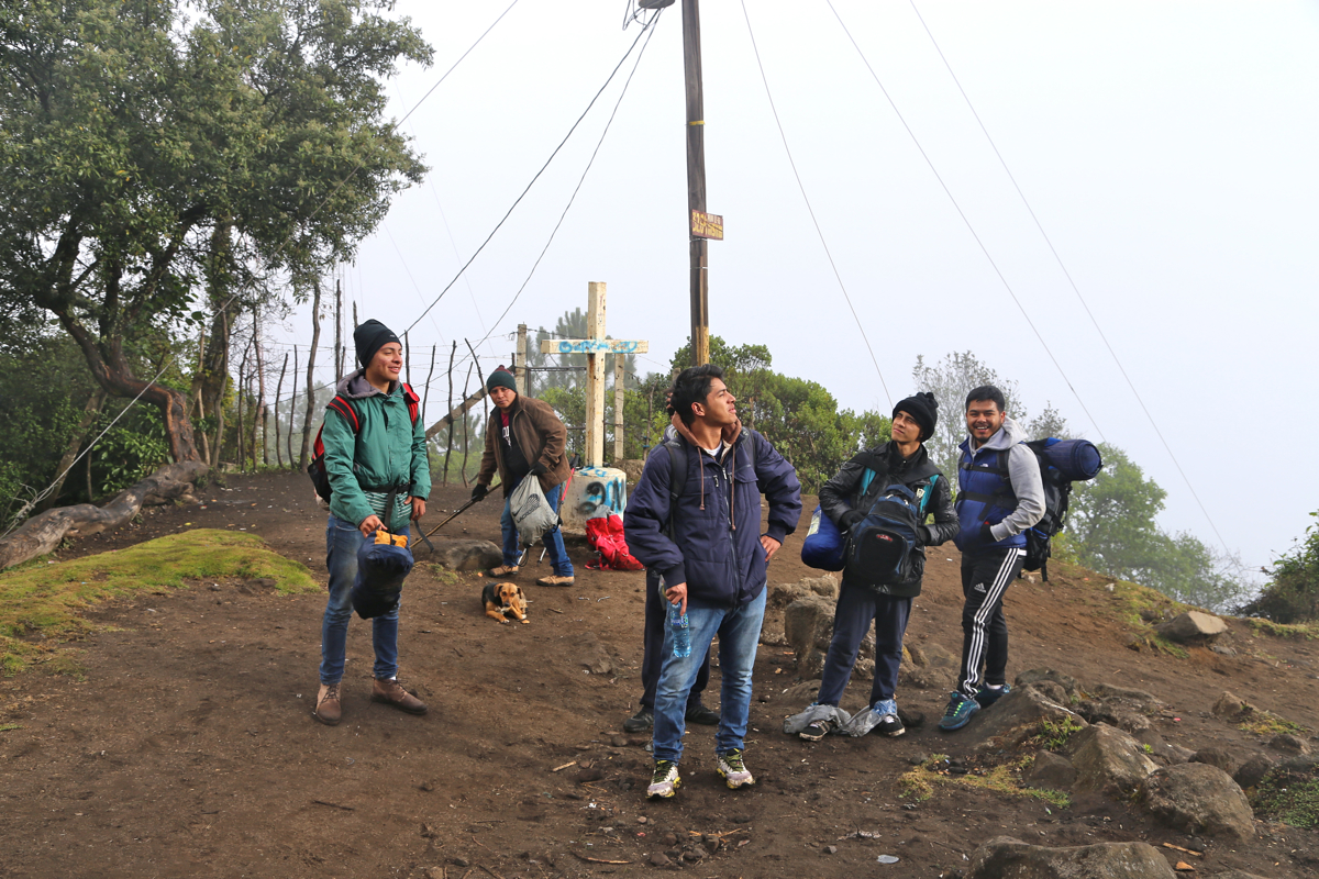
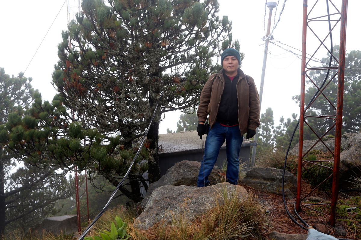
We continued up the last hill and were on top at 0915. What a complete mess up here! Smaller
and larger antennas, small huts and wires strung out to support the various structures. I think
this may be the ugliest summit I ever saw. We first explored right,
locating first one rock, later
a second point, that might me slightly higher. Next we went about 140 meter to the opposite end
of this high ridge and located the highest area over there. All pretty similar and with too
many constructions obscuring the views across.
Our dog was patiently waiting.
The weather was breezy and pretty cold with fog. I got cold hands for the first time
in Guatemala. This was also the first time I put on my fleece that had been carried around
on all the ultra tops. Leaving at 0950, we headed back down. We met around 6-8 mules
coming up the trail, all loaded with cargo. Soon, we were down by the look-out tower where
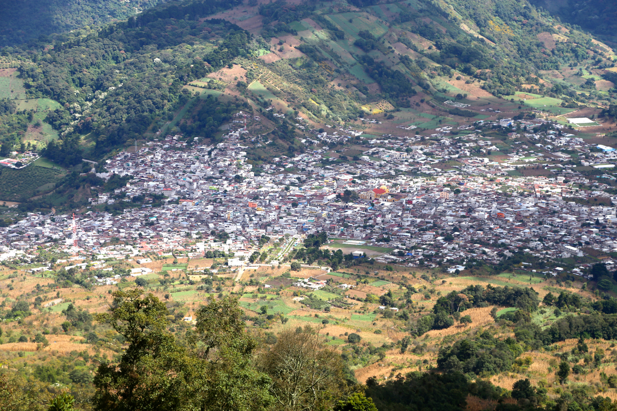
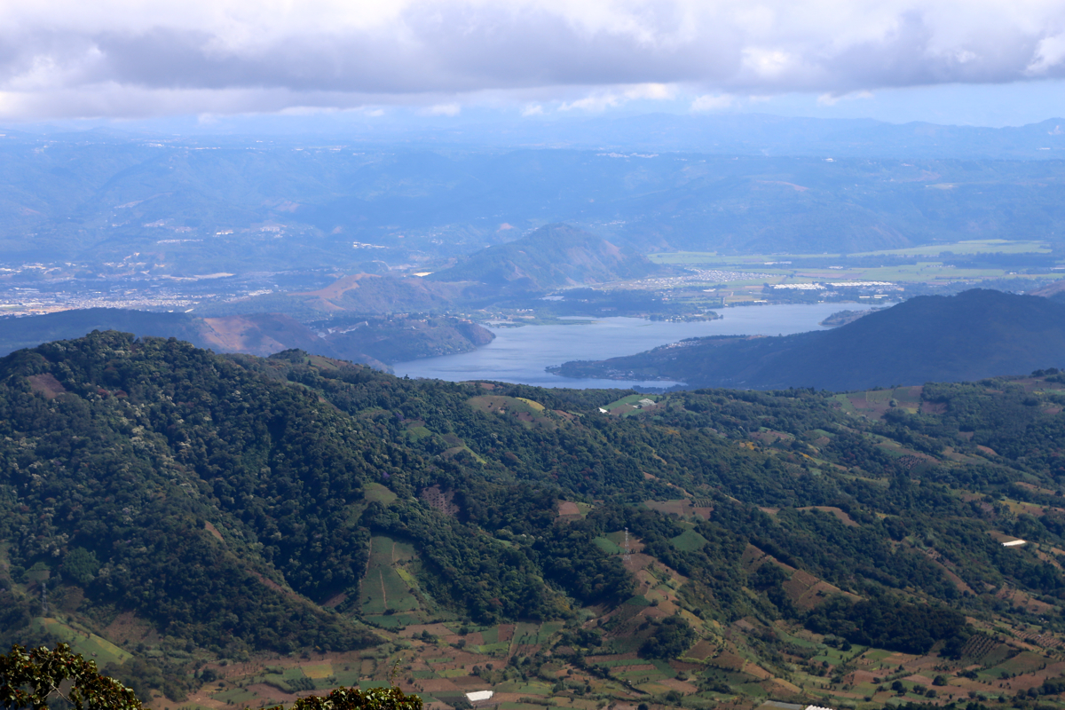
a break was called for. It was again warm and sunny. A good view from here down to
Santa Marta de Jesus as well
as across further east to Lago de Amatitlán.
We subsequently continued downhill and were back at the tourist office by 1200.
Thus, I was back at the hotel well before lunch, a nice way to conlude the
ascents of the ultra prominent mountains of Guatemala.