Location: North 41.76728, East 023.39895 (GPS on the summit)
Difficulty: YDS class 1
Climbed July 4. 2013
Information:
How to get there:
The point of reference is Bansko, the biggest ski resort in Bulgaria.
The drive from Sofia to Bansko is quite reasonable, mostly following E-79.
From Bansko, follow the main road uphill (just left of a gondola lift), this road
is quite winding as it gains elevation through the forest. Higher up, near some
parking areas, keep right (follow signs for Vihren). The road narrows, but keeps going
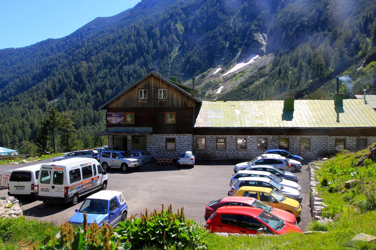
until you arrive at the Vihren hut, a mountain hut at the end of the road. This is
the trailhead, location N41.75681, E023.41614, elevation about 1980 m.
Route description:
This route is well marked, look at the signs just above the parking. There are several trail,
the Vihren trail goes right, then climbs more or less directly towards the peak.
Higher up there is asigned trail fork. The sign for Vihren is left (uphill), however, one
may also go right here and still climb Vihren. The trail continues uphill until it gains
the crest.
The final, slightly steeper hill finishes
this route. The trail is well marked and zig-zags
up the slope without any difficulties.
Comments:
Vihren was planned for a later day, however Heidi and I
went up to Vihren hut exploring.
Since it was such a short hike, it was hard to resist. Heidi hiked into the valley
and up to some nice mountain lakes, while I set off for the summit.
Starting at 1100, I was at the summit by 1230.
A few people up there,
I had not seen many on the trail.
I stayed 20 minutes until 1250, then descended back down to the Vihren hut by 1400.
The remaining part of the day by the pool at our nice Kempinski hotel in Bansko.
Resources:
Images
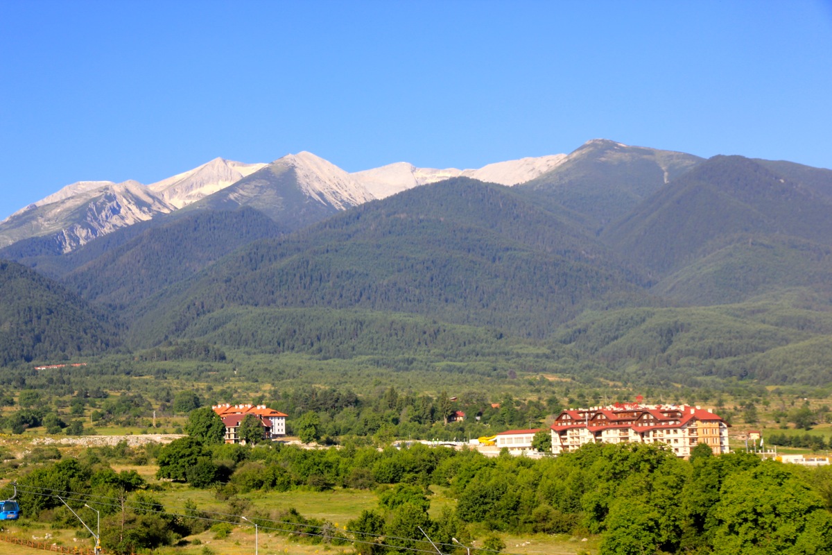
Vihren as seen from our hotel in Bansko. The summit is left of the snow.
