Upper Saddle Mountain
- Upper Saddle Mountain
- 2330 m
- Primary factor 1645 m
- British Columbia, Canada.
- Location: North 50.17245, West 117.90009 (GPS on the summit.)
- Difficulty: YDS class 2
- Climbed August 17. 2018
Upper Saddle Mountain
|
|
How to get there:
Locate Nakusp on Hwy. 6 (About 143 kilometer north-west of Kimberley.)
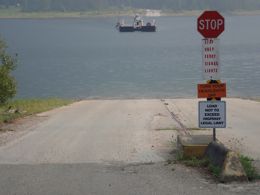
Drive south along the lake and
take the Arrow Park Ferry. This is a small ferry
that runs when it is needed, except 1200-1400, when it is lunch time. When arriving
on the other side, there are two choices. You may turn right and find the dirt road that
climbs to the trailhead of Saddle Mountain. This peak has a historical fire lookout
and is a popular destination for hikers.
The route from here to Upper Saddle Mountain is described in several trip reports on
Peakbagger.
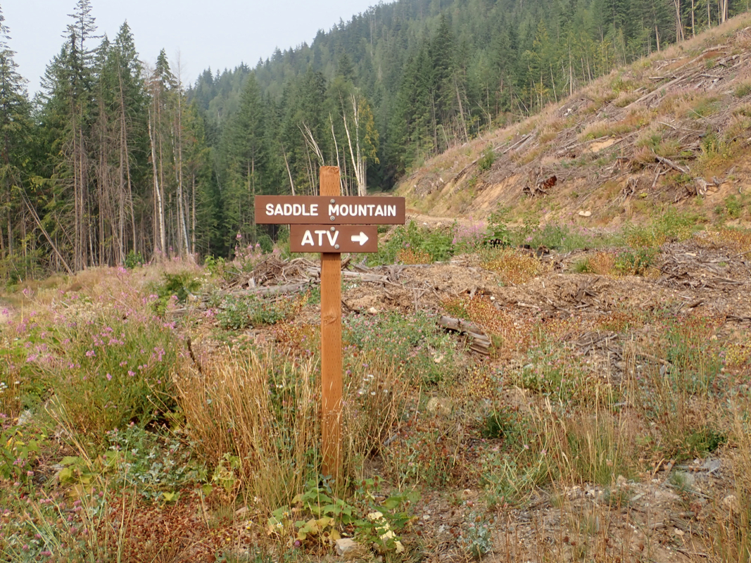
Alternatively, turn left and follow the dirt road approximately 3 kilometer to location
N50.11547, W117.92947, elevation about 510 meter. Take the right fork here and continue
several more kilometer (about 7 km) to location N50.16782, W117.96951, elevation about
565 meter.
Here one should again take the right fork. This road is
sisgned with "ATV Saddle Mountain".
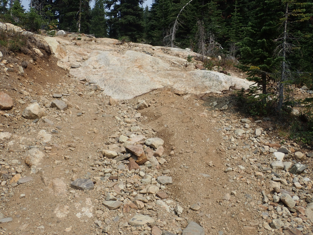
Depending on your vehicle (4WD assumed), this road may be driven to a suitable place
for parking between 1200 and 1300 meter of elevation. The road starts a series of steep
switchbacks around 1300 meter (near N50.16032, W117.92867).
A ruggedized Jeep could possibly
drive all the way to the
mountain crest, but most drivers/cars would prefer to park before this.
Route description:
Continue on foot along the road from where you parked.
The road climbs in many switchbacks, continue
to follow it all the way to the main crest of the mountain.
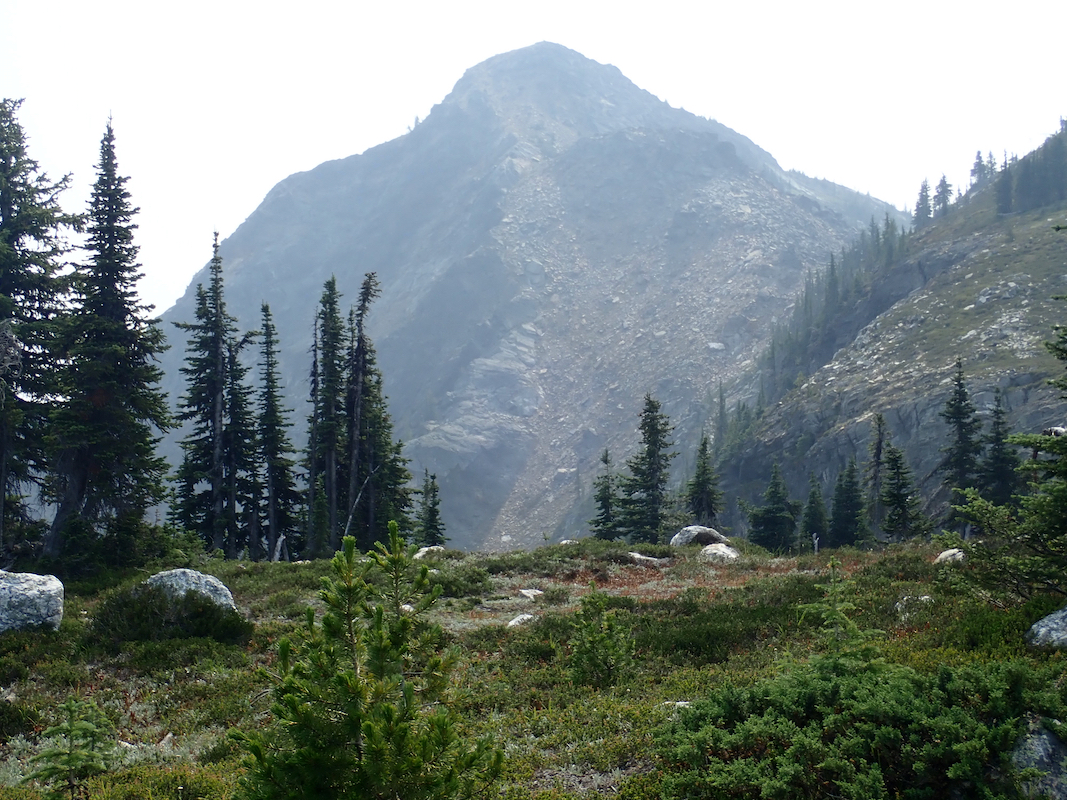
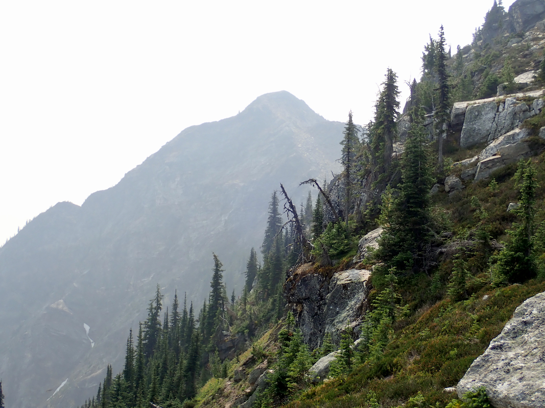
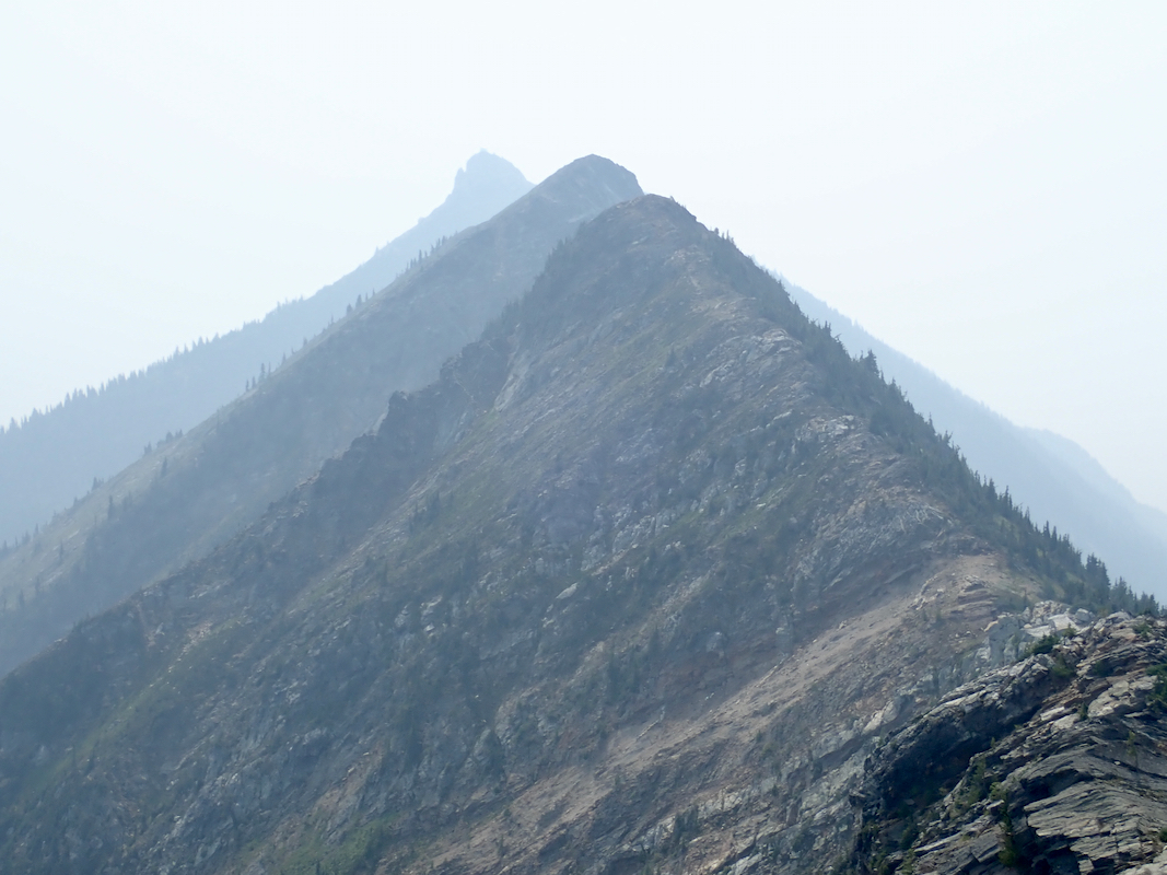
The summit of Upper Saddle will come into view.
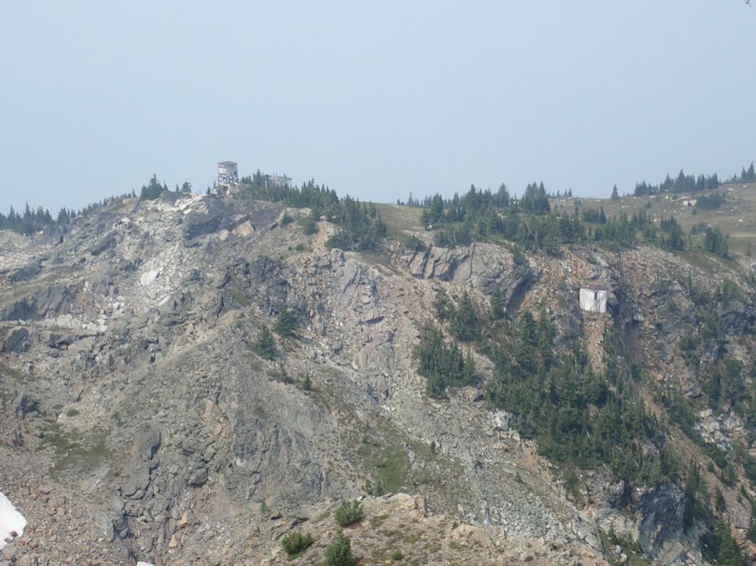
From here, the road can be followed across
to an area with some (old) fire-lookout buildings.
From this local hilltop one can clearly see how
to proceed. Continue to the base of the mountain, contour right and make an ascending arc to reach the
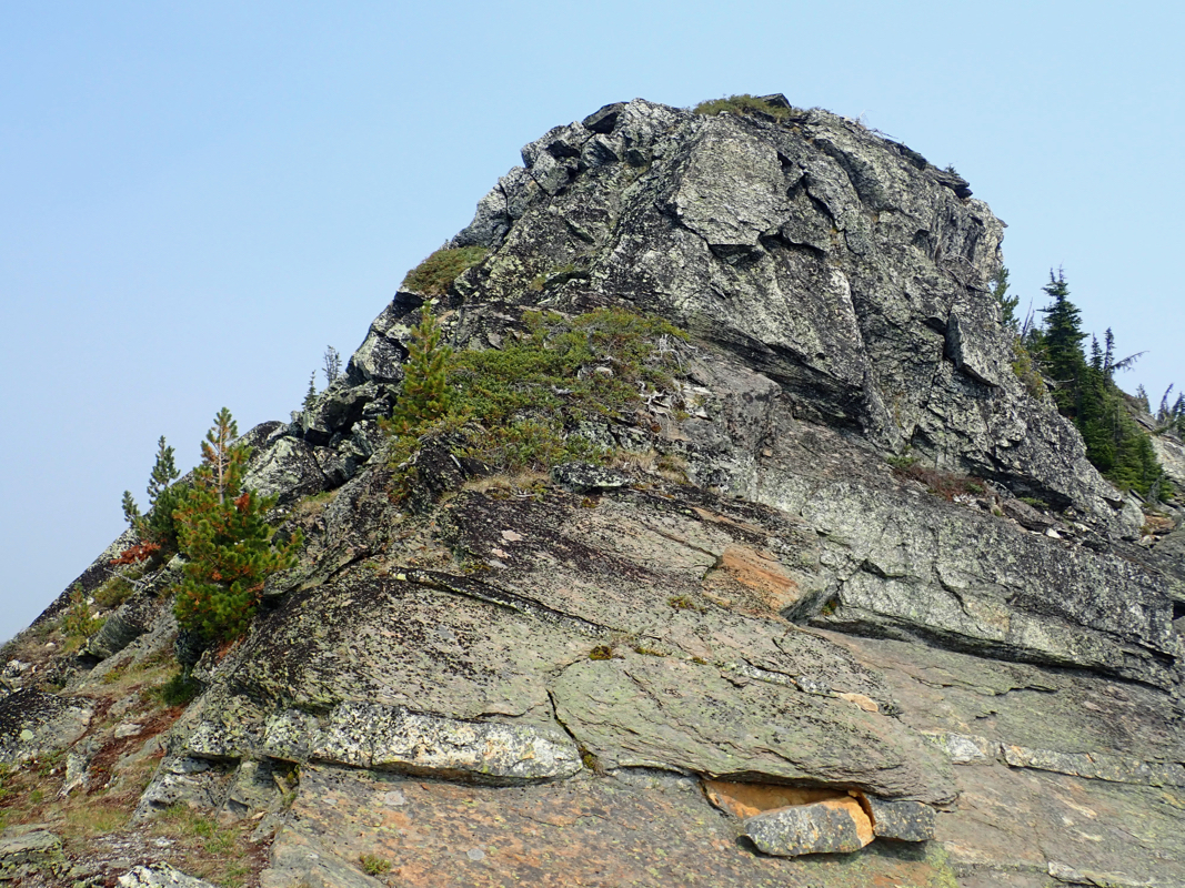
main ridge without ever walking into steeper terrain. Finally, follow the ridge (left) to the summit,
you will encounter some very easy scrambling shortly before the summit.
Comments:
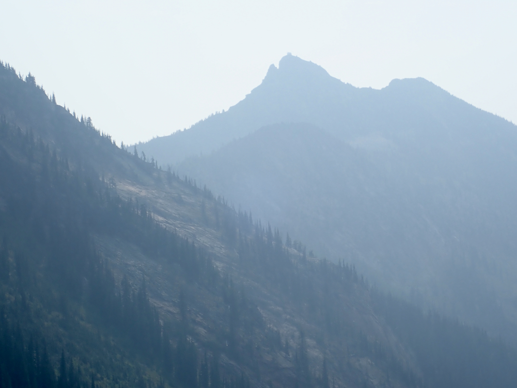
After a nice day hike to the summit of Cond Peak, our next target was
Upper Saddle Mountain. I had read several trip reports, they all used
the route pioneered by Edward Earl, involving some steepish scramble
in order to follow the ridge crest from the fire-lookout area to the
highest point along this ridge.
There were, however, indications that an algternative route might
exist. A careful examination of maps and satelite pictures revealed
some sort of road serving the main crest slightly beyond the summit
of Upper Saddle Mountain. It was just too tempting to try exploring
this.
Thus, we drove along the roads described earlier and located the fork
where a small forest road signed for "ATV" (All Terrain Vehicles)
forked right. This road was certainly also OK for a 4WD car, at least
the initial section. We drove to a spot just below 1000 meter of elevation
and parked there. The decision to stop was mainly influenced by finding
a nice spot to turn around and park. The road continued with roughly
the same quality, considerably longer. We were within hiking distance,
this was more important than checking out precisely how far we
could drive.
Leaving the car at 0920, we could soon
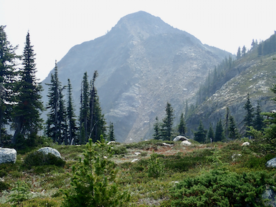
see the steep hill towering above us.
The road finally started
more steeply uphill with switch-back turns near
elevation 1300 meter. Pretty long, but an easy walk, we were happy when
we reached the main crest and discovered that the road served some old
fire-lookout structures near the top of a local hill. From here, it was also
easy to spot a good route that would lead all the way to the high ridge
connecting to the summit. The previously known (and described) route came
along this ridge, so we knew we had a good route all the way.
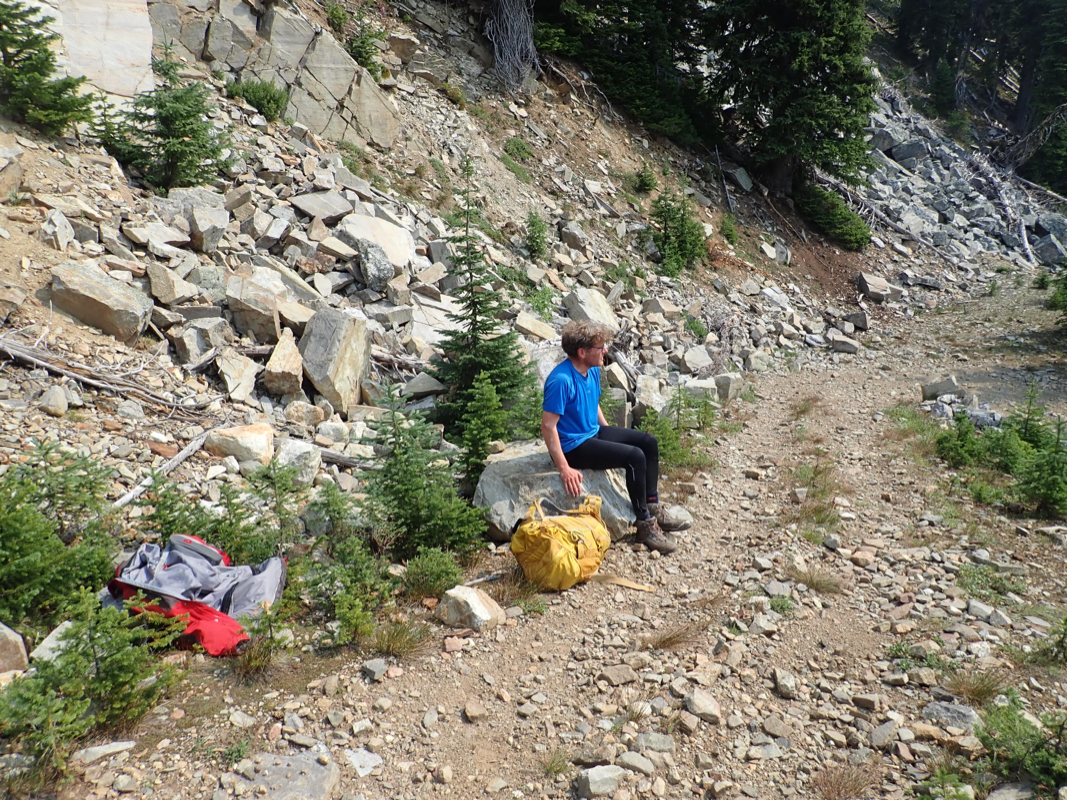
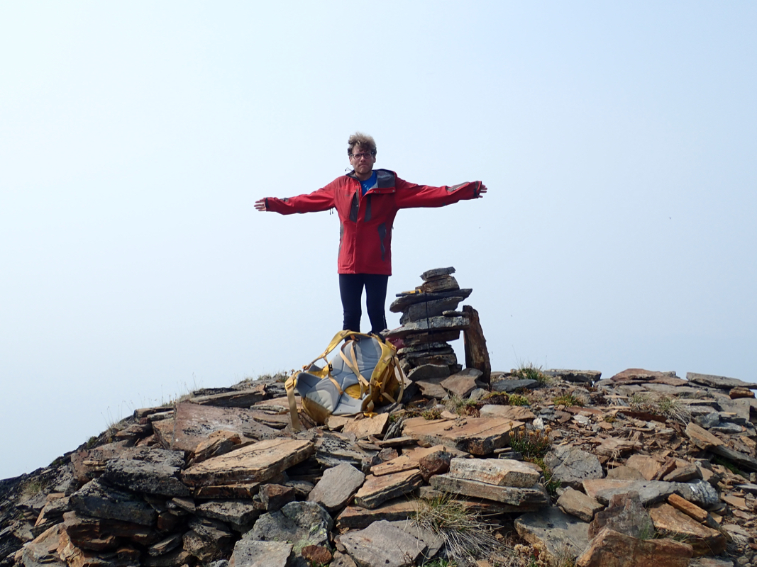
We reached the nice summit at
1225, so 3:05 up. Having a well deserved rest as well as time to take
pictures occupied the next 30 minutes. We next descended back down the same
route in 2:05, reaching the car at 1500.