Toro Peak
- Toro Peak
- 2657 m
- Primary factor 1218 m
- California, USA.
- Location: North 33.52359, West 116.42579 (GPS on the summit.)
- Difficulty: YDS class 1, drive-up.
- Climbed September 22. 2018
Toro Peak
|
|
How to get there:
Locate Hwy. 79 running east from I-15 near Temecula.
Continue to Aguanga, where you drive east on Hwy. 371 across
to Hwy. 74. Go right (south) on Hwy. 74 approximately 5 miles and
locate a (signed) turnoff on your right. The signs says Monte Rosa.
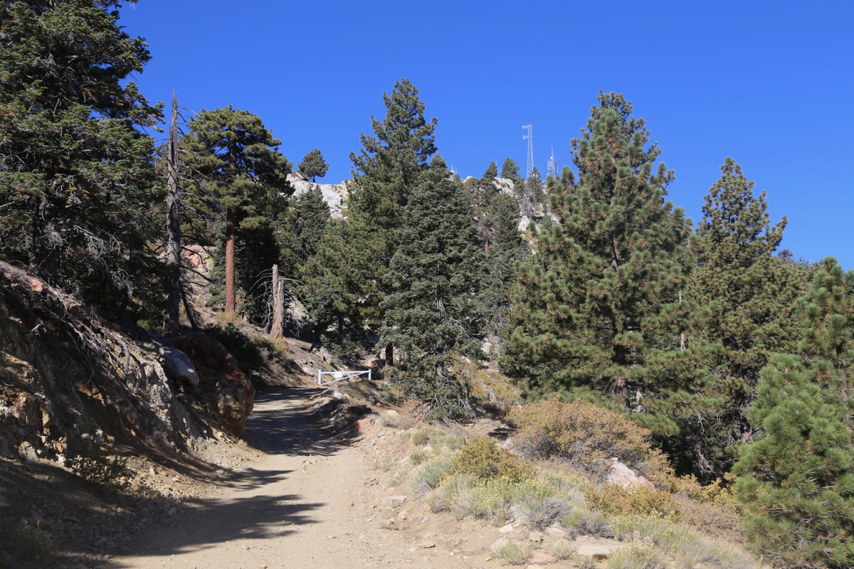
Drive this road (4WD) about 12 miles. The road is a bit rough in the
beginning, but then turns into quite a reasonable road. Estimated time
to drive this section is between 50 minutes and one hour.
The last part of the road is again a bit rough, you arrive at a small
parking area where the road turns sharply right. Park here, there is
a locked gate shortly after this turn. This location is
at N33.52273, W116.42105, elevation about 2520 meter. Park here.
Route description:
Follow the road to the summit.
Comments:
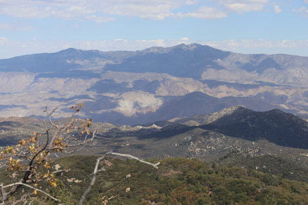
I had stayed in Lake Elsinore the níght before and
my first goal on this Saturday would be Toro Peak.
I had no difficulties in finding the turnoff to the 4WD summit road.
This road was fairly long and required almost one hour.
I was parked at the trailhead at 0845, the hike from there to
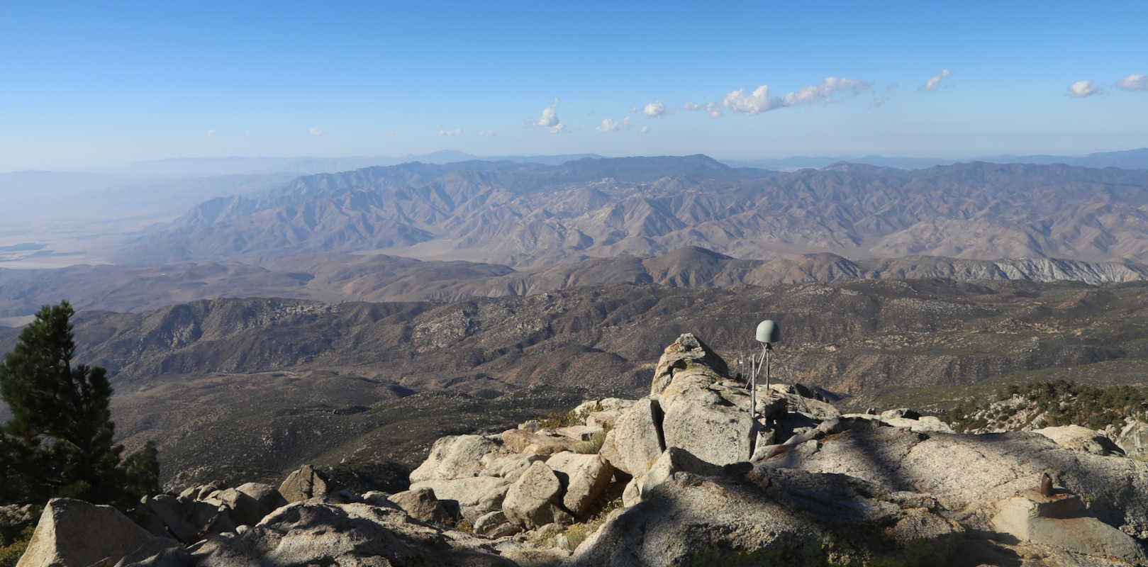
the summit required 15 minutes.
I rested and took photos for about 5 minutes, then descended back down
in 10 minutes. My next goal would be Palomar.