Location: North 46.08982, East 008.39464 (GPS on the summit)
Difficulty: YDS class 2
Climbed September 20. 2013
Information:
How to get there:
Locate the main Hwy. E-62 running from Milan, then passing south, then west of Lago Maggiore before
connecting north across the Simplon pass to Brig in Switzerland. The village of Domodossola is located
about 35 kilometer from Lago Maggiore. Exit E-62 in Domodossola, cross (right, east) the river and follow
signs (uphill) to the village Trontano. In Trontano, the proper road to take is Via Giuseppi Verdi, look
(or ask!) for signs that says Rifugio Parpinasca. This road is narrow and turns into dirt, but is
perfectly fine to drive (with some care) in an ordinary car. Follow this road uphill in many
zig-zag curves until it ends with a small parking near a large trail information sign. This location
is N46.11333, E008.34344, elevation about 940 meter.
Route description:
Continue up the obvious, wide trail. The trail runs past some buildings then reaches
a farm road. Follow this road left, there is an option to again take a trail signed for
Rifugio Parpinasca, or simply continue along this road until it ends (ignore a signed trail
going right shortly before the road ends.) From the end of the road, cross uphill across
open farm fields while keeping left in order to get more or less above the Rifugio Parpinasca.
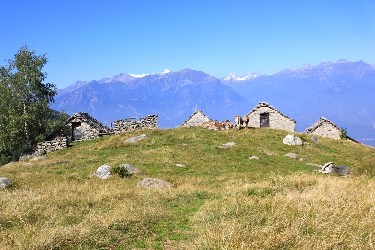
The trail becomes more distinct and it climbs uphill on the broad ridge to
more mountain farm houses located higher up.
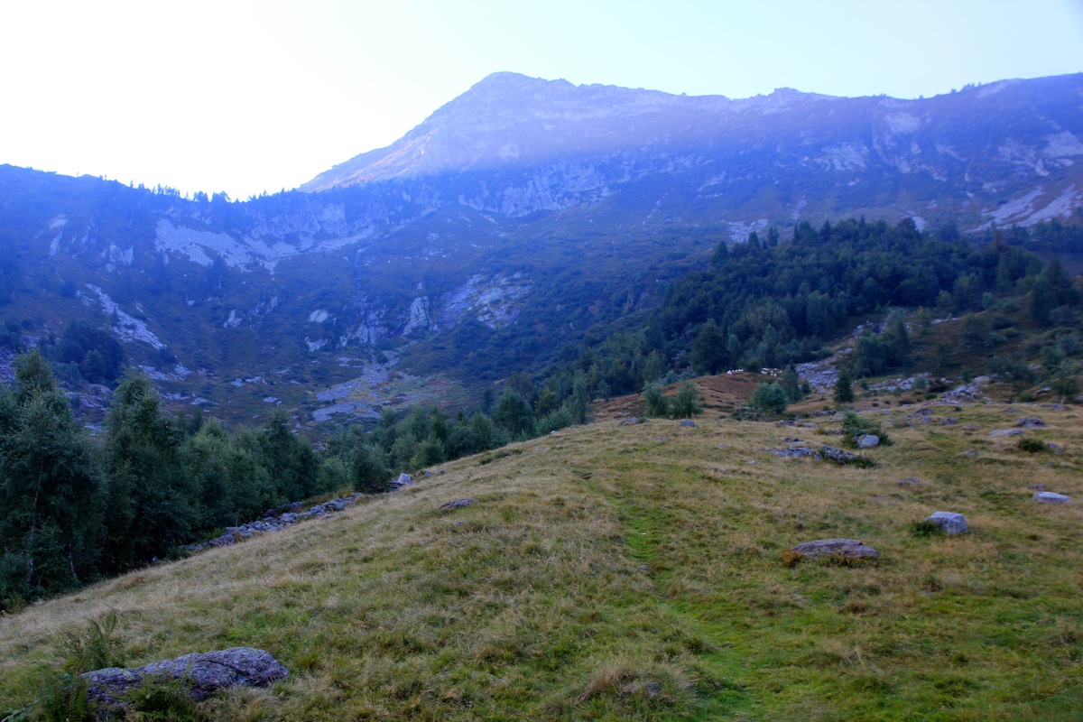
Next, the trail descends slightly, crossing a creek, then heads into
the upper end of the basin
before zig-zag turns makes it gain the first ridge. There is a
trail sign here
(Note the wrong elevation) at about 1735 meter elevation.
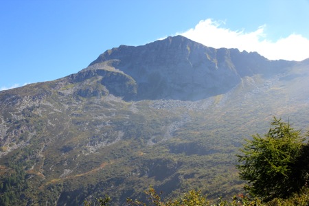
From here, you see Togano for
the first time. Continue right, slightly uphill, then on a curved traverse
into the new basin below Togano. The trail will climb more and gain the
Passo Basagrana, elevation 2070 meter.
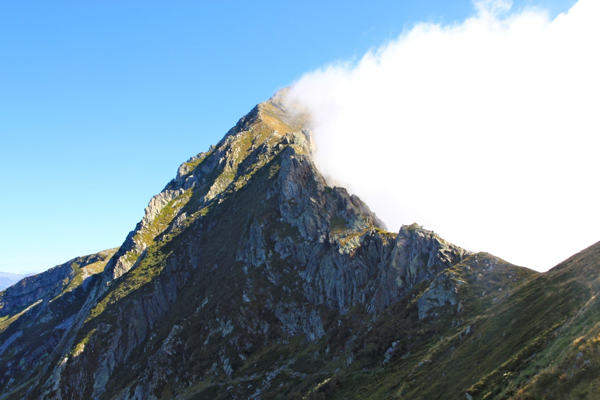
Togano is now directly up along the ridge that runs left.
However, due to some cliffs, the trail
descends a bit on the south side before gaining a local outcrop, then turning more left up
steep, grassy slopes. It pays to traverse left and gain the main (west) ridge above the cliffs.
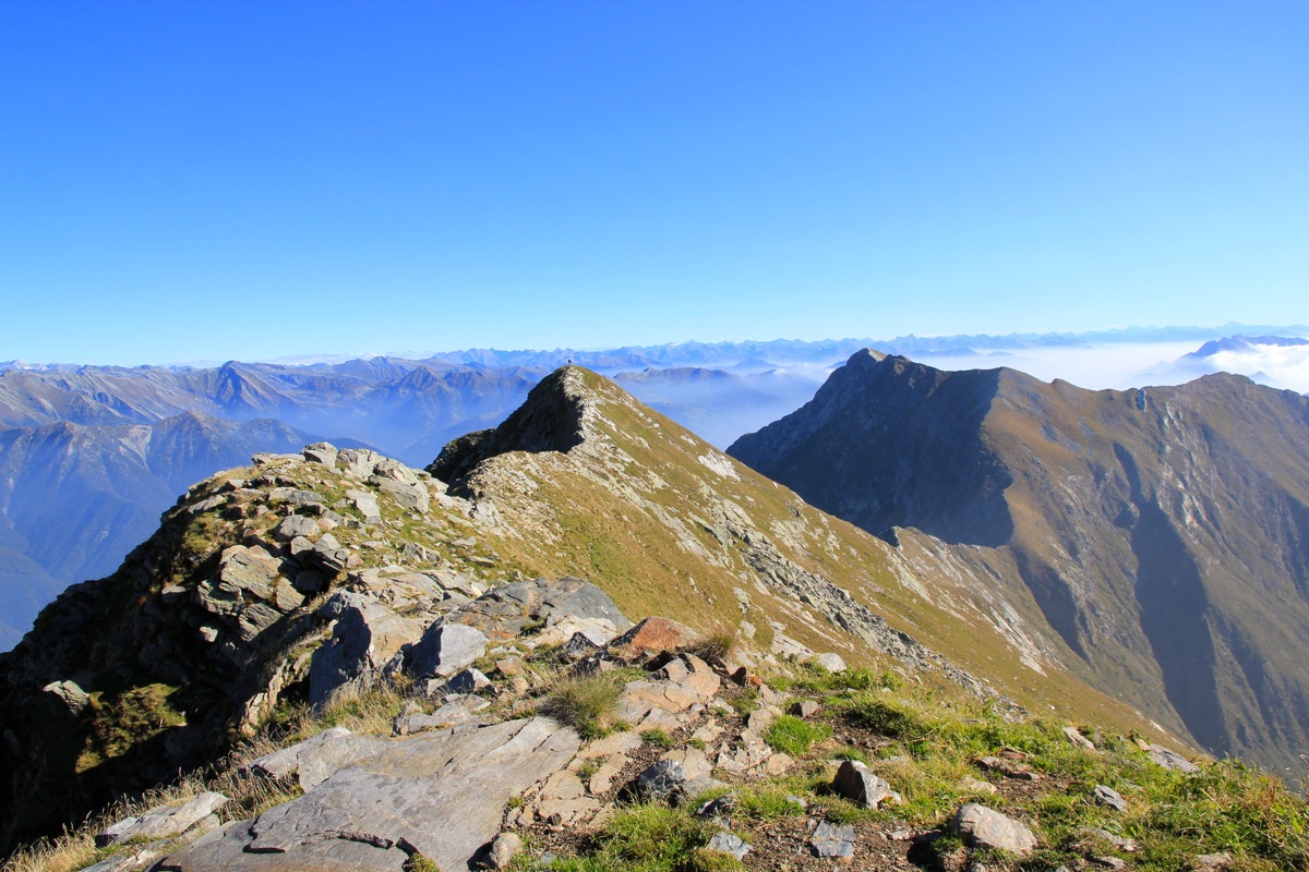
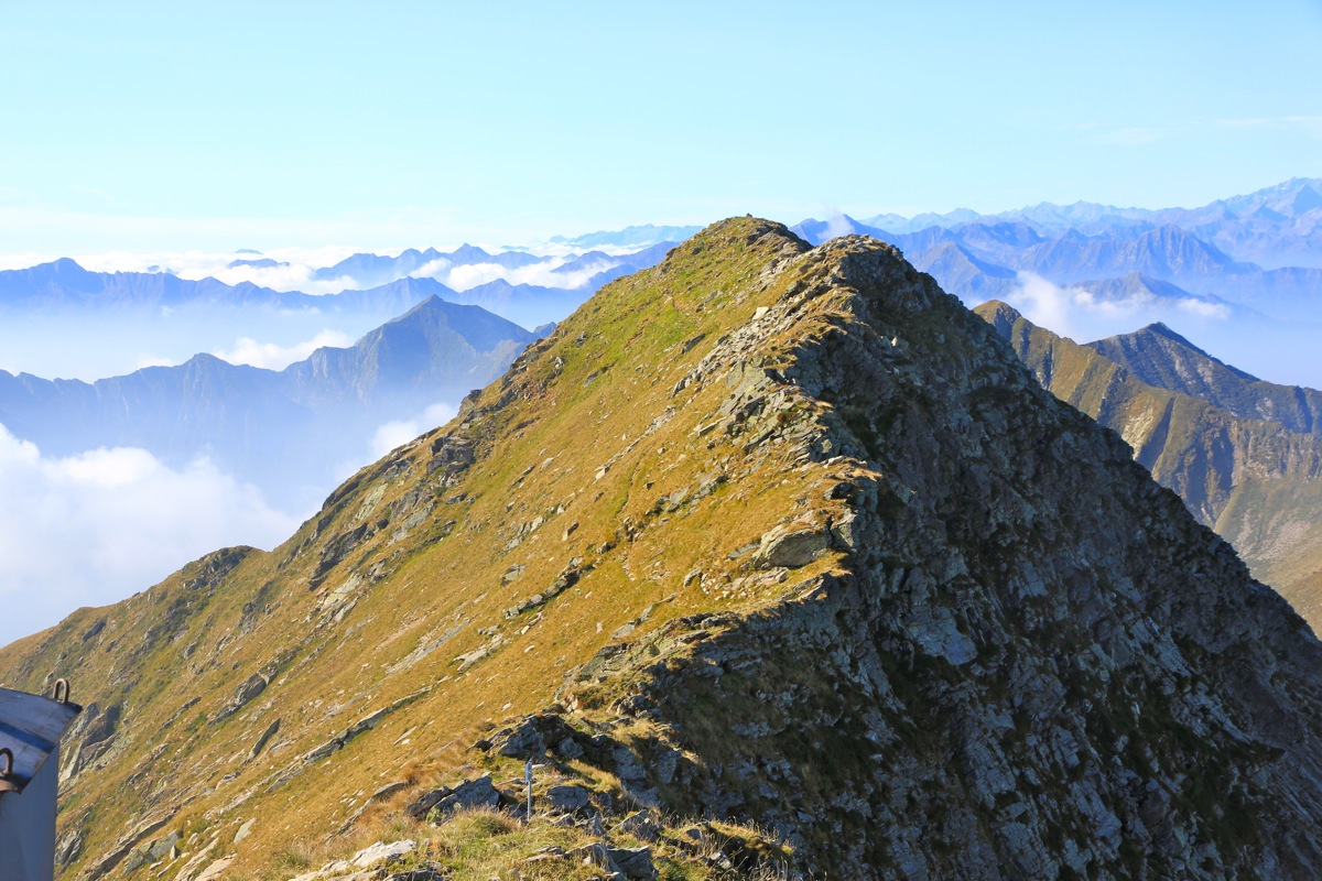
Finally, follow the ridge to the summit. The trail runs a bit on the right side of the crest, however,
staying on the ridge may be equally nice and only involves easy scrambling in a couple of
places.
Comments:
I had attended DD22, (my 19th. conference) in Lugano since Sunday, September 15.
Leaving early, I drove across towards the trailhead while it was still dark.
The last part of this drive, along route SS337 from Locarno to Demodossola, turned out to be a bit more
exciting than called for. This road was quite narrow and I met several hundred!
cars coming at high speed around the curves. If this is normal traffic, this road
should receive an upgrade rather soon.
The timing was pretty good, I arrived at the trailhead shortly before 0730 and started
up the trail at 0730. It was a good day, it was pretty clear that this would be climb with
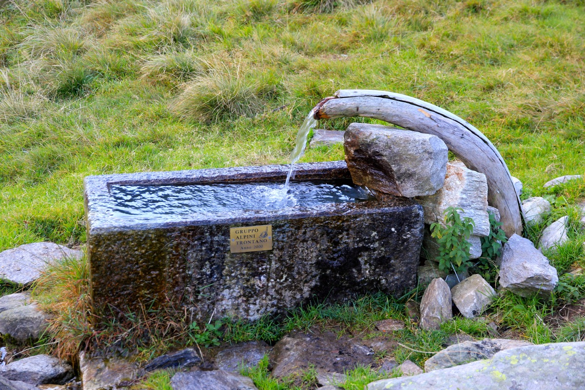
few other people. An excellent drinking fountain was located near the
upper farm house, just perfect.
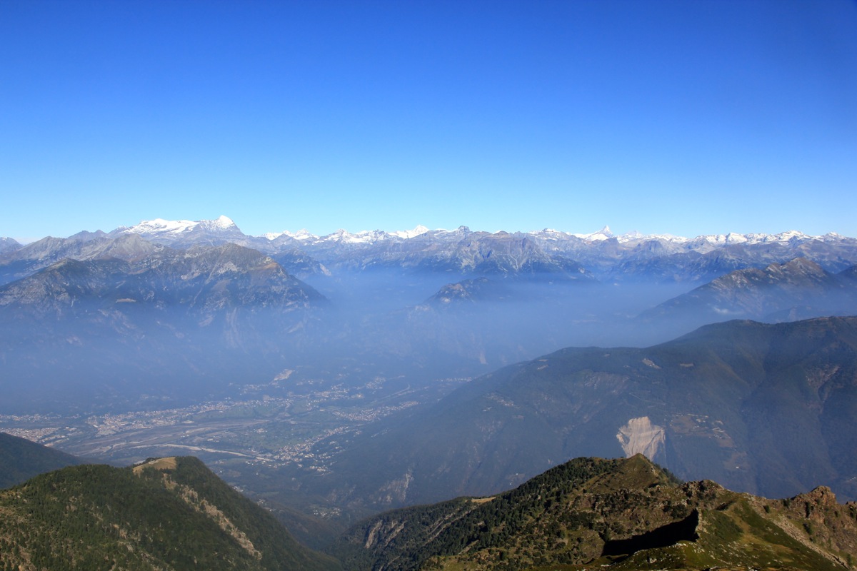
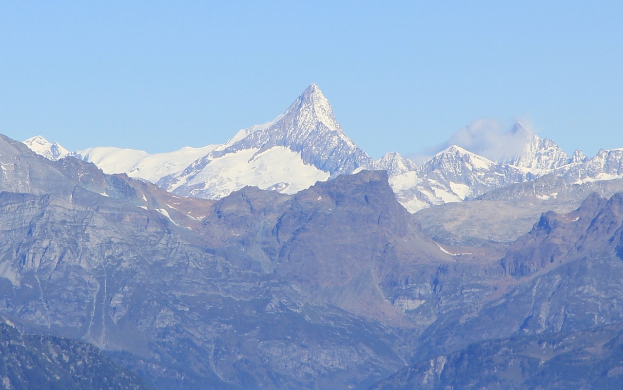
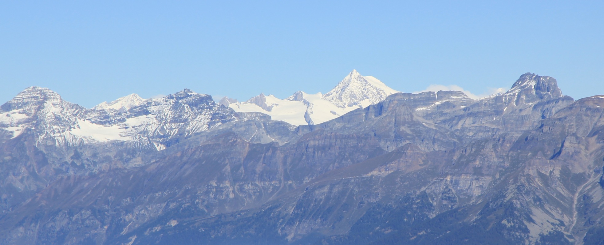
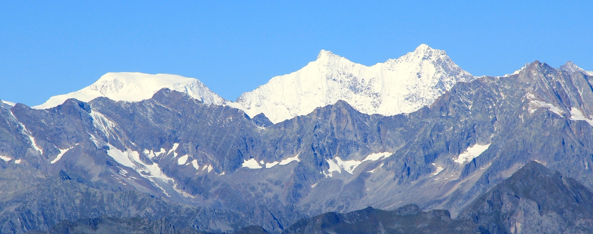
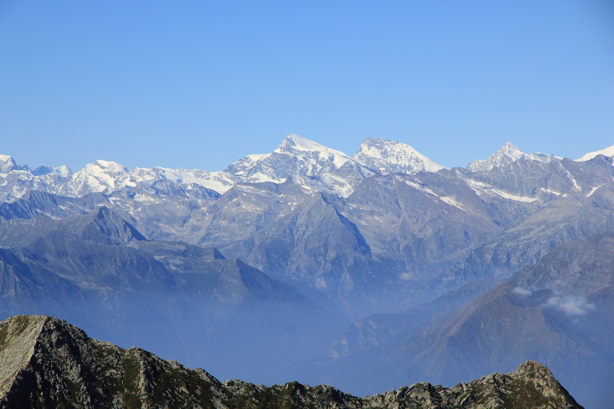
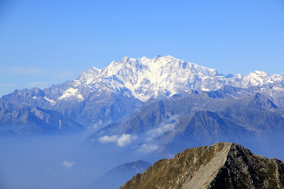
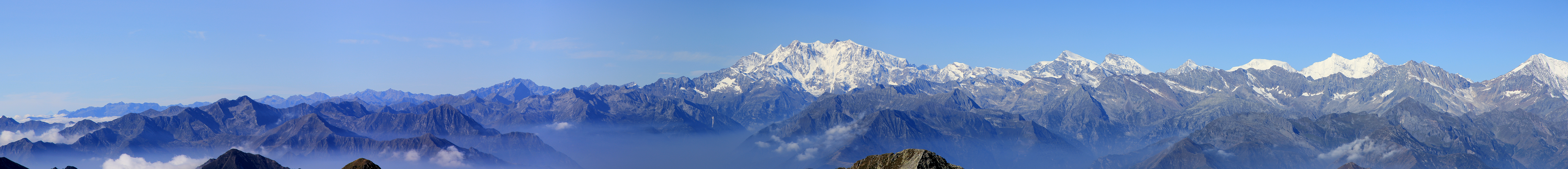
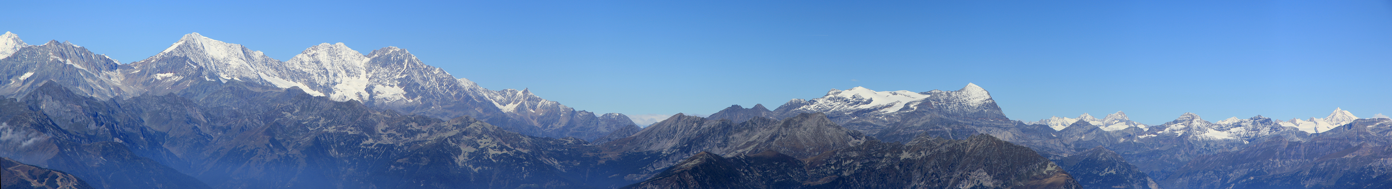
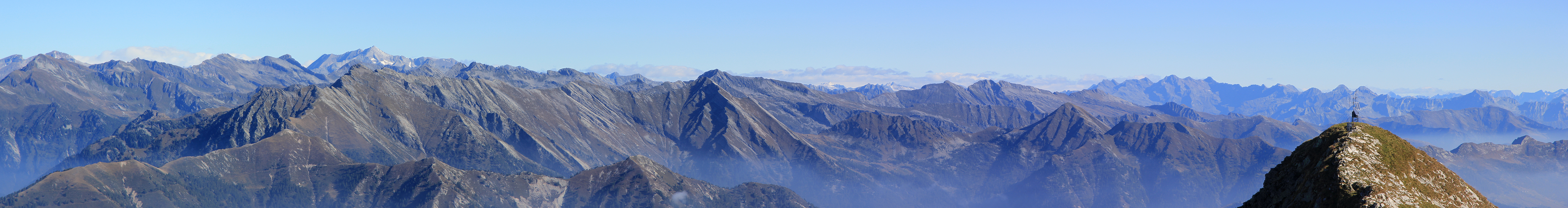
When I arrived at the first ridge, Costa dei Bagnoli, I noticed that clouds were accumulating in the valley. The view
to the Alps were good and I did not want to loose the chance of a photo. I therefore captured this panorama view
from here. Panorama I, and
Panorama II.
(Later, when at the summit, I still had a good view, so the precaution was really not needed.)
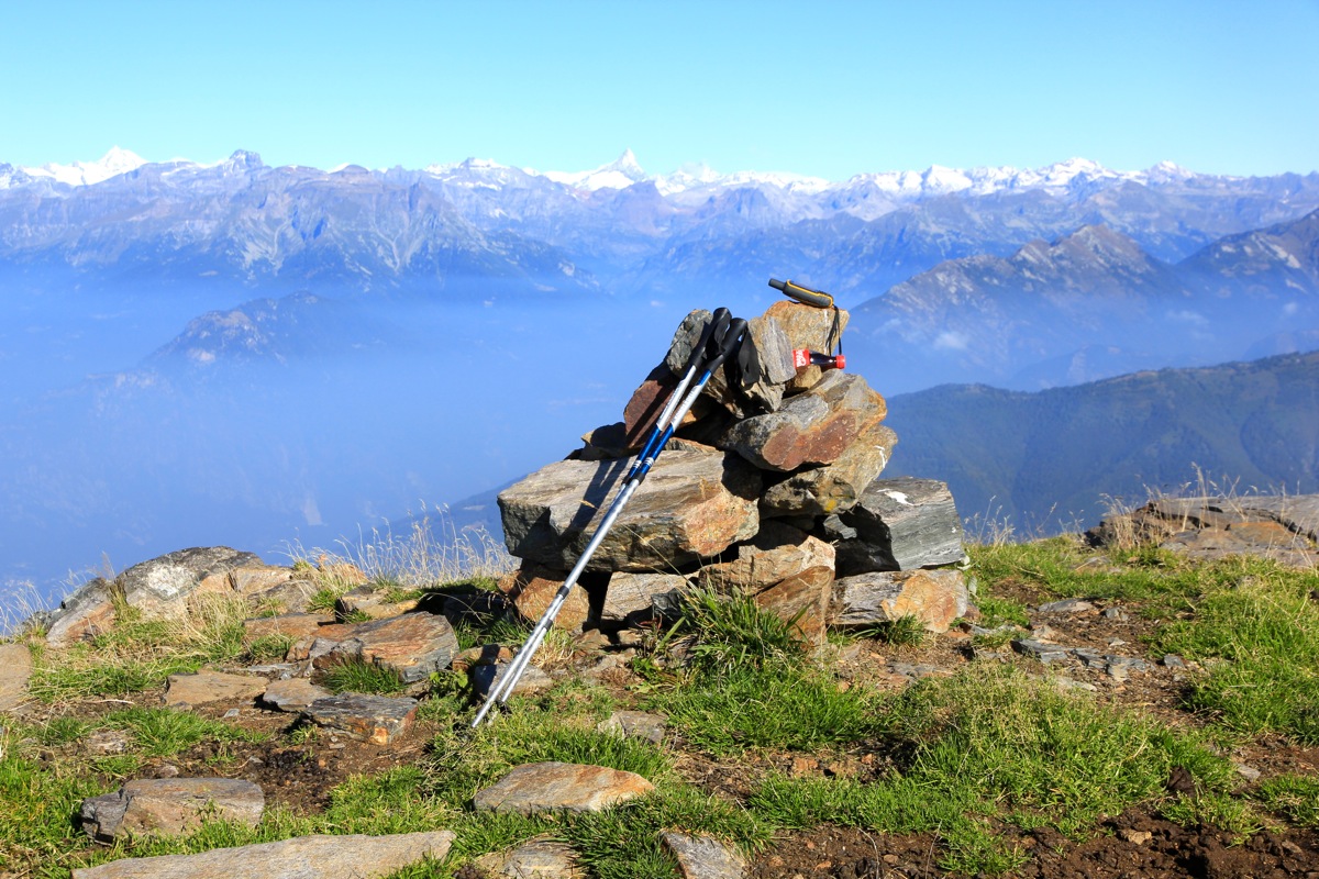
I made good time and arrived at the summit already by 1015. Unlike most summits,
there was no summit cross, rather a small cairn.
The east summit looked more busy and
I decided to do the short scramble across to it.
My GPS indicated that it was about 2 meter lower.
No need to hurry, I sat down and enjoyed the good view as well as the warm sunshine.
I finally left by 1100 and were back at the trail in the main col about 30 minutes later.
From here, it was easy downhill on a good trail.
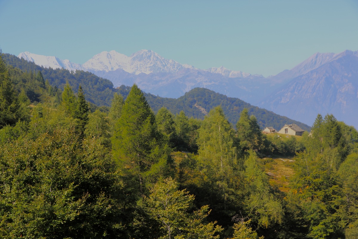
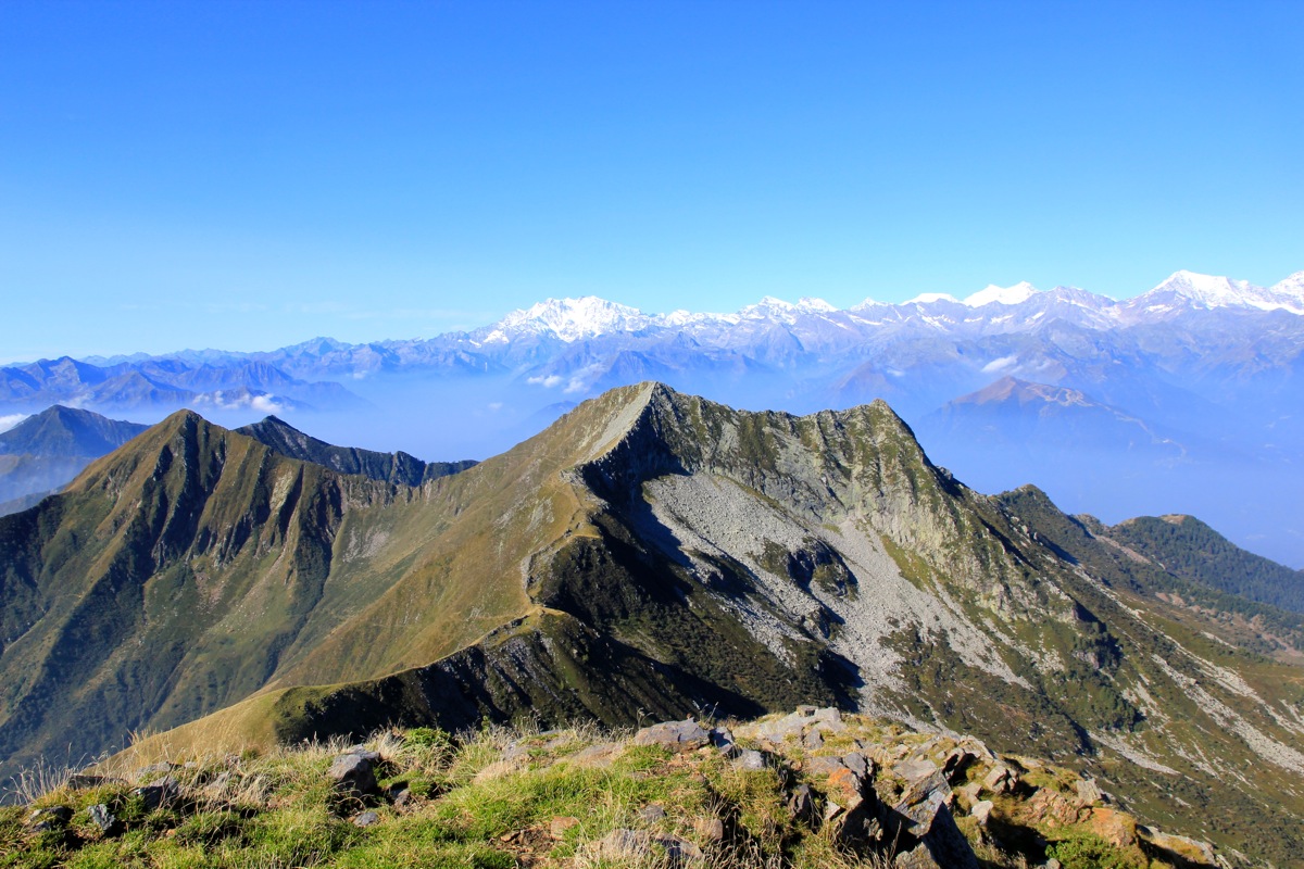
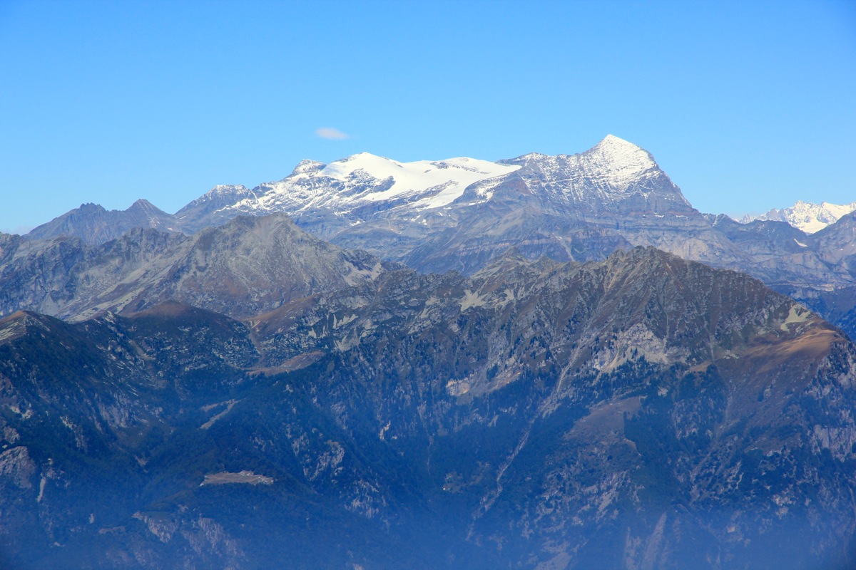
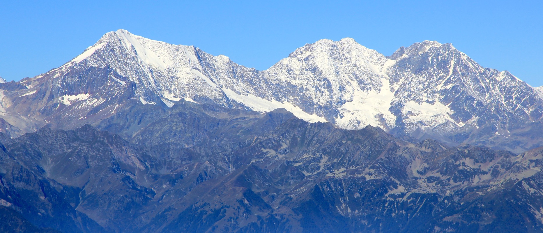
The upper mountain farms looked
nice with the giant Alps further behind.
I continued downhill and
was back by my car at 1315.
This was quite according to plan, since I wanted to travel to a good starting location
for climbing Haute Cime the next day.