Mount Tod
- Mount Tod
- 2155 m
- Primary factor 1523 m
- Location: North 50:54.993, West 119:56.455 (GPS at the summit)
- Sun Peaks Resort, BC, Canada.
- Difficulty: YDS class 1
- Climbed: July 23, 2011
Mount Tod
|
|
How to get there:
Locate the city of Kamloops along Hwy. 5 in British Columbia.
Go 21 kilometer north on Hwy 5. If coming along Hwy. 1, take exit 374, get on Hwy. 5 going north
and follow it north about 21 kilometer.
More precisely, you should travel north 18.5 kilometer (11.5 miles) from the traffic lights next to a Husky gas station
just north of Kamloops.
Look carefully for a sign for Sun Peaks Resort, the turnoff is a bit abrupt, turn right. Almost immediately
after this exit, turn left following signs for Sun Peaks Resort. From here,
follow the main road (about 32 kilometer) and signs for Sun Peaks Resort until you arrive at the village center.
This is the trailhead, location N50:53.072, W119:53.229, elevation about 1255 meter. There is a good selection
of accommodations.
Route description:
There is a pretty rudimentary trailmap that can be obtained at the resort.
One can take the Sunburst Express chairlift from the base to elevation 1840 meter, it
operates during the summer season, cost (2011) Canadian dollar 20 for a round trip. One can also
hike trail 15 connecting with trail 4, then trail 3.
Trail 15 heads uphill on the right side of Sunburst Express.
The lift gains about 585 vertical meter.
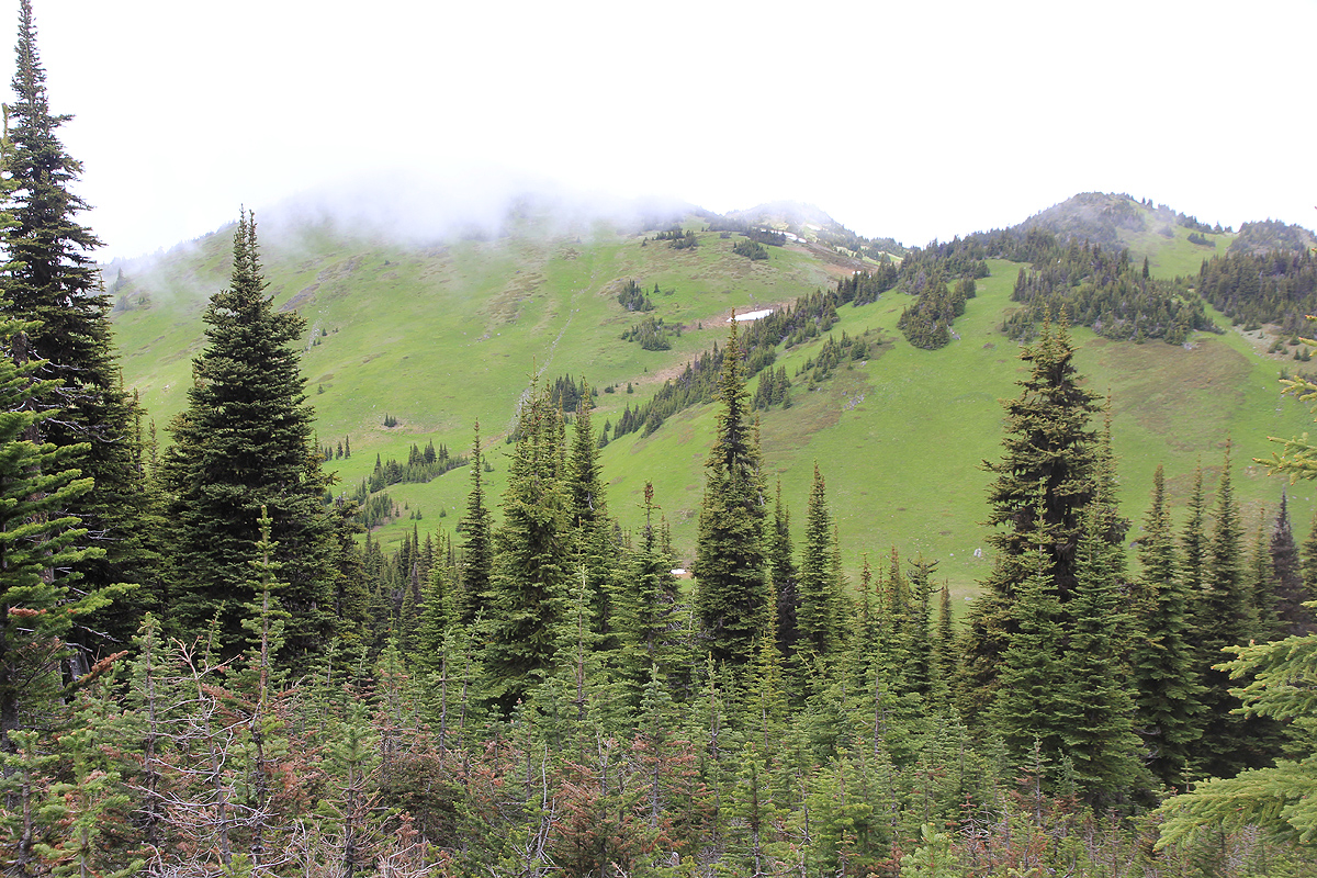
From the top of the Sunburst chair lift, continue uphill along trails with the sign 9 and/or 11.
Shortly, you arrive between the top stations of two lifts. From here, you may take a short side trip
and climb the local summit on your left. It is called Top of the World and there is an interesting
sign describing the history of Sun Peaks Resort and ski area there.
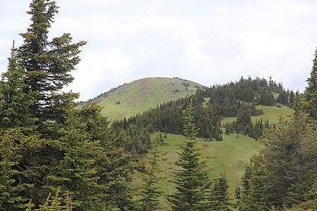
The route now traverses on the right side (east) of the next humps. However, if you want to bag the
highest independent mountain before coming to Mount Tod, you should hike acrosse these humps.
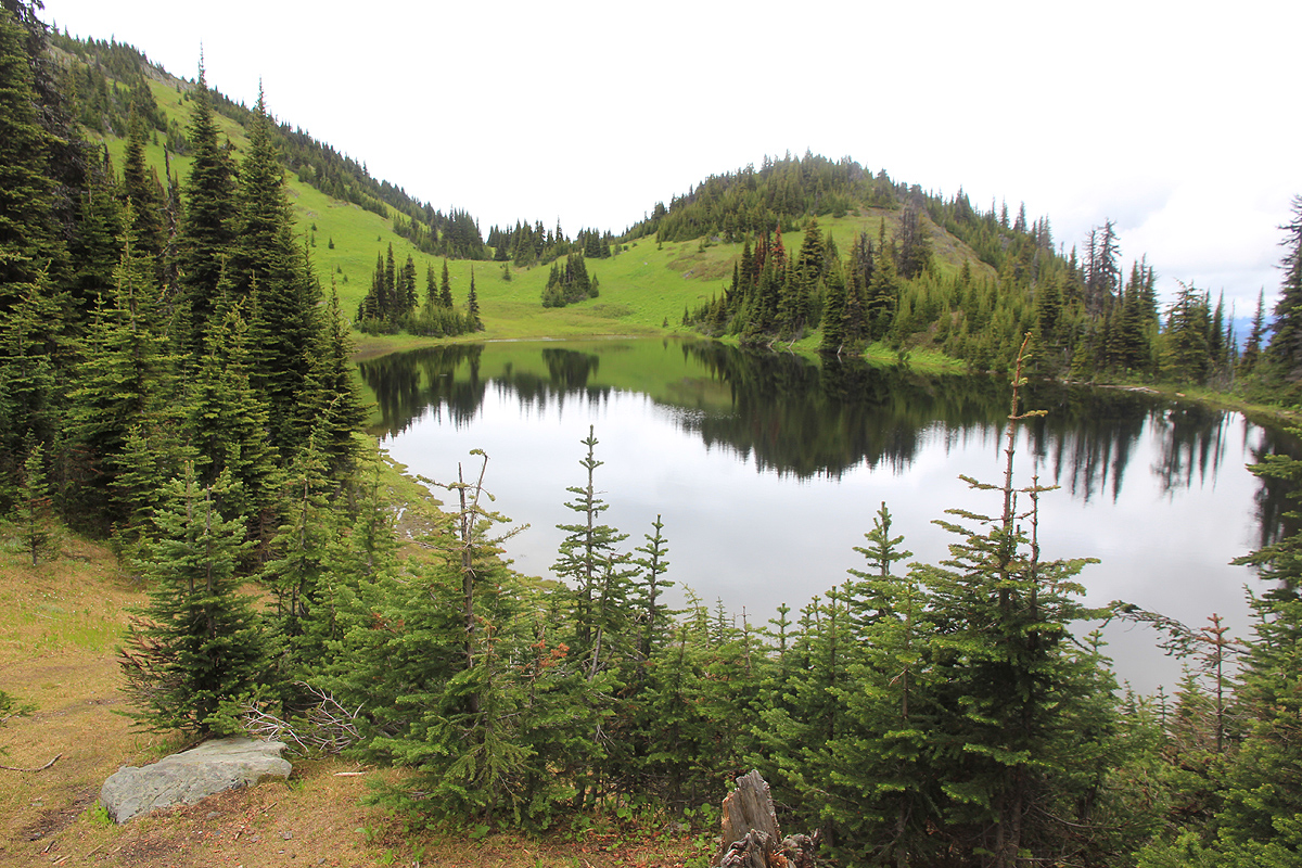
As you enter the distinct, small valley that cuts across (west to east), there are two choices. Tod Lake trail goes
right, while another trail heads more directly uphill. Either way is fine. At a high saddle, these two
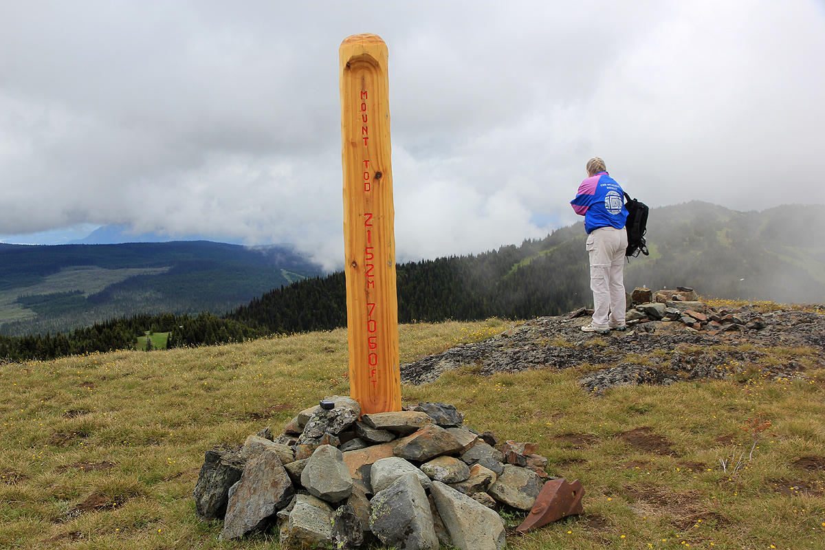
variants meet and a single, small trail heads up the final ridge to the summit. The summit has a nice
summit pole with name and elevation carved in the wood.
Comments:
I climbed this peak with my wife Heidi.
We took the lift, then started hiking around 1010. We lost the trail, not aware that we should go right of
the humps. This provided us with a bonus summit, as we traversed
across Mount Tod South Peak, separated by a (1980-2000) meter
saddle from Mount Tod itself. Low clouds were obscuring the views of the main peak.
We hiked by Tod Lake and followed the easy trail as it turned around and climbed
the summit. We were there about 1:30 after departure. Our hike continued by making a big loop sort of west before
we decided to regain the Top of the World summit.
We returned to the village by 1400, a nice hike that fully showed how spring is here and summer is only
beginning (July 23rd. !)
Our three day stay in Sun Peaks resort concluded our summer trip to USA and Canada. On Monday, July 25.,
we travelled back to Seattle, stayed with Loyce and Randy, before flying home to Norway on Tuesday, July 26.