Location: South 04.73106, East 038.23316 (GPS at the summit)
Difficulty: YDS class 2
Climbed January 19. 2019.
Information:
How to get there:
Lushoto is the small town from where to start. You get to Lushoto
from Mombo locted on hwy. T2 running from Dar es Salaam north to Arusha.
Drive the main road north from Lushoto, pass Magamba and turn left at
location S04.74752, E038.29693, elevation about 1640 meter. Continuet
to location S04.74468, E038.28519, where the road is closed by a gate.
Just beyond the gate on the right hand side is a house that checks
permits and collects the fee (20.000?) for hiking in the forest.
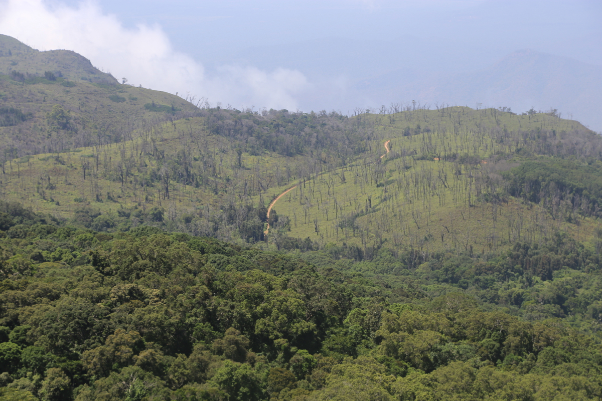
The drive from here to the trailhead will take approximately 40 minutes,
the road is rough, but we had no problems with a Rav4. There are planted
pine trees that are used commercially along the road. You will pass a cluster
of buildings with few signs of life, the road gets slightly rougher after
this. Park at location S04.71068, E038.23721, elevation 2035 meter, this is
near the highest point of the road.
Route description:
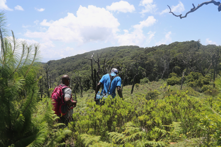
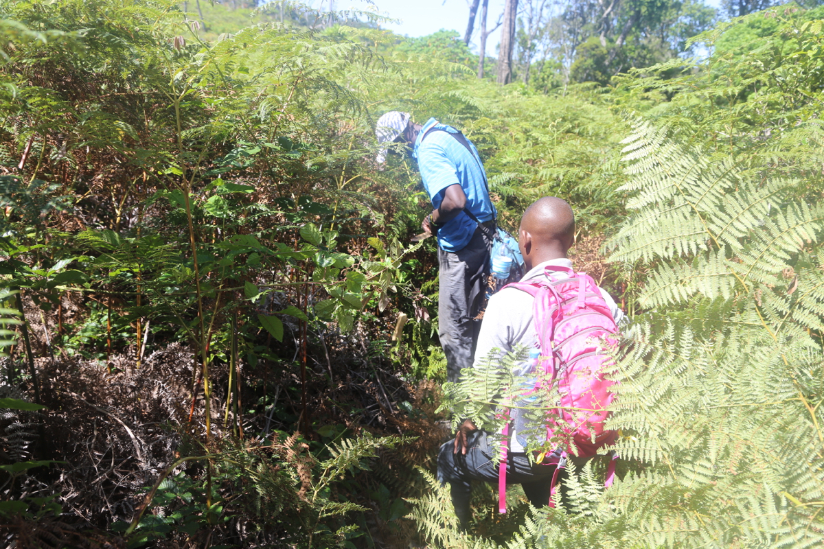
A small trail runs
into the forest directly from the trailhead. It soon
emerges from the trees and enters a more open area overgrown with bush.
Here, the trail sort of vanish. One should find (a path from previous parties)
a way uphill
(turn right relative to the initial direction) and cross this
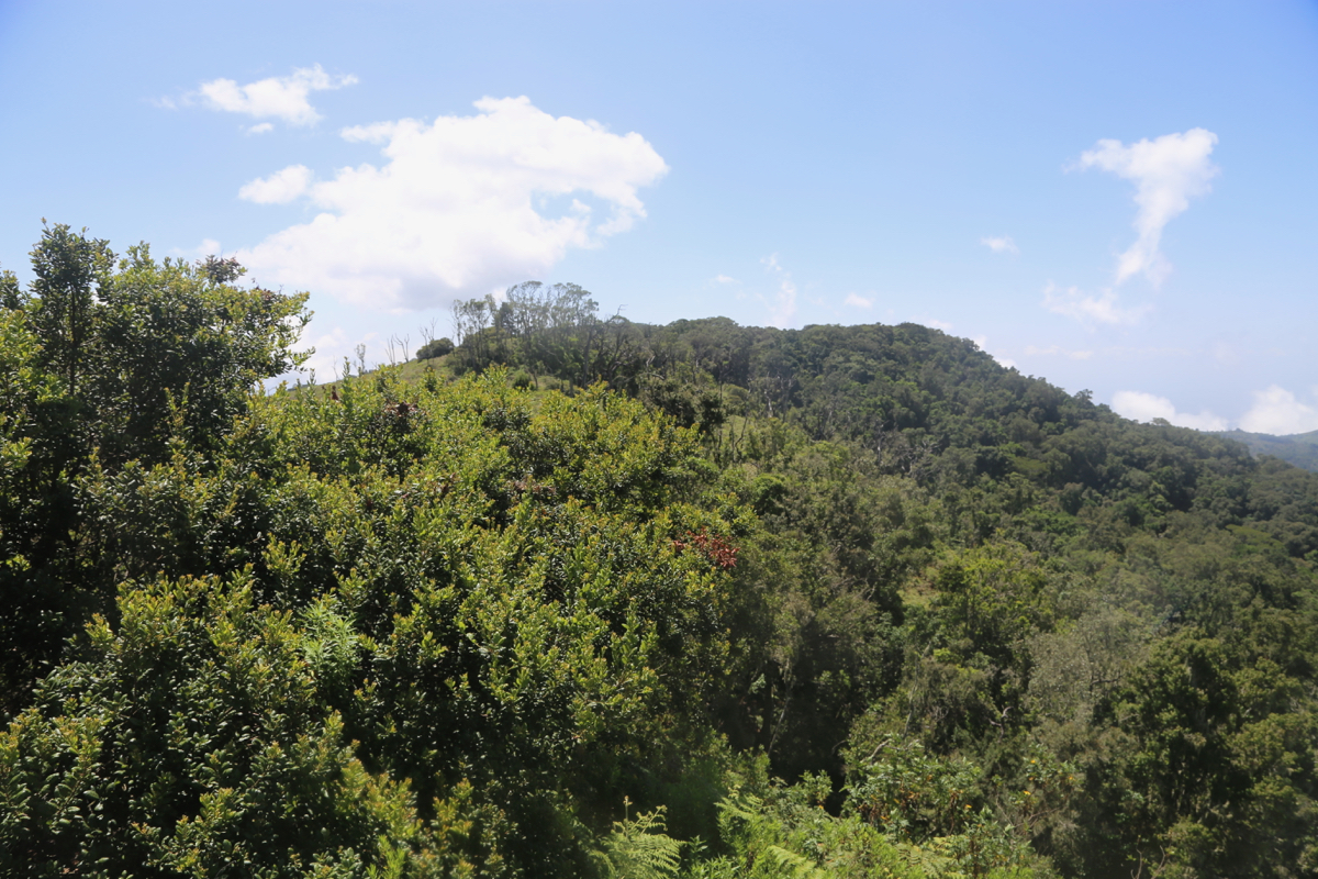
area. On the top of this slope one will re-enter forest that is easier to walk.
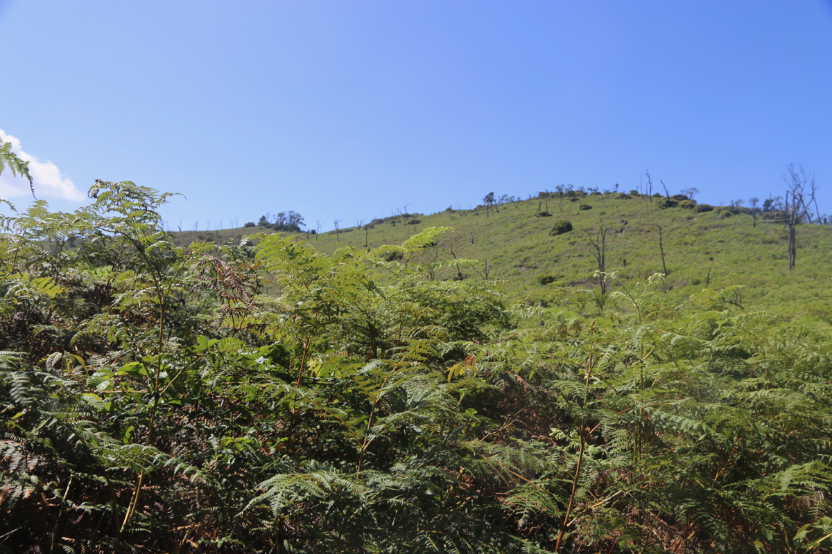
The terrain slopes downhill, just before the bottom, keep right and follow easier
terrain (avoiding bush) in a semi-circle going right, then curving left. Ascend
the ridge/hill and you will find yourself near the
base of an open hill that forms
a ridge leading towards the summit of Sungwi. A first waypoint on top
of this ridge is S04.72152, E038.22816, elevation near 2280 meter.
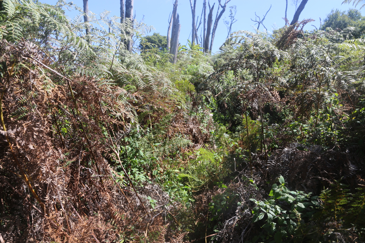
There is more bushwack here, but
somewhat easier along the top ridge
where some rocks are at the surface.
Follow the ridge until it
ends with a small downhill, then enter another (the last)
section of forest. Initially, one descends slightly, then a final, very gentle
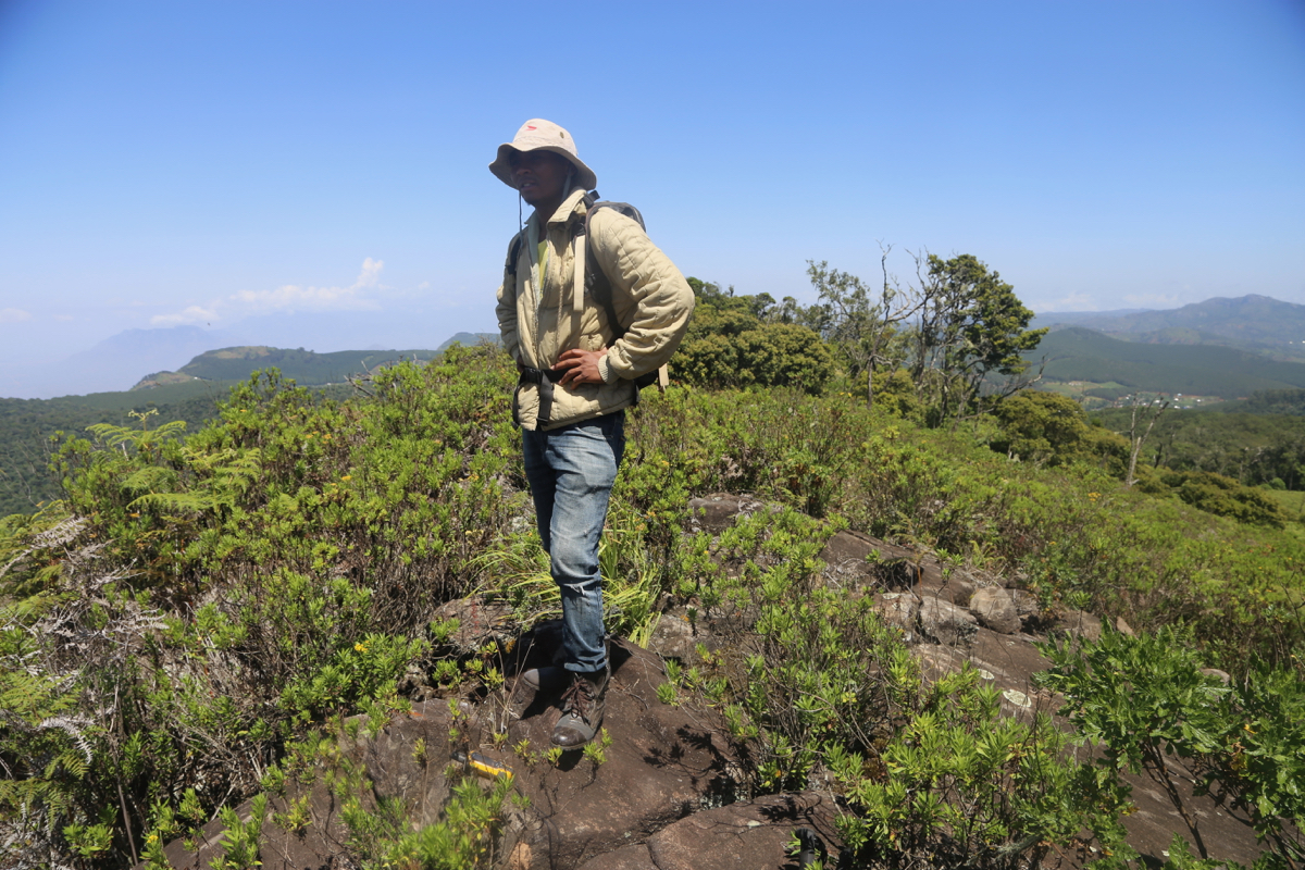
uphill will lead towards the highest point around 2300 meter.
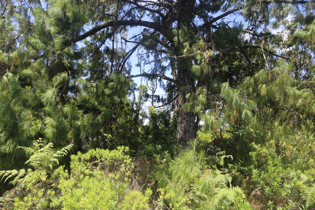
The highest point is
near a big tree, there is no views, this is a forest highpoint.
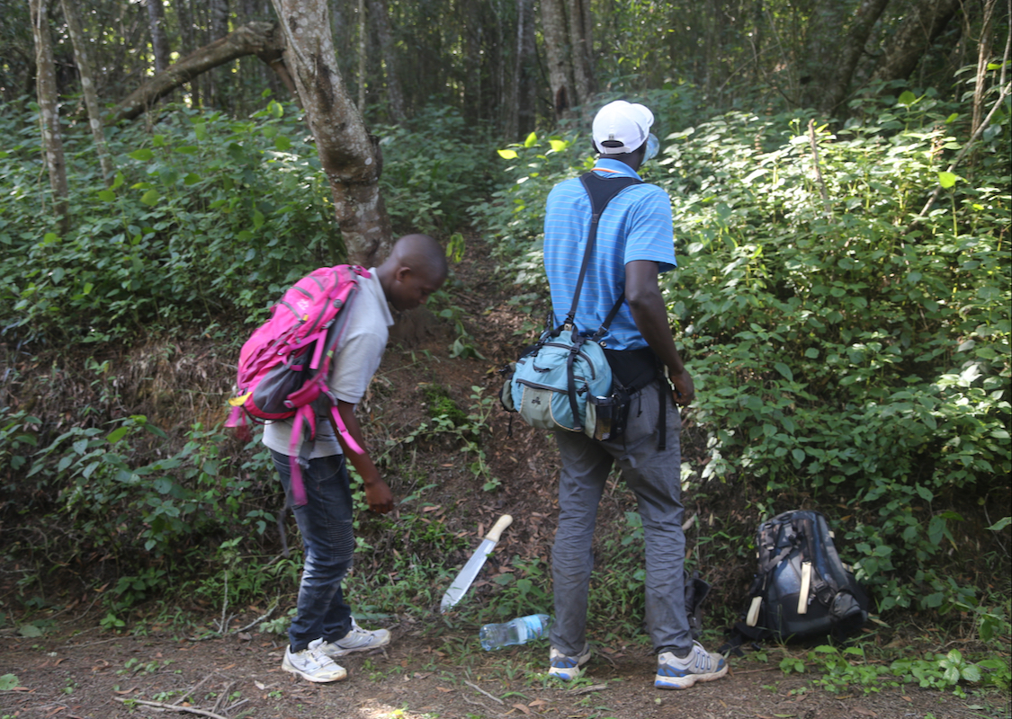
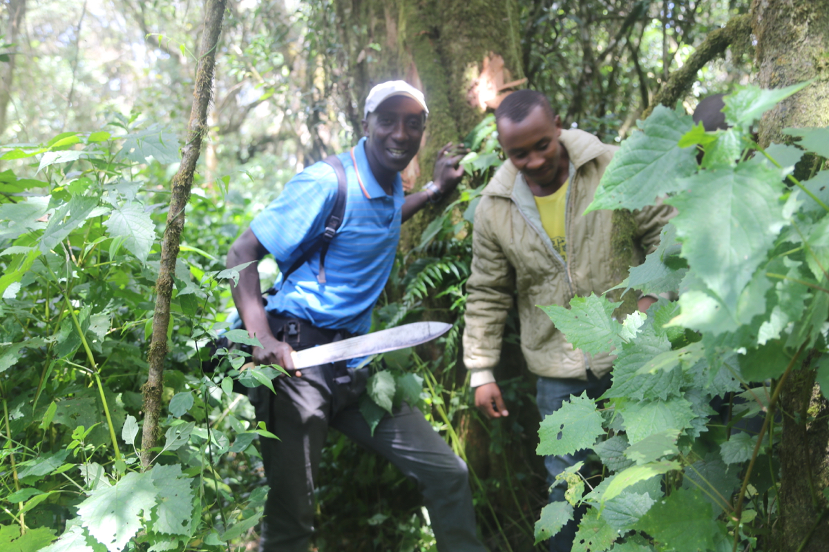
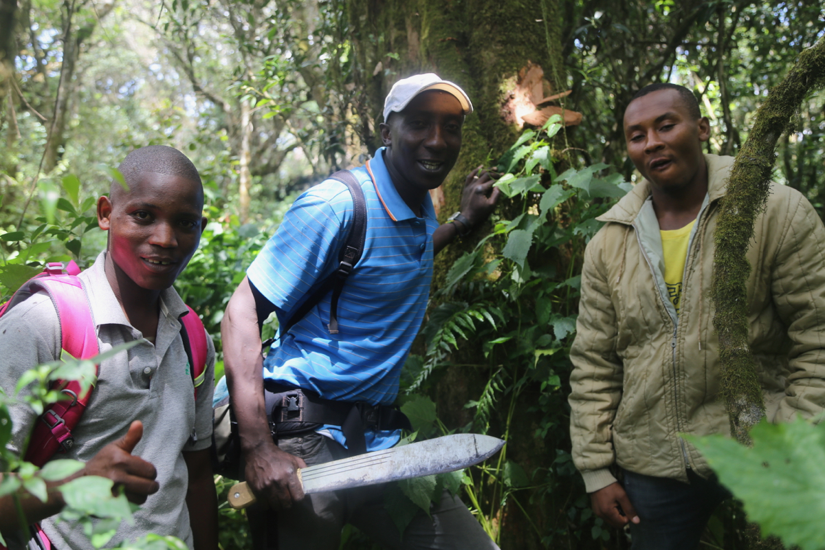
A machete (jungle knife) is recommended. We carried one and cut a path in the worst
bush. This is likely to grow back quickly. However, we also marked the route by
leaving marks (from the knife) on trees along the route.
Comments:
We left the trailhead at 0845. Geoff came along as well as two local guides, one
of them participated in the pioneering trip by Rob one year ago. (January 22. 2018)
We quickly ran into bad bush and progress was rather slow, but something almost
looking like a rough trail showed up behind us.
We reached the first ridge with an elevation near 2280 meter, after 2.5 hours
of hard work. From here,
the going got somewhat easier and we arrived at
the summit around 1230.
We rested near 30 minutes and I used my GPS to do an
averaging across this time, making 3 samples with a final reading of 2305 meter.
Heading down, the going was considerably easier and we were back at the car at 1500,
a descent in about 2 hours. Thanks to the local guides as well as Geoff for spending
much energy on trying to clear a path through the dense brush.
The previous peak on this trip was Shengena,
the next peak is Meru.