Location: North: 40:31.346, West: 118:10.247, (GPS at the summit)
Climbed October 18, 2005.
Difficulty: YDS class 2 (my route)
Information:
How to get there:
Locate Exit 138 at Interstate 80 (from San Francisco). This is 138 miles from
the California-Nevada state line and about 30 miles north of the small town
Lovelock. Exit to the east side (that is the right hand side if driving from
California) and immediately get on a road that parallels the Interstate going
south (That is in the direction back to Lovelock). Drive this road about 3 miles.
The first mile or so is paved, the rest a very good dirt road. After 3 miles, at
elevation 1326 meter and location N40:32.744, W118:16.559, a good looking dirt
road goes left directly towards the mountains. This is the road serving
Black Canyon.
If you want to check out the Eldorado Canyon access road, you must continue further south
along the main frontage road, then make a left at a road that heads directly towards
the more distinct looking Eldorado Canyon. If you end up where the frontage road
turns left and approaches a mining operation, you have gone too far.
Assuming you want to start from Black Canyon, continue along the Black Canyon access road
for about 4 miles. When I was there in October 2005, this road was pretty good. However, a few
"humps" may look discouraging to ordinary cars, including a short section fairly
early. Thus, a high clearance car should be used if at all possible. After about 4 miles you
are well inside the canyon and arrive at a fork with one pretty bad 4WD road heading up left,
while the main road descends and crosses a small creek in a big right curve. Continue on the
other side as the road now climbs the hillside with one sharp left turn about half way up.
The road gains a local ridge and follows this to the main slope of the mountain, then contours
right with a very gentle climb as it traverses a pretty large grassy slope. Abruptly, the road
ends in the middle of this slope. There is plenty space to turn your vehicle here. This is
the Black Canyon trailhead, elevation 1975 meter, location N40:32.251, W118:12.407. Route description:
There is a route up Eldorado Canyon, however the road access was washed out and
a hike this way would then be substantially longer, unless your 4WD can make it passed
the bad sections of the road. Following this road almost to the summit has been the standard,
YDS class 1 route to Star Peak.
I drove up Black Canyon (see above) and parked as described. From here, there is an easy,
pretty direct route to the summit. However, as there is no trail, this route is YDS class 2
(off-trail hiking).
From the trailhead described above, continue in the direction of the road that just ended, doing
a very gentle ascending traverse. You will see cliffs coming down along a ridge ahead, the route
should contour below these cliffs. That is, do not gain too much elevation before entering the
small valley coming down behind the first ridgeline. After entering this valley and ascending it
for a short while, you will
see that it forks, with a main section going straight up (or left), while a somewhat more
narrow passage gives access to higher terrain more right. Ascend the rightmost section and continue
in this direction until reaching a distinct ridgeline with several small towers and humps. There
is a new, broad valley coming up from your right. Stay left in order to maintain your elevation,
then traverse this valley while ascending. This course will make you hit the summit road coming
up from Eldorado Canyon. You may actually first come across a small, horizontal road that possibly
served a small mine in the past. In any event, the summit of Star Peak is straight ahead. Cross the road and
hike near the saddle between Star Peak and the mountain behind you that is served by the road.
(This mountain has a fairly tall antenna near its summit). As you contour up the last section
of this climb, you will pass another antenna structure on your left, the summit is then in sight
a few hundred meter ahead near some rock outcrop. Comments:
I started from "my trailhead" at 0400 in bright moonlight. Since I really
did not know exactly what would be the best route, some time was wasted by
first climbing the ridge straight above the point of departure. I was not sure
where Star Peak really was relative to my starting point and ended up on a neighbor
peak, fortunately only separated by a shallow saddle. A map would have helped!
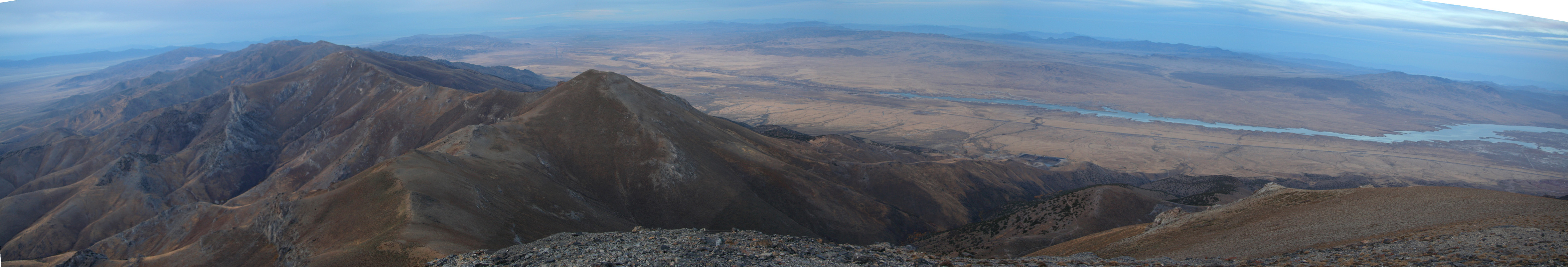
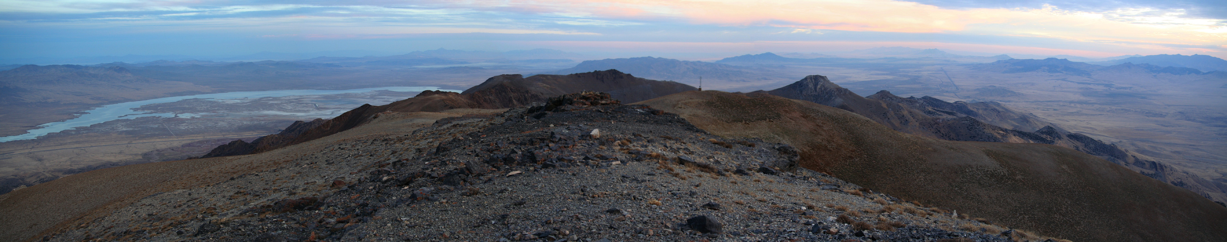
I reached the Star Peak summit at 0700, enjoyed watching the sunrise from the summit
before starting down at 0715. I was back at my car at 0900.
This concluded my N5 trip, there is more information and photos available in
my trip report.
Resources:
Images
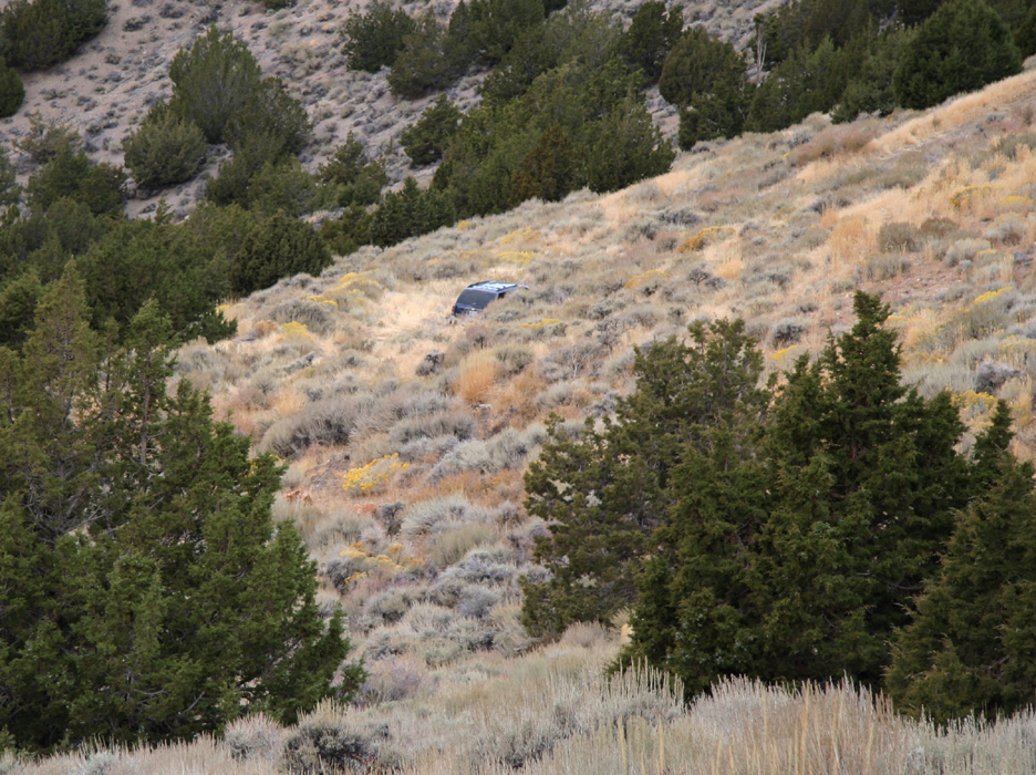
The trailhead, the road just ends where the car is parked.
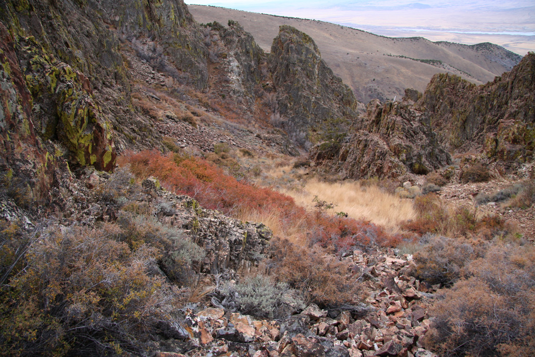
The route,seen while descending. The route turns right
out of this valley below the cliffs that can be seen here. From there, the trailhead
is quite close and easily reached.