Location: North 61.90932, East 009.73950 (GPS on the summit)
Difficulty: YDS class 2
Climbed August 1. 2013
Information:
How to get there:
This mountain can most conveniently be climbed from the DNT hut Rondvassbu.
In order to get there, find the exit from Hwy. E-6 about 800 meter south of Otta (the intersection of
E-6 with Hwy. 15), signed for Mysusæter. Drive to Mysusæter, then continue a few kilometer on
a toll road (NOK 20. in 2013) to the large parking area at Spranget, location N61.83500, E009.73118, elevation
about 1090 meter.
From Spranget, one can walk along a nice dirt road to Rondvassbu, about 6 kilometer, this takes approximately
one hour keeping a good walking pace. One may also call Rondvassbu and reserve a bike, many bikes are available
at Spranget, this service was priced at NOK 100. in 2013.
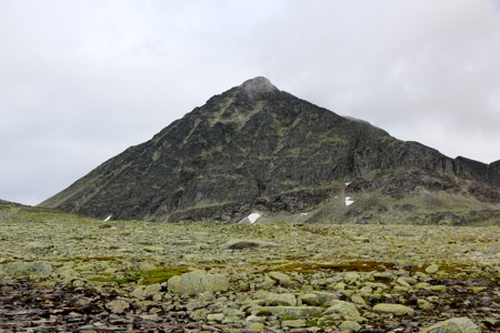
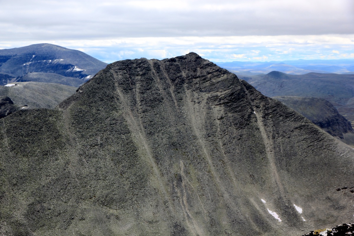
Route description:
The easiest route will first go from Rondvassbu to the col connecting Storesmeden with
Steet (and Sagtinden). See my description of Sagtinden
for further details.
From this col, the ascent to the summit is quite easy.
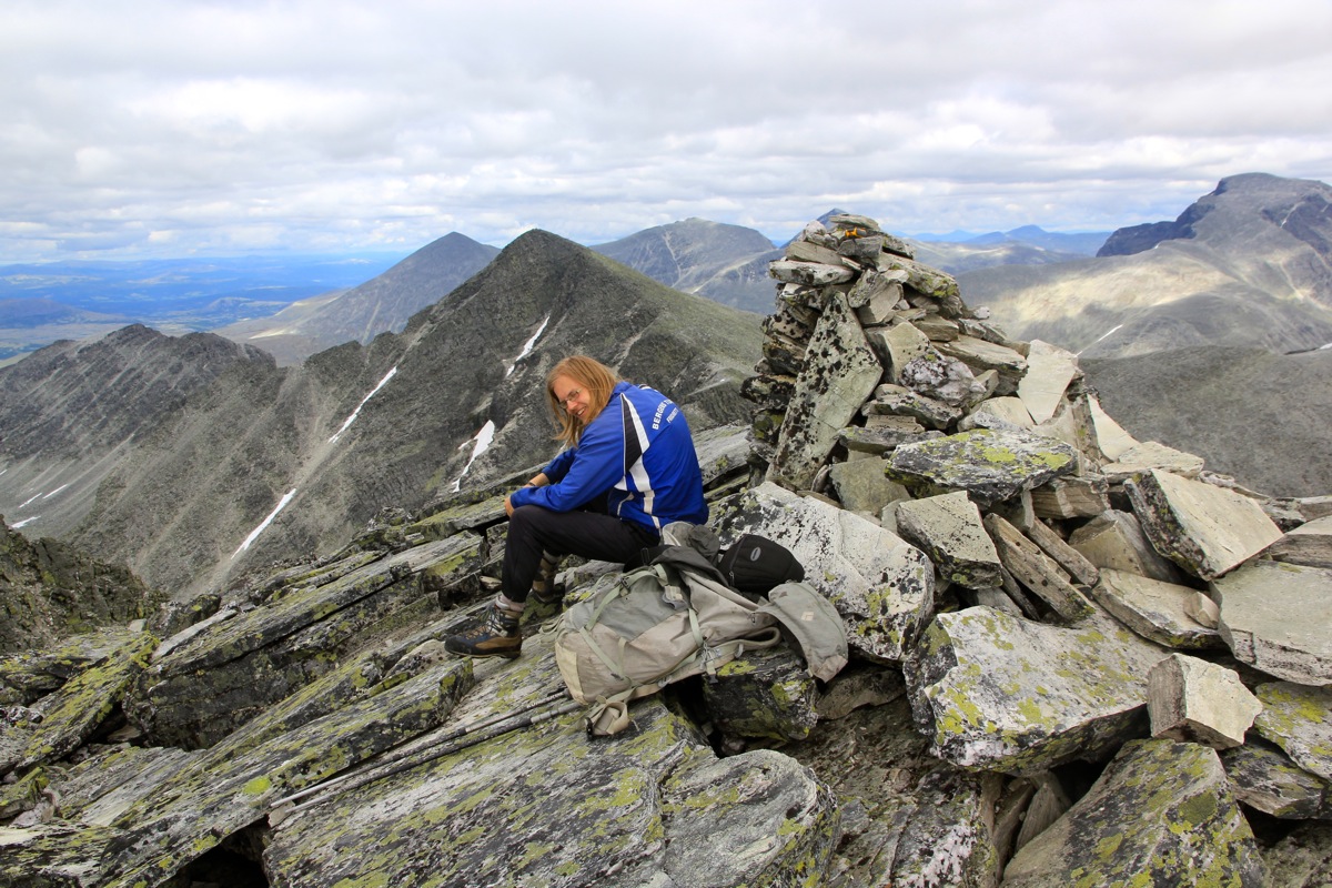
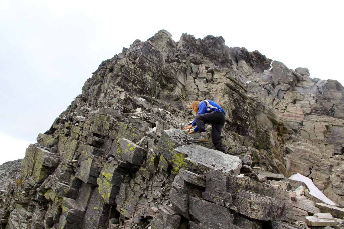
A popular variation is to climb this
mountain after Veslesmeden along the connecting ridge.
This route is (YDS) class 3, possibly only class 2+ if one circumvents the ridge (left and right) whenever
there is a steeper section. See my description of Sagtinden for additional details.
Comments:
See my trip to Sagtinden for additional comments.