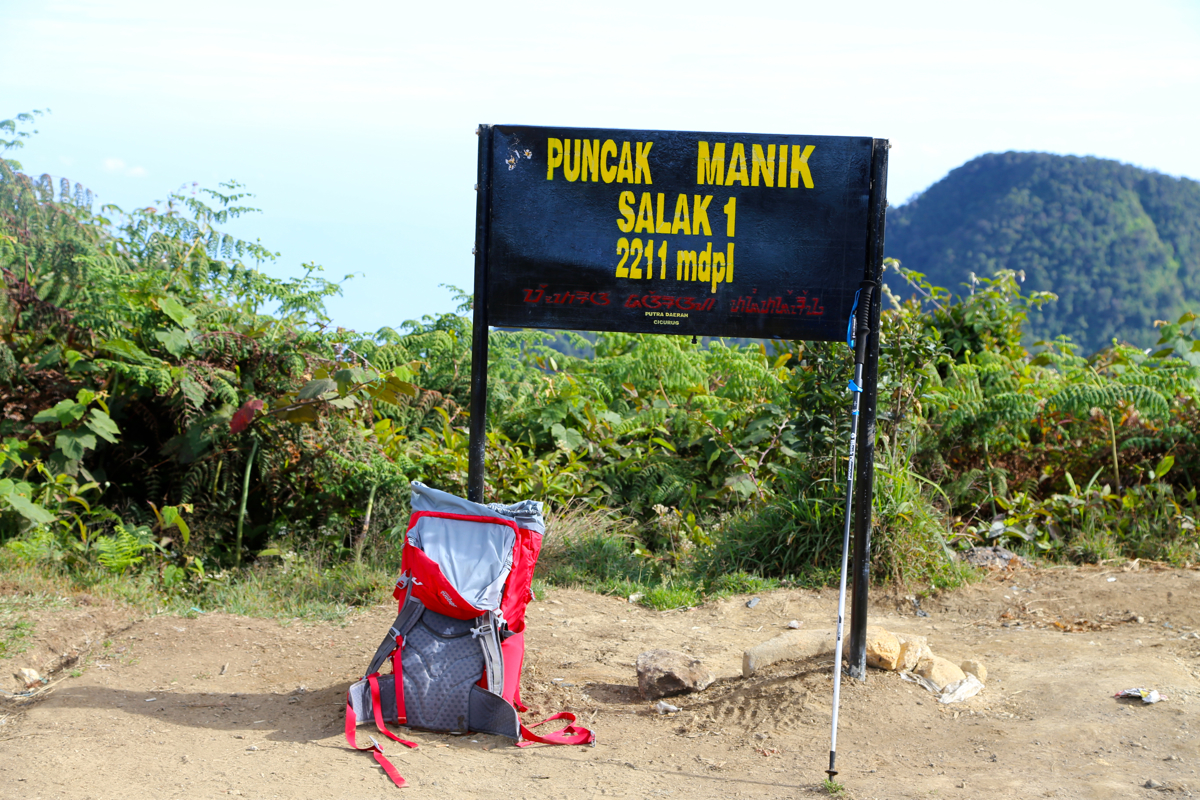
Location: South 06.71550, East 106.73388 (GPS at the summit)
Difficulty: YDS class 2
Climbed July 13. 2015.
Information:
How to get there:
The reference location is the city of Bogor, south of Jakarta.
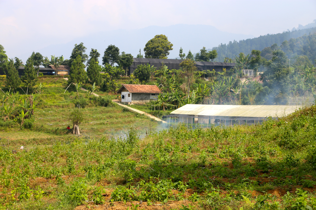
The trailhead is located in a small
farming community called Cimelati. This location
is south of Bogor and south-east of the summit. It took us a bit more than one hour to
drive there from hotel Aston Bogor. The distance is quite short, however, the traffic is
horrendous, and the roads are (in places) pretty bad. The final section of road heads directly
uphill and towards the mountain,
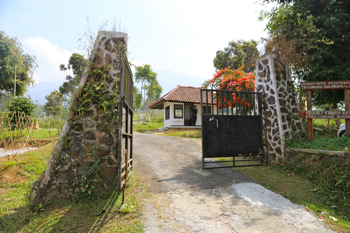
you will reach a gate
and this is where one must park and start
walking (There are some official persons on duty here). This location is
S06.74689, E106.76063, elevation about 800 meter.
Here is a quick reference and summary of climbs in the summer of 2015.
Route description:
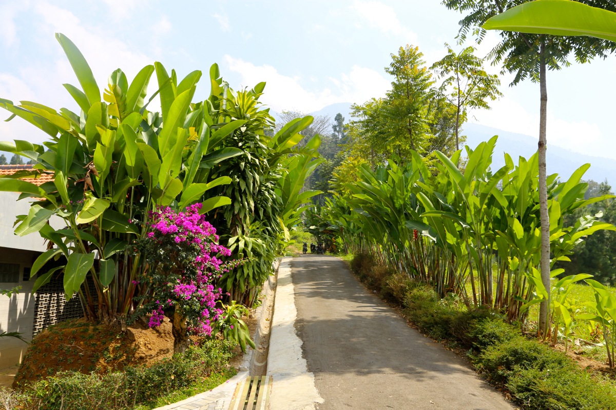
From the entrance gate, continue directly uphill on a small, paved road.
It ends after
gaining about 80 vertical meter, and directly continues as a trail. Approximately 300 meters
after the trail begins, there is a trail fork. The biggest trail forks right, however, the
correct trail here is the one that forks left. There are no signs. Higher up, there is
another vague fork, but it is pretty obvious that the route continues straigh ahead (uphill).
Finally, a third trail intersection, this time a sign tells that you should proceed straight
ahead - uphill.
The trail has a few small rest areas, named by signs on a tree as POS 1, up to POS 6.
These locations are not with equal distance between them.
The location of POS 5 is at S06.72118, E106.73843, elevation a bit above 1900 meter.
The trail continues more or less directly uphill, the last section being somewhat
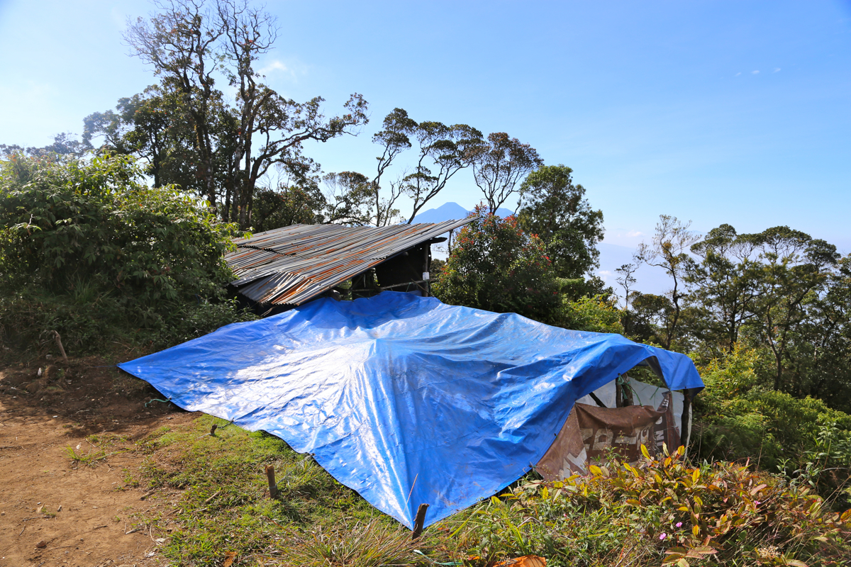
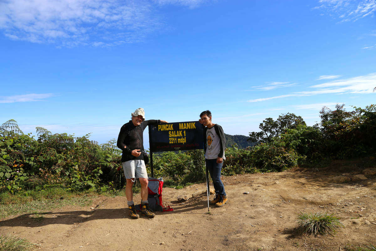
less steep. You finally pop out on a small summit plateau.
There is an old hut,
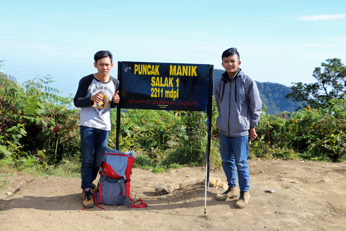
a sign that
tells you
the name of this peak and
its elevation, and a fairly good view around.
Comments:
I started out with a car and local driver, from Aston Bogor, roughly at
0445. The Ramadan is nearing its end (July 19th.) and traffic is quite
heavy already this early. We arrive at the gate around 0555 and the driver is told
to park there. I shake hand with some official in the small guard house, there is
no charge for climbing.
I then start out up the small, paved road at 0600. Higher up, just after the
road has turned into a trail, I take the right fork where the taril forks, no
sign. However, I soon conclude that this was wrong, returning to the fork, I
continue along the left branch which is the correct one. The trail has legs marked
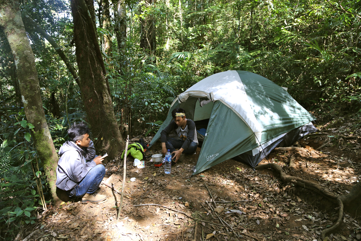
with POS N, N=1,..6. I soon pass number 1, a bit later I notice
that a tent has
been pitched at POS 3, no sign of life.
I reach POS 5 at 0800, there is still about 300 vertical meter to the summit. The summit
is mine at 0835. Soon after arrival,
two boys appear. They look really young,
but their age is claimed to be 21 and 17. They had camped in the tent and set out
for the summit this morning.
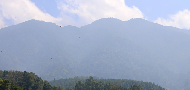
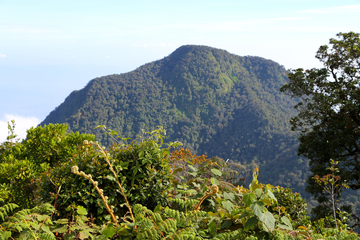
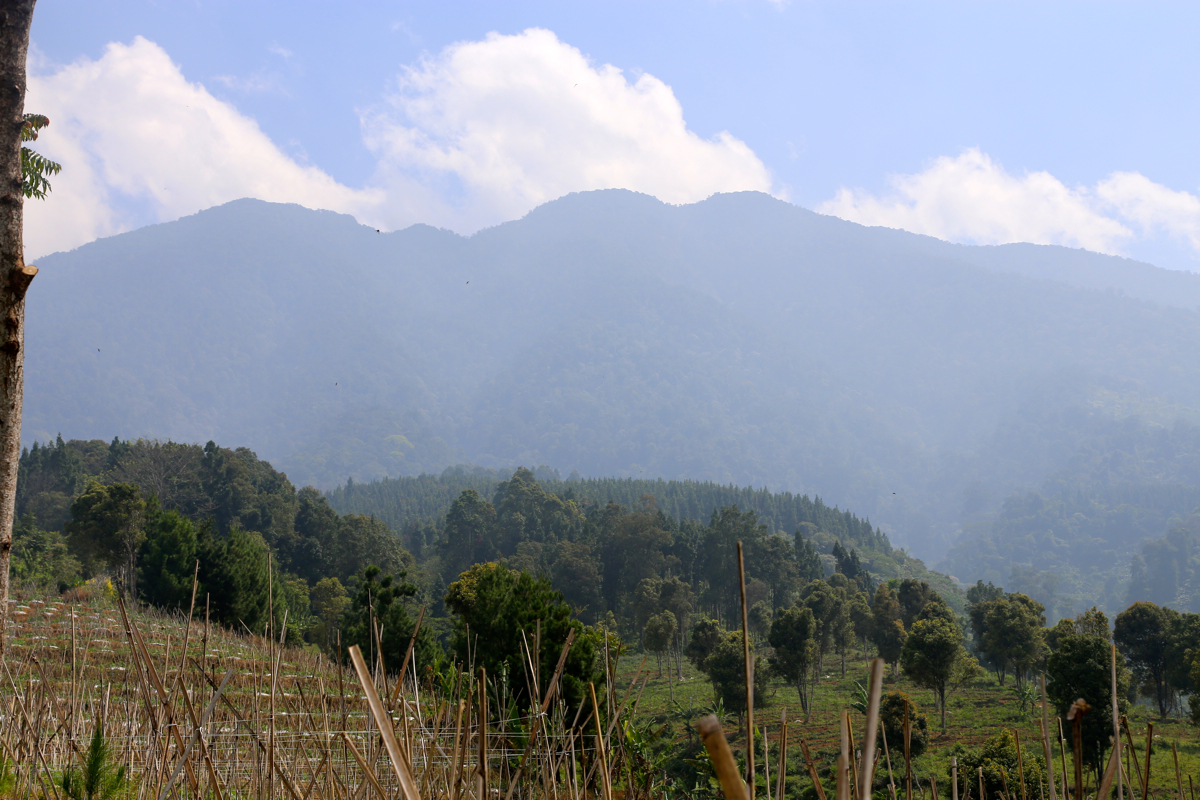
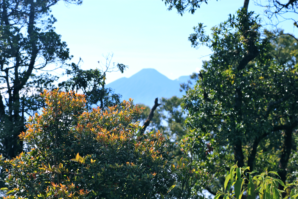
I look around, Salak 2 at 2180 is
quite dominant, it looks like one must descend quite
a bit to get across. Between some trees,
Pangrango (3019m) is also easy to spot.
I rest and look around for about 20 minutes, the weather is fine and the climb has been good.
Descending, the two boys follow along. We say goodbye at their tent, it looked like they wanted
to prepare lunch. Continuing downhill, I reach the gate at 1100, so 30 minutes faster down.
My driver is ready to go and we arrive back at Aston Bogor around 1215.