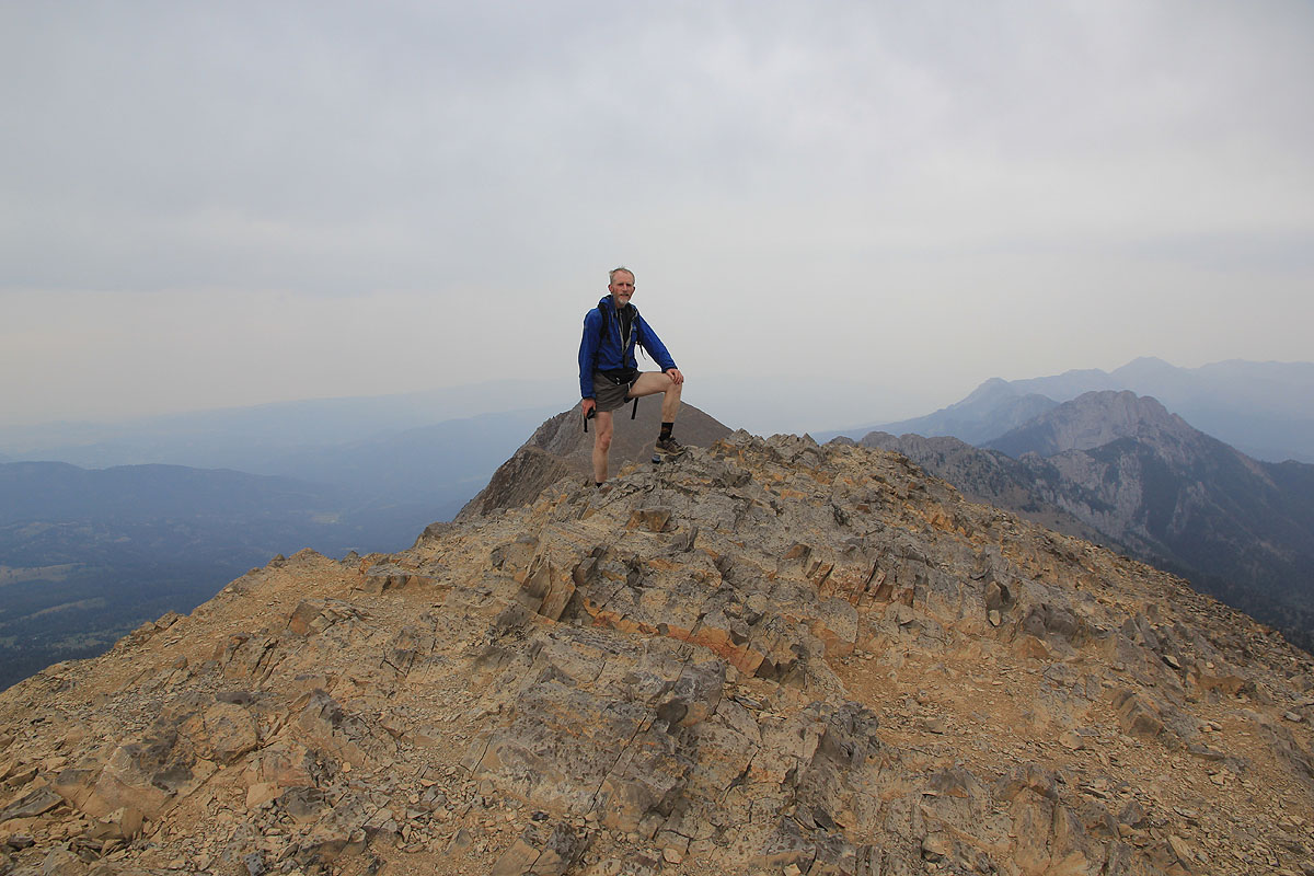
Location: North 45.89579, West 110.96854 (GPS at the summit)
Difficulty: YDS class 1.
Climbed August 10. 2012
Information:
How to get there:
This mountain is named in honor of a Shoshone woman that travelled with the
Lewis and Clark expedition from South Dakota to the Pacific (and back). She
acted as an interpreter and guide and has become quite famous as part of early
American history.
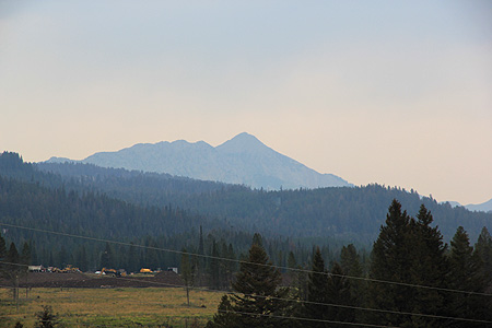
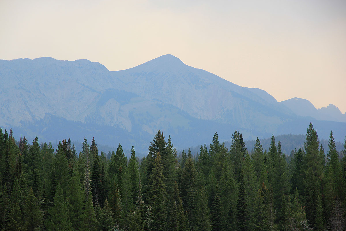
From I-90, junction 306 (in Bozeman Montana), take US 86 northeast for approximately 20 miles.
The mountain is visible in
the distance up front on your left hand side.
After a bit of downhill, turn left onto Fairy Lake Road (signposted Fairy Lake)
and follow this road 6 miles to the Fairy Lake trailhead. This road is dirt, but
ok for normal cars. One should fork right after about 1 mile. Park here at location
N45.90693, W110.96052, elevation about 2320 meter.
Here is a quick reference and summary of all
peaks visited on my 2012 summertrip to the USA.
Route description:
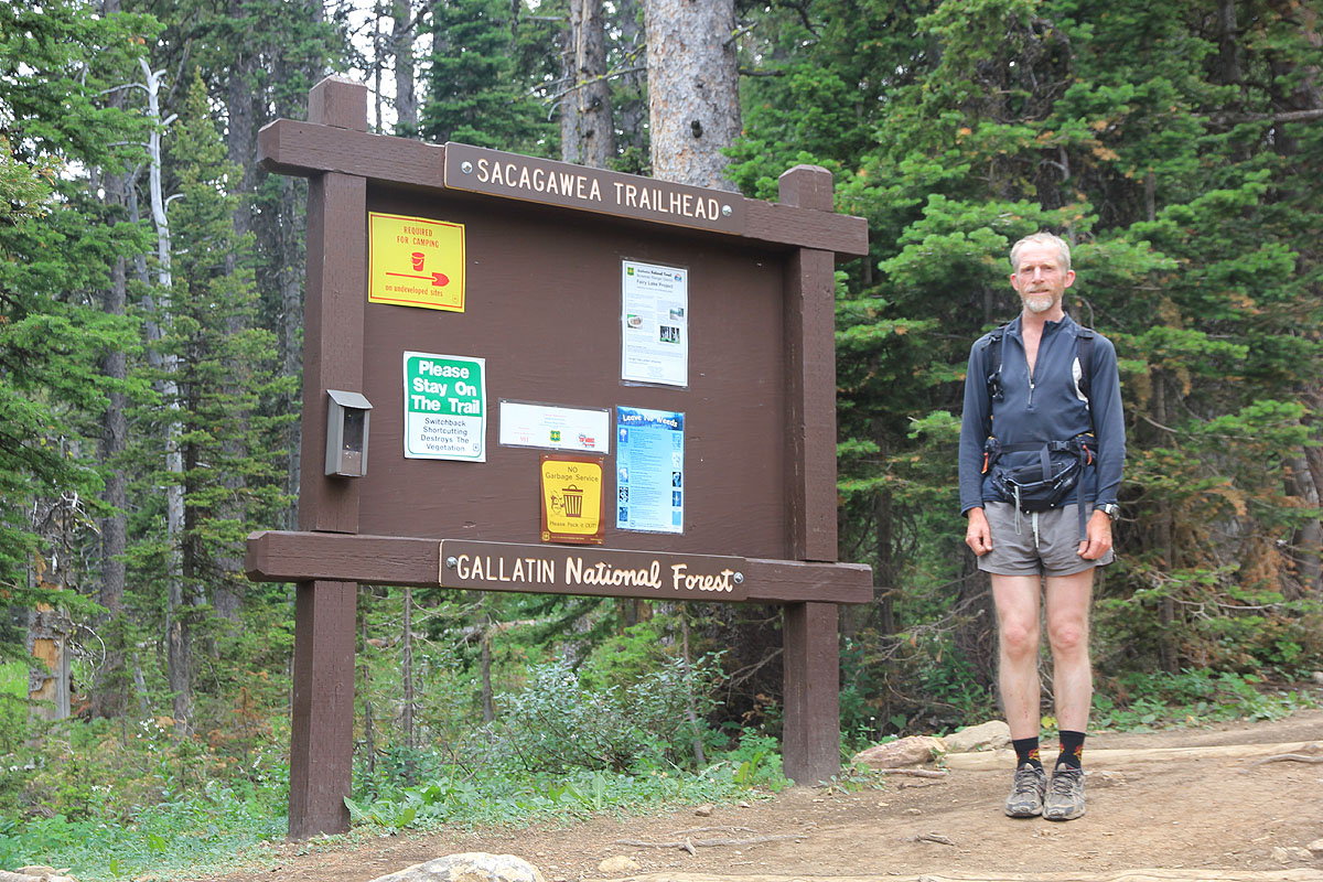
First, continue uphill on a short section of road that was closed to traffic
when we were there. You will (shortly) arrive
at the proper trailhead with signs,
a parking area and toilet facilities.
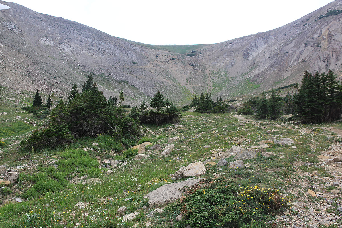
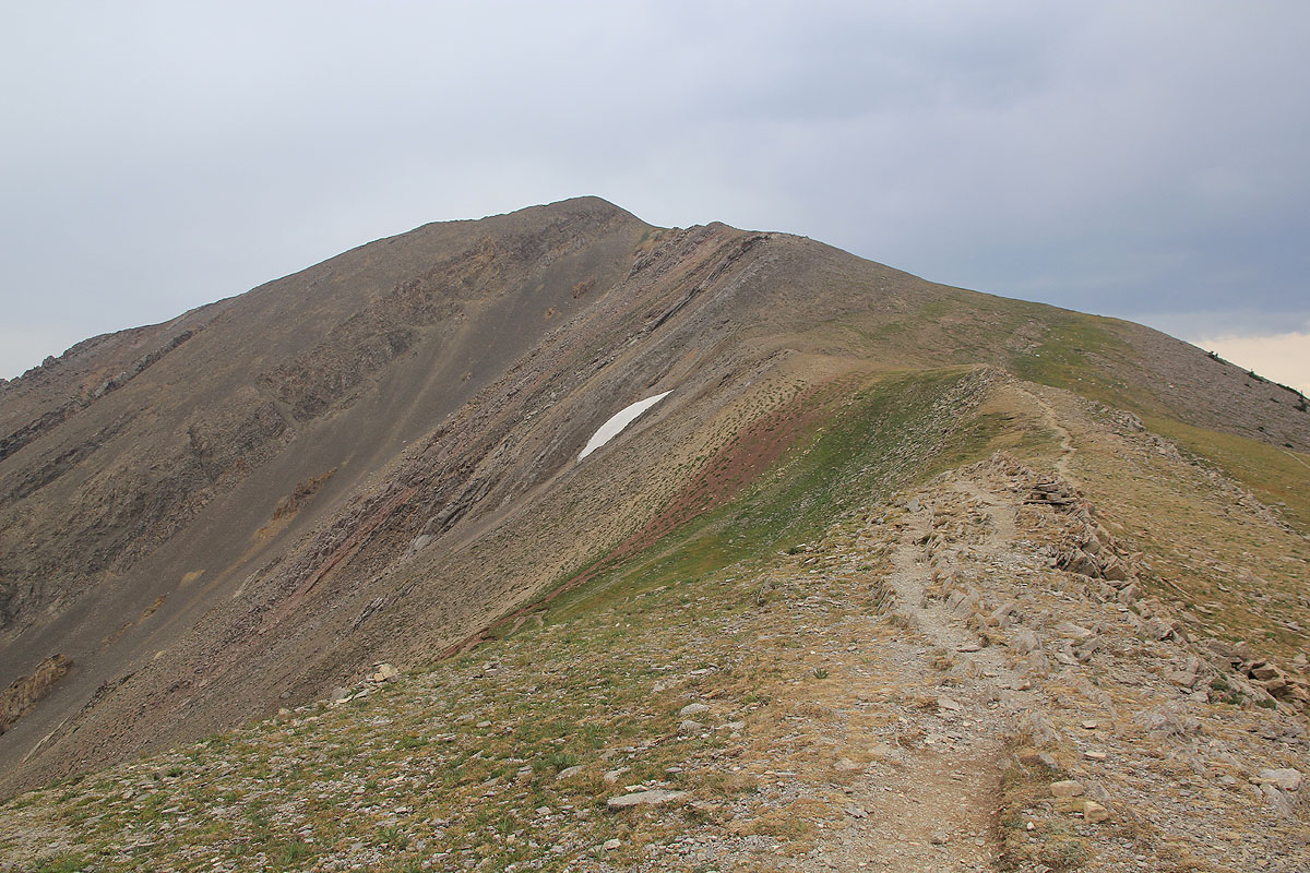
A good trail starts uphill through forest, then zig-zags higher in order to
reach a small, open valley. The route continues to the very bottom (upper end)
of this little basin, then
more zig-zags as it climbs up the steeper slope to
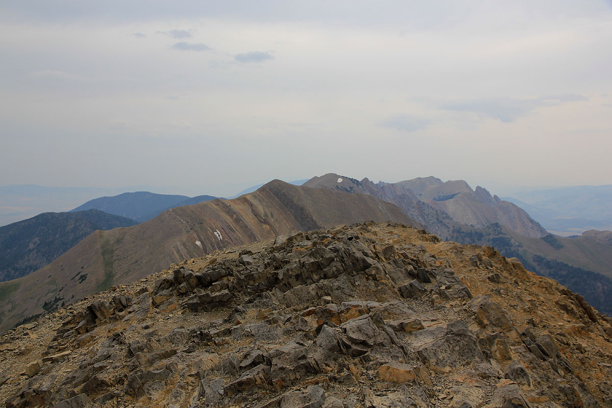
reach the col. Next, follow the ridge left,
subsequently contouring into the
right hand side (west slope) of the mountain, then make the short final
ascent from its south side to the summit. Comments:
I did this hike with Rob woodall. We were in transit between Crazy peak and Cloud
Peak and this hike was an easy side trip on a day where we also hooked up
with Edward Earl for lunch.
We left the car at 1525 and started up the last short part of the road (closed off
to vehicles) in order to find the proper trailhead with signs, a parking area and
toilet facilities.
The hike was pretty straightforward
and we made the summit by 1635.
The weather looked like it would detoriate
and we left by 1640, reaching the car at 1730.
Our rental car was seriously low on fuel and we roll almost back to the village of Bozeman
before the situation is resolved.