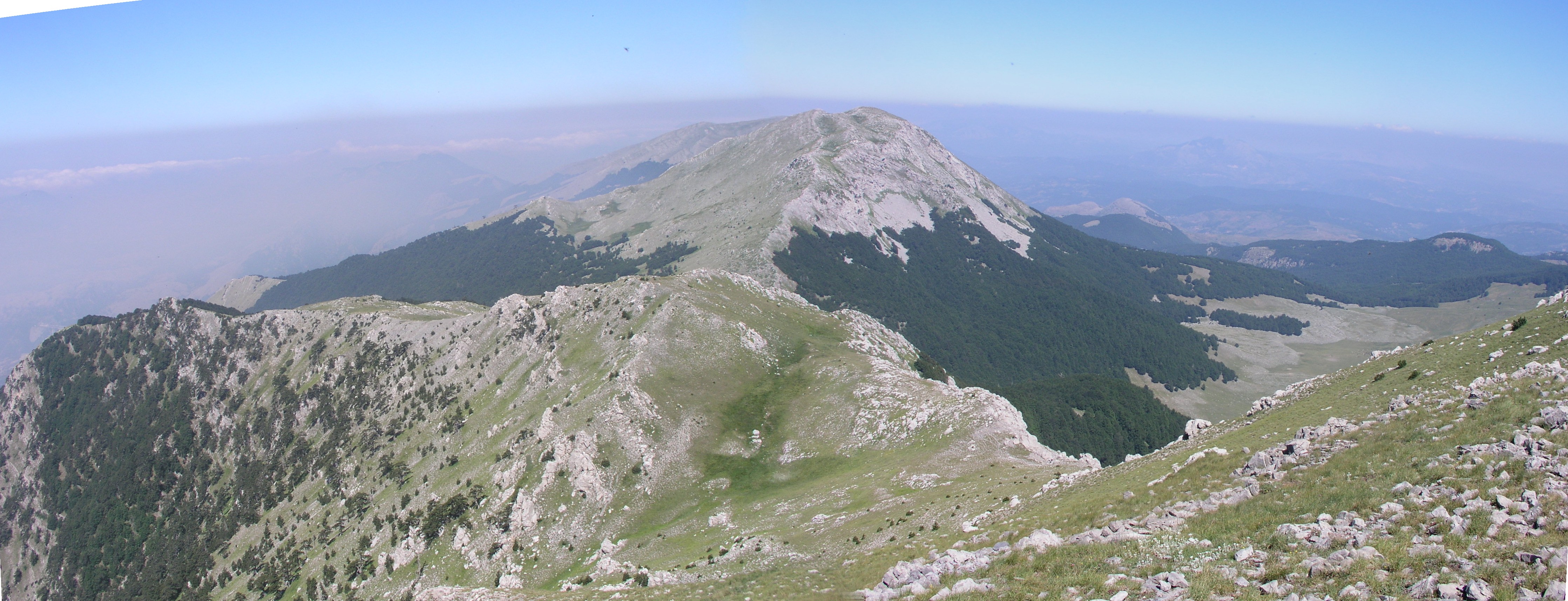
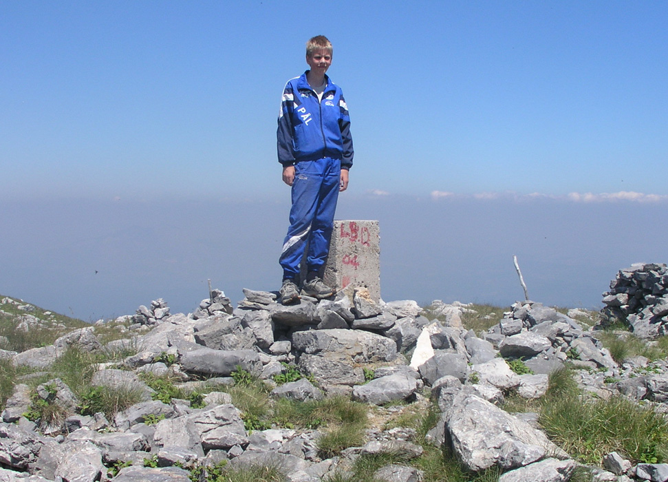
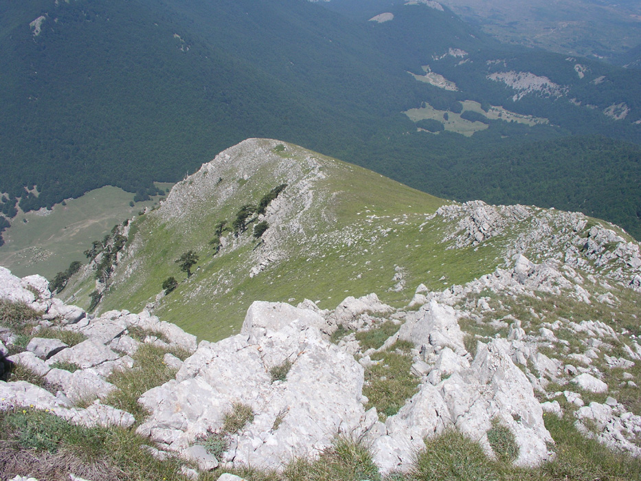
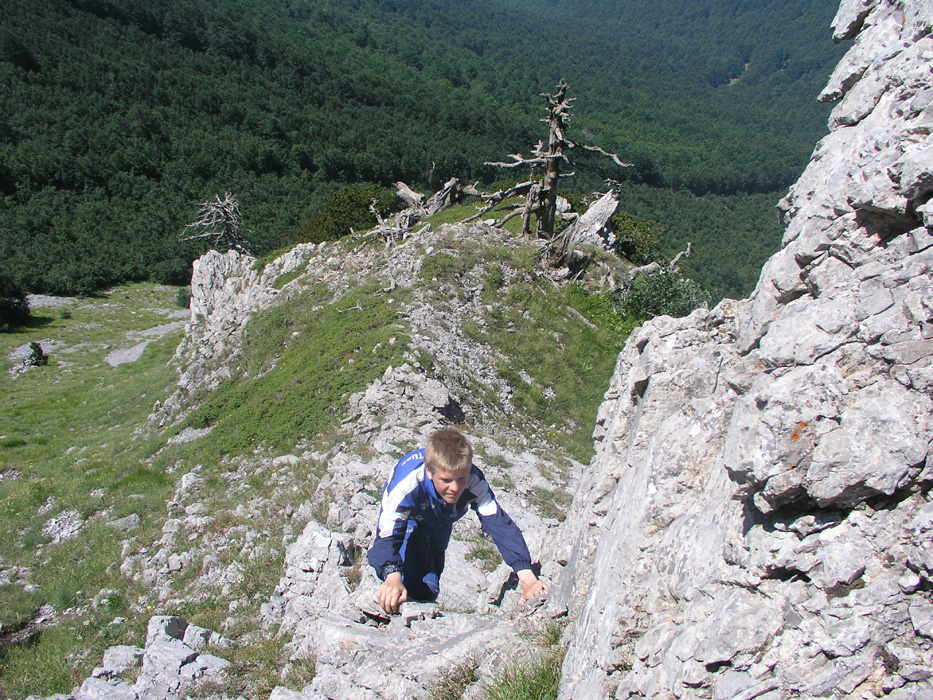
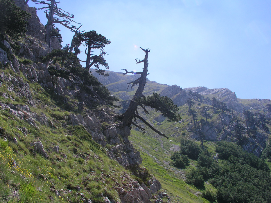
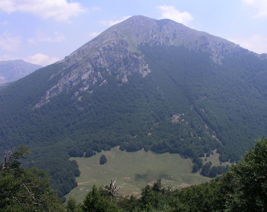
Monte Pollino

  • Monte Pollino
  • 2248 m
  • Primary factor 279 m
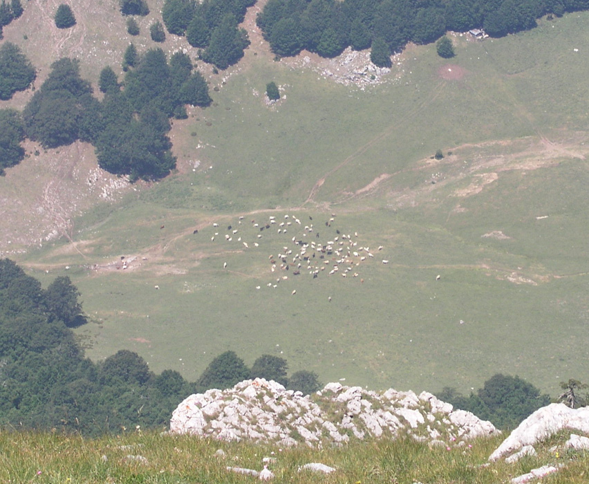
  • Parco Nazionale del Pollino, Italy
  • Location: North 39:54.459, East 016:11.309 (GPS at the summit)
  • Saddle: Fossa del Lupo, North 39:53.975, East 016:11.902.
  • Difficulty: YDS class 1 (easiest route)
  • Climbed July 20. 2005

Information:

How to get there: See the description under Serra Dolcedorme.
Route description: The easiest route prodceeds from the trailhead described under the Serra del Dolcedorme entry. Proceed up the trail from the road, across the small pass Colle Dell Impiso, and downhill to the grassy area in a small, nice valley. The elevation here is 1460 m, the location is N39:55.746, E016:10.306. Here the trail forks. the left trail is the one to use for climbing Serra Dolcedorme. In order to climb Monte Pellino directly, take the right fork and follow it up to the col named Colle Gaudolino, elevation 1695 meter, location N39:54.778, E016:10.562. (Map elevation may be listed at 1684 meter.) Proceed to the east side of the col (the Monte Pollino side) and locate a broad trail that heads uphill, well marked with red arrows etc. This trail gains the south-west ridge of Monte Pellino, then follows this ridge to the summit.
Direct from the col: One may climb Pollino directly from Colle Gaudolino. Head up along the trail about 100 meter, then bushwalk directly up the slippery (leafes) slope. When hitting the steeper rock above, traverse right and continue the ascent until you locate a gully that runs upwards slightly left as viewed from below. There is an enourmous dead tree near the lower end of this gully. Ascend this gully to the top. You are now on the main west ridge of Pollini, continue on top of the ridge to the summit. Bypass any minor difficulties to your left side (north). This route is YDS class 2, since there is no trail, however no climbing is required.
Comments: I did this hike with my son Pål Jørgen, age 16. We did this peak as part of our "Grand Traverse de Pollino". After a nice 30 minute break on the summit of Serra Dolcedorme, we started out for Pollino at 1100, descending into the col that separates the two summits and climbed the east ridge of Monte Pollino, reaching the summit at 1200. After a brief rest we continued directly west towards Colle Gaudolino. When suddenly looking down into this deep pass seeing the cattle on the grass below, we were surprised by how steep this side was. Our map, with only 100 meter contour lines did not really indicate that this 500 meter drop had near vertical sections. Only after descending did we notice what must be the normal trail gaining the south-west ridge from Colle Gaudolino. We scrambled down a gully that connected well with the somewhat more gentle, but very slippery slope below among the trees, see the description above. The general conditions still made the descent from Pollino to the Colle Gaudolino take one hour, with arrival in the col at 1300.

The M5 trip continued with its final "Grand Traverse" to Serra del Prete.

Resources: