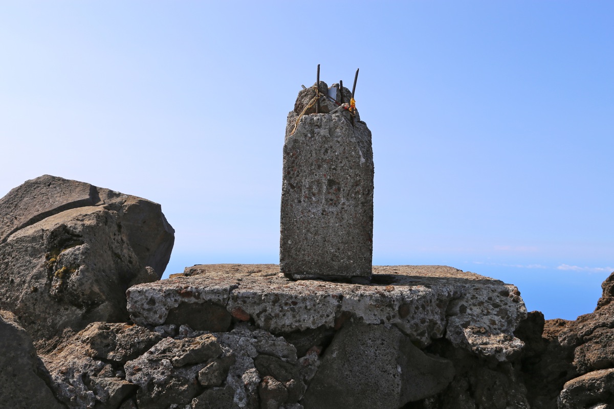
Location: North 38.46872, West 028.39933 (GPS on the summit)
Difficulty: YDS class 2+
Climbed July 22. 2014.
Information:
Here is a quick summary of my climbs in the Azores islands.
How to get there:
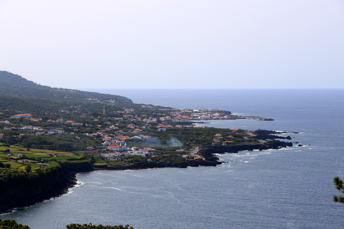
One may start from the town of Madalena, then take the road that heads
up the mountain and follow signs for Pico. If coming with a rental car by ferry
(as I did), then the staring point is the town of Sao Roque. From here, locate the
mountain road that heads uphill at the south side of town. Drive uphill until you
are on the main crest, locate the road signed for Pico that forks right. Drive this
road 10.6 km, then tale a smaller sideroad that forks left (signed Montanha Pico), follow
this road an additional 5.1 km crossing 5 cattle guards along the way. You are now
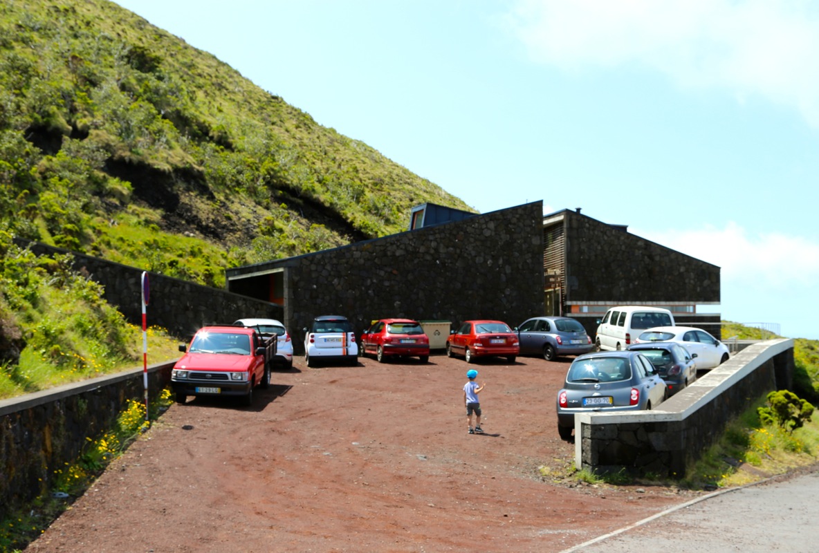
at the mountain house where the trailhead is located. This is location
N38.47088, W021.42641, elevation about 1240 meter.
Route description:
The route starts with the mountain house located next to the parking.
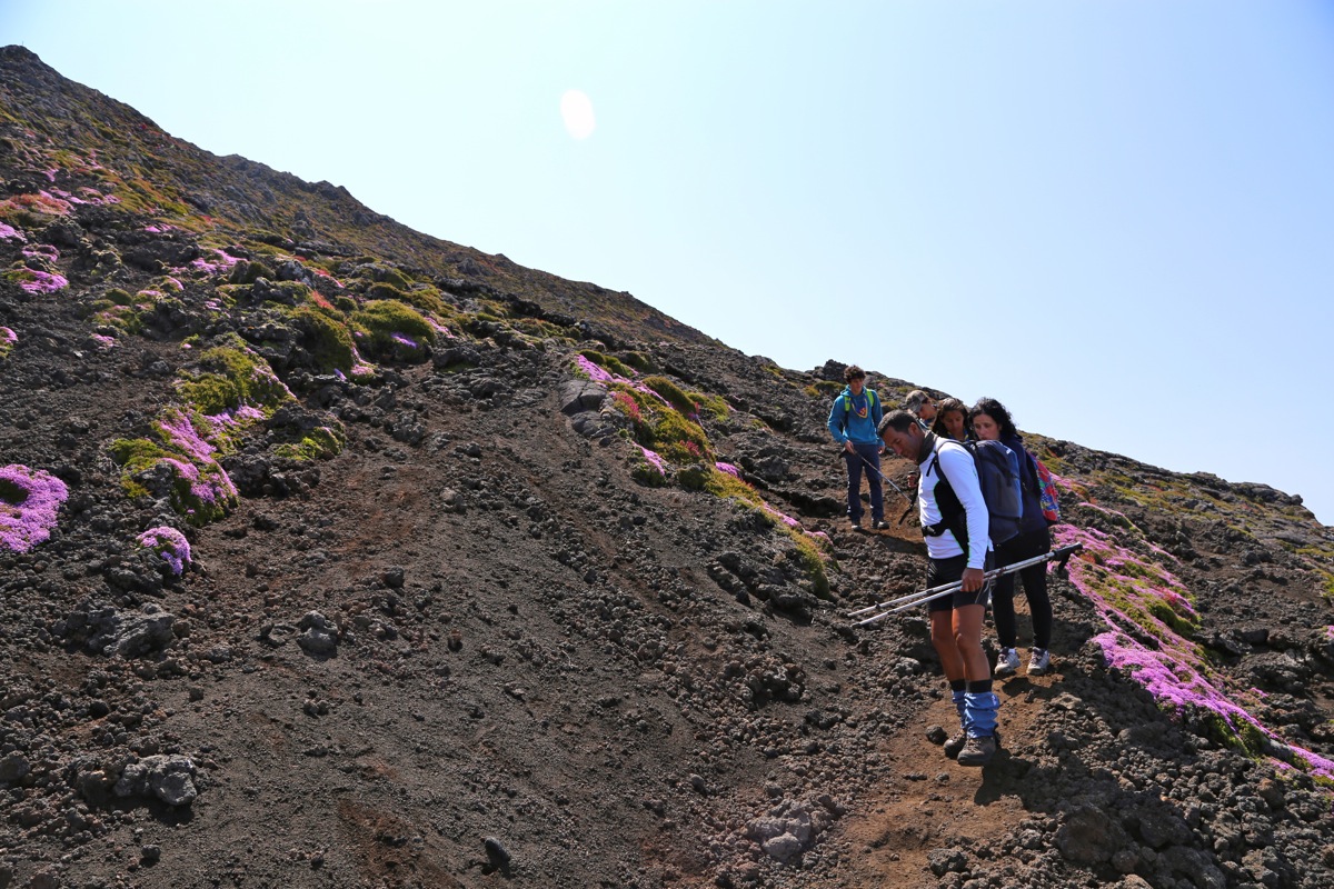
The first part is actually some stairs. The trail then continues uphill, then more left.
The trail is marked with poles numered from 1 to 45. Most of the time, one will see
from one pole to the next. There are many small, local variations. One may go directly
uphill and need to touch rock with hands or follow a more zig-zag path with easier footing.
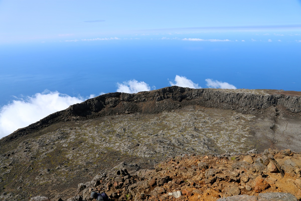
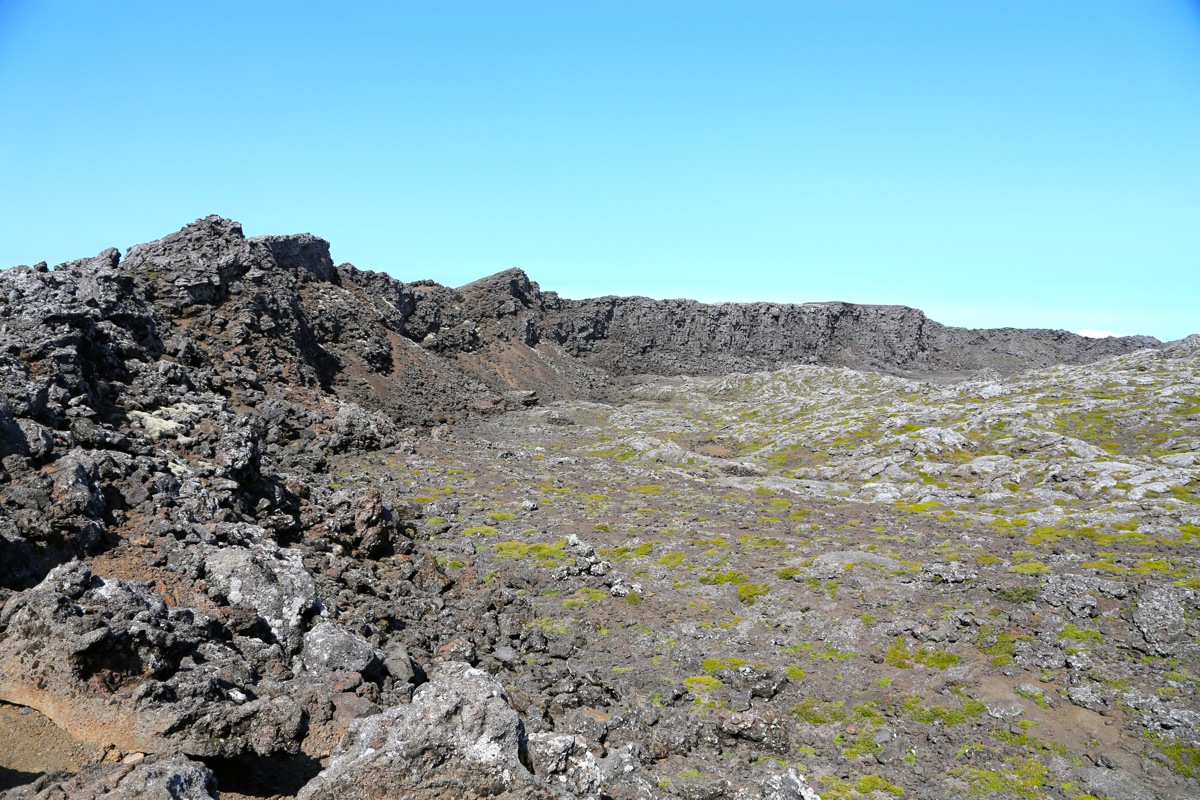
There are no difficulties and the hike is straightforward. The last pole, number 45, is located
at the rim of a very shallow crater.
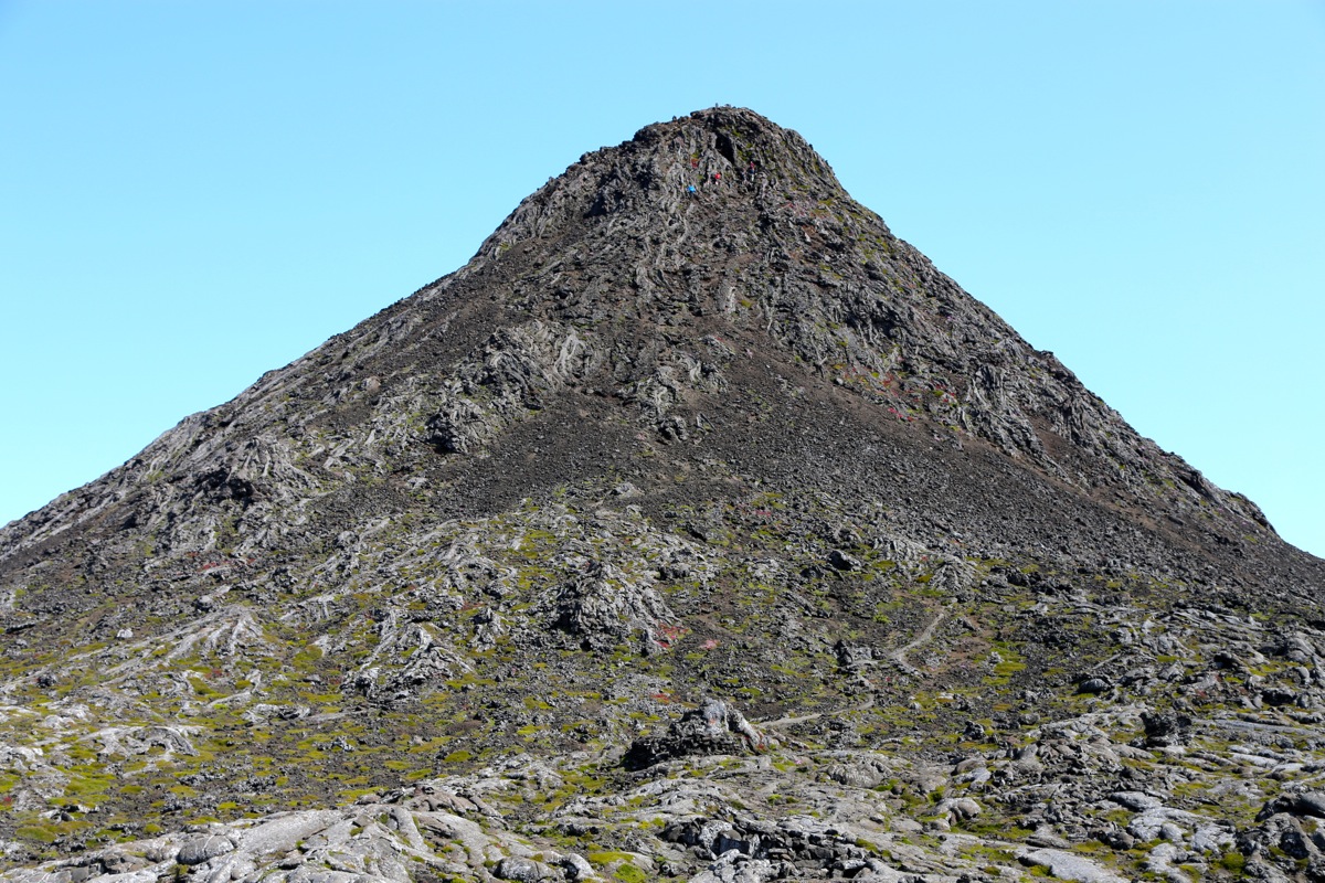
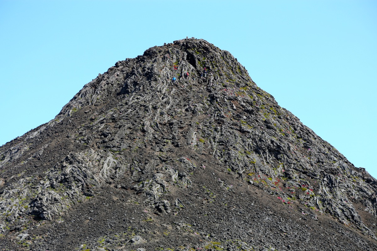
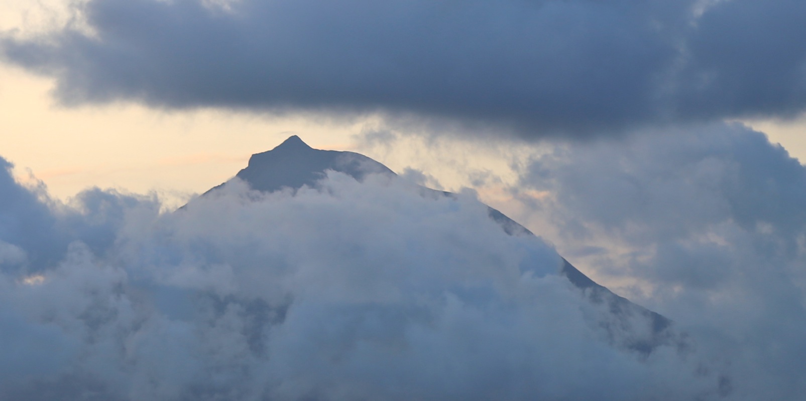
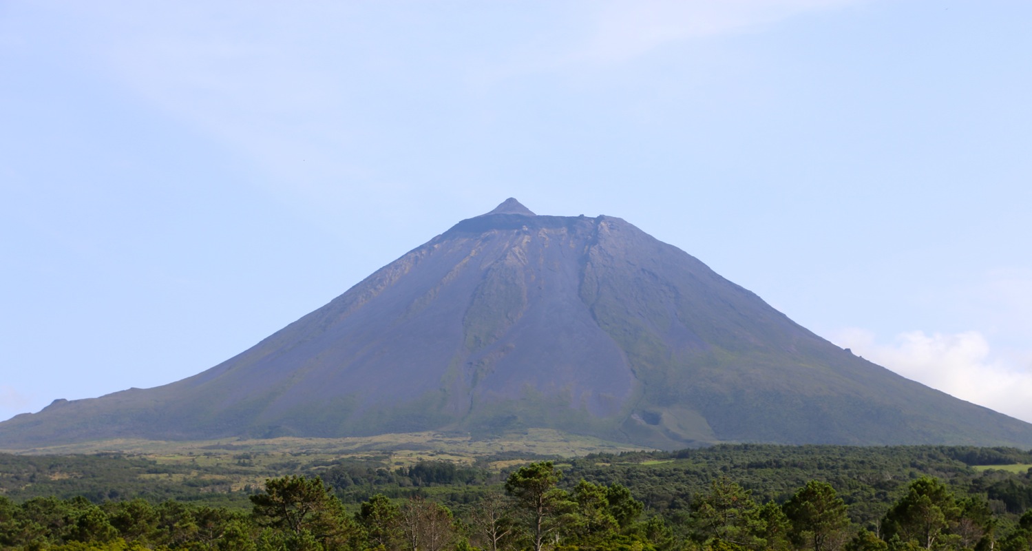
The final summit cone is called Piquinho. It rises about 90 meter
above the crater floor. Head up a clear zig-zag path that will take you
to a very visible crack/gully just below the summit.
This way, no climbing
is required. There are some sulphur smell since warm air is leaking out
among the rocks.
Comments:
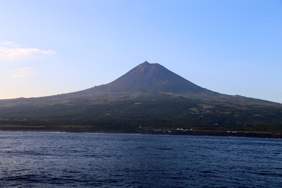
I left Faial with the 0700 ferry and reached Sao Roque do Pico around 0815.
The ferry could take only about 10 cars. I had asked about going on Sunday as well as
Monday, but no space for my car. Today, Tuesday was the first possible day. The loading of
cars is complicated, each car must go backwards onborad.
The cars must be tied down, there
may be big waves that could otherwise make the cars slide around. Pico was still at
least partially in clouds, but the weather looked promising.
The drive was easy
and I parked near the mountain house a
little before 0900. A certain amount of buraucracy now
followed. It turned out that one needed to sign in/out for the climb. In order to do so, one
first should pay 10 Euros. Next, listen to a local "ranger" that would tell you (at length!)
about the trail and about all possible dangers and troubles that might occur.
In particular, she warned against climbing the final Piquinho. Many accidents did occur there and
it was steep and difficult. A rescue would cost me more than 1000 Euros.
She specifically asked
if I carried (at least) 2 liter of water. I nodded, knowing that my water bottle contained about
0.7 liter. Next, she asked me o confirm that I carried enough food. I again nodded, knowing
that I carried none. Finally, I could sign in and also write the time of my return. The time was
about 0915, so I wrote 1400 (almost 5 hours) for a return time. She was NOT amused, pointing out
that it would take me about 5 hours to reach the summit.
Enough? Oh no, next, all climbers should go downstairs and watch a movie. This movie was more or
less a repeat of what had already been lectured. It seems excessive with all this, after all, in most
of Europe there is no such excessive attention to safety etc.
I was finally on my way at 0915 and quickly caught up with parties ahead.
I arrived at the crater rim (pole 45) after 1:30.
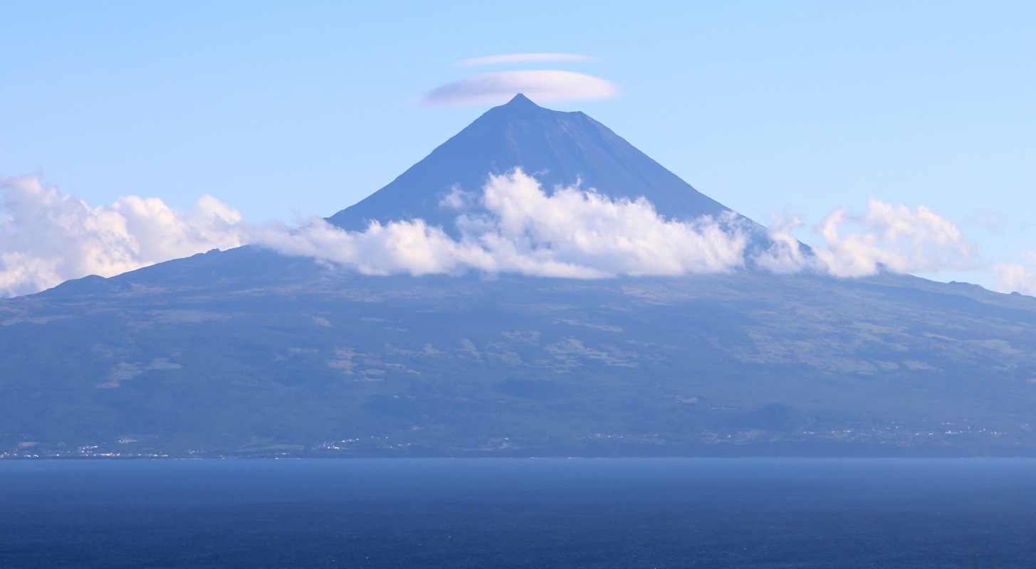
The sun was shiing and there were no clouds. A very nice day indeed.
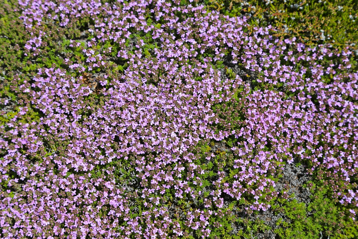
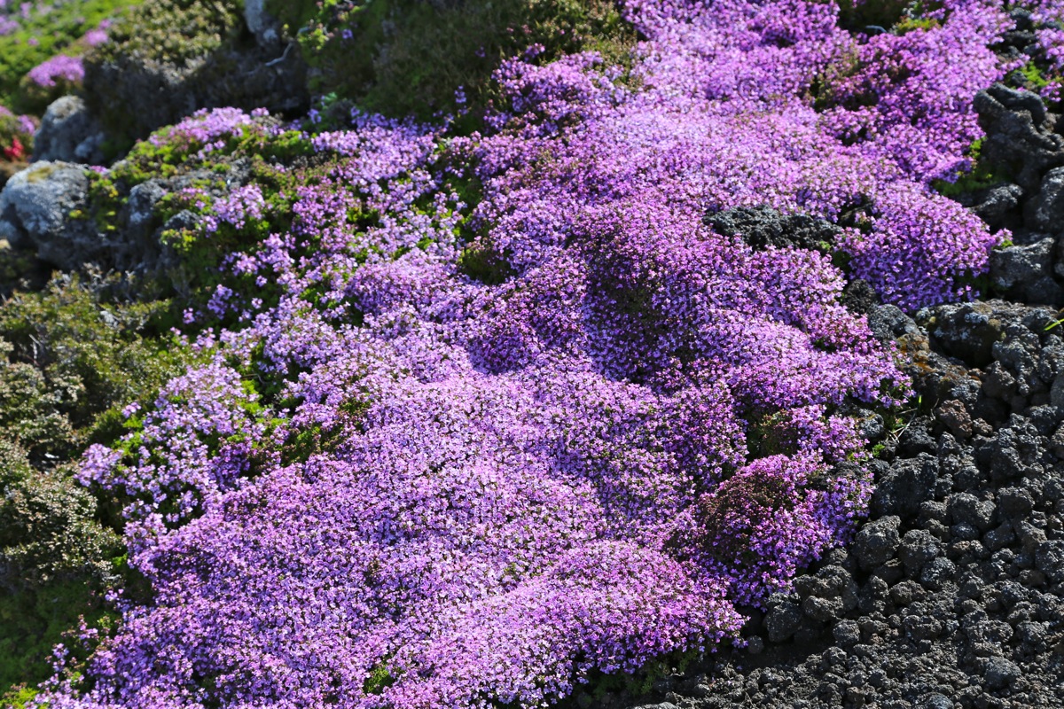
The upper part of the mountain had large areas covered
by a nice red flower, in many places like
a blanket.
This flower reminded me about the Norwegian "røsslyng", as seen in many Norwegian mountains.
It was fun gto see Piquinho, the final hill before the summit. I continued directly and finished
my climb by going to the right of the normal route, since 4-5 people was blocking the
path just as I arrived. The final few meter that I followed was YDS class 3, however, easily
avoided by following up the very clear crack going left.
Arriving at the summit
in 1:45, seemed pretty ok, the view and weather was close to perfect.
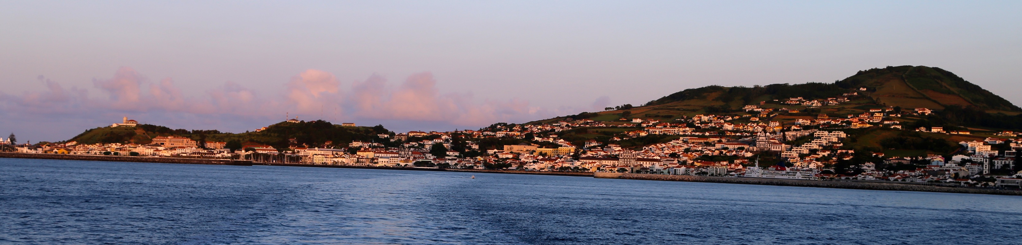
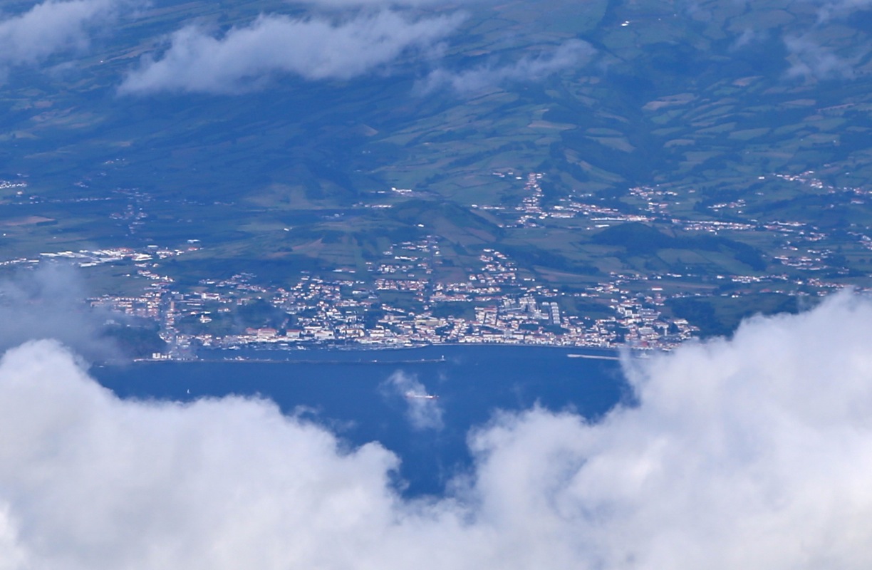
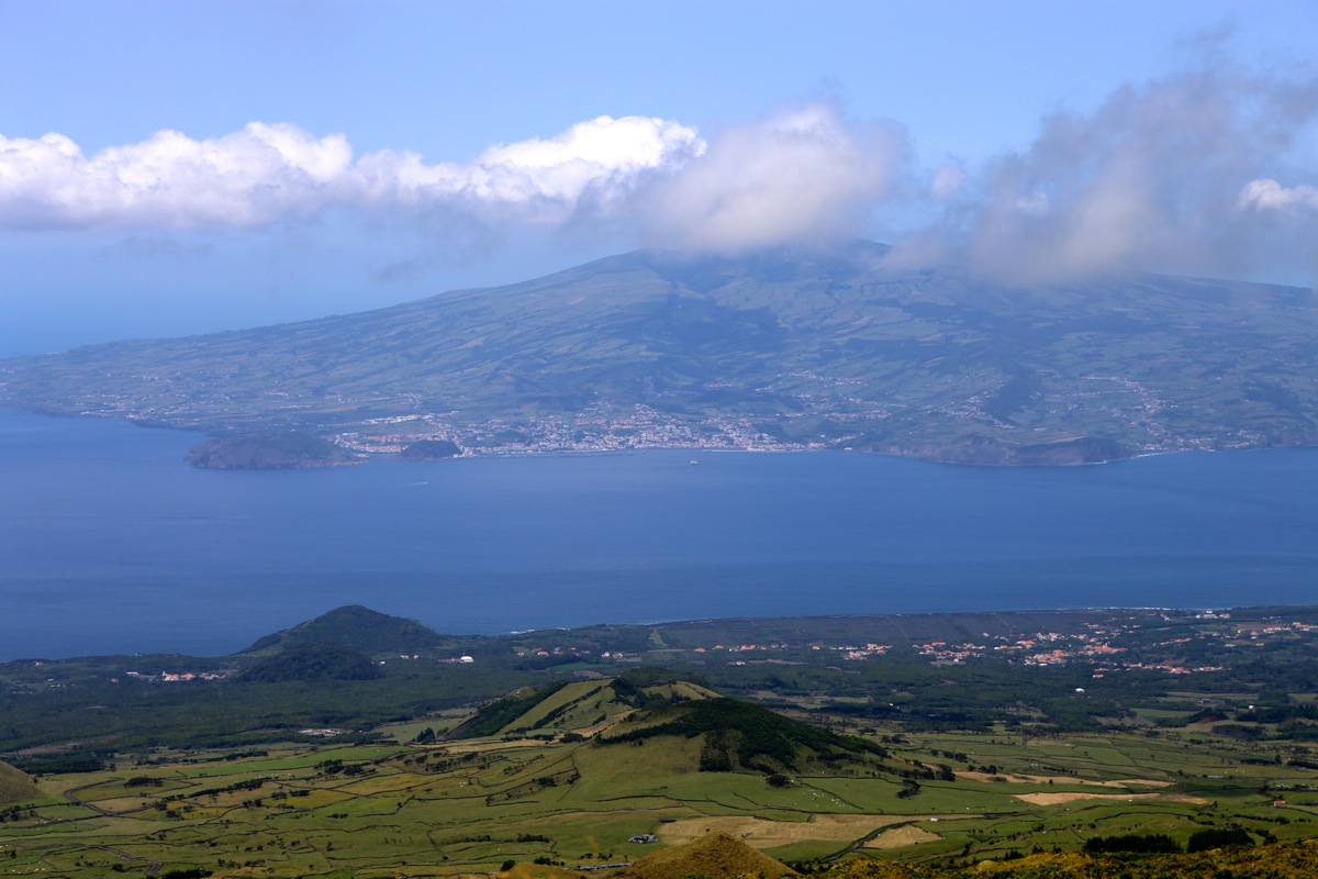
I could easily see our hotel back in Horta on the island of Failal.
I spent 30 minutes before heading back down. I was back down by 1250,
picking a gentle zig-zag route
for my descent.
The ferry back to Horta on Faial did not leave before 2150, I first explored the rest of the island,
including 2 more tops exceeding 1000 meter.
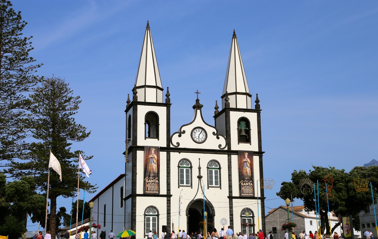
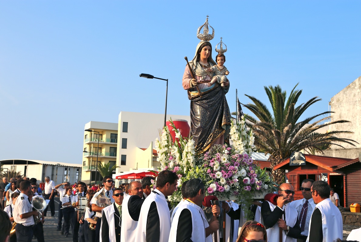
Later, I drove to Madalena and ran into some large
religious festival.
I did find a good place for dinner and still returned with time to spare
for my late ferry.
