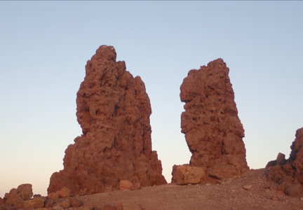
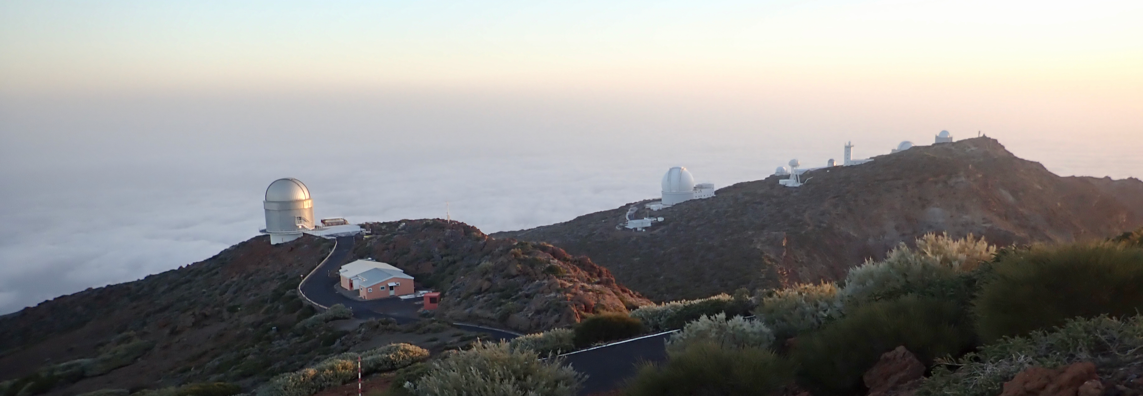
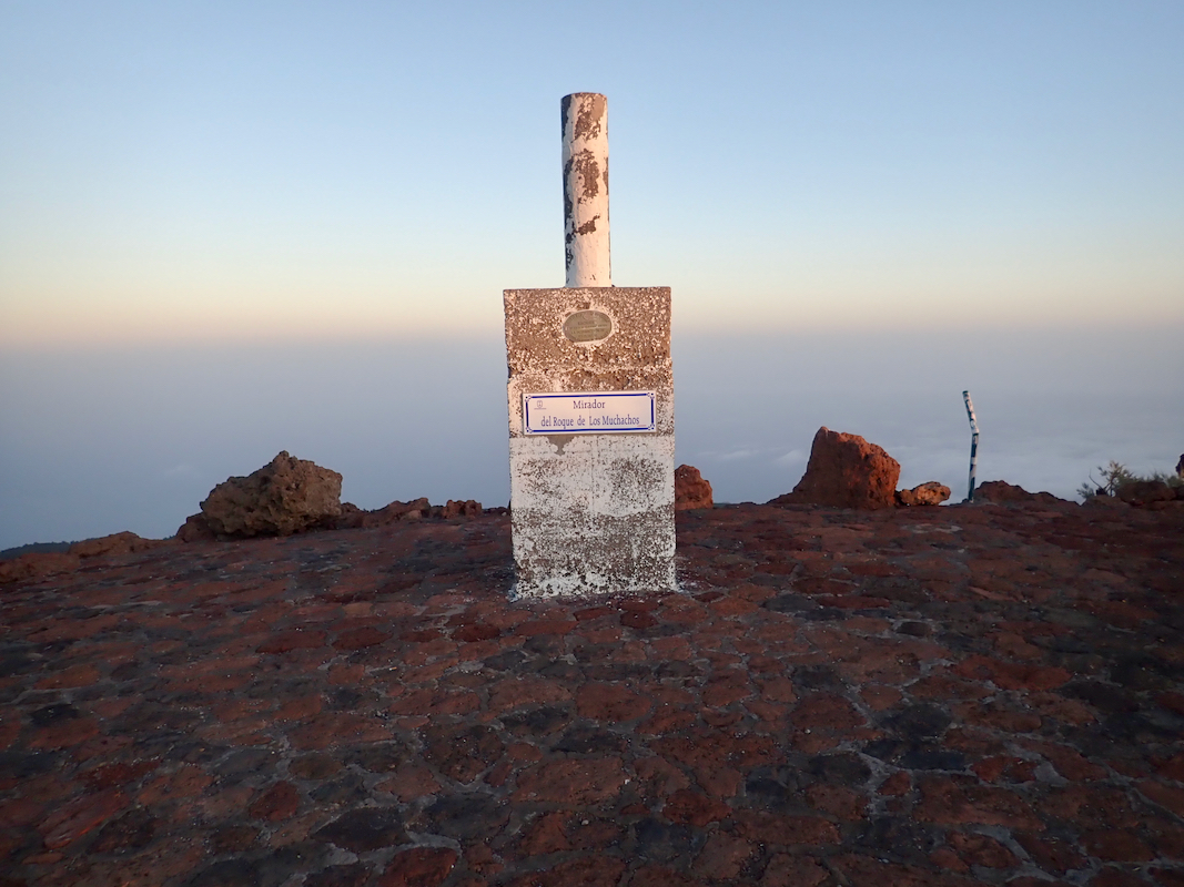
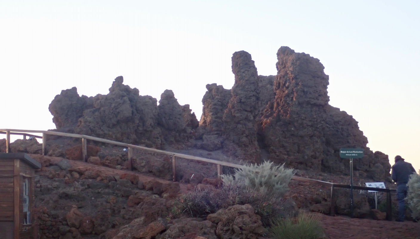
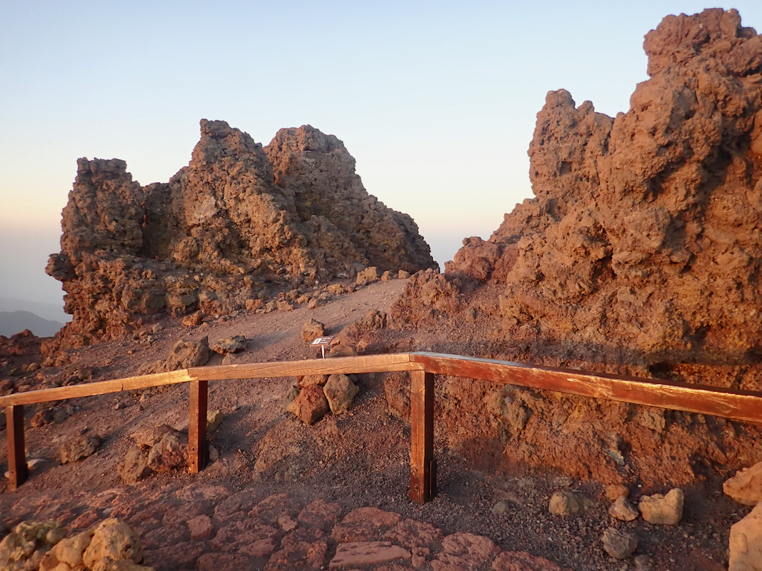
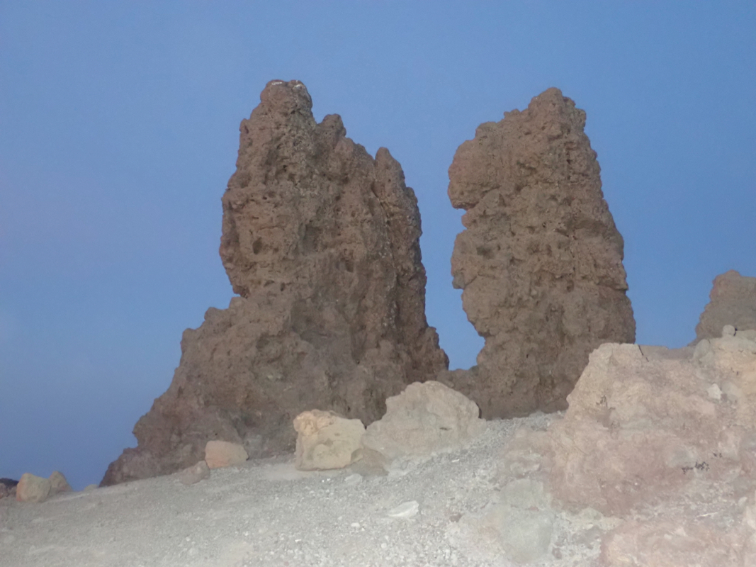
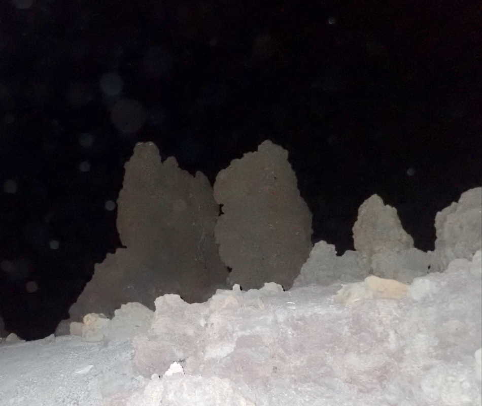
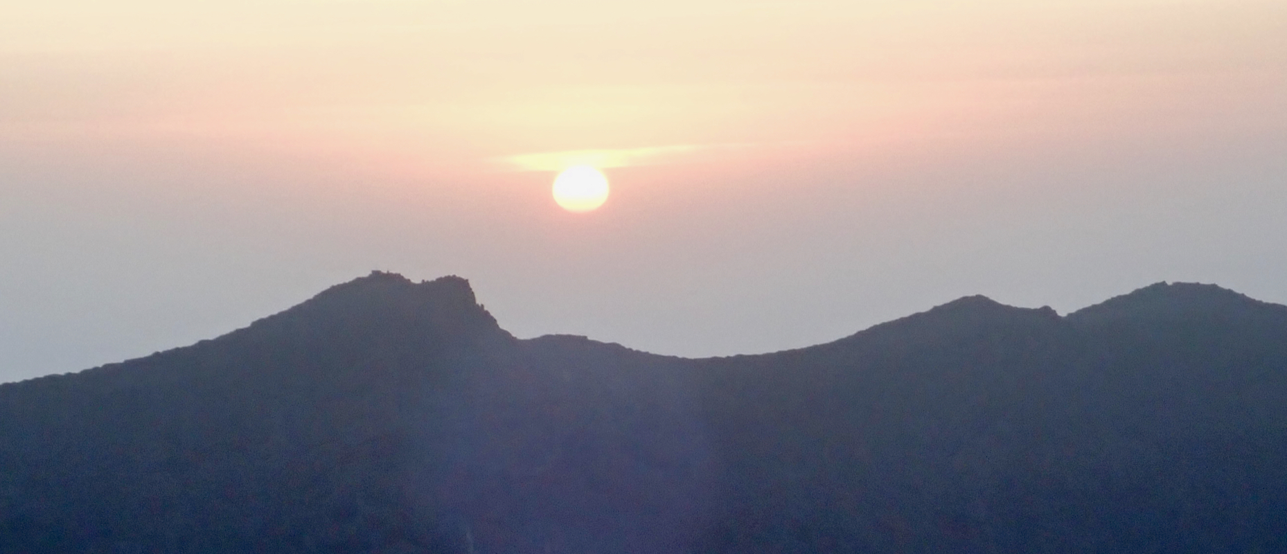
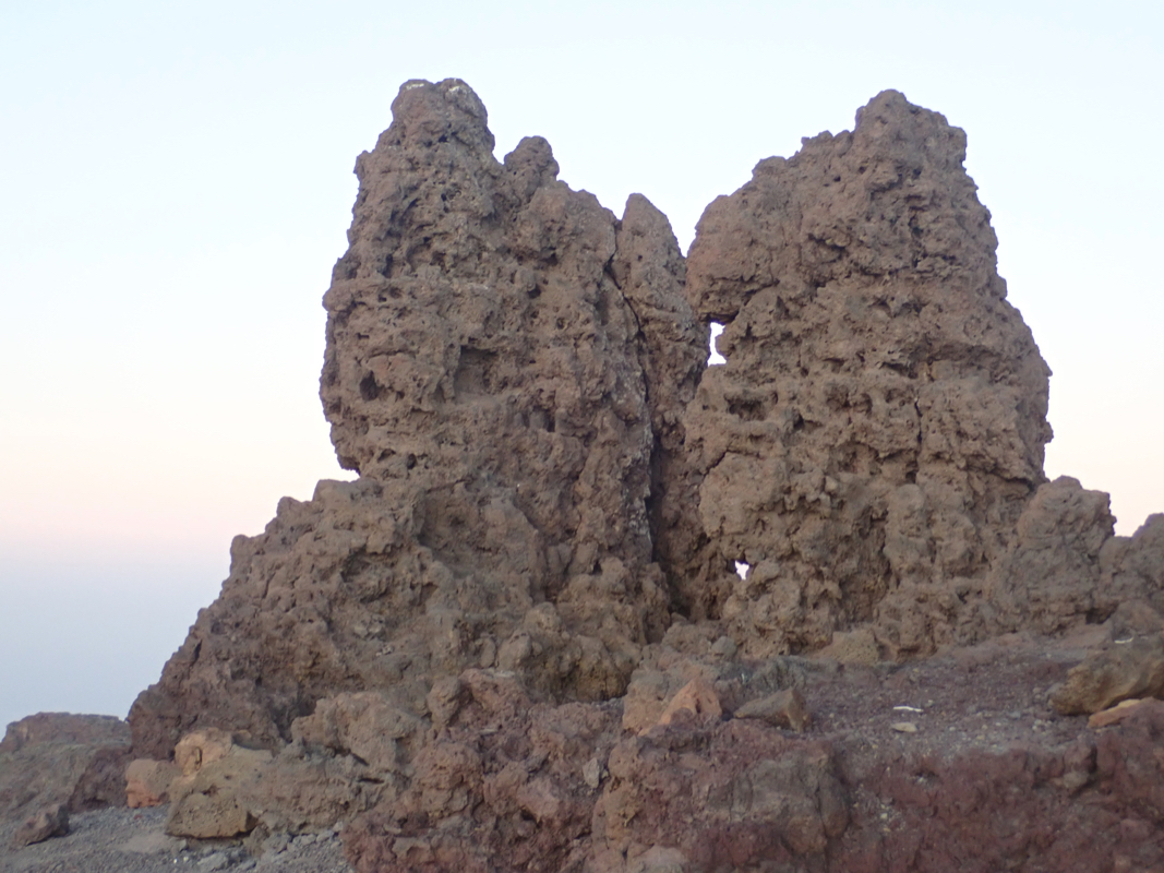
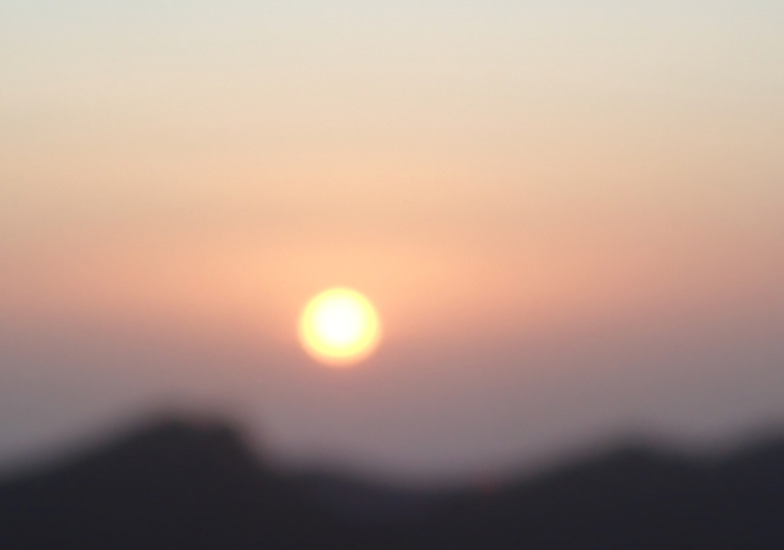
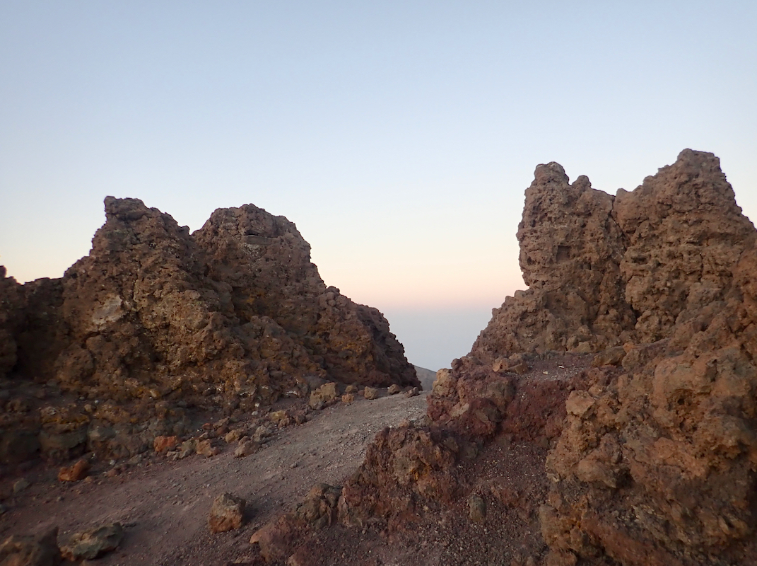
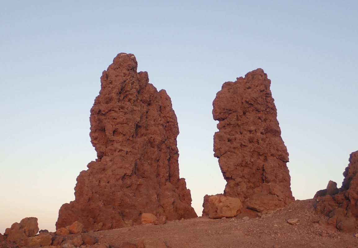
Location: North 28.75420, West 017.88491 (GPS at the summit)
Difficulty: YDS class 1 (Pinnacle, class 3)
Climbed March 15. 2019.
Information:
How to get there:
This is the highest point on the Canary Island of Palma, the island located to
the north-west in the group. The main city is Santa Cruz de La Palma, on the east
coast, this is also the location of the airport with several connections to
other islands as well as direct international flights.
From Santa Cruz de La Palma, drive north and locate Hwy. LP-4 that climbs the mountain
going north-west. Follow this road to kilometer marker 36, then shortly locate
the road fork (left) signed for the observatories. Well before this, you have
kept right at a fork where the road going left is signed for Nieves.
The observatory access road is open from 0700 until 1700. Outside of these hours
one may find parking (off the road) near this road fork and walk from here.
The road fork is located at N28.76484, W017.89353, elevation about 2160 meter.
Route description:
Continue up the observatory road. There are several side
roads serving various installations,
but they are all well signed and it is pretty obvious which road
climbs to the very top. On top, there is a medium sized parking lot with
a concrete summit marker.
At the opposite end (from the marker),
a well made trail
follows a low, wooden fence and encircles
the summit rocks. The summit rocks
are a small number of rock pinnacles, the highest one is pretty slender and
stands next to a very similar, but slightly lower one.
The summit pinnacle is (YDS) class 3. There are good, dependable holds, but
the pinnacle is narrow and
one should most likely be content with touching
its top.
Comments:
I left our hotel before 0500. With a choice of visiting early morning or early
evening, I prefered the former since evening time would conflict with having
dinner with Heidi. The drive took about one hour and I was ready to leave my car
and walk up observatory road at 0550. The sky was full of stars and it was not
hard to follow the road uphill without using my torch light. I arrived at
0630. It was still dark,
but not difficult to
identify the highest rock
pinnacle. It seemed a bit steeper than what I had guessed from reading
trip reports, but with plenty of good holds, it was easy to get up at the
same level as its top. Happy with touching the top and making a GPS reading, I
next returned to the nicely made walk-way nearby.
I decided to hang around and wait for the sunrise.
It was a beautiful
morning and nice to observe how the stars were fading from view as the eastern
sky turned yellow. Around 0645, a car arrived at the small parking. The driver
(a local guard/ranger?) left the headlights on, beaming up to the summit
rocks, but I was standing behind the rocks
remaining in the shadow.
Shortly before sunrise, a few minutes past 0700, the man walked the lower
part of the path and when seeing me higher up, asked some questions in Spanish.
I replied that I did not speak Spanish and he seemed fairly happy, after a
sequence of 5-6 additional questions (from 30 meter away), that I left
unanswered.
The sunrise was quite nice, and
I got a couple of additional pictures of
the summit and the summit pinnacle with early rays of sunshine.
The time was now 0730 and I walked/jogged back down to my car, reaching it
at 0800. The drive back down to Santa Cruz went smoothly and I was back
at the hotel at 0900. Time to alert Heidi and go to breakfast!
Resources:
Images
A sign, tourists are adviced to stay on the nice trail.