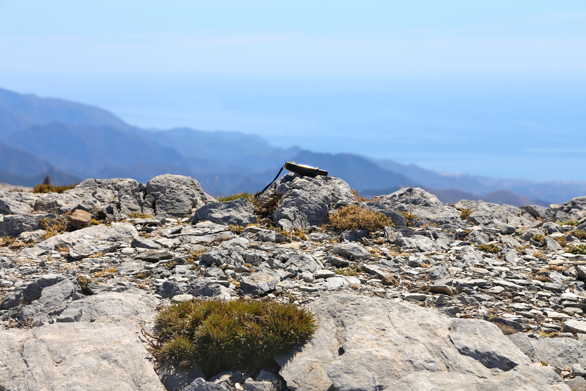
Location: North 36.90327, West 004.04367 (GPS on the summit)
Difficulty: YDS class 1
Climbed September 17. 2016.
Information:
How to get there:
From Malaga, first enter the freeway A7 going east. After about 30 kilometer
you are getting to Vélez-Málaga, exit here and go north on
Hwy. A-356. After slightly more than 10 kilometer, make certain to exit this
road (in a downhill section before lake Vinuela) and continue on Hwy. A-402
east (right) of this lake, then climbing to the very characteristic gap in the
mountains just before the town of Ventas de Zafarraya.
Drive through the main street of Ventas, just as you exit town, turn right
(signed for Alhama, still A-402). Drive about 8 kilometer from this intersection,
the Hwy. kilometer markers are counting down and you should pass marker 36.
In a big left curve, there is a prominent building with Hotel in large letters.
Turn right here, that is, take the road that exits on the right hand side of this
building.
This is a pretty good dirt road. Keep right after a couple of kilometers. Then, after
nearly 5 kilometer on this road, keep right twice, then left to enter the parking
area among big trees. Good sized parking on your right, this is location
N36.92937, W003.99575, elevation about 1100 meter.
There is limited parking a few hundred meter further along, but one may aswell
just park here. This trailhead area is called Robledal.
Route description:
The hike starts as you continue walking along the forest road that heads gently
uphill. Soon passing a wire that blocks access for vehicles. Follow the forest
road to a small local hilltop, ignoring a smaller road that forks left (and uphill)
along the way. On this hilltop, the route forks sharply left. There
are several signs and arrows. Shortly after this, stay left on the main forest road, ignore
what looks like an alernative that forks right.
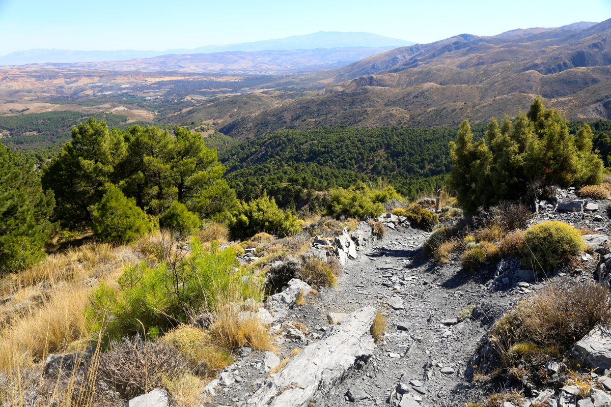
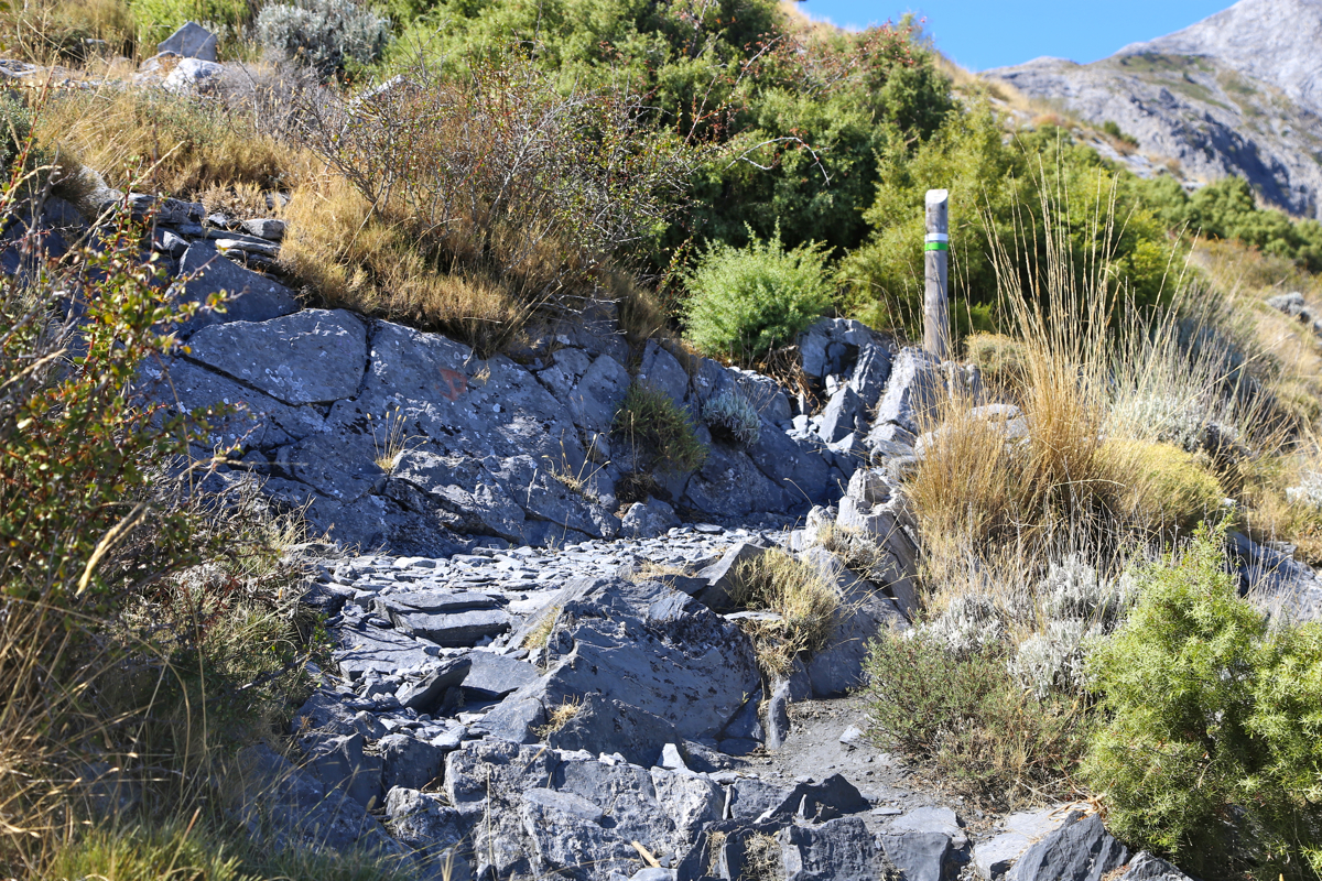
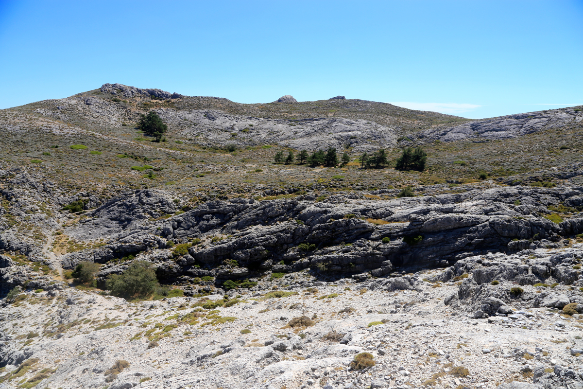
The forest road continues very gently uphill as it climbs the beginning of a ridge. Gradually,
the road changes into becoming a trail. There are wooden markers as well as a couple of
signs, but basically only one trail from here and onwards.
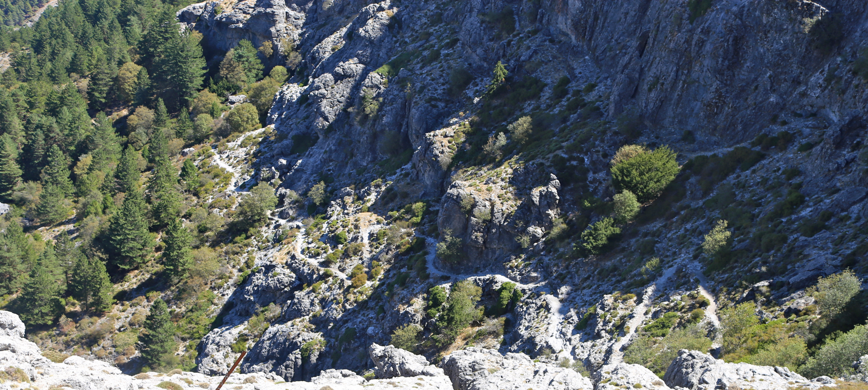
The trail follows, mostly on the right side, the ridge as it now climbs more steeply to reach
the upper end of connected forest near 1500 meter of
elevation. Continue uphill on a well defined
trail with more wooden markers,
to reach a last section with trees just below steeper
cliffs above. The trail is well built
here with zig-zag turns that climbs to a distinct gap with
Maroma risiing on its right hand side.
You are now at location
N36.90377, W004.02627, elevation slightly above 1800 meter.
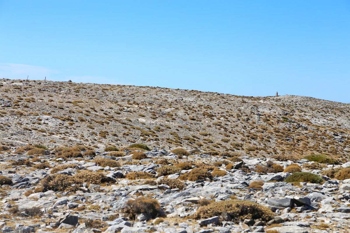
From here, there are two options that should both be hiked for a good summit loop. The main trail
continues straight ahead, across a small plateau and gains the main crest directly on top
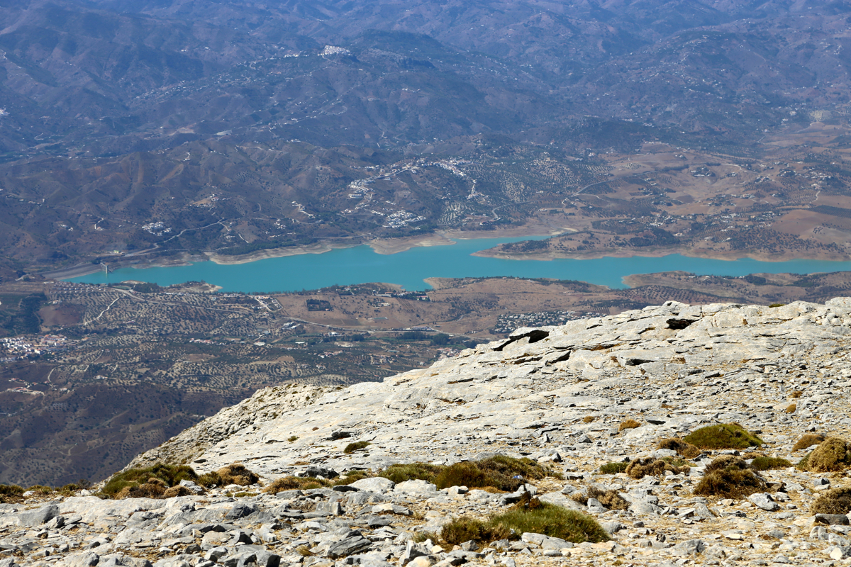
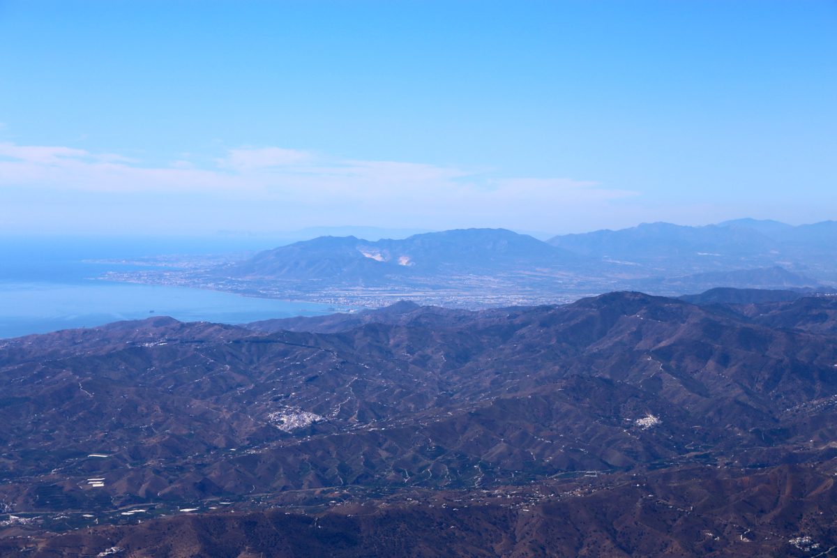
of steep, limestone cliffs facing south. From here, you have a nice view of the villages and lake
Vinuela below, with the Mediterranean as a nice backdrop. The trail follows on top of the cliffs, then
an ascending traverse to gain the main mountain plateau onwards to the westernmost top with a tall
cairn.
An alternative and more direct route, is to turn right as soon as you reach the 1800 meter gap, then
follow paths that ascend the east ridge directly. This route will traverse all 4 summits on the pretty
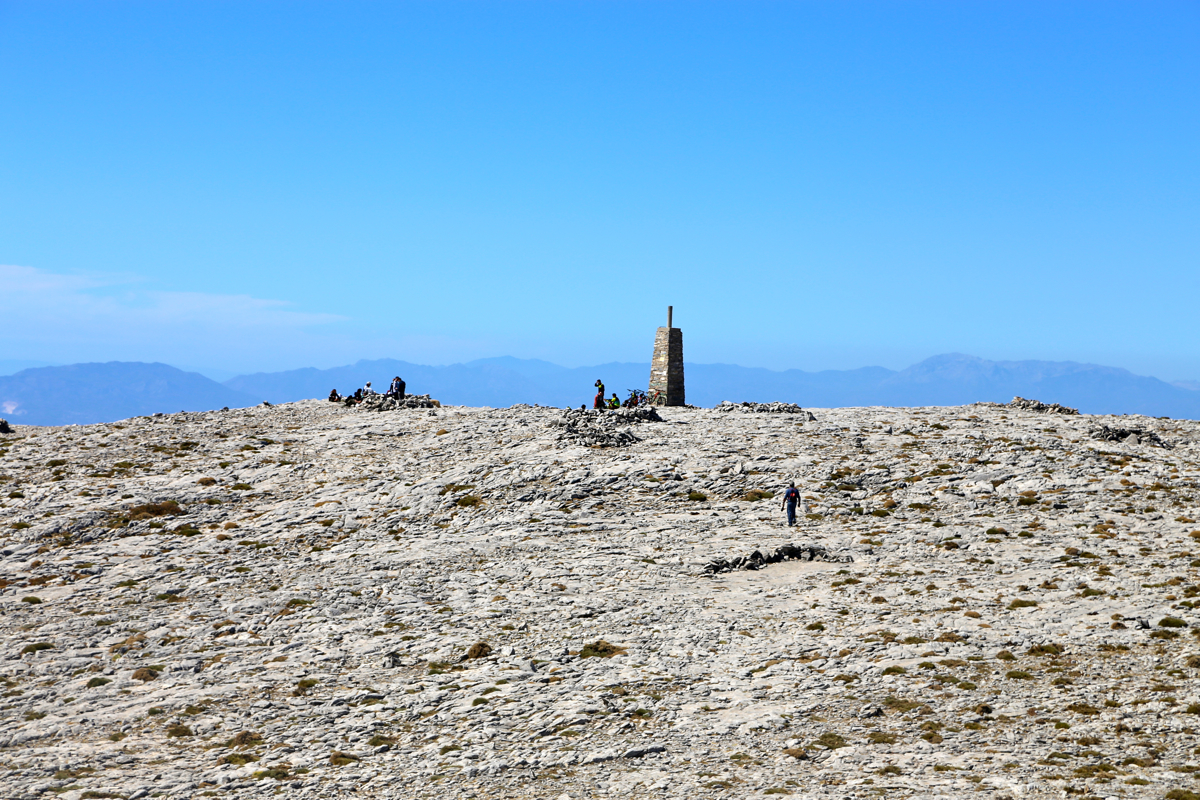
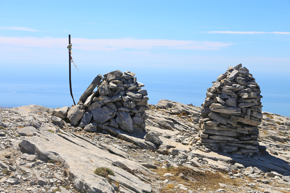
large summit plateau. These tops are located as follows (numbered from west to east):
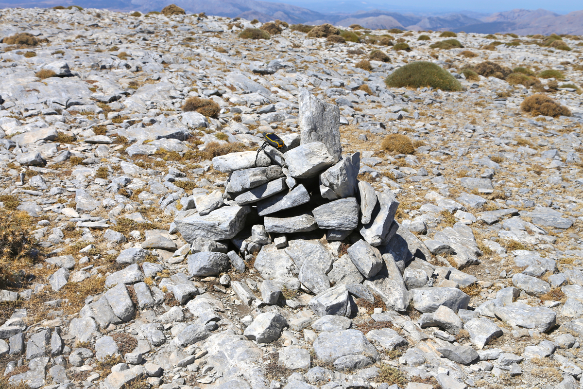
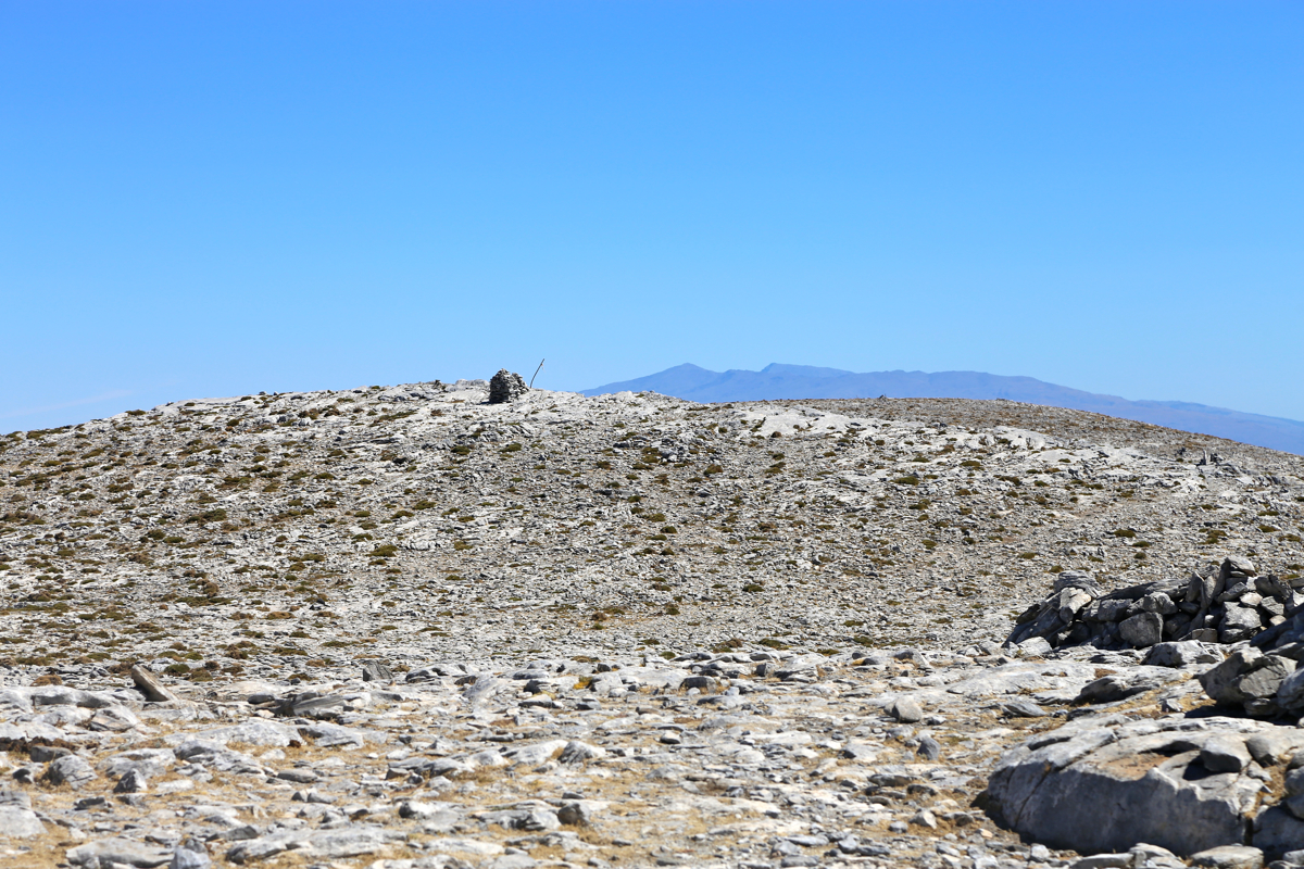
Top 4: N36.90506, W004.03623, elevation 2064 meter.
Top 3: N36.90403, W004.03852, elevation 2066 meter.
Top 2: N36.90327, W004.04367, elevation 2065 meter.
Top 1: N36.90268, W004.04556, elevation 2069 meter.
The elevations are from a Spanish topo-map. Being very close, there is really
no detour to visit all along this route. Also, standing on top 2 and
looking west,
I could see a lot of the lower terrain in the horizon, not so obvious if
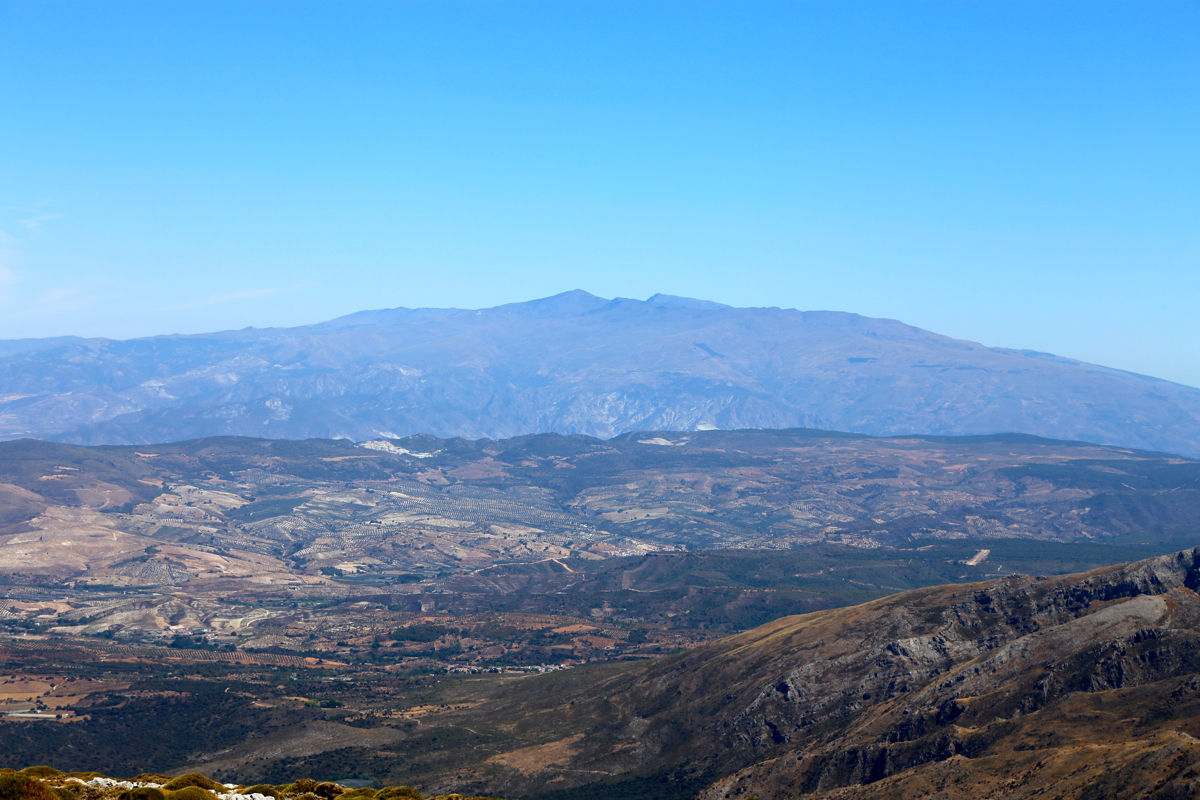
top number 1 should indeed be 4 meter higher? Looking east is less
informative as you then see the much higher Sierra Nevada
in the distance.
Based on the photo evidence, I believe that there is a mistake on the map and that
top 2 is indeed, the highest summit.
See below for a more systematic comparison of pictures taken across the
various summits and make your own judgement!
Comments:
I had been on 3 day administrative seminar in Malaga. Flying home one day later,
this Saturday was reserved for a good mountain hike. I left the downtown hotel,
Molina Lario already at 0730. However, I made a wrong decision near the tunnel exit
in the center of town, this subsequently led to a long guessing game for locating
an entrance ramp to the A-7 freeway heading east.
Finally on the main road, everything went well, but with limited time spent on
map studies, I missed the tranfer from A-356 to A-402. This again, led me onto several
obscure mountain roads before finally gettin on to the proper road climbing the
hill to the village of Ventas de Zafaraya.
Unfortunately, my navigational problems were not over yet. I had what seemed like
an accurate description from the WEB, telling me to fork right onto a dirt road
between kilometer 37 and 38 (this road had a marker every kilometer). Fair enough,
a dirt road forked off as expected. It was rather small and a bit rough, but no
big deal for my 4WD SUV-like rental car. Searching around, exploring several possible
forks, but no trailhead. I drove back to the main road and located a more promising
side-road, it was paved, but might have been a dirt road earlier. Again, no luck as
this road led to local industries, providing no clues for a trailhead.
Time was now running and I had no better plan than continue to explore along the
main road, now quite far beyond the area that was prescribed. Finally some luck as
I came to a very easy to recognize hotel building in a left turn. Here, on the right hand
side of the hotel, another road forked off. There was reason to be optimistic as
there were signs pointing this way.
The time was 1050, I was ready to leave at 1055. A couple of cars were parked
here, I was certainly behind other hikers. The trail was nice and the weather good,
I cleared out of the trees after about one hour, the trail ahead was more exposed to
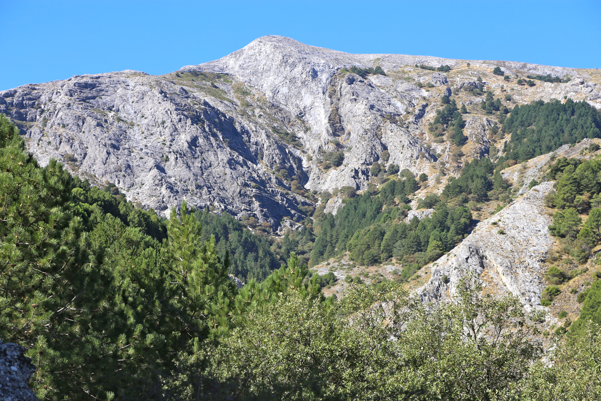
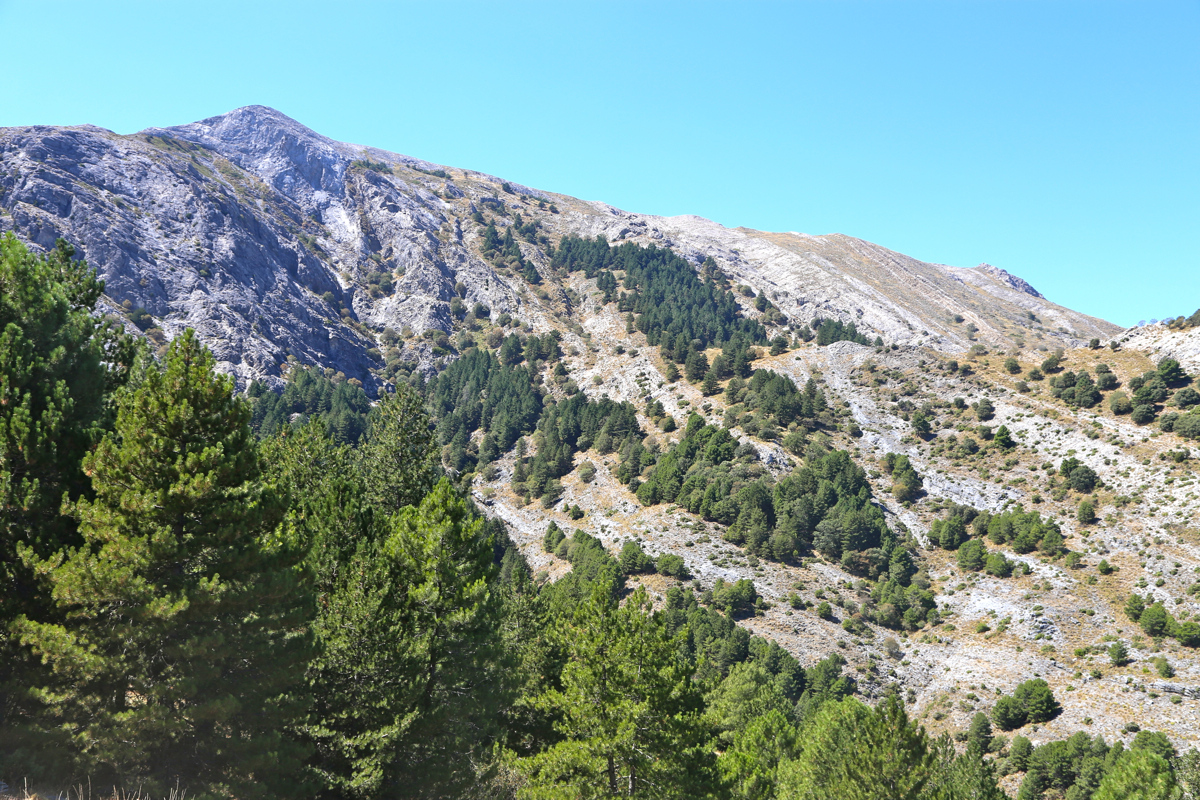
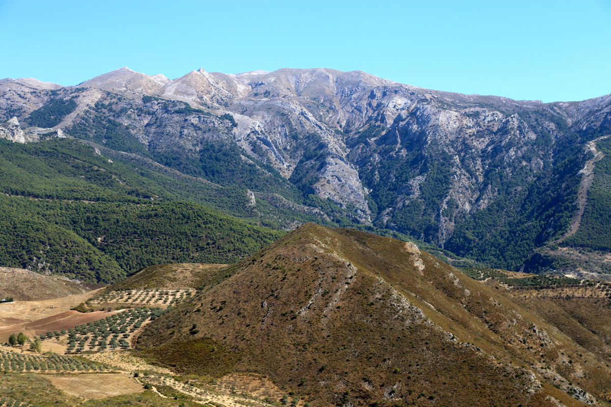
sunshine. It was quite obvious that the route would climb to what looked like
a col on the east side of Maroma.
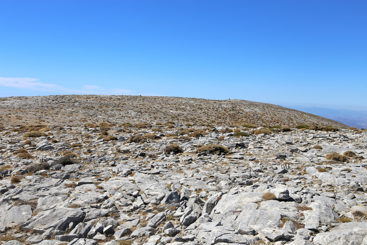
One may see top 4 of Maroma
while hiking along. Part way
up, it is also possible to see the long and fairly horizontal shape of
this mountain.
I followed the main trail across the small
plateau to the cliffs then up onto the main summit area, a large expanse, almost
flat, but with 4 different candidates for being highest.
I first arrived at top number 2,
it seemed pretty clear to me that
it was higher
than the westernmost top 1. I could see easily across with lots
of terrain visible behind it. Since all this were lower than 2000 meter, the
conclusion seemed clear. Looking across top number 3, I could still see the
Sierra Nevada behind it, but these mountains exceed 3000 meter, leaving
the case more undecided.
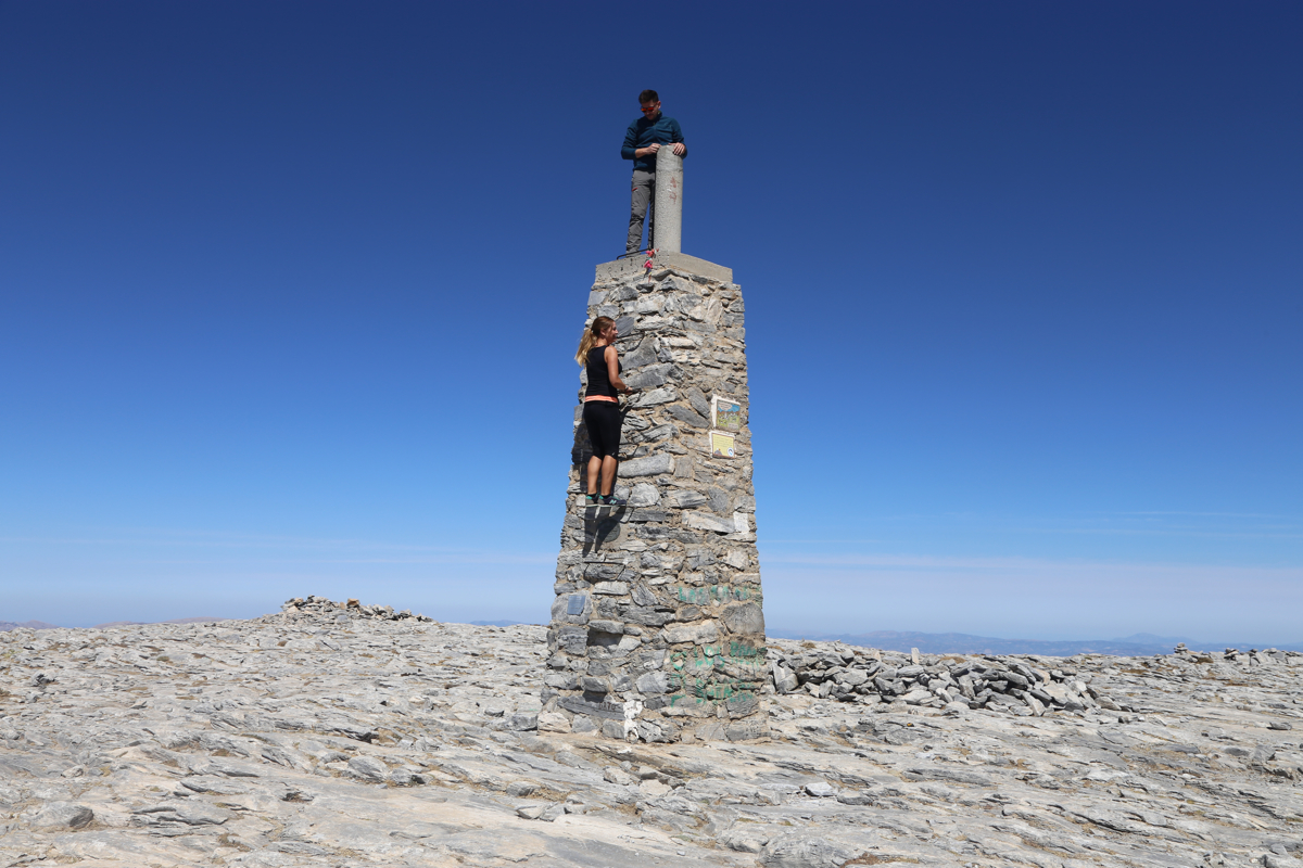
I walked over to top 1. This has a tall, nicely made
summit marker with
iron steps so one may climb it - a popular activity for people having
their picture taken.
I took a long rest before starting the more direct route back, this would
get me across tops 3 and 4 as well.
Top 1 has the best view, but that may
be more related to it being at the end. One can
easily see across to the Malaga area
in the west, while the
Sierra Nevada is best viewed from top 4.
Top 3 is also a candidate for being
highest, while top 4 seems
out of contention.
I left the summit plateau at 1345 after a 50 minute break, but got busy
trying to get pictures of the
mountain animals that suddenly appeared.
They were pretty shy,
most likely few people take this route any more.
Down i the gap at 1409, I now descended without any more delays. The lower
part (forest road) was just right for a bit of easy jogging. I was back
at my car at 1509, so exactly one hour.
The return deive was also problem free, taking about one hour rather than the
more than 3 hours it had taken me to find the trailhead this morning.
Resources:
Images
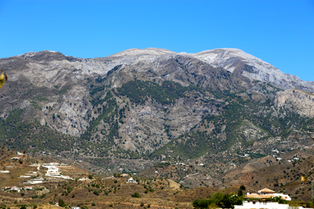
Maroma, as seen from Hwy. A-356, on top of the hill.