Location: North 40:55.841, East 021:47.158 (GPS at the summit)
Difficulty: YDS class 1.
Climbed July 13. 2010
Information:
How to get there:
This mountain is located on the border with Macedonia, north-west
of Thessaloniki. To drive there, you first go to the city of Edesa.
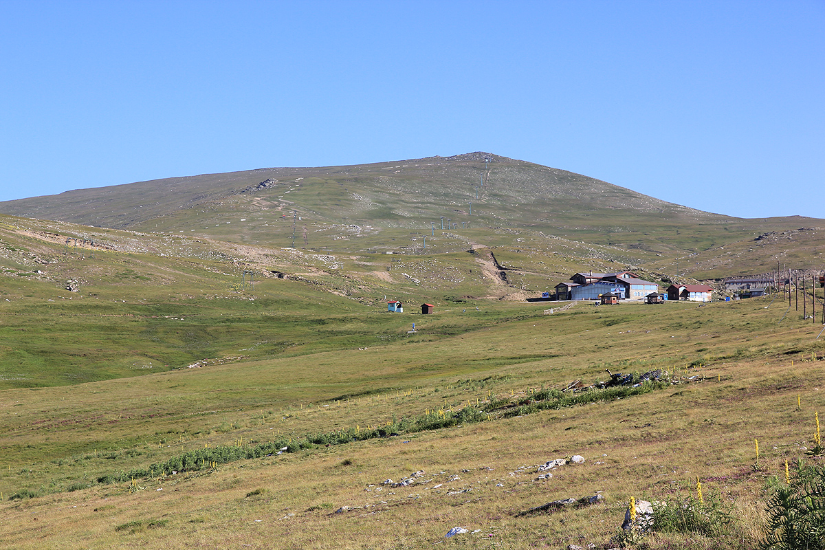
The mountain is part of a ski area, however, there are no facilities
open high on the mountain in the summer time. In fact, most people stay
in the valley below and deal with about 1700 vertical meter
of elevation difference
every day. There are two paved road that run all the way up
to the ski area. (A third road connects with the small village of Orma,
but it has a pretty rough section of dirt road near its lower section.
We stayed in the village of Loutraki, a place with many hotels and services.
This is one of very few European ultras where one must park the car a bit
lower than the end of the road in order to gain a full 600 vertical meter on foot.
Just after the two paved roads merge for a final climb, drive up to a sharp
curve going right and park there. This location is N40:53.981, E021:49.360,
elevation 1914 meter
Route description:
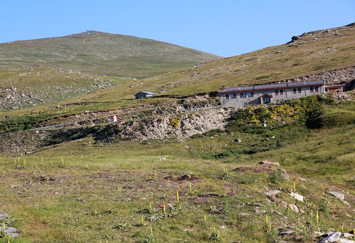
From the car park, first hike up the rest of the road passing a ski lodge on
your left before approaching the upper lodge.
Leave the road here at location N40:54.826, E021:48.614, elevation 2076 meter.
Head up the very gentle slope more or less along the skilift that serves the same hill.
There is no convenient trail and there may be a couple of small, but wet meadows.
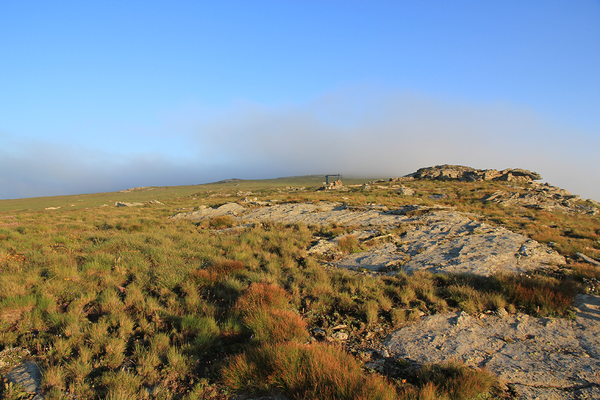
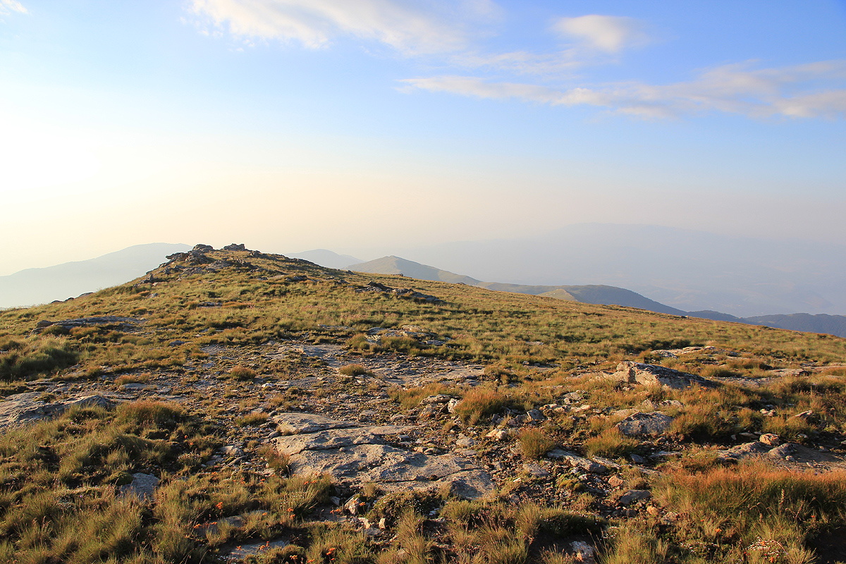
After you pass the highest point of the
chairlift, the mountain becomes quite flat
as you head towards the highest point
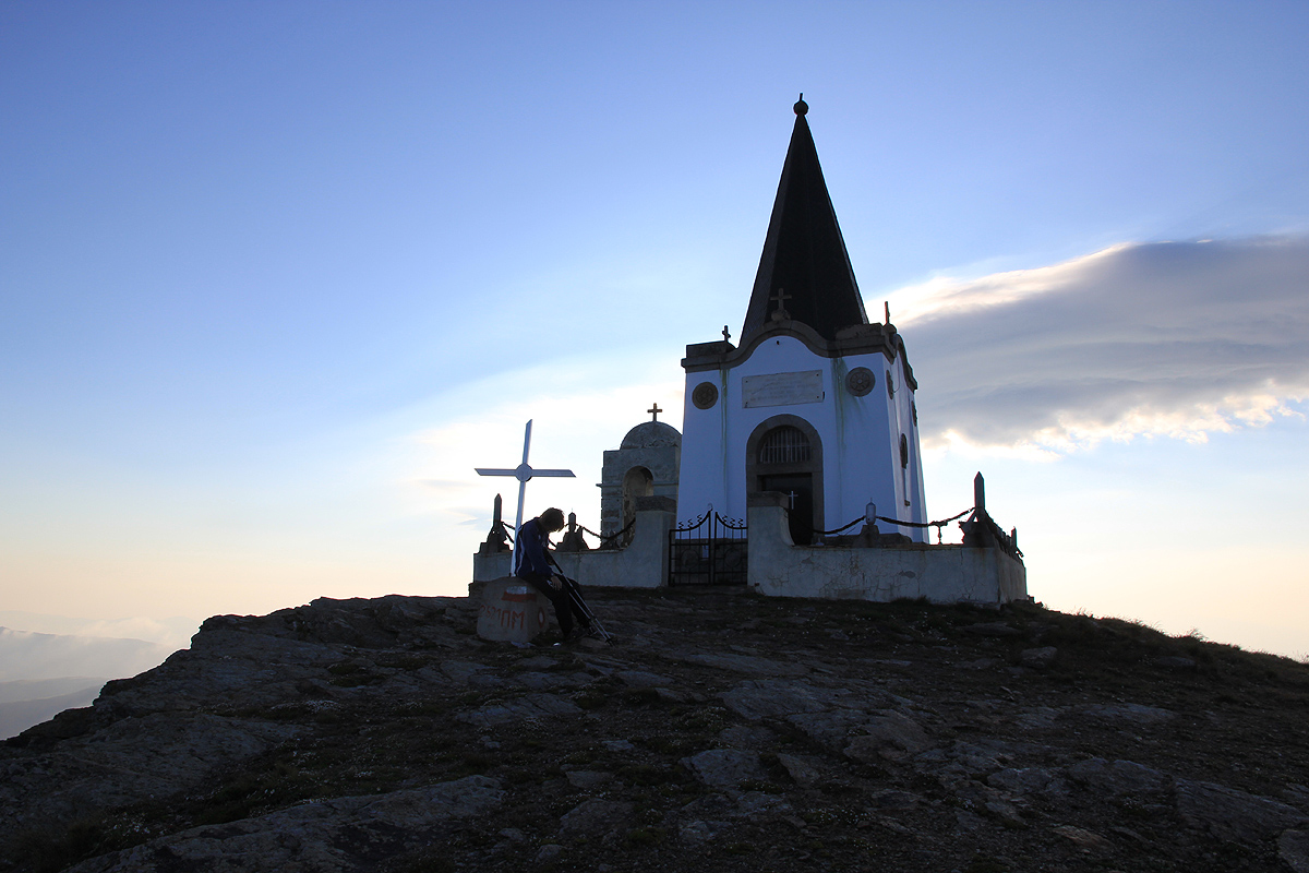
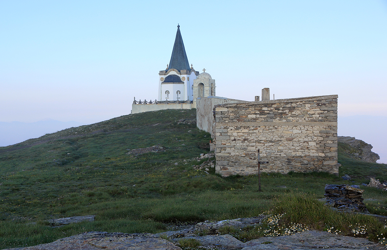
where a small church has been built.
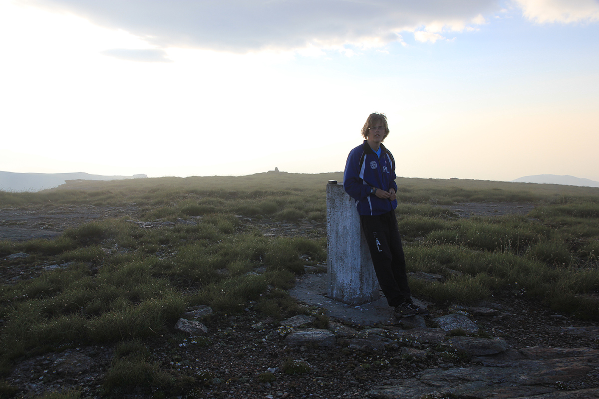
There are two highpoints, they are close and of almost equal elevation. The church (west)
is slightly higher. There is a trigpoint marker on the eastern point.
Comments:
We got up at 0500 and drove up to a curve on the road that barely exceeded
1900 meter of elevation. This mountain is one of very few in Europe where my
minimum 600 vertical meter gain on foot rule has the unfortunate consequence
that the first kilometer must be hiked along a paved road.
We started out at 0600, up the road, then up the hill next to the ski lift.
The mountain gets very
flat near its top where we arrived at 0715. There are two
local tops, one with a trig-point, the
other with a small church. The highest ground
right in front of the church entrance is the highest one, measured to 2529 meter, so
the quoted elevation of 2528 seems accurate.
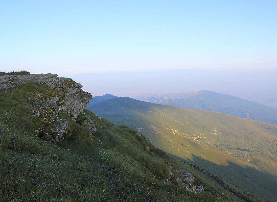
The view into Macedonia is
nice and the mountain is slightly steeper on that side.
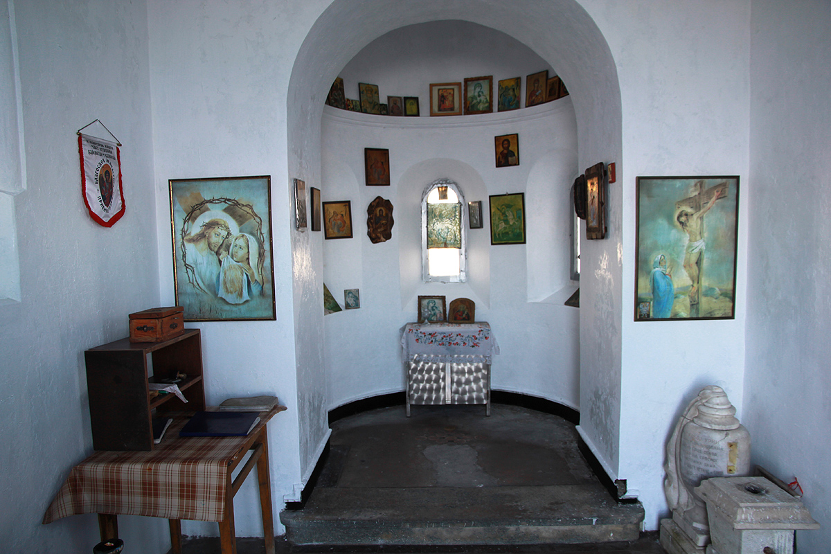
We had breakfast until 0735, had a look inside the church, then
returned to the car arriving there at 0835.
Heidi was quite surprised to see us back at the hotel already by 0915.
Our summer trip now
continued to Smolikas.
Resources:
Images
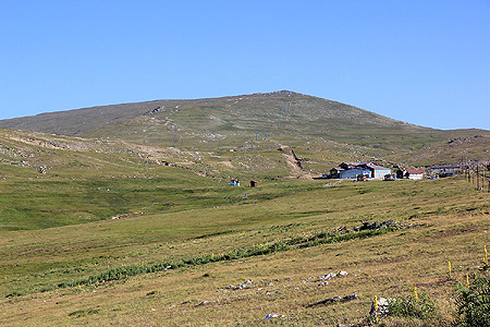
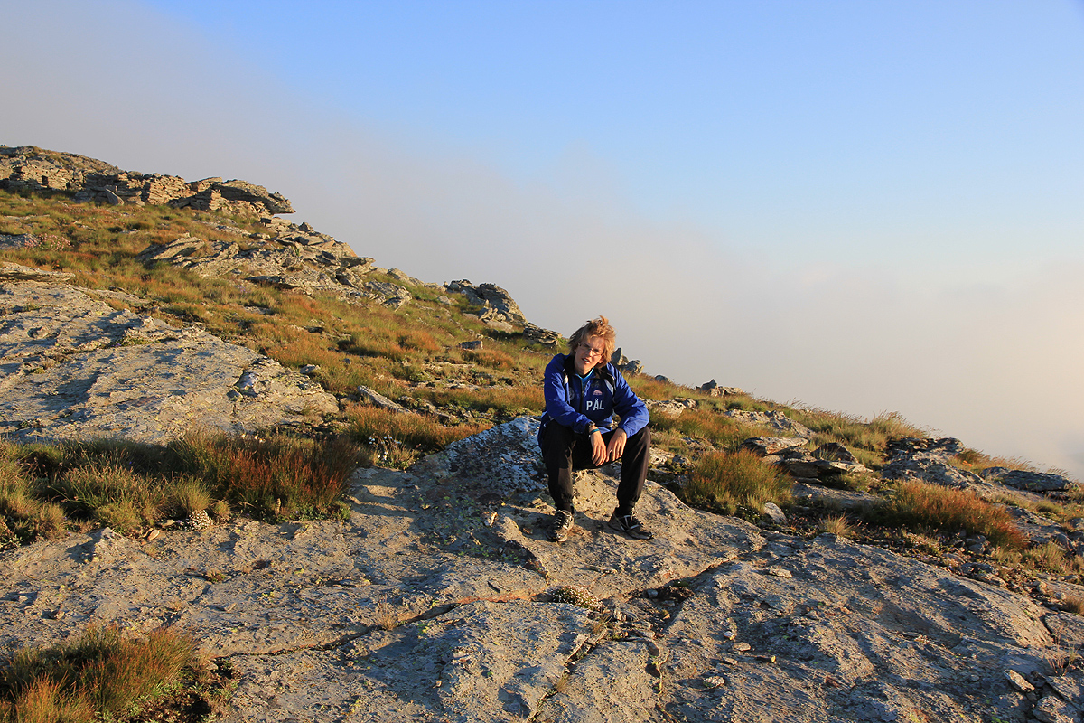
Kaimaktsalan as seen from the upper part of the road. The summit is further behind.