Location: North 41.09993, East 033.86332 (GPS on the summit)
Difficulty: YDS class 2
Climbed July 23. 2016.
Information:
How to get there:
This mountain is located north in Turkey. First locate Hwy. D765 from Cankiri north to
Kastamonu. After passing the town of Ilgaz, this road climbs across Ilgaz mountain pass,
elevation 1875 meter. It may be that this Hwy. will run through a tunnel in the future,
this description must then be slightly changed, but one may still use the tunnel if coming
from south to north, however, the turn-off will than be quite soon after you exit the tunnel.
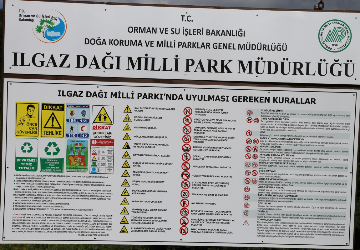
Descending from the pass (going north), note the exit to the Ilgaz Dagi Milli Park, a portal on
a road that forks left. Drive 10 kilometer downhill on D765 from that fork. You will then enter
the tiny community of Cat¨o;ren. Continue 350 meter after passing the sign for Cat¨o;ren.
Turn righ onto a very small road that immediately crosses a small bridge. This location is
N41.14343, E033.77980, elevation about 1170 meter.
Measure from this point (km 0.0).
You should now basically follow the dirt road that looks best and that also follows the creek
in the main valley. A normal car should be able to drive this road (with care!), reasonable
clearance makes life a bit easier. Details as follows:
At kilometer 2.5, go straight (left fork), then at 2.8, again straight (right fork). Keep
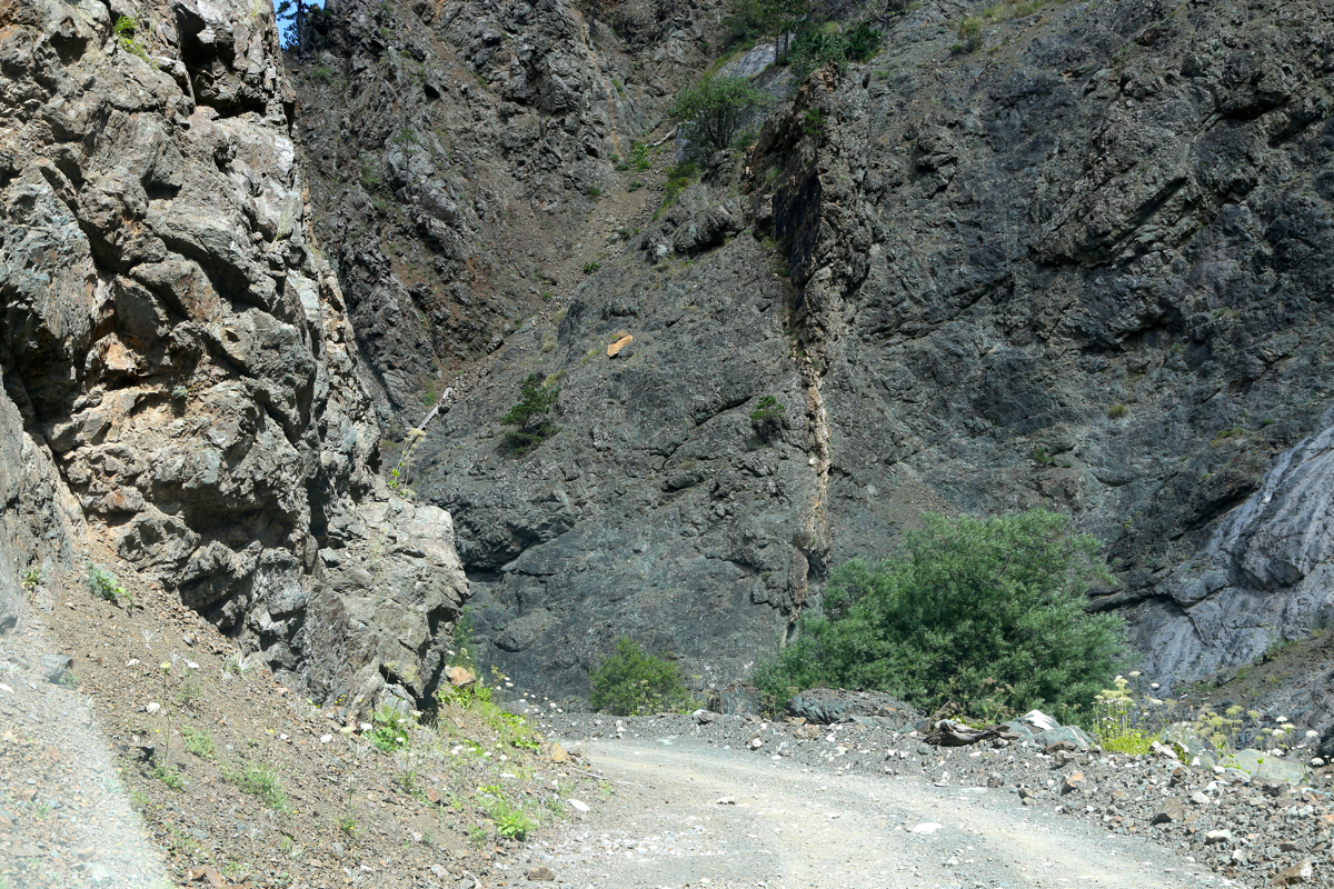
left at kilometer 4.7. At kilometer 5.0 the road
enters a narrow canyon, lasting about
500 meter (the creek is still next to the road). At kilometer 6.8, the road bends right
(right fork), cross a small bridge and stay on
the principal dirt road. Keep left at kilometer 7.6, this is just after another small bridge.
The road climbs and leaves the big forest behind, more grass on the road surface as you
enter a more open area. Pass a shepherds quarter (on your left) at kilometer 10.4 (cows).
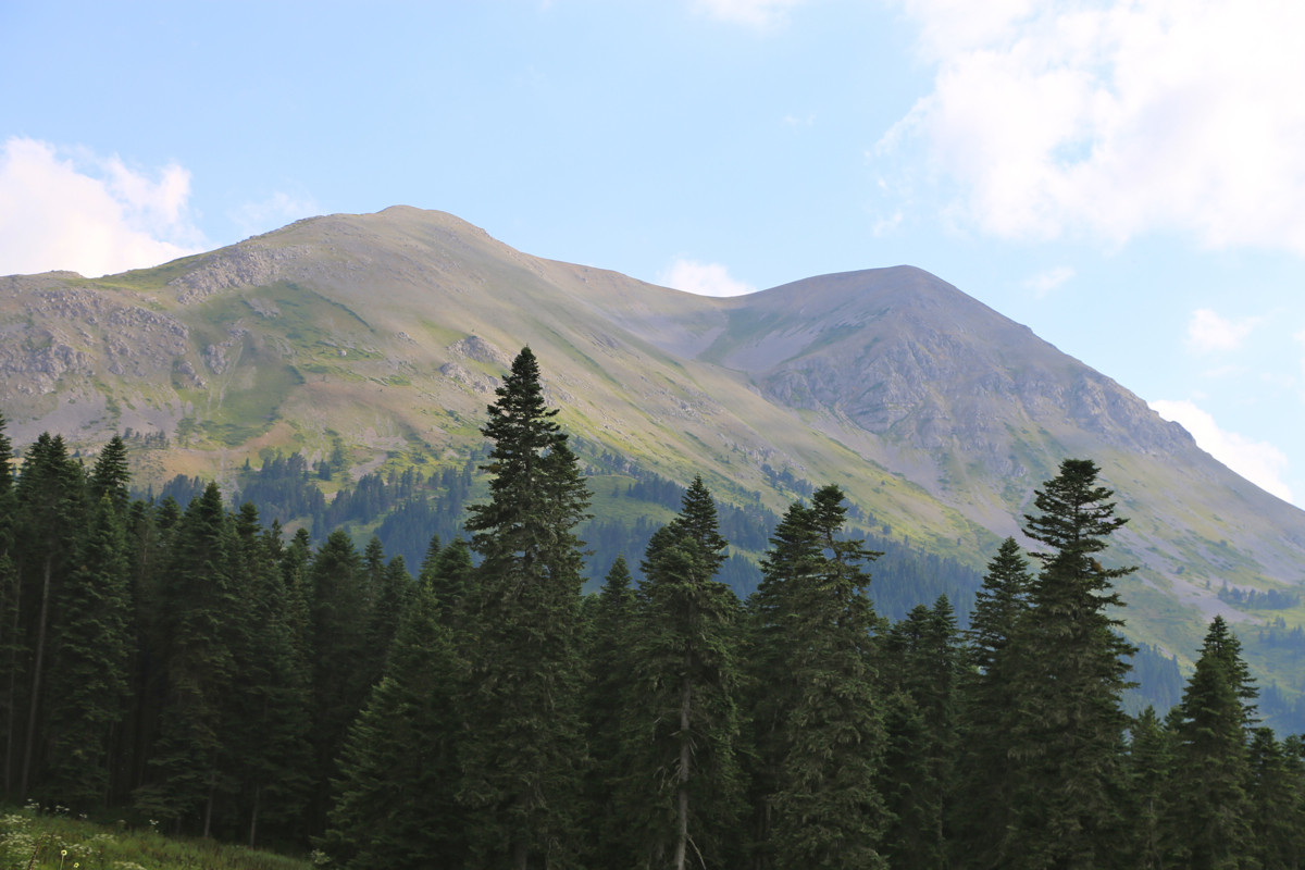
The mountain is now visible up front. The road will climb the slope towards the mountain
in many switch-back curves. At kilometer 14.1, you reach a small col with view across to
the far side. I decided to make this my trailhead, parked and hiked to the summit in 30
minutes from here.
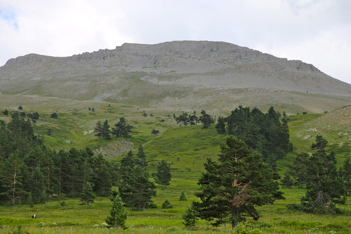
However, you may continue driving, the road does not get appreciably worse. After a traverse
on the left side of the mountain, the road makes a final
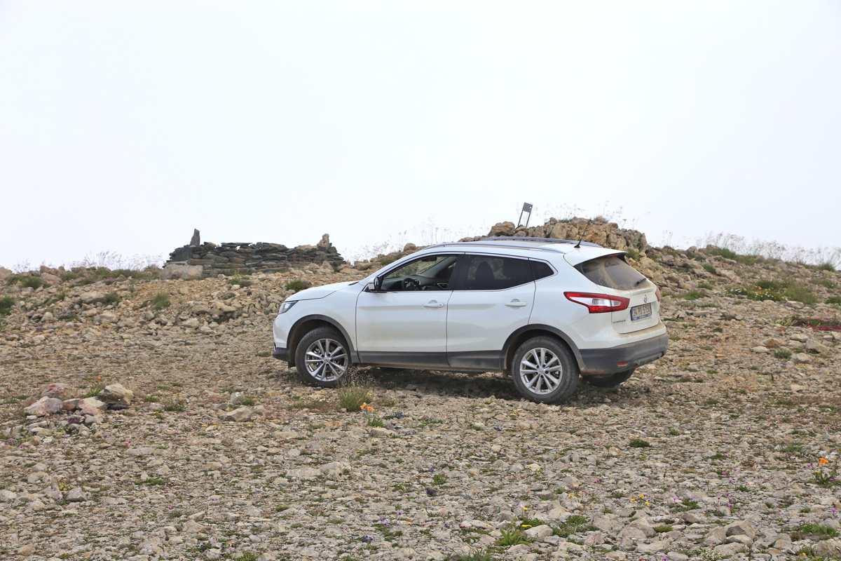
turn back and reaches a large, flat area
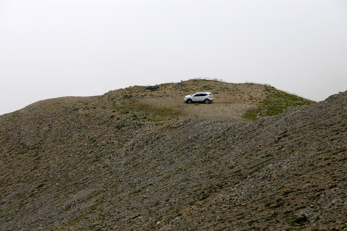
at kilometer 16.7. This is summit parking,
what remains is a 2 minute stroll to the true summit.
Route description:
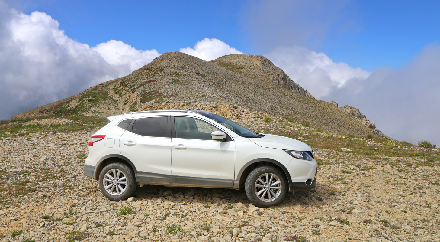
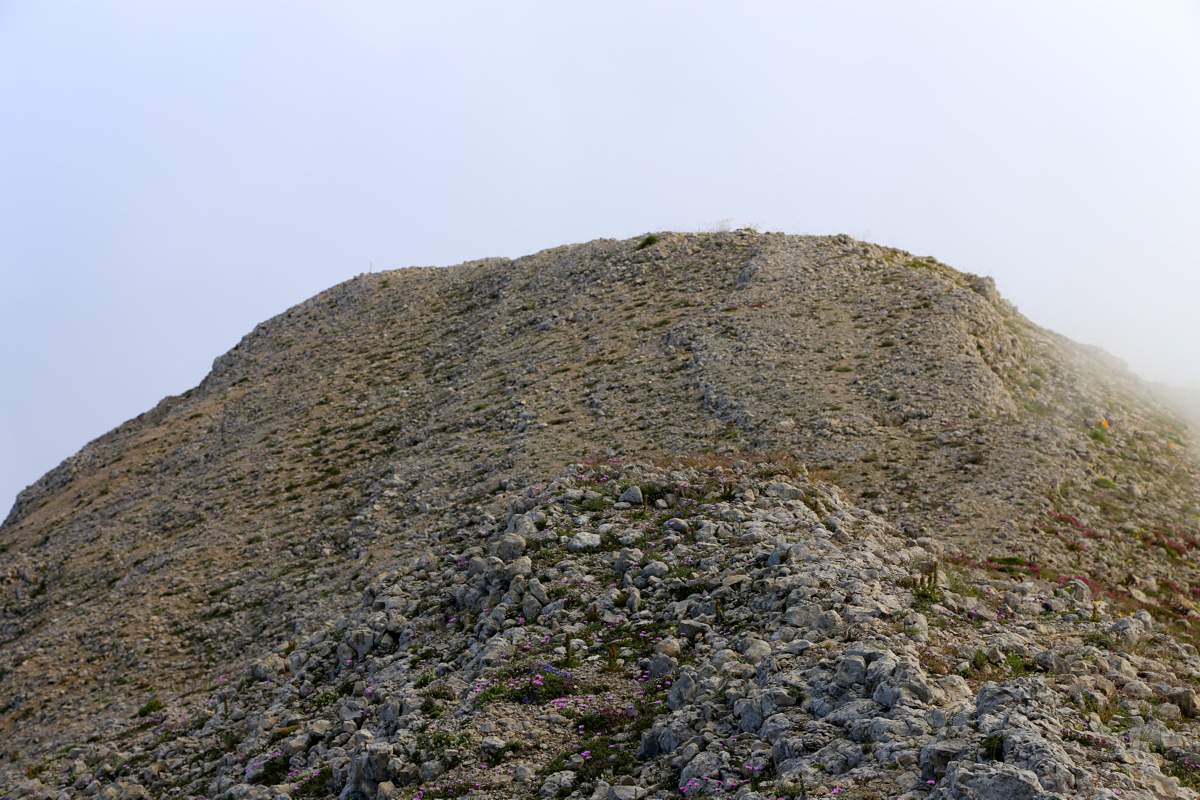
Hike up along the road described above. From the summit parking, follow a very short, rough road,
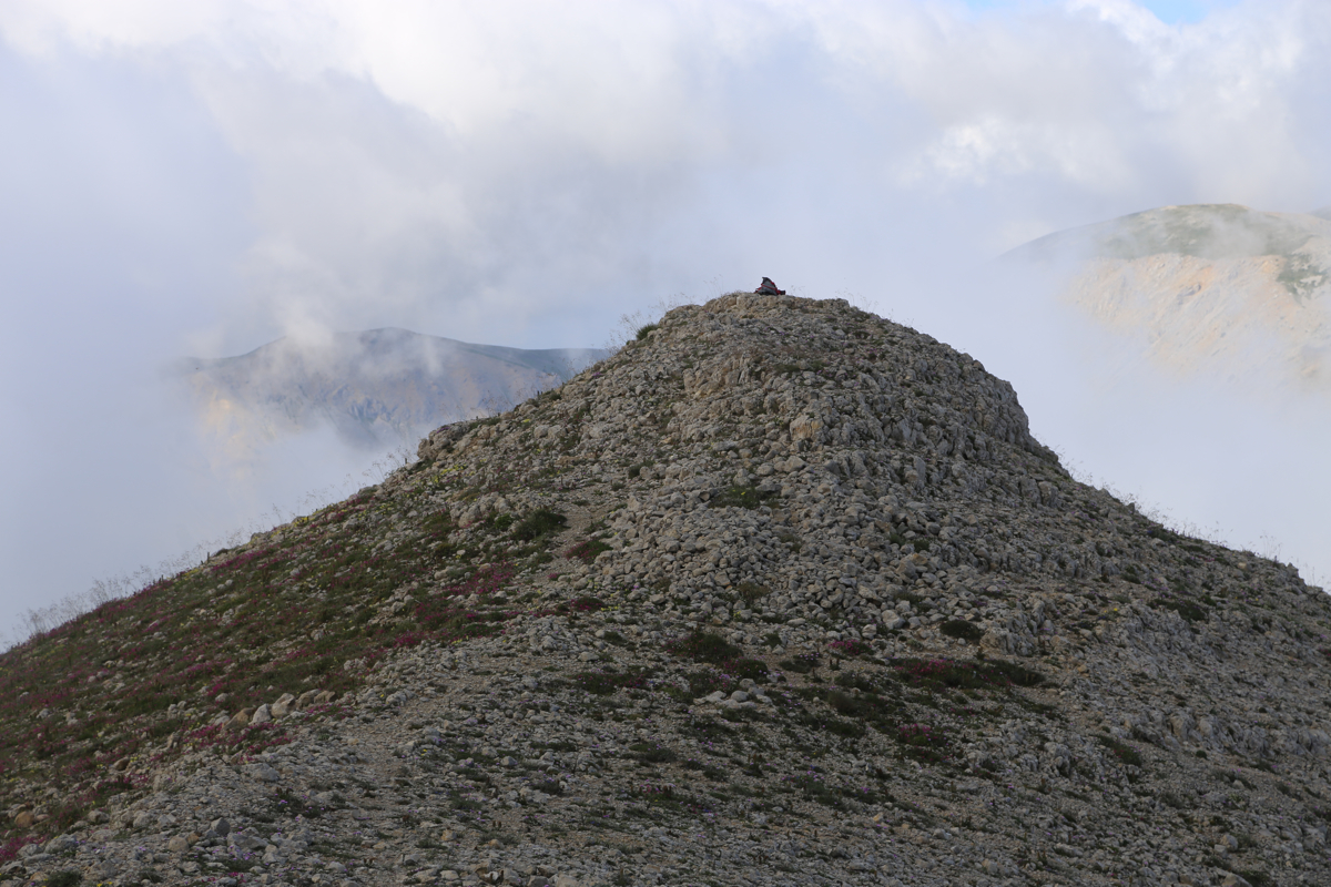
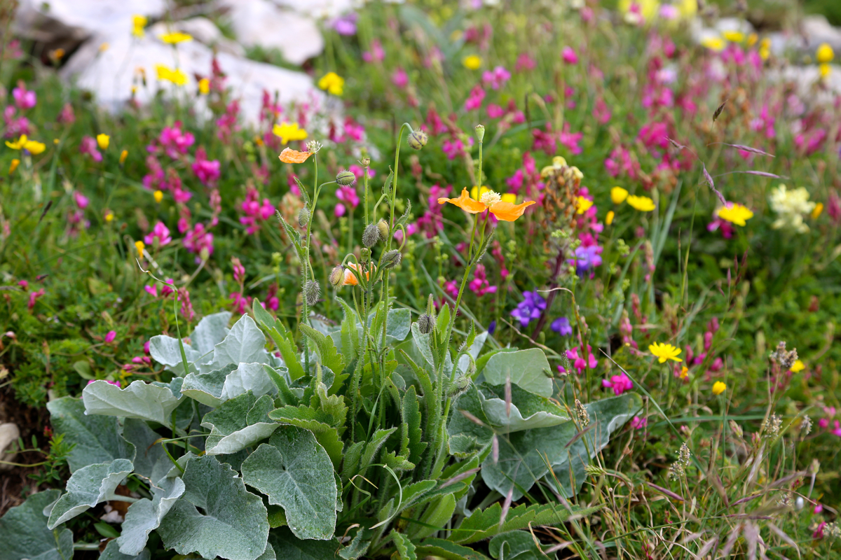
then ascend the obvious small hill to reach the top of a short summit ridge.
There is a second high point on this ridge another 30 meter ahead.
I do believe that the first point you
reach is slightly higher.
Comments:
We arrived from the good life of Cappadocia on July 22nd. Heidi suggested that I made a small
drive to investigate the trailhead for tomorrows climb. Good advice! (as it turned out). We could only
see one big dominating peak,
and my GPS pointed towards it. How hard could it be? I drove back to
the pass and immediately located a smaller road that looked like it
would follow the ridge towards the
mountain, 8 km away according to my GPS.
There was a sign next to this road that was impossible to
understand, but it seemed to indicate that many actions were unwanted (a crossed out walker?), no direct sign
saying I could not drive.
The road soon forked and I decided to try the left fork, this road was not ideal, somewhat muddy, careful
driving required. Later, I picked a right fork and now the road descended steadily on the right side
of the ridge. I made slow progress in terms of getting much closer to the peak and I disliked the road
more and more. Finally, I decided to drive back and explore the other fork. It was worse, so I soon drove back
to the main Hwy. at the pass.
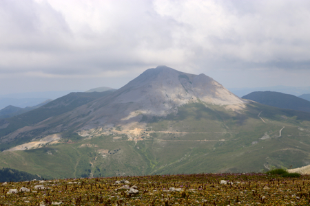
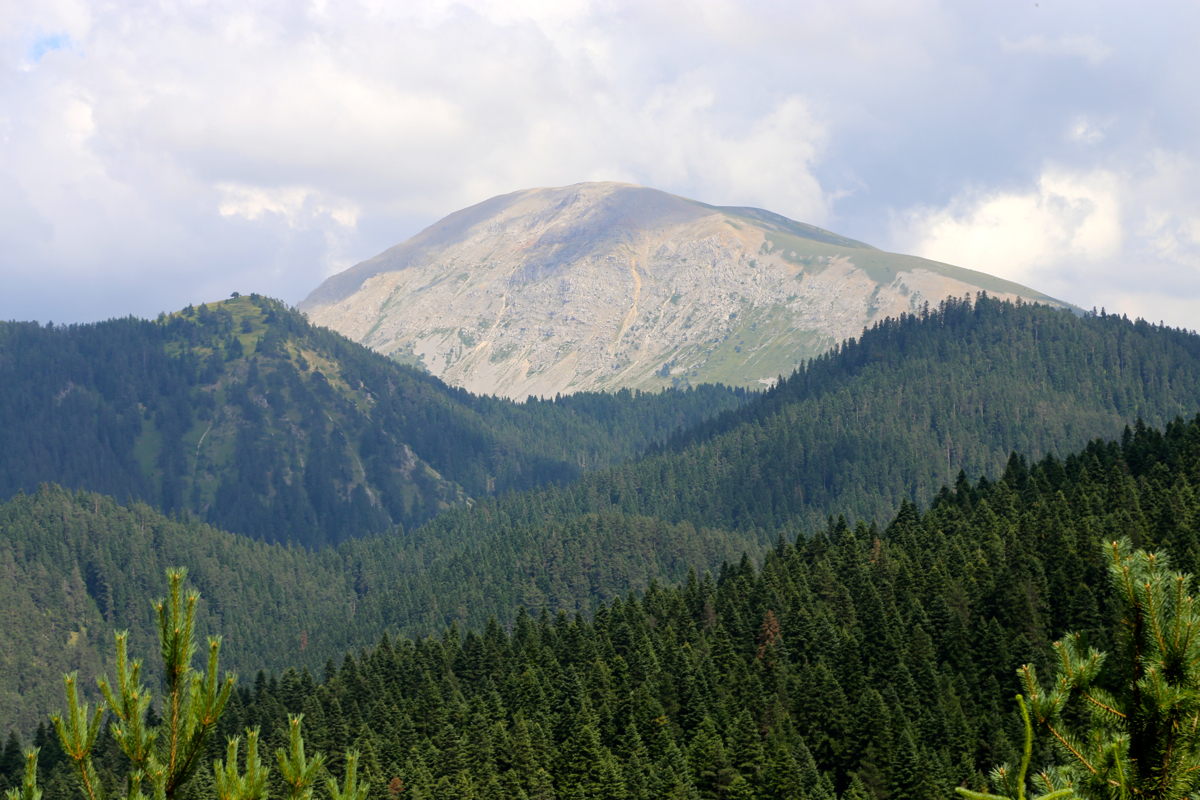
It turned out that a valley ran towards the peak from here, very encouraging! As I drove onwards, I noticed one
surprising fact; my GPS pointed left (north) of the big peak
that I already could see. And indeed, a second peak,
quite separate from the peak I had believed was Ilgaz Daglari, showed up. What a disaster a start from the main
pass had been! Good idea to explore before setting out! Thanks Heidi.
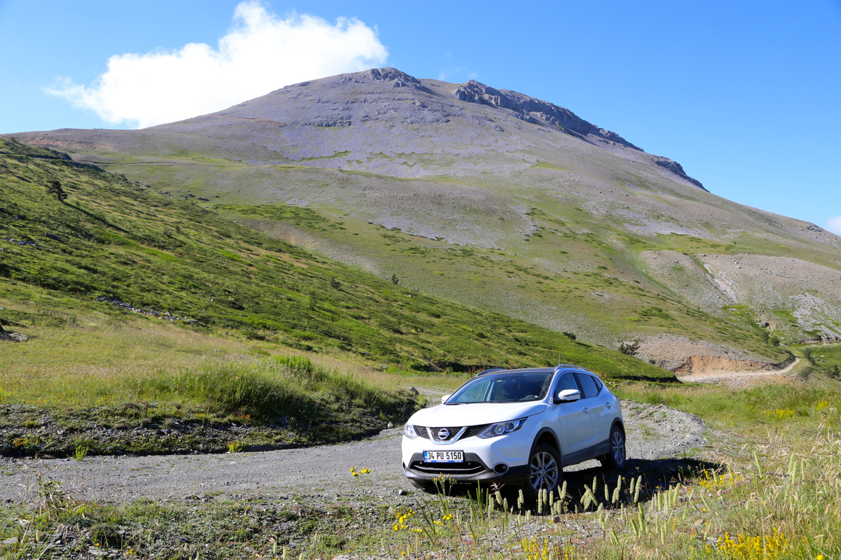
I drove to almost 2100 meter and knew that this peak could
be easily hiked from there. Time to get home,
this exploration had taken much more time than planned.
The next morning, I started out after breakfast. Heidi would do a hike locally in the ski area. I drove back
to where I had turned and continued uphill until a small, distinct col. If this was to be any hike at all I better
park here.
Walking from here would be about a 300 meter vertical gain. The time was 0900, the weather was good,
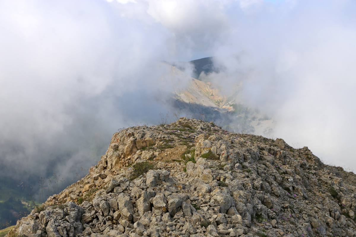
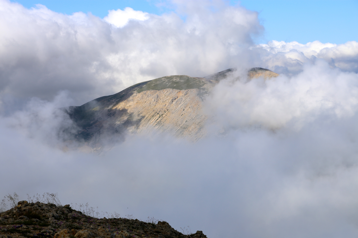
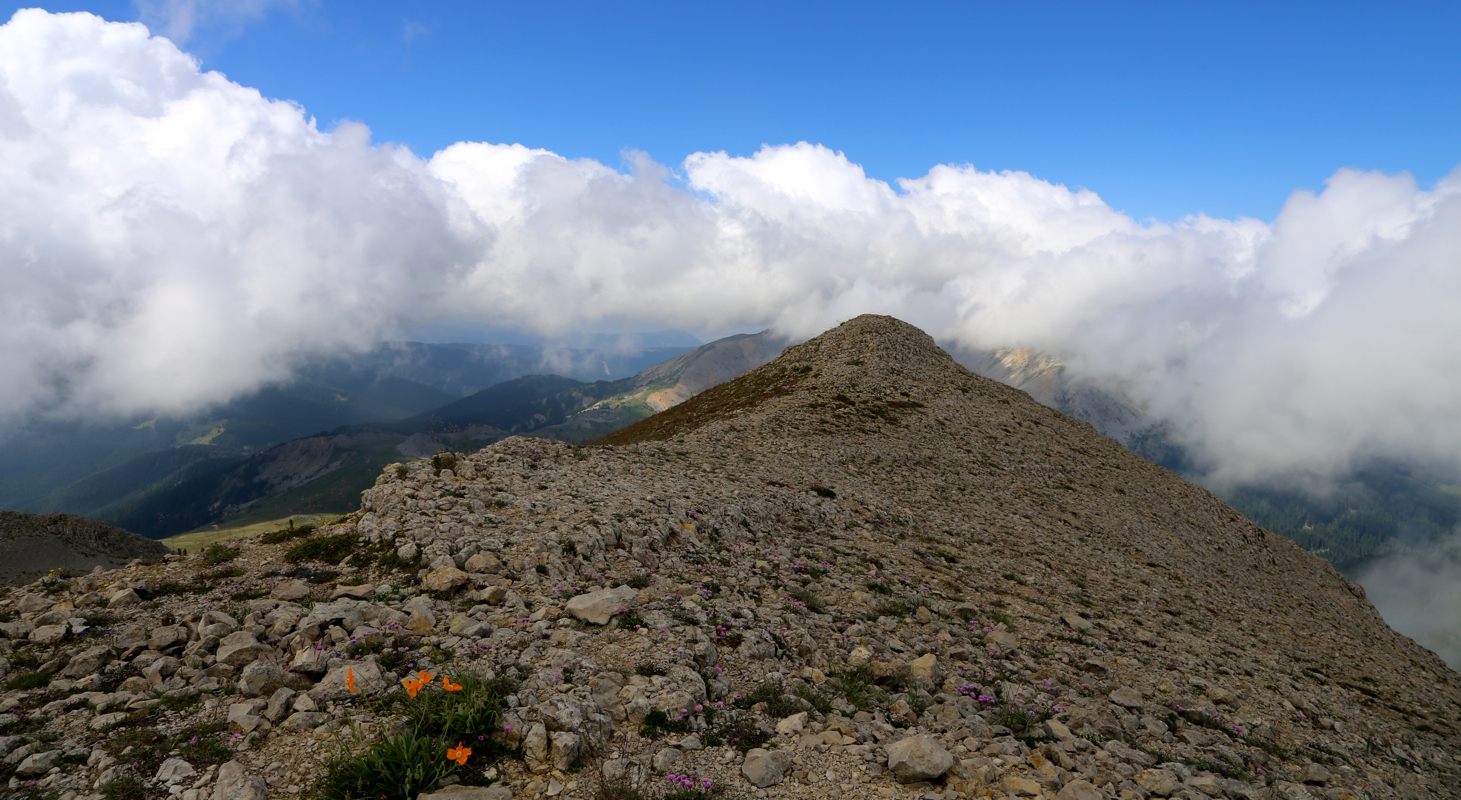
but the clouds were still swirling around, mostly below me. The road did not get any worse and I arrived at
the summit by 0930. Unfortunately,
the view across to the neighbor peak
which I had mistaken for Ilgaz, was less
than ideal. Most clouds were below me.
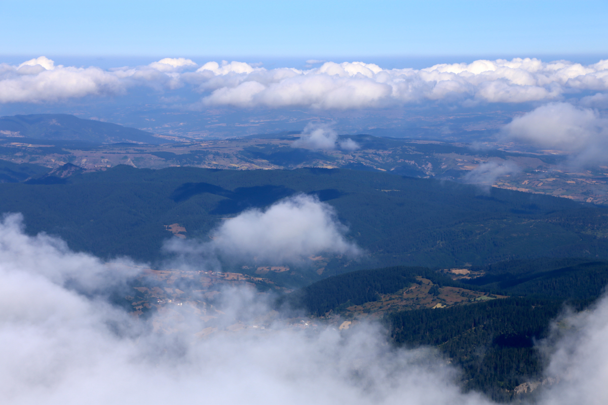
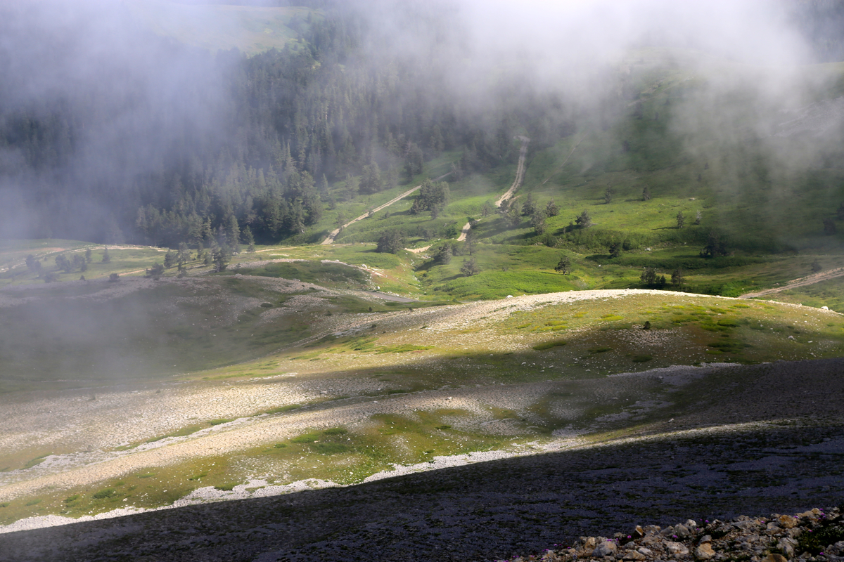
The best view was back down the slopes to
the access road. I spent aabout 15 minutes, left at 0945 and
returned to my car at 1010.
The car had been serving me well, getting to 11 Ultra trailheads, so I decided it deserved to make this summit.
Thus, before driving back down, I drove up to the summit parking and paid another visit to
the summit (2 minute walk!) to see if a picture
of Kucukhacet would be better now. No such luck. I decided to
start driving home, but since it was still early in the day, explore a possible trailhead for
Kucukhacet, then climb it as well if a trailhead could be found.
This was my Ultra prominent peak number 250, provided that Cima Brenta fails to make the list.
Here is a quick summary of peaks climbed in our trip to Turkey.