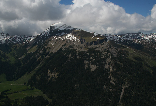
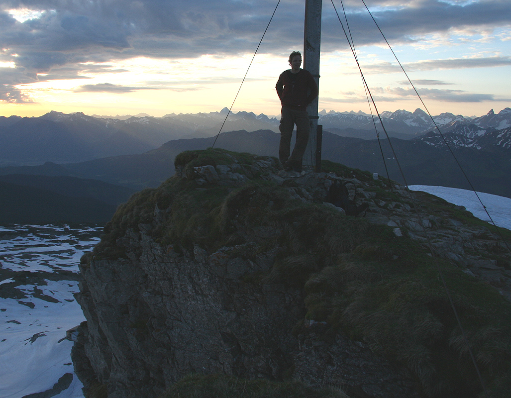
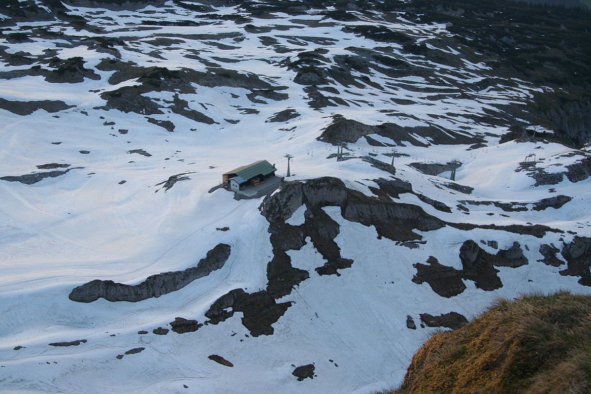
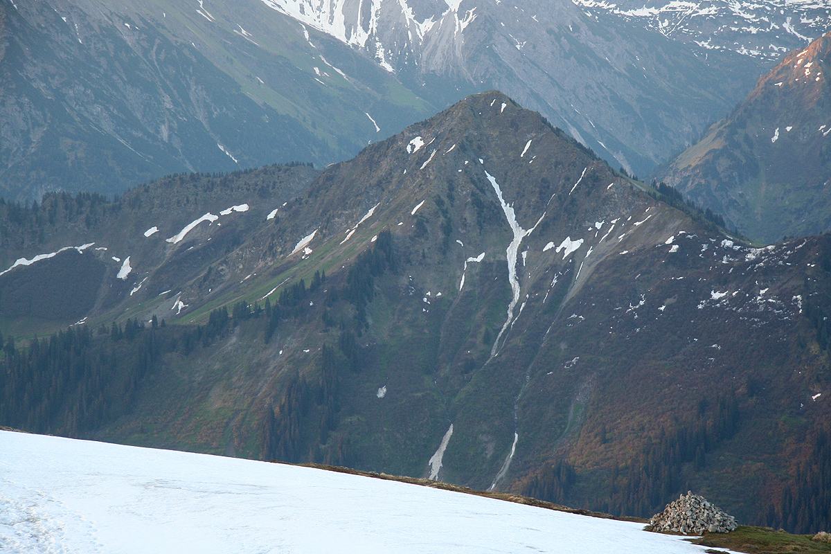
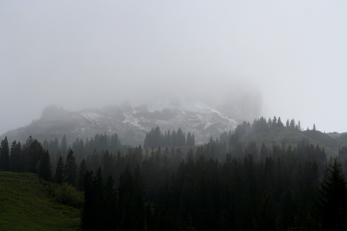
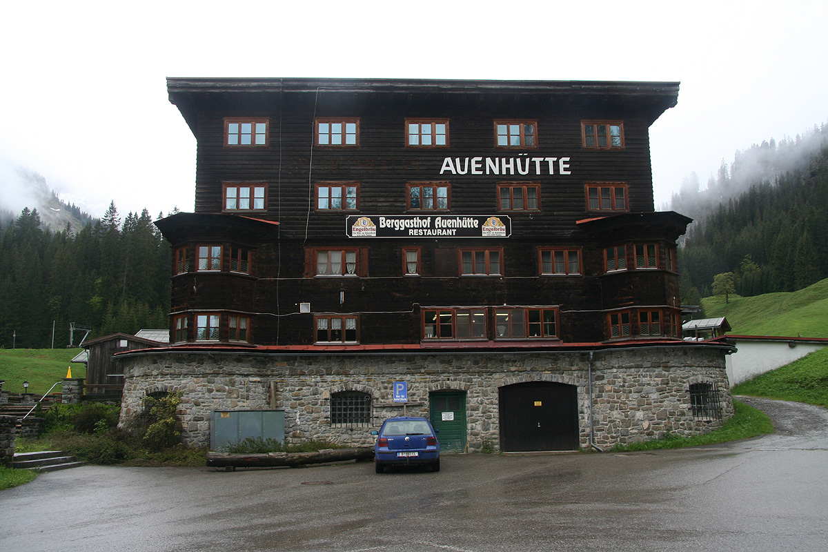
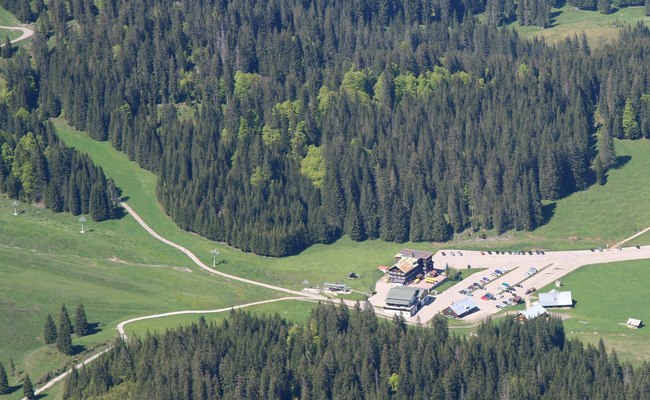
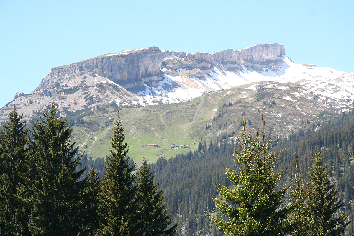
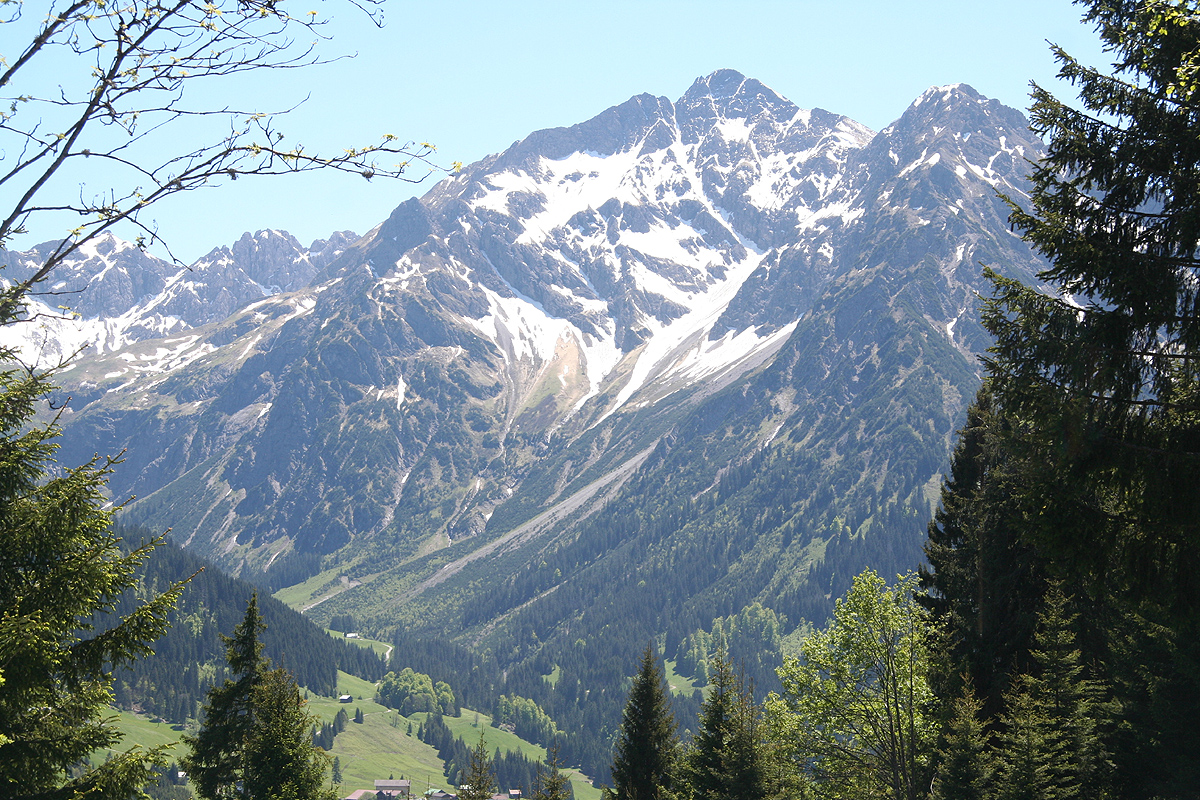
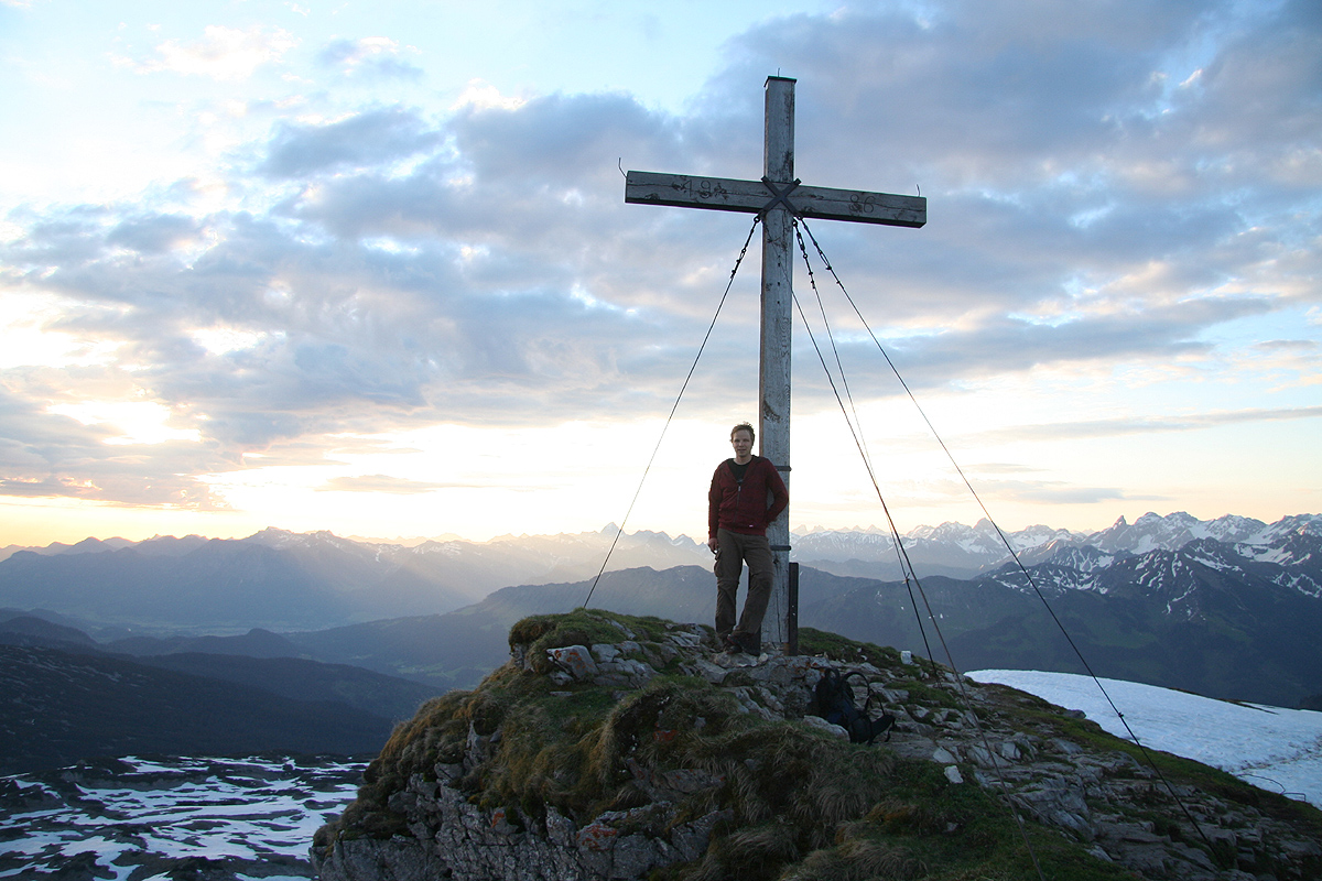
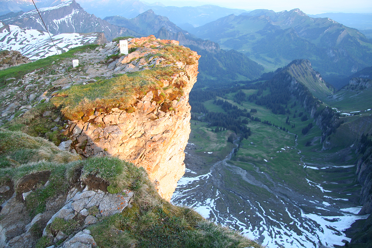
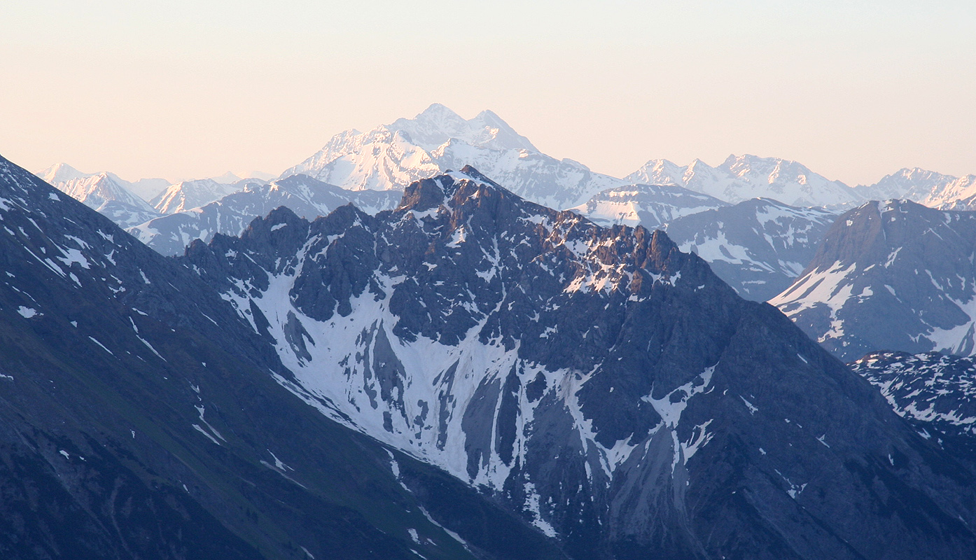
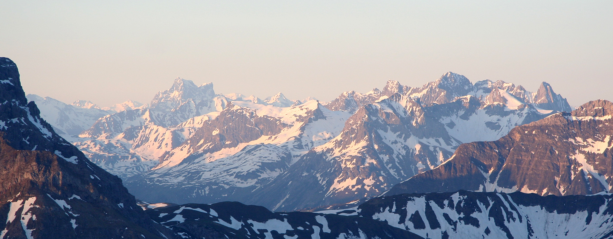
Hoher Ifen (Hochifen)
- Hoher Ifen (Hochifen)
- 2230 m
- Primary factor 476 m
- Algäu Alps, Austria/Germany
- Location: North 47:21.285, East 010:05.997
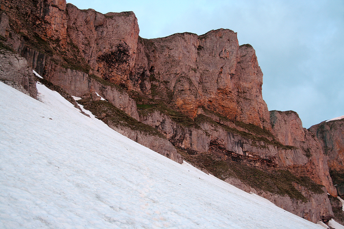
- Difficulty: Summer: (YDS) class 1, Spring: (YDS) class 3.
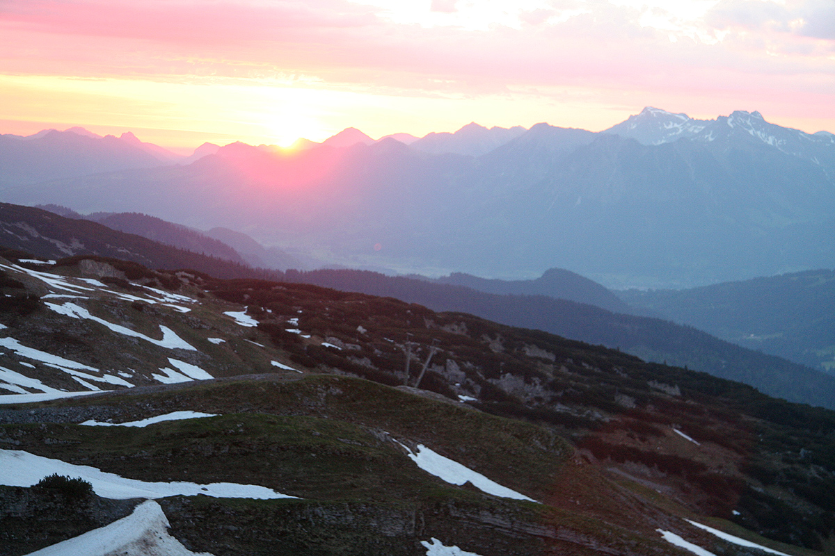
- Attempted June 1. 2010
- Climbed June 6. 2010
Hoher Ifen (Hochifen)
|
|