Hull Mountain
- Hull Mountain
- 2095 m
- Primary factor 870 m
- Location: North 39:31.320, W122:56.206 (GPS at the summmit)
- Mendocino, California
- Difficulty: YDS class 1
- Climbed: October 24, 2011.
Hull Mountain
|
|
How to get there:
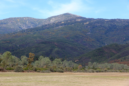
This mountain is most easily climbed from the lake Pillsbury area.
From the Bay Area, head north on Hwy. 101 to the city of Ukiah.
Continue north on Hwy. 101 to Calpella and exit onto Hwy. 20 going east
(exit 555). After approximately 5 miles, leave Hwy. 20 and go more north
following signs for Potter Valley (Hwy. 249). This road will take you across
a crest and to the neigborhood of Cafe Horn Dam, make a right here and
enter forest road M8 that soon becomes a good dirt road. There should be signs
for Lake Pillsbury. Continue to the orth side of lake Pillsbury where the road
crosses a runway! (Watch for airplanes, there is a stop sign on the road!)
Measure from this point.
Continue along the main road, there is at least one sign saying Hull Mountain. The
road heads uphill and has a few rough spots. I would recommend a 4WD for this drive.
After 11.7 miles you will arrive at the short side road that serves Hull Mountain.
This is location N39:31.399, W122:56.456, elevation about 1980 meter. One may drive all the
way to this summit, however, this is a nice place to park and you will have a short hike
with about 100 vertical meter to gain from this point.
Route description:
Hike up the 4WD road to the summit.
Comments:
I had driven across from Snow Mountain, a considerable
distance of forest road driving. I had not seen any other vehicle for many
hours. I arrived at the trailhead (road fork) at 1320 and walked up to the
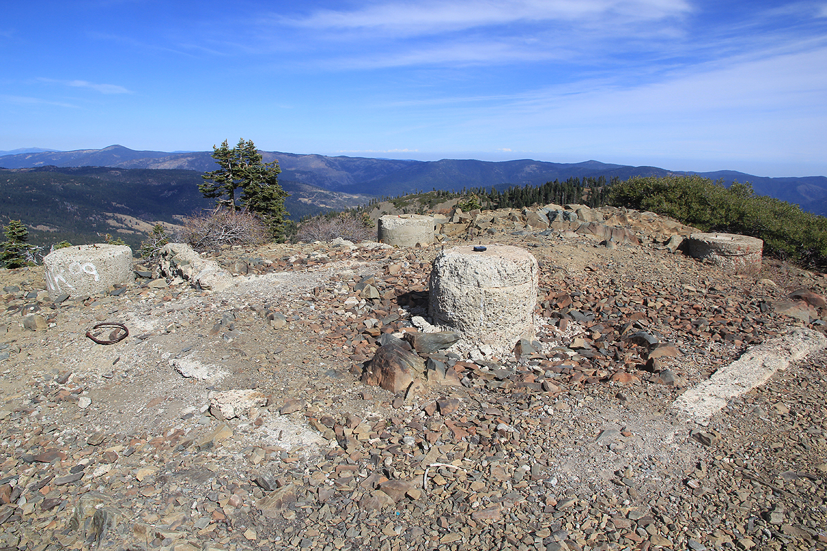
summit, arriving there at 1330. This is a nice summit with a good view back
down to lake Pillsbury. The summit has an old staircase and the
remains of some structure,
perhaps an old fire lookout that has since been removed?
My next and last objective on this trip was Sanhedrin Mountain
located to the west from Hull Mountain.
Here is a map with an overview of all my travel in Mendocino on this trip.