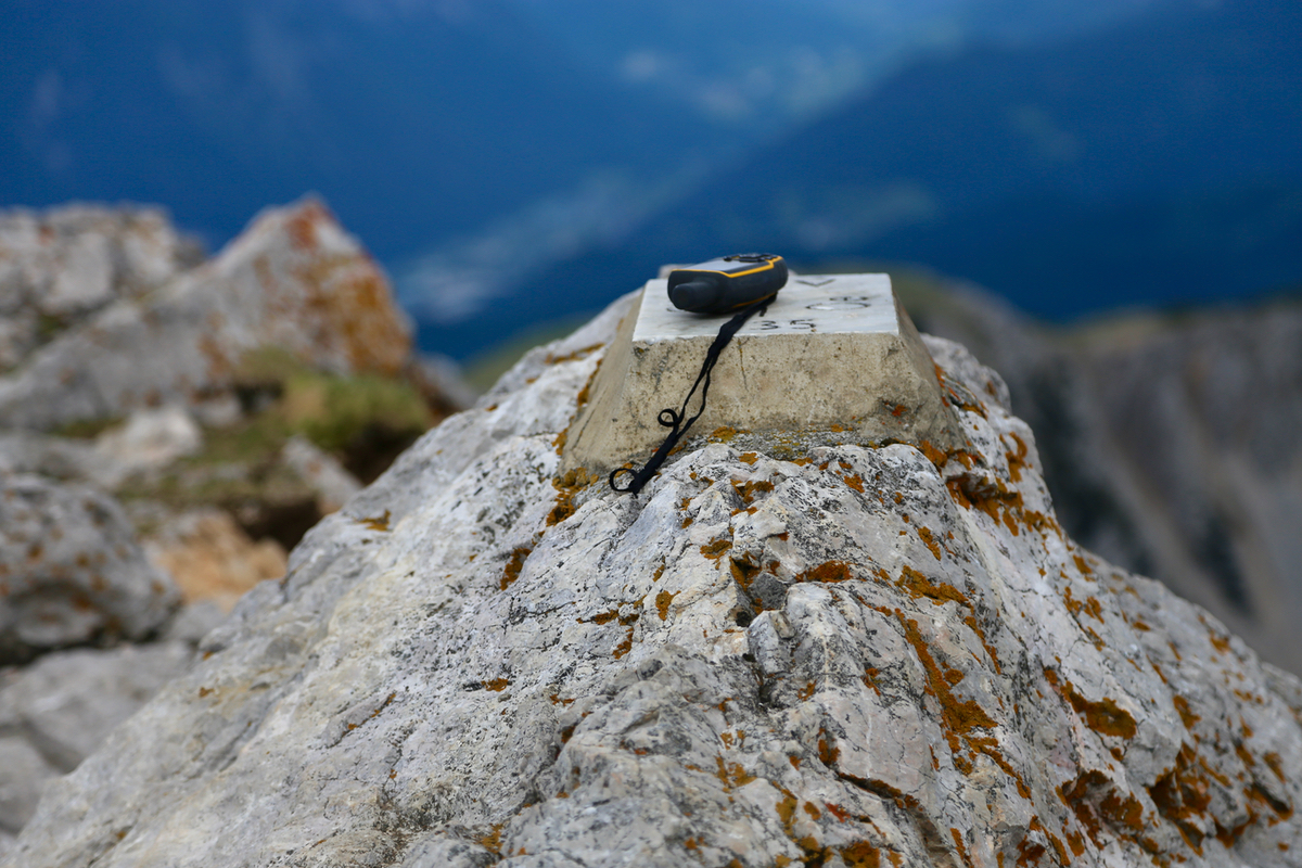
Location: North 46.43398, East 014.17400 (GPS at the summit)
Difficulty: YDS class 1
Climbed June 3. 2017.
Information:
How to get there:
Here, we describe the normal way from Slovenia. The peak may also be climbed from
the north, starting in Austria.
From Villach in southern Austria, drive A-11 signed for Slovenia. This road crosses
into Slovenia via a long tunnel (toll). Continue south-east for a short distance after
exiting the tunnel. Look for an exit to Jesenice. In Jesenice, continue south-east on the
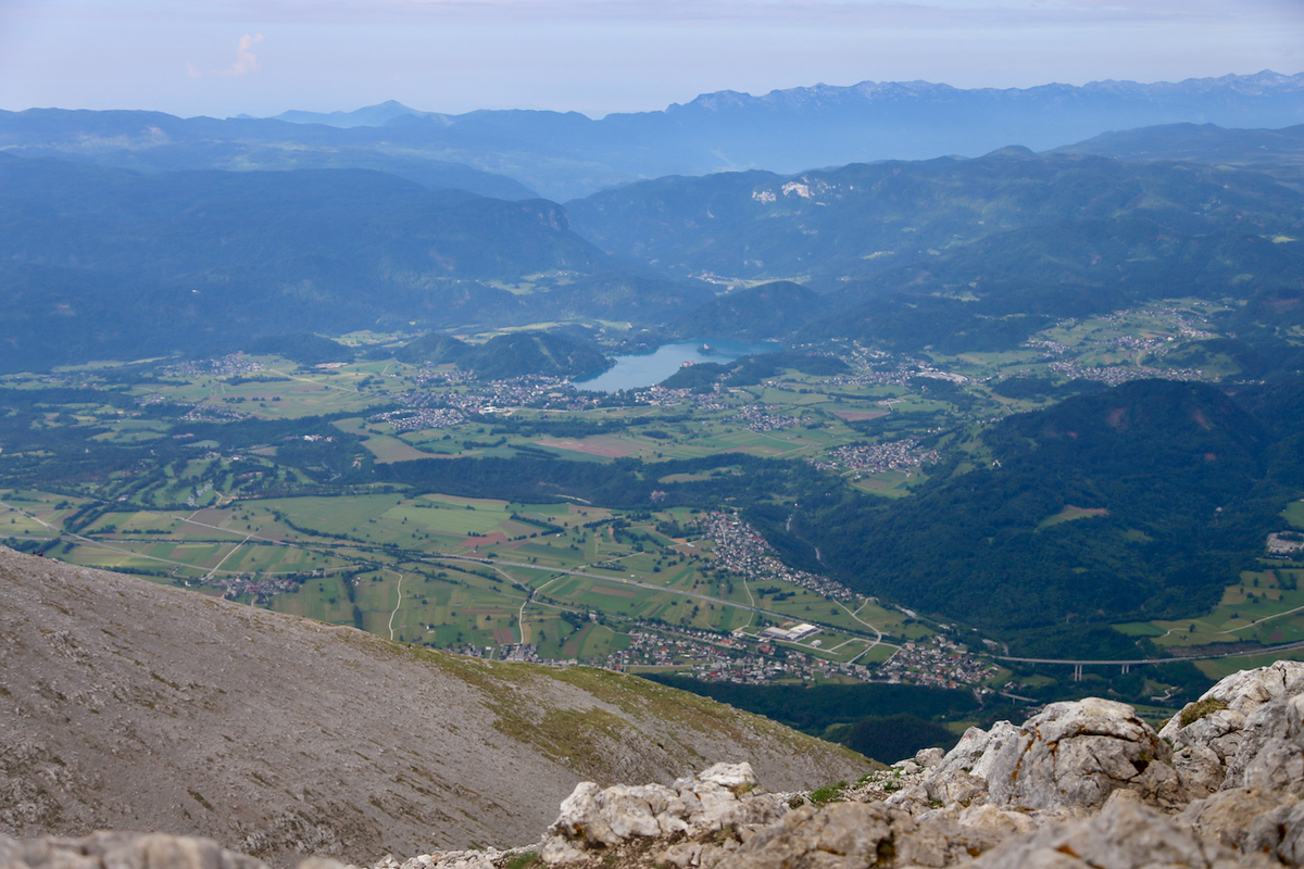
main Hwy. that runs through town. Continue along this road, eventually, there is a lake
on your right hand side, unfortunately, this lake is hard to see from the road. When
this lake ends and before the road bends right (and head for the valley floor), make a left turn
at location N46.41131, E14.12904. Continue on this road until the forest road that
serves the hut Vxxx Dom, forks left at location N46.40737, E14.14433, this is just before the road
gets to a small lake. Follow this road uphill as it climbs, there is at least one fork
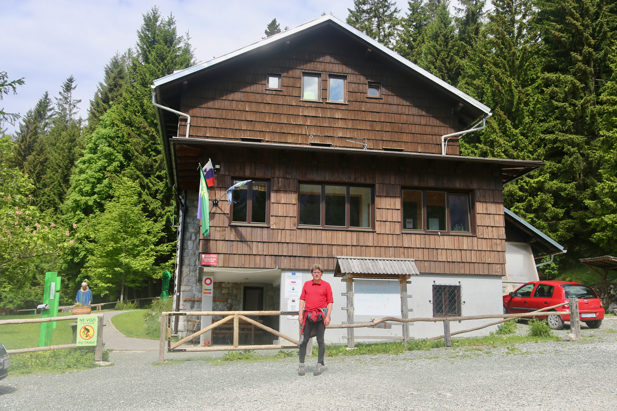
where one should keep left. You will arrive at a small parking lot in front of
the house Vxx Dom.
This location is N46.42590, E014.14688, elevation about 1180 meter.
Route description:
Locate the trail sign that points directly across a very small meadow, follow this trail as it
only climbs slightly while mostly traversing the hillside to your right (when looking uphill).
The trail will soon emerge from the forest into an open
field where some farm houses are located.
Before you get to the houses, the trail turns (left) directly uphill. This trail is well marked
and quite big so no chance to get lost. The route will exit from the forest and pass through a
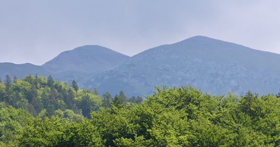
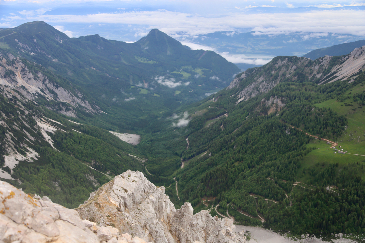
section of low pine brush before entering open land. There seems to be two summits ahead with
a small valley/gully between them. The correct (main) trail turns slightly right and climbs
the rightmost summit. This summit has a hut near its top. As you traverse across it, you will
find that the col between these summits is quite high, the trail only descends perhaps 25 meter
before the last section, ascending the right summit, significantly higher than the summit
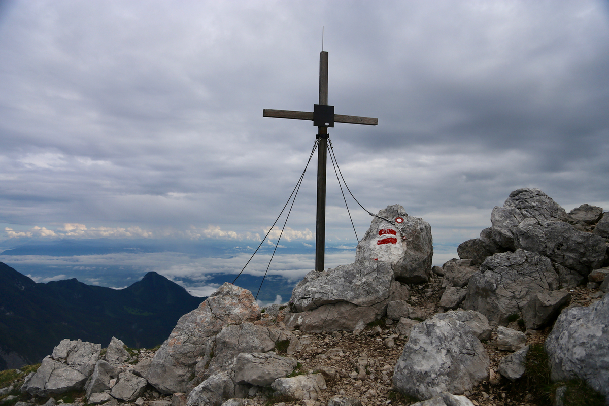
you just traversed across. There is a border marker
between Austria and Slovenia at the summit.
There is a traditional cross a bit further
downslope on the main ridge going west.
Comments:
Åke and I had decided to climb some summits in Austria during this
long weekend. The plan was to stay in the north-west, thus flying to Zurich
was quite convenient. However, as I called the hut on the
Köllingspitze, they informed me that a late snowfall made the intended
routes still dangerous and that nobody has started the climbing season there yet.
Added to this was the updated forecast calling for continuous rain all
weekend. The situation called for a plan B, as I arrived at the airport, I told
Åke that we were going to the area near Villach in southern Austria instead,
hunting peaks with less snow and better weather.
After a long drive, we spent the night in Jesenice, left early and were ready to
hike from the trailhead at 0700. The hike was nice and we caught up with a surprisingly
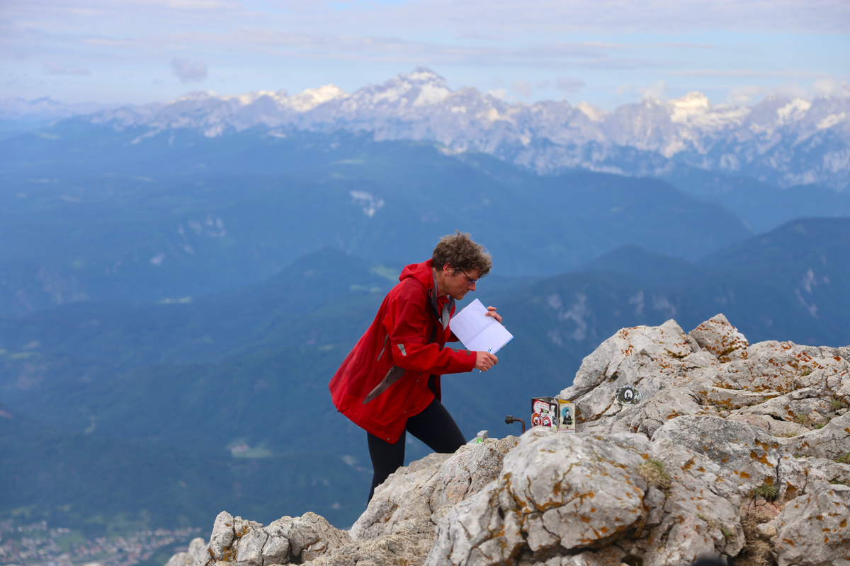
large number of hikers that had started before us. We arrived at the summit at 0845 in
good weather and with several other parties around.
Leaving at 0900, we descended directly down the ridge and merged back onto our
ascending route about where it left the vegetation behind. The descent was nice and
easy as we returned to our car at 1020.
It was still early in the day and we decided to try for two more summits, both
supposed to be very short and easy climbs. Thus, we travelled towards
Wöllaner Nock.