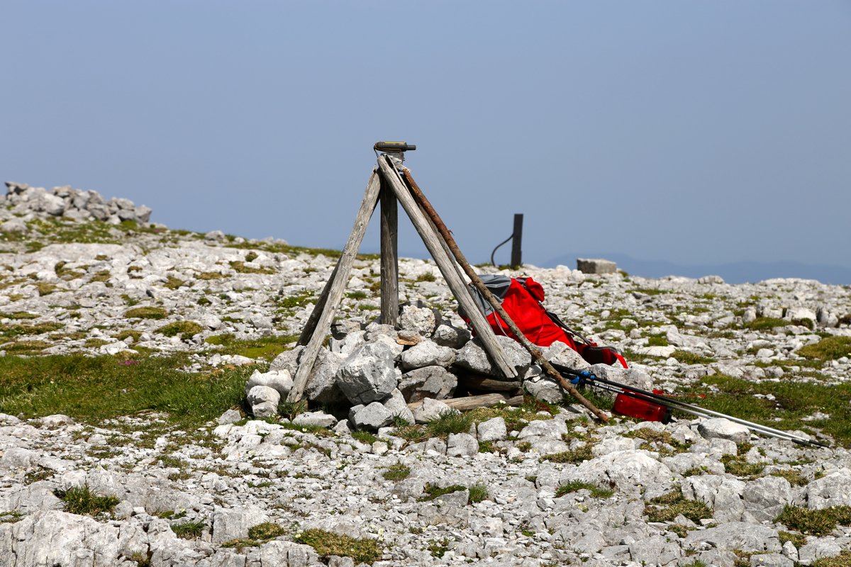
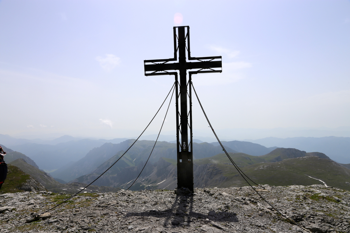
Location: North 47.61813, East 015.14272 (GPS at the summit)
Difficulty: YDS class 2+
Climbed June 14. 2015.
Information:
How to get there:
Locate Hwy. 20 running north to south, (Mariazell to Graz). Next,
find the small village of Thörl. Quite close to an old castle, a road signed St. Ligen forks north.
Follow this (paved) road 11.7 kilometer to its very end. There is a large parking and a nice lodge called
Bodenbauer. This place can be recommended for an overnight stay. The location is
N47.58027, E015.11301, elevation about 890 meter.
Route description:
Walk further along the small road towards the mountains. Fork right two times.
The route is obvious and well marked with red/white paint. The path climbs up
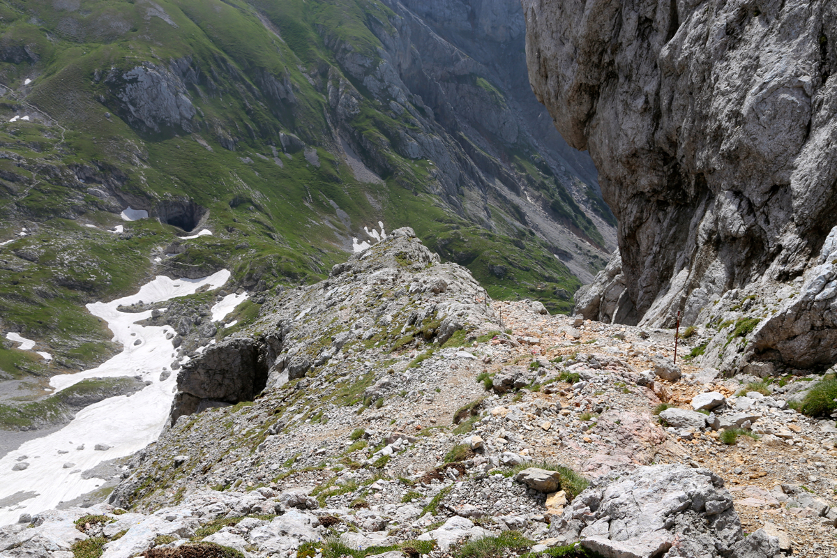
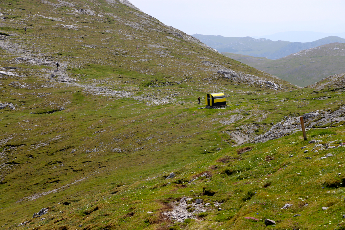
close to the cliff, then climbs nicely up into this small, alpine valley directly
below the mountains on the south side. Eventually, the trail turns left and climbs
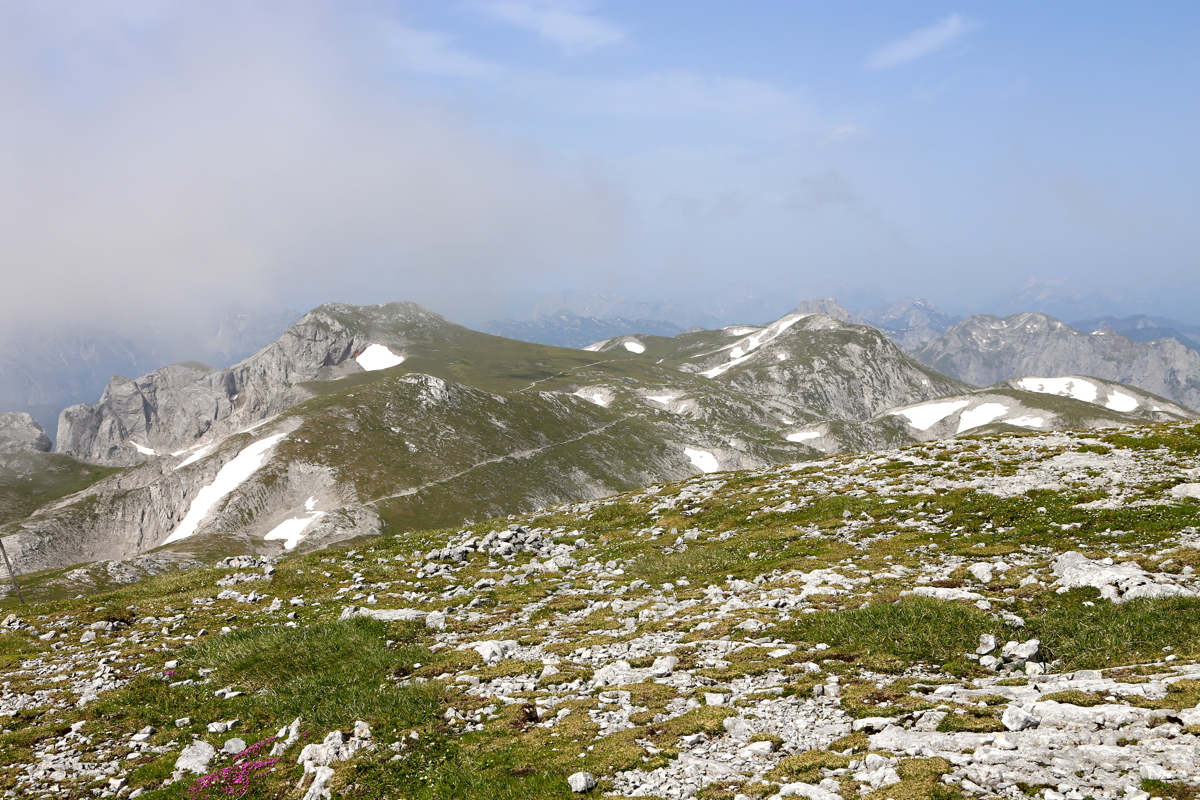
grassy slopes in order to gain a high plateau just below
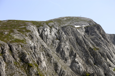
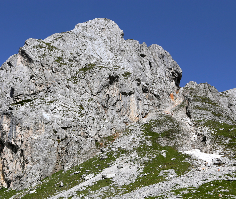
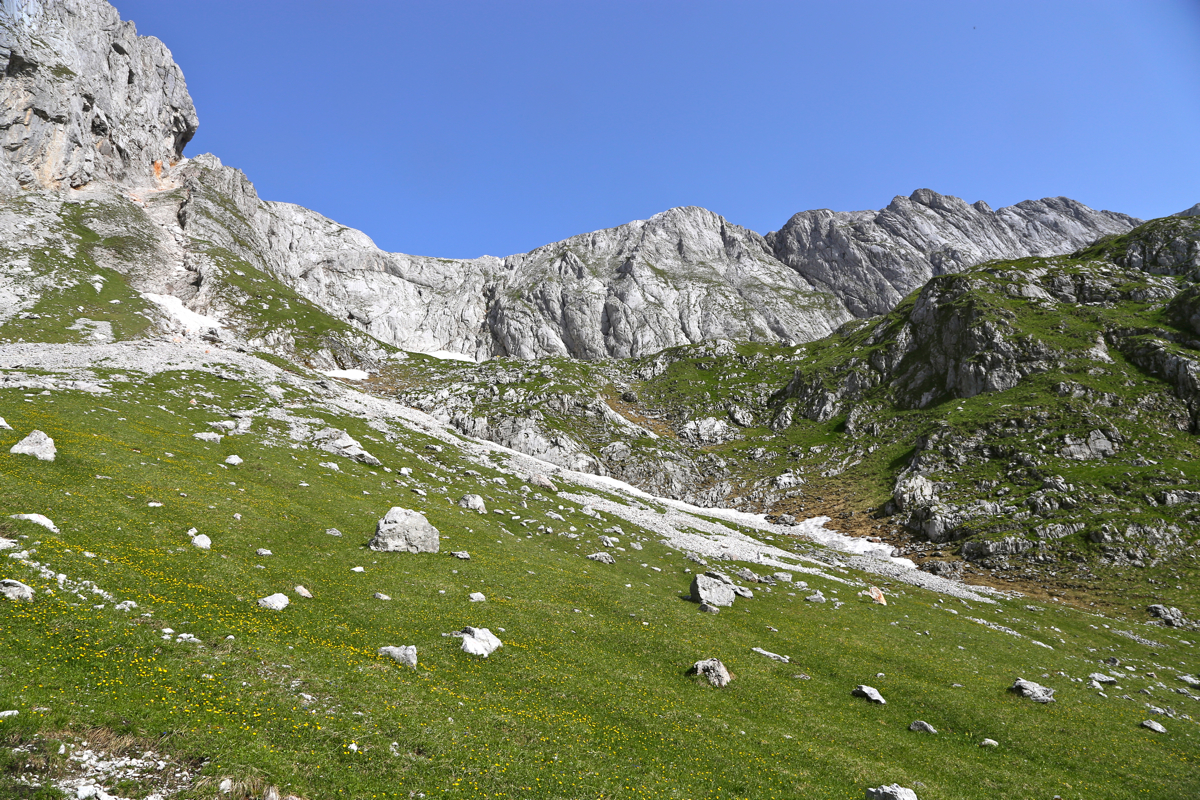
the rock face. The route
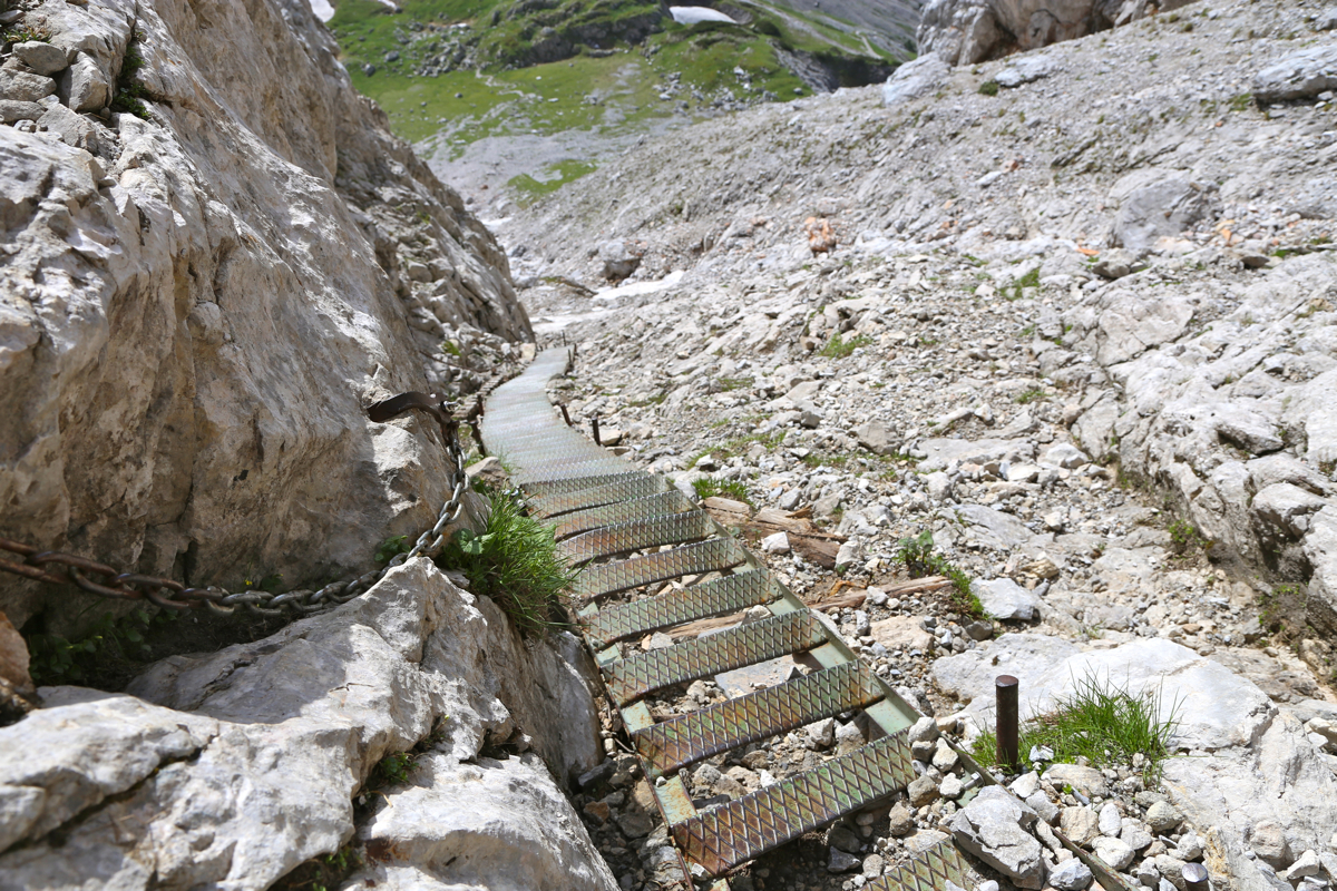
runs up a very distinct gully directly right of a prominent rock. The route is
extremely well protected, first a long staircase
with a chain as handrail. Higher up,
iron steps, cable and iron hand holds. A lot more than ordinary mountain hikers
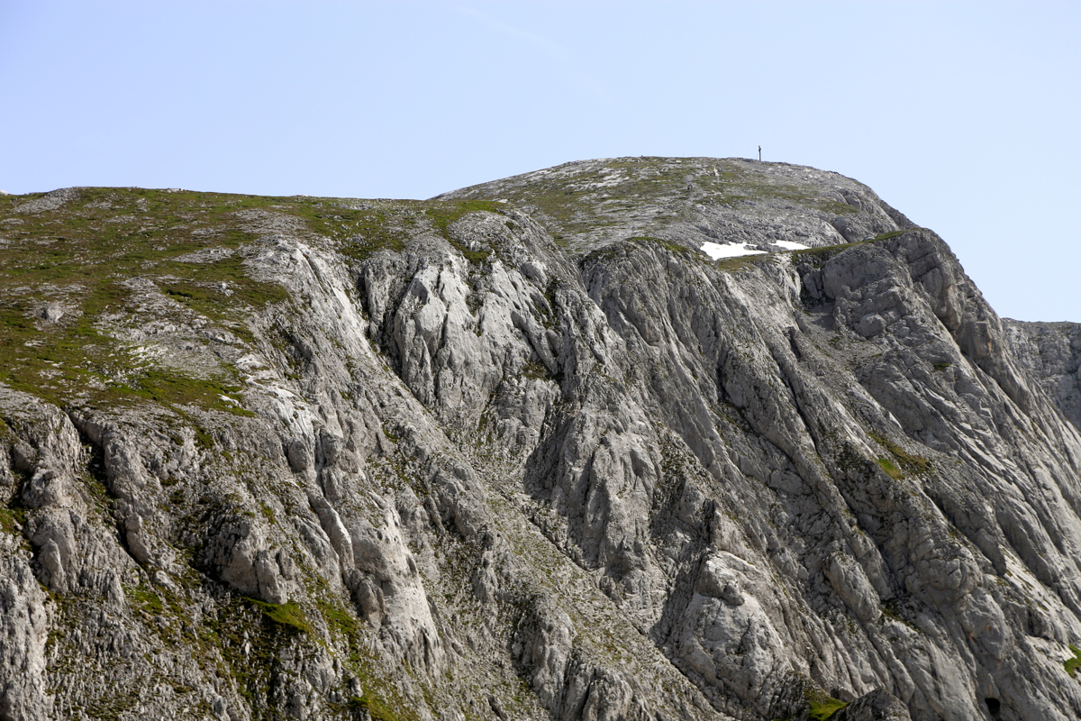
would need. The route reaches easier terrain, crosses a small hill to reach the
main saddle before a final, easy ascent to the summit.
There is a small shelter/hut
in this saddle. This route is YDS class 2+ due to the steep section, but no climbing
is required.
There is an alternative route that stays (YDS) class 1 (trail) all the way.
First walk from Bodenbauer to the hut Häuslalm. This hut is located in a saddle,
you basically fork left at the first road fork. This hut is located at
N47.58923, E015.07548, elevation about 1530 meter. From this hut, a nice and well made
trail climbs gradually, first up a small valley, then up and across more open mountain terrain
to reach the main crest. Next, this trail runs along the crest (that is more or less
east), while avoiding the local summits. This route merges with the more direct route
described above, at the small shelter/hut.
Comments:
After climbing Hochstadl, I drove to Greith where I had a nice lunch
(also breakfast), then I continued to Bodenbauer. Good place and
a nice evening dinner. A local thunderstorm came around 1700 with heavy rain.
Now, by 2000, the sky is blue and there is sunshine on the high peaks.
I decided to wait for breakfast, it was scheduled at 0700, but was ready at 0645.
I left at 0705. A nice morning and a nice trail took me up to a pretty enclosed alpine
valley. Higher up, the steeper section turned out to be quite easy with
massive amounts of cable, chains and steps. I arrived at
the summit around 1030, there
were several parties there, most likely arriving from other directions.
After a 20 minute break, I headed back down. The weather seemed to hold and I
decided to make this a loop hike. After 2 hours I was at the
Häuslalm hut. A big, cold beer was just too nice to pass, a 15 minute
rest was not bad indeed. The clouds looked kind of omnious by now and at 1305 I continued
hiking down towards the valley floor and Bodenbauer. I arrived back at 1405, the first
thunder came just 2 minutes before I was back.