Location: South-East of Klagenfurt, Austria (near Slovenia).
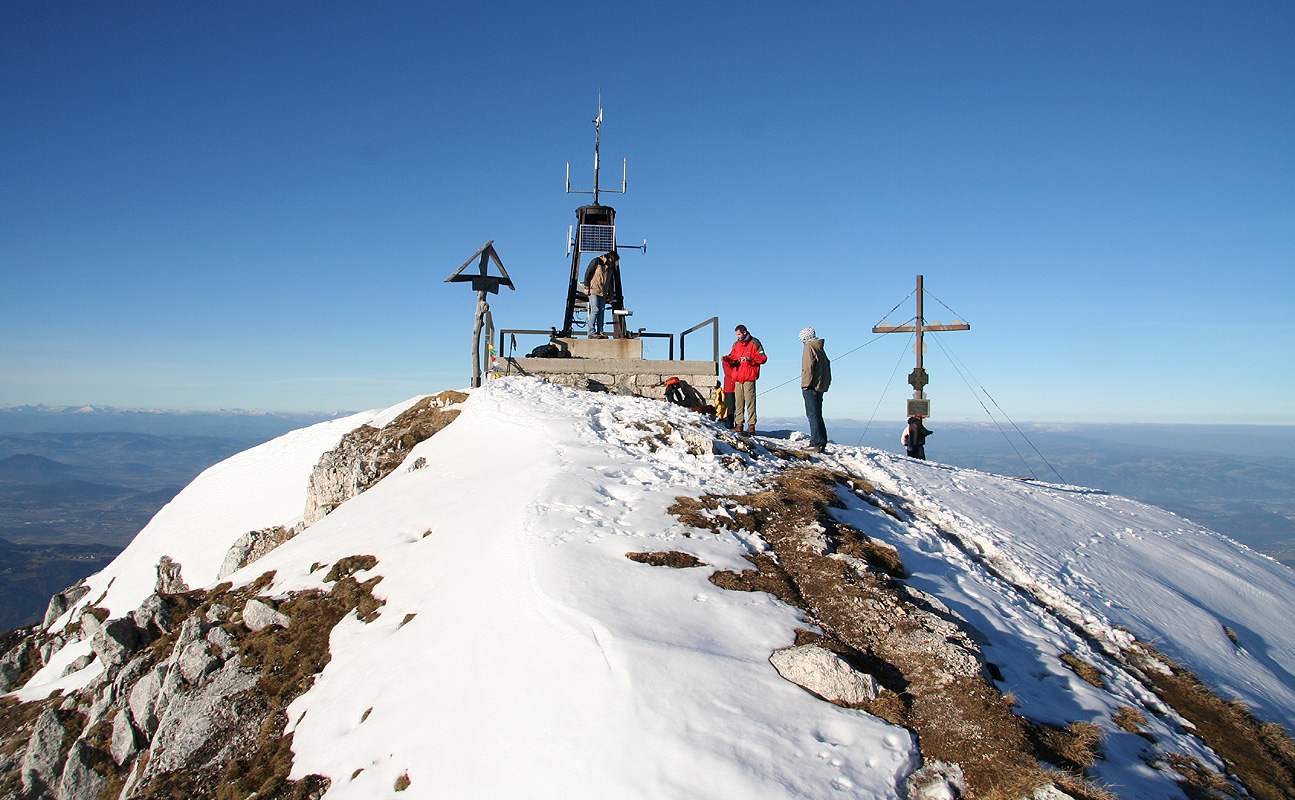
Location: North 46:30.362, East 014:29.226 (GPS at the summit)
Difficlty: YDS class 1.
Climbed November 4. 2007.
Information:
How to get there:
This mountain is located south-east of Klagenfurt. Locate Hwy. 85 going east-west south of
Klagenfurt and Hwy. 82 going north-south, east of Klagenfurt. These two roads meet in
a T-junction. Find your way there and measure from this junction.
Continue south on Hwy. 82, at kilometer 6.4, you enter Bad Eisenkappel, make a right.
Shortly, at kilometer 6.6, there is a traffic circle where you also go right.
Turn right onto a new and smaller road at kilometer 9.3. This road climbs the hillside among
small farms. At kilometer 14.4, make a sharp right turn onto the small road that serves the
Eisenkappler Hütte. There are signs here. At kilometer 15.7, the road curves left and
there is a gate (that might be closed in winter). In summer, they may collect toll here.
Continue uphill to the parking area at
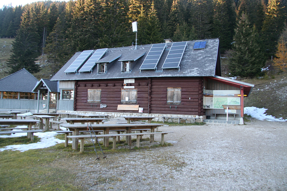
the Eisenkappler Hütte at kilometer 22.4.
This is the trailhead, location N46:30.099, E014:30.693, elevation 1553 meter.
Route description:
The trail heads uphill on the right side of the hut (as seen when facing uphill). There are
yellow signs giving the direction. The trail is marked with the usual white and red paint.
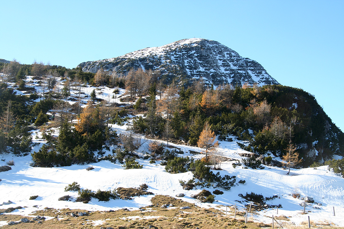
The trail first zig-zags uphill through the forest, then emerges on a shoulder from where you
can see the summit higher up.
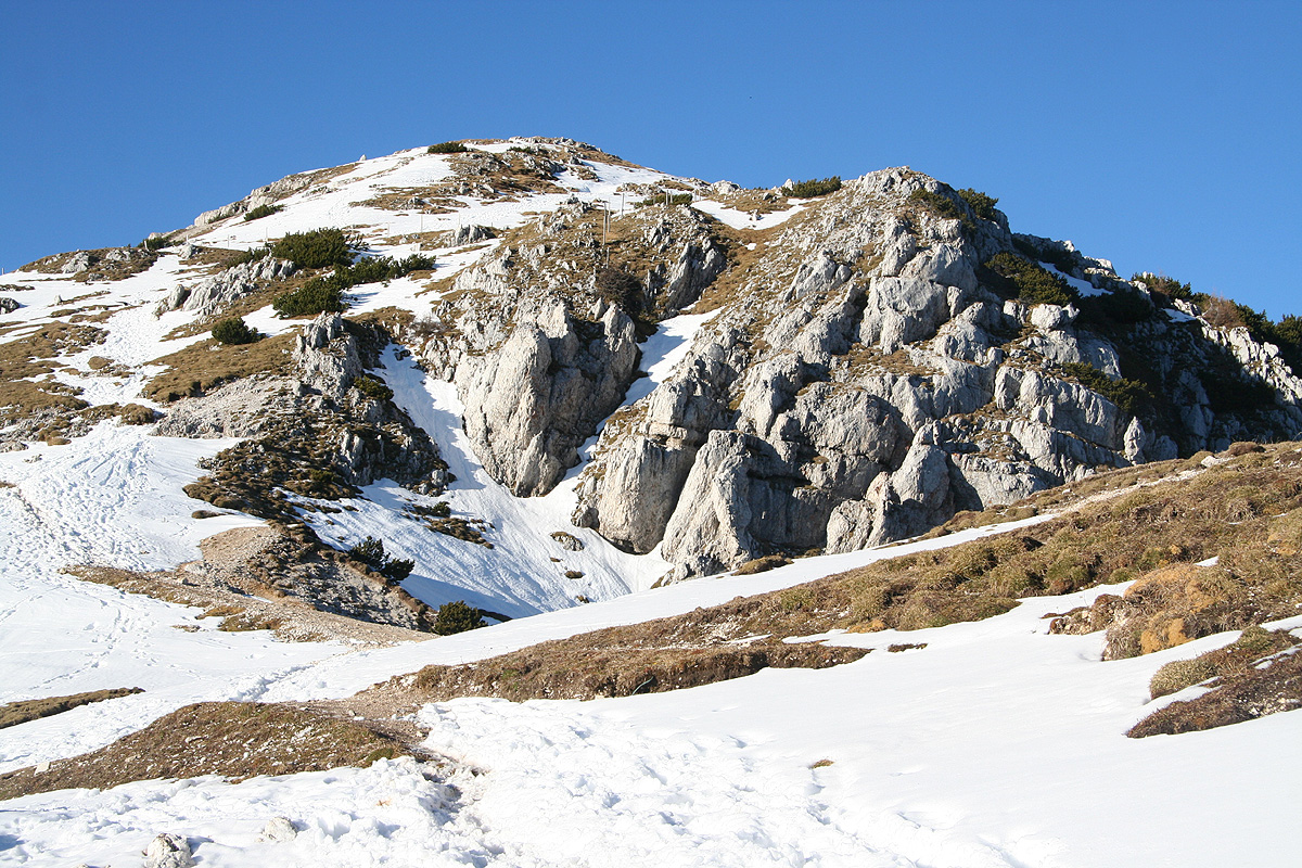
The trail climbs gently across the obvious ridge, contours a little
around the left side of the last top before the main summit,
then ascends to a local saddle, before
going more right to the summit of Hochobir. Comments:
As I drove south after my nice, but foggy morning on
Ameringkogel, the weather improved considerably.
By the time I was approaching Bad Eisenkappel, there was blue sky everywhere. Still, several
hours before it would get dark, I decided to explore the road to the trailhead and possibly
moving tomorrows climb to an afternoon excursion.
The road had signs saying it was closed for the winter, but the gate was open and the road could
be driven all the way up to the parking. The parking area had a considerable number of cars, obviously
this was a popular destination. Many people had taken this, possibly last opportunity of the season
to climb Hochobir.
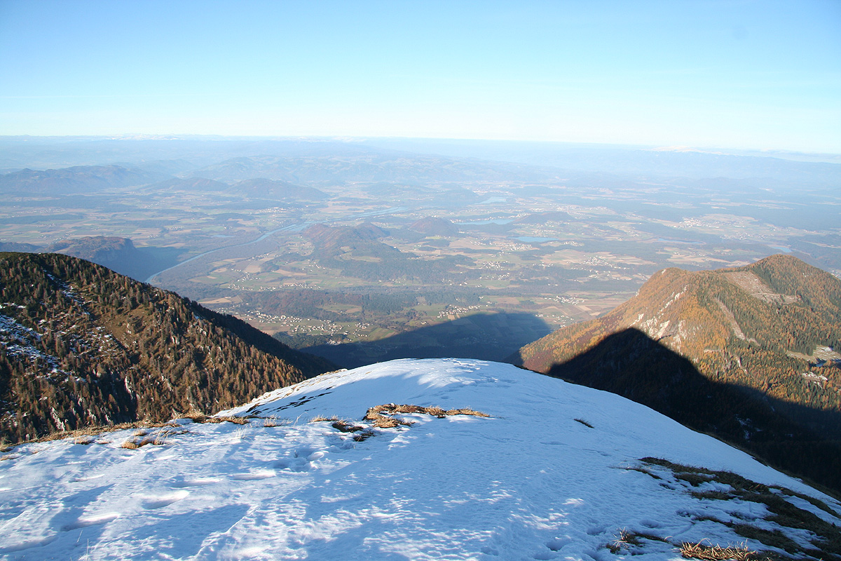
I started out at 1345 and made the summit in slightly less than one hour by 1445. A very nice top where
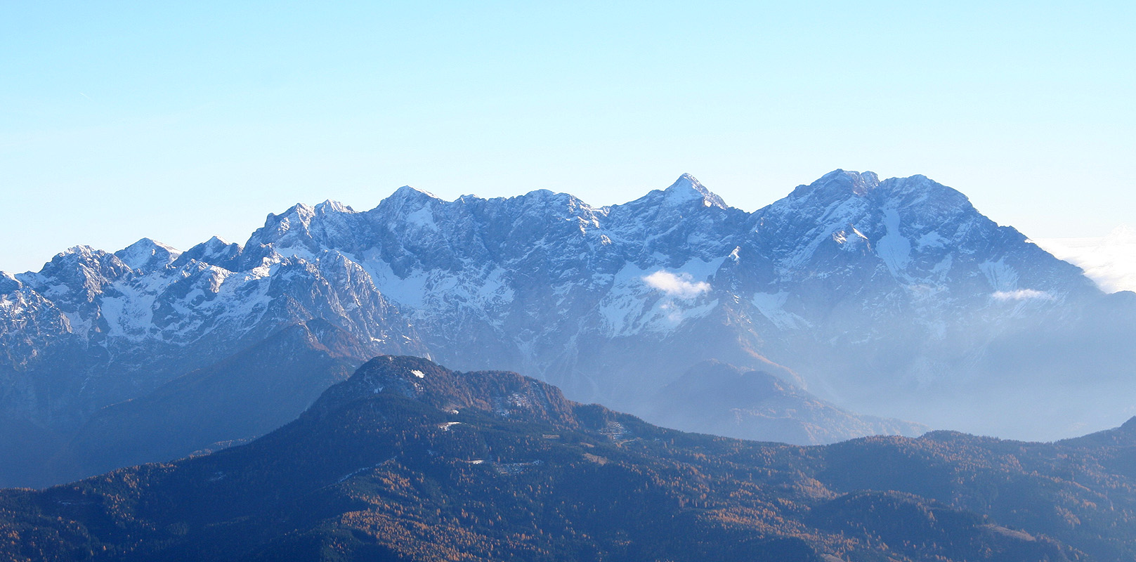
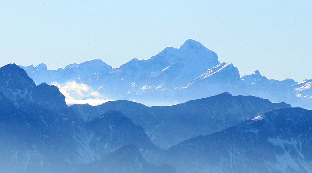
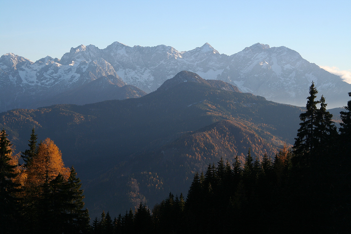
a stop to just look around seemed well deserved. Grintovec
to the south seemed close and looked
very impressive. Triglav, now to the west, similarly reminded me of how close
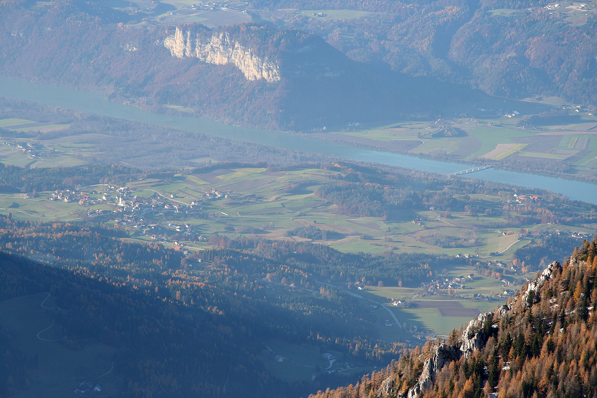
to Slovenia this summit is located. The river Drau, far
below, making its way eastward as the
landscape really opens up.
I stayed around for 20 minutes before heading downslope, reaching the
car at 1540.
The last rays of sun was hitting Grintovec,
it would soon be dark and I needed to make some new plans. This peak had been scheduled
for tomorrow. Now, I needed a new objective on my way home to Linz. After a quick consultation
with the map, I decided to drive towards Mirnock and make this
mountain the last goal of the weekend.
