Location: North 47.45845, East 011.76481 (GPS on the summit)
Difficulty: YDS class 1
Climbed: June 30, 2013
Information:
How to get there:
A good starting location is the village of Maurach.
This is less than 2 hours by car from the airport in Munich.
Drive on the autobahn towards Innsbruck and take exit 39-Wiesing, Hwy. 181
towards Achensee.
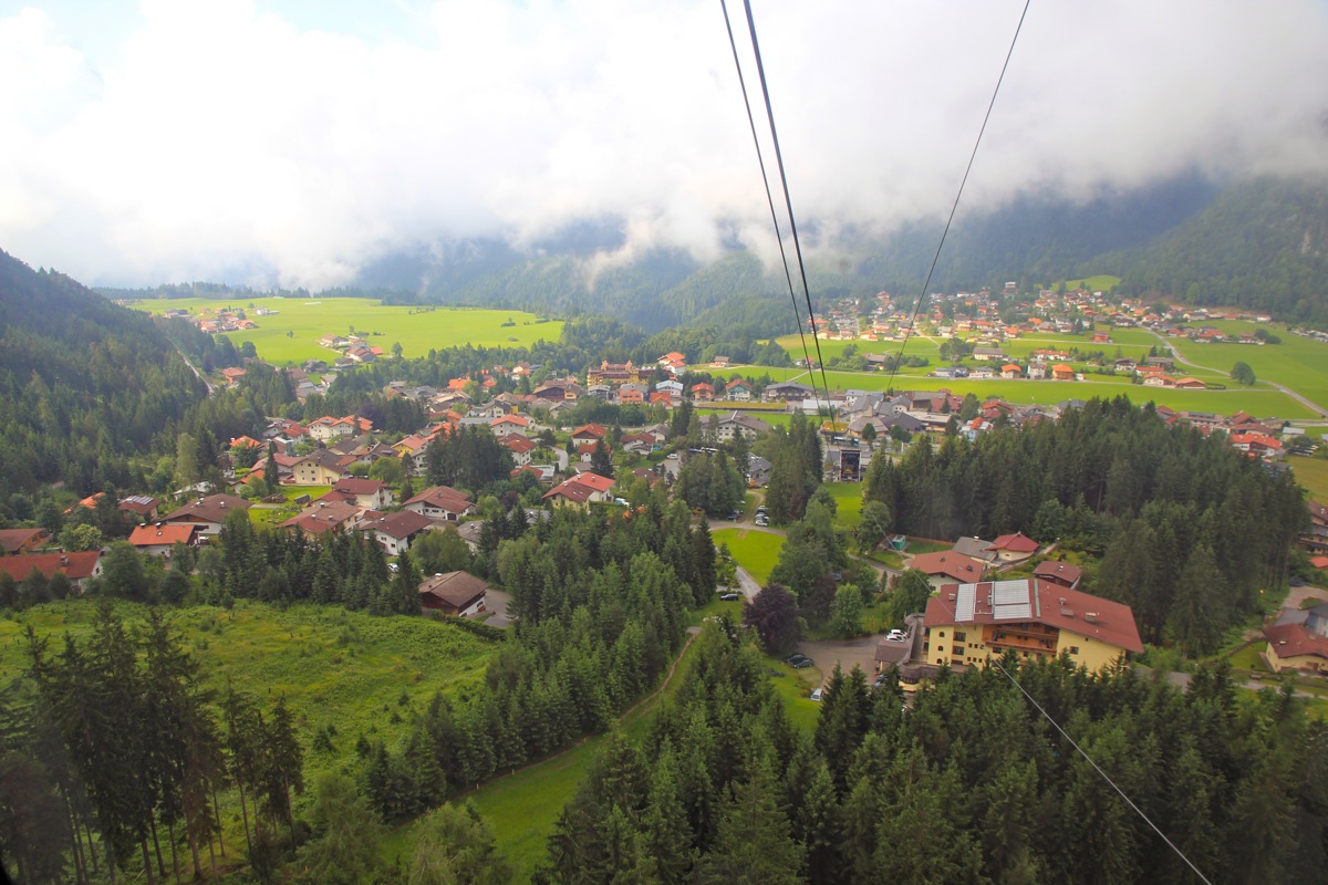
Drive uphill about 9 kilometer to Maurach. There is a gondola
lift in Maurach, called Rofan Seilbahn.
It runs every 10 minutes in summer (cost for a round-trip was Euro 18 in 2013).
This is a good starting point for most hikes in this small, but very nice mountain group.
Route description:
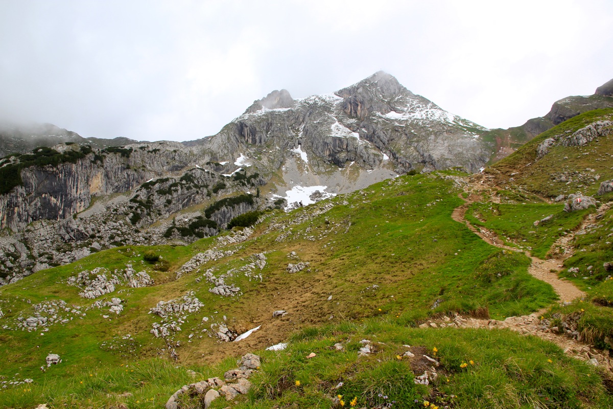
Hike down the small hill and locate a trail sign that points you to the correct trail. This trail
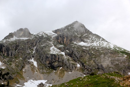
is called trail 413, Hochiss. It starts out climbing the right hand side slopes of the small,
characteristic peak Gschöllkopf (2040m), directly
uphill. (This picture is from the opposite side, that is, the route comes up just left of the
peak in this view.) Next, the trail traverses a slope
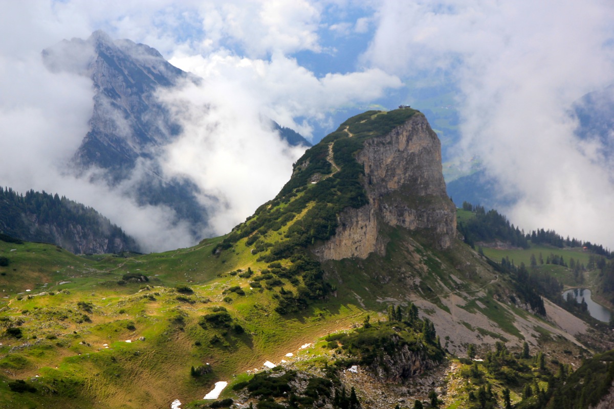
in order to reach the col just east of Hochiss.
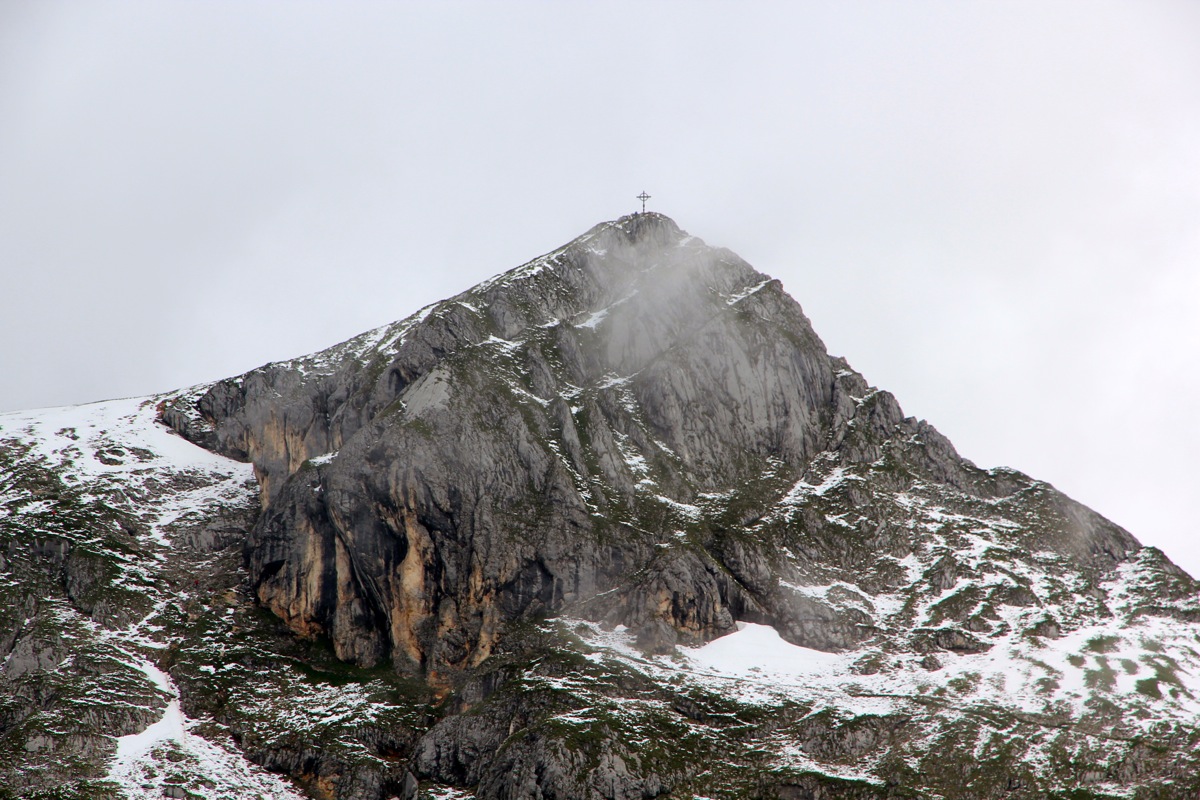
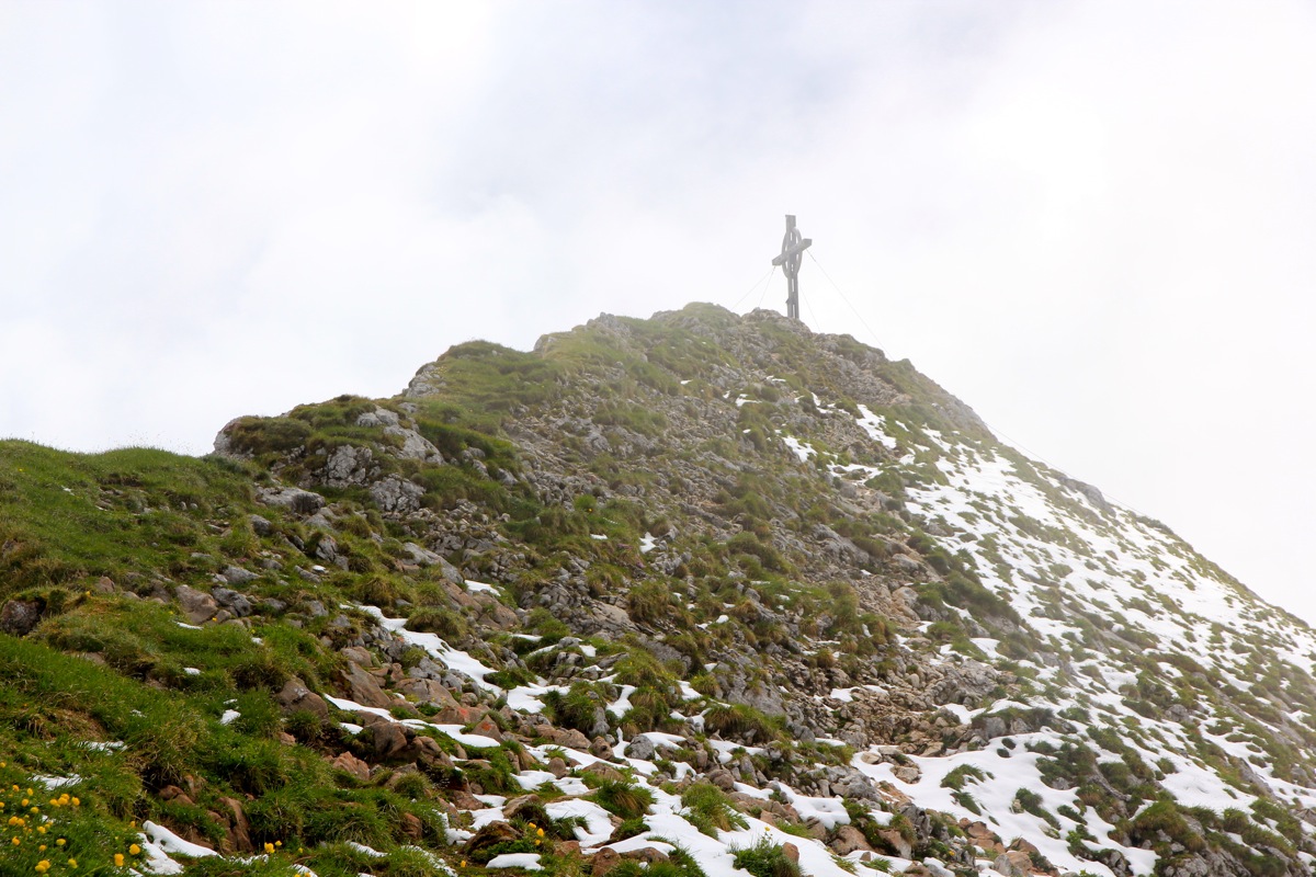
From here, another
traverse across the south face of Hochiss, then
climb to the west ridge. Finally,
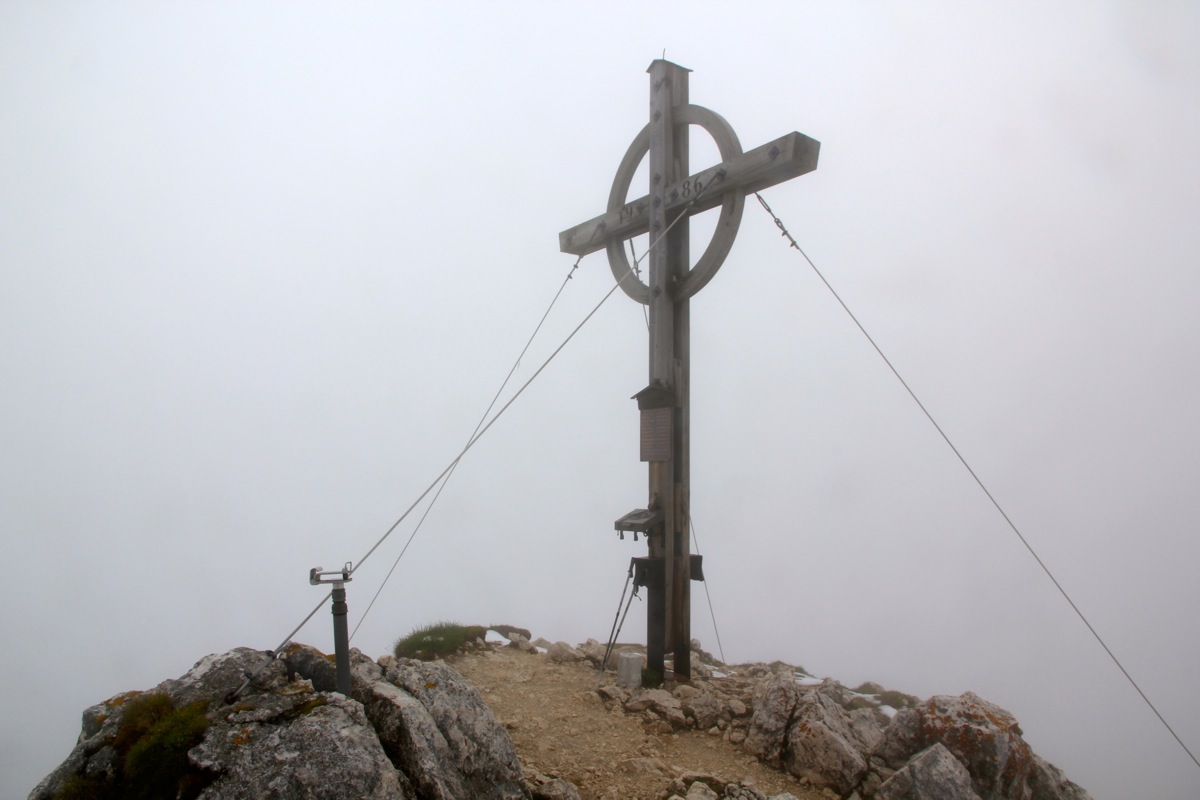
a short and easy stroll to the summit cross. Comments:
We had climbed Birkkarspitze on Saturday and today was going home day. Hochiss looked like a nice
candidate for a short morning hike. We took the gondola lift and I was ready to hike around 0930.
The weather was nicer than the forecast, partly cloudy and short periods with sunshine. I arrived at
the summit at 1030, - one hour.
After 15 minutes there, I descended back to the top station in 45 minutes.
Thus, we had reorganized and packed all gear, ready to drive towards Munich by 1200 - noon, according to plan.
This concluded a nice trip (despite mainly bad weather) to Austria, completing the climb of all 12
Austrian ultra prominent mountains.
Thanks to Pål Jørgen for good company!