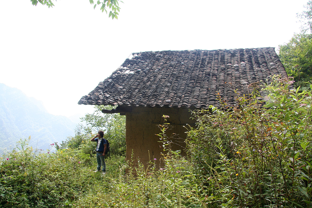
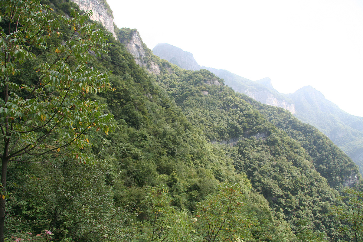
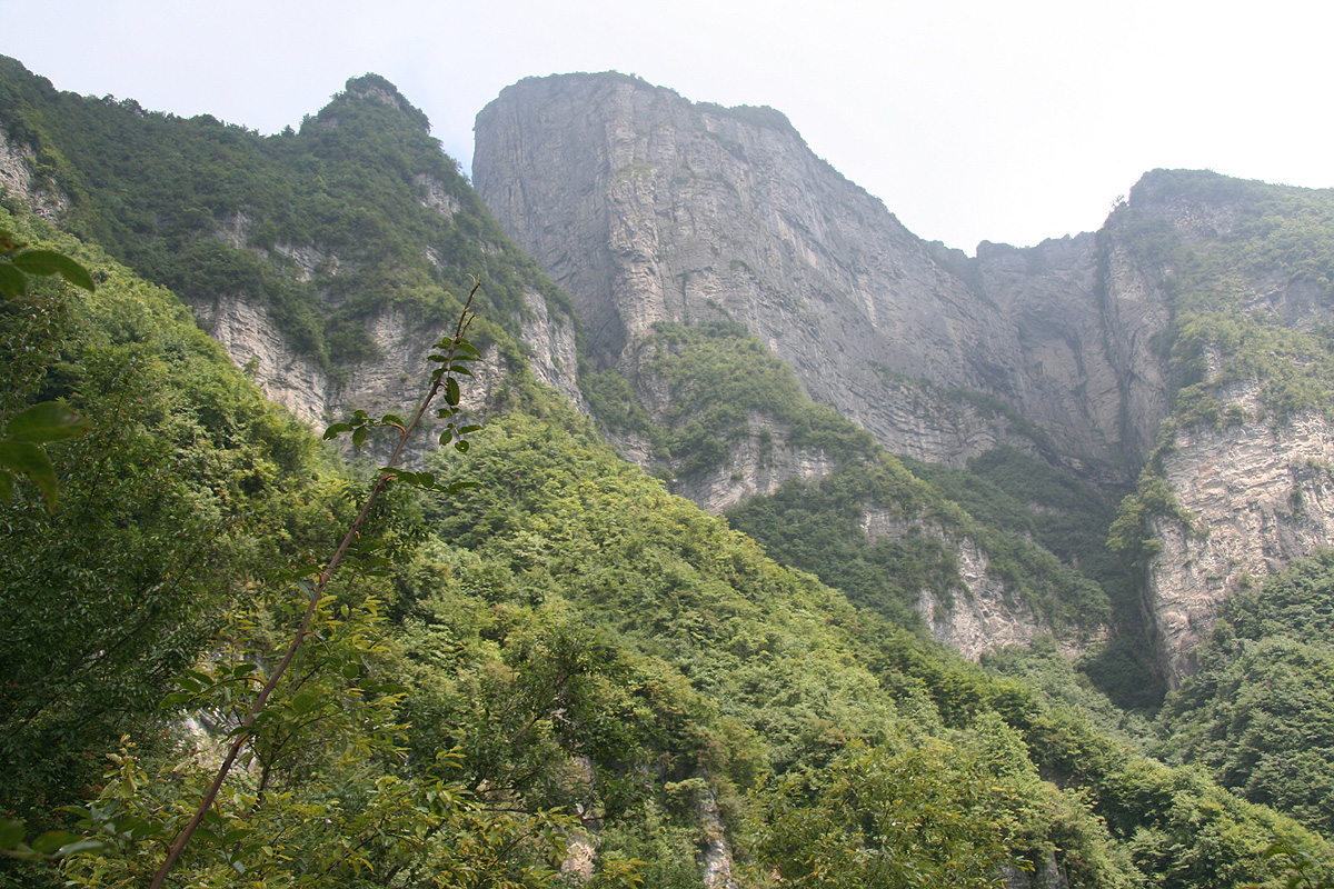
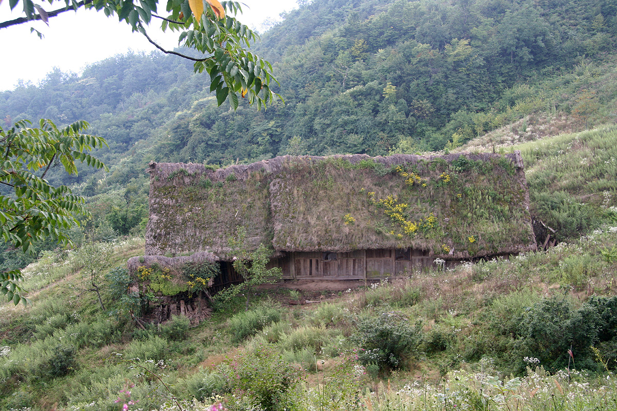
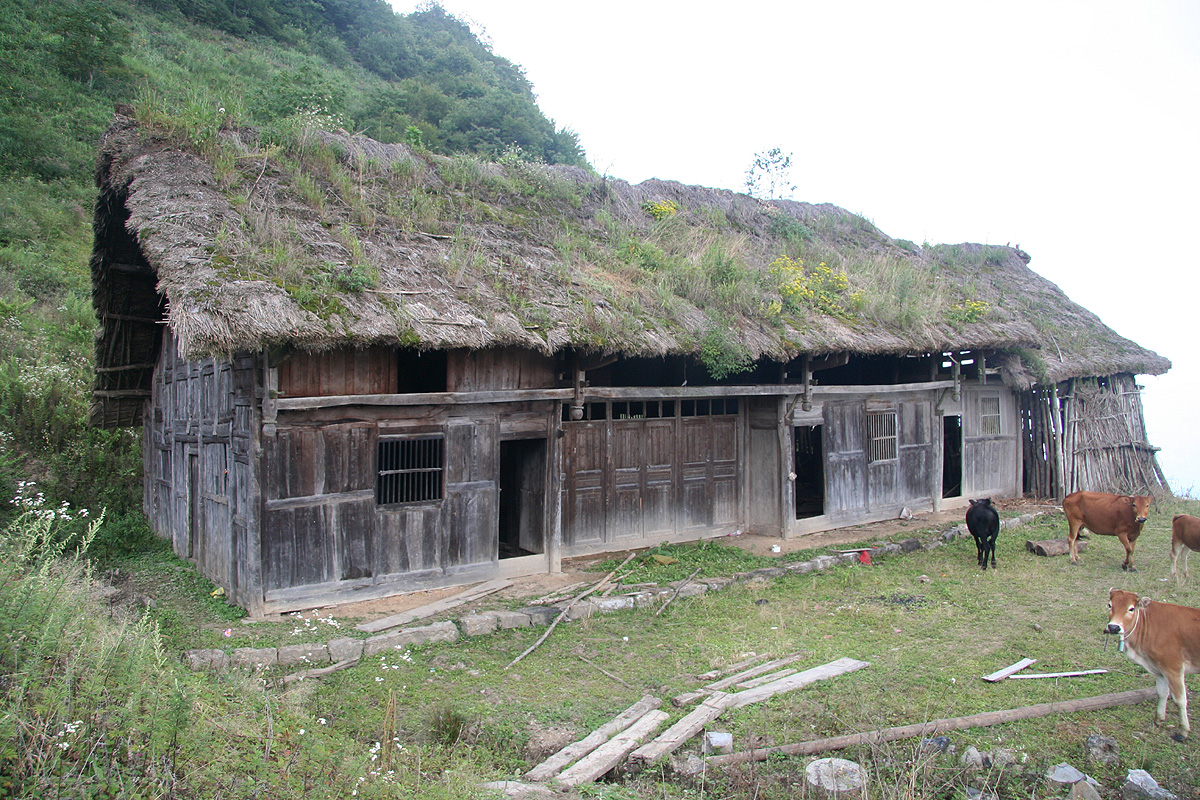
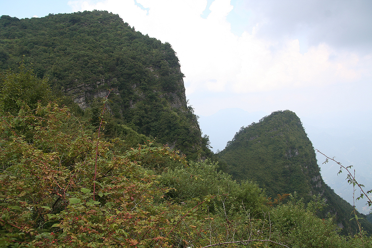
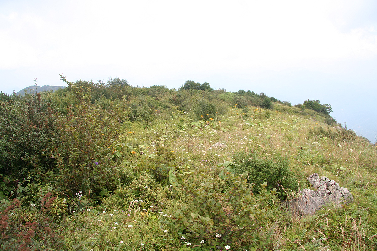
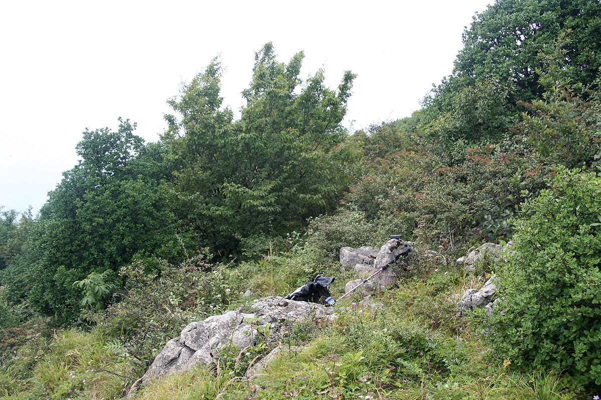
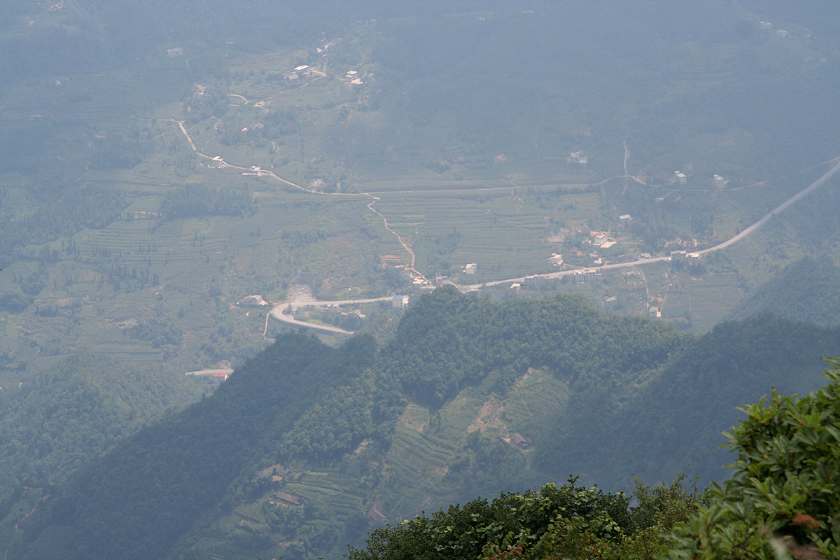
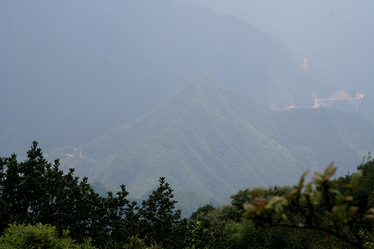
Bai Yi Zhai (He Feng Jian)
- Bai Yi Zhai (He Feng Jian)
- 2323 m
- Primary factor 1658 m
- Location: North 30:14.072 East 110:34.633 (GPS at the summit)
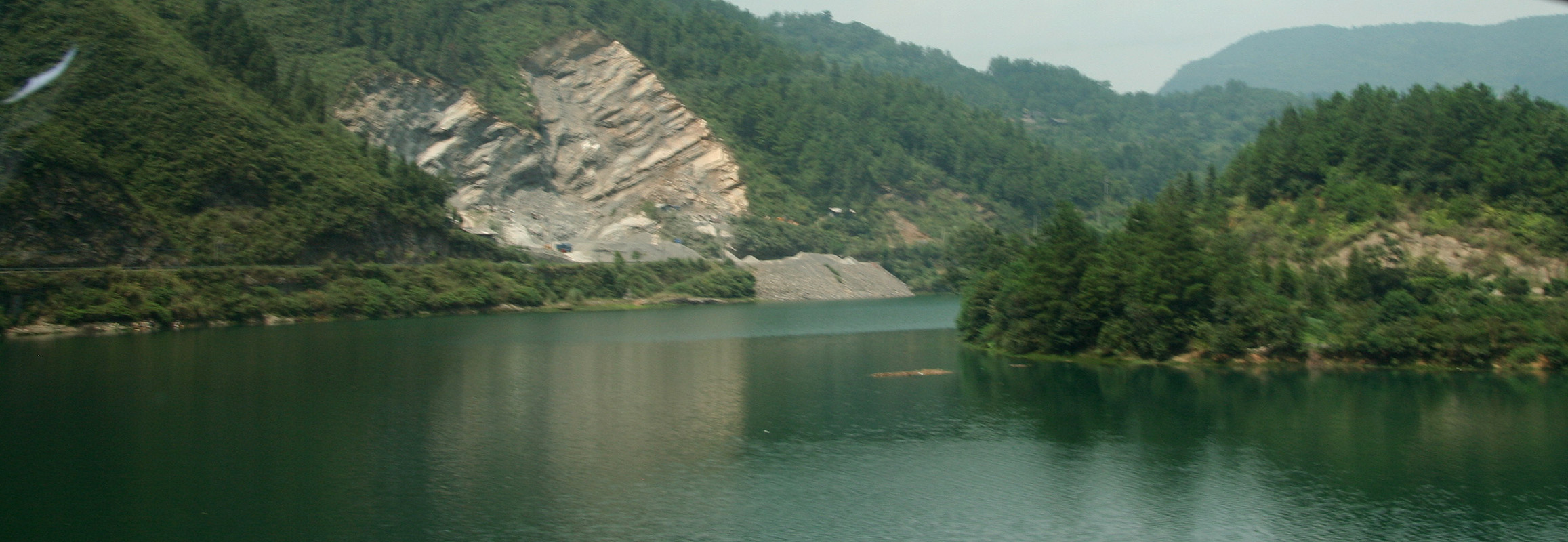
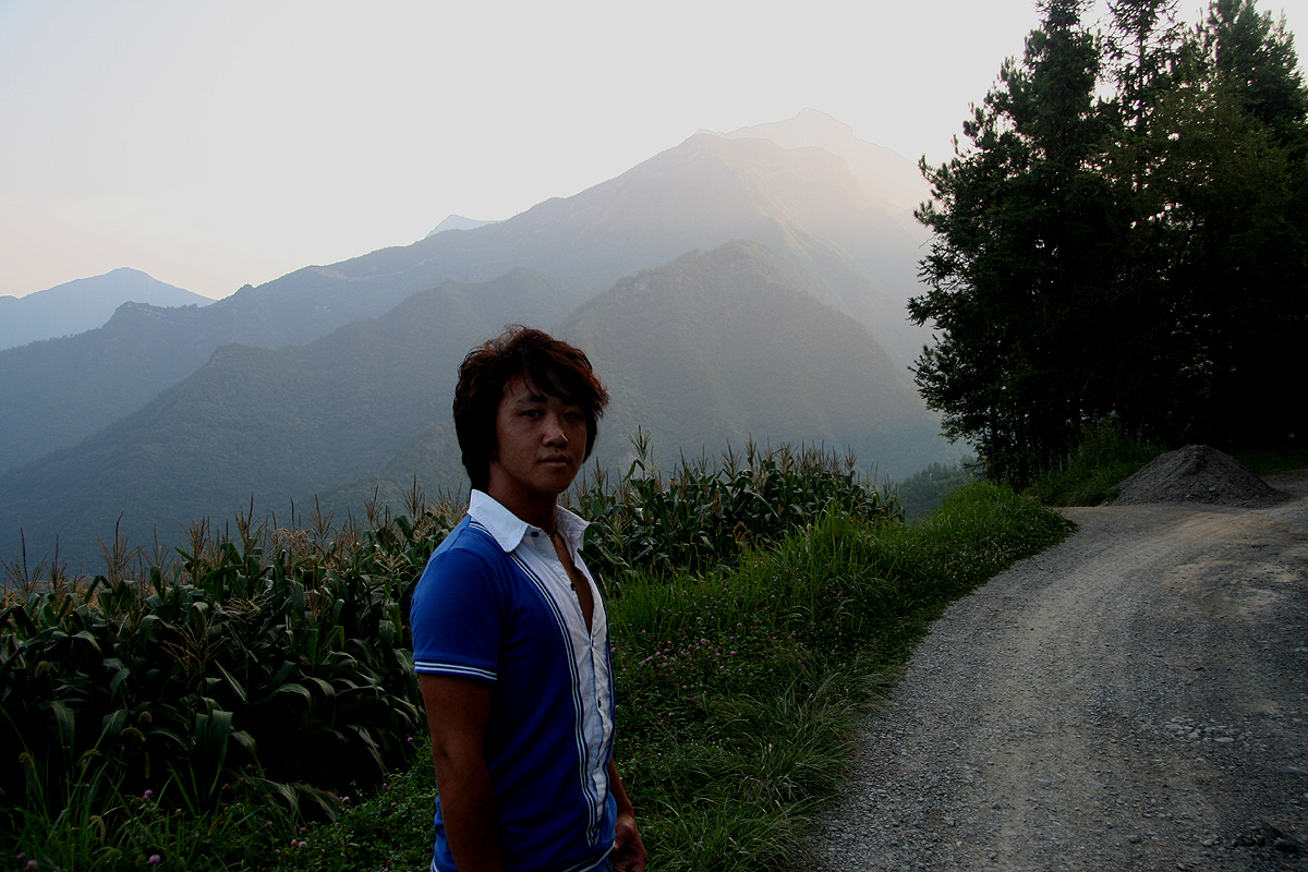
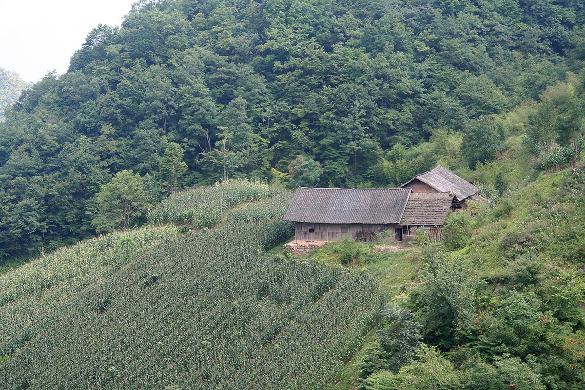
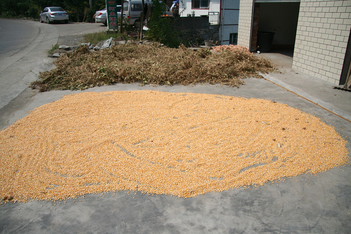
- Location: Hubei, China
- Difficulty: YDS class 1
- Climbed: August 22, 2009
- Note: The mountain is called Bai Yi Zhai, the highest summit is named He Feng Jian.
