Grigna Settentrionale
- Grigna Settentrionale
- 2410 m.
- Primary factor: 1687 m.
- Near Como Lake, Italy
- Location: North 45:57.202, East 009:23.252 (GPS at the summit)
- Difficulty: YDS class 2+
- Climbed: July 18. 2007
Grigna Settentrionale
|
|
How to get there:
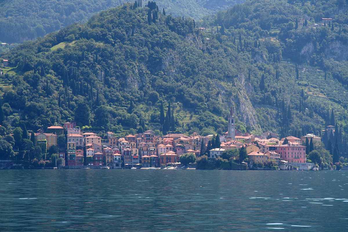
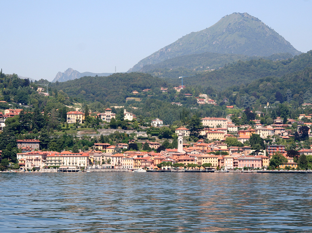
This mountain is located east of the beautiful lake Como in Northern
Italy. From Milano, go north to Lecco, then continue north along the
east side of lake Como to the small and charming village of Varenna.
Measure from the plaza in front of the church. Continue north through the
narrow village streets 0.6 kilometer, observe the roadsigns pointing right to
Esino. Make a right turn in this direction and follow the steep and narrow road
as it climbs with hairpin curves. Follow signs that points to Cainallo.
In particular, turn right in the curve at kilometer 12.7. The road traverses to your
right into a valley, at kilometer 14.6 turn right, then at kilometer 16.4 keep left and
continue until the road ends in a large parking area at kilometer 18.4. Park here,
this is the trailhead, location N45:58.802 E009:21.762, elevation 1419 meter.
Route description:
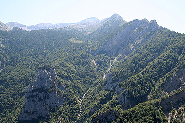
From the parking, proceed south up a broad trail that soon narrows to a more normal
size and climbs in a couple of hairpin turns. There is a large basin on the left (east),
the trail follows the ridge on its east side further south in the direction of
Grigna Settentrionale. After a while, you arrive at a trailfork. The main trail, called trail
no. 25, continues straight, while trail 19 and trail 24 climbs right in order to reach the
top of the main ridge.
Thus, there are several alternatives, the most scenic trail is no 19, that follows the crest.
Despite somewhat different marking, these trails are of similar difficulty, a few spots where some
support of hands are needed, but no climbing or scrambling. Thus, a YDS rating of class 2+ should
give a correct characterization.
In order to get onto trail 19, go right in this trailfork and gain the top of the ridge. Follow the top
a short section before you again arrive at a trail fork. Here trail no 24 forks right. This trail also
leads to Grigna, however we did not explore it. Take the left fork that stays on the top ridge.
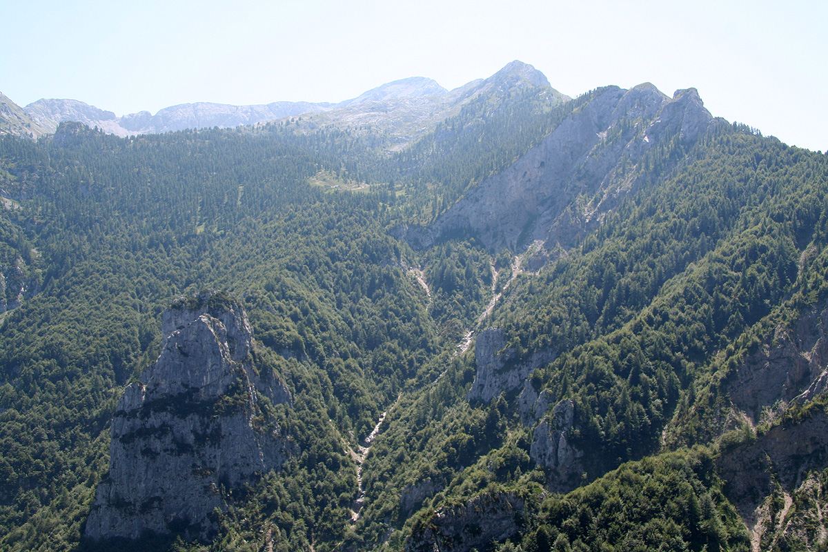
The ridge further ahead climbs steeply, but the trail avoids this by staying a bit on the right (west) side.
The route continues across a few smaller humps and cols,
the main summit comes into view. From here, the trail
traverses more left and merges with train no. 25 again just below the final climb to the summit. First in a
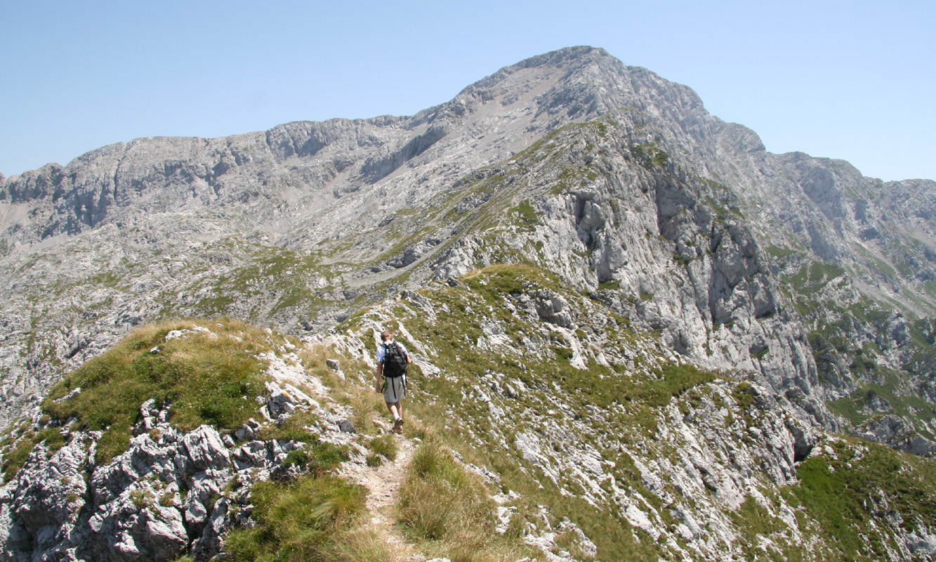
couple of switchback turns, the trail climbs until further progress is blocked by steeper cliffs. Turning
right, the slope is less steep and the route ascends here assisted by a long chain. This chain is not needed,
ascending along easy rock slightly further left still amounts to walking rather than scrambling and justifies
a YDS 2+ rating. Once on top of this section, you are
only a few steps away from the summit Refugio Luigi Brioschi as well
as the highest point a few meter behind.
The return hike could follow route 24 (not documented) or route 25. Trail no 25 descends more initially and
stays on the east side of the main ridge formation all the way. This trail also pass by Rifugio Arnaldo Bogano
at about 1816 meter. Further north, the trail descends in order to pass below some cliffs, before it again
climbs in order to stay in the hillside connecting back to the trailfork where one may climb to the ridgetop
and trail 19/24. Along this section, one has a good view of two huge rock pillars.
Comments:
I did this climb with my son Pål Jørgen, age 18.
We had driven from Zürich in the morning and established "base camp"
in the charming village of Varenna, hotel Royal Victoria.
We reached Varenna via a small ferry across Como lake from Menággio.
We had a flight back home to Norway the next morning around 1100. Thus, we made a change to our normal
schedule and departed on this hike in the early afternoon. The weather was hot, but stable.
We started out from the trailhead at 1300 and with the sun heating us more than normal, we still had
a very nice climb along the ridge to the summit, arriving there at 1455 in slightly less than 2 hours.
We enjoyed the luxury of cold drinks from the refugio and eventually started back down at 1520. We followed
trail 25 all the way and were back at the car in 1:15.