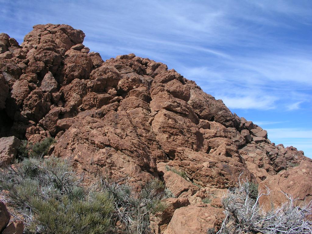
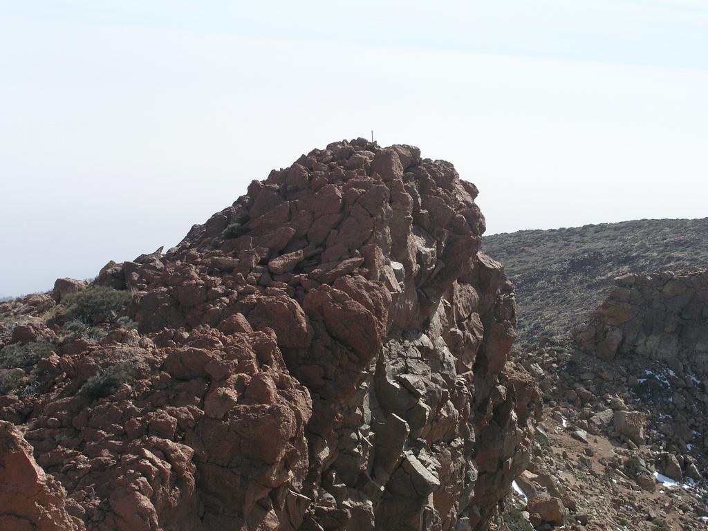
Roque de la Grieta

  • Roque de la Grieta
  • Elevation: 2575 m
  • Primary factor 204 m
  • On Tenrife, about 1 km NE of Montana Pasajiron.
  • Location: North 28:13.602, West 016:35.223 (GPS at the summit).
  • Saddle: Between Montana de Guajara and Montana Pasajiron at 2371m.
  • Saddle location: North 28:13.152, West 016:35.894 (GPS in the saddle).
  • Climbed March 5. 2004.

Information:

How to get there: See information under Montana de Guajara
Route description: From the summit of Montana Pasajiron, retrace your steps a few meters to the east side and continue north-east along the trail. The trail is less distinct (due to infrequent use), but is still marked with green (paint) dots and small cairns. As you get closer to the next saddle, progress is stopped by an intersecting cliffband. The trail turns right and stays above the cliffs while descending towards the south-east. One can see a big path on the opposite hill, well below the saddle. This path connects with your trail further down. It is possible (as can be seen from a picture) that one can descend directly to the saddle by leaving the trail and move closer to the rim before the trail turns SE, however, I did not check this. In any case, the described route does not represent any significant detour. As soon as you have circumvented the cliffband, ascend back to the saddle. This saddle is located at North 28:13.403, West 016:35.409. The peak is now straight ahead. In order to keep the route at (YDS) class 2+ in difficulty, angle right and contour below (to the right) of the first rock spires. The terrain is easy scrambling, one can easily control the level of difficulty. The highest point is still behind several such spires, each in turn appears to be the summit. The highest point is marked with a small cairn and a wooden stick. About 200 meter further along the rim is a second summit that is almost equally high. The location of this point is north 28:13.660, west 016:35.211, my GPS gave an elevation of 2570 meter.
Continue the rim traverse: Climb on to Topo de la Grieta.
Comments: My GPS measured the two summits to 2580m and 2570m, respectively, in good agreemnet with the single elevation of 2475 meter given on the map.
This section of the route can be keept at (YDS) class 2 by staying further east until a final summit approach. By staying on the ridge and traversing several rock spires, the difficulty will be class 3.

Resources: