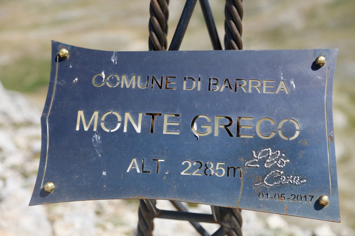
Monte Greco
- Monte Greco
- 2285 m
- Primary factor 1015 m
- Abruzzo, Italy
- Location: North 41.79833, East 013.99437 (GPS at the summit)
- Difficulty: YDS class 2
- Climbed July 21. 2017.
Monte Greco
|
|
How to get there:
Locate the small town of Roccaraso (a long way east of Rome).
From Roccaraso, drive west to the ski area called Aremogna. Once there,
access the parking area furthest south (ie. left as you approach the hills).
Park here at location N41.81884, E014.03723, elevation about 1580 meter.
Route description:
Head up along the ski area service road, it runs all the way to the pass.
At the pass, you will see the Monte Greco straight ahead. The best route is really just to
proceed in a straight line fashion. There are no trails here, but the terrain is easy to
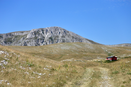
walk everywhere. Walk by the small hut, then head directly up the small hill in front. Once on top,
you walk along the right hand side of a shallow basin, the enter a natural passage that heads
directly towards the mountain. There is a vague trail here marked with some small cairns.
Cross the final, small flat area before the peak, then head up the slope to gain a local col on
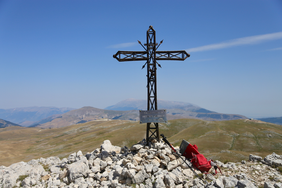
the north ridge. Continue up the ridge to the summit marked by a nice summit cross.
Comments:
WE checked out of our hotel in xxx and drove across the San Leonardo pass, then onwards to
Roccaras. Heidi would explore the local neighborhood while I set off up the service road at
0945. The hike was straightforward and easy,
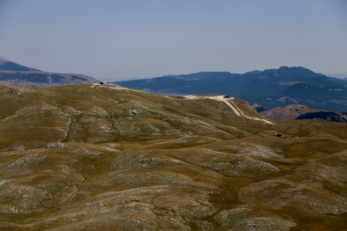
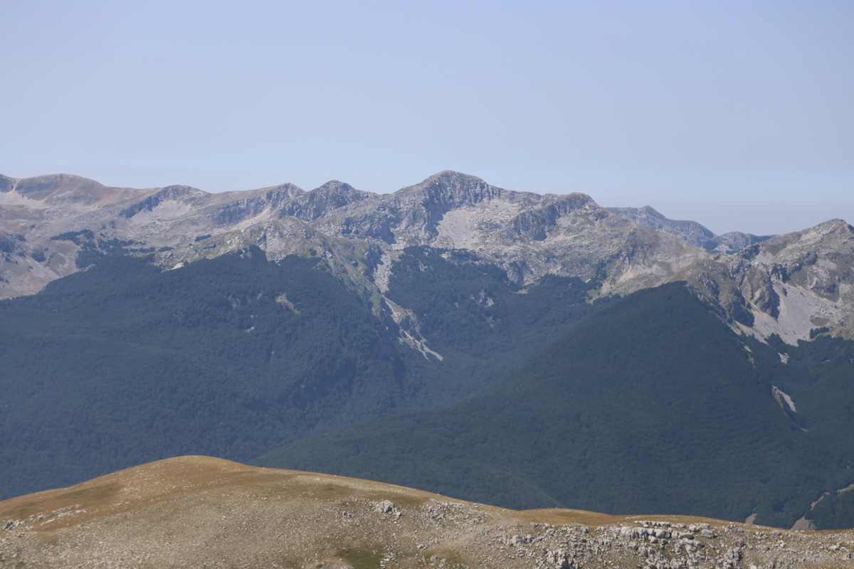
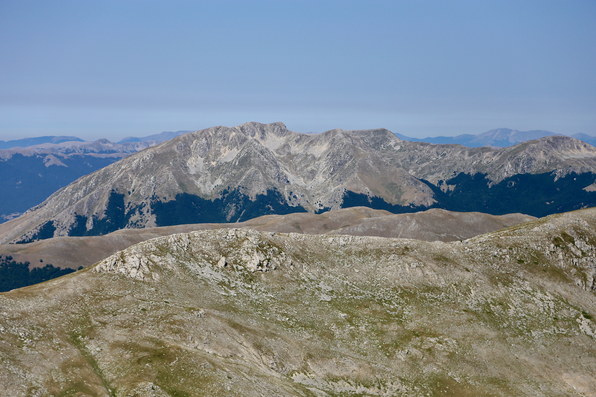
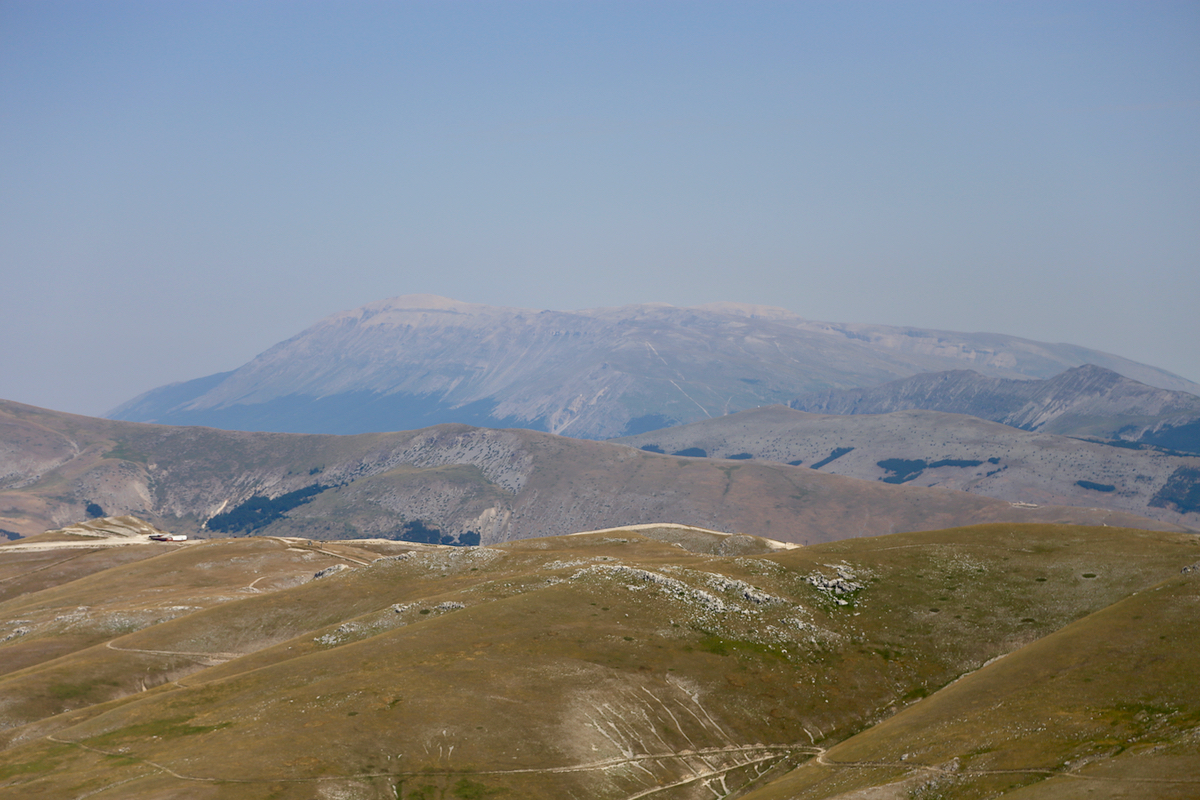
I arrived at the summit by 1120. Good view back
to the ski area
as well as in the opposite direction.
The summit cross had a nicely made inscription
confirming the official elevation. I left after 15 minutes and hiked back in 1:10, meeting Heidi
(she sat reading her kindle) about 15 minutes up the road.
Back at 1245, we continued our drive to the next "base camp", Aquapetra in Telese Terme.