Location: North 41.70476, East 021.40417 (GPS near the summit)
Difficulty: YDS class 1
Climbed July 14. 2013.
Information:
How to get there:
Currently, summer 2013, the only reasonable point of reference is the city of Veles, located south-east of the
capital Skopje. My road map as well as Google Maps, indicate that there is a "yellow" (read: pretty good) road going north from
the city of Prilep, however, this road does not exist!
In 2013, my travelled distance and time was as follows: Measure from the center of Veles. Drive in the direction
of Bogomila. At kilometer 34.7, you drive throgh a village (travel time about 35 minutes). Continue to kilometer 37, another
village, travel time is 40 minutes. Next, at kilometer 44.6, you drive through another small village (Bogomila), the travel time is now
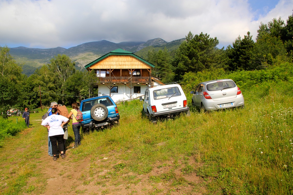
about 50 minutes. At kilometer 52.8, you arrive in Nezilovo where the paved road ends.
One has a choice of parking here, then take the direct trail up to the Ceples mountain hut, or continue driving up to
Ceples. I would advice that a 4WD with high clearance is what is needed. Otherwise, the time driving will easily
exceed the time it takes to hike from the lower trailhead. It took me about one hour and 15 minutes to drive an ordinary car the
last 10.5 kilometer from Nezilovo to the Ceples hut.
If driving, this is the road that leads to the hut.
Route description:
If you hike from Nezilovo, then do not follow the road, but take a much shorter, direct trail. There
should be a sign, ask at the local restaurant if needed. The hiking time is likely just a bit more than one hour.
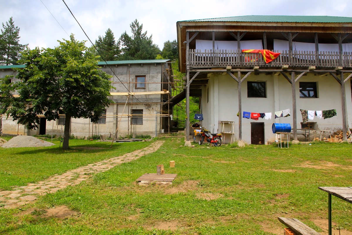
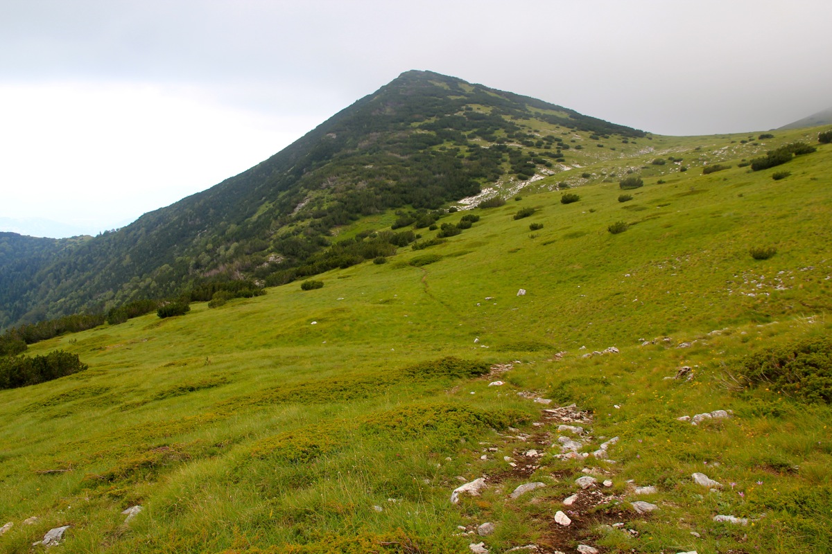
From Ceples, the trail starts out between the two buildings.
It first heads uphill in tall grass, then hits a small road that goes left, before another section uphill in grass.
Soon, you are between trees and there is little vegetation on the ground. You will get to a trail fork, where a sign
points uphill, ignore this and follow the marked path as it traverses more right. After a significant distance in the
forest, the trail eventually
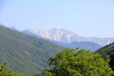
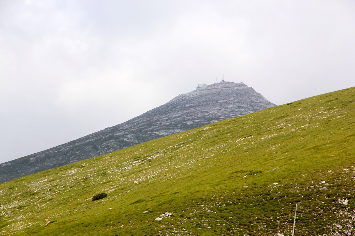
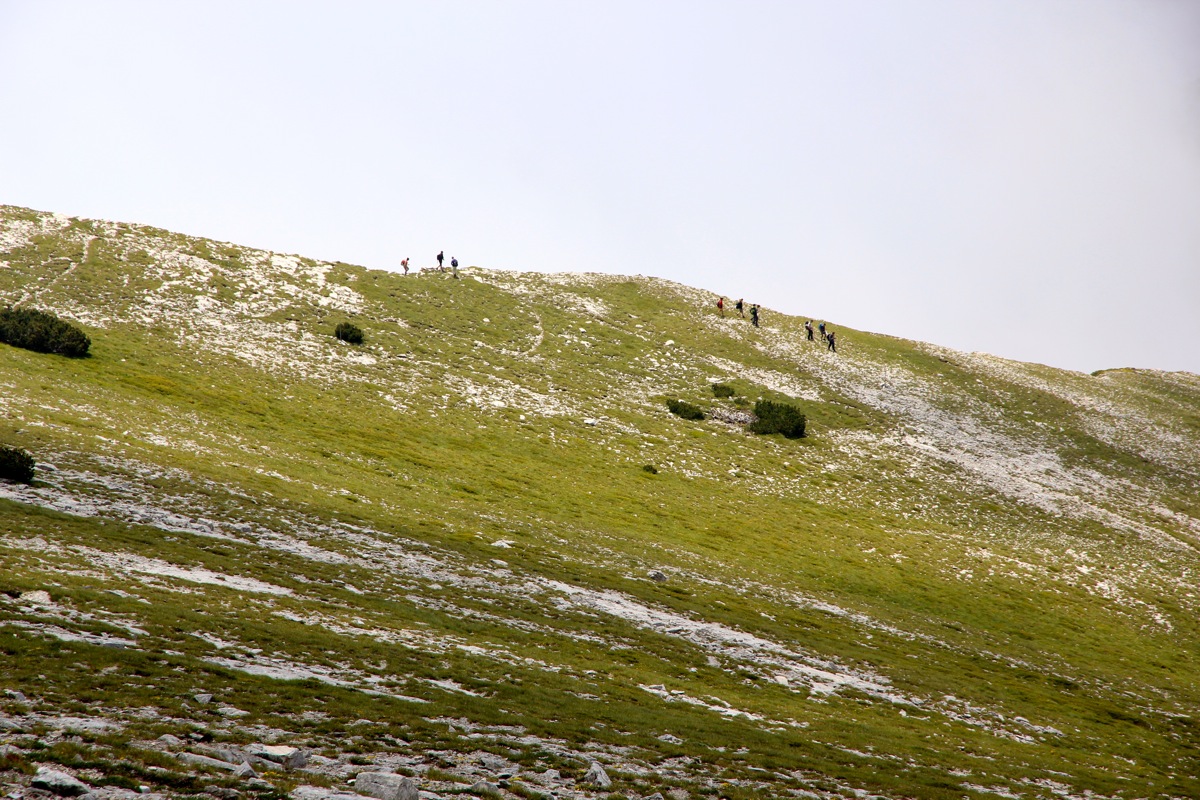
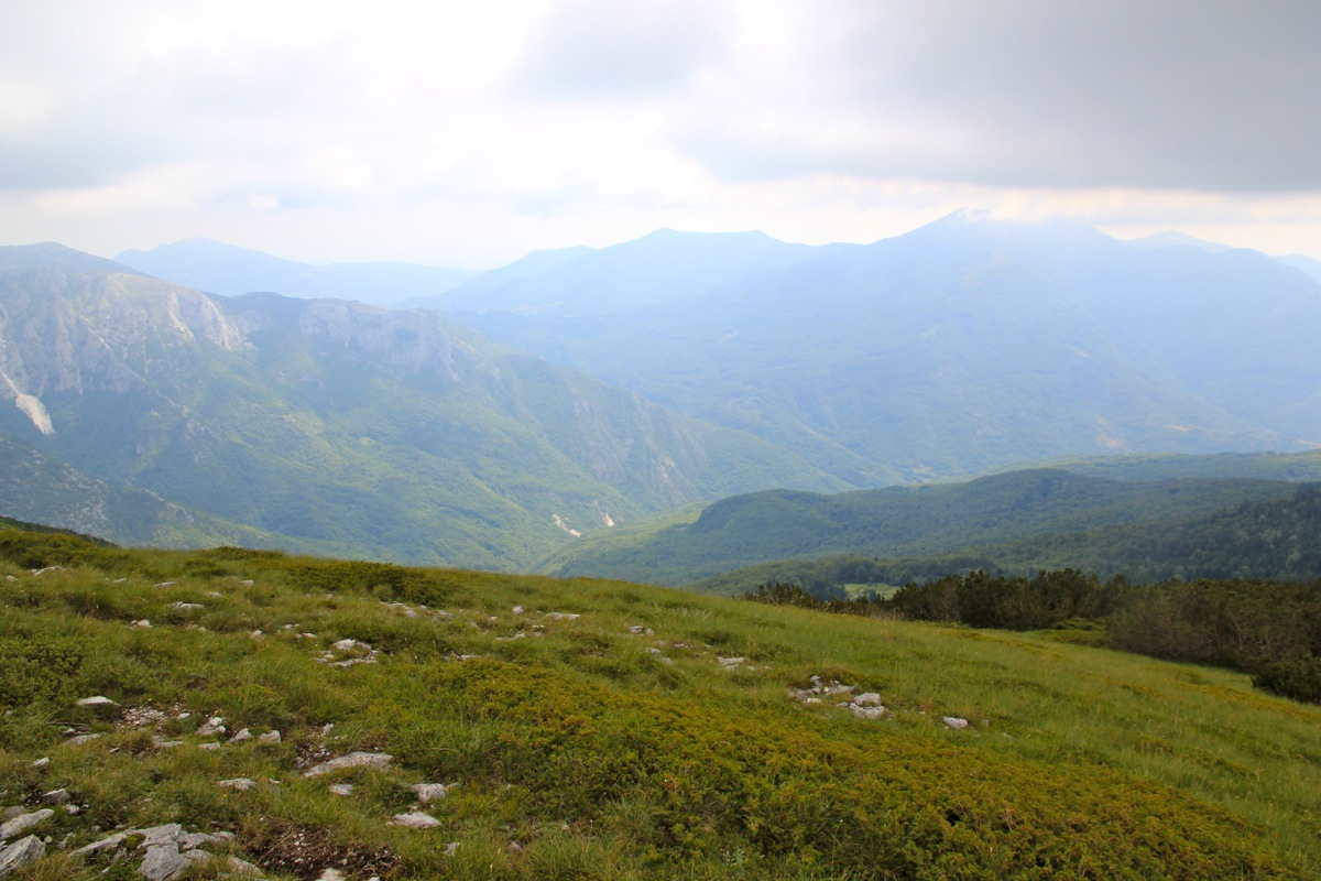
emerges into more open mountain landscape. This is approximately about half way (in time) to
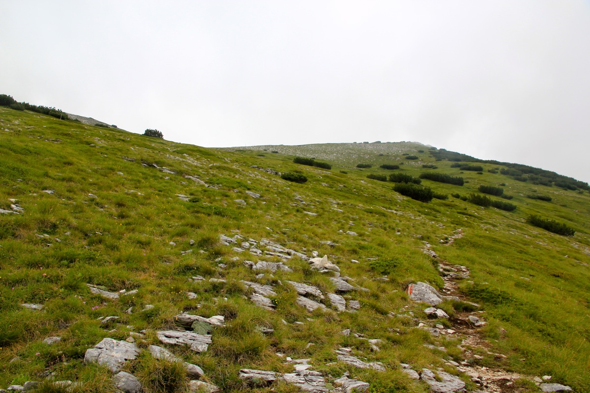
the summit. The easy to follow trail continues along the high ridge (more or less),
with cliffs off to the right and more
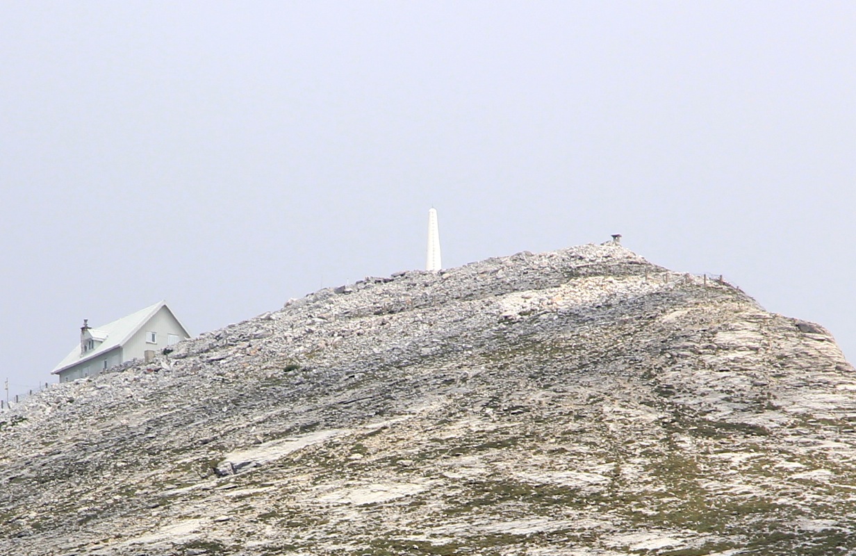
gentle grass land on the left hand side. Soon, you will see the summit, it
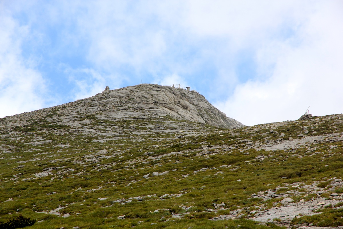
is easy to identify with a building on the top.
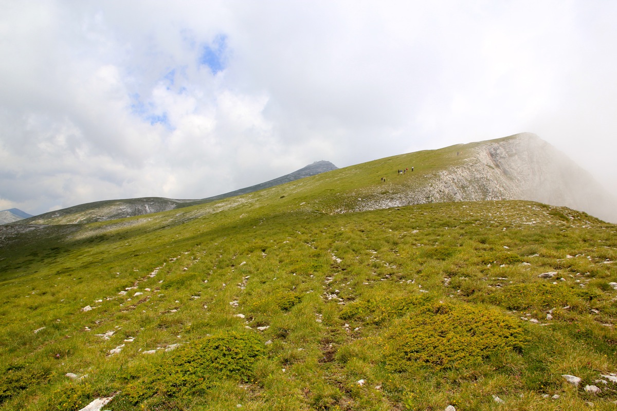
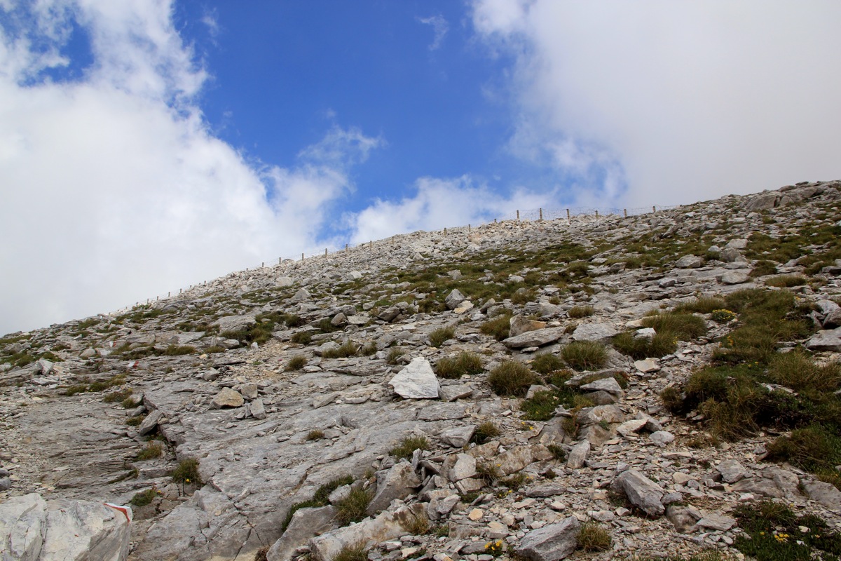
Continue up the last ridge until the military fence near
the very top. The trail now contours left, just below the
fence to the official entrance. A gravel road serves this summit from the north. There is an armed military guard next to
the gate or patrolling the short stretch of fence. In order to reach the highest
point, climb the terrain above this road on the other side. There are red paint markers that continue up to the
very highest point outside the fence. From here, you have a pretty reasonable line of sight across the summit.
Comments:
I knew this would be a long day trip from our base at lake Ohrid, therefore, I started driving
already at 0400. The daylight was gradually coming as I drove by Bitola, the road was excellent and I
arrived in Prilep where I knew I had to find a road that would connect directly to Izvor. This road was even named
Hwy. M-5 on the Google map, drawn as a medium sized "yellow road" on my paper road map. I located it and drove
along on the left side of a river, a good sign. However, this road eventually just turned to dirt, then to
4WD - possibly dead-ending somewhere further along. Bad news! I turned around and knew I would have to go
back to the city of Prilep, then find the road that connected to the E-75 road going from Skopje to Greece.
My drive just became longer going via the town of Veles. After more driving,
I was finally on my way towards more hills and I knew that my target
for the day would come into view before arriving in the small village of
Bogomila.
There was a local traffic jam in Bogomila,
then I could drive further on a surprisingly good, but very
narrow paved road. I had read that the road from Nezilovo to the Ceples hut was "recently much better" and
that it was important to get there with a car if the purpose was to climb Soluska Glava in a single day.
Consequently, I continued up along the dirt road that quickly got pretty bad. In fact, it took me more than
one hour to carefully coach my little car up this road, finally arriving at 0915. More than 5 hours of driving
to the start of the climb, I was even more happy about my early start.
I started hiking at 0920 and walked into open country approximately one hour later, having gained about
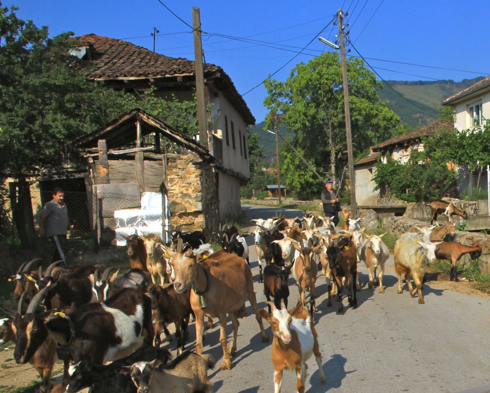
600 vertical meter from the Ceples hut at 1420 meter. A little later I noticed a herd of sheep some hundreds of
meter to my left, slightly downhil. This could mean trouble, and indeed before long I had 6-7 dogs running in
as a single pack, barking wildly, in my direction. I could also hear the shepherd shouting for the dogs to
return, to no avail. I had a few seconds to prepare a defense, my main weapon being my walking poles. To also
establish a slightly longer range, I quickly picked up 3-4 smaller rocks from the ground. As soon as the dog were
within about 5-6 meter range, I started hitting a few of them with my rocks, then pointing my poles aggressively
to the closest one. The attack subsided, a few dogs returned back to the sheep, while a single dog continued
to chase me, but never closer than 3-4 meter, as I walked without any hurry along the trail. OK, no big deal this
time, but these sheep dogs in the Balkan mountains are a big trouble factor for climbers/hikers. You never know
how much trouble may arise.
I now had the summit in clear view and I arrived
at the gate with the armed guard at 1120. I talked to him, trying
to convince him that I perhaps could visit the highest point within his premises, if only for 2 minutes. No chance,
he had his orders. Of course, the entire thing is totally silly. There are no secrets to protect, this little
mountain top should obviously be opened up for access by hikers. Until that happens, the best one can do is to
hike along the fence on the other side of the access road. Up there, one is actually almost as high as
the fenced in summit, one can see pretty well across. These military also insist on no photography, again such
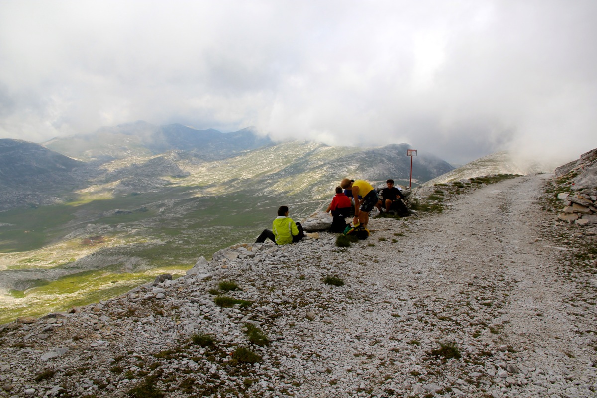
a rule really serves no modern purpose. A group of local hikers
had arrived shortly before me. They had stayed
in Ceples and started earlier in the morning. I left the summit after 30 minutes and walked with one of the
Macedonian hikers until
we had passed the sheep and their shepherd. Interesting, this time the dogs kept quiet
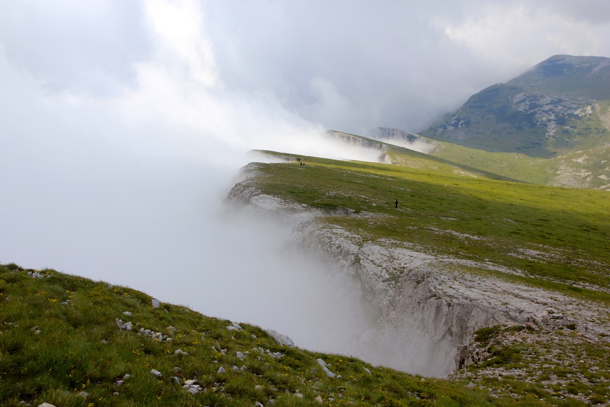
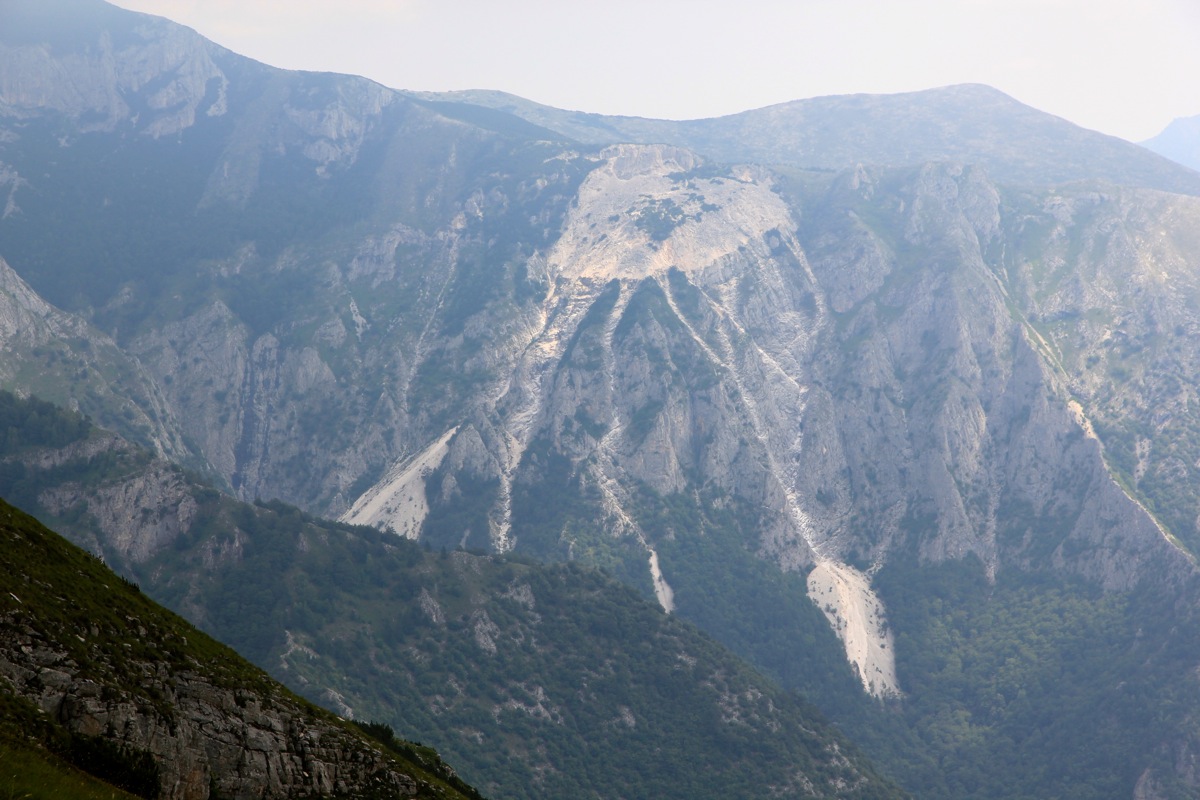
and did not show any signs of agression. The clouds were hitting the steep side of the mountain making for
a nice view as they help define the edge in a very visual way.
My companion told me that ideally borders should be adjusted, there is still a lot of intolerance and
lack of trust between different ethnic groups. He blamed it all on religion, and this is certainly a big
part of the problem. I said goodbye and continued to Ceples, arriving there 1:35 after leaving the summit.
Driving back down to the small village again took more than one hour, but from there I knew my way and I was
back in Ohrid around 1830, in reasonable time for dinner at the hotel.
Here is a brief summary of the peaks climbed on this trip.