Location: North 38:38.829, East 022:15.135 (GPS at the summit)
Difficulty: YDS class 2.
Climbed July 17. 2010
Information:
How to get there:
The best starting point is the small village of Kaloskopi.
Kaloskopi is north of Amfisa, larger points of references are
south-west of Lamia and north-west of Delfi.
A detailed description to the trailhead is as follows. Locate the
southern entrance (from the highway) to the village of Kaloskopi
and measure from here. (The road to Kaloskopi forks right and goes
downhill at this point.) Continue north on the main highway 1.1
kilometer. At this point, make a sharp left turn onto a dirt road.
Continue to kilometer 3.5 where there is a crossroad, continue
straight. At kilometer 4.0, stay left (a small road forks off right).
At kilometer 5.2 the road forks, take the left branch. Continue
to kilometer 6.6 and make a sharp left here. The road is a bit rougher,
but should be possible for ordinary cars if driven with care. You
enter a few switchbacks, then a traverse right, before arriving
at the trailhead at kilometer 8.7. This is right in the 3rd switchback,
there is plenty space for parking without obstructing the road.
This location is N38:39.885, E022:16.217, elevation about 1535 meter.
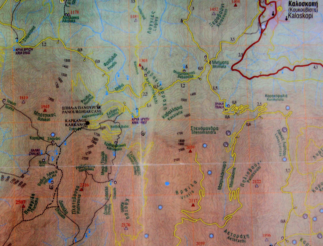
Here is a pretty good map showing
the road from Kaloskopi to the trailhead.
Route description:
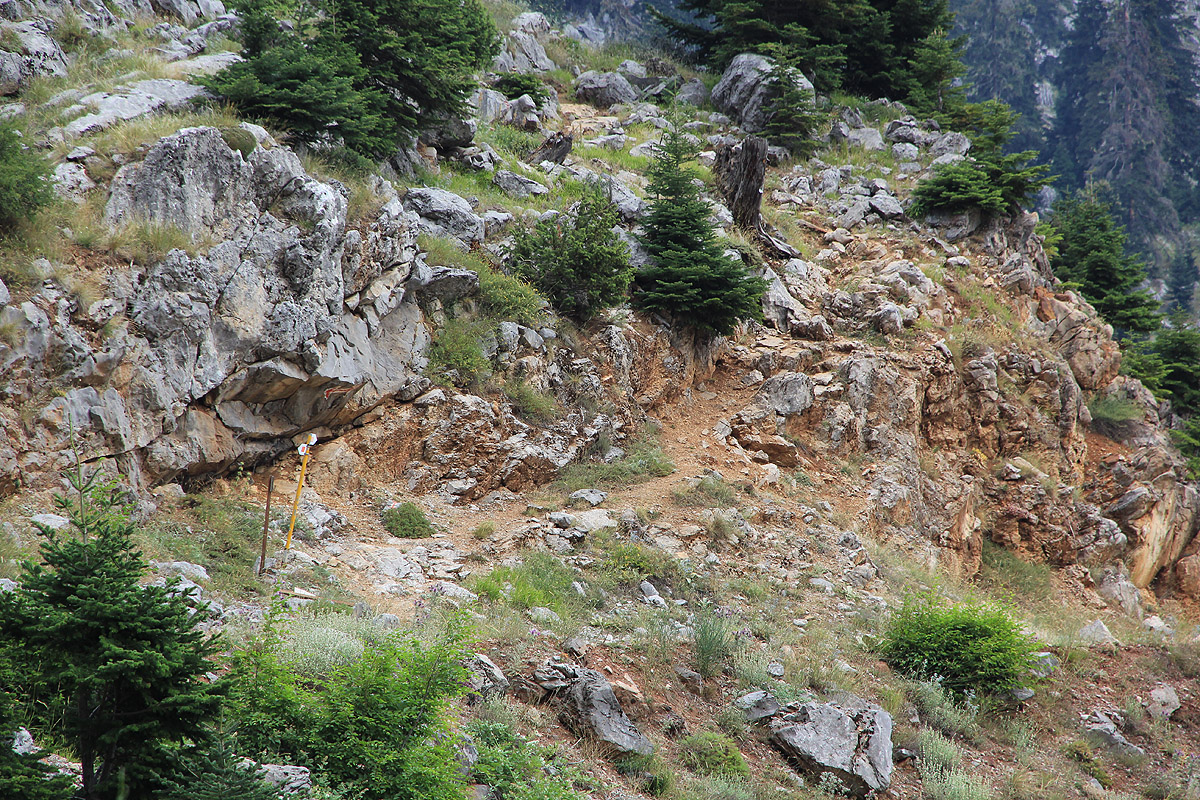
From the trailhead, the route to the summit is marked with red paint. It starts
a few meter to your right (when facing uphill) and starts out a bit steeply among
some rocks. The easy to follow trail ascends the slope above you (zig-zags), then
runs further in on the left side of a small valley before arriving at a flat area
with a small creek, very suitable for camping.
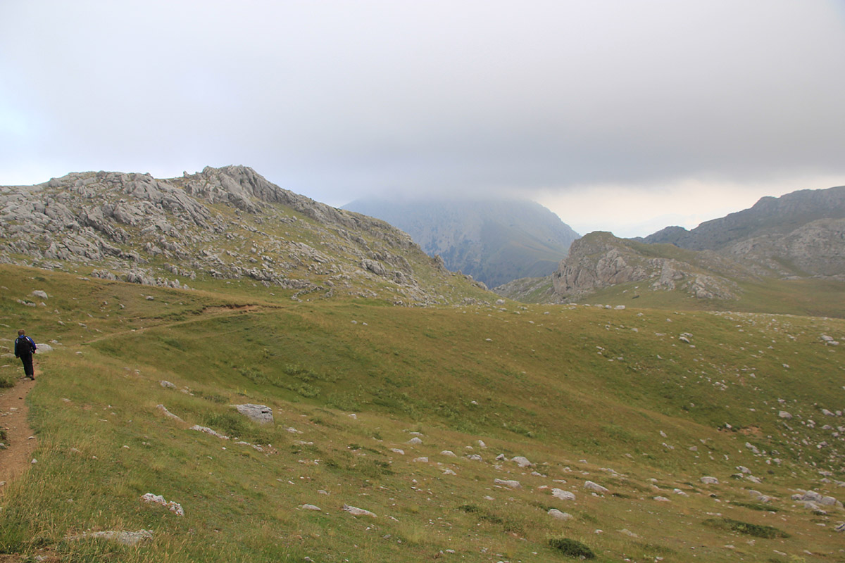
From here, the trail runs directly up the grassy hill above, people have chosen different
paths and the trail is less well defined. On top of this hill, you face the mountain
straight ahead across a flat grass plateau. There are domestic animals in the area as well
as shepherd dogs that may act unfriendly. Do not cross the large flat grass area, but turn
left and follow the fairly well marked trail as it bends left, then traverses up the
slope on your left in order to gain the broad slope that leads to a saddle connecting with
another valley.
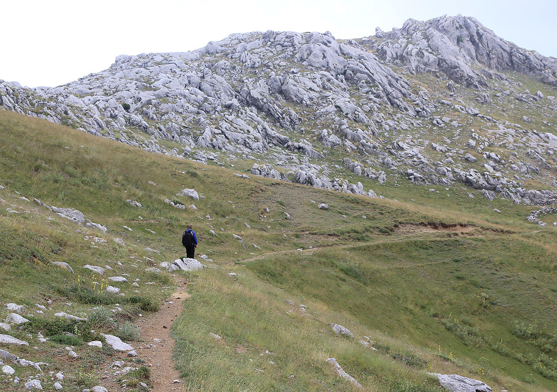
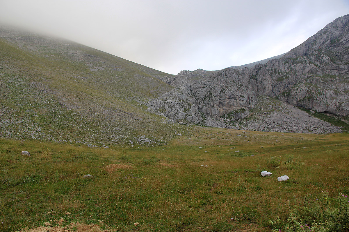
After gaining this broad saddle, the route now makes an ascending traverse on the peak itself,
staying on very easy slopes as the route will gradually bend more right. The path is not very
well defined, but the red paint is visible on the rocks. In any case, it is not critical exactly
where one walks, the terrain is very easy. In this way, you will reach the summit ridge (also broad and flat),
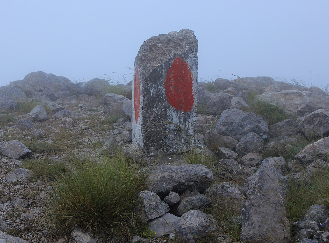
a bit left (as you face uphill) of the highest point. Finally, walk along the ridge to the
summit marker. You will notice that the mountain has a steep side on the left side of the
ridge as you walk the last (short) stretch to the top.
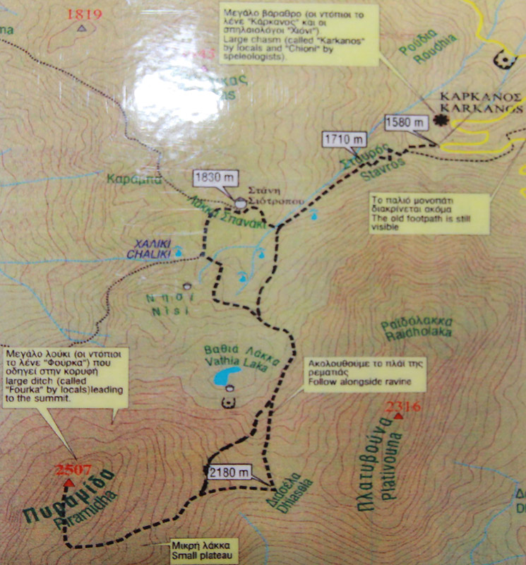
Here is a small map outline of the route from the trailhead to the summit.
Comments:
We drove from Paleros on the west coast to Kaloskopi.
Except for making a wrong turn and almost have to pay 25 euro for
crossing the bridge
to Peloponnes, where we did not want to go, the travel was uneventful.
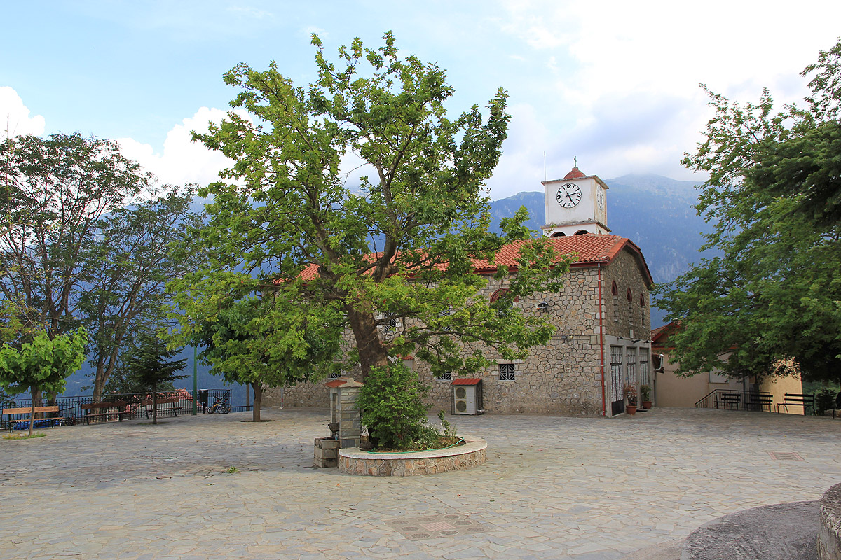
It turned out (after asking a bit around) that the old school, built in direct connection
with the church, had been converted to provide accommodation for tourists.
The phone number to a person in charge (2010) is +30-2265061251.
We got up at 0500, the next morning and drove to the trailhead. Start of hike at 0530.
We soon reached the higher, flat
plateau and ran into a bunch (approximately 10?) of unfriendly shepards dogs. My walking poles
seemed to work as an effective deterrent.
We had read that the easiest route on this peak required "easy to moderate climbing". With no
idea of what this really meant, we carried a short climbing rope and our harnesses.
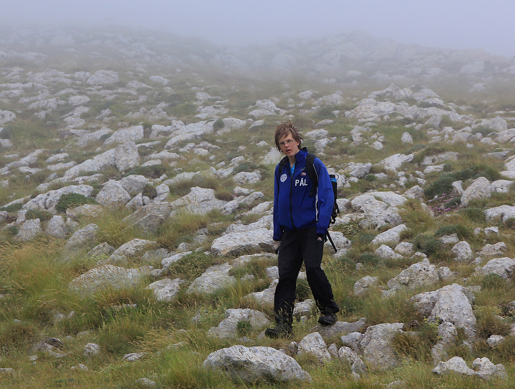
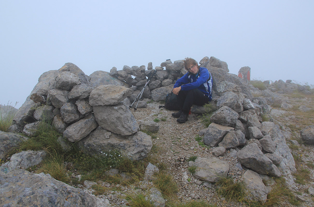
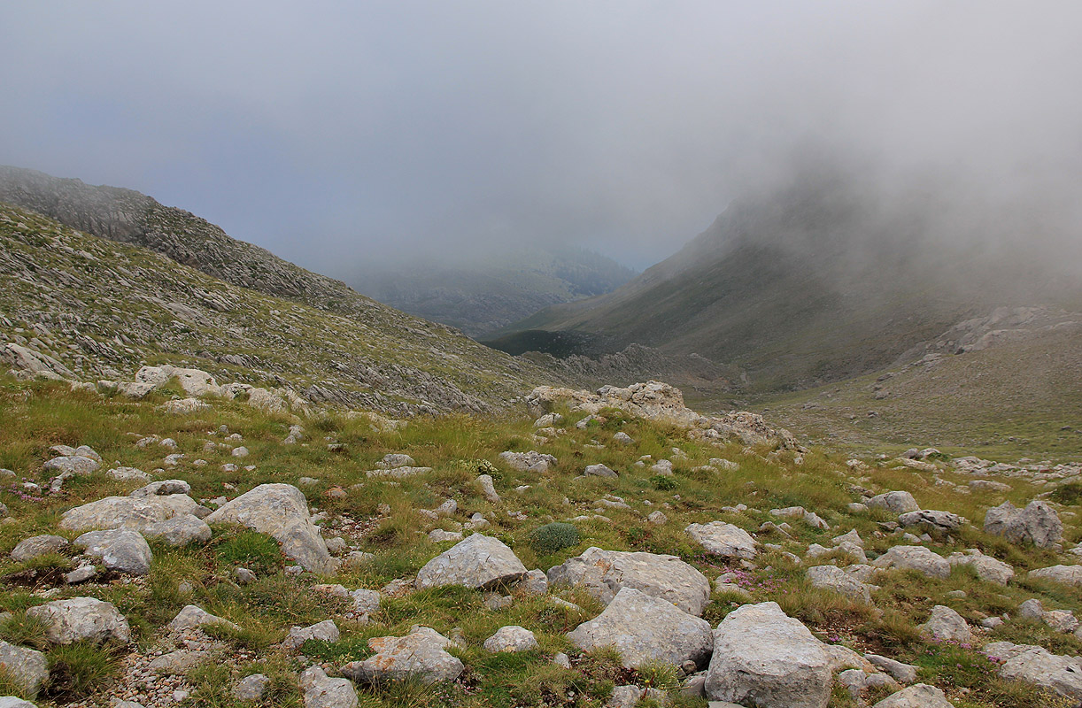
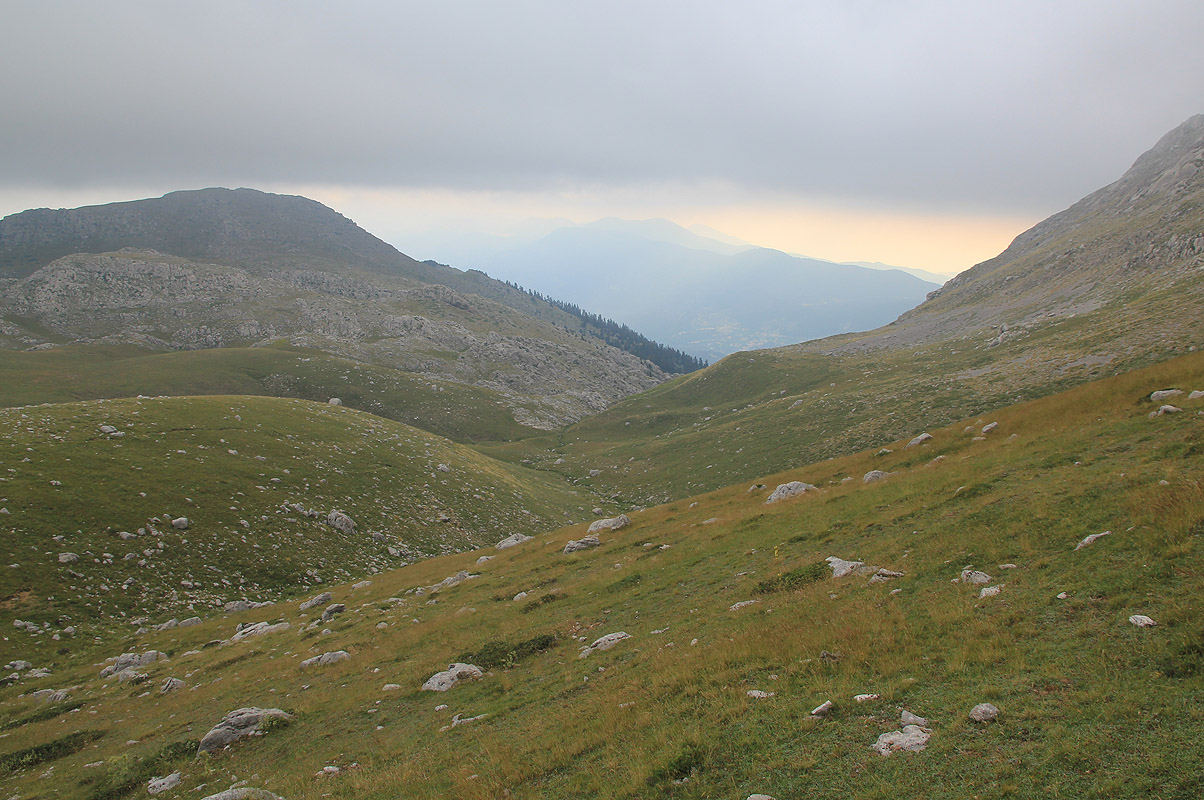
The summit was hidden in a cloud and we walked into the fog
with severely reduced visibility.
We expected to run into steeper terrain any moment, but the gentle slope kept going.
Much to our surprise, the terrain got more flat and we strolled along the final
summit ridge. We did not touch a single rock with our hands, - easy (YDS) class 2. Arrival at 0625, unfortunately, no view.
We decided to postpone the breakfast for a place
a bit further down.
We left the summit at 0640 and returned to the car by 0905. On the way down, Pål Jørgen
got one of my poles as we approached the sheep and their angry dogs.
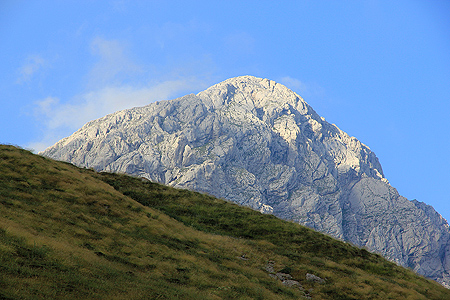
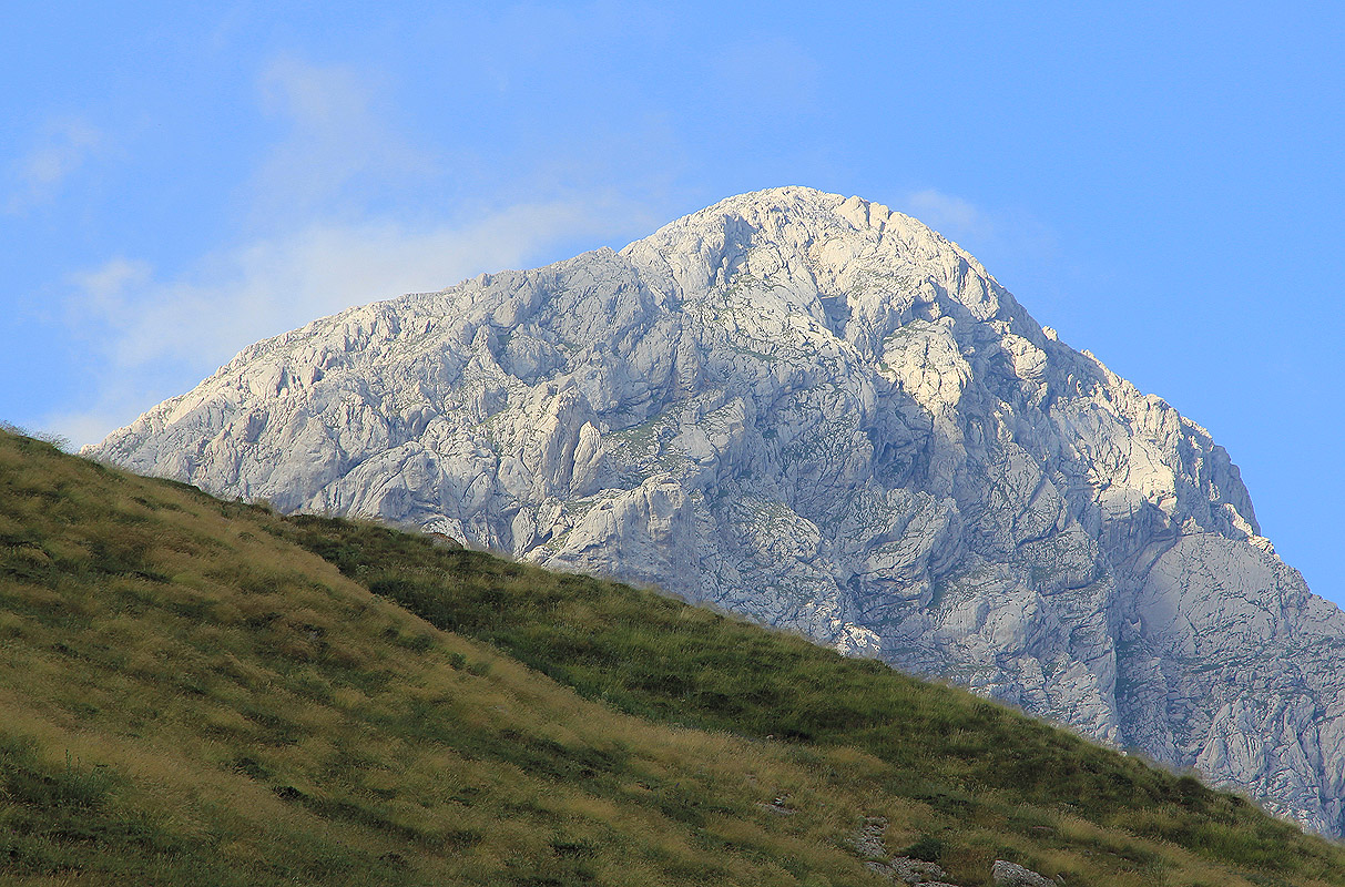
As we descended, the clouds started to break and
it was possible to catch a view of the peak.
However, clouds kept coming and going, it would still be difficult to time an ascent and
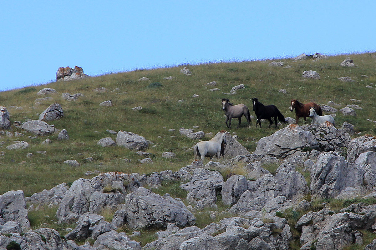
be assured of a view. Further along, I observed a good sized group of horses.
We were back in Kaloskopi by 0930. This climb completed my climbs of 18 ultra prominent mountains
in Greece. Big thanks to Pål Jørgen for good
company on many trips. Our summer trip
would now proceed to the east coast where we would like
to visit a "near ultra", before
returning to Norway via Thessaloniki.