Dunn Peak
- Dunn Peak
- 2636 m
- Primary factor 1531 m
- British Columbia, Canada.
- Location: North 51.43716, West 119.95455 (GPS on the summit.)
- Difficulty: YDS class 4
- Climbed August 2. 2018

Dunn Peak
|
|
How to get there:
Locate Hwy. 5 running north-south, then the town Barrierea. Drive north
on 5 through Barriere, cross Barriere river, continue about 900 meter, then turn
right at location 51.18536, -120.14253, onto Barriere Town road, that turns into
Barriere Lakes road after a junction. continue up the valley on this road to location
51.24848, -119.92761, where you fork left onto North Barriere lakes Forest Service Road.
Continue along this road until location 51.32653, -119.88916, where you fork left.
This road runs north on the east side of Hasper Creek. Continue approximately 16 kilometer to
location 51.474, -119.85191, where again, you turn left. This road is rough, 4WD and high
clearance strongly recommended. Drive roughly 6-7 kilometer until the road ends in a wide
spot suitable for turning and camping.
This is the trailhead, location
N51.48946, W119.91212, elevation about 1540 meter.
There were a couple of really bad spot on the
road near its end, I was happy to drive a Jeep.
Route description:
This is a nice wilderness
route that will deliver you a lasting experience.
A strong party may do this as a day hike, however a full day will be required.
There are several good spots to camp in the upper part of the valley for
parties that would like to break this trip into 2 days.
First, head up the valley along a pretty obvious trail. This trail starts
out going a bit left (grass), then becomes easier to follow. Hike up the
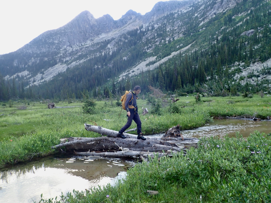
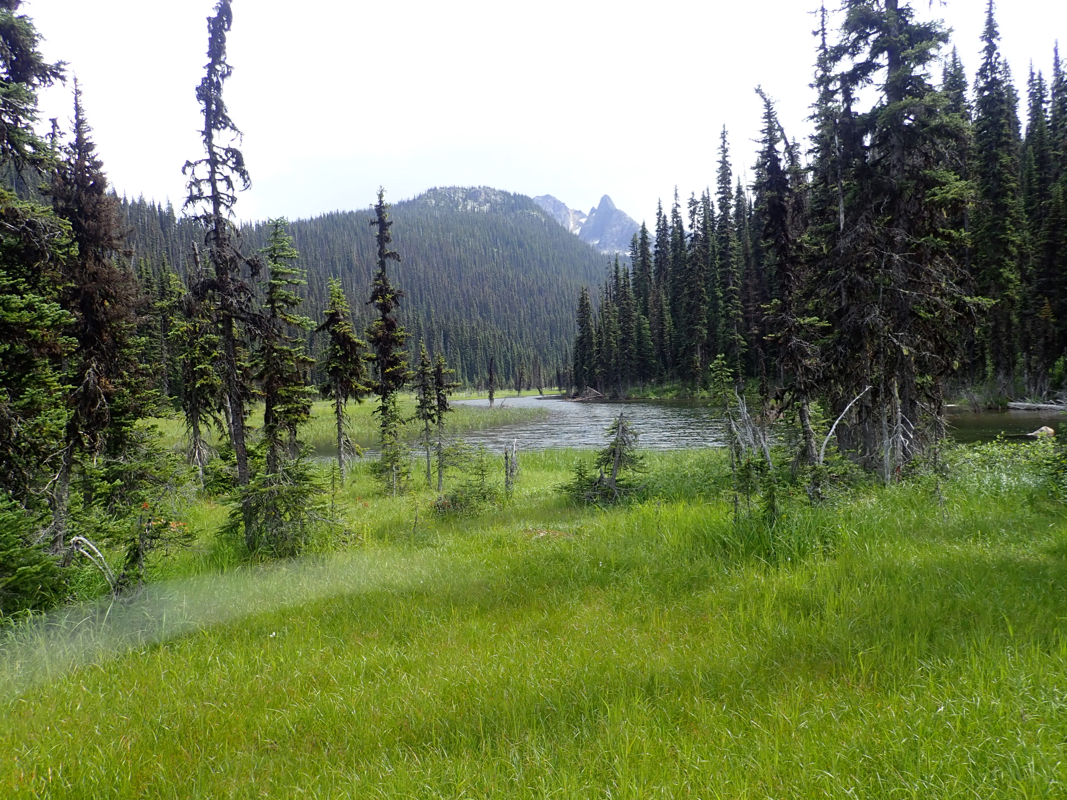
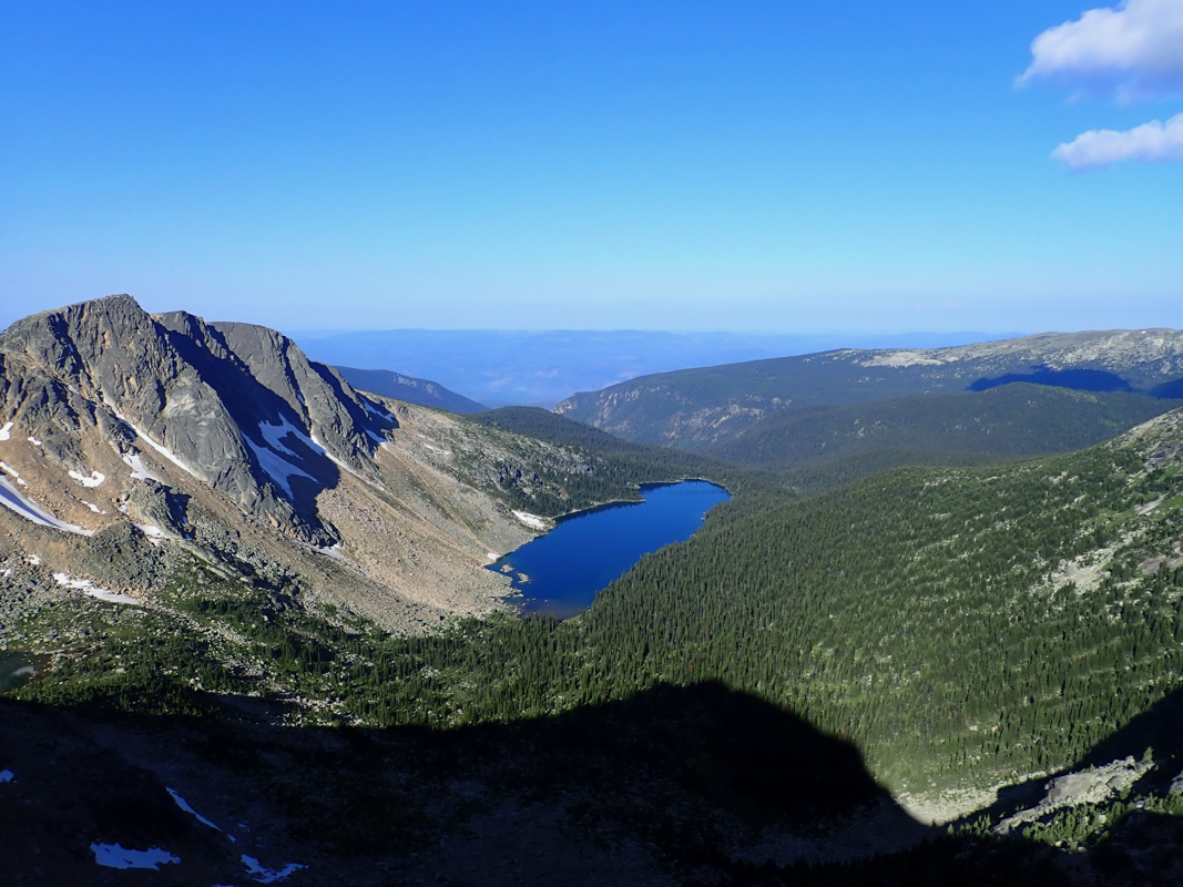
valley in the forest, cross the col and descend to the bigger valley running north-south.
Cross the meadow at the valley floor and locate
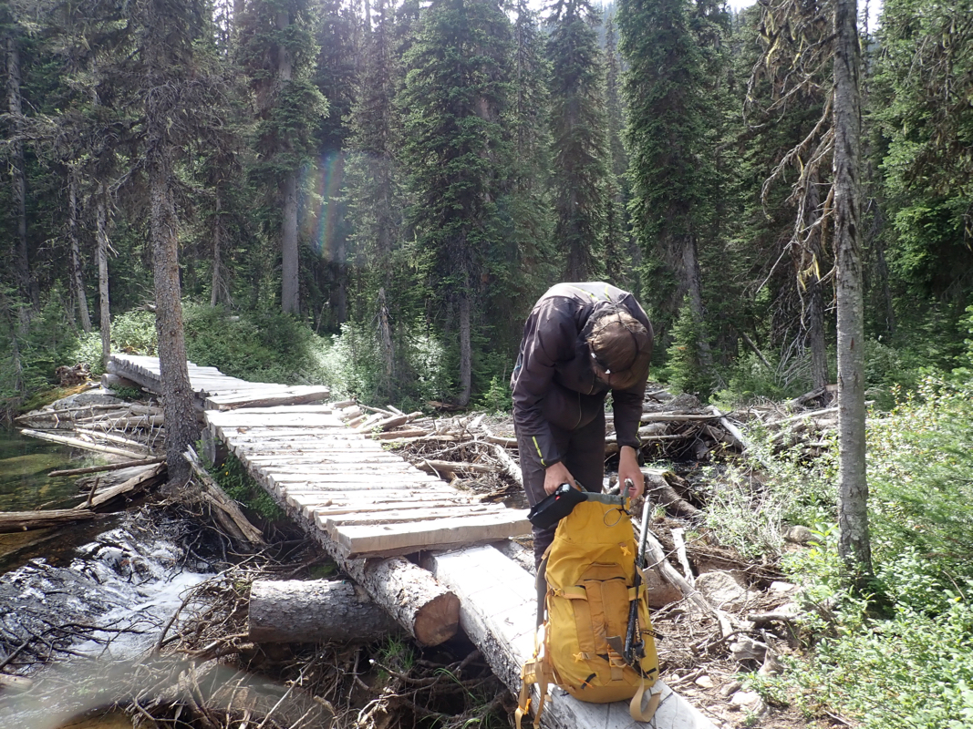
the bridge
across the river.
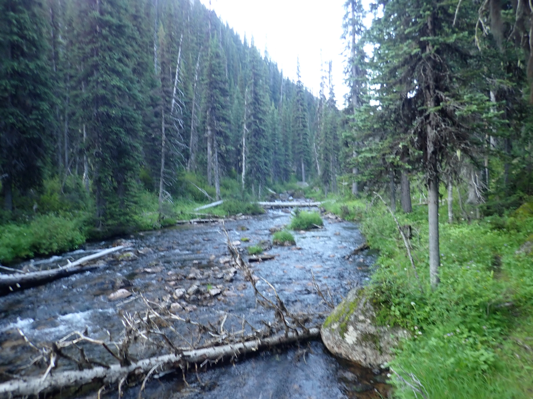
Continue along the very clear trail (going south) as it ascends the valley,
Note that the trail makes a shortcut, temporarily leaving the main drainage (on the
right) before merging back in higher up.
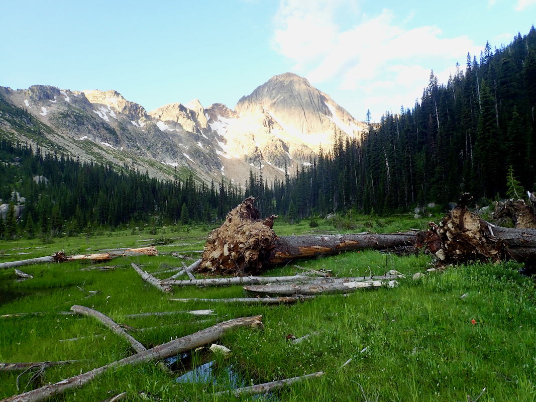
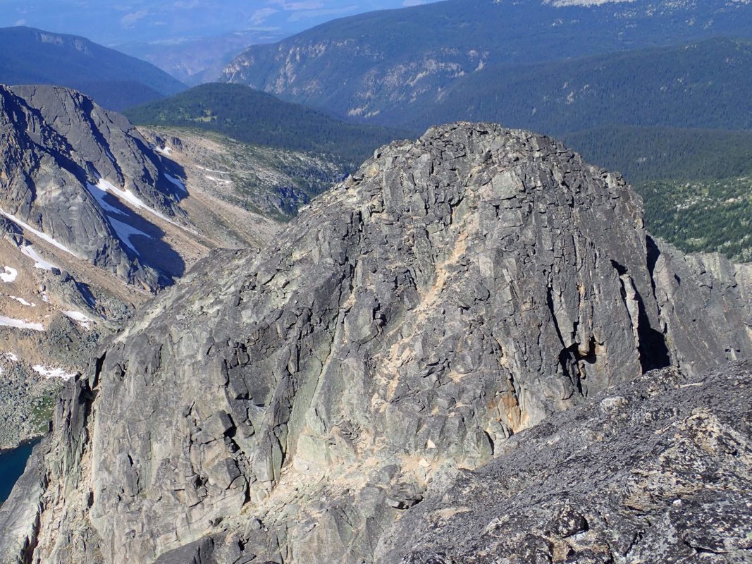
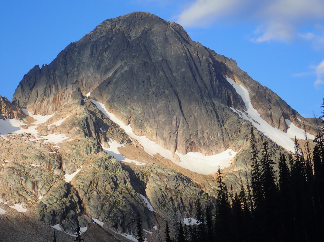
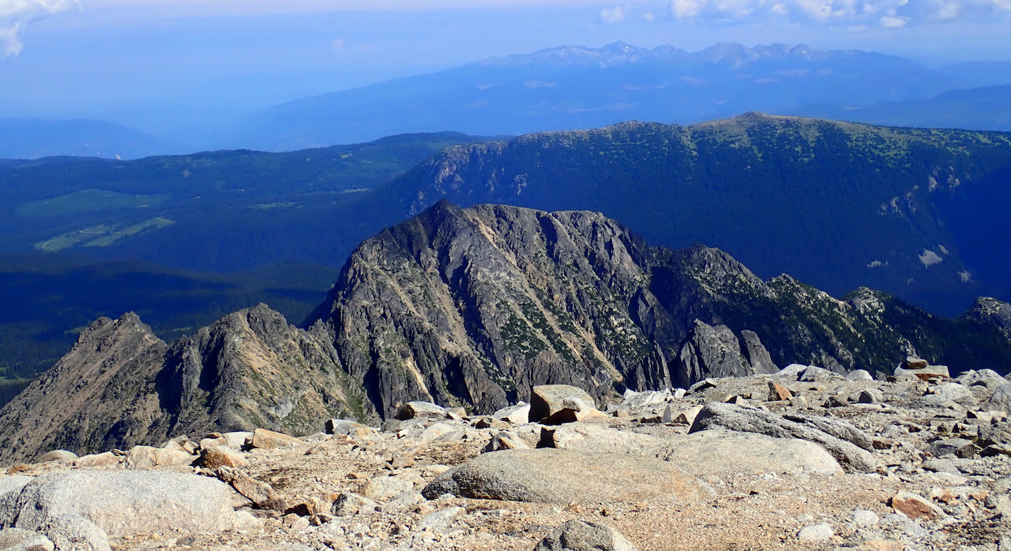
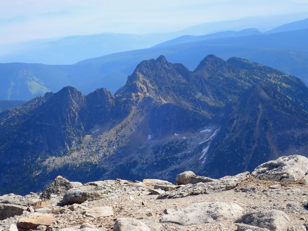
The valley widens and curves right, here
Dunn Peak comes
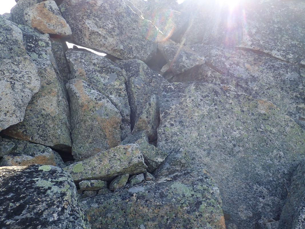
into view. Ascend among big boulders
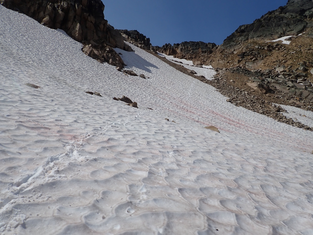
and aim for the saddle just
right of the peak. There may be
some large patches of snow here, depending on the
season.
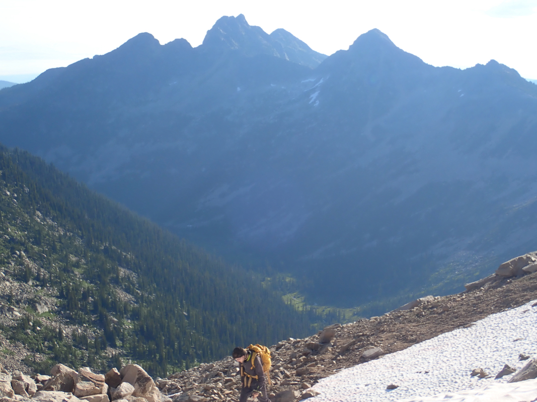
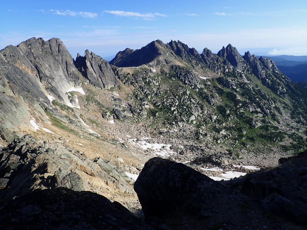
There are clear tracks from previous ascents leading up the ridge/face from
here. (This ridge is north-north-west.) Lots
of good (YDS) class 3 scrambling,
perhaps with a couple of 4th. class moves,
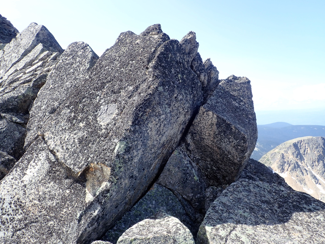
stay near or on the ridge as it becomes
more well defined higher up. You will
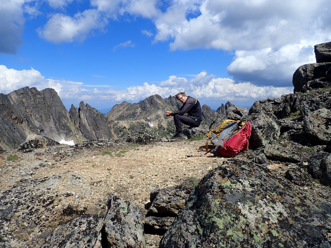
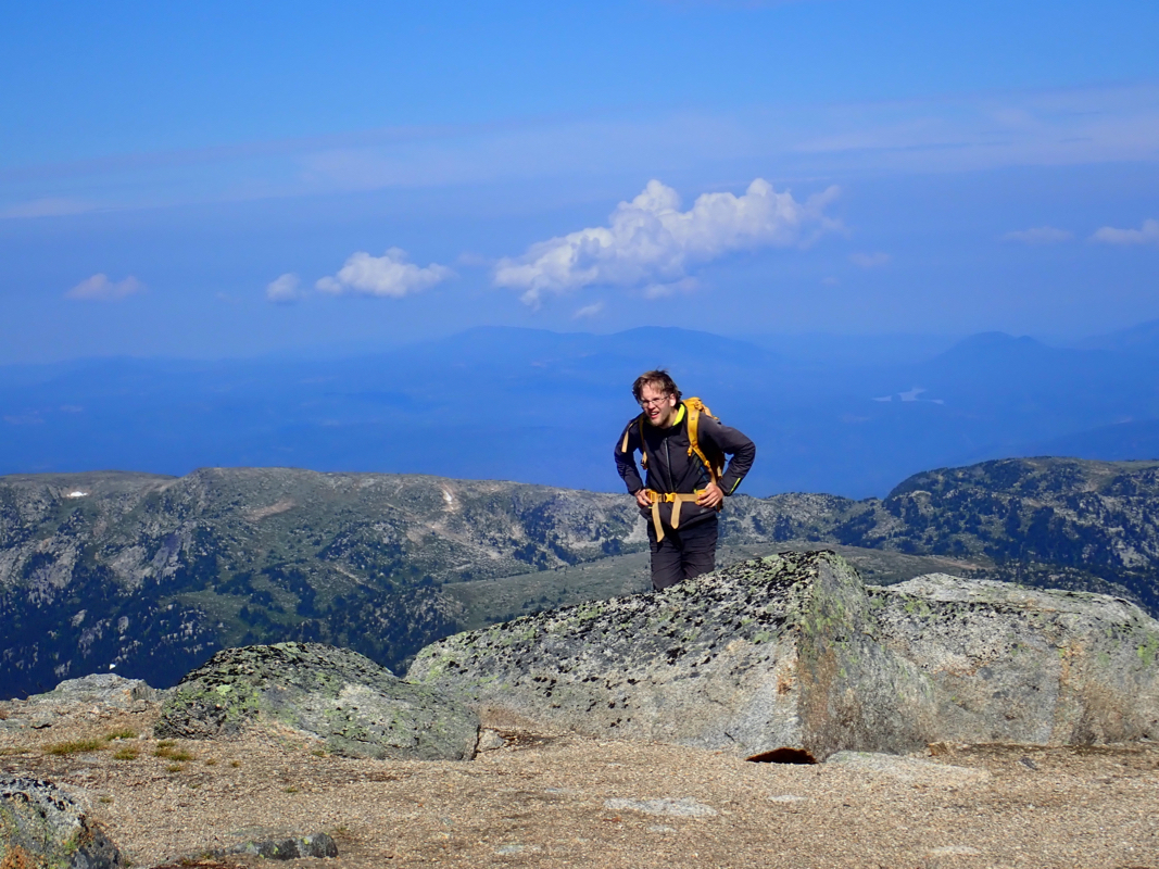
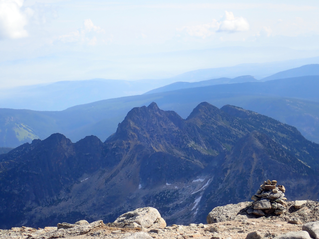
reach a false summit, (pic from true summit) descend into the
connecting col (class 3), then do the final climb, staying left as you
ascend higher. This section is also mostly class 3, again with a few 4th. class
moves depending on your exact choice. Finally, walk the short and gentle ridge
to the summit.
Comments:
Pål Jørgen and I knew this would be a long hike, therefore we drove
up to the trailhead in the evening and camped there. We were supposed to climb
Assiniboine, having made an (expensive, non-refundable) reservation there, but
the forecast called for sustained rain and bad weather. Thus, we changed plans and
drove to better weather, targeting Dunn Peak. How nice if there had been less red tape
in these mountains. Our plans had called for Assiniboine in good weather, but no space
and reservations required. We had numerous issues with reservations and access restrictions
in the Canadian Rockies, this forced us to drive several hundred miles extra and climb the
peaks in a very sub-optimal order. The US and Canada should learn from Europe, fortunately,
these two countries are about the only ones that make hiking and climbing very difficult,
in particular, the stated objectives for all this red tape are completely false, in the
best case a complete failure.
The next morning, we started already at 0500, first daylight.
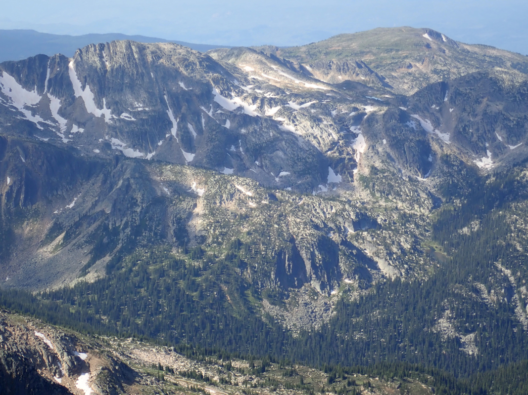
The hike was nice, good Canadian wilderness.
As we got near the end of the
valley with the peak in good view, we were attacked by hundreds (if not more) of
the local mosquitos. We hurried up onto the snow-fields,
climbing quite high towards the
ridge before getting out of trouble. The time was about 0850 and scrambling was about
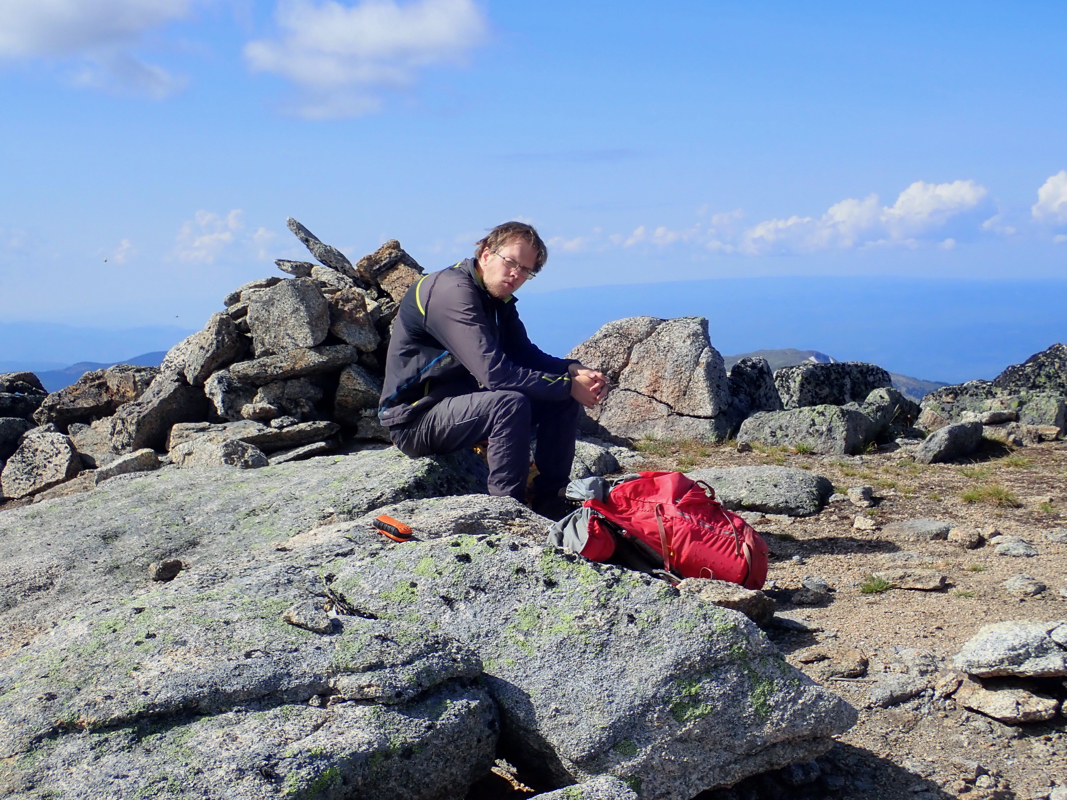
to start. We had a fun ascent, arriving at the summit
at 1010, so a bit more than 5 hours up. We enjoyed the good views and a beautiful
day, leaving at 1040. The return descent, then hike went according to plan, arriving
back at our car by 1530.