Double Mountain
- Double Mountain
- 2433 m
- Primary factor 1171 m
- California, USA.
- Location: North 35.03333, West 118.48682 (GPS on the summit.)
- Difficulty: YDS class 2
- Climbed September 15. 2018
Double Mountain
|
|
How to get there:
Locate the small village Tehachapi on Hwy. 58 running south-east from
Bakersfield to Mojave. From LA, one can drive I-405 then fork east on Hwy. 14
to Palmdale. Continue past Palmdale to exit 61, Backus, drive through an impressive
wind-mill farm (many hundreds of them), then enter Tehachapi. turn left on Hwy. 202
and continue to a local hilltop where a road forks left, signed for Tehachapi Mountain Park.
Enter the park and follow the road as high as it get. Park here. This location
is N35.06585, W118.48260, elevagtion about 1825 meter.
Route description:
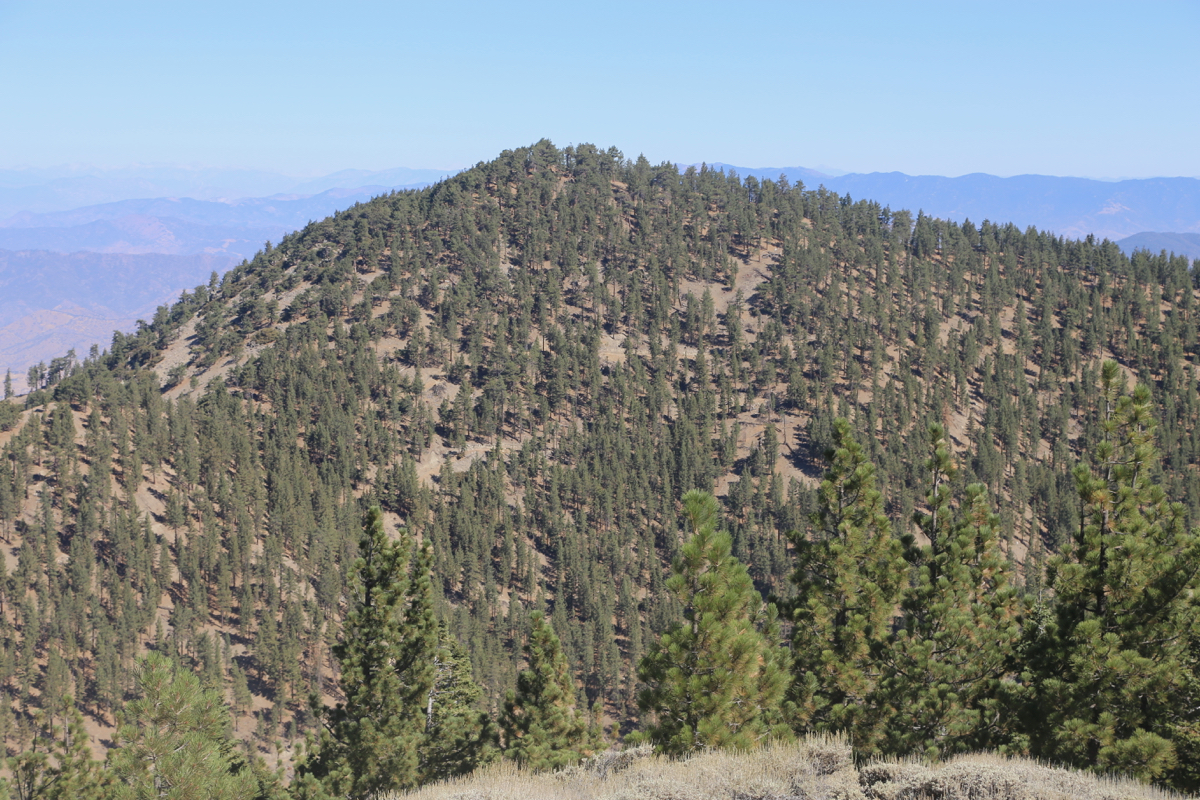
One first climbs Tehachapi Mountain, see the description
there. Next, traverse to Double Mountain.
The best route is to descend (right) and get
to a small col on the connecting ridge. You bypass the small hump following a small
trail on the right side. Continue on easy ground down the main ridge, as it levels, head
right and find a forest road at location N35.04171, W118.49351, elevation about 2210 meter.
This road can then be followed to the summit.
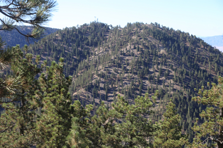
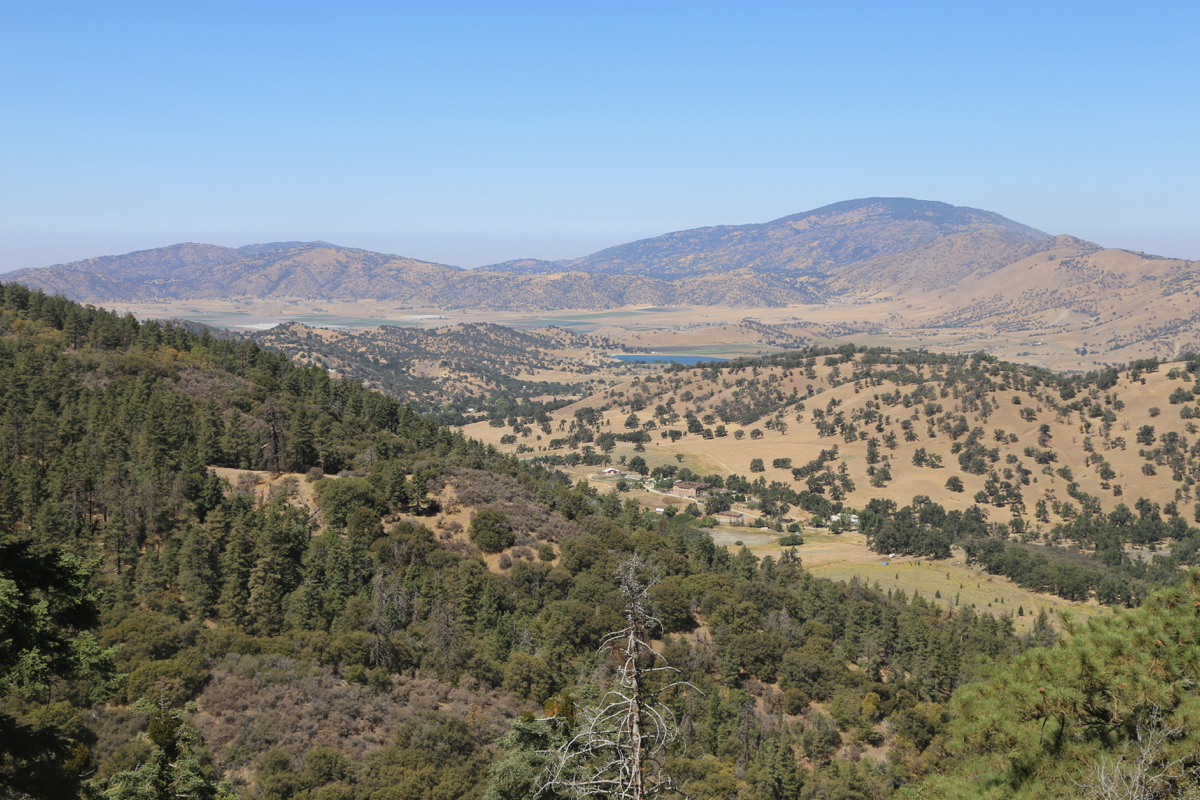
There are two summits, both listed with the same elevation on the map.
The first one has an open clearing with good views. It is hard to see
details across to the other summit because of vegetation.
The second summit has several antennas and a few small buildings. However,
the highest point is on gras and it can be accessed by making a small
detour (left) to avoid the buildings.
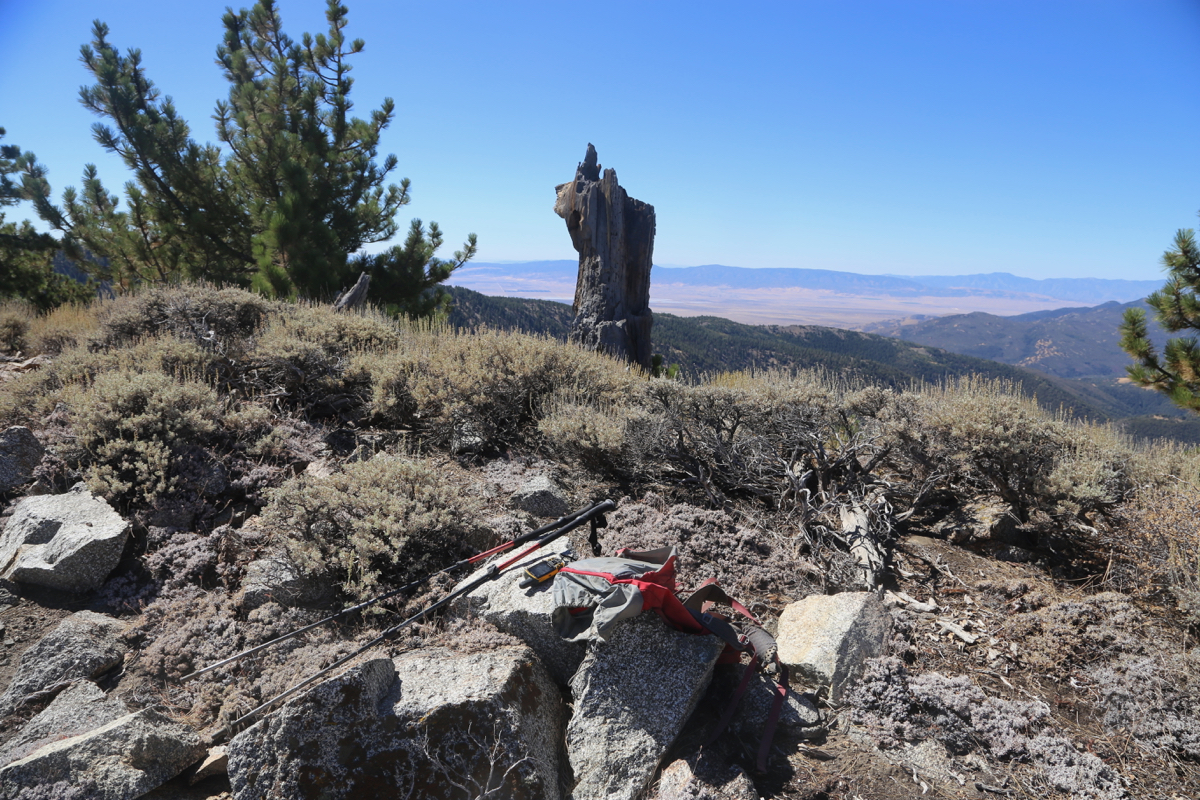
Comments:
Leaving Westwood early, I had a nice drive via Palmdale and arrived at the trailhead
around 0815. Ready to hike by 0830, it took me an hour to reach the summit of
Tehachapi.
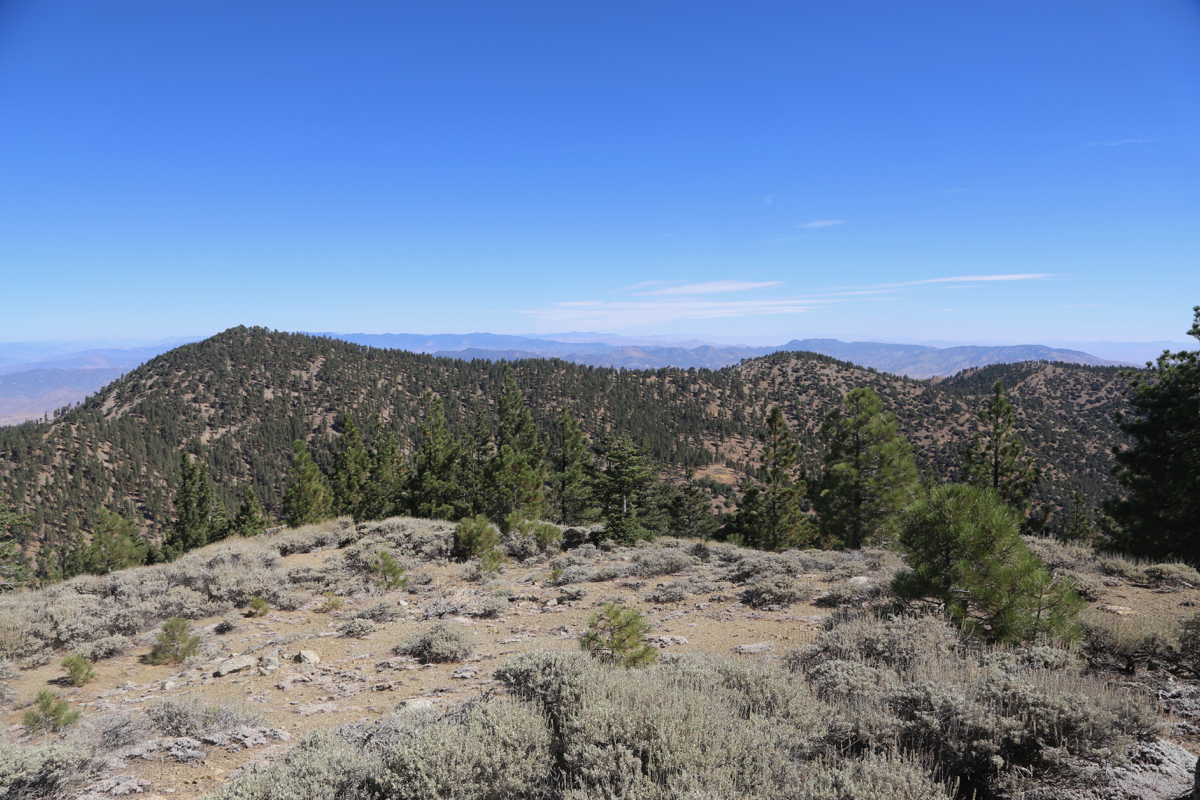
After a break there, I descended towards Double and soon realized that the connecting
ridge was further across right. I angeled that way, but decided to bypass the ridge
taking a somewhat lower route, then regaining the connecting ridge close to the
slopes of Double Mountain. This plan worked well and I connected to the road, then
followed it to the top, arriving there at 1045, just about an hour from Tehachapi.
After a nice break, I walked over to also visit the other summit. This one less
nice with antennas and general, unfriendly signs about keeping out. I subsequently
returned, this time following the road a bit longer, then walking up along the
connecting ridge, only bypassing the small hump on the left side.
The return hike to Tehachapi took 50 minutes, the subsequent descent back down
to the campground another 40.
This was overall, a very nice hike with a bit of variation along the way.