Location: North 37.66584, East 031.30116 (GPS on the summit)
Difficulty: YDS class 1
Climbed July 12. 2016.
Information:
How to get there:
Start out from Egirdir and measure from the Mosque where the causeway to
the small island of Ada connects to the center of town (km 0.0). Drive along
the lake towards the SW end of the lake, at km 4.4 cross a bridge and follow
signs for Aksu. Pass Agilkoy and continue on road 32-09 to Aksu. In Aksu,
(km 27.4), turn right and start following signs for Yenisirbademli. At kilometer
37.7, the road to Yenisirbademli forks off left, do not miss this turn!
Continue to follow the signs for Yenisirbademli, the road will climb on the left hand
side of a valley, you will see the goal, Dedegol in front up on the right hand side.
The road arrives at a col at approximately kilometer 50, take the good and obvious dirt
road that forks right. This road will in about one kilometer get you all the way down
to a col with grass and good spots to park. This is the trailhead, location
N37.69832, E031.29591, elevation 1700 meter.
Route description:
Take the big path that heads directly uphill towards the mountain. Crossing through
some pine forest, it soon levels out and slightly descends to a new shallow saddle, this
time directly at the base of the mountain. The trail zig-zags up the first steep slope, then
continues up a small moraine ridge with a small valley basin on your right. The trail is
sometimes a bit hard to see, but it is well marked with cairns. The route runs up some
rocky sections, then along a small shoulder to the base of a new, large slope. Zig-zag up,
then traverse around the corner going right. You are now at the base of a final slope to
the summit. The trail runs left, then a long climbing traverse going right that tops out
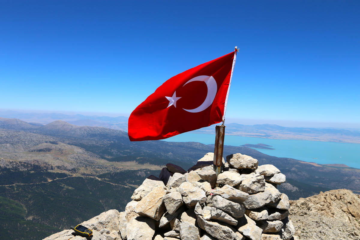
on the shoulder immediately below the summit. Turn left and ascend a short and easy final
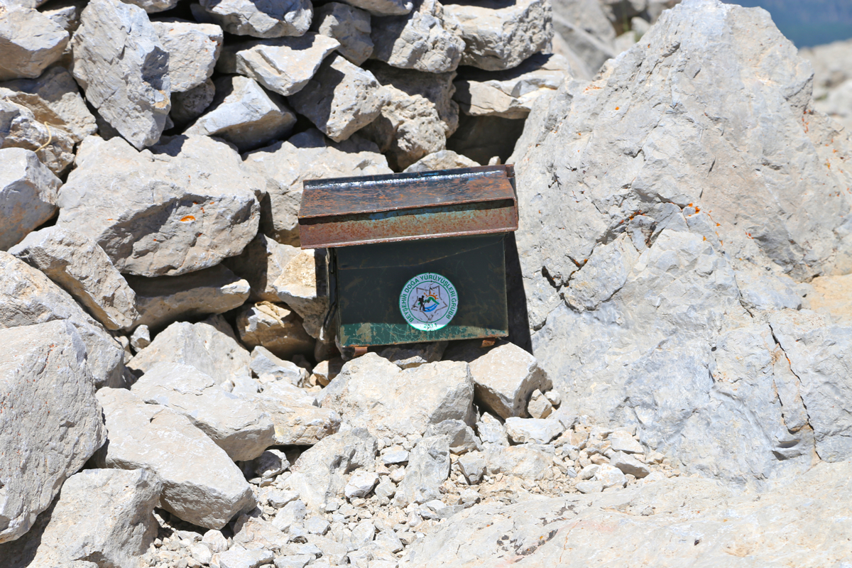
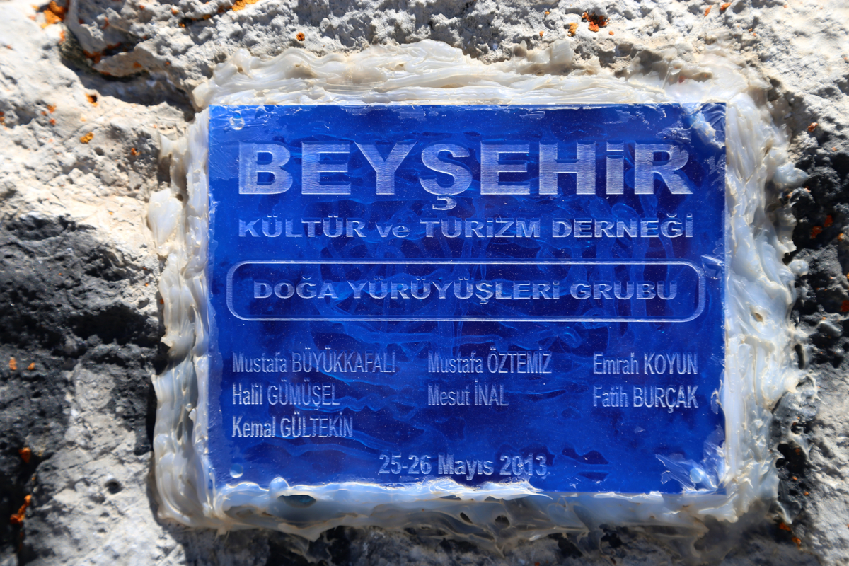
slope. The summit has a cairn with a flag,
there is a summit register as well as
some special inscription on a plaque. Comments:
Heidi and I drove from Egirdir after breakfast at the Choo-Choo, following the descriptions
by McLellan that had already served me well on several peaks. This time, we still made a mistake
since the 90 degree turn off the road at kilometer 37.7 had been omitted. Unfortunately,
the description of a right turn (at km 40.3) exactly matched (but in the wrong village), we
therefore happily continued until the driving directions and our road finally ran into
disagreement. We realized that the intersection we had passed more than 10 kilometer up
the road could be the explanation for this trouble. Back there, indeed a sign for
Yenisirbademli put us back on track.
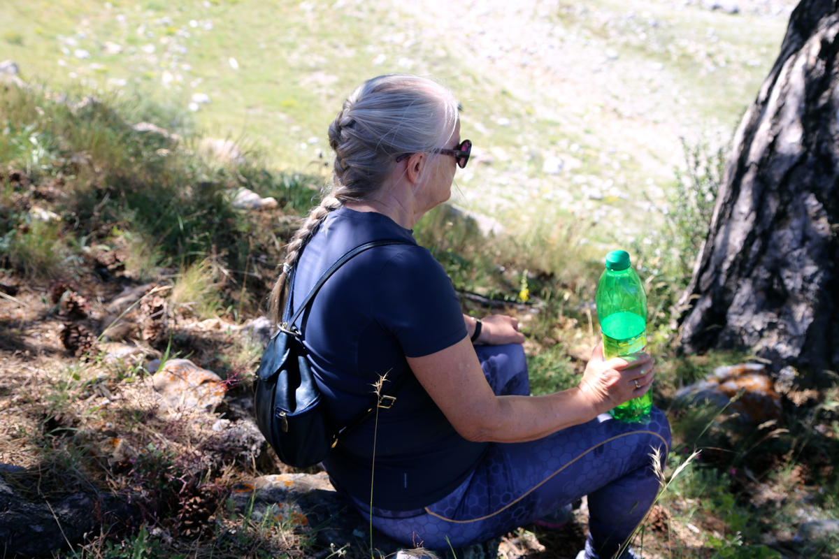
We started hiking at 1100 and
with a few small breaks, made a grassy area at 2200 meter by
1215. Heidi decided to stop here and have a long break reading (her Kindle came along), while
I climbed the peak.
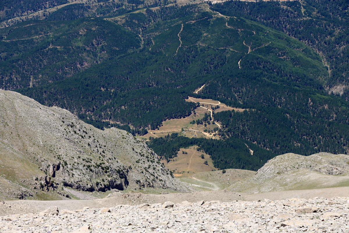
Continuing at 1230, now with a light pack, I completed the remaining 800 vertical meter
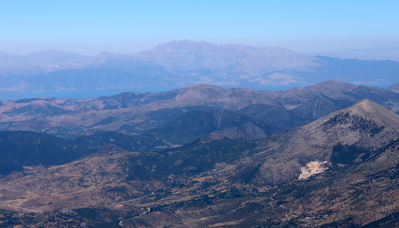
arriving at the summit at 1345. A very nice viewpoint, the big lake to the east, the Egirdir lake
further west. A very good mountain landscape right here. I wrote an entry in the summit register
and noticed the entry from last October by the McLellans, they obviously had a very different
experience, writing: "We hope this is Dedegol", fog and rain and no visibility.
Today, I can see directly back down to the trailhead.
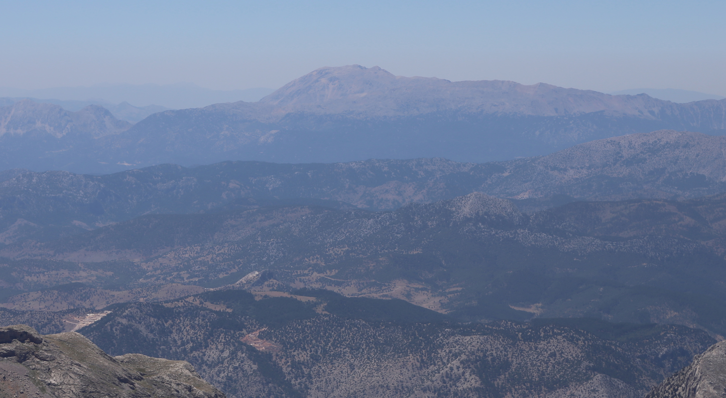
The mountain stretches onwards and a very smooth,
rounded top quite a bit further looks
almost as high. My sources of information had this peak at 2980 meter, but my GPS records almost
3000 (2997m) after a 10 minutes period of sampling. I noticed that McLellan had a similar
reading last year and that Turkish sources also quote an elevation exceeding 2990 meter.
I descended at 1400 and returned to Heidi in 50 minutes. We continued downhill and reached
the car by 1600.
Here is a quick summary of peaks climbed in our trip to Turkey.
Resources:
Images
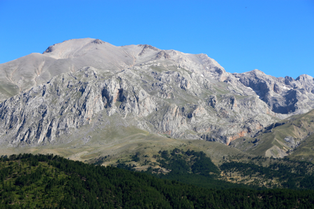
Barla Dagi as seen from Dedegol (across lake Egirdir)