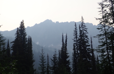
Cond Peak
- Cond Peak
- 2801 m
- Primary factor 1720 m
- British Columbia, Canada.
- Location: North 49.74610, West 117.14179 (GPS on the summit.)
- Difficulty: YDS class 2
- Climbed August 16. 2018
Cond Peak
|
|
How to get there:
Locate the town of Nelson, at the end of a narrow (lake) arm extending west from lake Kootenay.
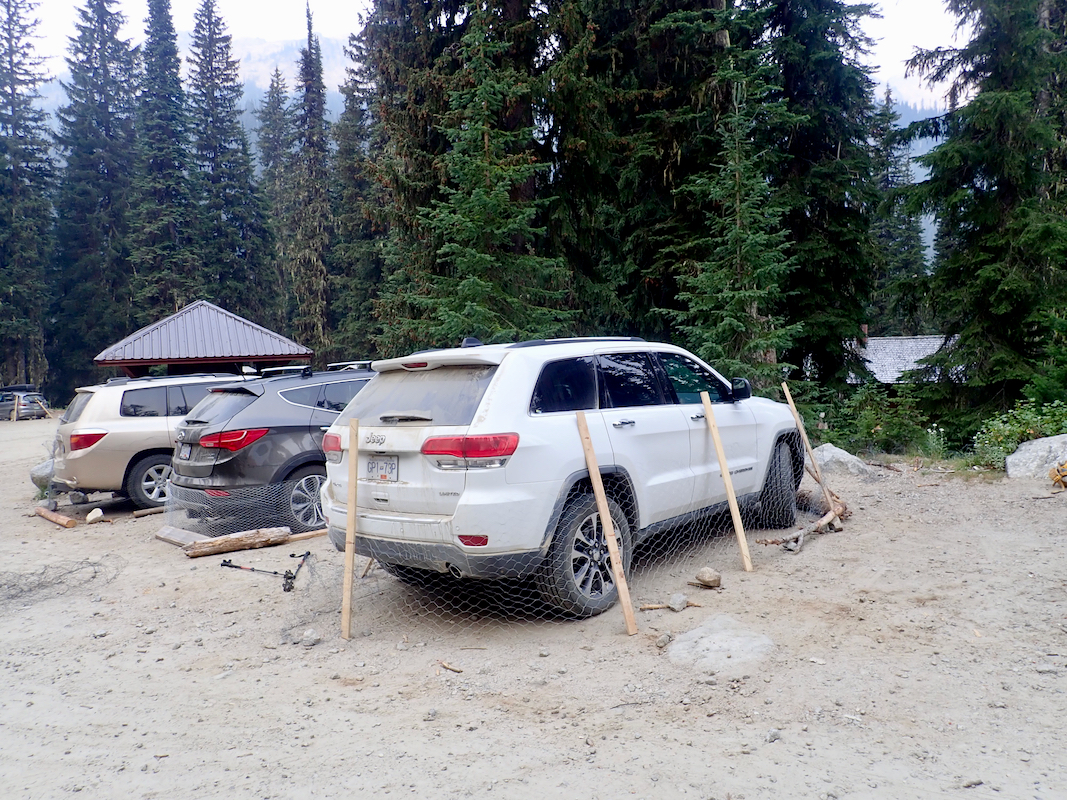
Drive north on Hwy. 3A, crossing the lake then continue to Kokanee Creek Provincial Park. The access road
forks sharply left near location N49.61143, W117.11617. Drive this road to its end where there is parking,
location N49.72315, W117.15300, elevation about 1580 meter. There is chickenwire that may be used to
protect your car from porcupines.
Route description:
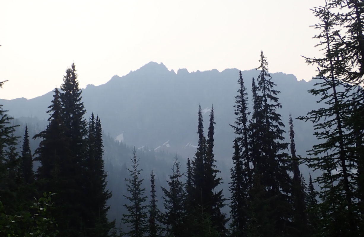
This peak is a nice day trip.
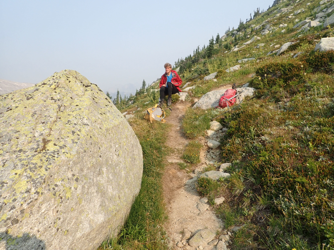
Continue up the obvious trail. At location N49.73944, W117.16293, elevation near 1960 meter, a smaller
trail forks uphill (right). Follow this trail
as it climbs the hillside. Higher up, the trail splits
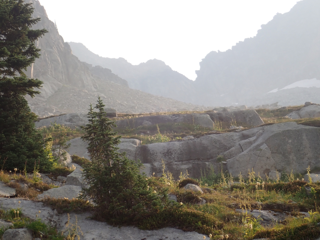
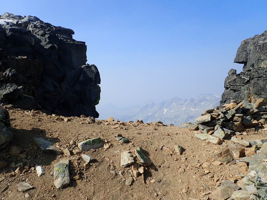
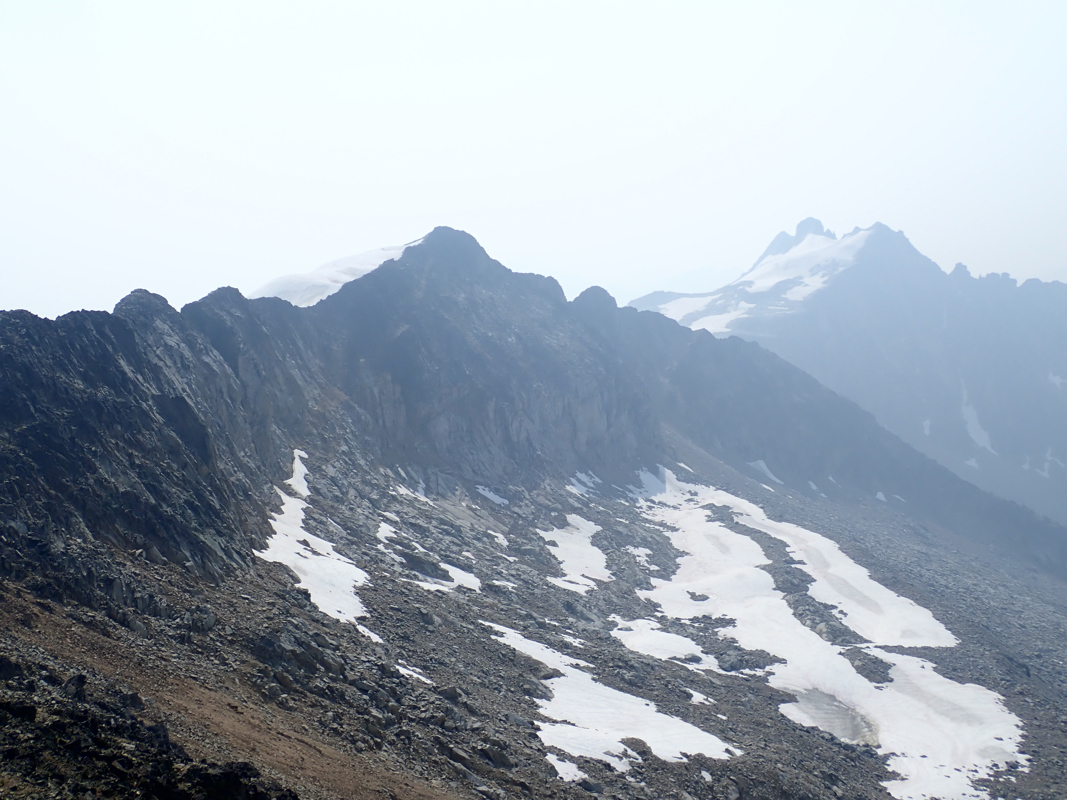
into several variants, keeping left is possibly the better choice. High up, at the horizon, you will
see the very characteristic notch
(keyhole) where the route is heading. Before that, the route may
cross some smaller snow fields and pass an area with larger boulders. Again, there are some variations, but
tracks from previous climbers will help to identify a good route. Finally, complete this part by
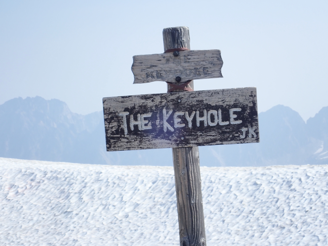
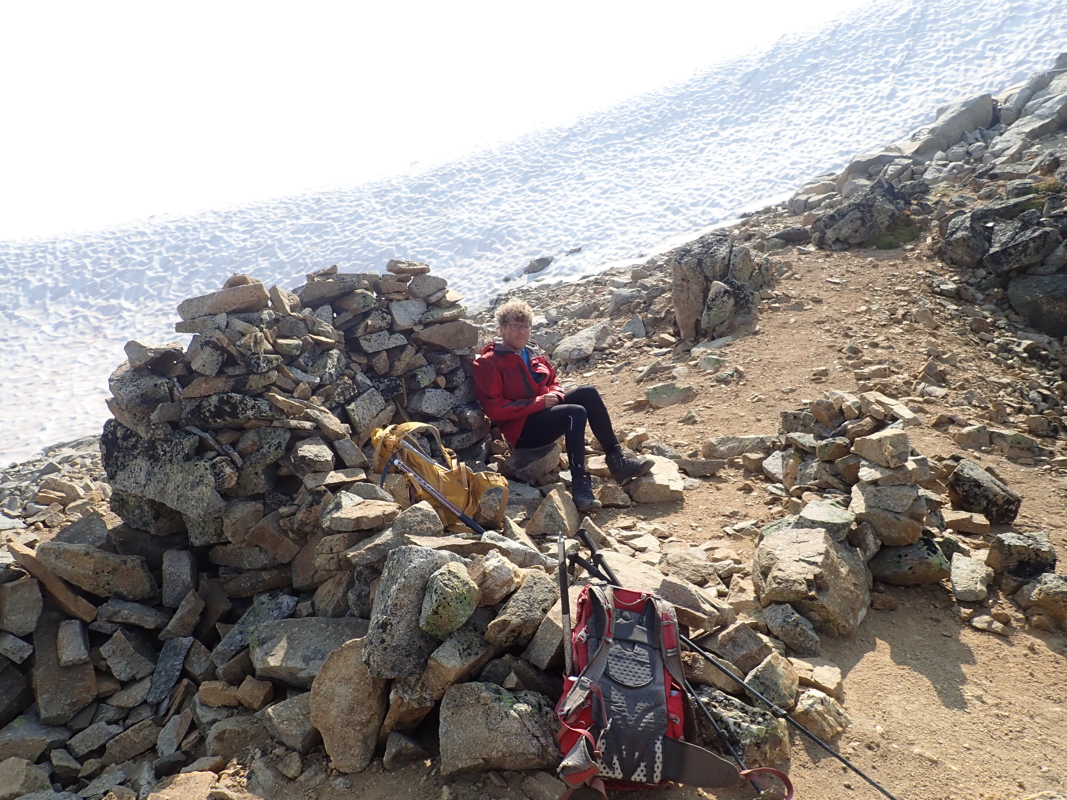
moving up to the main crest in the keyhole.
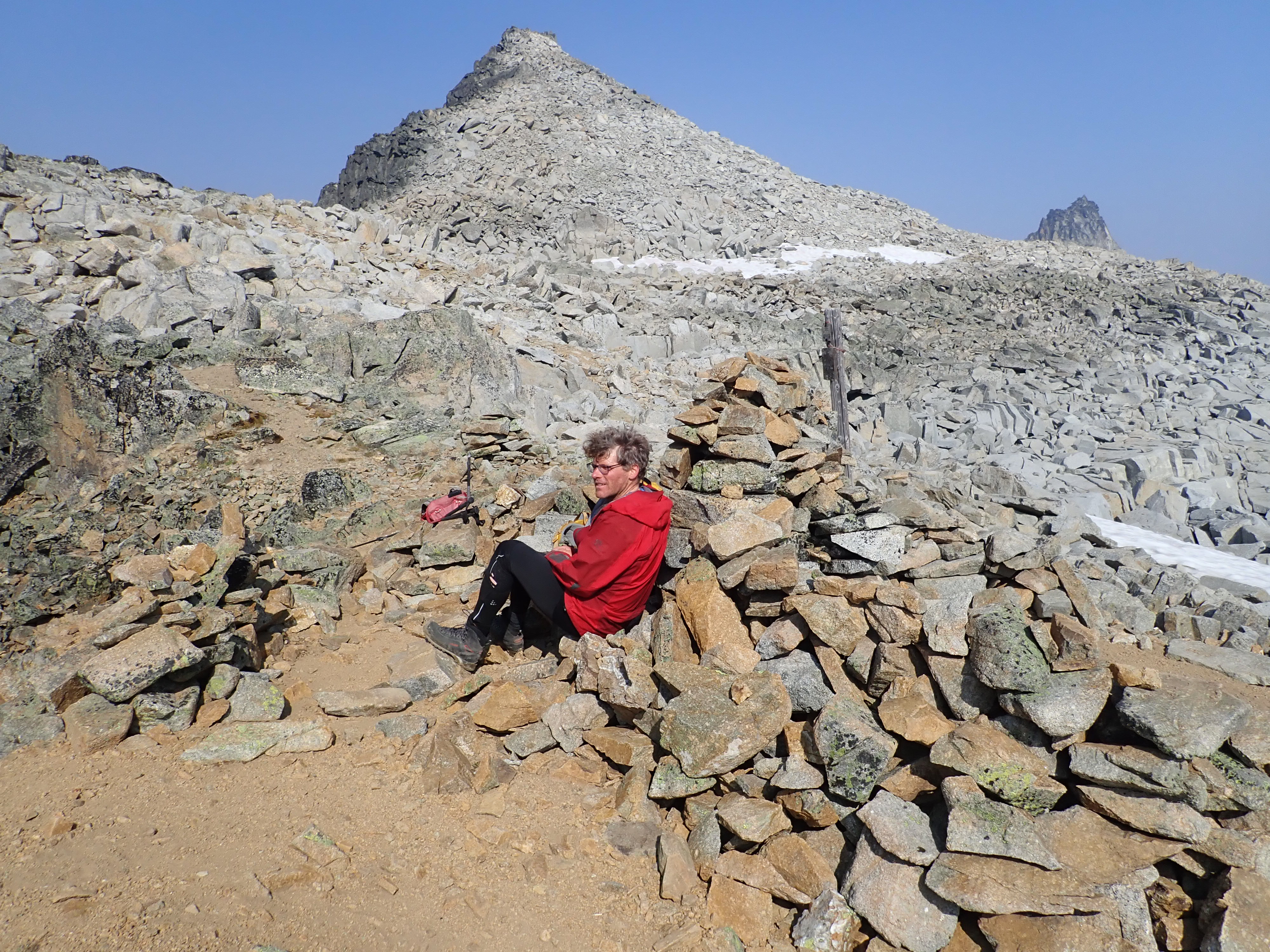
This is a nice place
and an obvious place for a short break.
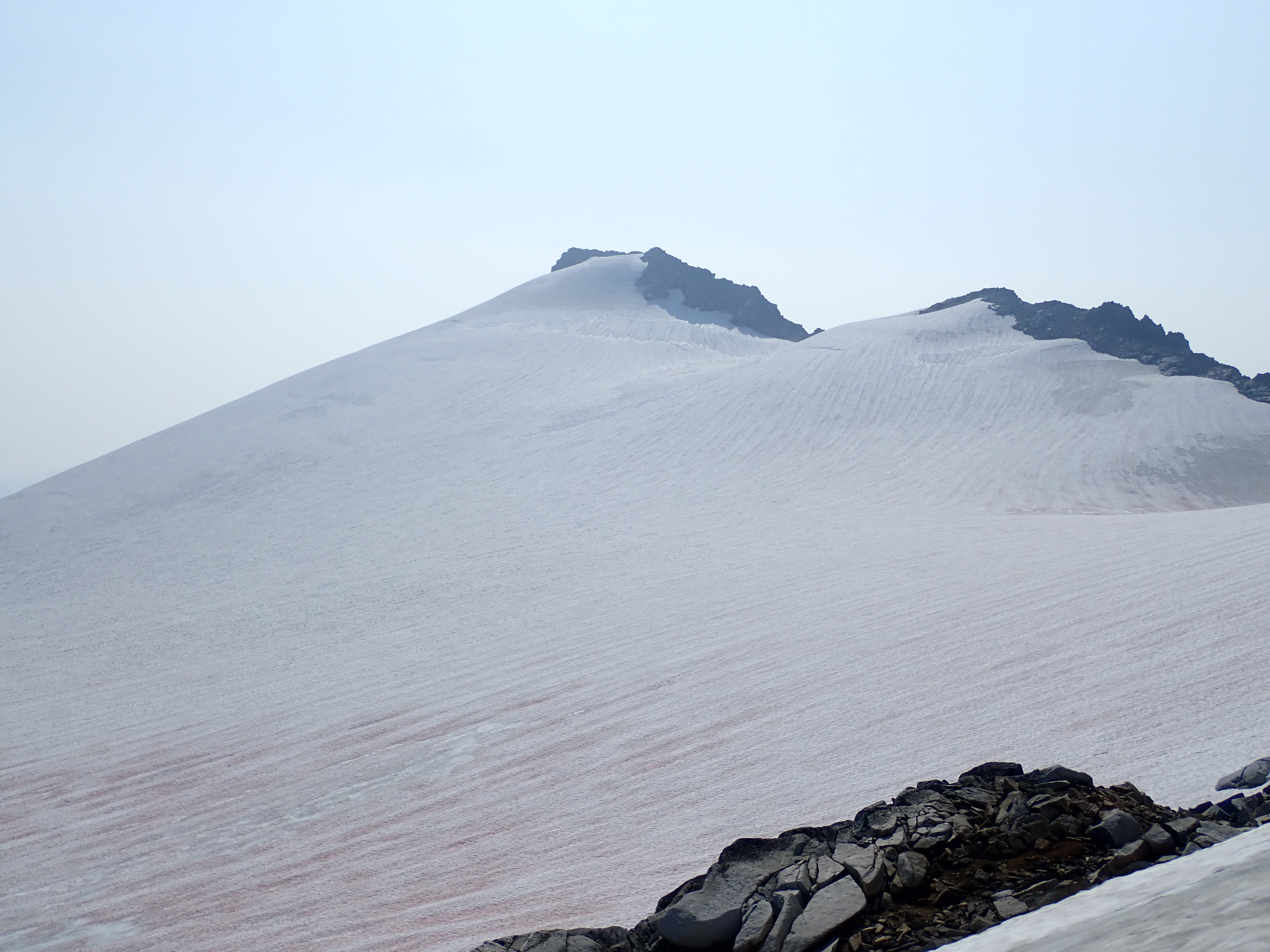
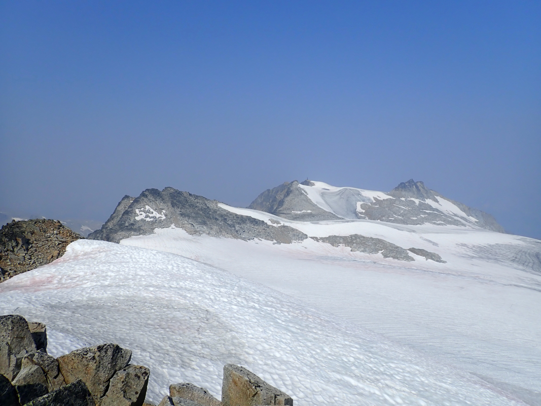
Next, the route continues with a short
descent to the glacier below. The best route is likely to descend directly. Cross the glacier (pretty
free of crevasses) aiming slightly left of the summit.
This way, one can stay on easy slopes not exceeding
around 20 degrees all the way to the final summit rocks.
Comments:
After a travel day, we were now ready for a peak that would go as a day hike.
We left our motel early and parked at the trailhead by 0700. A very nice trail and
good weather, we quickly gained elevation and located our trail fork after one hour.
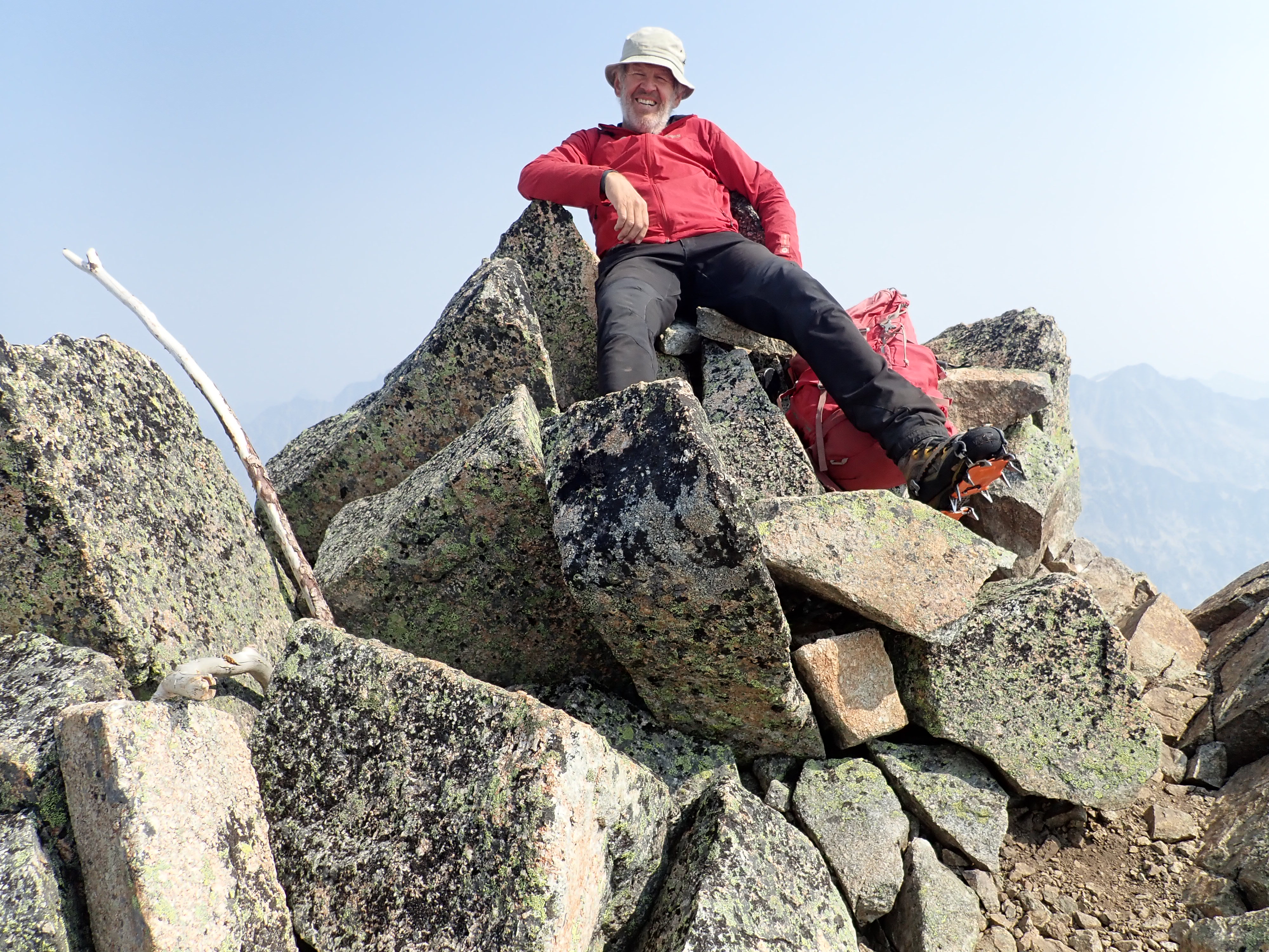
Proceeding uphill, we arrived at the crest/keyhole around
0945, time for a break and photos.
Proceeding from here with almost
all the ascent behind us, we arrived at the Cond summit at 1020.
Sunshine and
good views all over. We relaxed and stayed 35 minutes before starting our return at 1055.
The hike back down was also very enjoyable and we arrived back at the car by 1305, so
2:10 for the descent.