Location: North 40.19804, East 019.63975 (GPS on the summit)
Difficulty: YDS class 2
Climbed July 11. 2013
Information:
How to get there:
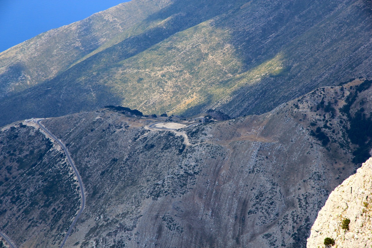
The best trailhead for this peak is a 1030 meter col on the coastal Hwy. going south from the
city of Vlore (direction Sarande). This col is about 35 kilometer south of Vlore, the Hwy. descends
steeply back down to the coast (and the town of Dhermi) immediately after this col.
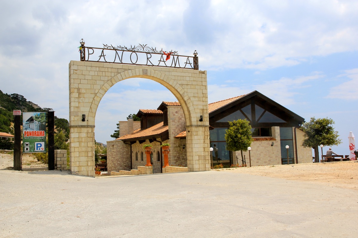
A restaurant named Panorama is
located immediately after the col. This is the best place to park.
The trailhead is a bit obscure, walk about 50 more meter after Panorama (direction south / Dhermi),
then find an unmarked trail that goes up (a bit steeply a couple of meter) to your left. This is
the beginning of the trail, location N40.19693, E019.59697, elevation approximately 1025 meter.
Route description:
As soon as you have started out on this slightly obscure trailhead, follow the trail sort of
to your right. The trail does not gain much elevation in the beginning. Arrows made with red paint
are supposed to be the trail marker, watch for this. The trail runs through some small section
of forest, there may be a few variants in this first section. After a bit, you sort of reach the lower
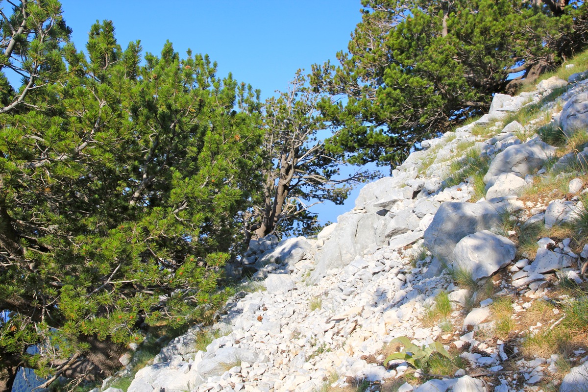
part of a ridge that extends up to your left side. The trail zig-zags a bit up here in somewhat
loose earth/scree. There are red arrows. From here on, the trail becomes more distinct and
easy to follow.
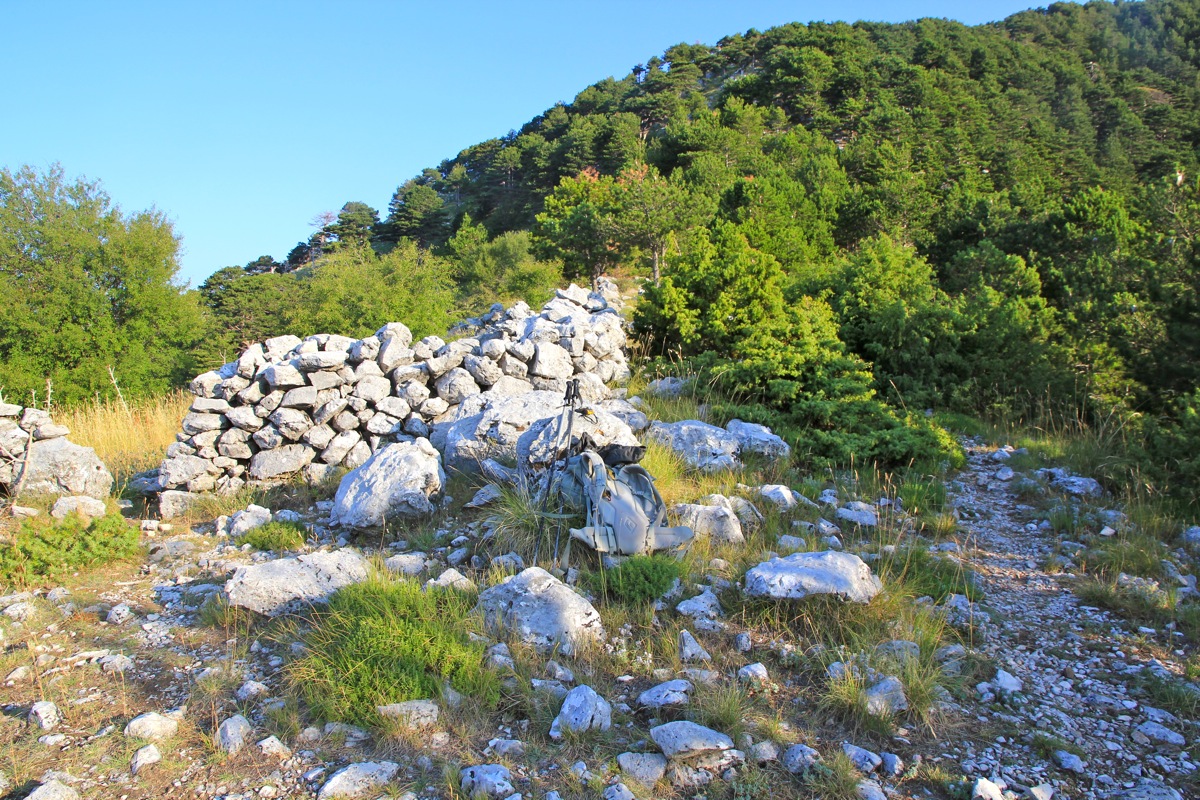
After an initial climb, you arrrive at a short somewhat more level section of the ridge with the remains
of a stone structure. Continue through a short section with forest and arrive on the first, flat section
of the ridge. There is even a short drop in order to connect with the steeper ridge that extends to the
summit of Maja e Qorres. Just as you begin on this ridge, the trail runs left and there are some signs and
arrows in red paint on a big rock. Leave the red marked trail here and head directly uphill along the
main ridge. There is a shepherds trail that can be followed more or less as it climbs this broad, but somewhat
steeper ridge.
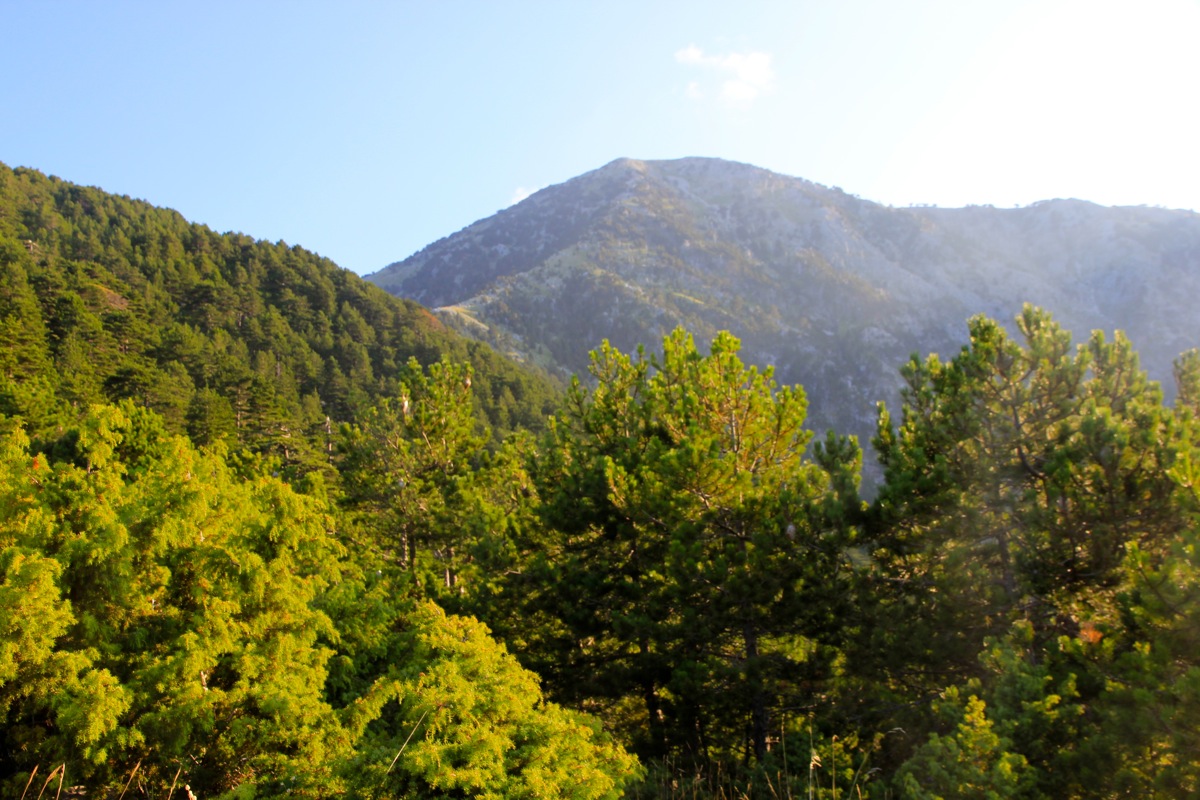
At about 1865 meter of elevation, location N40.21384, E019.60534, a very clear trail traverses to
your right. This is the best route if going directly to Maja e Cikes. Consider hiking via Maja e Qorres on your
return hike for extra credit.
The next section of the route is to traverse the nice ridge across to the base of Maja e Cikes. There are
trails with a few small variants. One trail starts out traversing below the crest of the ridge on its left
hand side (viewed towards Maja e Cikes). Another option is to basically follow the top of the ridge, I tried
both of these alternatives. The last col before starting the final climb turns out to be the deepest, thus
defining the prominence of Maja e Qorres. The last section before this col is generally running on your
right hands side of the ridge crest.
The final climb follows the top ridge, then runs more to the left side around a false summit and into
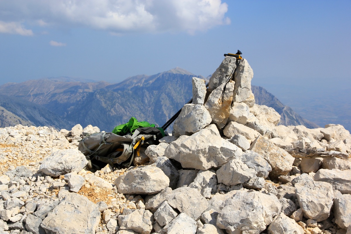
a small basin below the proper summit. Follow the trail and you will soon be at the small pile of
rocks that serves as a summit cairn.
There are two summits, the one most south-east (the second you will arrive at) is likely slightly
higher, my GPS measuered it to be one meter higher. Climb both summits, since this hardly
requires any additional effort.
Comments:
I left my hotel (a very nice place, Hotel Liro) around 0600 and parked at the highest col
around 0630. I had driven a short distance beyond the Panorama restaurant located near the col, in order
to look for a trailhead. Since I did not see any obvious trail, I parked at the highest point just opposite
what looked like the most promising way to start out, a small dirt road heading uphill.
I started walking at 0635 and my little road did not turn into a trail. I decided that my best option was
bush-walk straight uphill, gradually traversing a bit to my right. I would then get to the ridge and hopefully,
find a trail.
This theory worked well, at 0713 I was on a somewhat level part of the ridge and a trail was ascending from my
right in the proper direction. An old stone shelter
was located right nearby. I could see the route going up
the ridge towards the
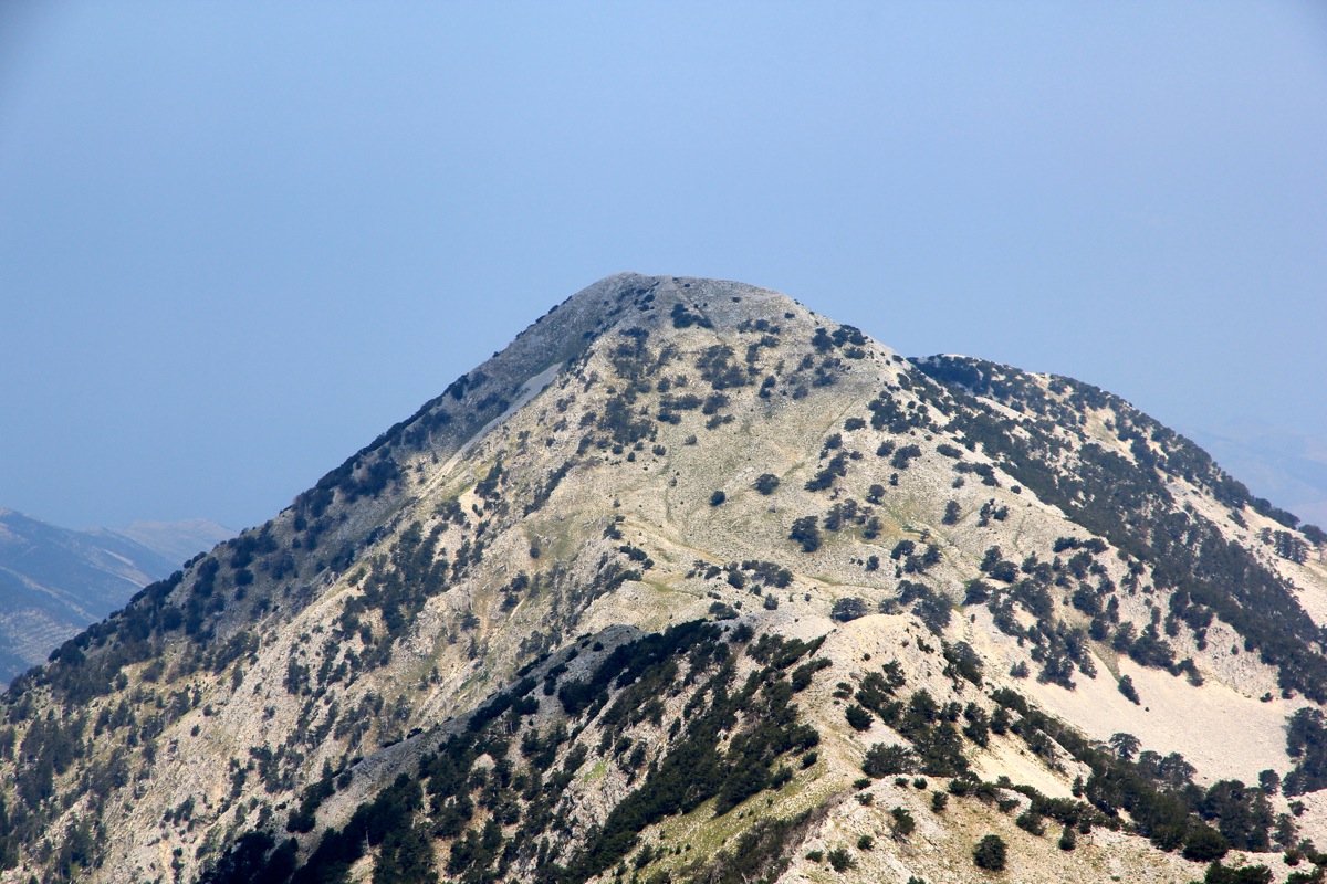
summit of Maja e Qorres, a peak that might be part of my route.
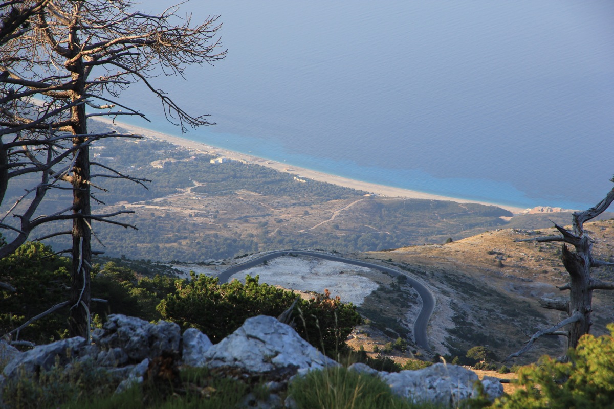
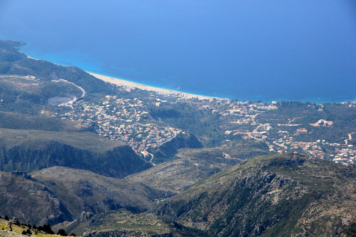
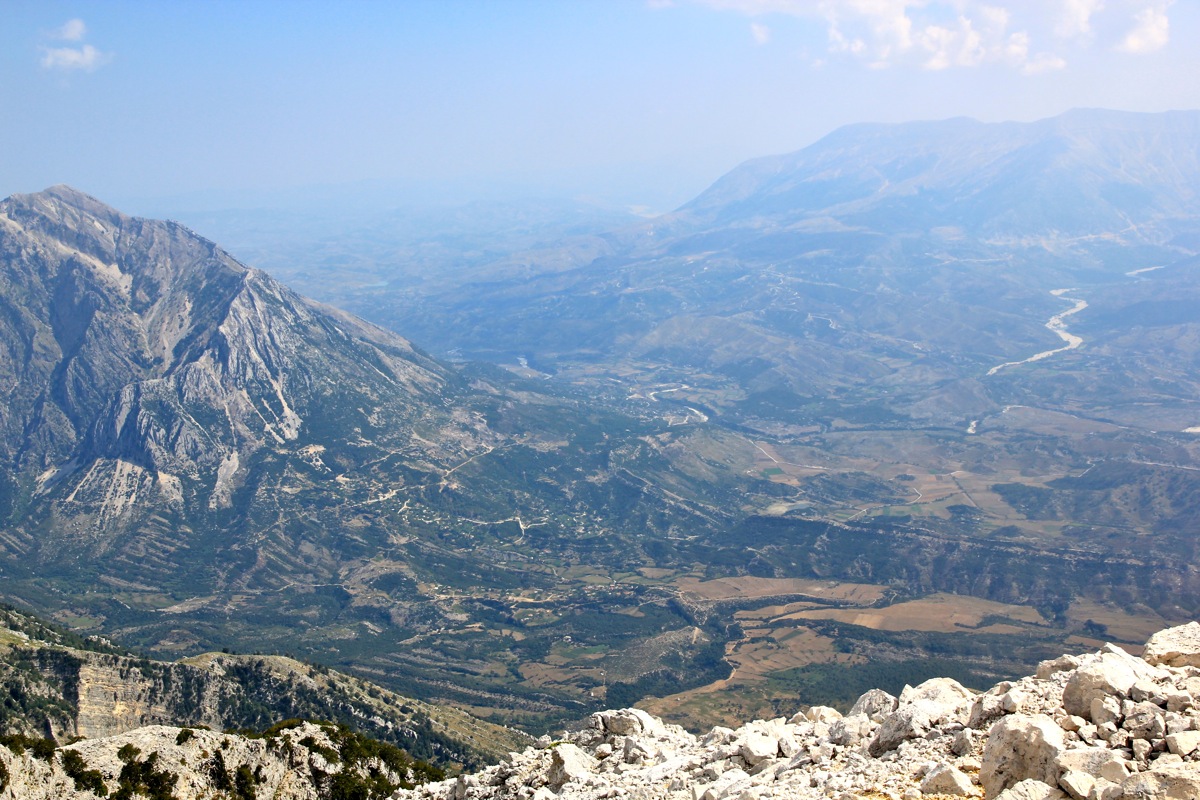
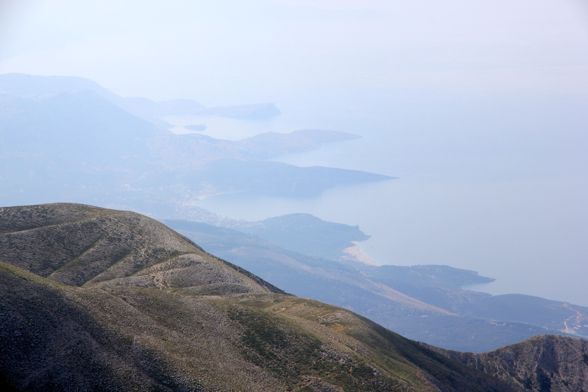
The view downhill all the way to the coast was also already quite nice.
Just as I started on the main ridge, red paint made me leave the bigger trail (that seemed to go left) and
continue up the more or less straight line direction for the summit of Maja e Qorres.
This hill was moderately
steep, but clear signs of a trail prevailed and made me zig-zag uphill.
However, higher up a nice trail traversed off to the right, a clear
choice to connect with the main ridge.
I decided to visit Maja e Qorres on my return hike.
The route was pretty obvious and I followed a trail
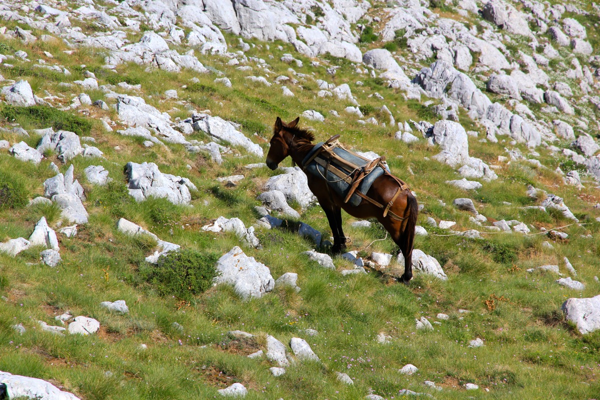
that stayed on the left side initially. Just as the trial crossed over to the opposite side
I came across a horse,
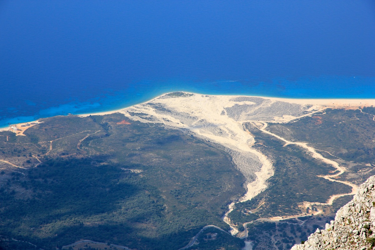
but no local people to see. I arrived at the summit at 0950. Very nice views, this peak
drops 2000 vertical meter to the beach below.
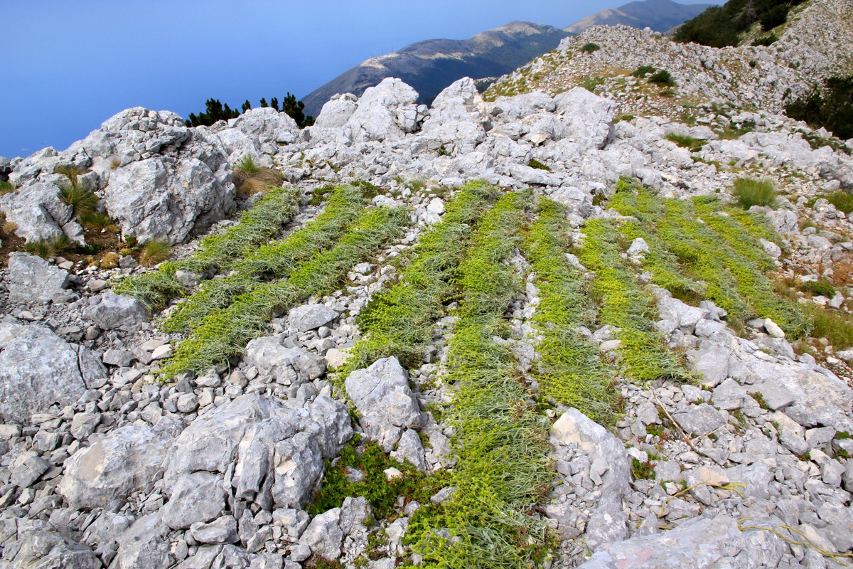
I had a can of Coke, then left at 1015. On my way back, I stayed more
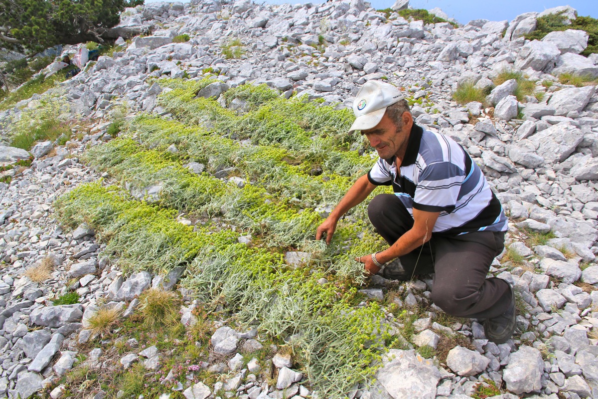
at the ridge crest and there I met two local men that were out picking Sideritis,
a plant that they use to make
local tea. There is actual scientific evidence that
this plant may supply active ingredients that may have
positive health effects.
The plants were laid out neatly to dry.
The local people call this drink Caj (tea) or Caj Mali (mountain tea).
I continued across the ridge and up on Maja e Qorres, arriving there by 1130.
Leaving at 1140, I made my way down, this time following the trail all the way until it hit the road
in order to discover and document where to start. I was at the road by 1255, and the next hing in order was
obviously to visit the Panorama restaurant for a glass of cold Coke. Only a short hike remained, going back
to the highest col where I had parked my car. I was back at the hotel for a nice w¨swim in the ocean with
Heidi around 1400.
Here is a brief summary of the peaks climbed on this trip.
Resources:
Images
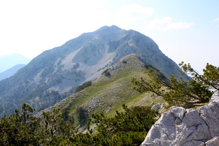
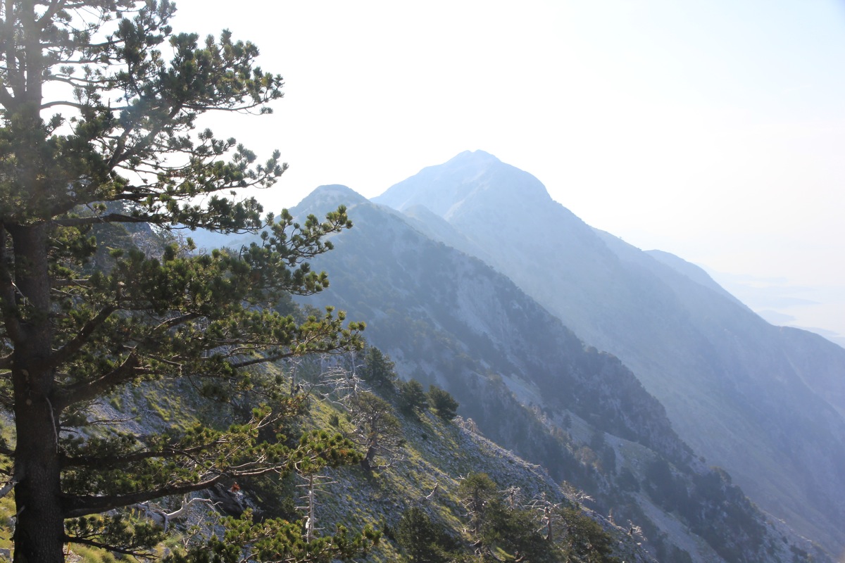
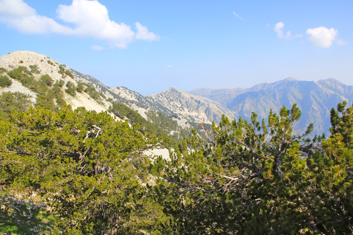
Ridge view, from the ridge connecting Cikes and Qorres.
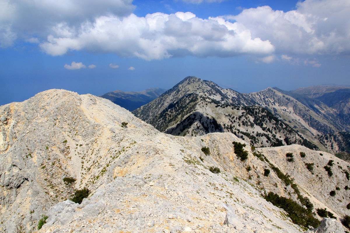
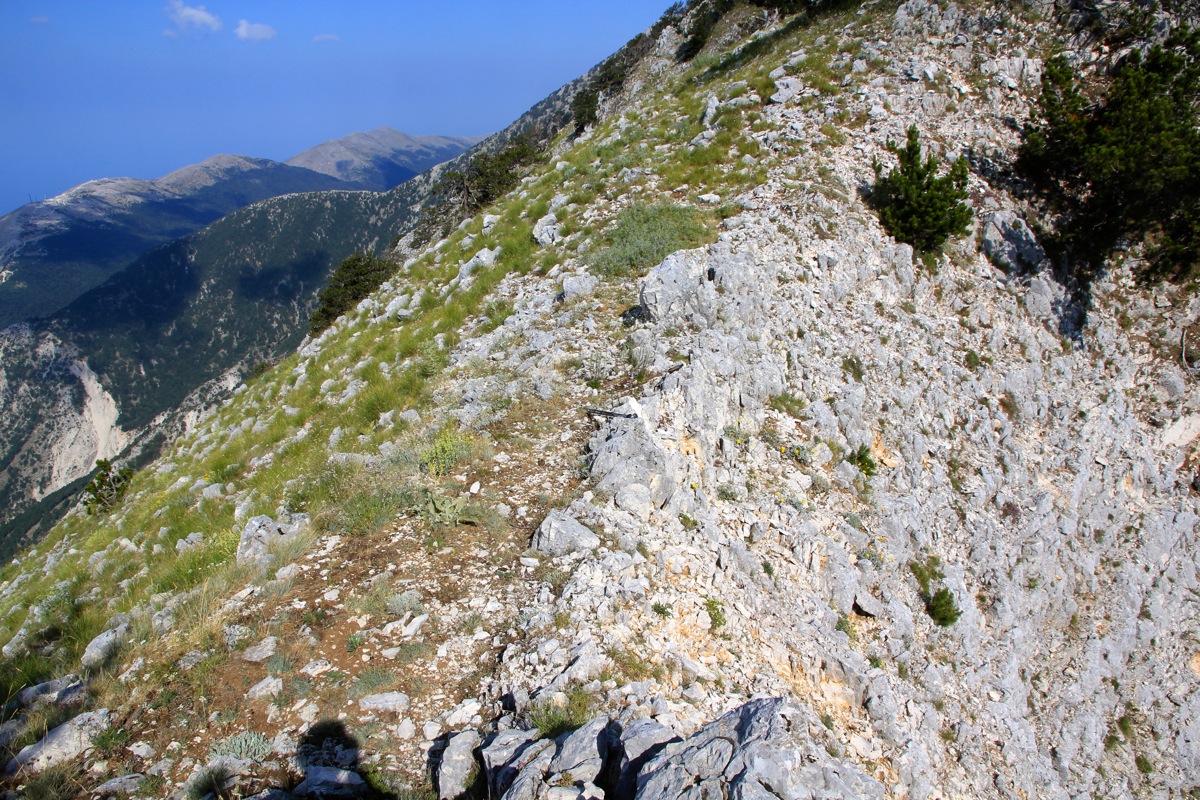
A local col, the ridge had several small cols like this.