Location: North 39.09937, East 140.04868 (GPS at the summit)
Difficulty: YDS class 2
Climbed June 26. 2015.
Information:
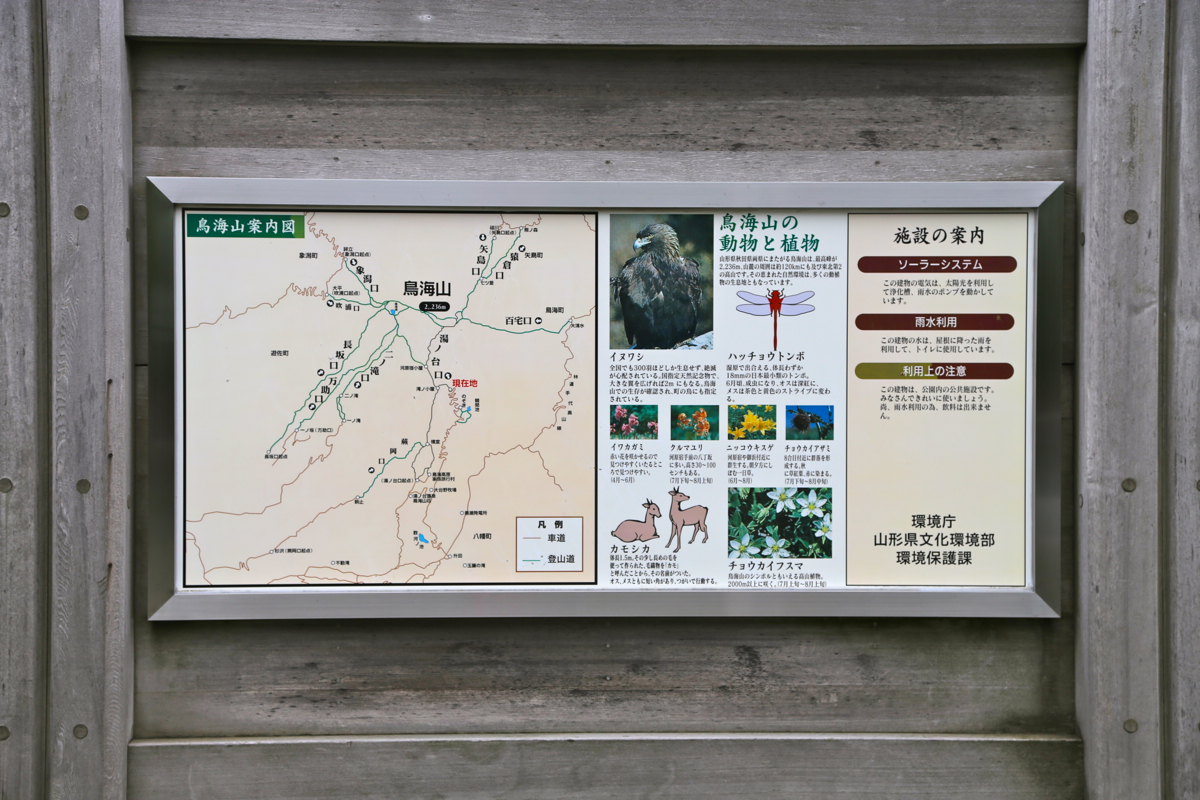
How to get there:
The road ends in a medium sized parking area. From here, you see the
lower part of the mountain.
This location is N39.06896, E140.04639,
elevation about 1200 meter.
Here is a quick reference and summary of climbs in the summer of 2015.
Route description:
If you parked at the very end of the road, you may have to walk back to the first
curve where there is a building on your left and a sign (and trail) on your right.
Head up the steps right next to the big sign
with information.
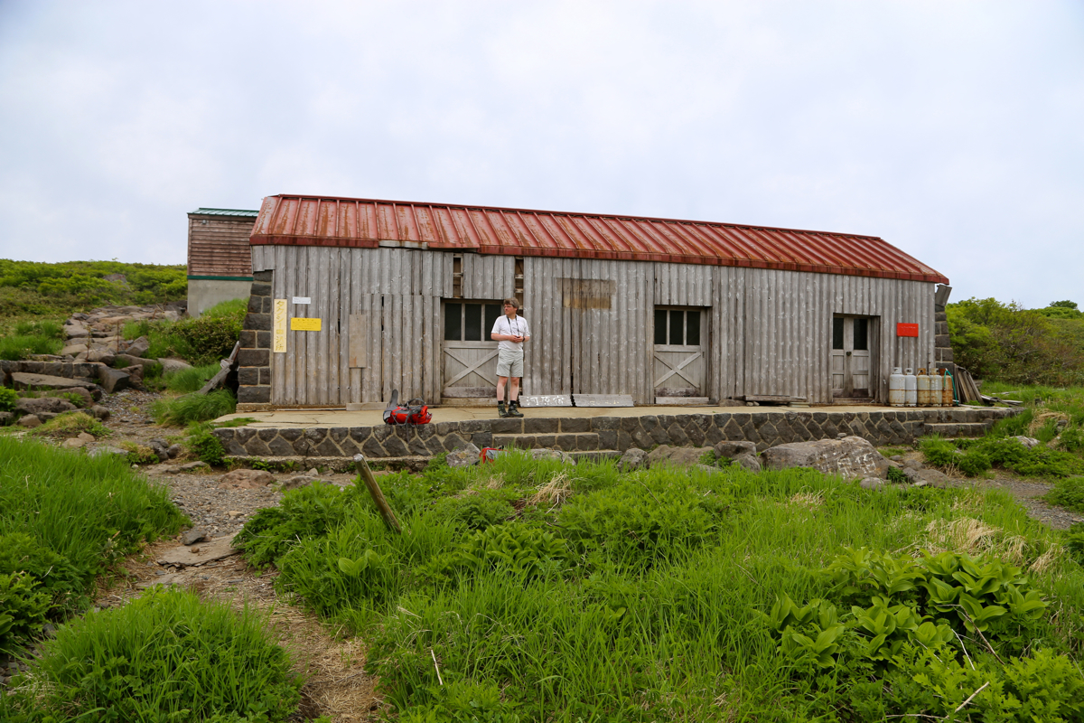
The trail is wide and set with stones, it crosses a creek (on a small bridge), then
arrives at a first (mountain) hut. Next, the trail continues, now more narrow, uphill with
dense vegetation on either side, to reach
the upper mountain shelter at location
N39.07793, E140.03362, elevation 1540 meter. From here (in June),
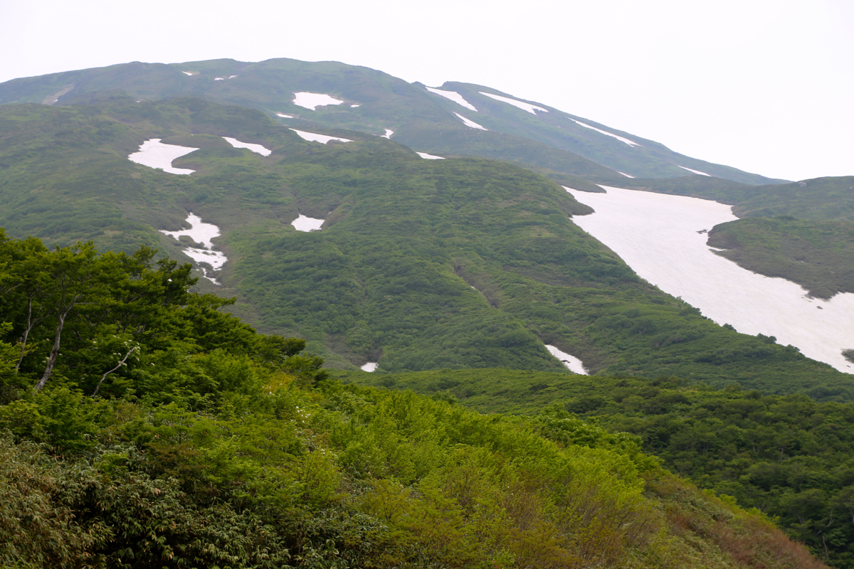
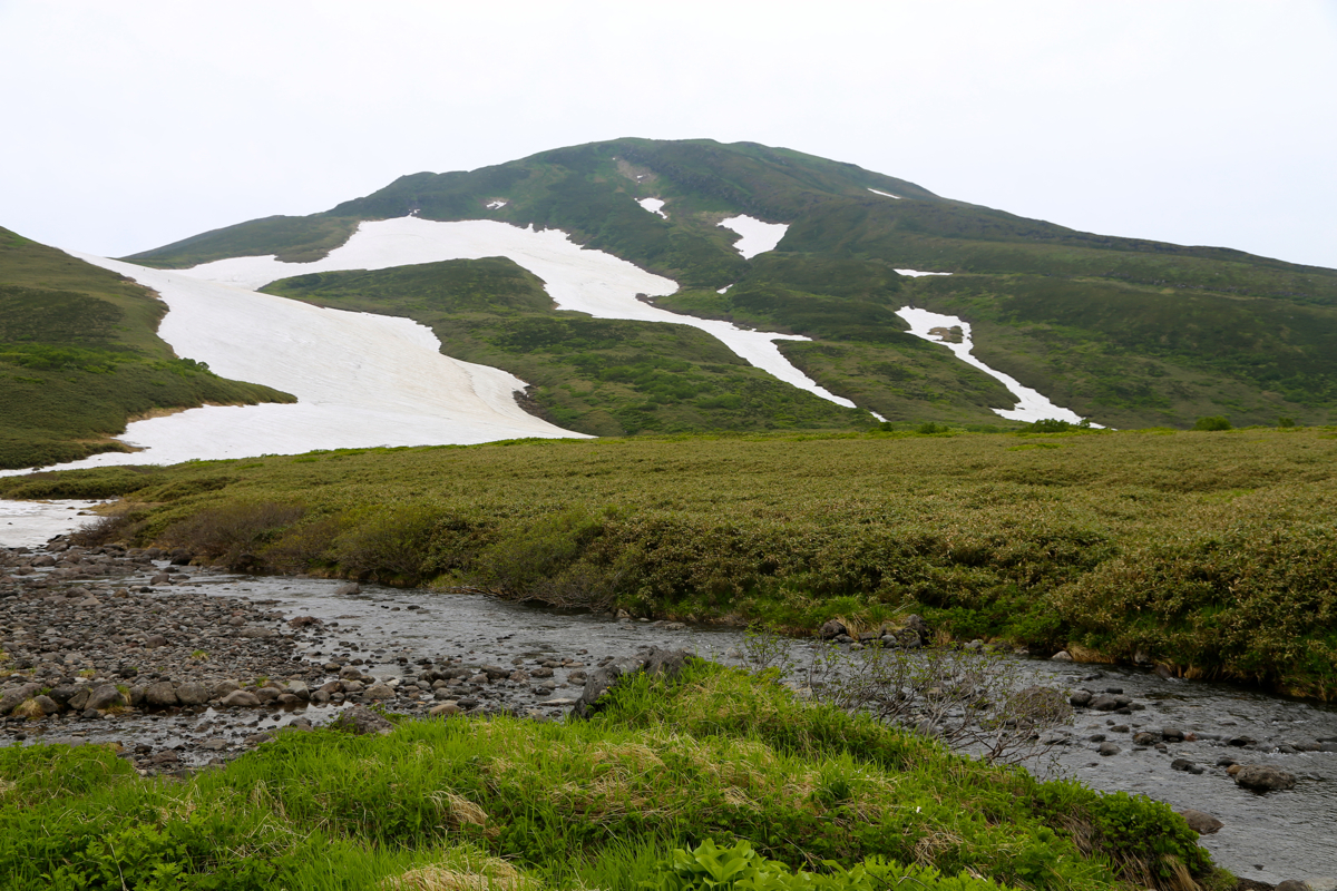
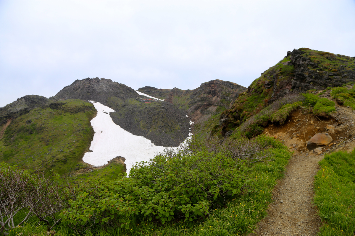
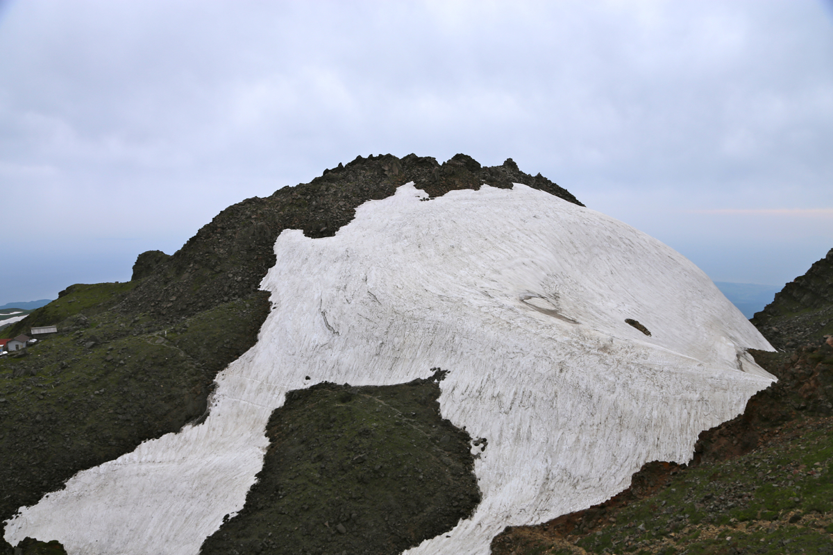
access a big snow field and
walk uphill, then traverse more right to reach the upper part of this area covered with
snow. The trail continues uphill at location N39.09175, E140.03987, elevation about 1920 meter.
Here, the trail has been built with nice steps, easy to ascend. Continue uphill to gain
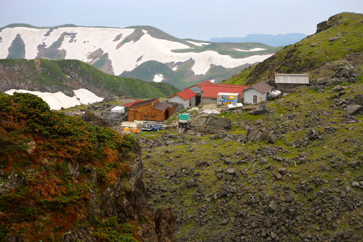
the crater rim. Next, follow the rim
to your right. An interesting cluster of old buildings
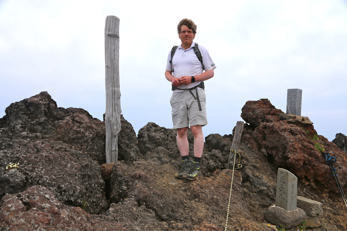
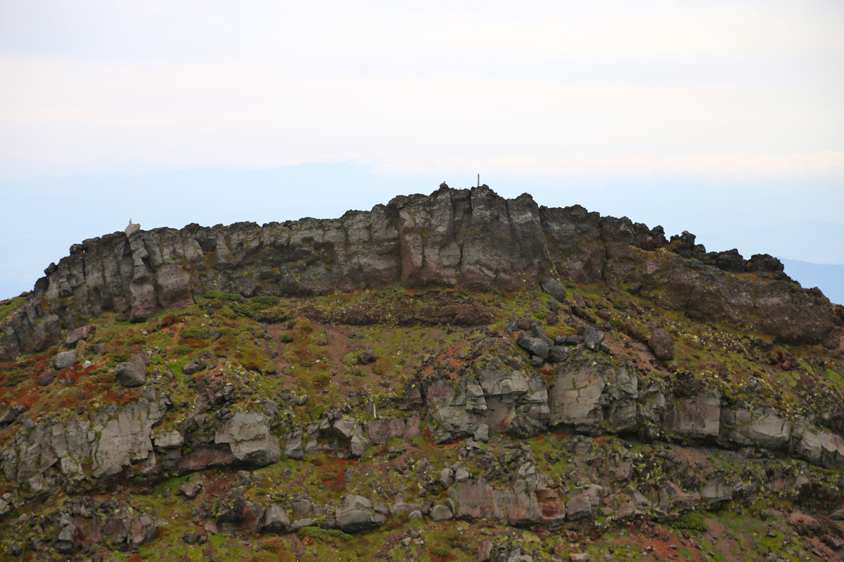
reside inside the crater. This mountain has several summit points of nearly the same
elevation. The first summit is reached by following the crater rim (some small ups and downs)
until you reach what is clearly the highest point along
this route. However, one easily observes
a competing high point across on the far side.
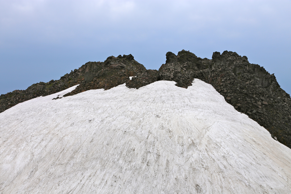
In order to get there, first backtrack from
the summit on this side to a pretty shallow, but clear col, from where a trail descends more
steeply into this part of the (upper) crater. Continue across and ascend (in June on snow) to
gain the rocky area across. The trail/route is marked with paint on the rocks. As it turns
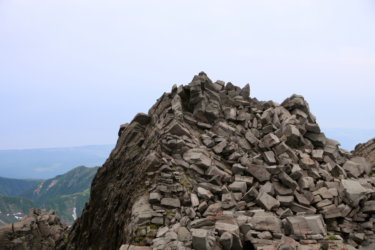
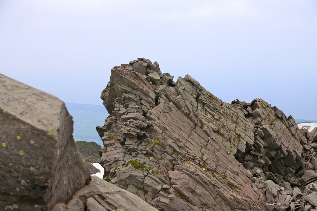
out, there are three rocky points that all have pretty similar height.
The paint-marked route
leads to the one which is most likely the highest point.
It is quite easy to also visit the other two.
Comments:
We started at 1215, pretty late, but unavoidable since we started out from
Morioka this morning. At first, this trail is set with stones as it heads uphill
through dense vegetation. Pretty soon, we arrived at the first hut. From here,
more uphill to the shelter, we were there in 50 minutes and a short break was in order.
From here, we ascended on good snow and realized that we should follow this snow more right
and not just aim for the horizon ridgeline. We were at the crater rim after 2 hours.
Quite a surprise to see the cluster of buildings up here, we did not figure out
what activity (some form of mining?) whould justify this. We headed along the rim and
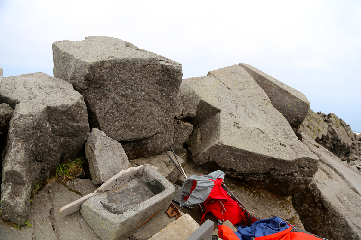
arrived at summit number one at 1440. Next, we wasted a few minutes by trying to explore
a more direct route across to the competing summits on the far side. Eventually, we accepted
the official trail as being the best option, then arrived at what is likely the very highest
point at 1515, precisely 3 hours after departure.
We also visited the two other rocky points on this side, then started to head back down at 1530.
We were at the car at 1715, so a 5 hour excursion today.
