Location: North 45:17.260, East 005:47.291 (GPS at the summit)
Primary factor 1769 m
Difficulty YDS class 2 (spring conditions)
Climbed May 6. 2006
Information:
How to get there:
This mountains in north of the French city Grenoble. From Grenoble, locate
the local road D512 and drive about 16 kilometer north until the pass called
Col de Porte (1326 m). There is parking on the right hand side, next to a cafe or
a bit nearer the ski area.
This is the trailhead, location N45:17.397, E005:46.026.
The nearest major airport is Lyon. From Lyon, head towards Grenoble on A43 connecting
to A48. In or near Grenoble, exit to Hwy. N75 connecting to the local road D512.
Alternatively,
one can drive to Col de Porte from the north. Do not connect from A43 to A48, rather stay
on A48 and take Exit 9 to La Tour du Pin. Drive there on Hwy. N6 and connect to road D520
near Les Echelles, then D520B left in the village of Saint-Laurent-du-Pont. This road takes
you up an interesting canyon and connects to road D512 in the small village La Diat.
Either way, allocate about 2 hours for the transfer from Lyon to Col de Porte. Route description:
From the Col de Porte, proceed straight towards the downhill ski slope.
After a few hundred meter only, you pass a low building with an almost flat roof
on your right hand side. Shortly after this, you should see a broad trail (old forest
road) that forks left in among the big trees. Take this path, it gains elevation and
eventually turns right making it almost back to the ski slope before it ends at elevation
1554 meter, N45:17.205, E005:46.665. Just before the end, a distinct trail forks (sharply) left
and heads further uphill. This trail also turns back towards the top of the ski slope near a small
private shelter at elevation 1634m, N45:17.152, E005:46.778.
Before reaching this shelter, the trail climbs left into the more grassy hillside and zig-zags uphill
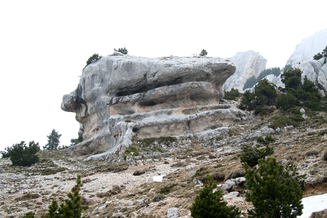
towards a very characteristic rock formation. This mushroom shaped rock immeditaely catches your
attention. It has a name plaque, La Folatiere, at elevation 1743 meter.
From this rock, there are two different routes to the summit.
The easiest and most direct route follows the smaller trail
up on the left side of La Folatiere, while an alternative trail traverses right (south) of this rock.
Both trails are described, it is recommended to try both, by descending on the alternative trail. In early
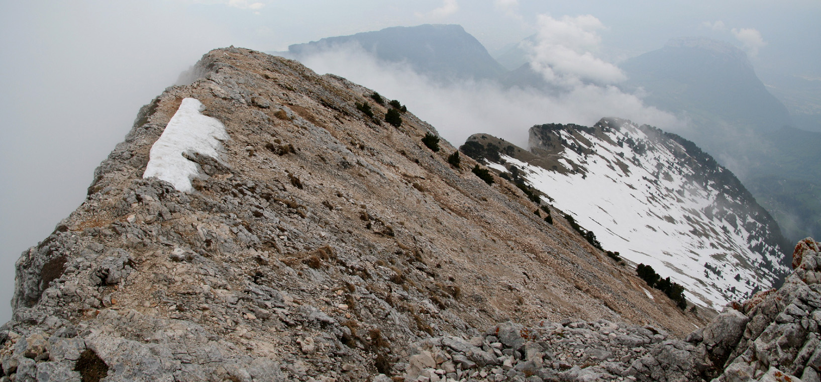
May, the direct route had significantly less snow than the alternative, south loop trail. A, Direct route:
Hike on the left (north) side of La Folatiere, and continue uphill. Above you, there is an obvious
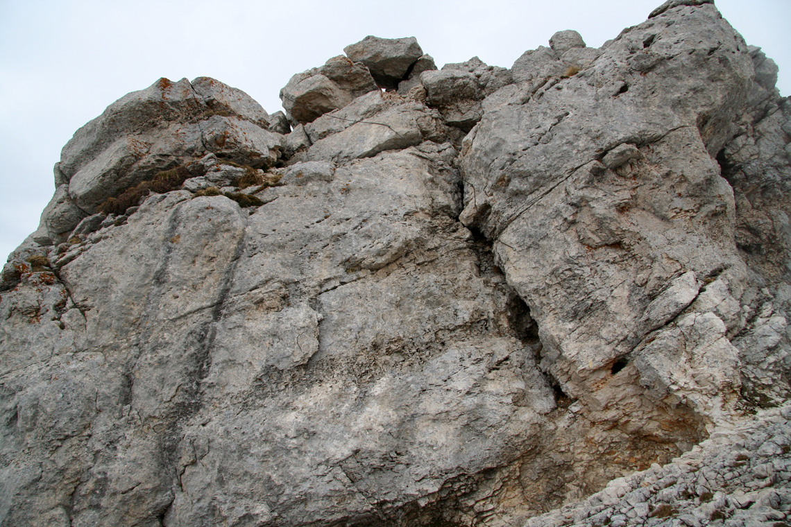
gully with big rock formations on either side. The trail zig-zags up towards its entrance. It may appear to
be a dead end, however as it turns out, provides an excellent passage to the terrain above the cliffs. Just
below the entrance is the steepest slope of this route and in early spring there may be a patch of snow here.
(An ice axe may be useful if this snow is icy). Once into the gully, the terrain is easy as the gully bends
left and exits on the upper slope of the mountain (1932m, N45:17.296, E005:47.123).
From here, the trail zig-zags on an easy slope directly
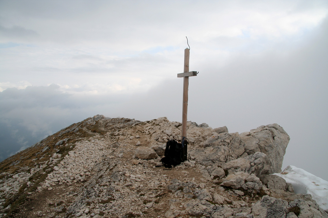
to the summit cross that can be seen above.
I have assigned a (YDS) class 2 to this route because of the short segment just below the gully that was
covered by snow when I climbed the mountain. In summer, the difficulty may indeed be closer to a (YDS) class 1 trail. B, South loop:
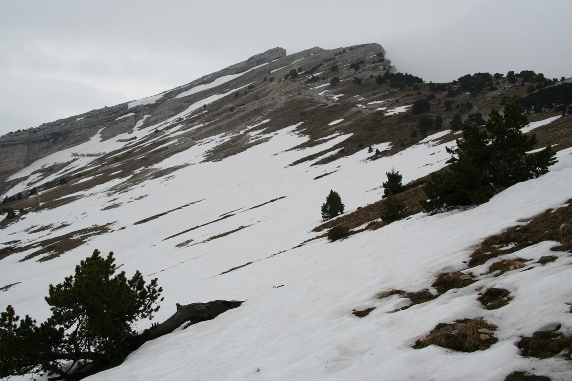
From the mushroom rock named La Folatiere, traverse right (south) on a pretty big trail. This trail climbs
among big trees before getting out on a large, gentle slope. In early spring, this entire section may be
covered by snow. Continue a gentle climb across the slope until the trail curves left and reaches the crest
of the ridge. This is the south ridge of Chamechaude. The opposite (east) face is much steeper and requires
climbing. Just as the trail hits the ridge proper, a cable assisted route
(Via Ferrata)
comes up in a narrow gully on the steep
side. This route is called Breche Paul-Arnoud.
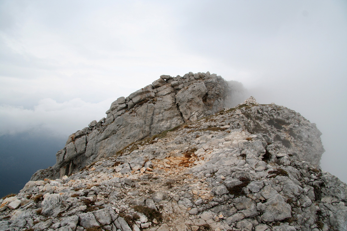
The trail now continues up along the crest of the mountain. There are no difficulties except for a single
short step in order to climb a cliff band that otherwise blocks access to the summit ridge. This step is
climbed along a distinct crack and there is a cable on the upper part of the step.
This is a short (YDS) class 3 section.
From the top of this step, the summit is just an easy stroll along the top ridge.
This trail is (YDS) class 1 the entire way except for the short climb described above. Comments:
I was headed for a meeting in Barcelona starting on a Monday and planned to use the weekend to see if climbs
of Chamechaude and Puy de Sancy were possible in early May.
I drove from Lyon early Saturday morning and started hiking from Col de Porte at 0830, making the summit
after 1.5 hours at 1000. There was not a single footprint in the snow below the key upper gully and I had the
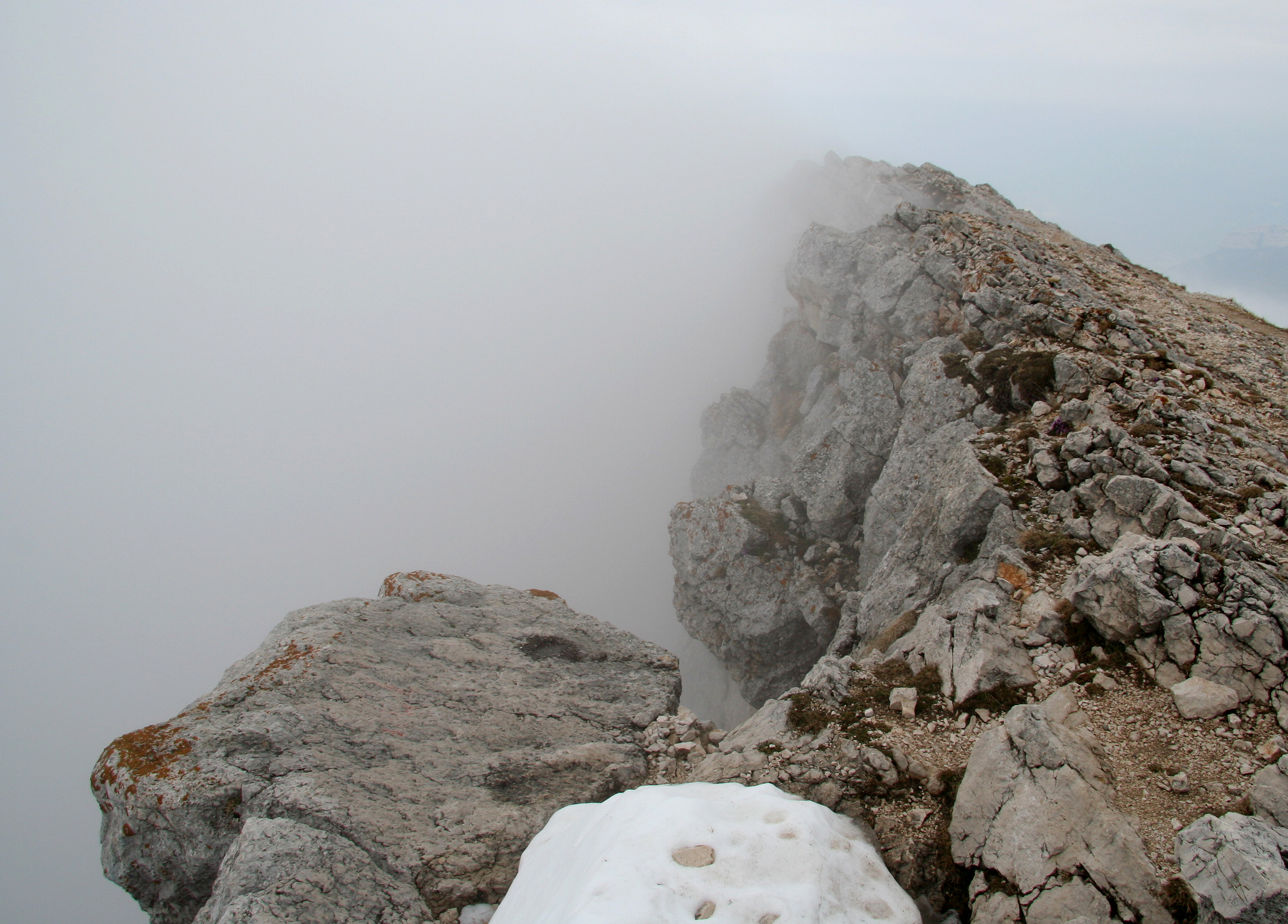
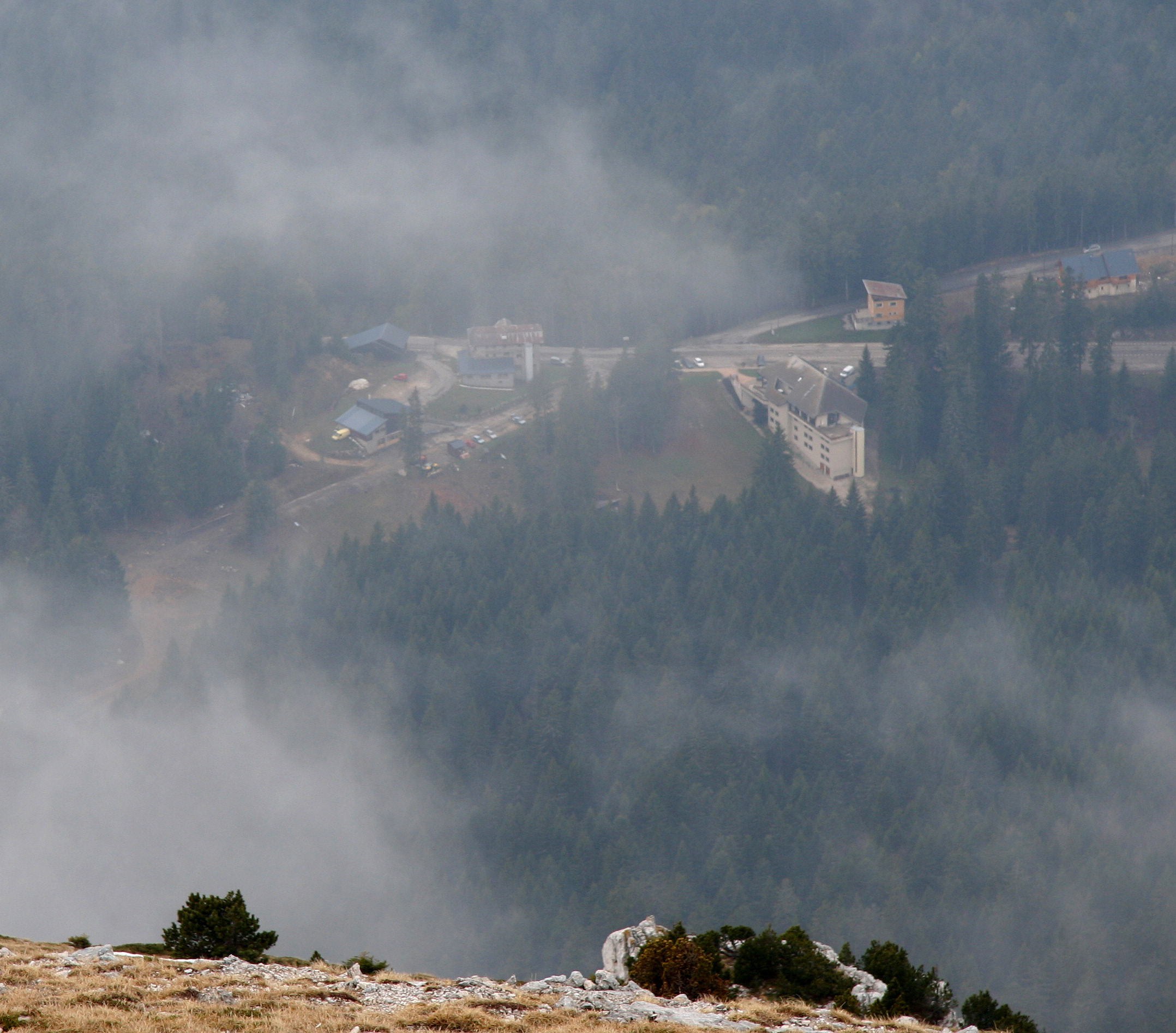
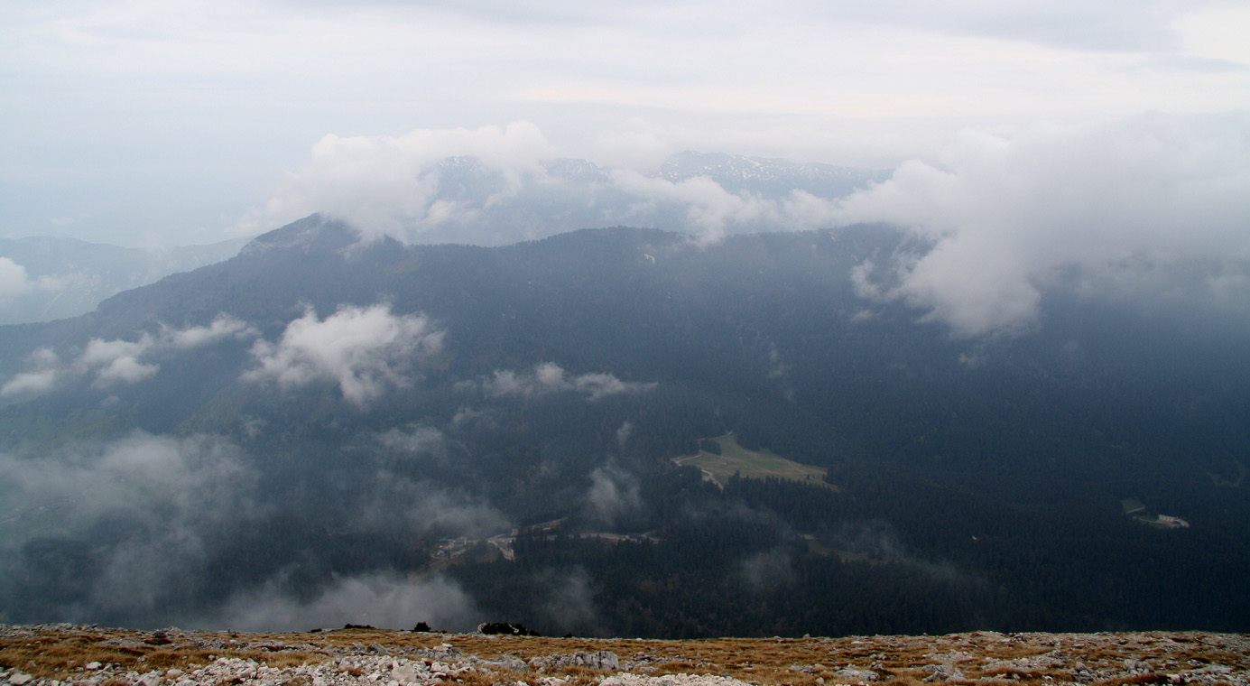
mountain for myself. Unfortunately, drifting clouds and fog prevented a really nice view. I could see back down
to Col de Porte, but nothing down on the steeper side. I made a 15 minute rest, then continued to explore the
south ridge route on my descent. This route had considerably more snow and the trail vanished as soon as I left
the ridge. Voices alerted me to look down Breche Paul-Arnoud and welcome two climbers completing their route, I
assured them that the remaining section was short and easy. Further down, near the small shelter, I met a larger
group heading uphill. They had just crossed the snow near the private shelter and worried about
the conditions higher up.
I therefore recommended them to take the
direct route where my solid footsteps should provide safe passage across the single patch of moderately
steep snow that remained on the route. I reached the car at 1100, a descent of about 45 minutes.
Ample time to drive towards the base of my next goal, Puy de Sancy.
Resources:
Images
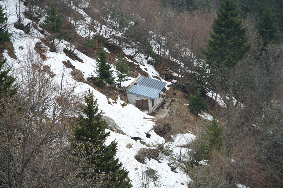
The small shelter, seen while ascending.
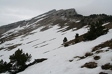
The ascent route had two patches of snow, here and just below the upper gully.
La Folatiere, a mushroom shaped rock at elevation 1743m, where the
trail forks.