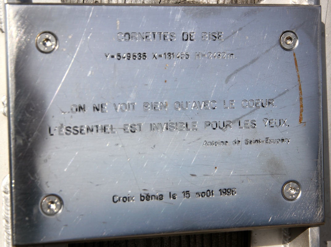
Location: North N46.33261, East 006.78460 (GPS on the summit)
Difficulty: YDS class 1
Climbed September 22. 2013
Information:
How to get there:
This mountain is located near Geneve. From Geneve, drive east on the south
side of the big lake to the city Thonon-les-Bains.
Continue southeast (along D902) , up the valley, then fork left on DD22 to reach the
village of Abondance. From here, continue to the next village named La Chapelle-d'Abondance.
Find a road that goes left in the center of La Chapelle-d'Abondance, (when coming from Thonon).
There may be a sign for Chevenne. (There are several roads that merge higher up.) Drive about
2 kilometer up the valley, ignore side roads. You will locate a big parking area and signs that
are typical for a trailhead. The forest/farm roads that continue have signs telling that one
should not drive any further. This location is N46.31017, E006.78609, elevation about 1235 meter.
Route description:
Continue along the forest road that runs parallel (on the right side of) the small creek.
Ignore trails that fork off. The road runs
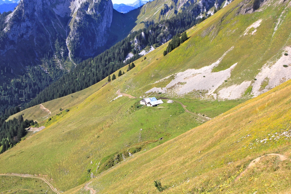
steadily uphill to a summer farm located on the left
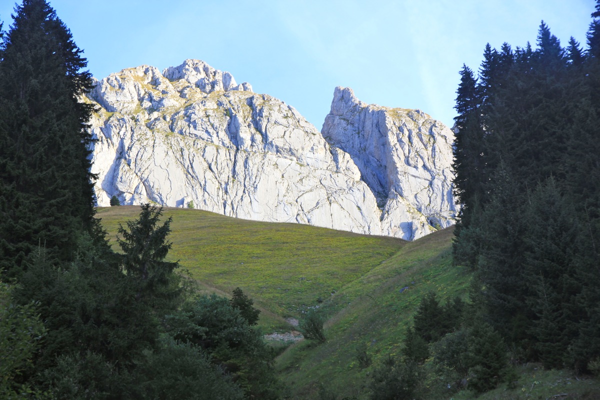
side of the narrow valley. From here, a signed trail climbs the short reamining distance to
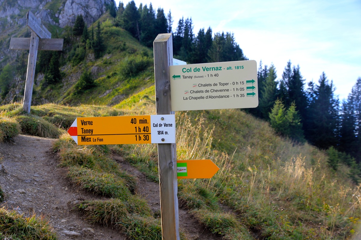
Col de la Vernaz at elevation 1815 meter.
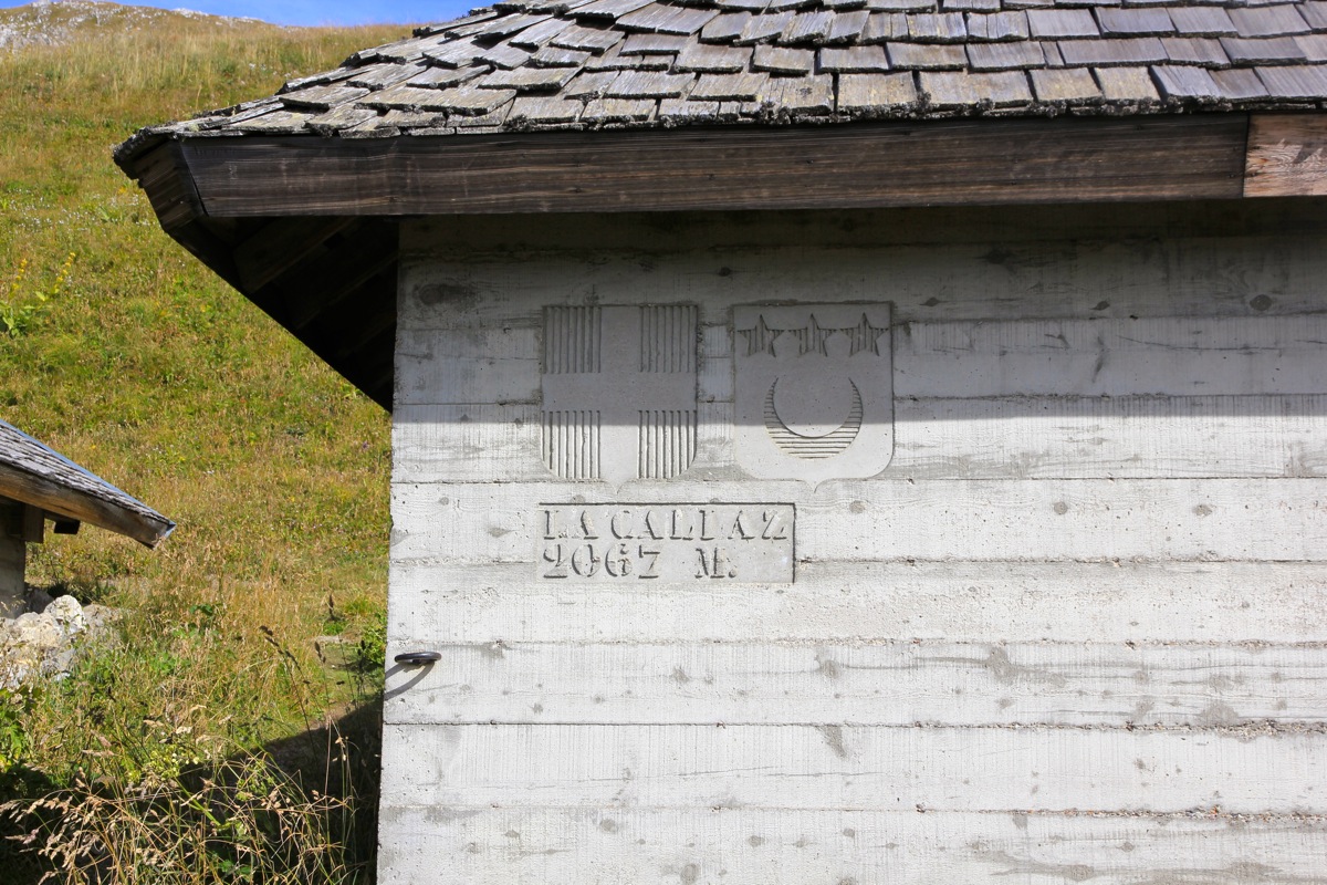
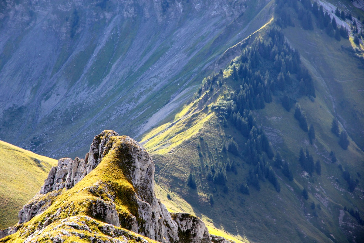
Turn left and follow the good zig-zag trail that
serves the farm house la Calaz at 2067 meter.
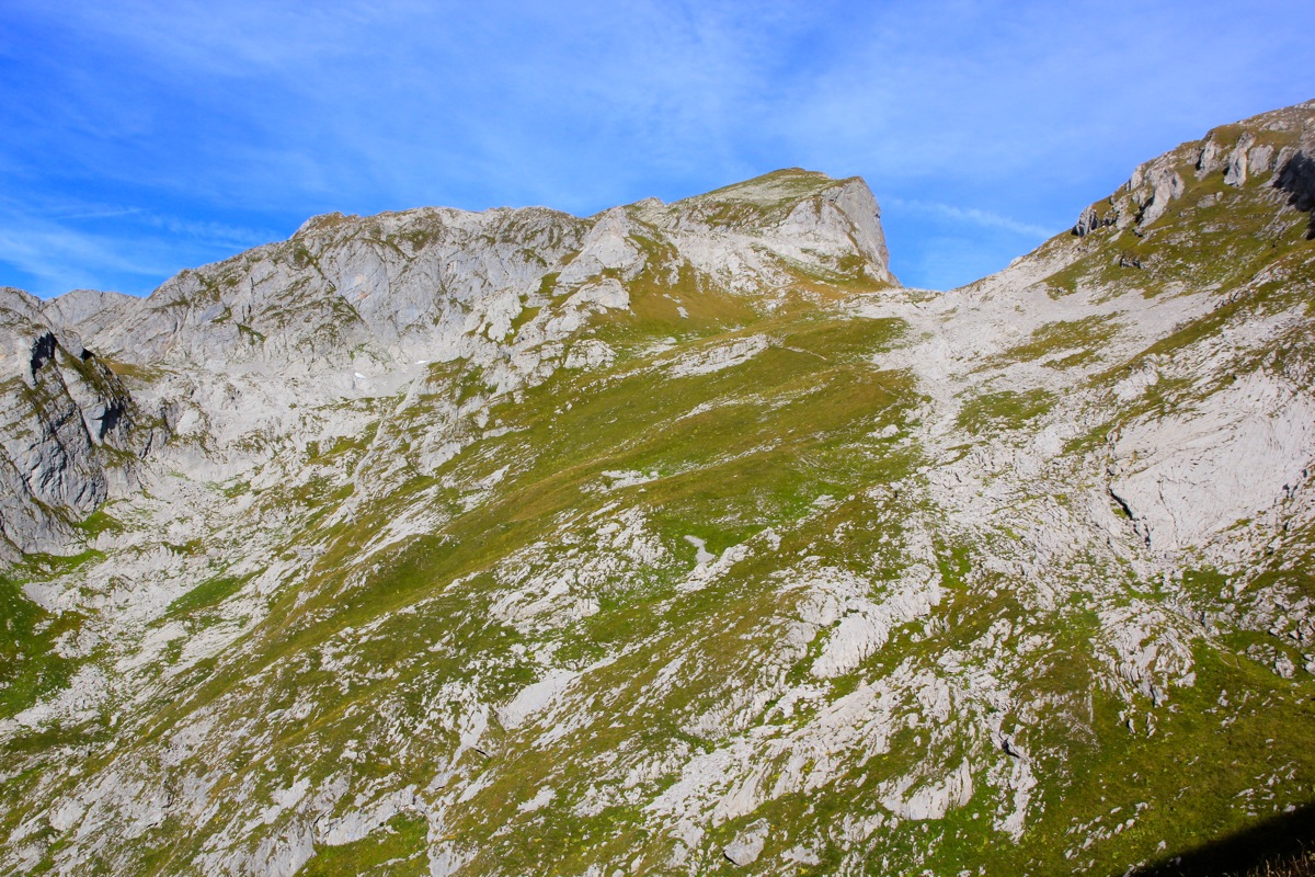
From here, the trail crosses more
left to gain the upper part of the mountain.
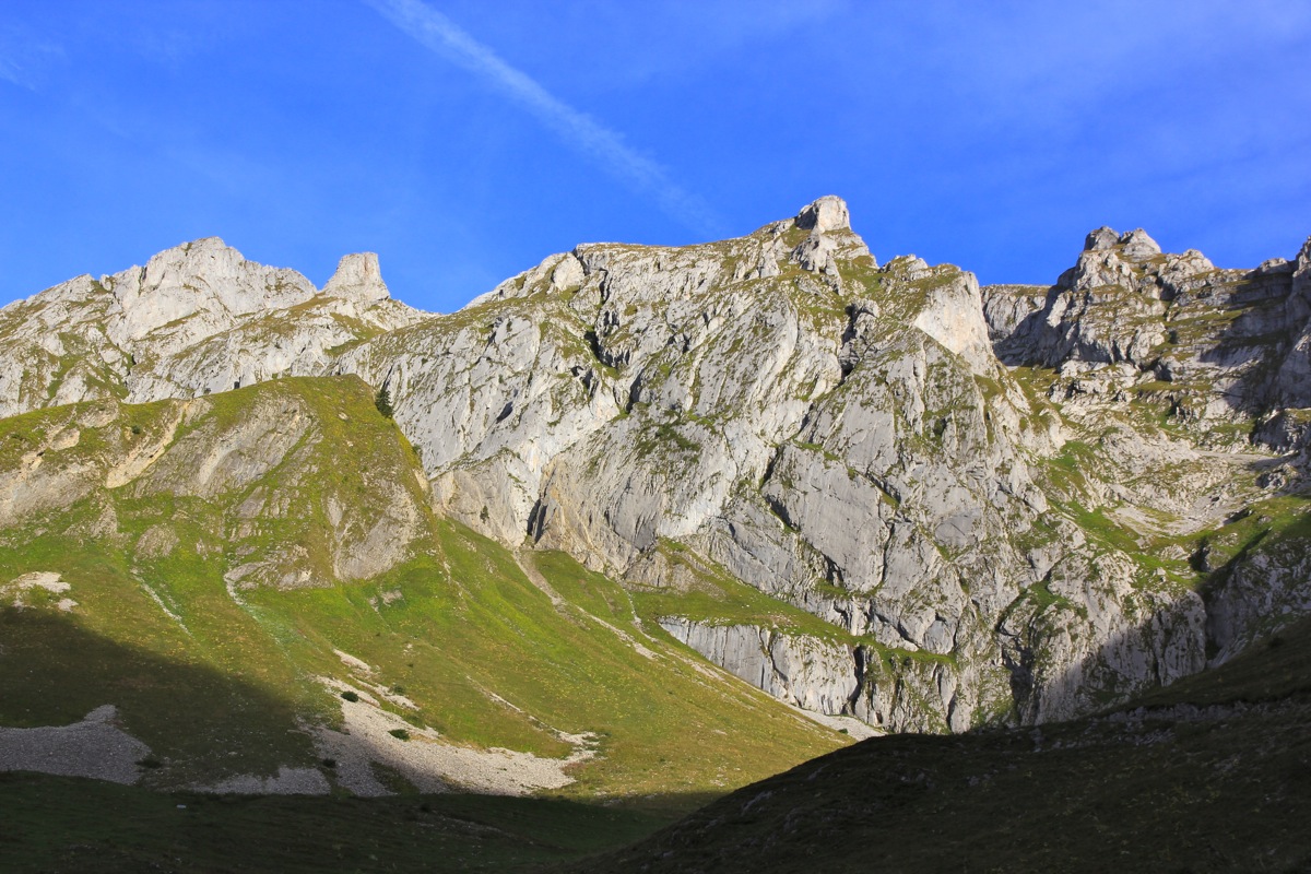
The top is easy
to recognize and the trail runs slightly
steeper up the final slope below the summit.
Comments:
After my very nice climb of Haute Cime, it was time for a little celebration,
all ultra prominent mountains (except a hill in Crimea) had been climbed.
I drove across from Switzerland to France and found a nice room with good service
in hotel L'Alpage in the small town La Chapelle d'Abondance.
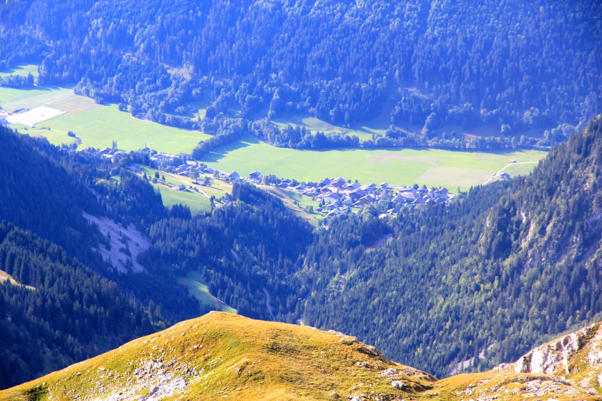
I had breakfast at 0730 and were at the trailhead shortly before 0800. The day was good,
but it would be a while before this narrow valley got any sunshine. The sun was already hitting
the steep cliffs high above me on my left.
I had a pretty good pace and arrived at the Col de la Vernaz
(elevation 1815 m) after 50 minutes. From here, I had sunshine
while hiking on a good trail in
zig-zags to the highest farm building in the district, ferme de la Calaz, at 2067 meter. The good trail
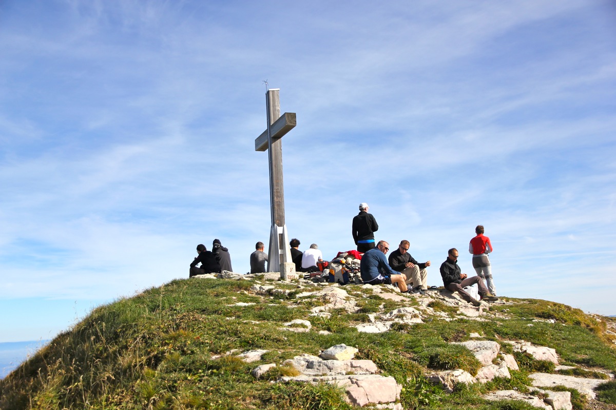
continued and I was soon at the summit.
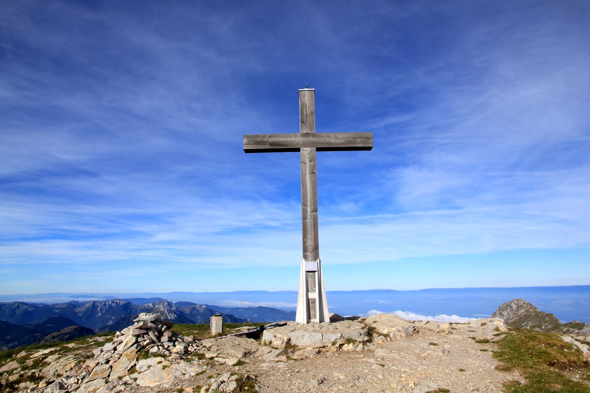
The time was 0950 and I had the summit all by myself.
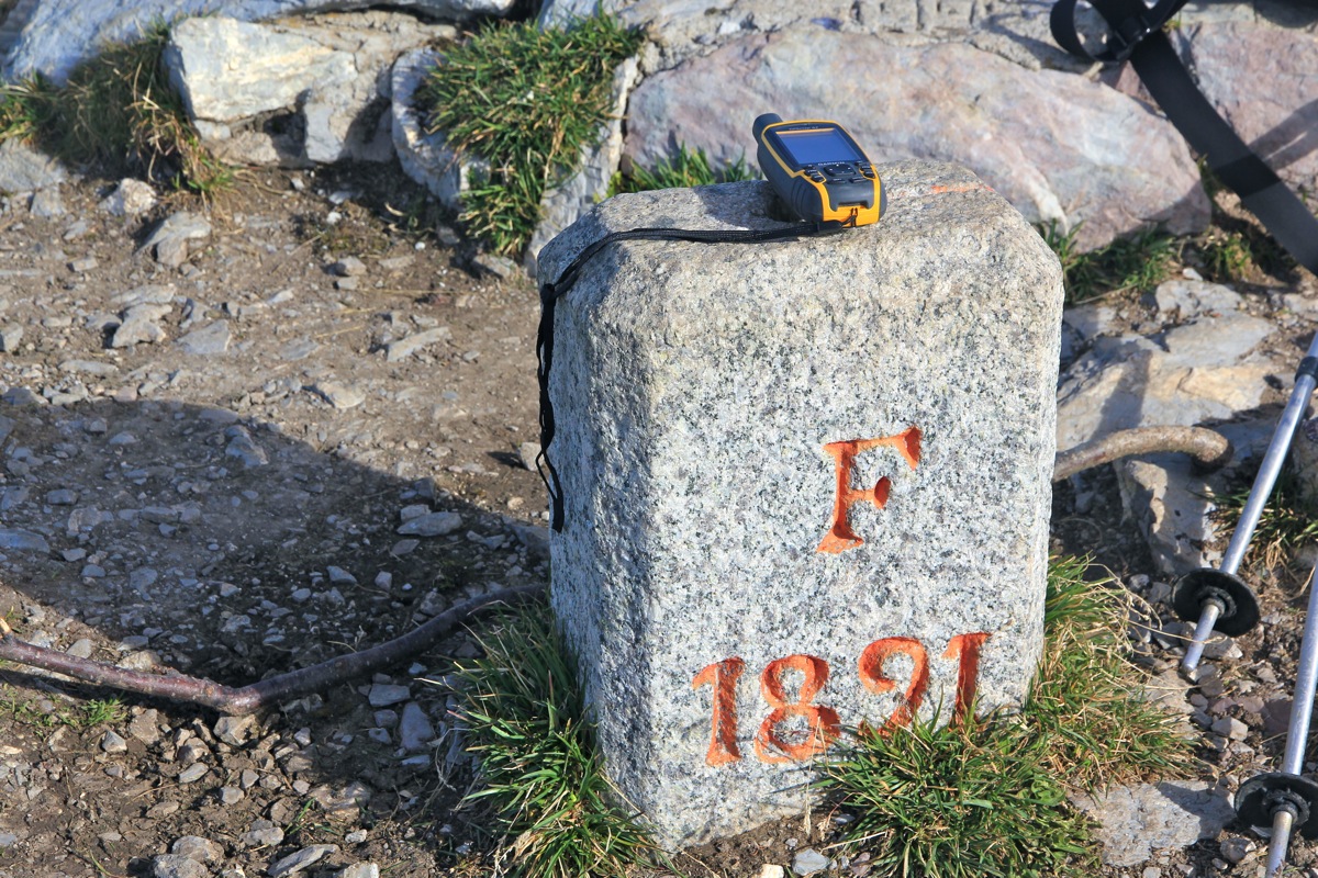
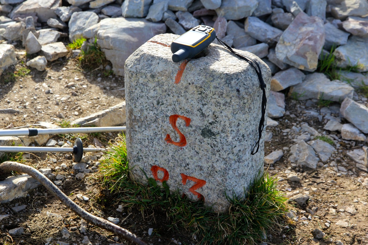
The border between France
and Switzerland runs
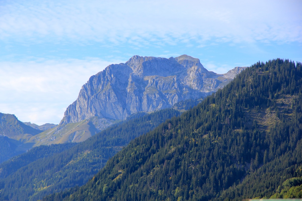
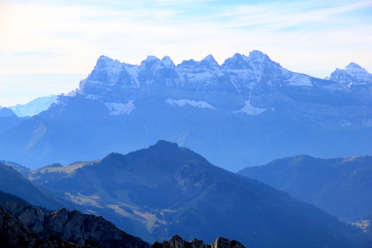
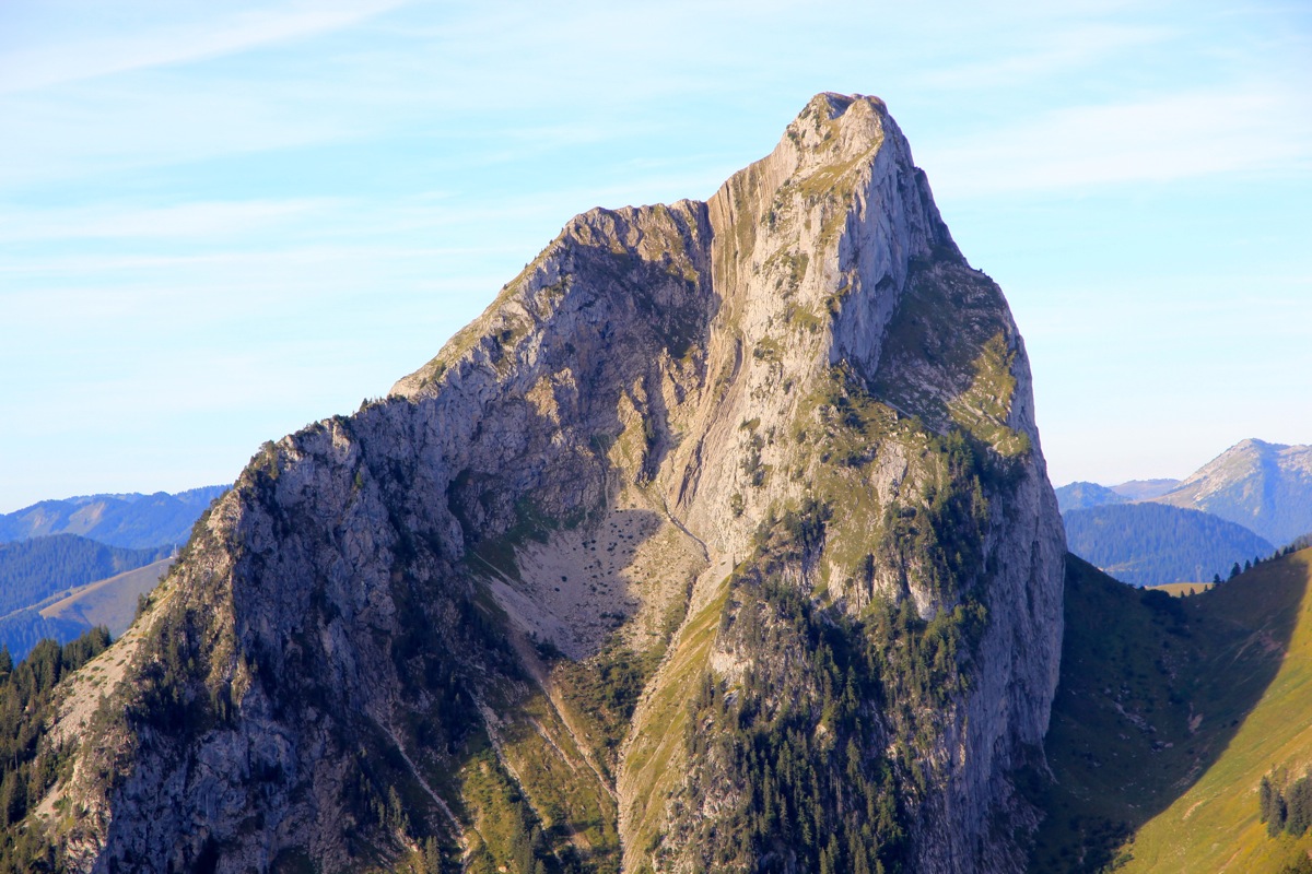
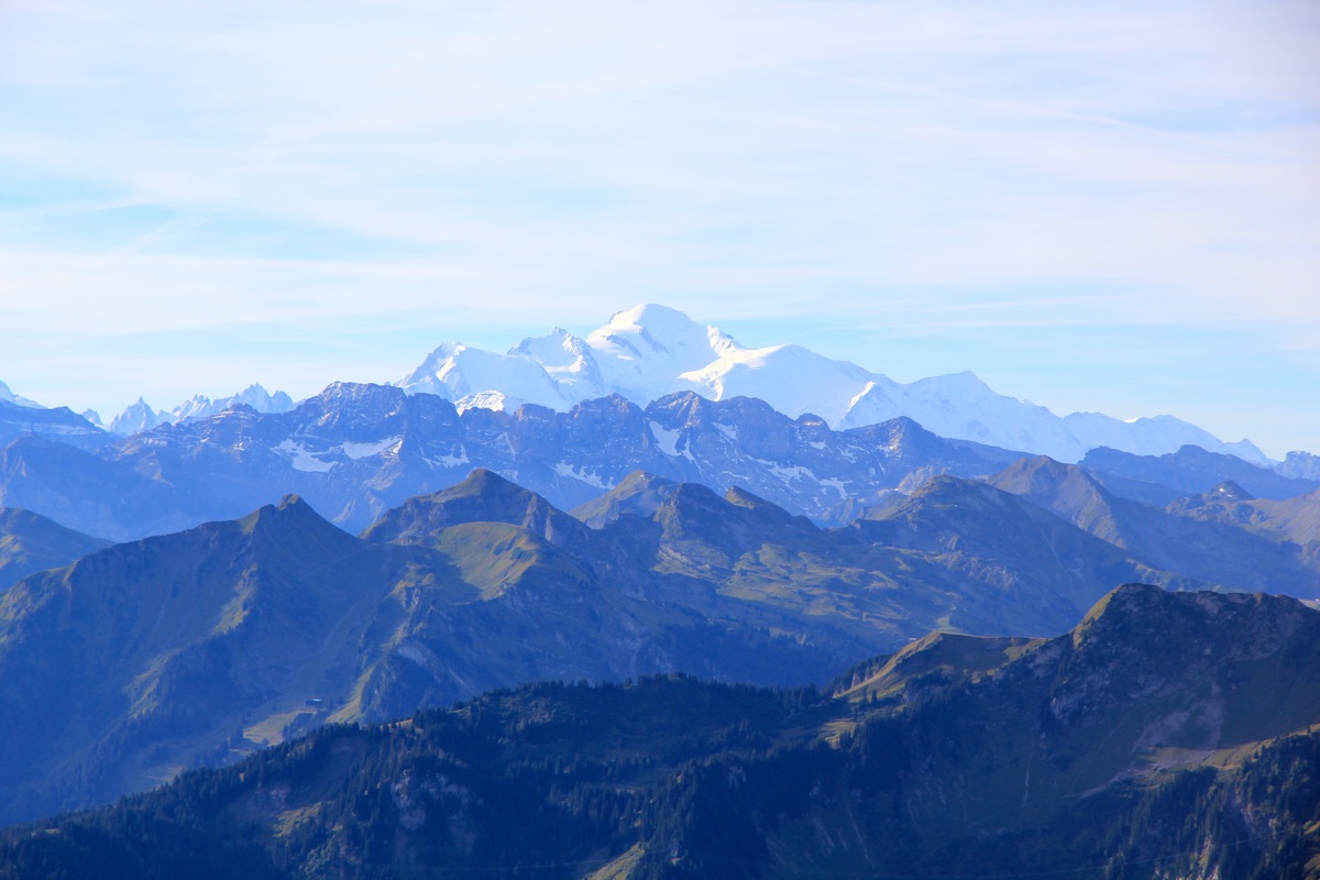
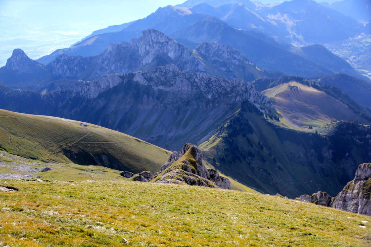
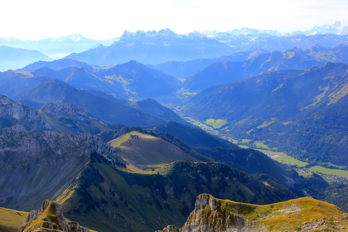
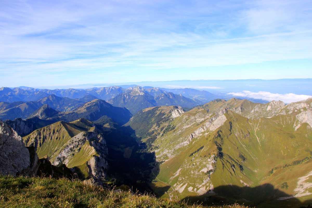
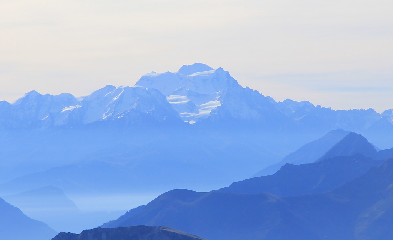
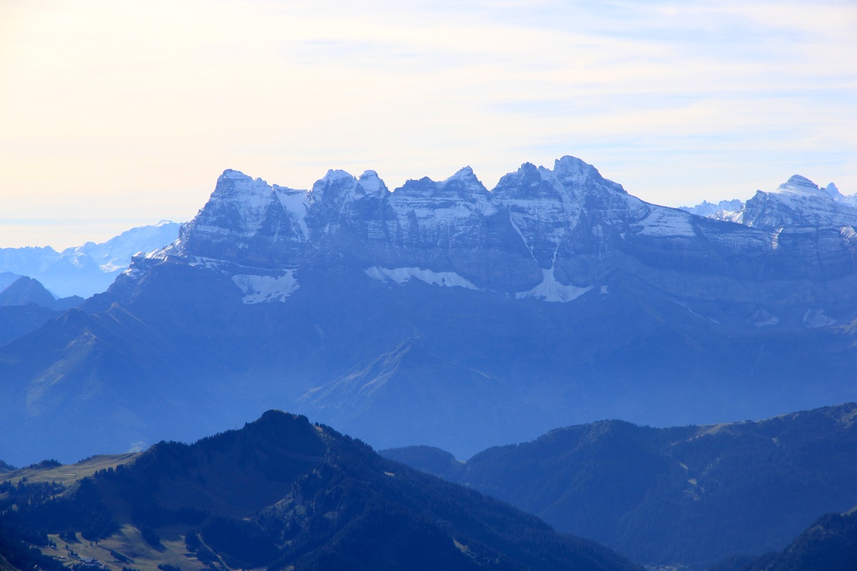
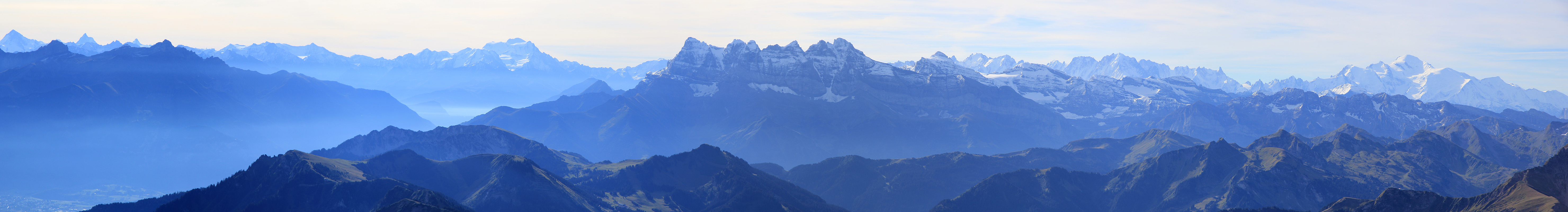
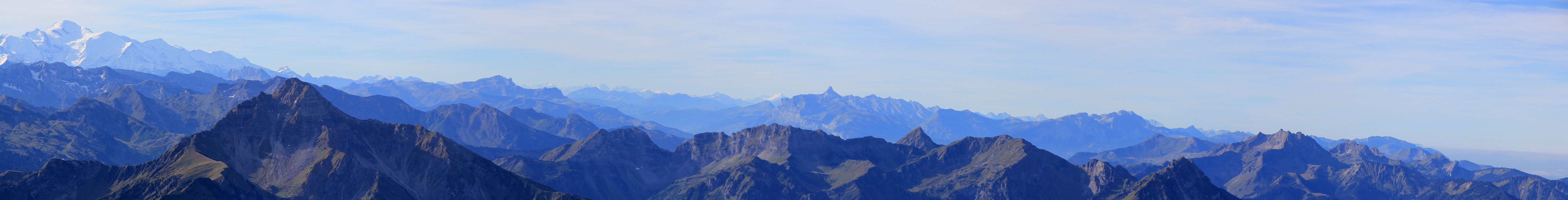
directly across the summit. There is good view towards
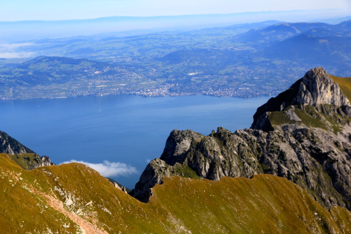
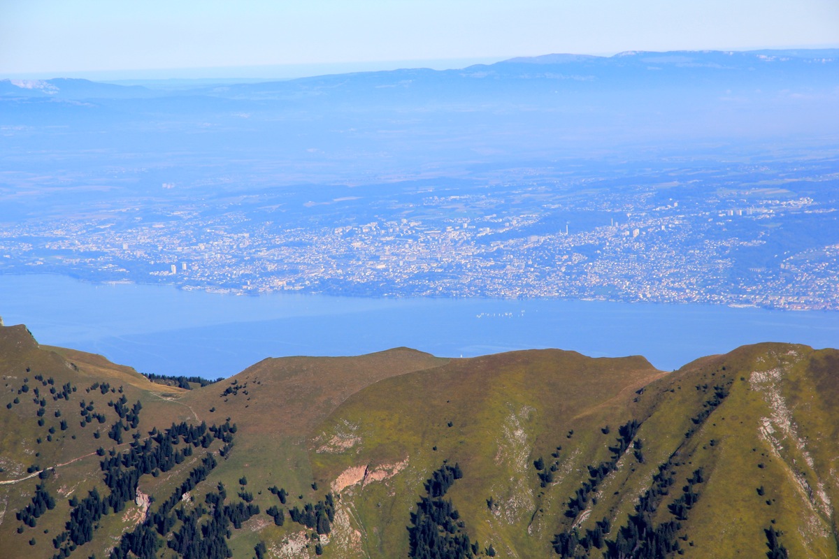
the higher Alps in the south as well as a nice view across to Lausanne and to the big Geneva lake.
However, this peak is a popular hiking goal,
only 30 minutes later and the summit was getting crowded.
I stayed 40 minutes at the top, then descended back down to my car in 1:30.
A nice weekend had come to an end, I spent almost one hour repacking my gear and changing into
reasonably clean travel clothes.
