Mount Baden-Powell
- Mount Baden-Powell
- 2865 m
- Primary factor 859 m
- California, USA.
- Location: North 34.35852, West 117.76464 (GPS on the summit.)
- Difficulty: YDS class 1
- Climbed September 16. 2018
Mount Baden-Powell
|
|
How to get there:
Route description:
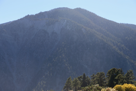
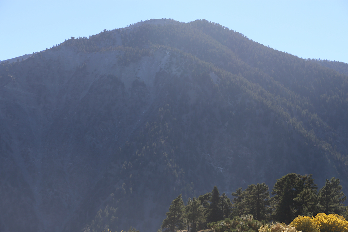
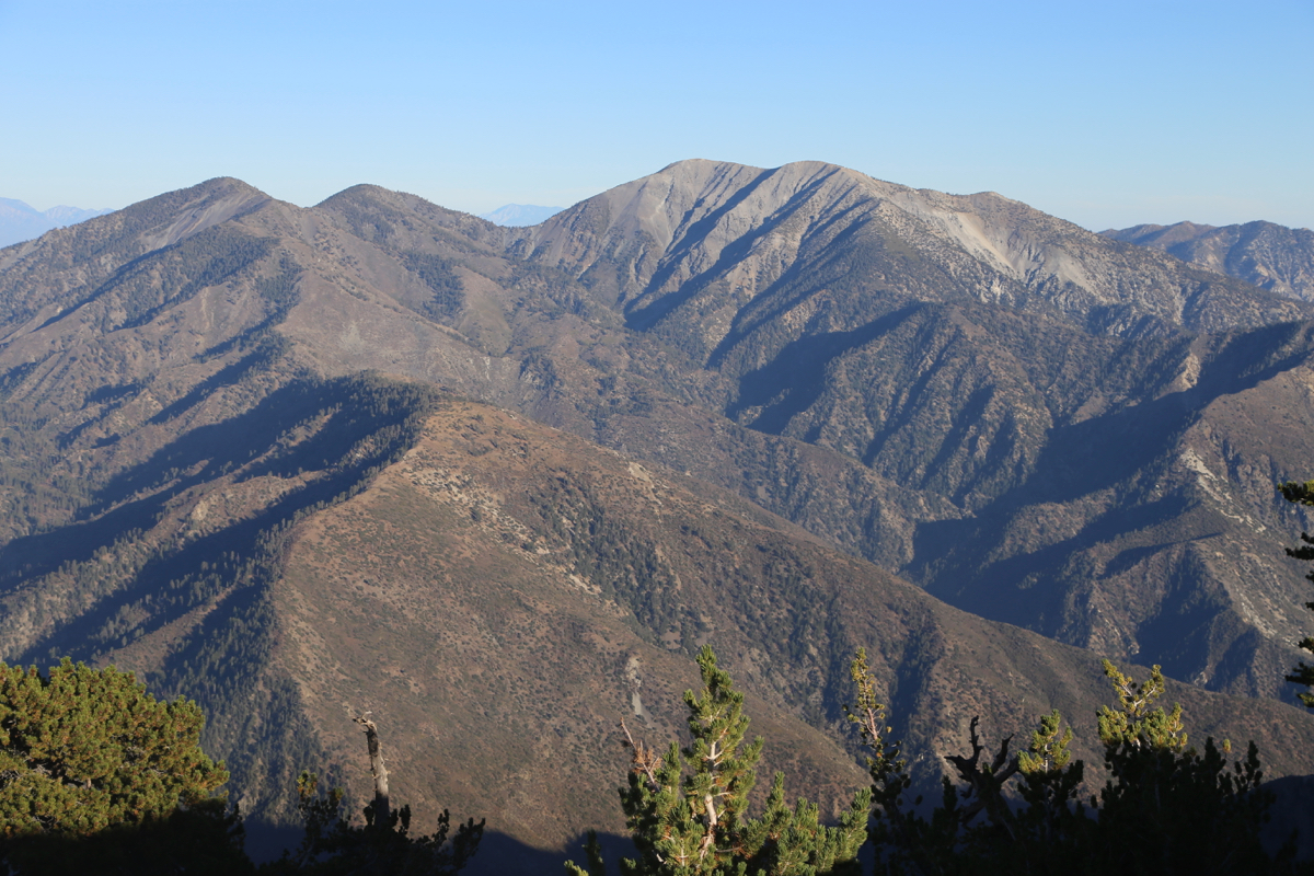
From the trailhead, a good trail starts out going right. This trail
zig-zags up the hillside (with 41 hairpin turns) to gain
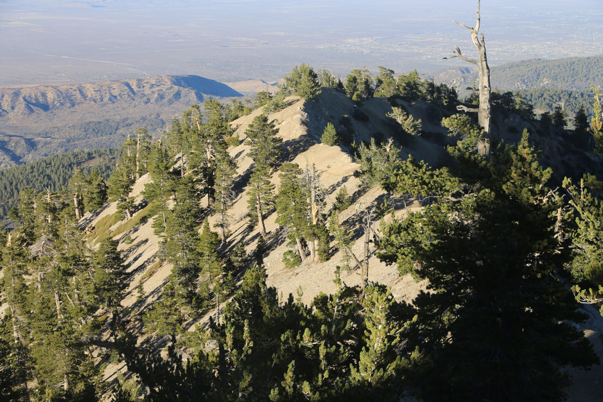
a short ridge that
connects to a nicely rounded summit.
Comments:
I arrived at the parking lot around 1630 after a long drive
across from Piute Peak near Bakersfield.
The last few people that hjad hiked this mountain were just returning
to their cars. Unfortunately, (typical for the US), there was a big
sign at the parking lot saying that one could only park with a Adventure
Pass (USD 30) on display in the car. Obviously, I could not get
this today, thus I pulled out of the parking and parked my car on the
opposite side of the Hwy. Really silly, but I assumed it would work.
I decided that this hike should be doable before the end of the
day, a sign announced that the distance to the summit would be
4 miles. I knew that the vertical gain would be 860 meter.
I settled on a good, but sustainable pace, no stops along the way and
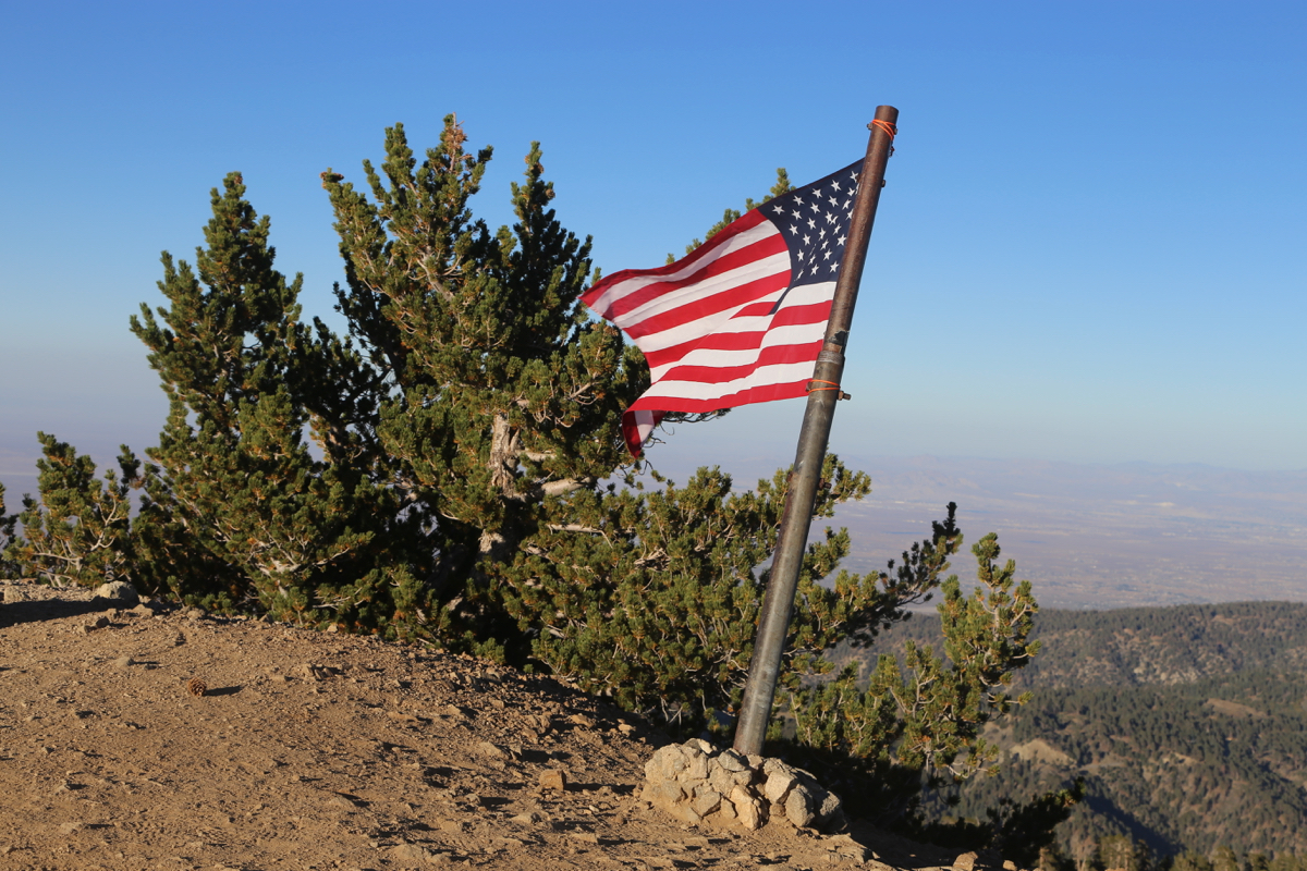
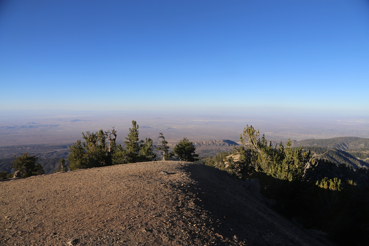
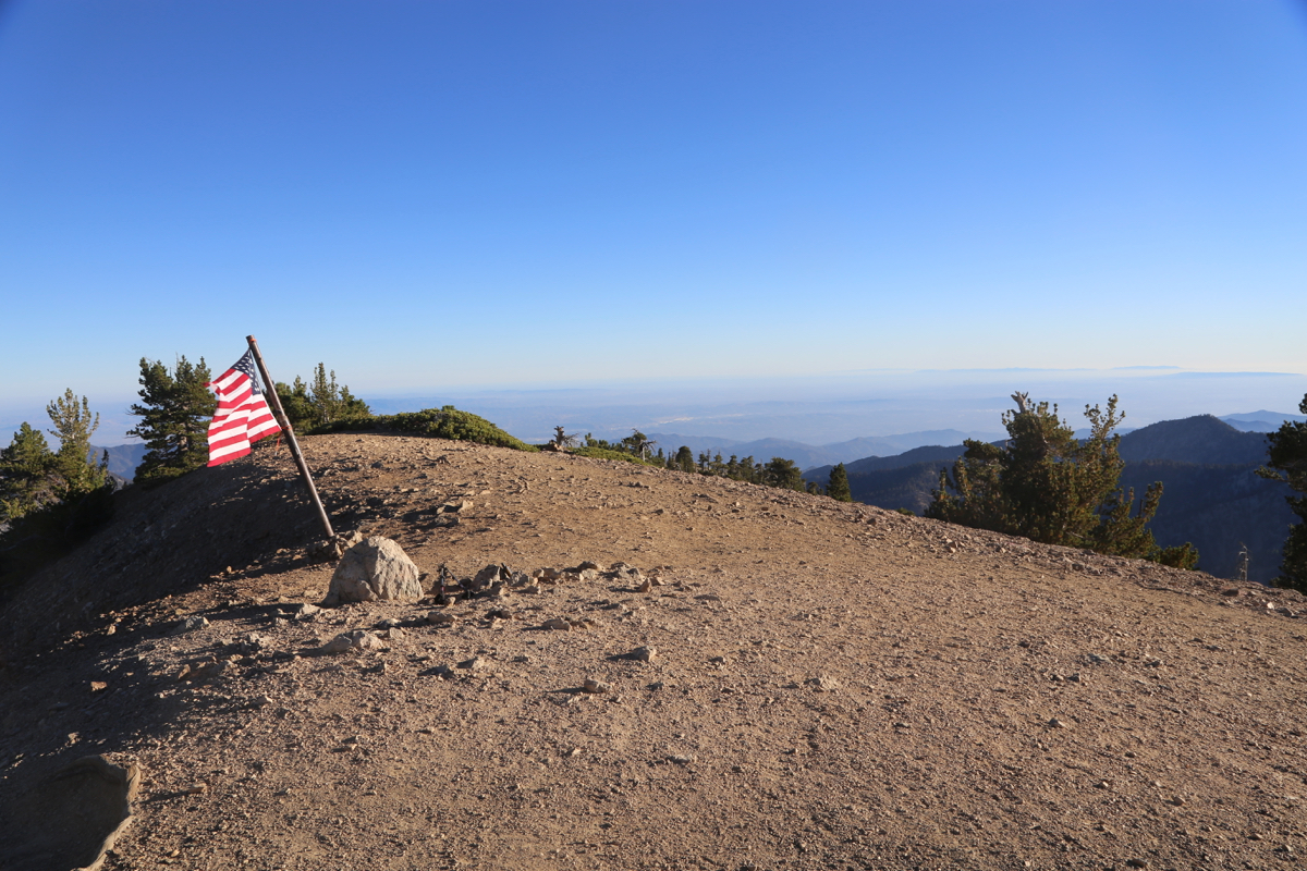
arrived at the summit
at 1745, so 1:15 up, quite acceptable.
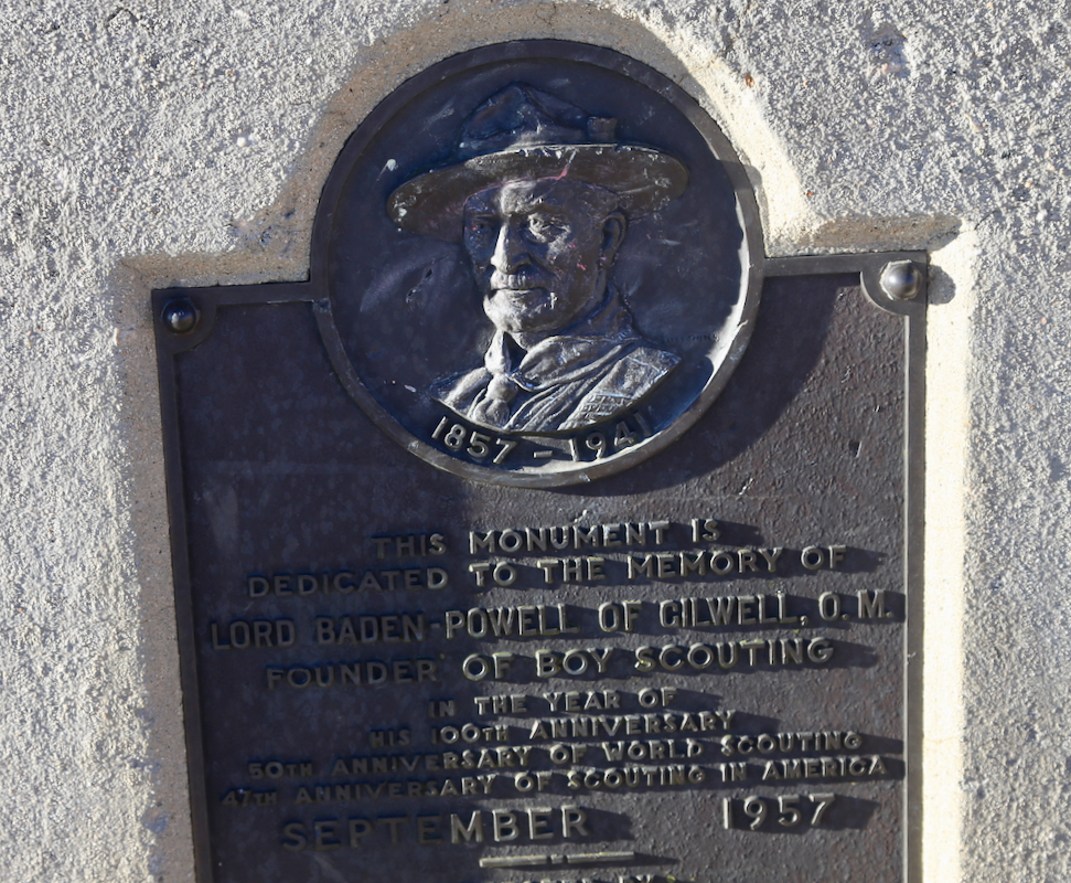
It was quite a nice early evening. I stayed around for 15 minutes,
taking pictures and looking the Baden-Powell memorial.
Leaving at 1800, I tried a slow but easy jogging and arrived back down
by 1900. It was high time to figure out how to drive back to my apartment
in Westwood, LA.