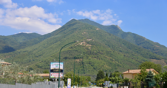
Monte Terminio
- Monte Terminio
- 1806 m
- Primary factor 966 m
- Italy
- Location: North 40.83874, East 014.93830 (GPS at the summit)
- Difficulty: YDS class 1
- Climbed July 30. 2017.
Monte Terminio
|
|
How to get there:
The key road is highway SP574 running high on the east side of this mountain.
This is the west side of the valley between Monte Cervialto and Monte Terminio.
It is an easy drive from near the village of Bagnoli, see more details under
Monte Cervialto.
When driving on SP574, a side road forks off at N40.82841, E014.96040. Take this
road to its very end where there is a pretty large area that is used for BBQ/picnic.
Find parking here, near location N40.82480, E014.93903, with an elevation of
about 1310 meter.
Route description:
The short version is: "Follow the fence".
From the picnic/BBQ area, head directly uphill. Stay right of a drainage (if you see one).
If you see a fence that runs uphill, just follow it until you hit a forest road. You may also just
run into the forest road. Once on the forest road, follow it as it rises very gently in some long
switch-backs. Notice that the fence keeps running along the side of the road.
Eventually, just before a small clearing, the fence leaves the road and heads uphill. Follow the
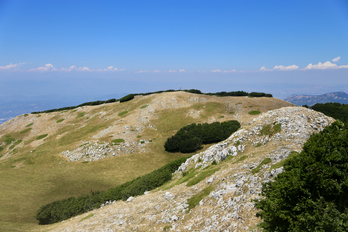
trail that runs next to the fence. When you reach the main crest, the trail/route turns left and
climbs a bit. Soon the trail that seems to take most traffic heads slightly
right and traverses while climbing gently. This trail splits into several trail higher up. Pick one
of the higher alternatives. You will regain the ridge and what remains are just a few meter.
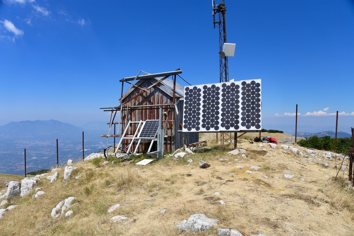
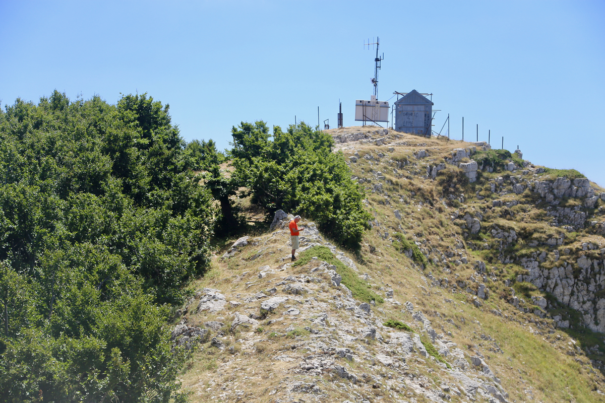
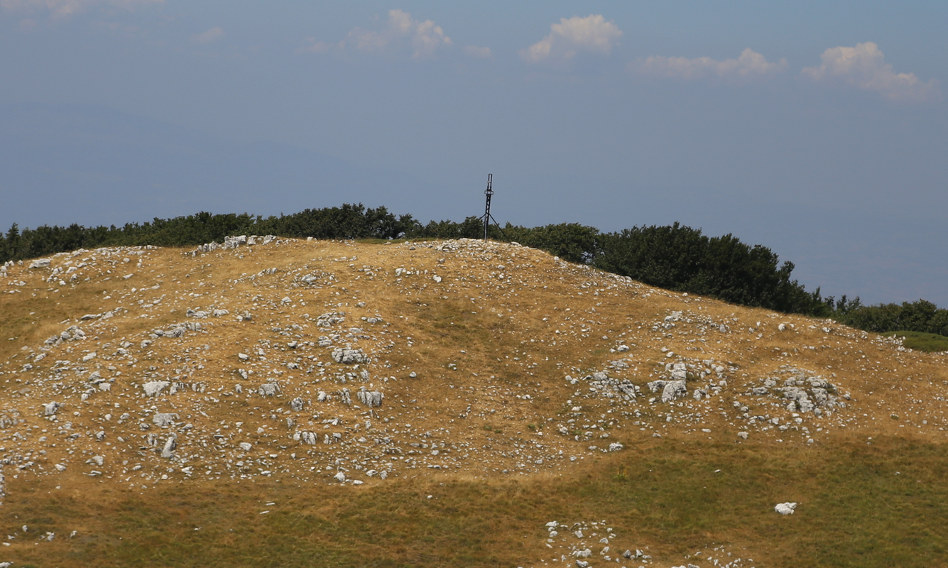
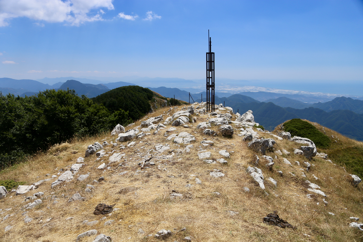
The summit is home for an antenna station.
Comments:
I had already been on Cervialto, but figured that there was time for a second ascent before
returning to our base at Positano. In fact, Positano was not ideal as a base camp,
expect for its local peak. The Amalfi coast from Positano is
only about 35 kilometer, but it takes anywhere from a full hour to
1.5 hours to drive.
Driving across to Terminio was straightforward, the final side-road
led me to a pretty large picnic area where lots of Italians had or prepared) BBQ dinner.
Leaving at 1220,
I ascended directly from the picnic area and soon ran into the fence that would subsequently
join me up at the forest road.
I made good progress up the road and smiled when observing that where the road and the fence
went different ways, one should continue to follow the fence. I reached the main crest, continued
on the trail that ascended gently well below the top ridge
and arrived at the summit 1320.
I observed that the cross was located quite far
away and at a lower point. After walking around a bit and
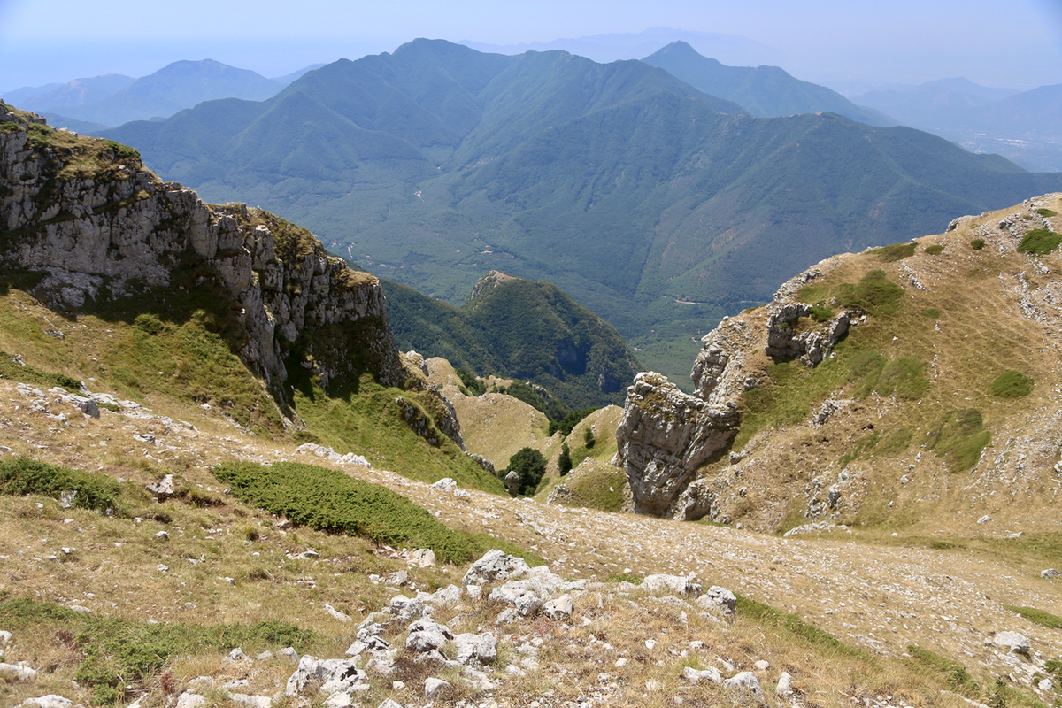
looking at the views,
I left at 1335. The return was straightforward, 35 minutes later back at the car
where local people were busy with the picnic.