Location: North 40.27401, East 019.61820 (GPS on the summit)
Albania
Climbed July 22, 2013
Difficulty: (YDS) class 2.
Information:
How to get there:
This mountain is located south of Vlore, near the coast. Drive south along the Hwy. from Vlore.
The road leaves the coast near a small town called Oricum, as you enter Oricum, you drive across a bridge,
measure from this point. The road does not enter Oricum really, since it bends left just after the bridge and heads
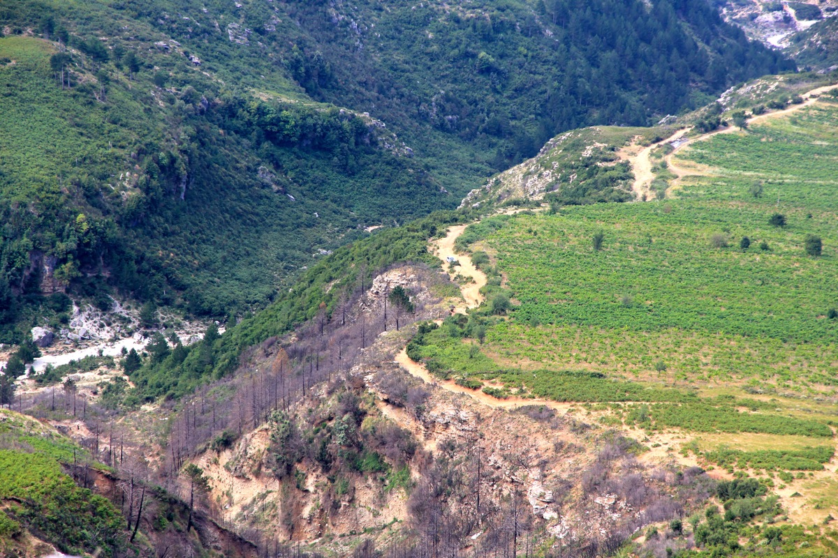
inland. At kilometer 12.3, you are at the signed turn-off to the small village named Dukat. Turn left here, towards Dukat.
At kilometer 14.6, you are in Dukat, the place has a small restaurant on your right hand side. Continue through town, the road
curves left across a bridge at kilometer 14.7 and turns into a dirt road here. This road is borderline 4WD (2013), you may
consider to hike it. Drive up the hill and
stay right (straight) at kilometer 15.4. At kilometer 17.5 there is a fork, the road to the highest farm in the valley
most likely goes right here and crosses the creek. I went left and continued to kilometer 17.7 where I parked. This trailhead
is at location N40.26542, E019.57936, elevation about 600 meter.
Route description: Note: There may be a better trail to this summit if you drive to the upper farm and ask there.
However, a better trail may also imply shepherds and sheep and therefore dog issues. My route avoided contact with
any dogs, this may also depend on where the sheep are, so no guarantee!
See this map for an outline of my route.
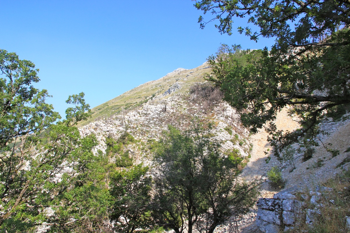
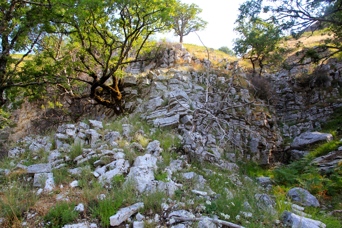
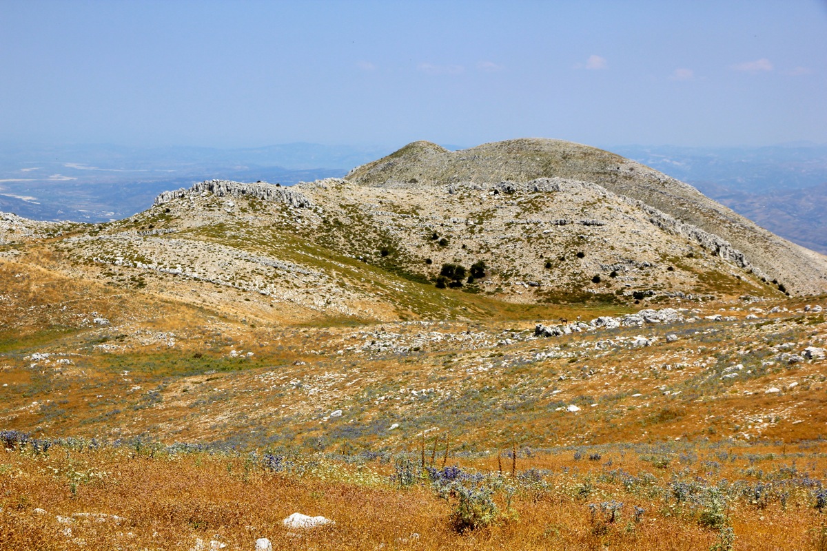
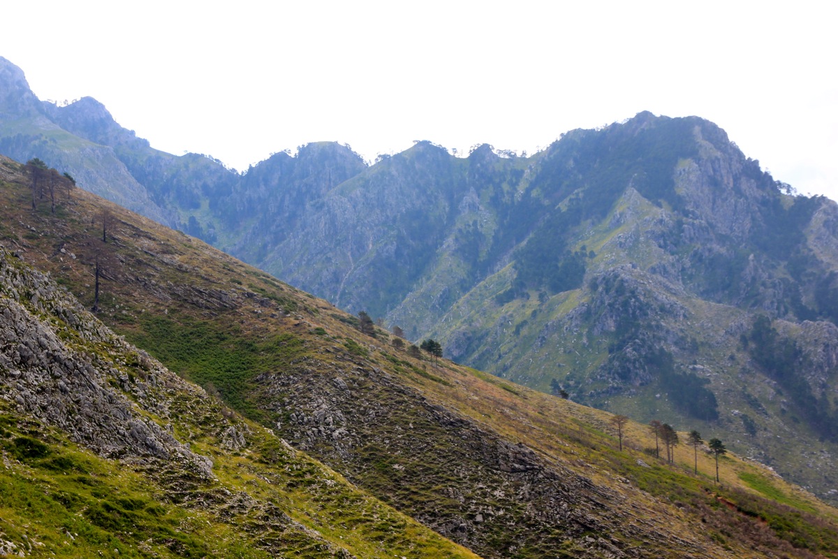
Continue up what remains of the road and head for the rocky ridge right up front. The trail descends slightly and crosses
right in order to access the ridge on its right side. Ascend this rocky ridge, it has sort of two stages.
There are all sorts of small trails and the terrain is nice for walking. Higher up, the slope comes down in several
ribs with mostly scree
and some vegetation.
Just pick your way in zig-zags uphill, perhaps traverse a bit left
when this looks reasonable. The terrain is not very bad, but the slope keeps going for a while. Continue uphill
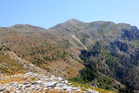
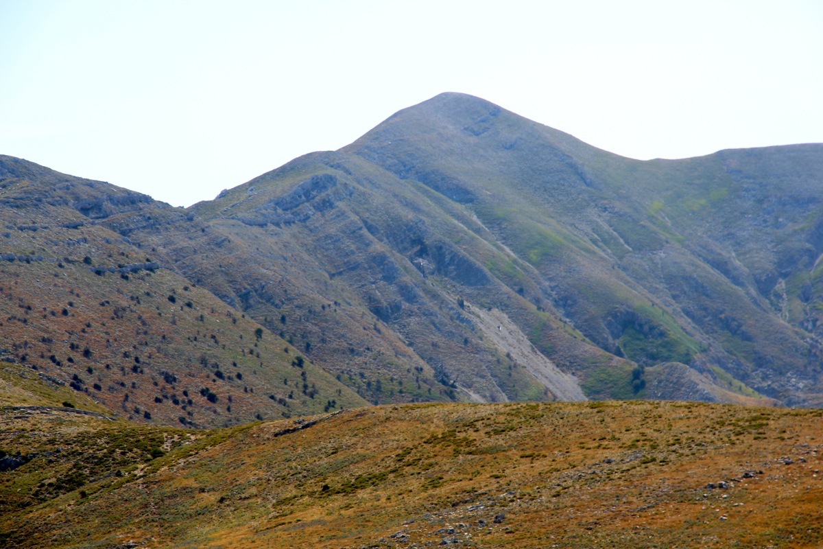
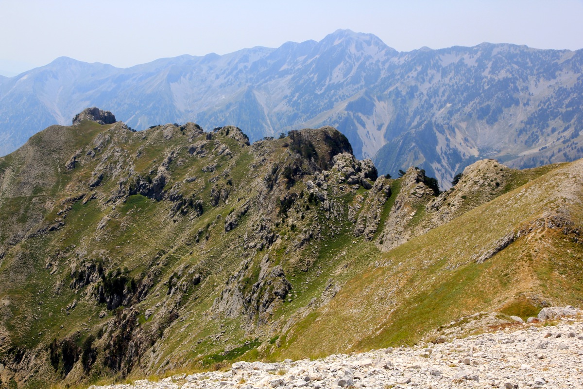
until you reach the main crest.
You will now see the summit and that you have quite some way to go.
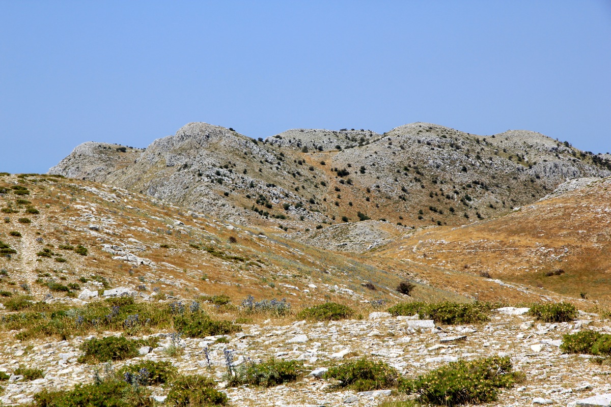
Here, the terrain changes completely (for the better!) and
there are nice, small basins with grass and water on the opposite
(downslope) side. Follow the high ridge to your right. You will pick up a trail that cuts right of a small top and
thus only descends very slightly to a saddle. Continue straight uphill, stay on the right side, but avoid any steep sections
by going up if/when needed. There are insignificant drops on the remaining route. Follow the high ridgeline all the way to
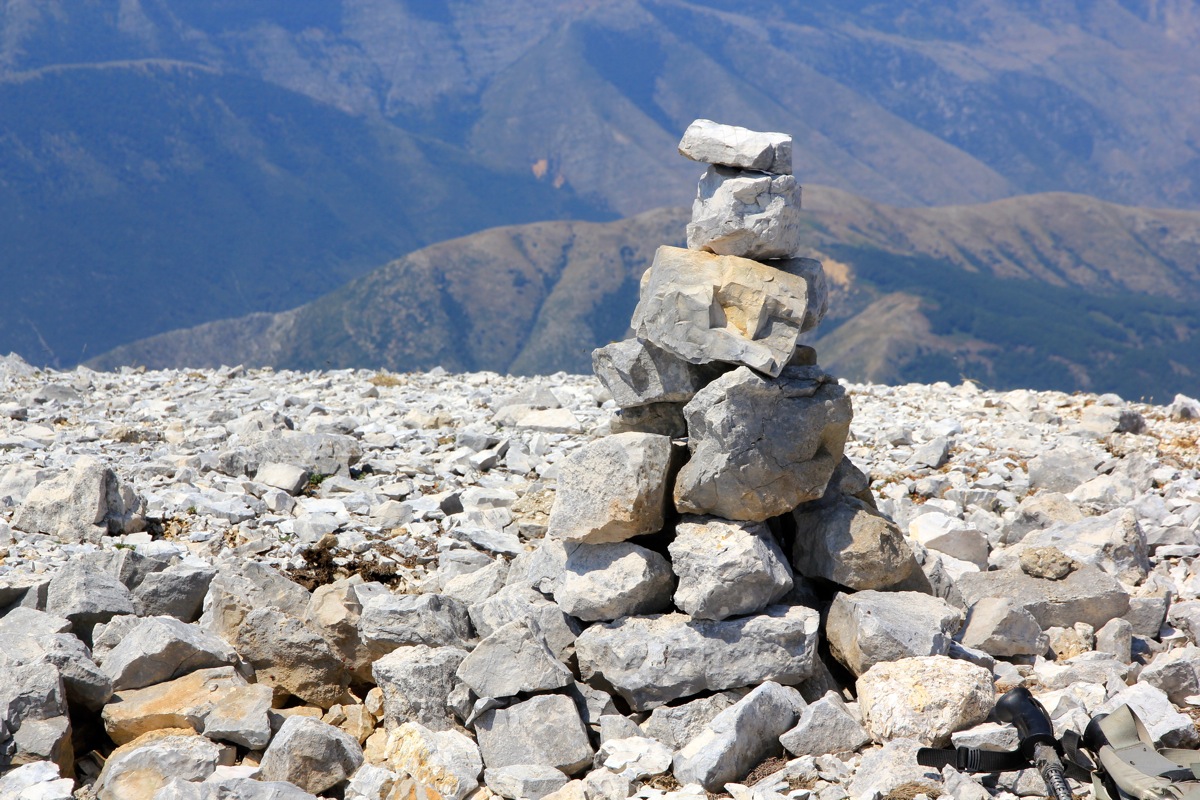
the summit. I built a small cairn there, perhaps you will see it?
Trip Report / Comments:
This being the last day of our vacation, and having a rest day with only sun and swimming yesterday,
the temptation to explore a P600 mountain nearby was quite strong. I left the hotel shortly after 0700 and
had parked at the trailhead (my trailhead that is..) by 0830. I decided to try a pretty direct line up to the
main crest, then follow the high ridge to the summit. I left the car at 0830 and the plan was quite reasonable.
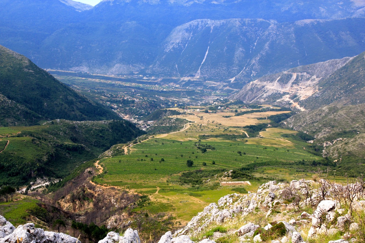
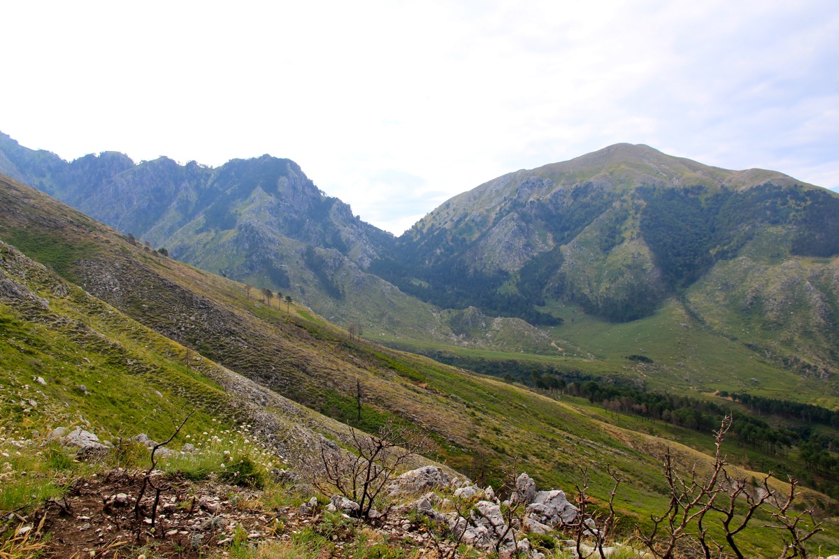
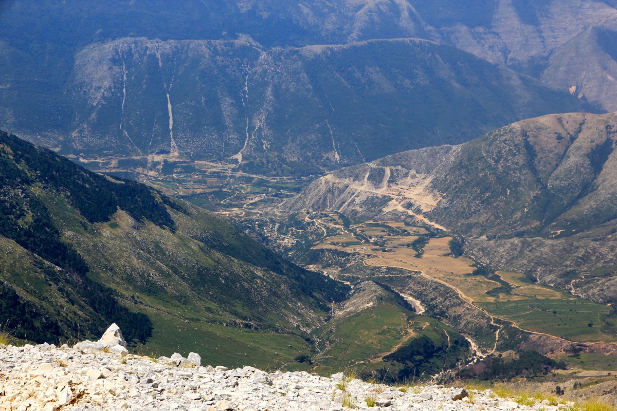
The first rocky ridge was quite nice and already up there,
I had a good view of the Dukat valley as well as
directly back down to my car.
Sort of steep uphill with loose gravel in the beginning, then a very pleasant walk along the ridge with nice
high country landscape.
I noticed sheep on my left side and carefully stayed at the ridge with the hope that none
of the dogs would notice me. This worked well and I arrived at the summit by 1130, 3 hours with more than
1150 meter of vertical gain in very hot weather. I drank half my liter of water and decided to
build a small cairn since there was no trace
of any summit marker. Few people visit here, that is certain. However some shepherd
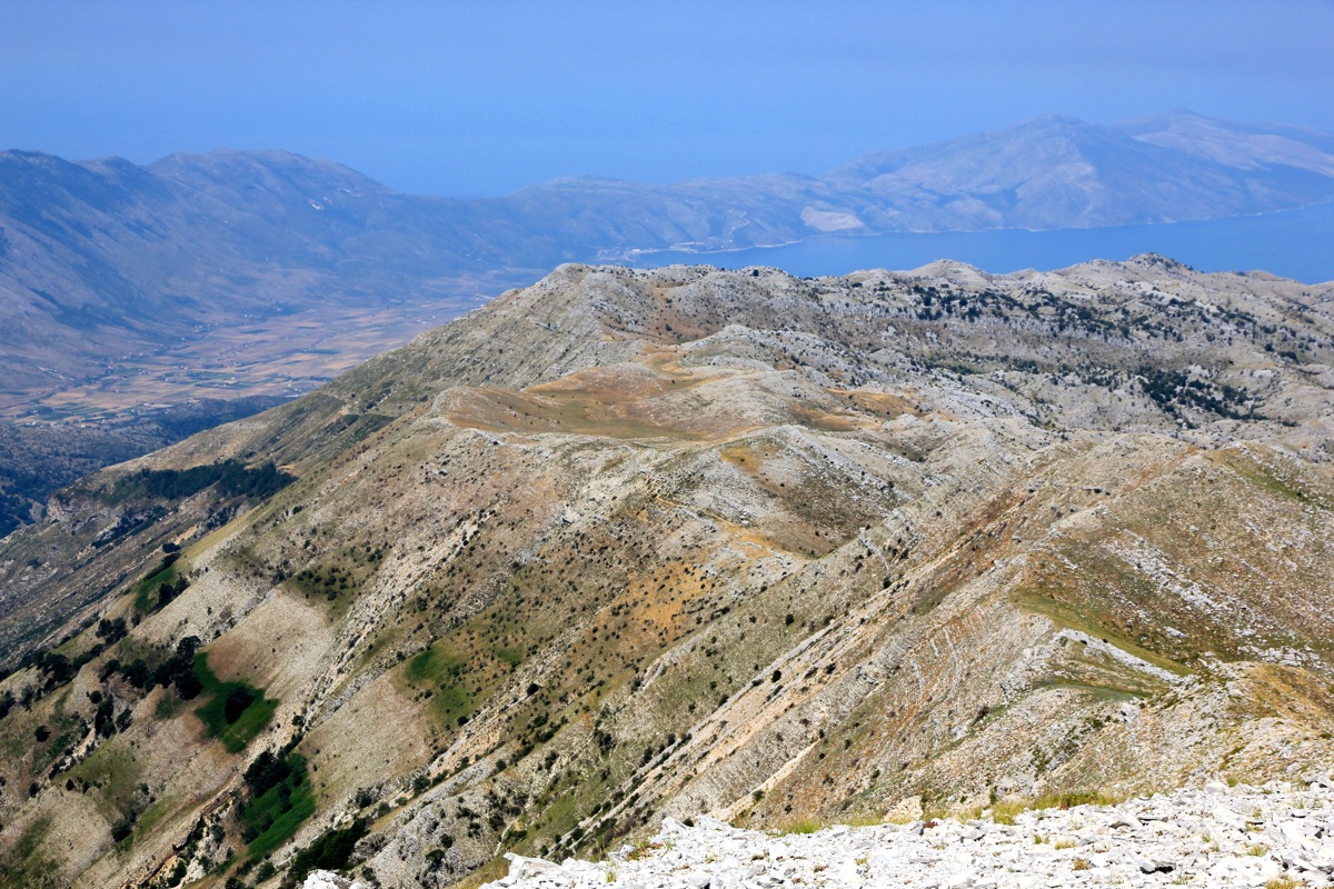
has obviously been here before me, even if they do not seem very interested in summits. The view across to
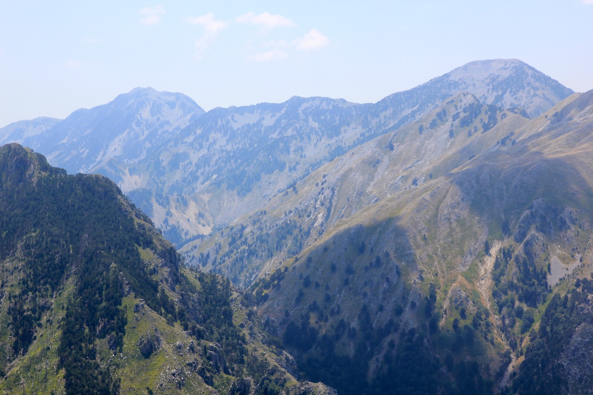
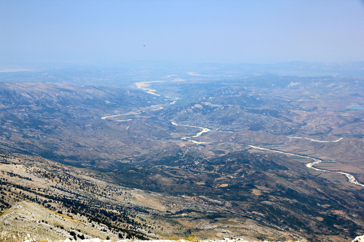
my previous peaks Maja e Cikes and Maja e Qorres was excellent.
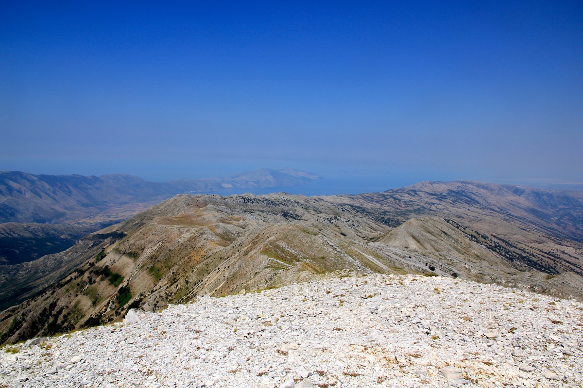
There was a wide view across
the terrain I had hiked with the Vlore bay in the distance.
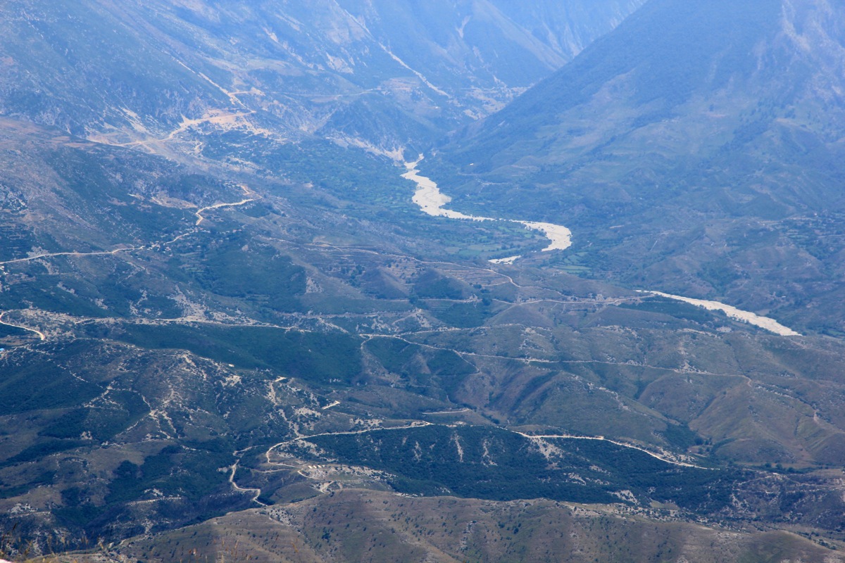
The ridge that continues
from this summit looked quite rugged. I rested 15 minutes, then started back down at 1145. With a few small
improvements to my route, I was back at my car in 1:45, at 1330. At this point more thirsty than a camel without
water for a week. I finished my last drops of water, then drove down to Dukat. Since I had spent my last
LEK (Alban currency) on gasoline, all I had was a 5 Euro bill. Worth a try, I asked the lady if I could
buy a Coke. She was hesitant, then nodded ok, and indicated that I deserved some change. I told her back
(sign language, she did not speak anything I could understand), that I rather just take more Coke. More
than happy, I drove back to our hotel for a swim with Heidi, while drinking cold Coke to recover from
what turned into a very hot last hike in Albania. In particular on such a very hot day, it was
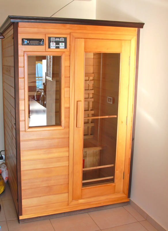
amusing to see our (private) mini-sauna back in our hotel room,
it did not see any use by us!
Here is a brief summary of the peaks climbed on this trip.