Plomb Du Cantal
- Plomb Du Cantal
- 1855 m.
- Primary factor 774 m.
- France
- Location: North 61:49.206, East 006:53.627 (GPS at the summit)
- Difficulty: (YDS) class 1.
- Climbed July 1. 2012.
Plomb Du Cantal
|
|
Route description:
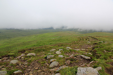
The trail (A GR trail), marked with paint, starts out along a small dirt road that leaves the
col area on the lower (opposite) side of the refuge (mountain hut). Shortly, the route leaves
the road by forking left, through a small gate in the fence. This is near a small creek.
Continue across a gras area with cows, then follow the trail through an opening in a new fence
and uphill towards your right side. Higher up, the trail runs directly up a short hill to
gain the ridge line. Turn right as you cross another cattle guard, then follow the ridge until
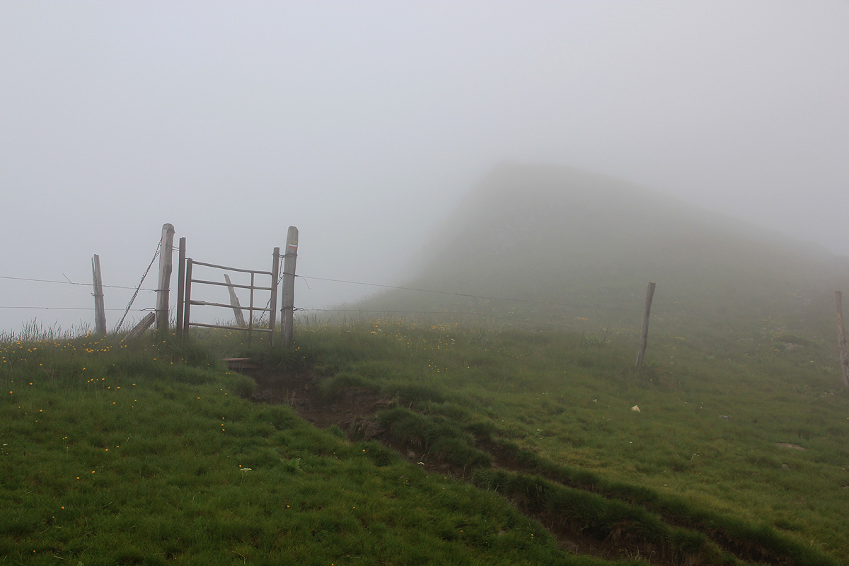
a final fence with a gate for hikers.
From this ridge, the final trail climbs a short stretch
to your right in order to gain the summit.
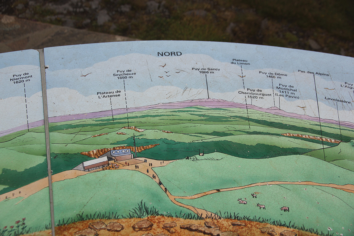
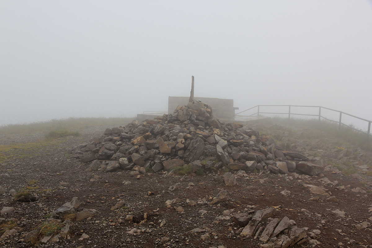
There is a map with viewing directions at the summit.
Comments:
This was the first peak on my summer trip to Europe in 2012. We had started with the DD21 conference
(Domain Decomposition), in Rennes, France. This conference had its excursion to the famous rock
Le Saint-Michel. We travelled from Rennes on
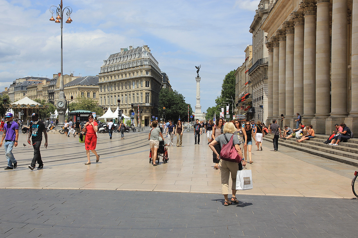
Saturday, June 30th., visited the city of Bordeaux (lunch),
before heading inland. The next day, we drove up to Col de Prat de Bouc and I got my first hike on this trip in
fog and mist.
We arrived at the trailhead in pretty dense fog with some intermittent rain.
Heidi decided to stay with the car and possibly get some lunch in the local
restaurant. I started out around 1300 and
made the summit (still fogged in) by 1340.
A short stop, then 40 minutes also on the return hike.