Location: North 40:54.864, East 024:05.378 (GPS at the summit)
Difficulty: YDS class 2
Climbed July 8, 2010.
Information:
How to get there:
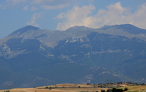
This mountain is located between the cities of Thessaloniki and Kavala, about 3/4
of the distance from Thessaloniki. There is a communication tower on the top, but access
to the highest point is unrestricted. A pretty big road runs all the way to the top, this
road starts out west of the small village of Eleutheroupoli (which is about 11 kilometer
west of Kavala.)
However, in order to make this a hike and at the same time honor a 600 meter vertical gain
on foot, there is also a good approach from the north side of the mountain.
If coming from Thessaloniki, travel towards Kavala on the E-90, then exit onto Hwy. 59 at
Strimonas. Go 9 kilometer and fork right towards Paleokomi. Another 15 kilometer should get you near
the small village of Proti. As you face the mountain, you will see a road that runs straight towards
it and climbs to a fairly large building (a monastry). Thus, drive to the upper parts of Proti and
locate this road. The road is paved and runs into a small valley before climbing the slope in order
to serve the monastry. Immediately before you arrive at the monastry, a very clear dirt road forks
right. Take this road (it is possible to drive this road with an ordinary car if driven carefully.)
The road zig-zags up the slope and gains considerable elevation. You will notice that there is
an antenna above you. Just as you are very near this antenna, a short side road forks right. Take this
road just a few meter (uphill), and find parking right next to the antenna.
This location is N40:55.896, E024:03.991, elevation 1192 meter.
Route description:
From this trailhead, do not walk up along the road, but hike off-trail directly
uphill. There is some forest and perhaps slightly cumbersome terrain in the very
beginning, however, this only lasts for a short time. You will notice that you
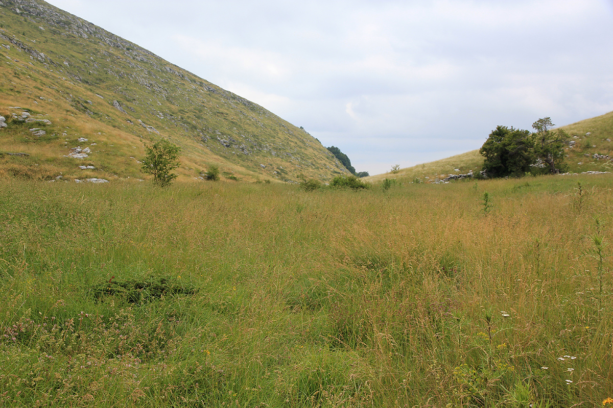
enter a very clear valley. Continue up and into the flatter section of this valley.
You should pass some old ruins (rocks) on your left side as you advance further
into this valley. (The picture is taken looking out the valley.)
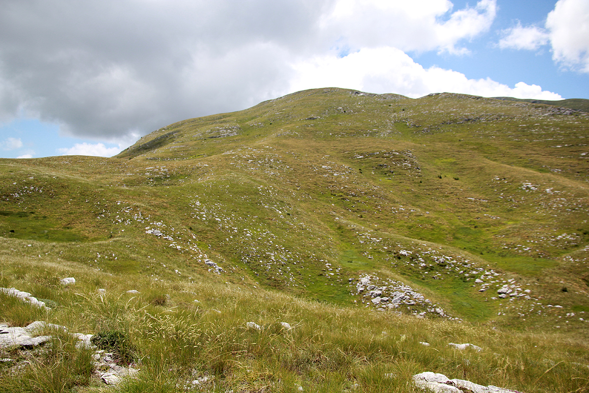
Before the valley starts to climb uphill again, find a good line
for traversing uphill on your right (west) side in order to gain the more level
terrain beyond. There is no need to climb the mountain that rises more up front.
Climb out of this valley along your line and head across to a new valley further
west. You should find a natural route, there may be some small trails. The best
route crosses via a shallow col, before descending only a little to reach the
next valley floor. Proceed a bit up this valley as well (ie. turning slightly left).
You can now see the summit up on your right side with the antennas. Pick a new line
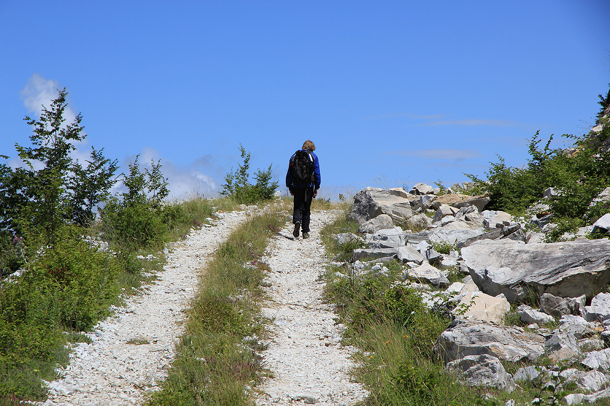
up the fairly gentle slope until you connect with the road pretty high up.
Finally, follow the road to the first building, a very short pitch up along some
partially collapsed fence will get you to the summit. This summit is very close
to the base of a smaller antenna, the bigger one is located nearby, but stands on
slightly lower ground.
Comments:
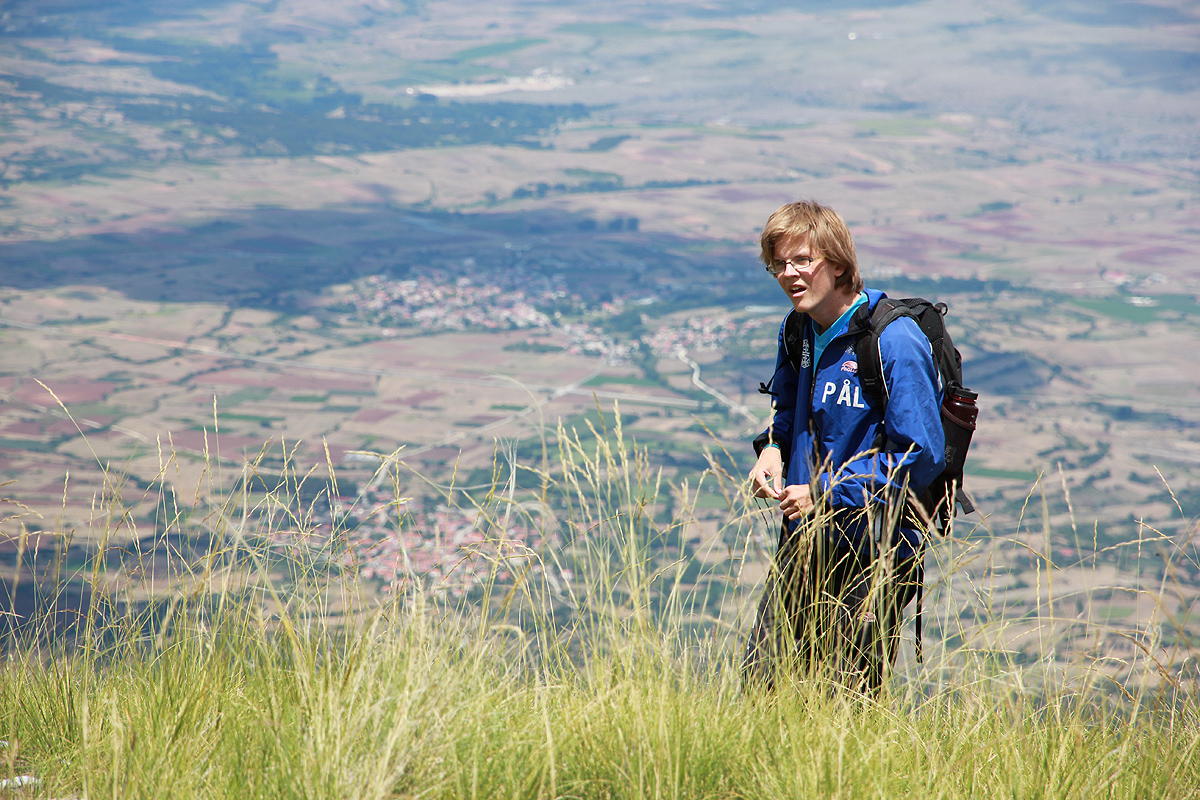
This summit was our second on this summer trip to Greece.
We drove from Eagles Palace in the morning and was ready to start hiking by 1155.
The trip turned out quite differently from what had been anticipated. I had looked carefully
at the Garmin Mapsource map beforehand and observed that the road coming up from the north,
essentially connected with the main road from the opposite side. In any event, the small missing
section had a clear and obvious trail. Little did I know that this map was completely in error.
We parked at the antenna tower and proceeded along the road that
continued to climb as it traversed the slope. We were more than a little surprised when the road just ended
at location N40:56.414, E024:05.230, elevation 1400 meter. It was still pretty obvious what to do, just continue
up the long, green slope above us.
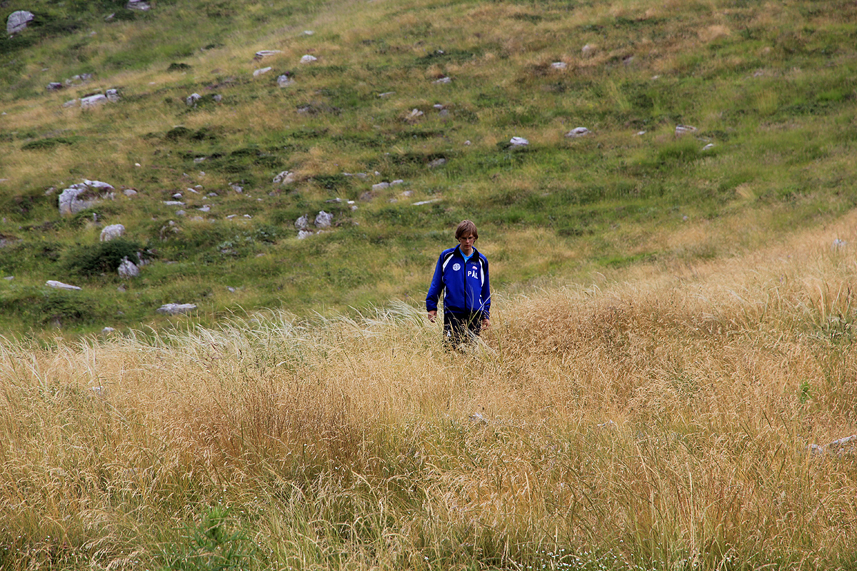
As we continued uphill through pretty high grass, we
decided to stay left of the summit above us, we understood
that this could not be the highest top.
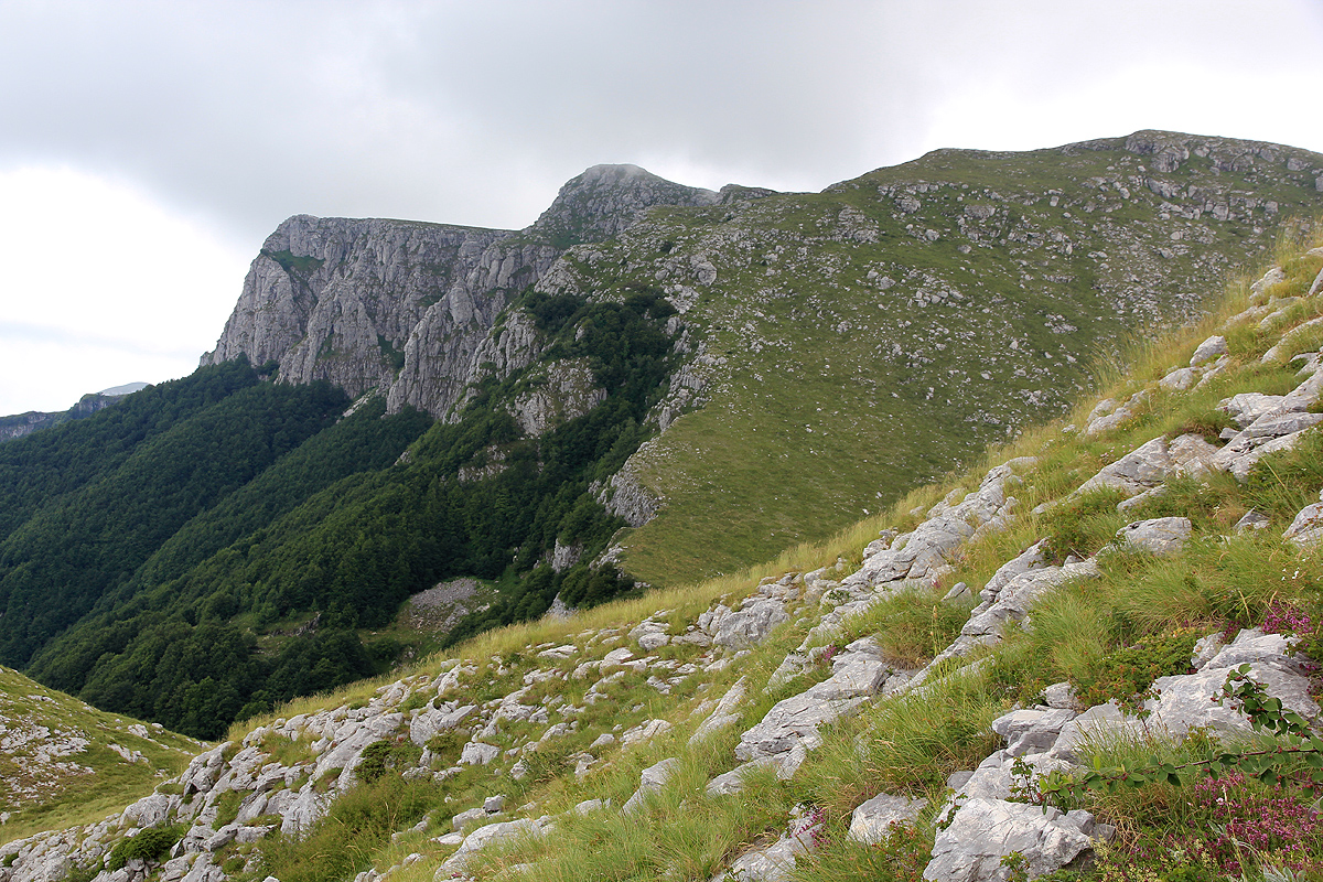
We finally reached a ridge line and, looking further, we saw the summit
towards the horizon. It seemed like a long way and, to make things slightly worse, we had to descend to a connecting
col before starting our final ascent. Finally, at 1340, almost two hours after starting out on what was believed
to be a short an easy hike, we stood on the summit. However, shortly before another bad piece of news, we had
observed a summit with antennas in the fog across the valley.
We had climbed a peak north-east of the one we wanted.
This subpeak had its own summit marker as well as a trigonometric marker. We walked through its key saddle and
measured it to 1815 meter, at least we could count this subpeak as a separate, independent top.
By the time we reached the correct summit, the time was 1415 and this hike turned out to be more off-trail
and considerably longer than I had believed while planning. We took some photos and looked around. Grey clouds
everywhere and then it started raining. After a pretty short break we descended, quite determmined to find a
more reasonable return route. We descended into the first valley and crossed over a small col to get into
the second valley. The slope was wet and full of grass, quite slippery. The visibility was very poor in the upper
part of our return, but by the time we came down into the second valley,
we were sort of under the clouds.
Fortunately, the GPS told us that the
car was just downslope in the direction of the valley floor.
Quite right so, before long we spotted the top section of the antenna where the car was parked.
We were back by 1530, the descent had taken us approximately one hour.
Our next destination, the
island of Samothraki, required a ferry that would
not leave until the next day.