Location: North 59:46.966, East 007:05.770 (GPS at the summit)
Difficulty: (YDS) class 2.
Climbed March 16. 2012.
Information:
How to get there:
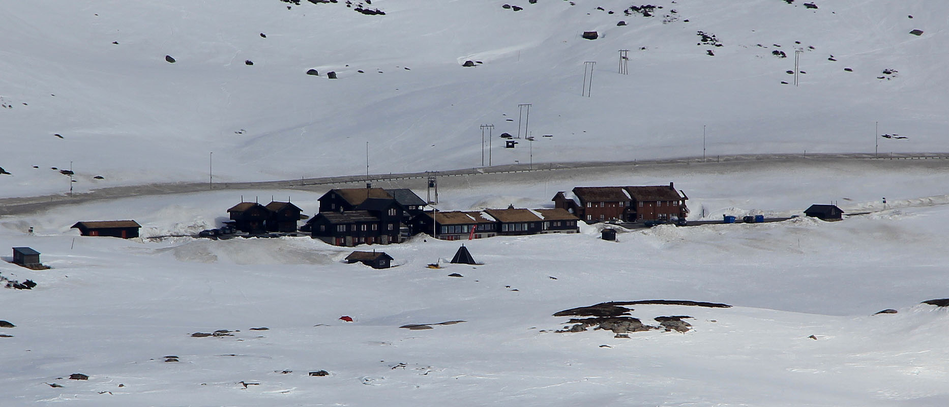
A good starting point is the full serve DNT tourist hut, Haukelisæter, 986 meter,
located at Hwy. E-134, location N59:49.439, E007:11.605. This hut is about 4 hours drive from Bergen.
Route description:
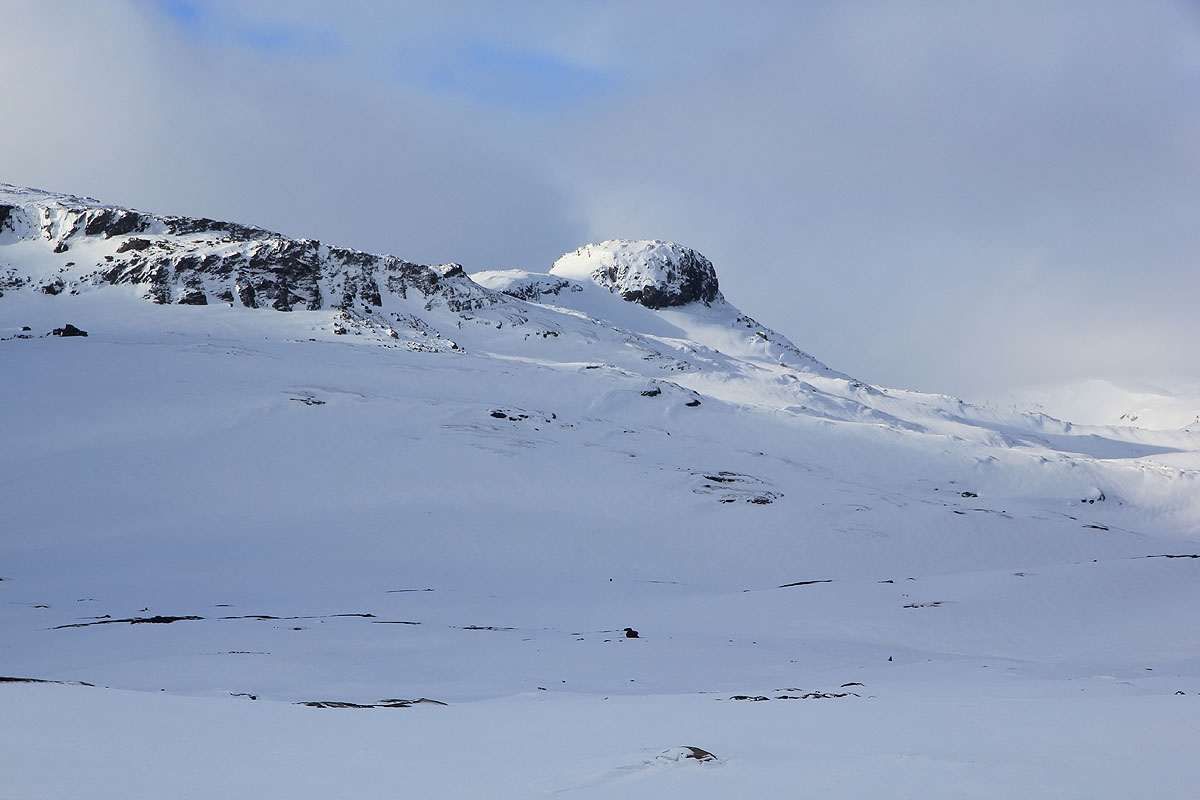
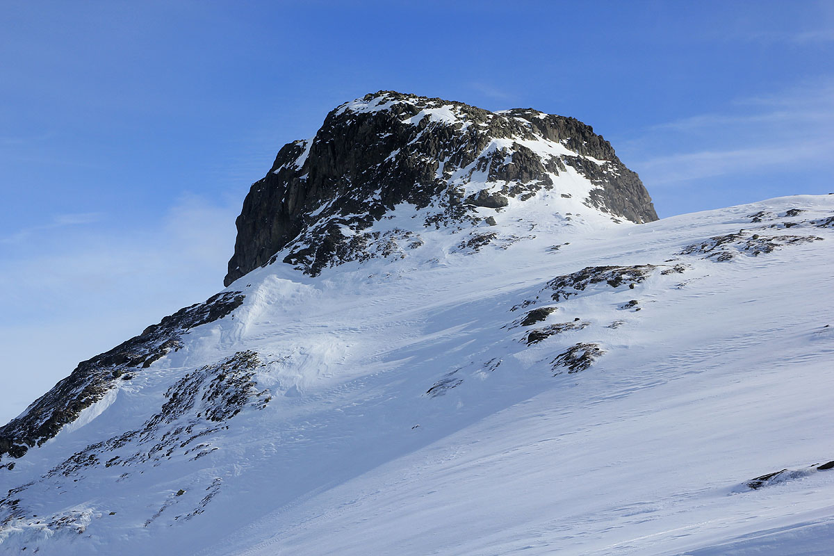
Cross the lake Ståvatn and ski towards the steep and
characteristic Kista, 1326 meter. Traverse up on the right hand side.
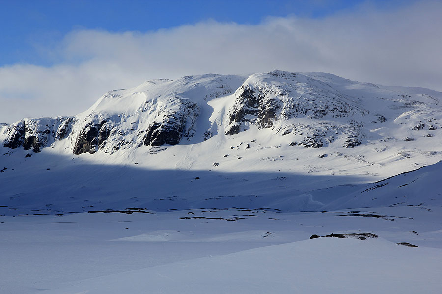
As you bear left into the col between Kista and the higher mountains
behind it, continue to ascend and climb a fairly nice snow slope on your
right hand side of steeper cliffs. Look left as you ascend and traverse
across at the lowest passage that looks promising to your left. This way
provides an easy access to nicer terrain above. Continue uphill and cross
the west end of the small lake near point 1396. Another uphill and you pass near point
1466, then towards the south-east end of lake 1418. Ascend a nice and well shaped valley
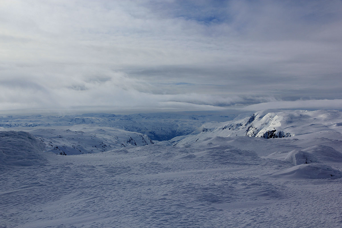
south of the lake to gain the final ridge of Kistenuten. The top area is fairly flat and
the mountain has a proper cairn marking its high point.
Comments:
I did this trip with Stig Anton from the Bergen Mountaineering group.
We started at Haukeliseter at 0915 and made the summit shortly after
1145, so about 2.5 hours. We turned left before Kista and then skied across
to the proper col on the east side of Kista, this worked well.
The skiing back down was nice and quick.
The summit of Kistenuten marks the point where Telemark, Rogaland and Hordaland meets in
a single point.
Resources:
Images
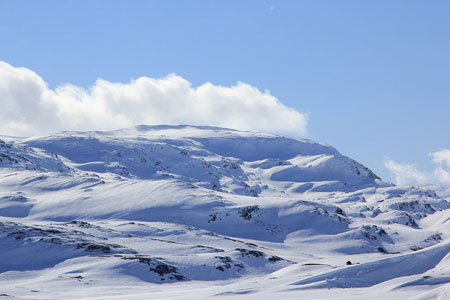
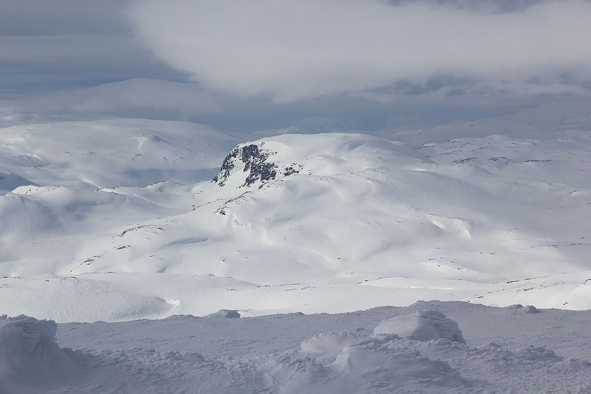
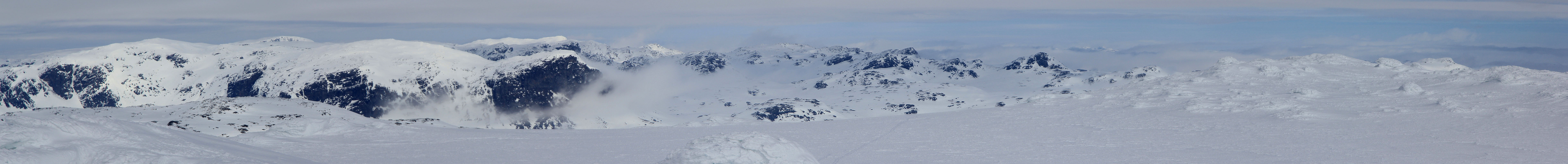
Kistenuten, as seen from Haukelisæter. The summit is far behind.