Location: North 36.39870, East 029.62136 (GPS on the summit)
Difficulty: YDS class 2
Climbed July 9. 2016.
Information:
How to get there:
Starting from the town of Kas, located on the south coast of Turkey, head uphill
on D-400 direction Antalya. On top of the hill, pass through a local town, just as you
exit this community, the road forks, going (straight) left is signed for Elmali, take this road.
Just as you are getting into the next town, called Kasaba, locate a PO gas station on your right
hand side. About 50 meter onwards, there is an intersection where a side-road goes left, signed
for Kandyba. Take this road, measure from here.
At kilometer 0.5, (N36.30396, E029.72845) fork right again a sign for Kandyba.
At kilometer 2.8, (N36.30243, E029.70601) there is a new
fork, go right. A small sign here says Akörü 11. This road
is tarmac all the way and easy to drive. Stay on the main road as it climbs into the mountains. At kilometer
20.4, youhave reached the highest point of the road in a left curve, there is parking for one car off on
the right hand side of the road. Park here, this is the trailhead, location N36.39460, E029.63925, elevation
about 1428 meter.
Route description:
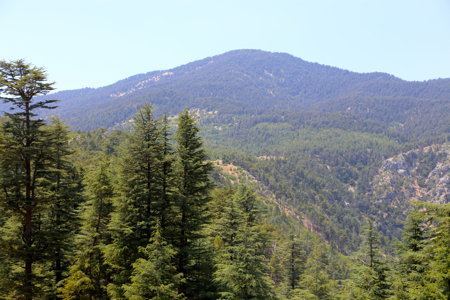
Immediately across the road, a forest road begins. Follow this nice path/road until
it curves sharply right. A trail continues straight ahead, take this trail up a small
valley to a small meadow (small area with grass). Turn a bit right and head uphill among
big trees. The terrain is easy to walk, no bush. Continue uphill until you gain the main
ridge, the SE-ridge of Katran Dagi. Follow this ridge (broad and easy) to the summit.
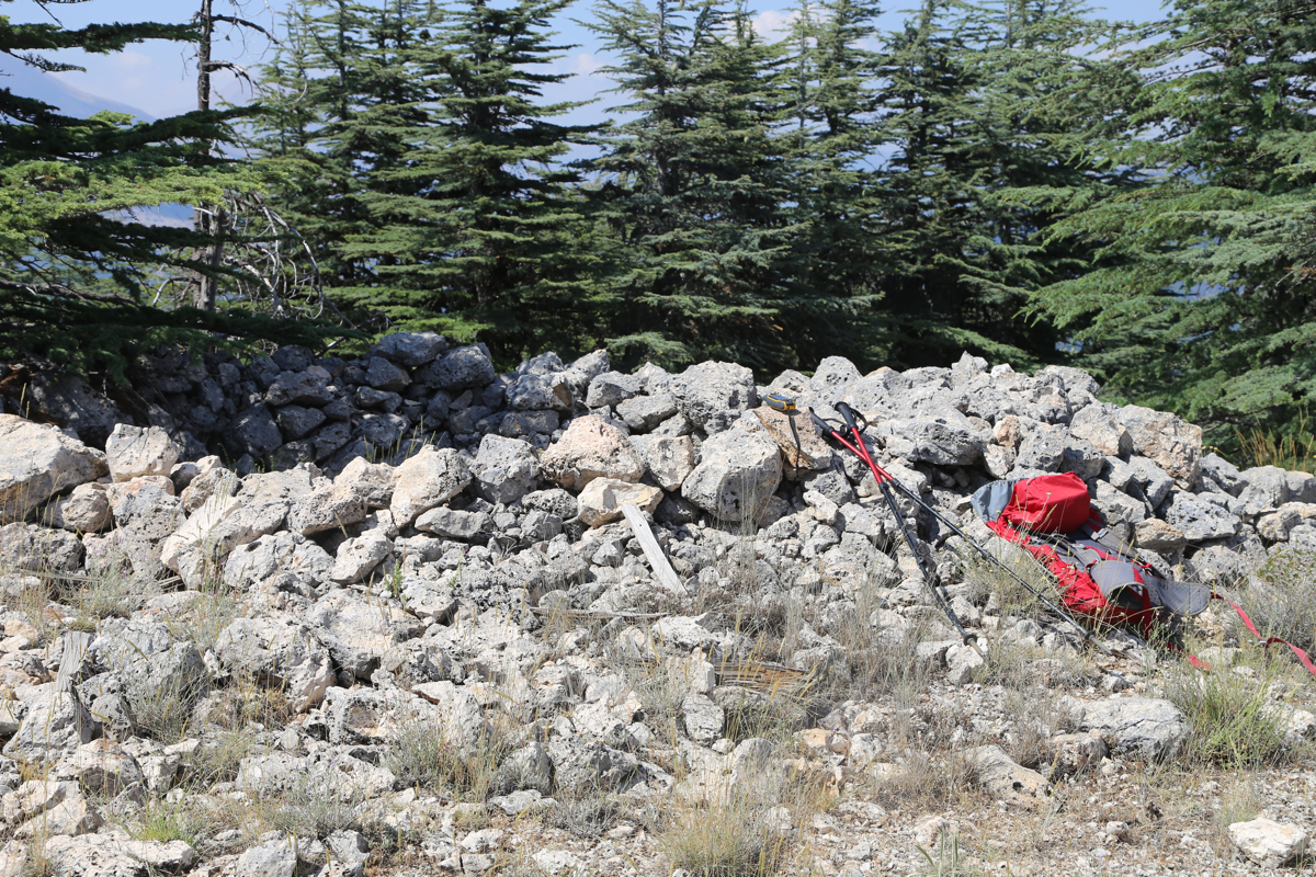
The summit is a flat grass area with
a circular stone ring at one end.
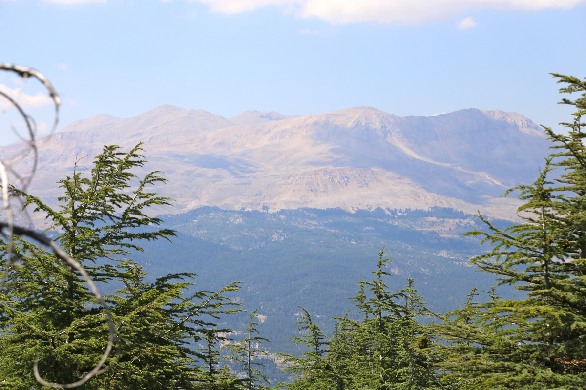
There is a good view
across towards Uyluk Tepe.
Comments:
I left our hotel in Kas around 1400. I first drove to Kasaba, then onwards (direction
Elmali) to the small community Kemer. After crossingf the bridge, I located a forest road (dirt)
that went uphill in many zig-zag turns. High up, to my surprise, the road quality improved from
dirt to tarmac. Even higher up, a bigger road came from my right, this is the road described
above. I left the car at 1455, and found what seems like a close to optimal route to the summit,
arriving there in 45 minutes. Good view across to Uyluk.
I enjoyed the good weather and my water,
leaving after 15 minutes. Back by my car at 1630, I decided to document and drive the bigger road
back to Kasaba.
This completed my hiking with Kas as our base camp. Tomorrow we shall drive to lake Egidir, quite a bit
north of here.
Here is a quick summary of peaks climbed in our trip to Turkey.